The best walks and hikes around the Caledonian Canal
4.3
(5530)
41,370
hikers
108
hikes
Hiking around the Caledonian Canal offers diverse terrain through the Scottish Highlands, connecting four natural lochs including Loch Ness. The region is characterized by its 60-mile canal, dramatic glens like Glen Nevis, and towering mountains such as Ben Nevis. Hikers can explore well-maintained towpaths, forestry tracks, and mountain trails, providing varied experiences from gentle strolls to challenging ascents. The landscape features expansive lochs, impressive waterfalls, and historic sites.
Best hiking trails around the Caledonian Canal
- The most popular hiking route is Cow Hill Circuit, a 6.5 miles (10.4 km) trail that takes 3 hours 44 minutes to complete. This moderate route offers views of Ben Nevis and the surrounding landscape.
- Another top favourite among local hikers is Ben Nevis Mountain Path – Red Burn Waterfall loop from Fort William, a moderate 7.2 miles (11.5 km) path. This route provides an experience of the lower slopes of Ben Nevis, passing a significant waterfall.
- Local hikers also love the View of River Lochy – Inverlochy Castle Ruins loop from Fort William, a 4.2 miles (6.7 km) trail leading through riverside scenery and past historic ruins, often completed in about 1 hour 43 minutes.
- Hiking around the Caledonian Canal is defined by its loch-side paths, dramatic glens, and canal towpaths, offering a blend of natural beauty and engineering marvels. The network offers options for different ability levels, from easy walks to difficult mountain ascents.
- The routes in Caledonian Canal are highly rated by the komoot community with an average score of 4.4 stars from over 2000 reviews. More than 13000 hikers have used komoot to explore Caledonian Canal's varied terrain.
Last updated: October 10, 2026
4.6
(331)
1,295
hikers
10.4km
03:04
300m
300m
Embark on the Cow Hill Circuit, a moderate hike spanning 6.5 miles (10.4 km) with an elevation gain of 987 feet (301 metres), typically completed in about 3 hours and 4 minutes. This route guides you through a varied landscape, transitioning from peaceful deciduous woodlands to structured forestry plantations and expansive open moorland. As you ascend, you'll be treated to sweeping panoramic vistas of Loch Linnhe and Fort William from the summit of Cow Hill. Keep an eye out for the majestic Ben Nevis Range in the distance, a truly iconic sight. The trail offers a refreshing blend of natural beauty and rewarding views, making it a perfect outing for a few hours.
Accessing the Cow Hill Circuit is straightforward, with several convenient entry points available directly from Fort William town center. You can also begin your hike from the Braveheart Car Park located in Glen Nevis, offering another easy starting point. The route remains popular throughout the year, so you can plan your visit whenever suits you best. However, be prepared for potentially muddy sections, especially after heavy rainfall, and consider wearing waterproof footwear to ensure a comfortable experience.
This circuit is particularly notable for its accessibility and the diverse ecosystems you encounter along the way. You will traverse through different types of forest before reaching the open moorland, providing a dynamic hiking environment. The trail also offers a chance to spot wild blueberry and raspberry plants, adding a delightful touch to your journey. It serves as an excellent introduction to the stunning natural beauty surrounding Fort William, providing impressive views without requiring an overly strenuous effort.
4.5
(119)
662
hikers
11.5km
04:34
610m
610m
Moderate hike. Good fitness required. Mostly accessible paths. Sure-footedness required.

4.5
(41)
181
hikers
9.72km
02:57
300m
300m
Moderate hike. Good fitness required. Easily-accessible paths. Suitable for all skill levels.
4.5
(35)
207
hikers
16.0km
04:59
600m
600m
Moderate hike. Good fitness required. Easily-accessible paths. Suitable for all skill levels.
4.8
(30)
163
hikers
21.4km
07:27
730m
730m
Hard hike. Very good fitness required. Mostly accessible paths. Sure-footedness required.
4.7
(88)
469
hikers
27.7km
07:50
510m
510m
Hard hike. Very good fitness required. Sure-footedness, sturdy shoes and alpine experience required.
4.1
(34)
200
hikers
Easy hike. Great for any fitness level. Easily-accessible paths. Suitable for all skill levels.
4.2
(19)
89
hikers
8.14km
02:11
100m
100m
Moderate hike. Good fitness required. Easily-accessible paths. Suitable for all skill levels.
4.6
(23)
106
hikers
Moderate hike. Good fitness required. Easily-accessible paths. Suitable for all skill levels.
4.6
(15)
108
hikers
20.4km
05:55
540m
540m
Hard hike. Very good fitness required. Easily-accessible paths. Suitable for all skill levels.
Get access to more routes and recommendations from other explorers.
Already have an account?
Our route recommendations are based on thousands of hikes, rides, and runs completed by other people on komoot.
Start today with a free account
Your next adventure awaits.
Popular around Caledonian Canal
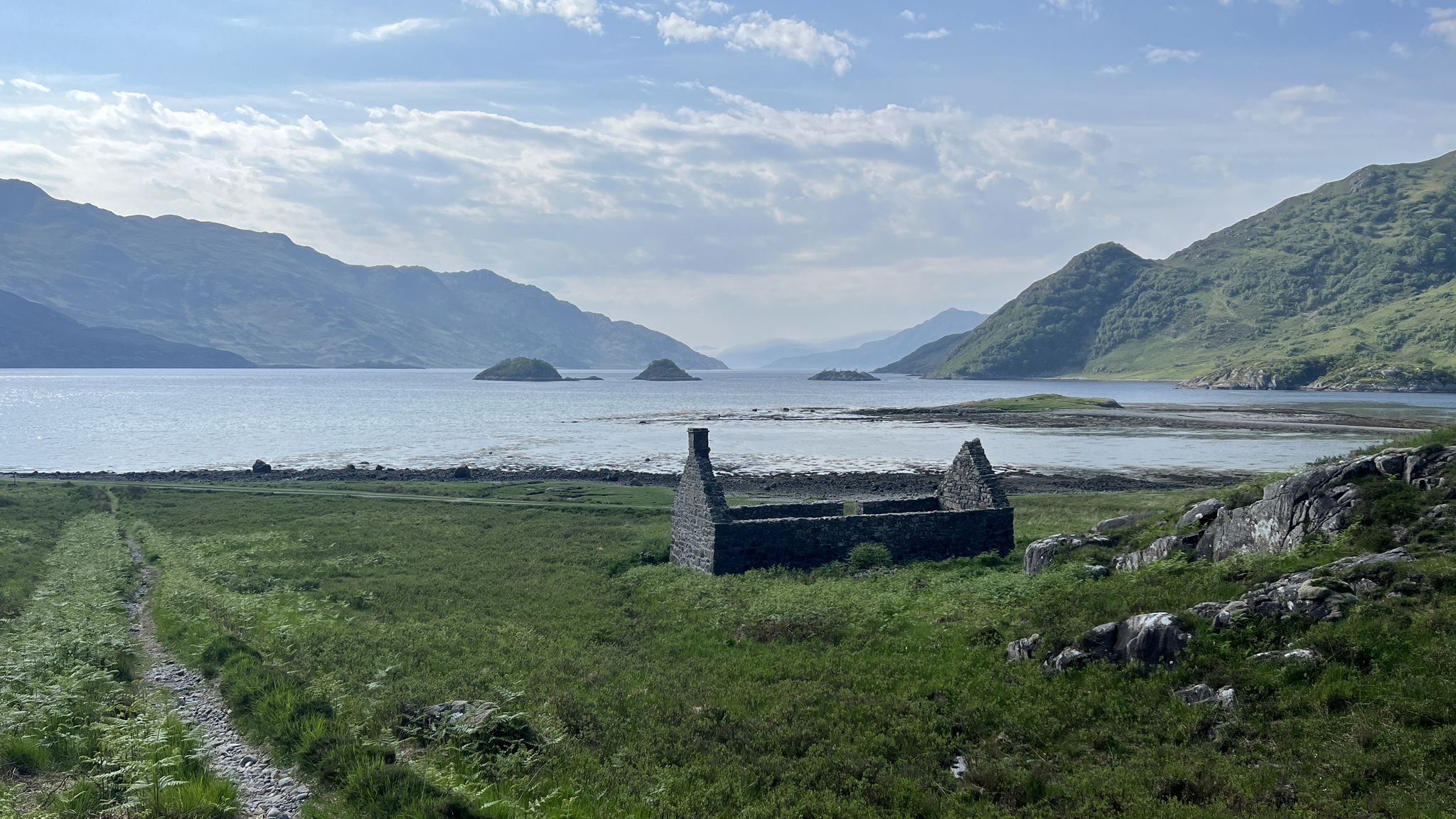
Cape Wrath Trail – Scotland’s wildest and most spectacular hiking route
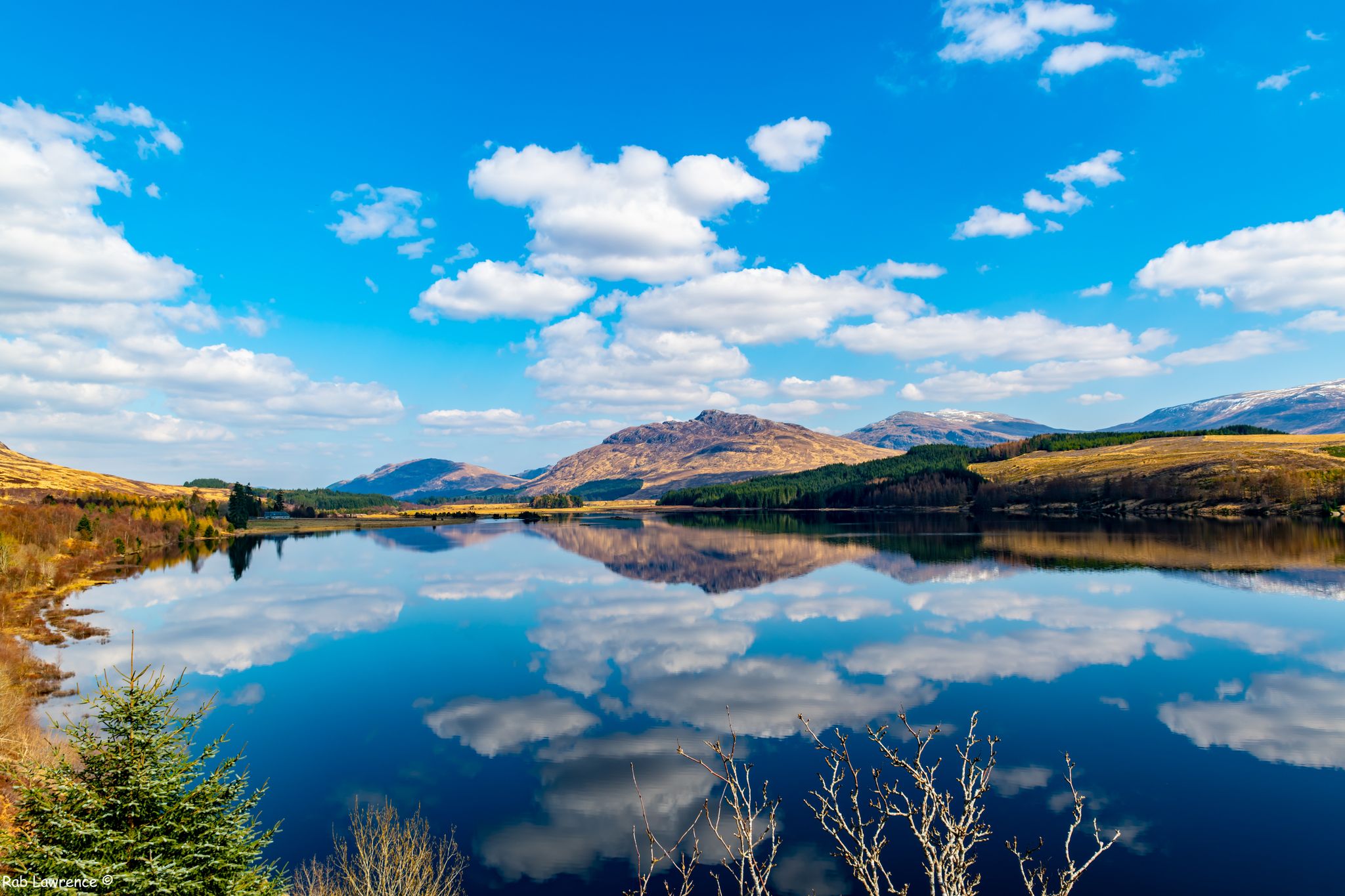
East Highland Way — Hike through Scotland's remote, mountainous heart
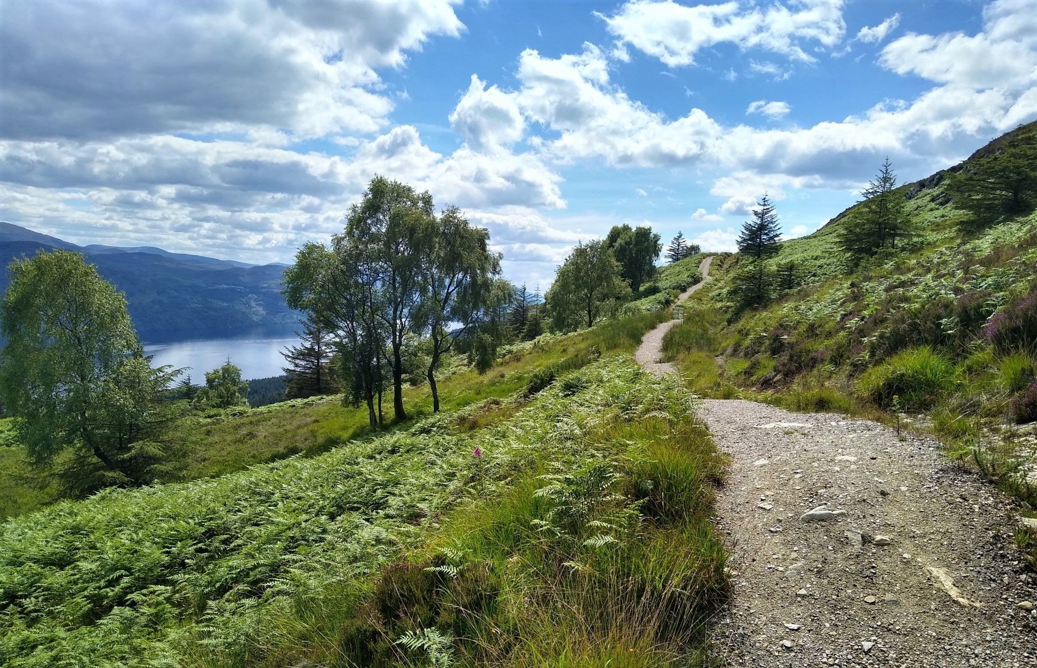
Great Glen Way: An epic coast-to-coast across the Highlands

Walk Britain – 90 car-free adventures in England, Wales and Scotland
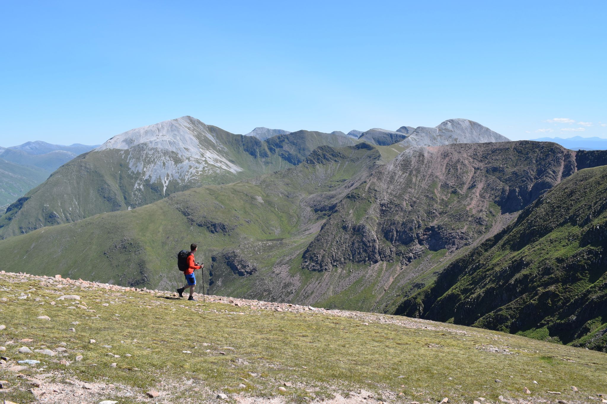
Discover the heart of the Highlands – hiking in Glen Nevis
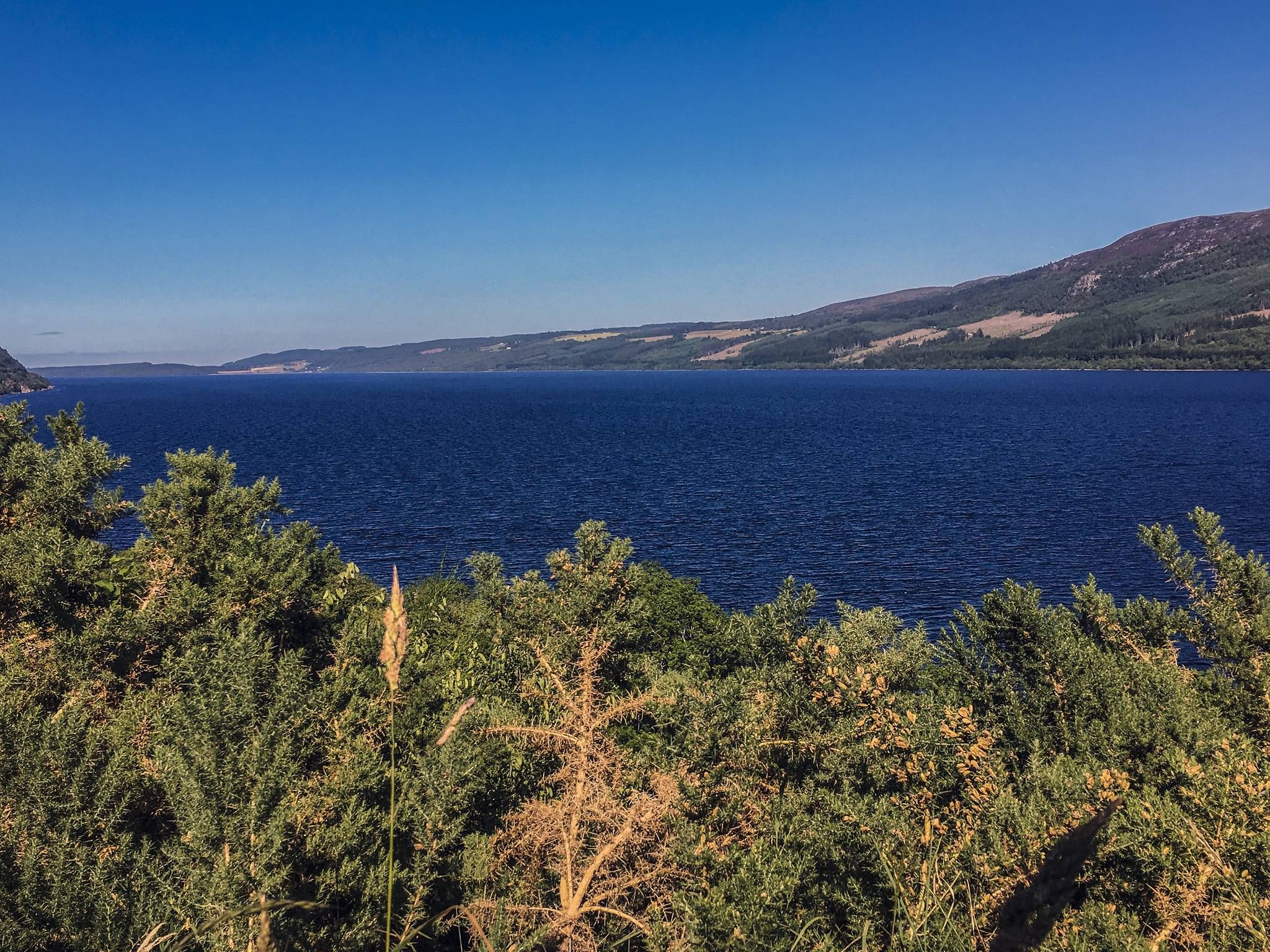
Caledonia Way – Cycling Coast to Coast through the Scottish wilds
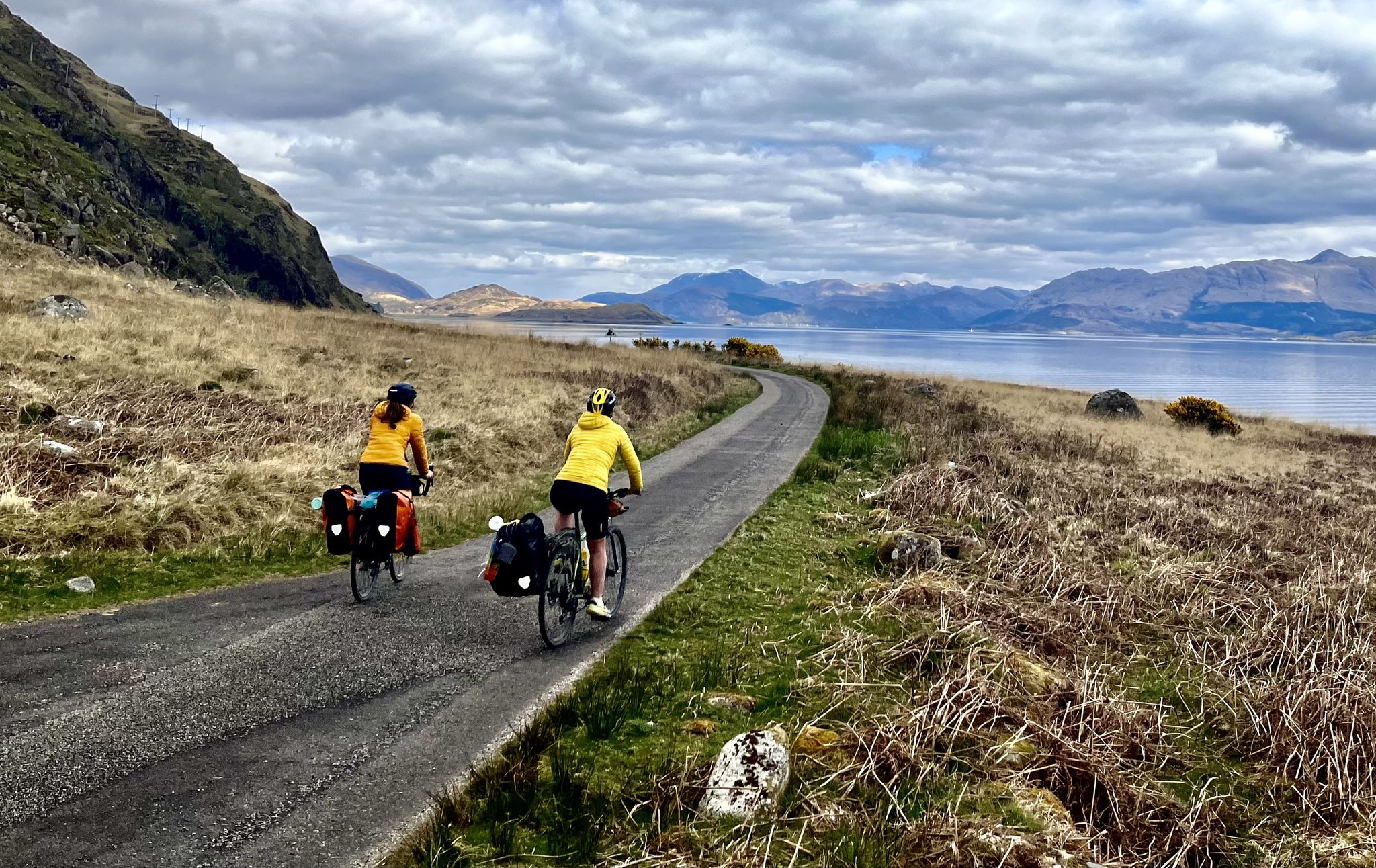
Lochs, forests and mountain huts — Highlands bothy loop
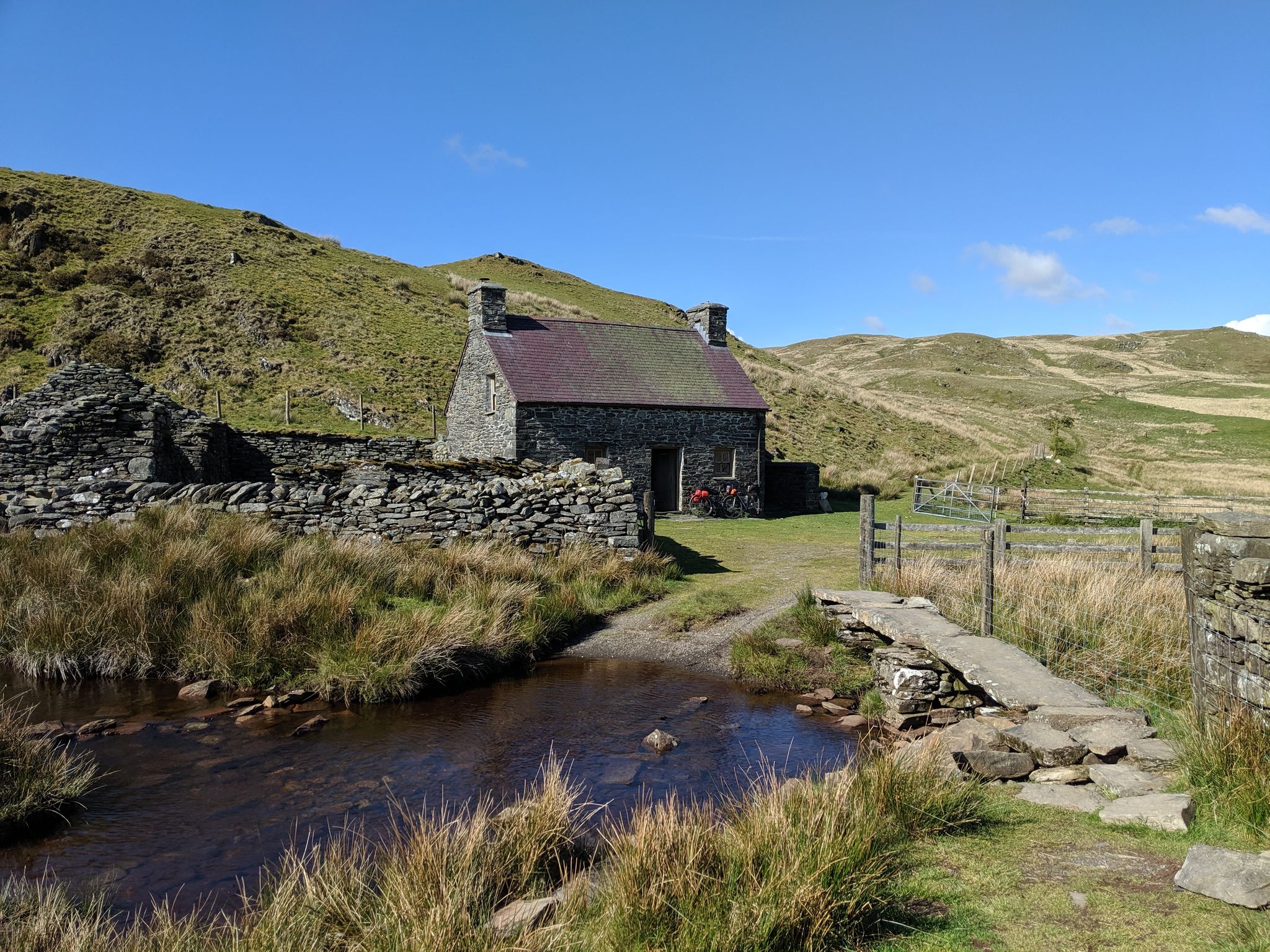
Bikepacking the best of British Bothies
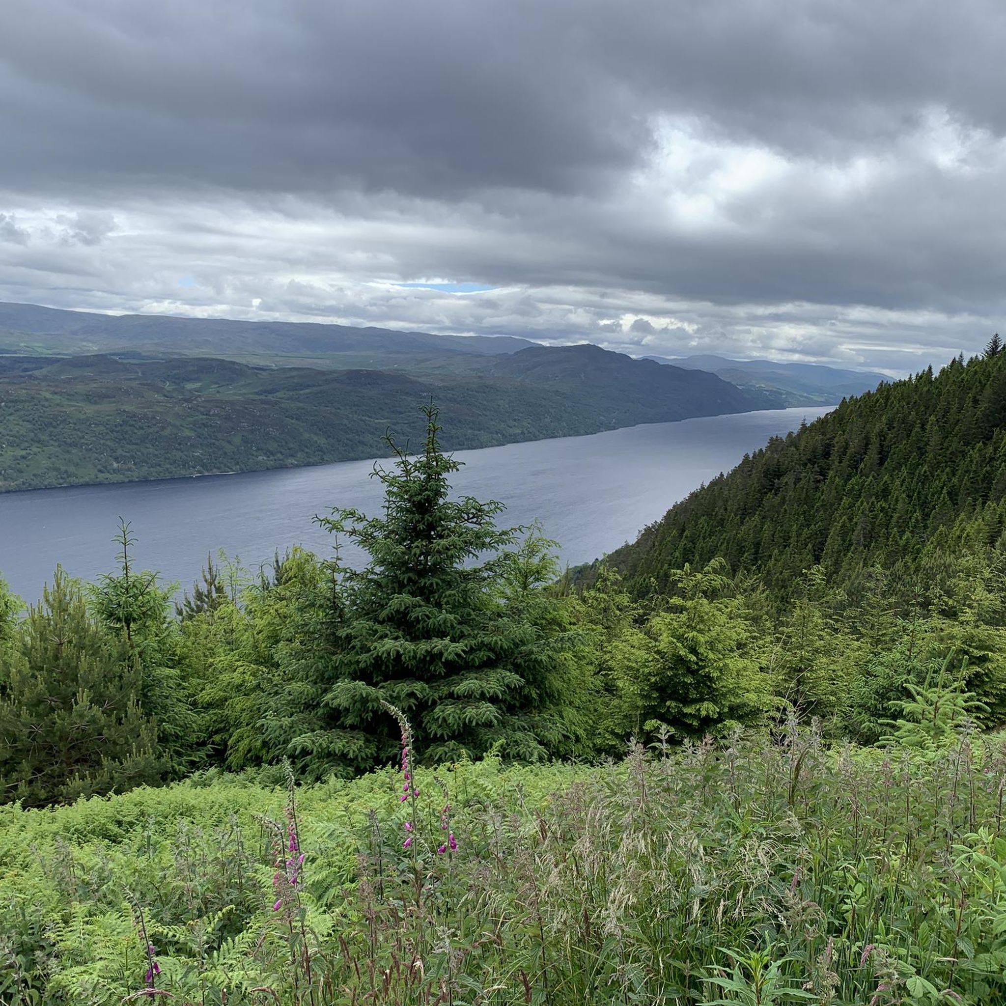
Cycling around the Caledonian Canal
Running Trails around the Caledonian Canal
Other adventures around the Caledonian Canal


Tips from the Community

This is a stunning mountain waterfall and when you pass it it is even more spectacular
0
0

Cozy resting place with a bench
9
0
End marked with a sign. Makes for a beautiful photo subject.
8
0

On the way to the summit, here is a nice spot to pause
1
0

Not much left of the fort but well worth it for the views.
0
0

One of the most beautiful places one can see
1
0

Done! After over 150 kilometers and 7 stages, you reach the official end point of the West Highland Way. This is also marked as such. A selfie at the info board or the statue "The Wanderer with the Sore Feet" is mandatory :-)
0
0
Frequently Asked Questions
How many hiking trails are available around the Caledonian Canal?
The Caledonian Canal region offers a wide variety of hiking experiences, with over 100 routes available. These range from gentle strolls along canal towpaths to more challenging mountain ascents, catering to all fitness levels.
Are there easy hiking routes suitable for beginners around the Caledonian Canal?
Yes, the area provides numerous easy hiking options, with over 65 routes classified as easy. Many of these follow the well-maintained canal towpaths. For a gentle walk with historic views, consider the View of River Lochy – Inverlochy Castle Ruins loop from Fort William, which is 4.2 miles long and takes less than two hours.
What kind of terrain can I expect on hikes around the Caledonian Canal?
Hiking terrain around the Caledonian Canal is diverse. You'll find flat, well-maintained towpaths ideal for leisurely walks, forestry tracks offering moderate challenges, and more strenuous mountain trails with significant elevation gain, especially around areas like Ben Nevis and Glen Nevis. The region's landscape includes loch-side paths, dramatic glens, and canal-side routes.
Are there any circular hiking routes in the Caledonian Canal area?
Yes, there are many circular routes available. For example, the Cow Hill Circuit near Fort William is a popular moderate 6.5-mile loop offering views of Ben Nevis. Another option is the Ben Nevis viewpoint loop from Fort William, a 9.6 km moderate trail.
Can I hike with my dog around the Caledonian Canal?
Many trails around the Caledonian Canal are dog-friendly, particularly the canal towpaths and forestry tracks. However, always keep dogs under control, especially near livestock or wildlife, and be mindful of local signage. It's advisable to check specific route details for any restrictions before heading out.
Are there any hikes that feature waterfalls in the Caledonian Canal region?
Absolutely. The region is known for its stunning waterfalls. The spectacular Steall Waterfall in Glen Nevis is a popular destination. You can experience a significant waterfall on the Ben Nevis Mountain Path – Red Burn Waterfall loop from Fort William. Another option is the Chia-Aig Waterfalls – View of Loch Arkaig loop from Achnacarry Road End.
What are some notable landmarks or attractions I can see while hiking?
The Caledonian Canal area is rich in natural beauty and historic sites. You can hike past the impressive Neptune's Staircase, a series of eight locks near Banavie. The Inverlochy Castle Ruins are also accessible on some routes. Additionally, many trails offer views of iconic natural features like Ben Nevis and Loch Ness.
What do other hikers enjoy the most about hiking in the Caledonian Canal?
The area is highly rated by the komoot community, with an average score of 4.4 stars from over 2000 reviews. Hikers often praise the diverse scenery, from dramatic glens and expansive lochs to the engineering marvels of the canal itself. The variety of trails, catering to different abilities, is also a frequently mentioned highlight.
Are there any hikes that offer views of Ben Nevis?
Yes, several routes provide excellent views of Britain's highest mountain. The Cow Hill Circuit and the Ben Nevis viewpoint loop from Fort William are both popular choices for panoramic vistas of Ben Nevis and the surrounding landscape.
What is the best time of year to go hiking around the Caledonian Canal?
The best time for hiking is generally from spring to autumn (April to October) when the weather is milder and daylight hours are longer. Summer offers the warmest temperatures, but spring and autumn provide beautiful colours and fewer midges. Winter hiking is possible for experienced individuals, but requires appropriate gear and awareness of challenging conditions.
Are there any less crowded or 'hidden gem' hikes in the area?
While popular routes like the Great Glen Way attract many, exploring some of the shorter loops or trails slightly off the main canal path can offer a quieter experience. For example, the Mossy Forest Stream – Bench with a view of Glen Nevis loop from Fort William provides beautiful scenery away from the busiest spots.
Is public transport available to access hiking trailheads?
Public transport options, including buses, serve many of the towns and villages along the Caledonian Canal, such as Fort William, Fort Augustus, and Inverness. These can provide access to various trailheads, particularly for sections of the Great Glen Way or other routes starting from these hubs. It's advisable to check local bus schedules for specific routes.
Most popular routes around the Caledonian Canal
Most popular attractions around the Caledonian Canal

Get inspired with the komoot mobile app


Explore more
Browse the best Hikes in other regions.
