The best running trails around Dunalastair Water
5.0
(1)
200
runners
6
runs
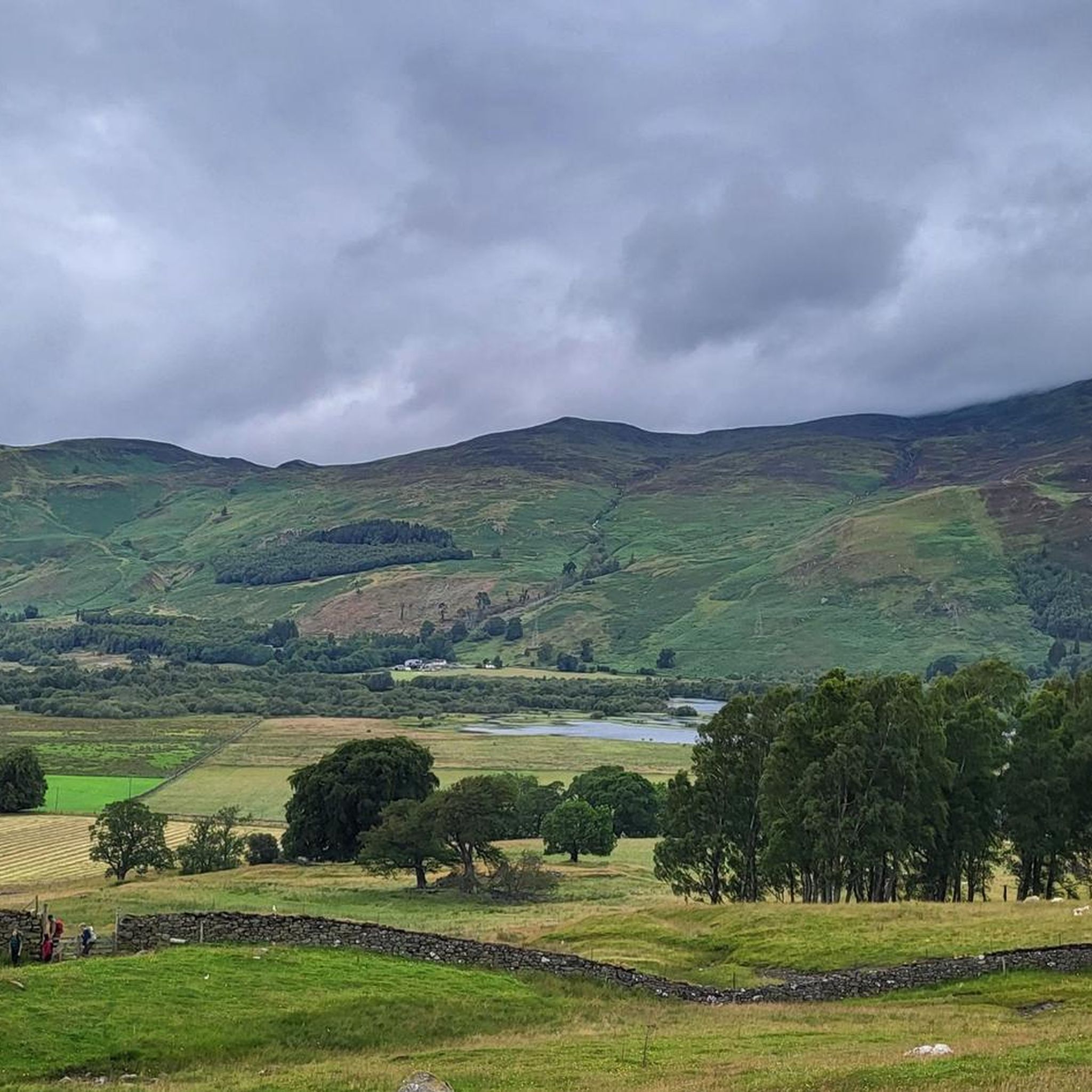
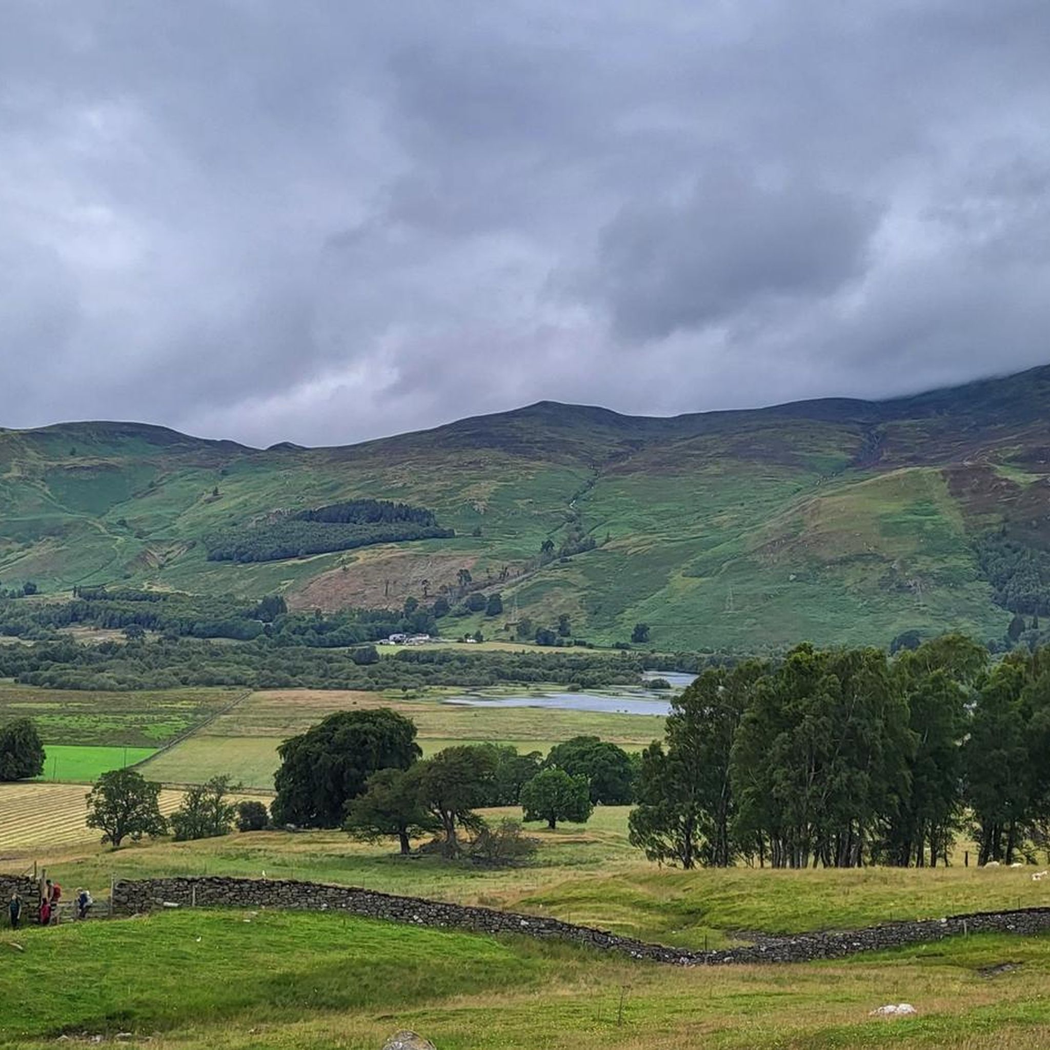
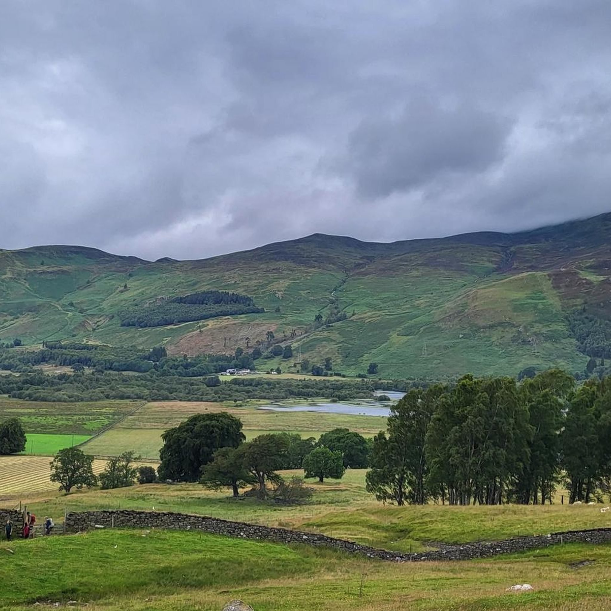
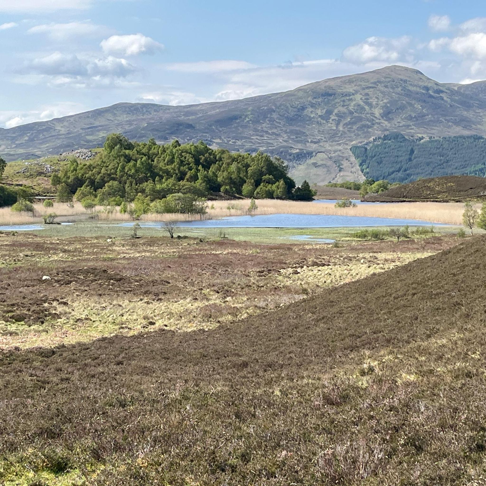
Jogging around Dunalastair Water offers diverse terrain, from scenic shorelines to woodland paths and riverside routes. The region is characterized by the crystal-clear waters of the reservoir, complemented by a dramatic mountain backdrop including peaks like Schiehallion. Joggers can explore varied landscapes, including wooded glens and paths along the River Tummel. This area provides a mix of surfaces and inclines, making it suitable for different running preferences.
Best jogging routes around Dunalastair Water
- The most popular jogging route is Running…
Last updated: July 8, 2026
2
runners
4.12km
00:37
210m
210m
Moderate run. Good fitness required. Mostly paved surfaces. Suitable for all skill levels.
13
runners
8.86km
00:55
30m
30m
Moderate run. Good fitness required. Mostly paved surfaces. Suitable for all skill levels.

Sign up for free
5.0
(1)
145
runners
10.5km
01:30
690m
690m
Hard run. Very good fitness required. Mostly paved surfaces. Suitable for all skill levels.
5
runners
7.40km
00:51
180m
180m
Moderate run. Good fitness required. Mostly paved surfaces. Suitable for all skill levels.
6
runners
16.5km
02:18
810m
810m
Hard run. Very good fitness required. Mostly paved surfaces. Suitable for all skill levels.
Our route recommendations are based on thousands of hikes, rides, and runs completed by other people on komoot.
Start today with a free account
Your next adventure awaits.
Login or Signup

Tips from the Community

Easy to get to, and the views definitely make the walk worthwhile.
0
0

Hard word but well worth it. Amazing views and the pleasure of reaching the top is amazing
0
0


Schiehallion is one of the most famous Munros and also one of the most straightforward (in good weather). The iconic cone shape visible from Loch Rannoch isn't so clear on the normal ascent as you run up the ridge from the Braes of Foss car park, but the views from the top are awesome. Easy well-made trail for the first two thirds, then a less clear boulder field summit. Almost always run as an out and back, but you can descend or ascend the steep side to create a much more epic adventure run. It's about 5km and 700m of ascent from the Braes of Foss car park to the 1,083m summit.
0
0
All Saints in Kinloch Rannoch is a member of the Scottish Episcopal Church. It's a Gothic church from the late 1800s.
0
0
A 15km long freshwater loch that's just over 1km wide and 130m deep. Loch Rannoch was once surrounded with old Caledonian pine forest; the Black Wood of Rannoch is one of the largest remnants of this ancient wood. The roads along both sides of the loch are quiet and fine to walk on with interesting adventures to be had north, south or west. Kinloch Rannoch at the eastern end of the loch is the largest settlement with pubs and a shop for supplies.
0
0
The track up to the Foss Mine is a useful access way into the hills of this area. It walks past Meall Tairneachan with only a short section of open highland to climb to the summit. Also good access to Farragon Hill. If you park at the junction with the track and the B846 be careful not to block the track. Routes that use this track are most fun at the weekend when the mine isn't working.
0
0
Frequently Asked Questions
What kind of terrain can I expect on the running trails around Dunalastair Water?
The trails around Dunalastair Water offer a diverse range of terrain, from relatively flat paths along the reservoir's edge to more moderate ascents with some elevation gain. You'll find scenic shorelines, varied woodland paths, and riverside routes along the River Tummel, providing a mix of surfaces and inclines suitable for different running preferences.
Are there any easy or beginner-friendly running routes in the Dunalastair Water area?
While the guide primarily features moderate and difficult routes, the region offers paths suitable for gentler runs. For example, the 1.2-mile Dunalastair House Ruins Loop from Kinloch Rannoch is relatively flat and ideal for a gentle jog, following the historic ruins on the reservoir's edge. The area generally provides options for various ability levels.
Where can I find routes with significant elevation gain for a more challenging run?
For a more challenging run with significant elevation, consider routes like Schiehallion from Braes of Foss car park. This difficult 6.5-mile (10.5 km) path leads towards the prominent Schiehallion peak, offering substantial climbs. Another demanding option is the Meall Tairneachan & Farragon Hill run from the B846, which covers over 10 miles with considerable ascent.
Are there any circular running routes around Dunalastair Water?
Yes, many of the routes in the area are designed as loops. A popular option is the Running loop from Kinloch Rannoch, a moderate 5.5-mile (8.9 km) trail. Another excellent circular route is the View of the Mountain loop from Tummel Bridge, a 4.6-mile (7.4 km) trail offering varied terrain and mountain views.
What are some notable landmarks or viewpoints I might encounter while running near Dunalastair Water?
The region is rich in scenic spots. You can enjoy breathtaking views of Dunalastair Water itself, complemented by a dramatic mountain backdrop including peaks like Schiehallion and Beinn a' Chuallaich. The historic Dunalastair House Ruins are located on the reservoir's edge. For panoramic vistas, the Craig Varr viewpoint, accessible via the Loch Rannoch & Craig Varr Loop, offers stunning views over Loch Rannoch.
Is Dunalastair Water a good place for family-friendly runs?
Yes, the area offers options suitable for families. While some routes are more challenging, the relatively flat paths along the reservoir's edge, such as the Dunalastair House Ruins Loop, provide an easy and enjoyable experience for families. The varied terrain and natural beauty make it an engaging place for all ages to explore.
Are dogs allowed on the running trails around Dunalastair Water?
Generally, dogs are welcome on trails in Scotland, but it's crucial to keep them under close control, especially in rural areas. Dunalastair Water is a designated Site of Special Scientific Interest (SSSI) due to its unique biological conditions and birdlife, so always ensure your dog is on a lead near livestock or wildlife to protect the natural environment.
What is the best time of year to go running around Dunalastair Water?
The best time for running around Dunalastair Water is typically from spring through autumn when the weather is milder and trail conditions are generally good. Summer offers longer daylight hours, while spring and autumn provide beautiful foliage. Winter running is possible but requires appropriate gear due to colder temperatures and potentially icy or muddy conditions.
Are there any cafes or places to get refreshments near the running routes?
Kinloch Rannoch, a village close to Dunalastair Water, offers amenities including cafes and pubs where you can find refreshments before or after your run. It serves as a convenient base for exploring the surrounding trails.
What do other runners enjoy most about the trails in Dunalastair Water?
The running routes in Dunalastair Water are highly rated by the komoot community, with an average score of 5.0 stars. Runners often praise the stunning natural beauty, the crystal-clear waters, the dramatic mountain backdrops, and the variety of terrain that keeps runs engaging. The well-maintained network of trails also receives positive feedback.
Is there public transport access to the Dunalastair Water area for runners?
Public transport options to Dunalastair Water are limited, as is common in more remote parts of the Scottish Highlands. While there might be local bus services to nearby villages like Kinloch Rannoch, it's advisable to check current timetables and plan your journey in advance. Many runners choose to access the area by car.
Do I need a permit to jog or run on the trails around Dunalastair Water?
No, you do not typically need a permit for jogging or running on the trails around Dunalastair Water. Scotland operates under the 'right to roam' principle, which grants public access to most land for recreational purposes, provided you act responsibly and respect the environment and private property. Always follow the Scottish Outdoor Access Code.
Are there any routes that pass by waterfalls?
Yes, the region's natural features include water elements. The River Tummel feeds and drains Dunalastair Water, and the 2.3-mile River Tummel, Allt Mor Waterfall & Loch Rannoch Loop leads through woodlands and offers a scenic route that includes the Allt Mor Waterfall, providing a beautiful natural sight during your run.
Most popular routes around Dunalastair Water

Get inspired with the komoot mobile app


Explore more
Browse the best Running Trails & Routes in other regions.
