The best walks and hikes around Monbrief
3.8
(14)
548
hikers
23
hikes
Hiking around Monbrief explores the gentle, rolling countryside of County Armagh. The region is characterized by urban green spaces, numerous lakes, and riverside paths, including those around the Craigavon Balancing Lakes. Most Monbrief hiking trails are flat and accessible, making the area suitable for leisurely walks. The landscape primarily features parkland and lakeside environments.
Best hiking trails around Monbrief
- The most popular hiking route is Craigavon Balancing Lakes loop from Craigavon, a 3.6 miles (5.8 km) trail that takes…
Last updated: June 27, 2026
85
hikers
3.70km
00:56
10m
10m
Easy hike. Great for any fitness level. Easily-accessible paths. Suitable for all skill levels.
52
hikers
4.73km
01:13
20m
20m
Easy hike. Great for any fitness level. Easily-accessible paths. Suitable for all skill levels.

Sign up for free
13
hikers
3.25km
00:50
10m
10m
Easy hike. Great for any fitness level. Easily-accessible paths. Suitable for all skill levels.
11
hikers
4.70km
01:13
20m
20m
Easy hike. Great for any fitness level. Easily-accessible paths. Suitable for all skill levels.
6
hikers
2.71km
00:42
20m
20m
Easy hike. Great for any fitness level. Easily-accessible paths. Suitable for all skill levels.
Get access to more routes and recommendations from other explorers.
Sign up for free
Already have an account?
Our route recommendations are based on thousands of hikes, rides, and runs completed by other people on komoot.
Start today with a free account
Your next adventure awaits.
Login or Signup
Tips from the Community

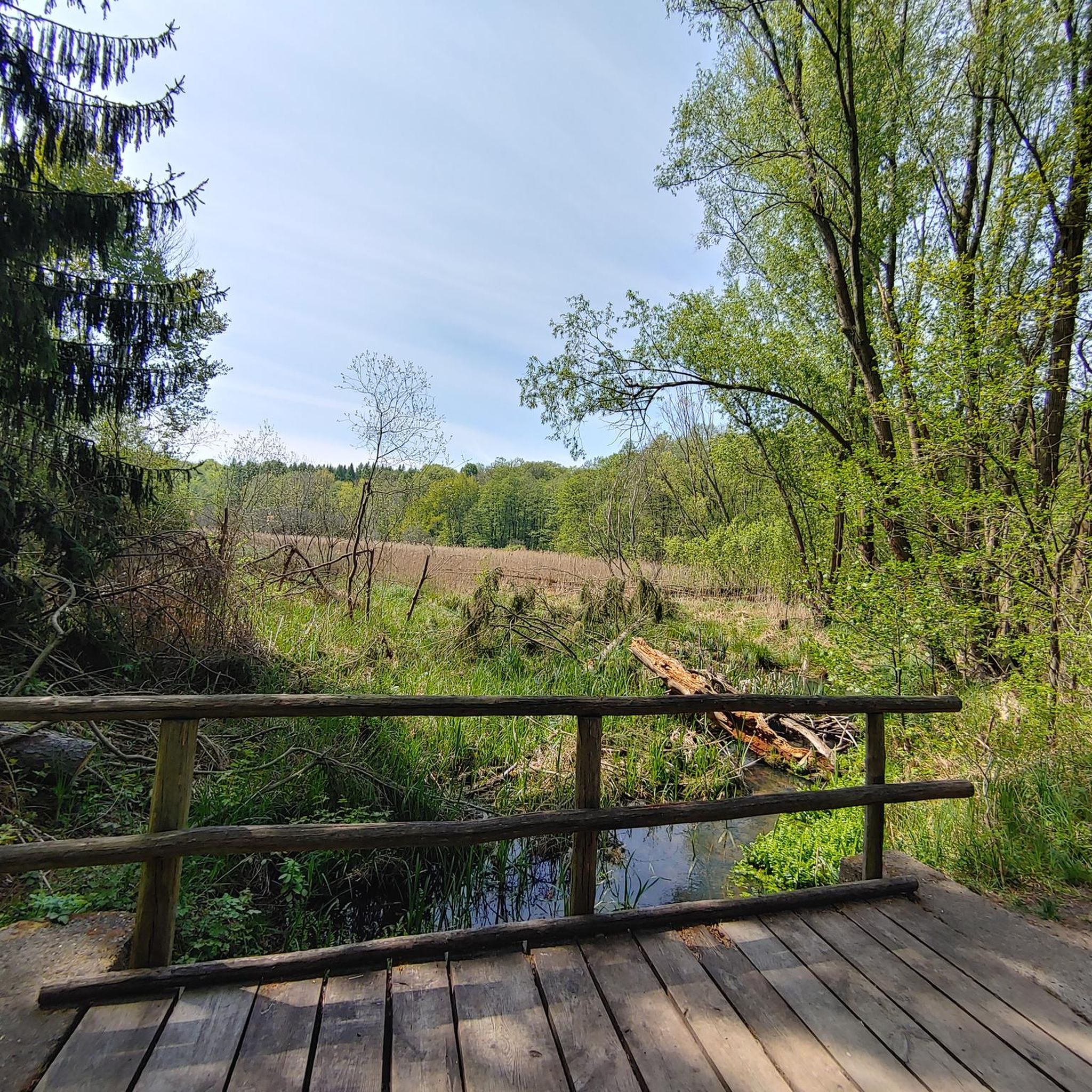
The paths are wide and perfect for families, as there are no cars to disturb you. As you glide along the car-free cycling and hiking trails, you can enjoy the view of the water - especially when the sky is cloudy, the lake has a very special atmosphere, almost mystical. The route is mostly asphalt, but there are also some gravel sections that provide some variety. These single-track paths add a certain challenge to the route without being really demanding. Ideal if you prefer to take it easy, but still don't want to just walk on smooth asphalt. If you want to take a break, the lake offers many corners to catch your breath and have a picnic. There is enough space on the banks to rest a bit and enjoy the surroundings to the fullest.
0
0

The waterwheel at Craigavon Lakes is a historical landmark. It was purchased by the council in the 70s from the south of the Province and refurbished to provide energy to the local people. The wheel never got into full swing because of the lack of waterflow, however, in recent years the wheel has been seen turning for the first time!
2
0
Craigavon Balancing Lakes, referred locally as 'The Lakes' are a set of man-made lakes built in the 1970s to control flooding. The route around the lakes is entirely flat and follows a mixture of paved and gravel paths close to the shoreline, which creates some wonderful water views as you jog along.
2
0

A pretty lake with a lovely path for cycling / walking around. The lake is also popular with anglers.
1
0
Similarly to a reservoir, these balancing lakes function as a water store. However, instead of storing the water for the purposes of consumption it is utilised to temporarily store flood waters. As the surrounding areas become more built up with hard surfaces, less rain excess water is stored by soil resulting in it routing quicker into the rivers. These balancing lakes help by reducing the volume of rain water reaching the rivers, which prevents flooding. And more importantly for cyclists it has the great byproduct of providing a pretty feature for MTB trails to be built around!
1
0

Craigavon Lakes with family friendly, traffic free, cycle and walking paths and even some single-track gravel paths.
0
0
Test your pumping, cornering and jumping skills on this short little pump track
1
0
Frequently Asked Questions
Are the hiking trails around Monbrief suitable for families with children?
Yes, the area is very family-friendly. Most trails are flat and accessible, especially those in local parks. For a great day out, consider the Pavilion in the Park loop from Lurgan, which is a short and easy walk. Tannaghmore Gardens is another excellent choice, offering gentle paths and a rare breeds animal farm.
Can I bring my dog on the trails?
Many trails in the region are suitable for dog walking, provided dogs are kept on a lead, especially in nature reserves and near livestock. The Fairy Glen in Rostrevor is a particularly popular spot for dog walkers, with paths along the river. Always check local signage for specific restrictions.
Are there any challenging hikes for experienced mountaineers?
The immediate trails around Monbrief and Craigavon are mostly easy and flat. For a significant challenge, you'll need to travel a bit further to the Ring of Gullion Area of Outstanding Natural Beauty. The hike to the summit of Slieve Gullion is a strenuous but rewarding climb, offering panoramic views from the highest point in County Armagh.
What are the best options for a circular walk?
The region has several excellent circular routes. The Craigavon Balancing Lakes loop from Craigavon is a popular, flat trail perfect for a leisurely walk. For a longer, more immersive experience, the 36-mile Ring of Gullion Way offers a multi-day circular trek through a designated Area of Outstanding Natural Beauty.
Where can I find the best scenic views?
For gentle, scenic views of lakes and parkland, the trails around the Craigavon Lakes are ideal. For the most dramatic, far-reaching vistas in the region, the summit of Slieve Gullion is unmatched. On a clear day, you can see across the Ring of Gullion, the Mourne Mountains, and the Cooley Peninsula.
How do I get to the trailheads and is parking available?
Most of the main parks and nature reserves, such as Oxford Island, Peatlands Park, and Gosford Forest Park, have dedicated car parks. For trails starting in towns like Lurgan or Portadown, you can use public car parks. Public transport via bus services connects the main towns, but access to more remote trailheads may require a car.
What kind of wildlife can I expect to see?
The area is rich in wildlife, especially around its wetlands. Oxford Island National Nature Reserve, on the shores of Lough Neagh, is a premier location for birdwatching, with hides overlooking reed beds and meadows. Peatlands Park also offers a unique habitat where you can observe various birds, insects, and rare plants from boardwalk trails.
Are there any trails with historical significance?
Yes, you can combine hiking with history. The Brownlow House – Pavilion in the Park loop from Lurgan takes you past the impressive Brownlow House, a historic 19th-century country manor. In the nearby city of Armagh, the Palace Demesne offers gentle walks through the grounds of a former archbishop's palace.
What do other hikers enjoy most about the Monbrief area?
The trails around Monbrief are highly regarded by the komoot community, with an average rating of over 4 stars. Hikers frequently praise the accessibility of the routes and the peaceful atmosphere of the lakeside and parkland paths, making it an ideal destination for relaxing walks.
Where can I find a good pub or cafe after a hike?
After exploring the trails around Lurgan Park, you'll find several cafes and pubs in Lurgan town centre. If you're visiting Oxford Island Nature Reserve, there is a cafe on-site which is a popular spot for visitors to relax with a coffee while enjoying views of Lough Neagh.
Are there any trails with waterfalls?
While the immediate area is not known for large waterfalls, The Fairy Glen near Rostrevor offers a beautiful walk along the Kilbroney River, with charming cascades and small waterfalls along the path. It's a highly-regarded walk, especially popular with families.
What are the trail conditions like?
Most of the popular trails, particularly around the Craigavon Lakes and in Lurgan Park, are paved or well-maintained gravel paths suitable for all footwear. Trails in nature reserves like Peatlands Park may include boardwalks over boggy ground. More remote countryside paths can be muddy after rain, so waterproof footwear is recommended.
Most popular routes around Monbrief
Most popular attractions around Monbrief

Get inspired with the komoot mobile app


Explore more
Browse the best Hikes in other regions.
