The best road cycling routes around Loch Trool
4.6
(5)
91
riders
10
rides
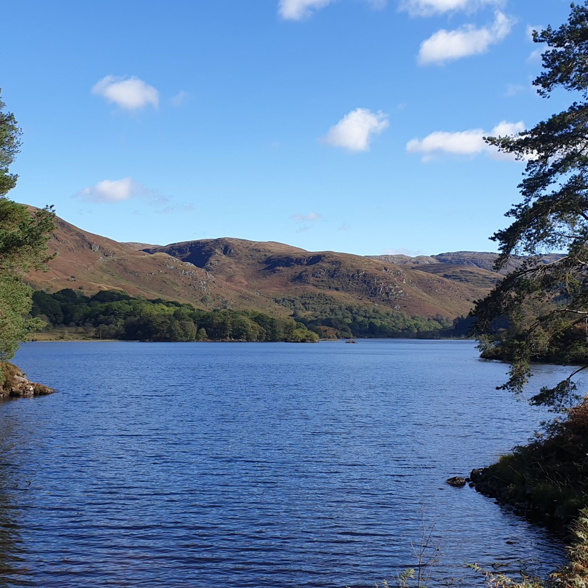
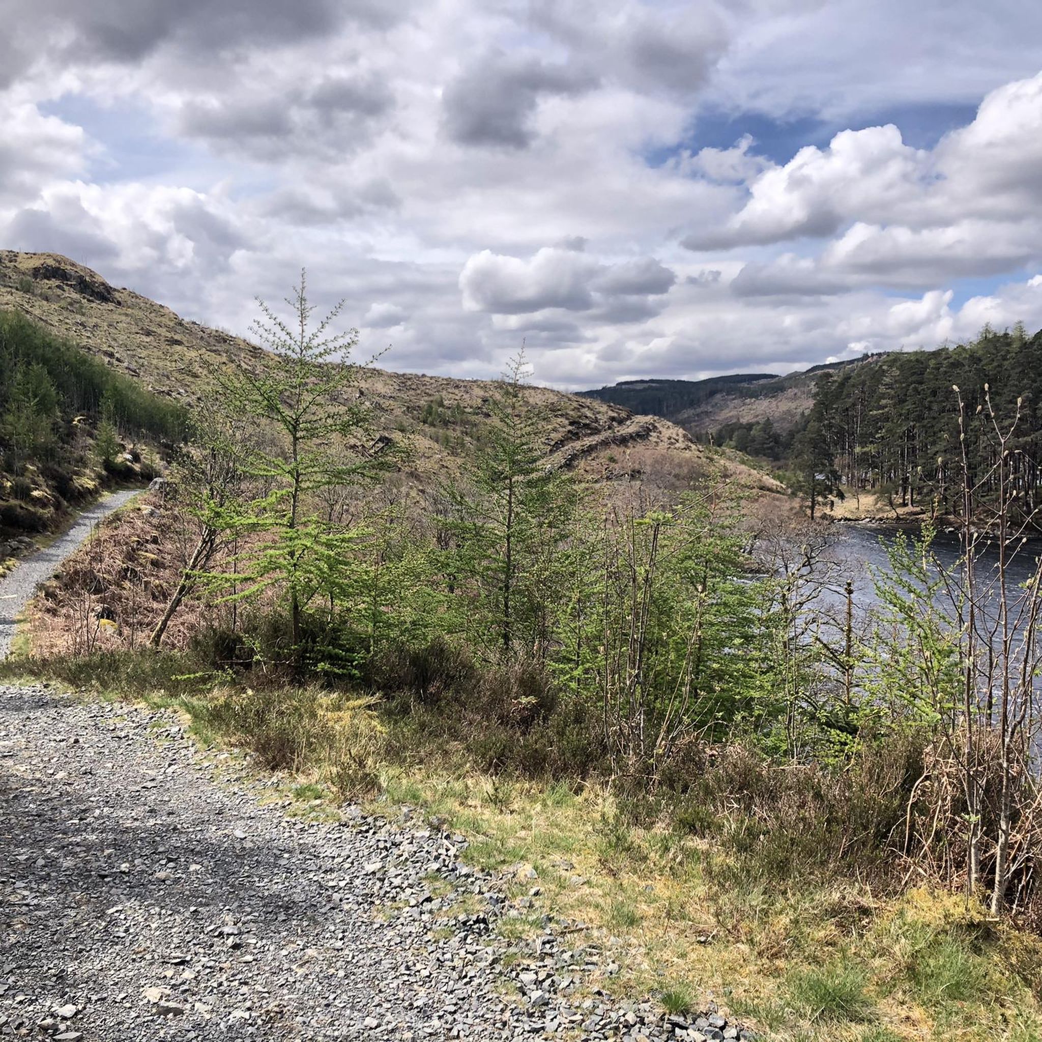
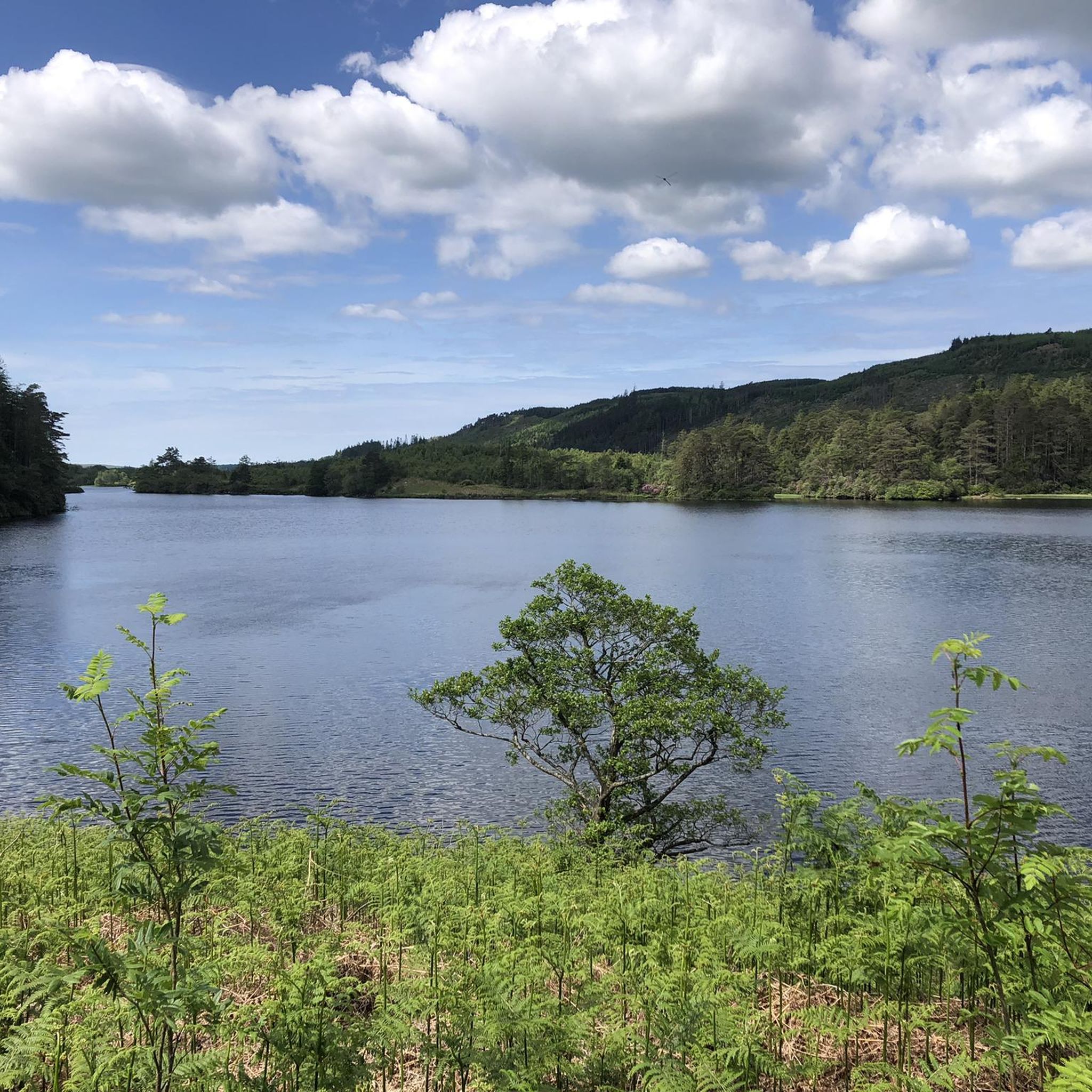
Road cycling around Loch Trool, situated within Galloway Forest Park, offers diverse landscapes shaped by glaciation. The region features dramatic glens, numerous lochs, and ancient woodlands, providing varied terrain for road cyclists. Routes often include a mix of paved and unpaved surfaces, with significant elevation changes in some areas. This area is characterized by its rugged scenery and extensive forest landscapes.
Best road cycling routes around Loch Trool
- The most popular road cycling route is Ayrshire Alps loop from Glentrool…
Last updated: July 15, 2026
4.0
(1)
34
riders
71.1km
03:29
980m
980m
Tackle the difficult 44.2-mile Ayrshire Alps loop from Glentrool Visitors Centre, featuring 3220 feet of climbing and stunning views.
4.5
(2)
4
riders
15.3km
02:37
180m
180m
Cycle the moderate Glentrool Big Country Ride, a 9.5-mile route through Galloway Forest Park with 599 feet of elevation gain.

Sign up for free
5.0
(1)
14
riders
60.7km
02:46
490m
490m
Moderate road ride. Good fitness required. Some segments of this route may be unpaved and difficult to ride.
7
riders
Moderate road ride. Good fitness required. Mostly well-paved surfaces and easy to ride.
3
riders
120km
05:55
1,190m
1,190m
Hard road ride. Very good fitness required. Mostly well-paved surfaces and easy to ride.
Get access to more routes and recommendations from other explorers.
Sign up for free
Already have an account?
Our route recommendations are based on thousands of hikes, rides, and runs completed by other people on komoot.
Start today with a free account
Your next adventure awaits.
Login or Signup

Tips from the Community

Watch out for the holes in the road and be ready for the wind! Great hill climb!
0
0

Put everything on the left
0
0


You can complete the 3 Lochs loop from here :)
0
0
This is such a gorgeous and quiet backroad. There's a few big potholes lurking
0
0
There's a get in point and a bench under the bridge of you fancy a dook or to sit and enjoy some food beside the river
0
0
Frequently Asked Questions
What kind of terrain can I expect when road cycling around Loch Trool?
Road cycling around Loch Trool offers a diverse landscape, characterized by rugged scenery, dramatic glens, and ancient woodlands. You'll encounter a mix of paved and unpaved surfaces on some routes, with significant elevation changes, especially on more challenging trails. The area is shaped by glaciation, providing varied and often hilly terrain.
Are there road cycling routes suitable for beginners or families in the Loch Trool area?
Yes, there are options for various fitness levels. While many routes feature elevation changes, you can find easier sections. For instance, the Glentrool Big Country Ride Cycle Route is a moderate 9.5-mile (15.3 km) trail that leads through ancient woodlands and lochside terrain, offering a less strenuous experience. Additionally, the NCR 7 provides an easy 14-mile (22km) route from Newton Stewart to Glentrool through the scenic Cree Valley.
Where can I find challenging road cycling routes with significant climbs near Loch Trool?
For experienced cyclists seeking a challenge, the region offers routes with substantial elevation gain. The Ayrshire Alps loop from Glentrool Visitors Centre is a difficult 44.2-mile (71.1 km) route with nearly 1000 meters of ascent. Another demanding option is the Rolling descent to Glentrool – Nic O'Balloch Climb loop from Glentrool Village, which spans almost 120 km and features over 1100 meters of climbing.
What natural features and viewpoints can I see along the road cycling routes?
The routes offer stunning natural beauty. You'll cycle through ancient woodlands, past numerous lochs, and alongside the Water of Trool. Keep an eye out for natural spectacles like the cascading Gairland Burn and the tumbling Buchan Waterfall along the northern shoreline of Loch Trool. Many routes provide grand views of the hills and the loch, with the View over Loch Trool from the Southern Upland Way being a notable viewpoint.
Are there any historical sites or points of interest to visit while cycling?
Yes, the area is rich in history. A significant landmark is Bruce's Stone, which overlooks Loch Trool and commemorates Robert the Bruce's victory. It's a key point of interest on several cycling routes and offers amazing views. You can also explore the Glen Trool Memorial and River Trail.
Where can I park my car when cycling around Loch Trool?
Glentrool Village and its Visitor Centre serve as common starting points for many routes and offer facilities, including parking. These locations are convenient for accessing the diverse network of trails in the area.
What do other road cyclists enjoy most about cycling in Loch Trool?
The area is highly rated by the komoot community, with an average score of 4.5 stars from 4 reviews. Cyclists often praise the rugged scenery, dramatic glens, and ancient woodlands that define the routes. The variety of terrain, from lochside paths to challenging climbs, is also a frequently enjoyed aspect.
Are there any circular road cycling routes around Loch Trool?
Yes, many of the routes in the area are designed as loops, allowing you to start and finish at the same point. For example, the Waterfall by the River Cree – Woods of Cree Waterfalls loop from Glentrool Village is a moderate 38.2-mile (61.4 km) path that takes you through diverse forest landscapes and past natural waterfalls.
What is the best time of year to go road cycling in Loch Trool?
The diverse terrain and natural beauty of Loch Trool can be enjoyed throughout much of the year. However, for the most pleasant conditions, late spring to early autumn (May to September) generally offers milder weather and longer daylight hours, making it ideal for exploring the routes and enjoying the scenic views.
Are there any cafes or pubs near the cycling routes for a break?
Glentrool Village, a common starting point for many routes, offers facilities for visitors, which typically include options for refreshments. While specific cafes or pubs aren't detailed in the route information, the village is a good place to look for a break during your ride.
How many road cycling routes are available in the Loch Trool area?
There are 10 road cycling routes available around Loch Trool, catering to various skill levels. This includes 2 easy routes, 6 moderate routes, and 2 difficult routes, ensuring options for every cyclist.
Most popular routes around Loch Trool
Most popular attractions around Loch Trool

Get inspired with the komoot mobile app


Explore more
Browse the best Road cycling routes in other regions.
