The best road cycling routes around Rathdrumgran
4.0
(2)
715
riders
159
rides
Road cycling around Rathdrumgran offers routes through a predominantly rural landscape, characterized by agricultural areas and gentle undulations. The region features a network of roads connecting small villages and historical sites like Gosford Castle. Views of Lough Neagh are accessible from some routes, providing a mix of open scenery and established pathways. The terrain is generally suitable for road cycling, with moderate elevation changes.
Best road cycling routes around Rathdrumgran
- The most popular road cycling route is Gosford Castle –…
Last updated: July 20, 2026
19
riders
43.6km
01:47
250m
250m
Easy road ride. Great for any fitness level. Mostly well-paved surfaces and easy to ride.
19
riders
50.3km
02:13
510m
510m
Moderate road ride. Good fitness required. Mostly well-paved surfaces and easy to ride.

Sign up for free
12
riders
67.8km
03:02
730m
730m
Moderate road ride. Good fitness required. Mostly well-paved surfaces and easy to ride.
12
riders
63.4km
02:46
510m
510m
Moderate road ride. Good fitness required. Mostly well-paved surfaces and easy to ride.
5
riders
40.2km
01:50
420m
410m
Moderate road ride. Good fitness required. Mostly well-paved surfaces and easy to ride.
Get access to more routes and recommendations from other explorers.
Sign up for free
Already have an account?
Our route recommendations are based on thousands of hikes, rides, and runs completed by other people on komoot.
Start today with a free account
Your next adventure awaits.
Login or Signup

Tips from the Community

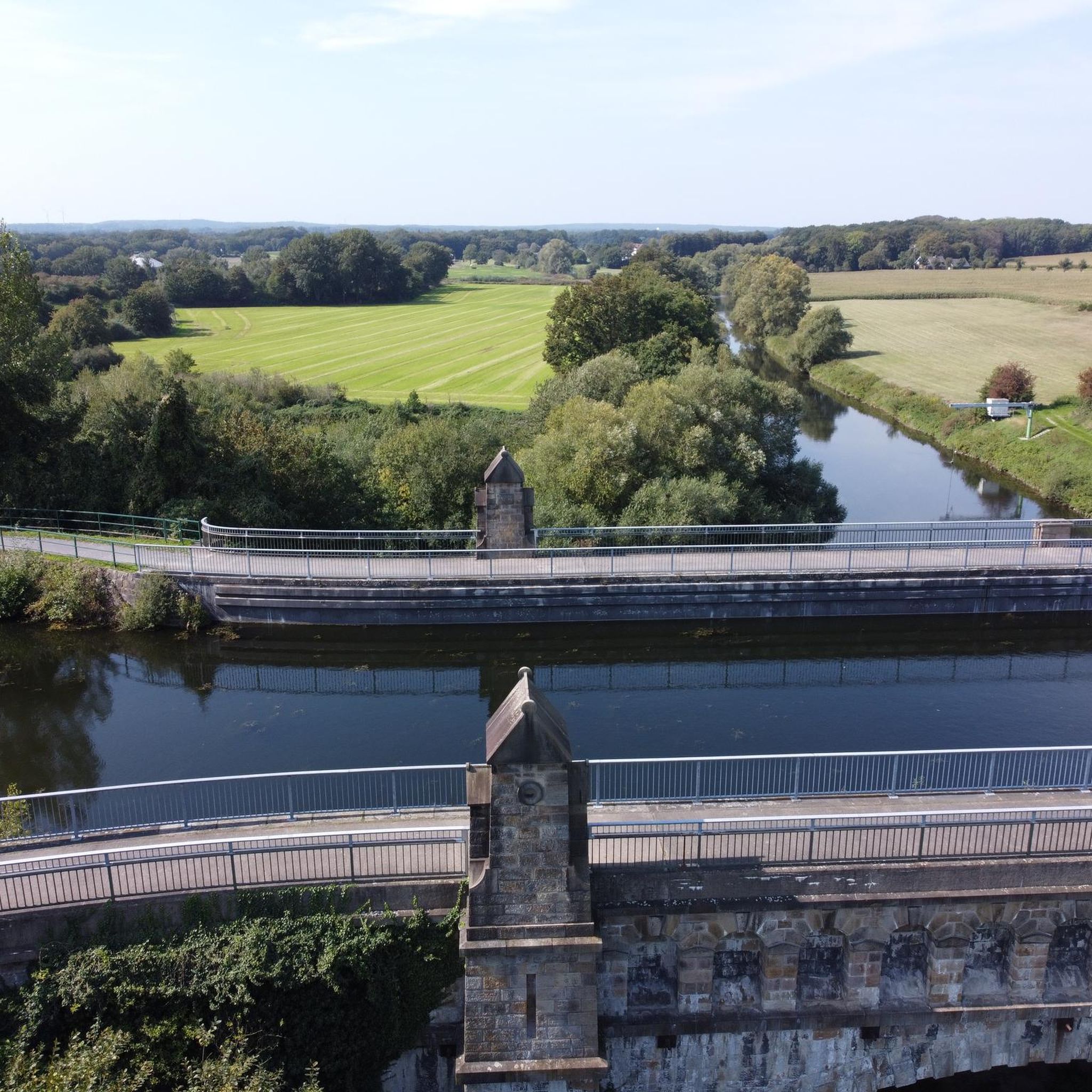
Quiet canal section south of Poyntzpass, where the towpath runs tightly along the narrow water. The bank is lightly overgrown with low trees and hedges, giving the stretch an intimate, green impression. The water is mostly still, forming a straight line through the open agricultural landscape. An even, traffic-free segment ideal for quiet miles on the towpath.
5
0

Nice little cafe in the village of Scarva right alongside the Newry canal towpath, great for brekkie, lunch or just topping up the hydration.
1
0

Hollie Berrie is a good place for refreshments on the route at Scarva
0
1

The small town of Scarva, nestled between green meadows and the quiet canal, offers a welcome break on my bike tour through Northern Ireland. Here you cycle on well-maintained paths past historic bridges and small villages that give you the feeling that time has stood still. The British flags fluttering along the side of the road remind you that you are in a culturally special area - a detail that reflects the identity of the region. The route is easy to cycle, the surrounding landscape is gently rolling, which makes for pleasant cycling. The view of wide fields and rolling hills invites you to slow down now and then and take in the peace and quiet. A special feature of Scarva is the annual Orange Order March, which transforms the village into a kind of open-air stage once a year and keeps the traditions of this region alive.
1
0
The Craigmore Viaduct is an impressive structure, with its 18 arches spanning the Camlough River Valley, dominating the landscape of south Armagh. As I cycled along the gently curving roads, the viaduct suddenly appeared on the horizon - a massive but elegant sight. The tall stone arches seem to effortlessly support the train traffic that runs between Dublin and Belfast. I stopped for a moment to take a closer look at the structure. It is fascinating to know that this structure has been standing here since 1852, designed by Irish engineer John Benjamin Macneill. The highest arch rises 126 feet, and standing under it you can really appreciate the scale and importance of this structure to the region. The surroundings are just perfect for putting your bike down and taking some time to look at the view. Perhaps a small lookout point with information about the history of the viaduct would be a nice addition, but even without it it is a worthwhile stop along the way. We continue, but the image of the arches remains in our minds.
2
0

The bridge was designed by John Benjamin Macneill, an eminent Irish civil engineer, with construction beginning in 1849 and the viaduct formally opening in 1852. The highest of the arches is 126ft, making Craigmore the highest viaduct in Ireland. It is around a quarter of a mile long and is a prominent feature in the south Armagh landscape, visible for instance, from much of the surrounding upland.
1
0
Scarva (from Irish: Scarbhach meaning "shallow place, rough ford" is a small village in the parish of Aghaderg, County Down, Scarva is known as the location of the "Sham Fight" Pageant on 13 July every year. The Pageant attracts thousands of members of the Royal Black Preceptory, who come to act out a symbolic dramatised re-enactment of the Battle of the Boyne.
2
0
Frequently Asked Questions
How many road cycling routes are available around Rathdrumgran?
Rathdrumgran offers a wide selection of road cycling routes, with over 160 tours available on komoot. These routes cater to various skill levels, from easy rides to more challenging excursions.
What are the typical difficulty levels for road cycling routes in Rathdrumgran?
The road cycling routes around Rathdrumgran primarily feature moderate difficulty, with 125 such tours. There are also 34 easy routes suitable for beginners and 5 more difficult options for experienced cyclists seeking a challenge.
Are there any road cycling routes suitable for beginners or families in Rathdrumgran?
Yes, Rathdrumgran has 34 easy road cycling routes that are well-suited for beginners or families looking for a more relaxed ride. These routes typically feature gentler terrain and shorter distances.
What kind of scenery can I expect on road cycling routes in Rathdrumgran?
Road cycling in Rathdrumgran takes you through a predominantly rural landscape, characterized by agricultural areas and gentle undulations. Many routes offer expansive views of Lough Neagh, and you'll pass through small villages and near historical sites like Gosford Castle. For example, the View of Lough Neagh loop from Richhill provides excellent lake vistas.
Are there any circular road cycling routes in Rathdrumgran?
Yes, many of the road cycling routes around Rathdrumgran are designed as loops, allowing you to start and finish at the same point. A popular example is the Gosford Castle – Scarva Village loop from Richhill, which offers varied scenery on a circular path.
What are some notable landmarks or attractions I can see along the road cycling routes?
Road cycling routes in Rathdrumgran often pass by interesting landmarks. You can explore historical sites like Gosford Castle, or enjoy natural features such as the Cusher River and the Clare Glen Stone Bridges. Some routes also offer glimpses of the Red Deer Enclosure in Gosford Forest Park.
What is the best time of year for road cycling in Rathdrumgran?
The best time for road cycling in Rathdrumgran is generally during the milder months, from spring through early autumn. During this period, the weather is more predictable, and the rural landscapes are at their most vibrant. Always check local weather forecasts before heading out.
What do other road cyclists say about the routes in Rathdrumgran?
The road cycling routes in Rathdrumgran are highly rated by the komoot community, with an average score of 4.5 stars. Cyclists often praise the quiet rural roads, the scenic views of Lough Neagh, and the variety of routes connecting charming villages and historical sites.
Are there any longer road cycling routes for endurance training?
Yes, for those seeking longer rides, Rathdrumgran offers routes such as the Lottie's Café – Scarva Village loop from Richhill, which spans nearly 80 kilometers. These longer routes provide ample distance for endurance training while still showcasing the region's rural beauty.
What are the typical distances of road cycling routes in Rathdrumgran?
Road cycling routes in Rathdrumgran vary in distance, catering to different preferences. You can find routes ranging from shorter, easier rides to longer excursions. For example, the The Barn Pantry – Gosford Castle loop from Richhill is around 37 kilometers, while others extend up to 79 kilometers.
Are there any routes that pass through agricultural areas?
Many road cycling routes in Rathdrumgran traverse agricultural areas, offering a quintessential rural experience. The Chicken Fillet Shop – Fruitfield Factory loop from Richhill is a good example, leading you through these characteristic landscapes.
Most popular routes around Rathdrumgran
Most popular attractions around Rathdrumgran

Get inspired with the komoot mobile app


Explore more
Browse the best Road cycling routes in other regions.
