The best running trails around Embalse de Río Sequillo
5.0
(1)
292
runners
23
runs
Jogging around Embalse de Río Sequillo offers a diverse environment within the Sierra de Guadarrama, featuring notable landscapes and natural features. The region is characterized by mountainous surroundings, the Lozoya River, and a network of trails that traverse ash trees, maples, and various streams. These routes provide a natural setting for running, with options ranging from comfortable paths around the reservoir to more challenging trails in the surrounding hills.
Best jogging routes around Embalse de Río Sequillo
- The most popular…
Last updated: June 28, 2026
11
runners
13.9km
01:40
180m
180m
Moderate run. Good fitness required. Mostly paved surfaces. Suitable for all skill levels.
4
runners
8.39km
00:58
120m
120m
Moderate run. Good fitness required. Mostly paved surfaces. Suitable for all skill levels.

Sign up for free
7
runners
Moderate run. Good fitness required. Mostly paved surfaces. Suitable for all skill levels.
3
runners
9.42km
01:00
140m
140m
Moderate run. Good fitness required. Mostly paved surfaces. Suitable for all skill levels.
8
runners
11.4km
01:15
150m
150m
Moderate run. Good fitness required. Mostly paved surfaces. Suitable for all skill levels.
Get access to more routes and recommendations from other explorers.
Sign up for free
Already have an account?
Our route recommendations are based on thousands of hikes, rides, and runs completed by other people on komoot.
Start today with a free account
Your next adventure awaits.
Login or Signup

Tips from the Community

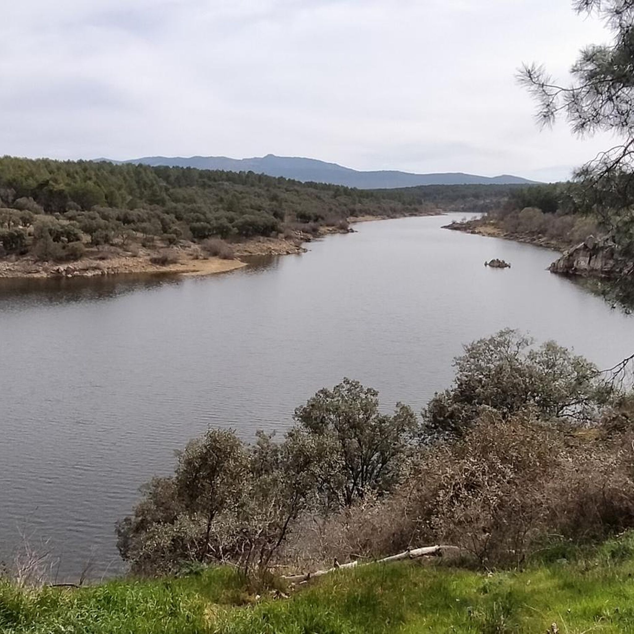
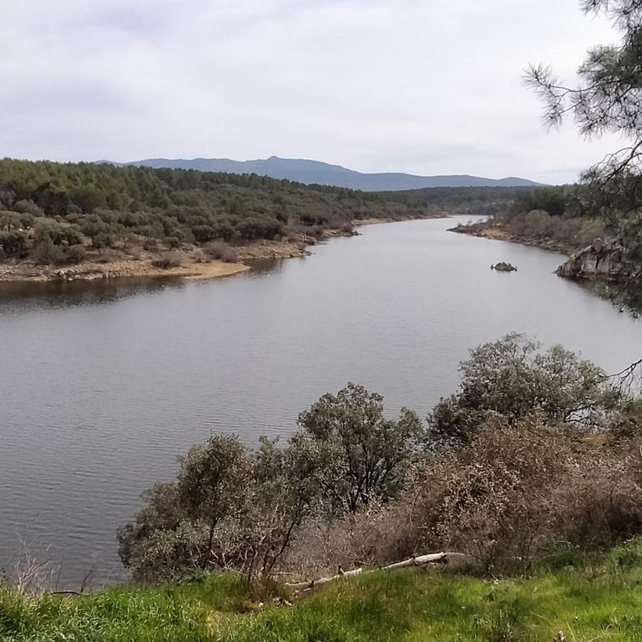
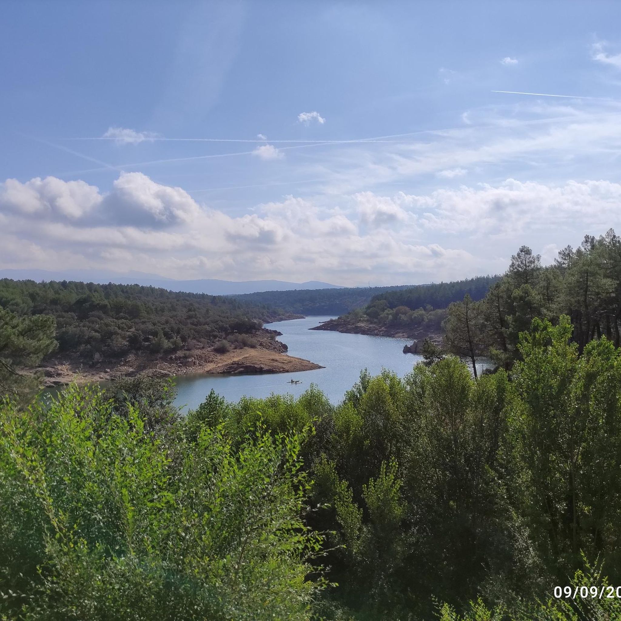
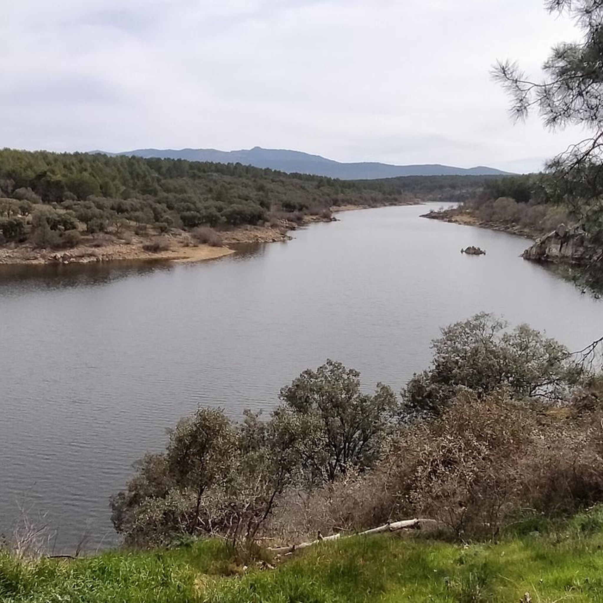
Beautiful viewpoint of the Pinilla reservoir
0
0
Viewpoint with wonderful views
0
0

nice easy route, to repeat!
0
0

beautiful walking area with beautiful views
0
0

Wonderful views and surroundings
0
0
The Senda de las Gariñas is a circular path 6.5 km long. The route crosses part of the forest mass known as the Gariñas forest and reaches the Puentes Viejas reservoir, where we find the riverside landscape. The forest is made up mostly of resin pine, although as we approach the banks of the reservoir we also find ash trees and Montpellier maples.
0
0

The Pinilla reservoir is located in the upper reaches of the Lozoya River, in the north of the Community of Madrid (Spain). Located in the heart of the Sierra de Guadarrama, it has been the head reservoir of the basin since the moment it was inaugurated in 1967. It is part of the Canal de Isabel II network, a company that supplies drinking water to the capital of Spain and a good part of of the Community of Madrid.
0
0
Forest mass known as the Gariñas forest and reaches the Puentes Viejas reservoir, where we find the riverside landscape. The forest is made up mostly of resin pine, although as we approach the banks of the reservoir we also find ash trees and Montpellier maples.
0
0
Frequently Asked Questions
How many running routes are available around Embalse de Río Sequillo?
There are over 25 dedicated running routes around Embalse de Río Sequillo, catering to various fitness levels. These include 1 easy route, 15 moderate routes, and 12 challenging trails, ensuring a diverse experience for all runners.
Are there any easy or beginner-friendly jogging routes in the area?
Yes, while many routes are moderate, there is at least one easy running route available. The area generally offers comfortable paths, especially around the reservoir, making it suitable for beginners or those looking for a relaxed run.
Can I find circular running routes around Embalse de Río Sequillo?
Absolutely. Many of the trails are circular, offering convenient starting and ending points. For example, the Gariñas Forest loop from Buitrago del Lozoya is a popular moderate circular route, covering nearly 14 km through scenic forest landscapes.
What kind of terrain and elevation can I expect on the running trails?
The terrain around Embalse de Río Sequillo is quite varied. You'll find relatively flat paths around the reservoir itself, but also more challenging sections with moderate elevation changes as you venture into the surrounding Sierra de Guadarrama. Routes like the Mirador de Buitrago – Palacio del Bosque loop from Buitrago del Lozoya feature over 150 meters of elevation gain, offering a good workout.
Are there any notable natural features or landmarks to see while running?
Yes, the area is rich in natural beauty. You can enjoy panoramic views of the Lozoya Valley and distant peaks of Somosierra. The reservoir itself, fed by the Lozoya River, is a central feature. You might also encounter various streams like Arroyo de Santa Ana and Arroyo de Saúca. For impressive views, consider the Pinilla Reservoir Viewpoint – View of Lozoya Reservoir loop from El Tomillar.
Is Embalse de Río Sequillo suitable for family jogging or running with children?
The recreational complex at Embalse de Riosequillo is very family-friendly, featuring parks and picnic areas. While specific 'family jogging' routes aren't highlighted, the easier and shorter circular paths around the reservoir, which are comfortable to traverse, would be suitable for families with children who enjoy running or walking.
What is the best time of year to go running in this region?
The region offers pleasant conditions for running for much of the year. Spring and autumn provide mild temperatures and vibrant scenery. Summer mornings and evenings are also popular, though it can get warm during midday. Winter running is possible, but be prepared for cooler temperatures and potentially some frost, especially at higher elevations.
Where can I park my car when visiting the running trails?
Parking is generally available, especially near the main recreational areas and starting points of popular routes. For instance, routes originating from towns like Buitrago del Lozoya or near Camping Monte Holiday often have accessible parking options for runners.
Are there any running routes that start from popular local spots or campsites?
Yes, some routes are conveniently located near local amenities. The Running loop from Camping Monte Holiday is a great example, offering a moderate 8.4 km path directly from a popular local campsite, making it easy to access for visitors staying there.
What do other runners say about the trails around Embalse de Río Sequillo?
The area is highly rated by the komoot community, with an average score of 4.0 stars. Reviewers often praise the diverse environment, the stunning views of the Lozoya Valley, and the variety of trails that cater to different abilities, from comfortable paths to more challenging runs through woodlands.
Can I reach the running trails using public transport from Madrid?
Yes, public transport options are available to reach the vicinity of Embalse de Río Sequillo from Madrid. Buses connect Madrid with towns like Buitrago del Lozoya, Gargantilla de Lozoya, and Pinilla de Buitrago, which serve as starting points for many of the running routes. From these towns, you can access various trails, such as the Running loop from Gargantilla del Lozoya y Pinilla de Buitrago.
Are there any facilities like cafes or restaurants near the running routes?
While the immediate reservoir area is natural, the nearby towns of Gargantilla de Lozoya, Pinilla de Buitrago, and Buitrago del Lozoya offer various facilities including cafes, restaurants, and accommodation options where you can refuel or relax after your run.
Most popular routes around Embalse de Río Sequillo

Get inspired with the komoot mobile app


Explore more
Browse the best Running Trails & Routes in other regions.
