The best walks and hikes around Embalse González-Lacasa
4.5
(18)
164
hikers
22
hikes
Hiking around Embalse González-Lacasa, situated at an altitude of 1,000 meters in the Sierra de Cameros, offers diverse landscapes for outdoor activities. The region is characterized by extensive pine forests, "green mountains" such as Mojón Alto, and the clean waters of the reservoir itself. Trails often feature rebollo oak and gall oak groves, contributing to varied natural scenery. The area provides a blend of reservoir views, forested paths, and mountain ascents.
Best hiking trails around Embalse González-Lacasa
- The most popular…
Last updated: July 7, 2026
18.6km
05:15
390m
390m
Hard hike. Very good fitness required. Easily-accessible paths. Suitable for all skill levels.
4.3
(3)
17
hikers
7.49km
02:11
210m
210m
Moderate hike. Good fitness required. Easily-accessible paths. Suitable for all skill levels.

Sign up for free
3
hikers
10.1km
02:51
210m
210m
Moderate hike. Good fitness required. Easily-accessible paths. Suitable for all skill levels.
3
hikers
9.37km
02:38
190m
190m
Moderate hike. Good fitness required. Easily-accessible paths. Suitable for all skill levels.
3
hikers
7.27km
02:05
170m
170m
Moderate hike. Good fitness required. Easily-accessible paths. Suitable for all skill levels.
Get access to more routes and recommendations from other explorers.
Sign up for free
Already have an account?
Our route recommendations are based on thousands of hikes, rides, and runs completed by other people on komoot.
Start today with a free account
Your next adventure awaits.
Login or Signup
Tips from the Community

One of the most beautiful mountain villages in the Cameros region. Filled with stone houses, it is located on the slopes of a natural canyon, the Encinedo massif. This ravine was formed through a karstic process that gave rise to several chasms and caves. Two of them can be visited, the one in La Paz and the one in La Villa.
1
0

Singular tree of the CCAA, quite deteriorated but enduring the passing of the years.
1
0
Important town of the region of Cameros.
1
0
Natural soccer field, on the esplanade under the entrance to the caves.
2
0
Iron bridge, access to the famous caves of Ortigosa
2
0
Hermitage at the entrance to the town of Ortigosa, next to the iron bridge.
1
0

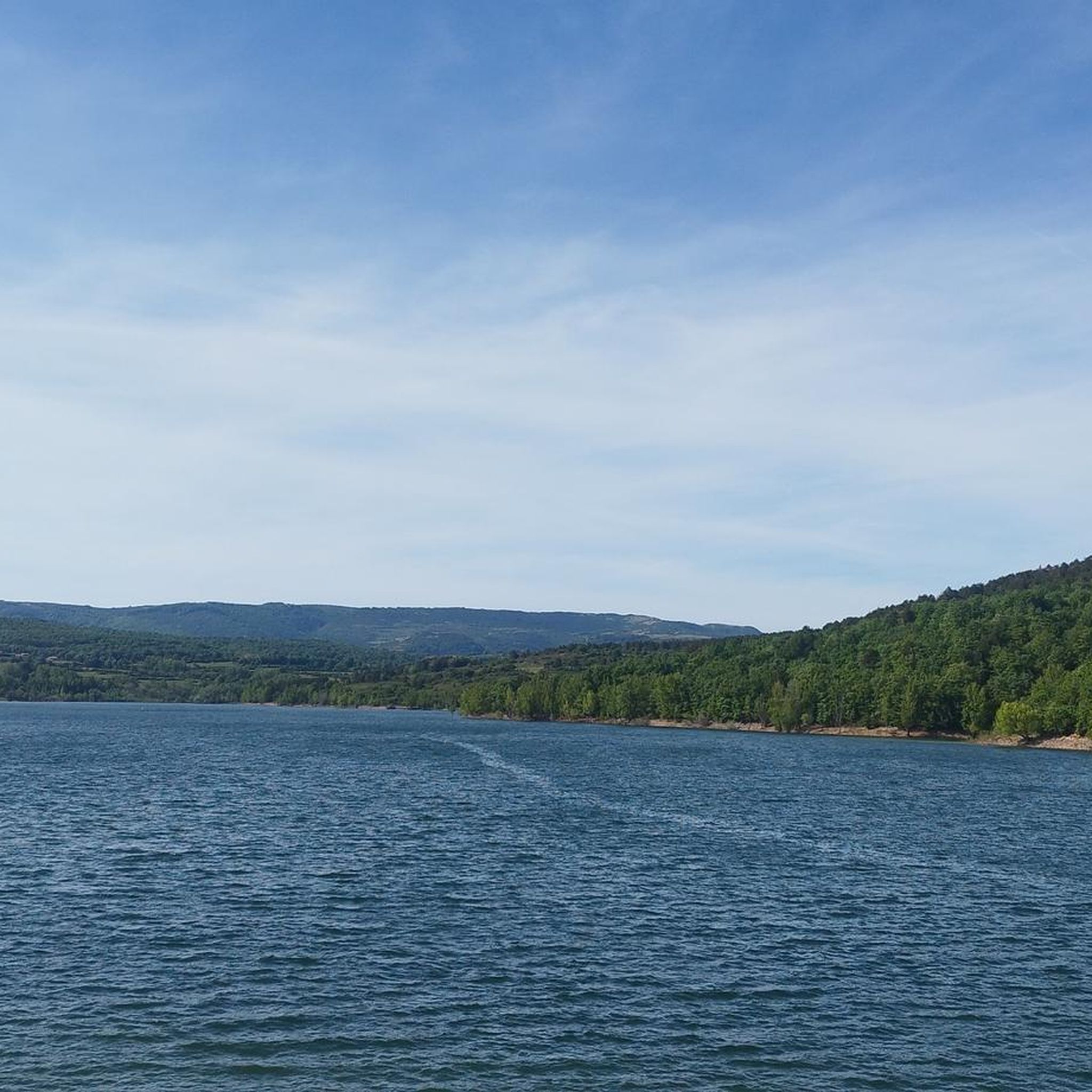
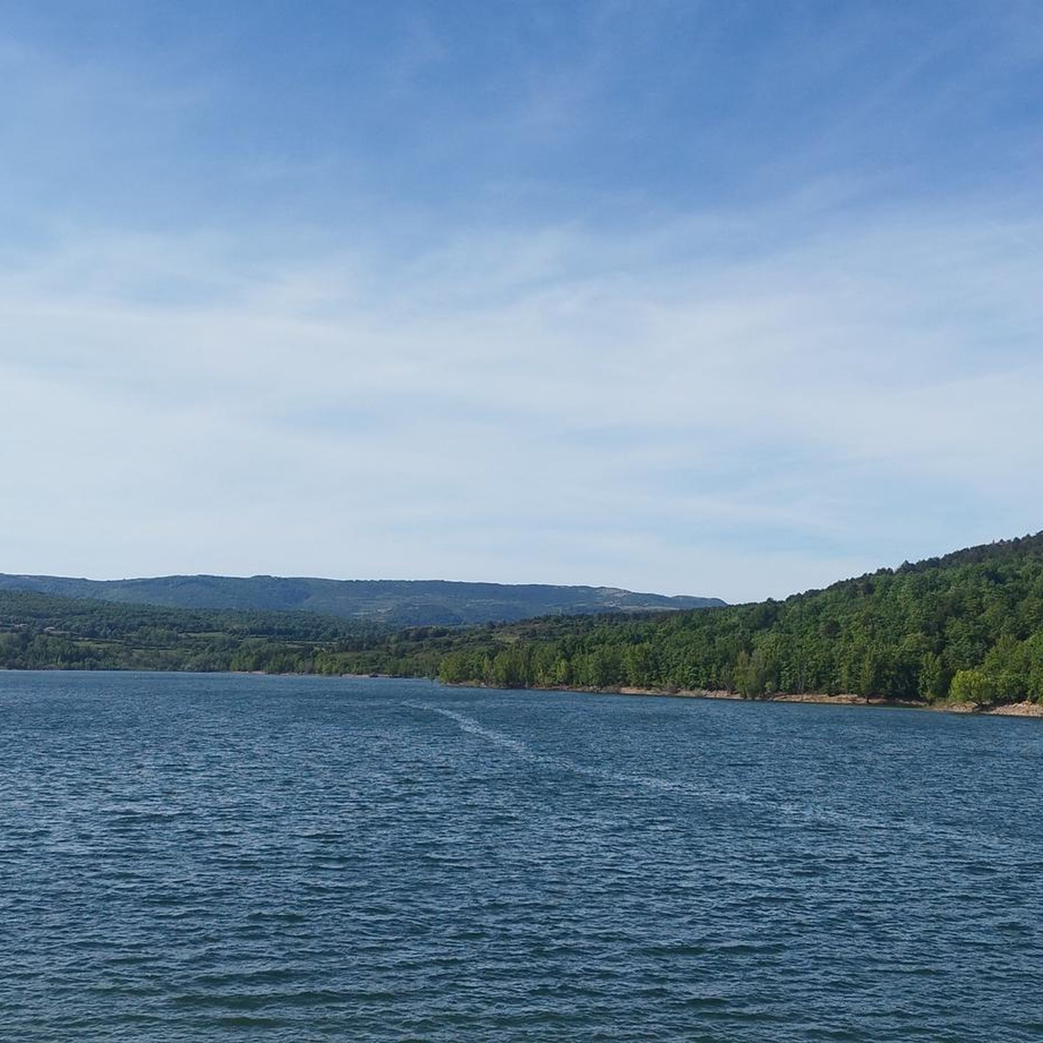
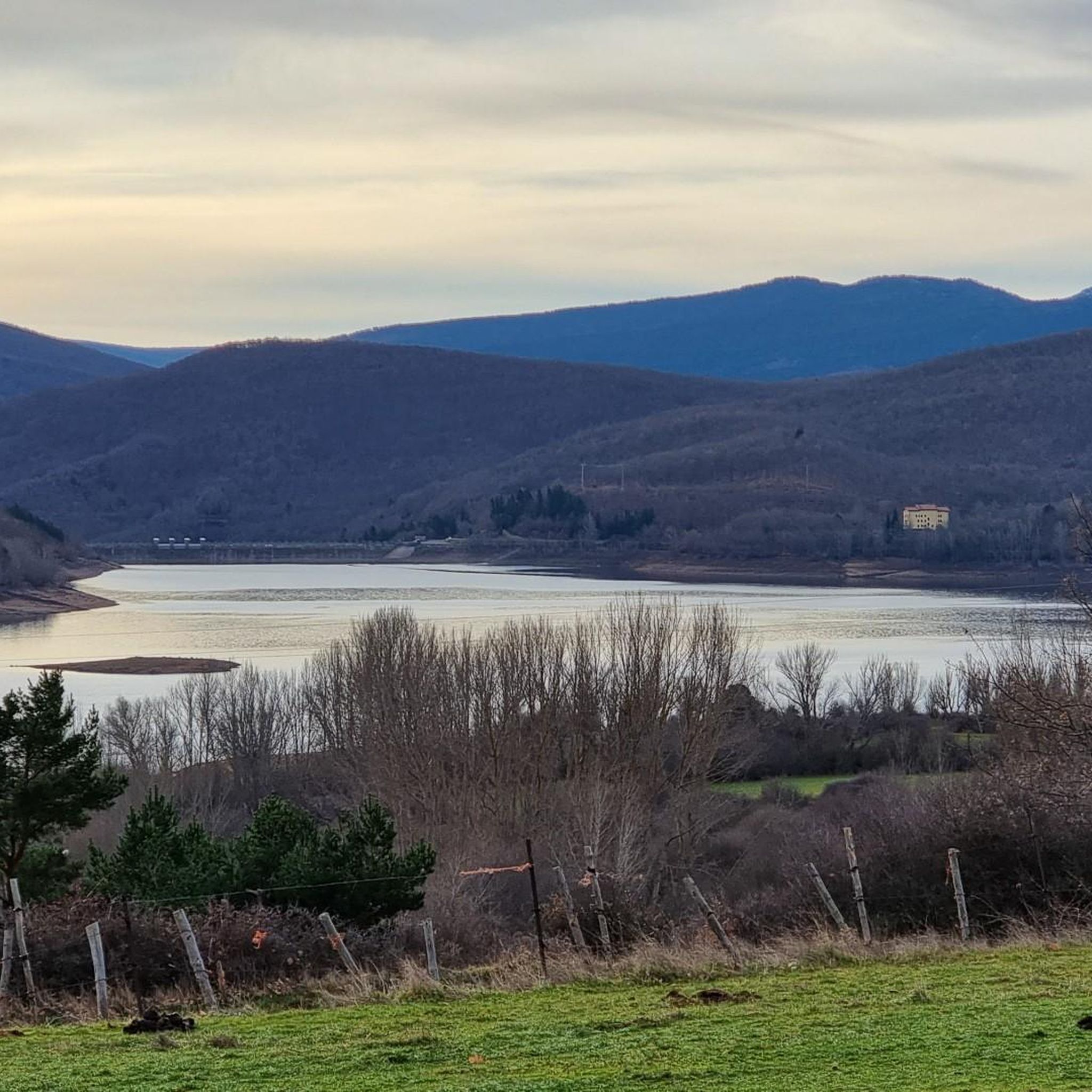
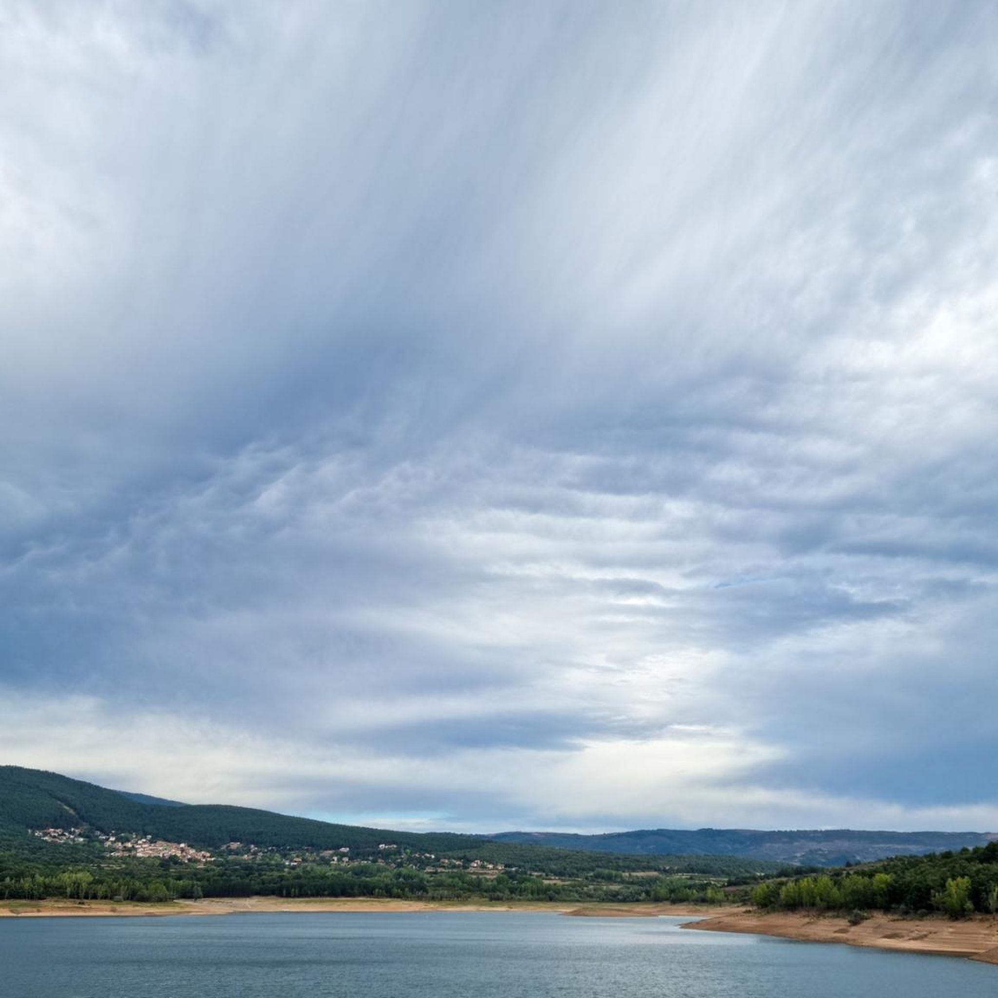
Known as Pantano de Ortigosa or Embalse de González-Lacasa, the dam is located between the towns of Ortigosa de Cameros, El Rasillo and Peñaloscintos, in Camero Nuevo. The reservoir is located on the Alberco river, although its waters come from the Iregua river, where the water is transferred through an underground channel from downstream of Villoslada.
3
0

In the Cameros region, this reservoir is a great source of resources. Beautiful place with good views and the possibility of bathing, sunbathing, eating and having a drink.
1
0
Frequently Asked Questions
How many hiking trails are available around Embalse González-Lacasa?
There are 14 hiking trails around Embalse González-Lacasa. These routes vary in difficulty, offering options for different experience levels, from easy walks to more challenging mountain ascents.
What types of landscapes and natural features will I encounter on the hikes?
The trails around Embalse González-Lacasa traverse diverse landscapes, including extensive pine forests, rebollo and gall oak groves, and valuable kermes oak areas. You'll also experience stunning views of the clean, deep waters of the reservoir itself, surrounded by 'green mountains' like Mojón Alto and San Cristóbal.
Are there any easy hiking routes suitable for families or beginners?
Yes, there are 3 easy hiking routes. A good option is the Olmo de El Rasillo – Ortigosa Iron Bridge loop from El Rasillo de Cameros, which is approximately 5.9 km long and offers a gentle introduction to the area's beauty.
Are there circular hiking routes around the reservoir?
Yes, many routes are circular. For a moderate option, consider the González Lacasa Reservoir loop from Peñaloscintos, which covers about 10.1 km. For a more challenging experience, the González Lacasa Reservoir Loop is an 18.6 km trail offering expansive reservoir and mountain views.
What are some interesting landmarks or points of interest to see while hiking?
Beyond the natural beauty, you can explore several points of interest. These include the ancient Olmo de El Rasillo, the charming town of Ortigosa de Cameros, and the historic Puente Ra. The Ermita de San Mamés in El Rasillo, a Romanesque hermitage, also offers a cultural stop.
Can I bring my dog on the hiking trails?
Generally, dogs are welcome on hiking trails in the region. However, it's always advisable to keep them on a leash, especially in areas with wildlife or near livestock, and to check for any specific local regulations or protected areas that might have restrictions.
What is the best time of year to hike around Embalse González-Lacasa?
Spring and autumn are particularly pleasant for hiking, with mild temperatures and vibrant natural colors. Spring brings blooming flora, while autumn offers stunning fall foliage. These seasons are also known for micology, with permits available for mushroom gathering. Summer is also popular, especially for combining hikes with water activities.
Are there opportunities for water activities or swimming in the reservoir?
Yes, the Embalse González-Lacasa is a popular spot for water activities. The Club Náutico El Rasillo offers aquatic sports such as pedal boating, canoeing, SUP, windsurfing, and light sailing. There are also designated areas for swimming and fishing.
What do other hikers say about the trails in Embalse González-Lacasa?
The trails in Embalse González-Lacasa are highly rated by the komoot community, with an average score of 4.6 stars from over 10 reviews. Hikers often praise the varied terrain, the beautiful reservoir views, and the peaceful atmosphere of the pine and oak forests.
Are there any longer or more challenging routes for experienced hikers?
Yes, there are 3 difficult routes for experienced hikers. The González Lacasa Reservoir Loop is a challenging 18.6 km trail with an elevation gain of 391 meters, offering extensive reservoir and mountain views, typically taking over 5 hours to complete.
Is public transport available to reach the trailheads?
While specific public transport routes directly to all trailheads might be limited, the region is accessible. It's recommended to check local bus schedules for connections to towns like El Rasillo de Cameros or Ortigosa de Cameros, which serve as starting points for many routes.
Is parking available near the hiking trails?
Yes, parking is generally available in the towns and villages surrounding the reservoir, such as El Rasillo de Cameros and Peñaloscintos, which are common starting points for many hiking routes. Look for designated parking areas near trailheads.
Most popular routes around Embalse González-Lacasa

Get inspired with the komoot mobile app


Explore more
Browse the best Hikes in other regions.
