The best running trails around Eugi Urtegia
133
runners
5
runs
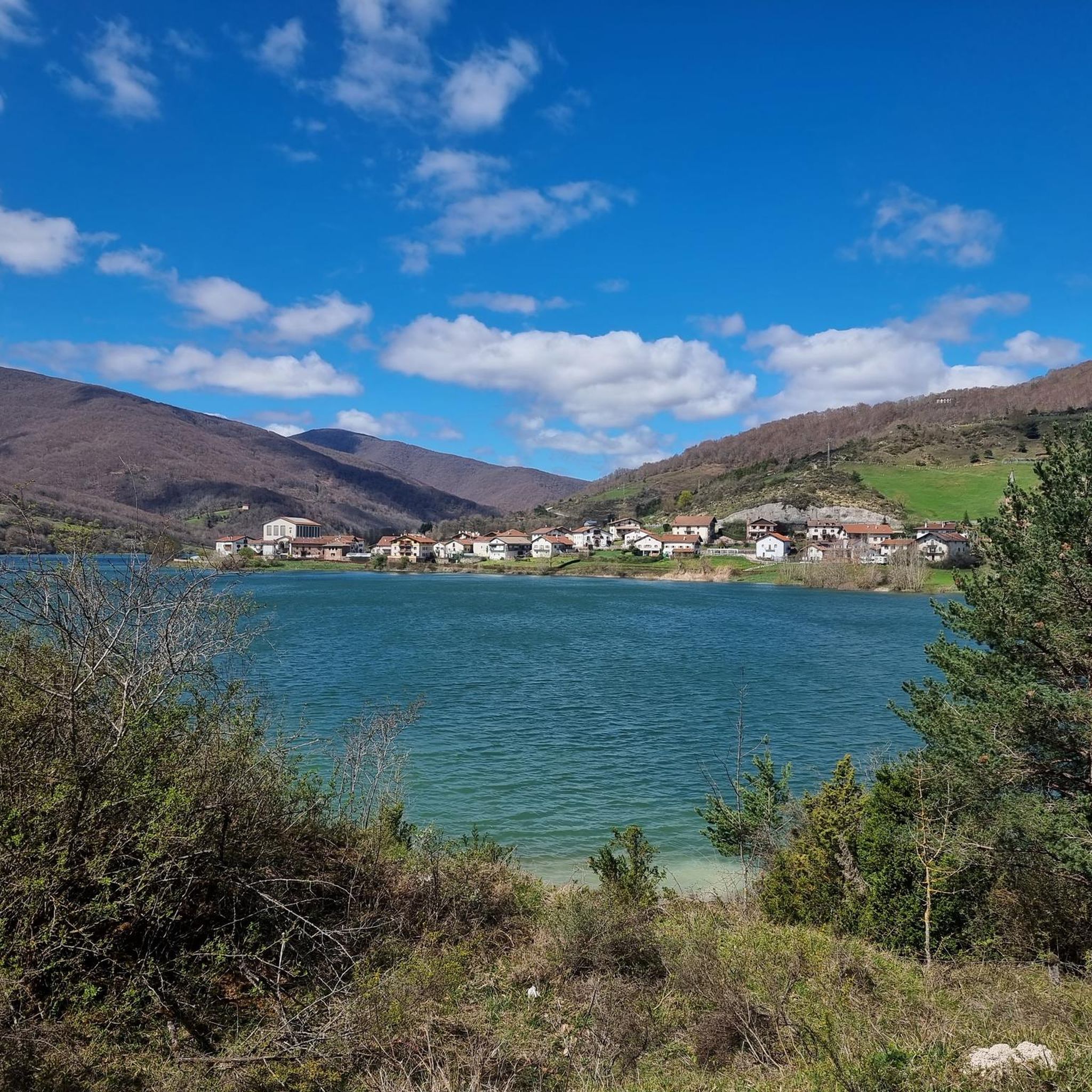
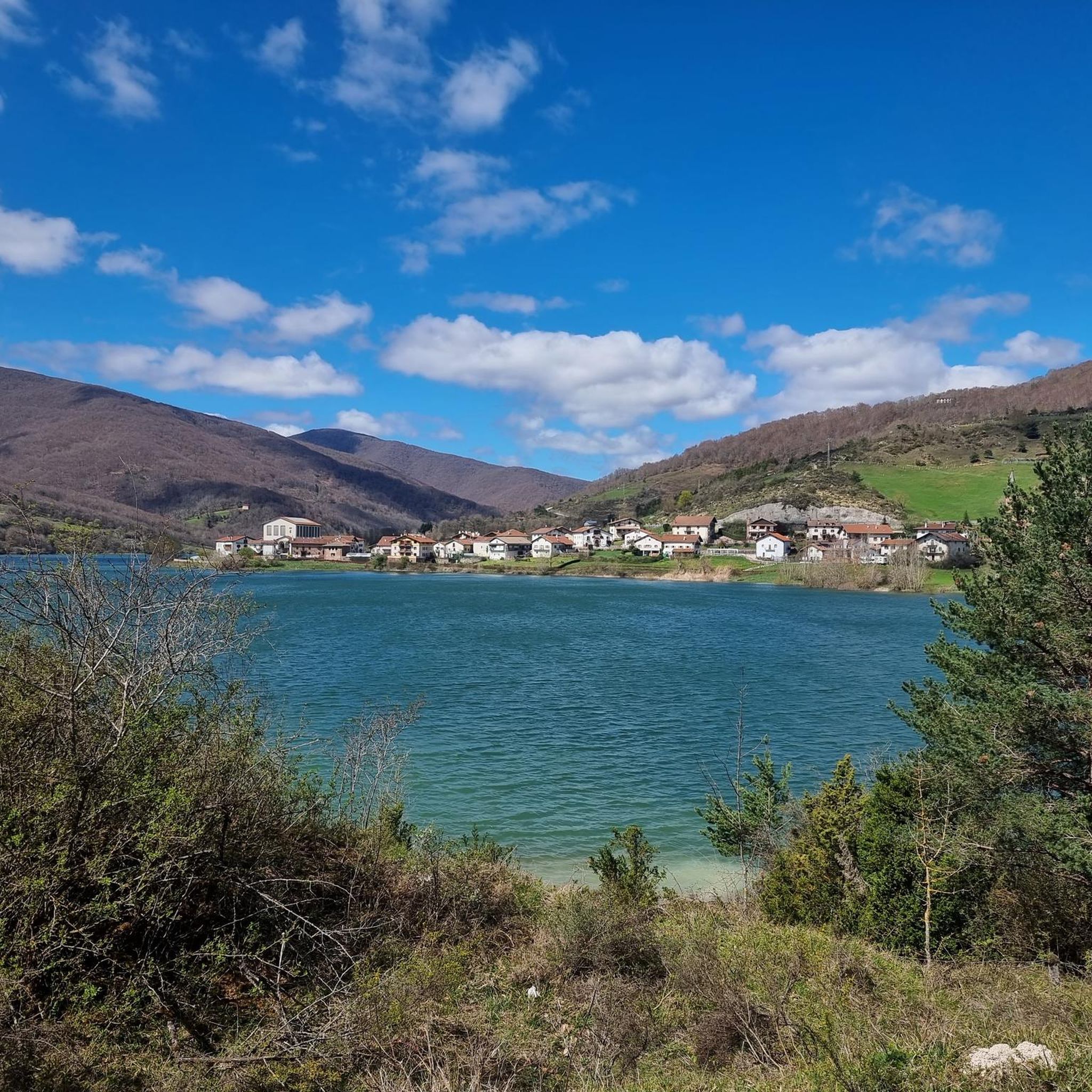
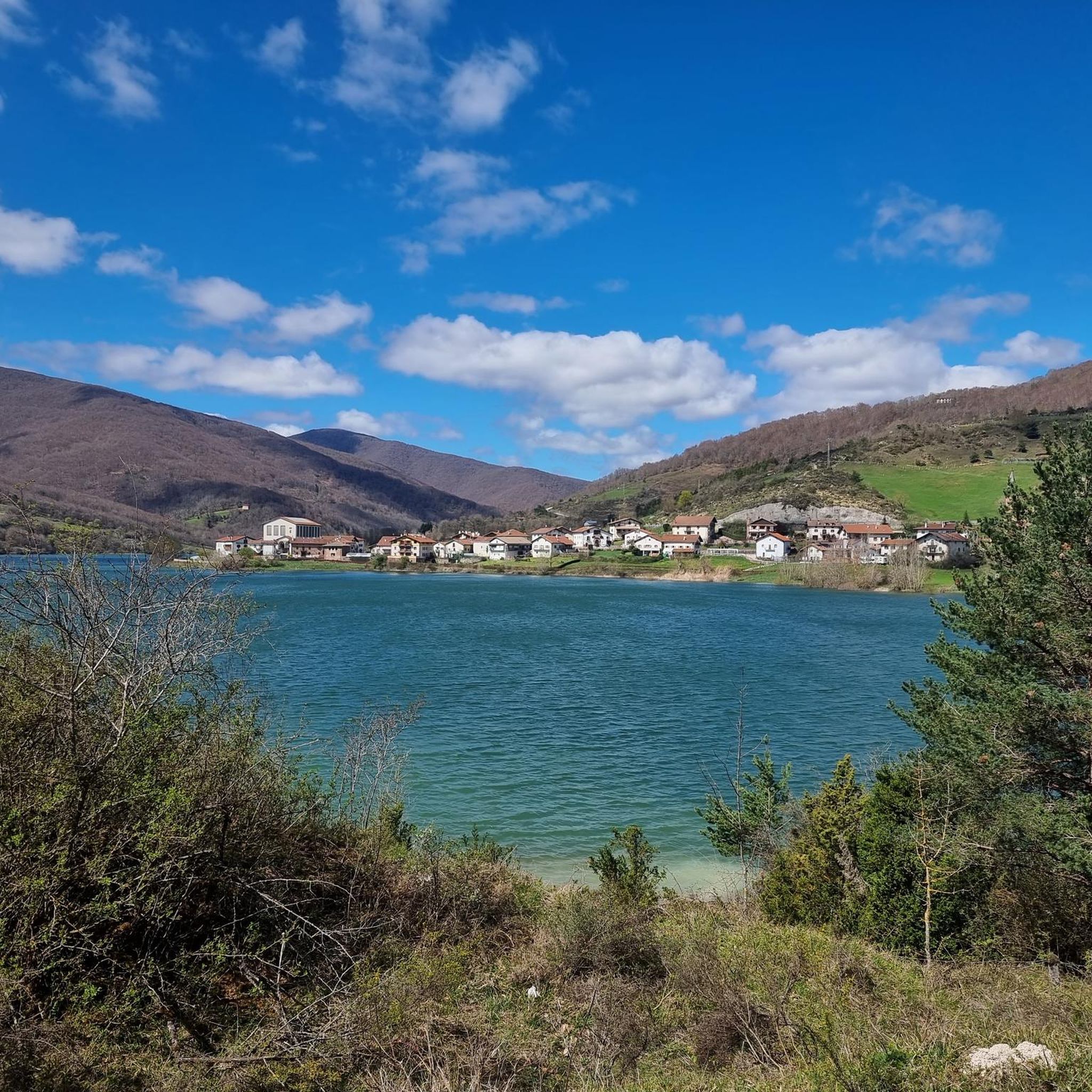
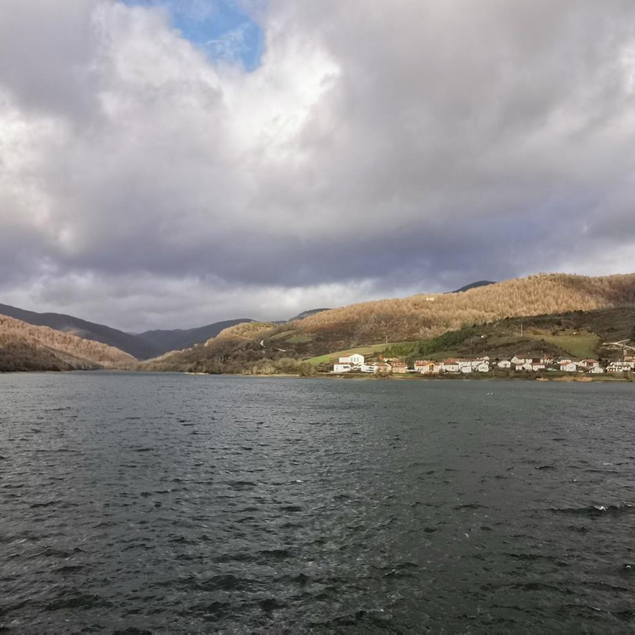
Jogging around Eugi Urtegia offers diverse terrain characterized by lush natural surroundings and scenic views of the reservoir. The region's proximity to the Pyrenees means many trails feature mountainous terrain with varying gradients and significant elevation changes. These running routes provide a backdrop for physical activity, appealing to those who enjoy challenging runs. The landscape includes attractive waterside paths and mountain panoramas, making it a location for an engaging and varied running experience.
Best jogging routes around Eugi Urtegia
- The…
Last updated: July 5, 2026
4
runners
43.1km
07:03
2,370m
2,370m
Hard run. Very good fitness required. Sure-footedness, sturdy shoes and alpine experience required.
97
runners
28.3km
04:26
1,410m
1,410m
Hard run. Very good fitness required. Mostly paved surfaces. Suitable for all skill levels.

Sign up for free
2
runners
9.88km
01:30
520m
520m
Hard run. Very good fitness required. Mostly paved surfaces. Suitable for all skill levels.
5
runners
17.5km
03:04
990m
990m
Hard run. Very good fitness required. Sure-footedness, sturdy shoes and alpine experience required.
5
runners
23.5km
04:15
1,350m
1,350m
Hard run. Very good fitness required. Sure-footedness, sturdy shoes and alpine experience required.
Our route recommendations are based on thousands of hikes, rides, and runs completed by other people on komoot.
Start today with a free account
Your next adventure awaits.
Login or Signup
Tips from the Community


One of the best discoveries this year. I was really looking forward to visiting this area of the Pyrenees, and it has clearly exceeded my expectations. In addition, it was a beautiful day, with sun and good temperature. I couldn't ask for more. Sorogain is a border crossing with 2 very different sides. The Spanish side is flat and enjoyable, crossing a beech forest, following the course of a stream and opening up the majestic valley in the final part, surrounded by horses and sheep. It is approximately 8km with an average gradient of 3%, with the last 2km being harder and with irregular slopes. The French side is also spectacular but much harder. It is also 8km but with an average gradient of 8% and peaks of 18%. There are several km with an average gradient of over 10%, and the final slope is 500m at 15%!!! The views of the Urepel valley are wonderful. The road on both sides is in perfect condition, although it is very narrow and you have to be careful with the few cars there are.
0
0

Typical Basque mountain. Green, with a round top and unbeatable panoramic views
1
0
In February it is closed but it has tables and recreation areas around it. Also garbage containers to recycle. It is a crossroads of several GR trails so it is very well located
0
0

The red and white milestones perfectly mark the path on the steep mountainside and reach a small pass on the rope. The summit is on the left, past the fence of wooden posts that runs along the summit meadows. The vertex is in ruins, we did not see the mailbox with an ax that was on the pedestal, in any case the views of the western Pyrenees are fantastic, the “sentinel” of Quinto Real chose the best place to monitor these contours of forests, rivers and legendary mountains. The trail descends from the summit along the southeast spur. The GR-322 Nafarroa Extrem continues towards the northwest towards the port of Urkiaga, connecting with the GR-11 Senda Pirinaica and GR-12 Sendero de Esuskal Herria trails.
0
0
The road runs through the valley of the Irunbide ravine between ambushed slopes, it seems to enter a lost kingdom until the landscape opens up and the houses of Zilbeti appear on the slopes of the Adi, surrounded by pastures and beech forests. In autumn it is the valley of silence and colors, it has about fifty inhabitants but it is so quiet that they seem smaller. The starting point of the trail is at the entrance to the town, there is space to park in front of a traditional house that seems uninhabited. The route leaves the hamlet and goes up a concrete track on the slopes of the Gurutxaga ravine. The path enters the beech forest at the stream bed and continues through the forest until the end, except for passing through the summit of Adi, it is about 16 kilometers within the splendid beech forests of Quinto Real.
0
0

The Sorogain pass is located on the heights of the Aldudes valley in the Spanish Basque Country, not far from the border with France.
1
0
The Adi or “Ahadi” in Basque is the highest point of the Aldudes valley. Located at 1,457 meters, it is located in the Spanish Basque Country.
1
0
Frequently Asked Questions
What kind of terrain can I expect on running routes around Eugi Urtegia?
Jogging routes around Eugi Urtegia feature diverse and often challenging terrain. You'll find lush natural surroundings, picturesque reservoir views, and significant mountainous sections due to its proximity to the Pyrenees. Expect varying gradients and considerable elevation changes, making for a refreshing and engaging running experience.
Are there any easy running trails in Eugi Urtegia for beginners?
While Eugi Urtegia is known for its challenging mountainous terrain, all the routes currently highlighted in this guide are considered difficult. For example, the Zubiri – Rabia Bridge, Zubiri loop from Esteribar is the shortest at 7.0 km, but still rated difficult due to its elevation profile. Runners seeking less strenuous options might need to explore shorter sections of these trails or look for flatter paths closer to the reservoir's edge.
What are some of the longer, more challenging running routes in the area?
For experienced runners seeking a significant challenge, Eugi Urtegia offers several extensive routes. The Adi – Enokerri loop from Esteribar is a demanding 47.4 km path with substantial elevation gain, offering expansive views. Another challenging option is the Adi loop from Esteribar, covering 28.3 km through varied mountainous terrain.
Are there circular running routes available in Eugi Urtegia?
Yes, many of the running routes around Eugi Urtegia are circular, allowing you to start and finish in the same location. Popular options include the Adi – Zilbeti loop from Eugi, a 24.7 km trail, and the Zilbeti loop from Zilbeti, which is 9.7 km long. These loops provide a convenient way to explore the region's beauty.
What natural features or landmarks can I see while running in Eugi Urtegia?
Eugi Urtegia, often called the 'Switzerland of Navarre,' boasts stunning natural beauty. You'll encounter lush forests, captivating reservoir views, and panoramic mountain vistas from the Pyrenees. While specific highlights are not detailed in this guide, the overall landscape provides a refreshing backdrop for your run, with the historic Real Fábrica de Armas de Eugi also contributing to the scenic context.
Is Eugi Urtegia a good place for trail running with significant elevation gain?
Absolutely. Eugi Urtegia is an excellent destination for trail runners who enjoy significant elevation gain. Its proximity to the Pyrenees means many routes feature substantial climbs. For instance, the Adi – Enokerri loop from Esteribar involves over 2,400 meters of ascent, providing a true test of endurance and rewarding views.
What do other runners say about the trails in Eugi Urtegia?
The running trails around Eugi Urtegia are popular among the komoot community, with over 160 runners having explored the varied terrain. Users often praise the lush natural surroundings, the challenging yet rewarding mountainous routes, and the scenic views of the reservoir and the Pyrenean landscape that enhance the running experience.
Are the running routes around Eugi Urtegia suitable for families?
Given that all the routes listed in this guide are rated as difficult and involve significant distances and elevation changes, they may not be ideal for all families, especially those with young children or beginners. Families looking for easier options might consider exploring shorter, flatter sections of paths closer to the reservoir or seeking out other local areas with less challenging terrain.
What is the best season to go running in Eugi Urtegia?
While specific weather details are not provided, the region's mountainous terrain and lush surroundings suggest that spring and autumn would offer pleasant temperatures and vibrant scenery for running. Summer can be warm, and winter might bring snow to higher elevations, making conditions more challenging. Always check local weather forecasts before heading out.
Are there options for parking when accessing the running trails in Eugi Urtegia?
While specific parking locations are not detailed in this guide, Eugi Urtegia is known for its accessibility. It's generally advisable to look for designated parking areas near trailheads or in the town of Eugi itself, especially when starting routes like the Adi – Zilbeti loop from Eugi.
How many running routes are available in the Eugi Urtegia area?
There are over 8 distinct running routes detailed in the Eugi Urtegia area on komoot, all offering unique challenges and scenic beauty. These routes cater to experienced runners looking for difficult trails with significant elevation changes.

Get inspired with the komoot mobile app


Explore more
Browse the best Running Trails & Routes in other regions.
