The best MTB trails around Lake de los Hurones
4.5
(16)
265
riders
34
rides
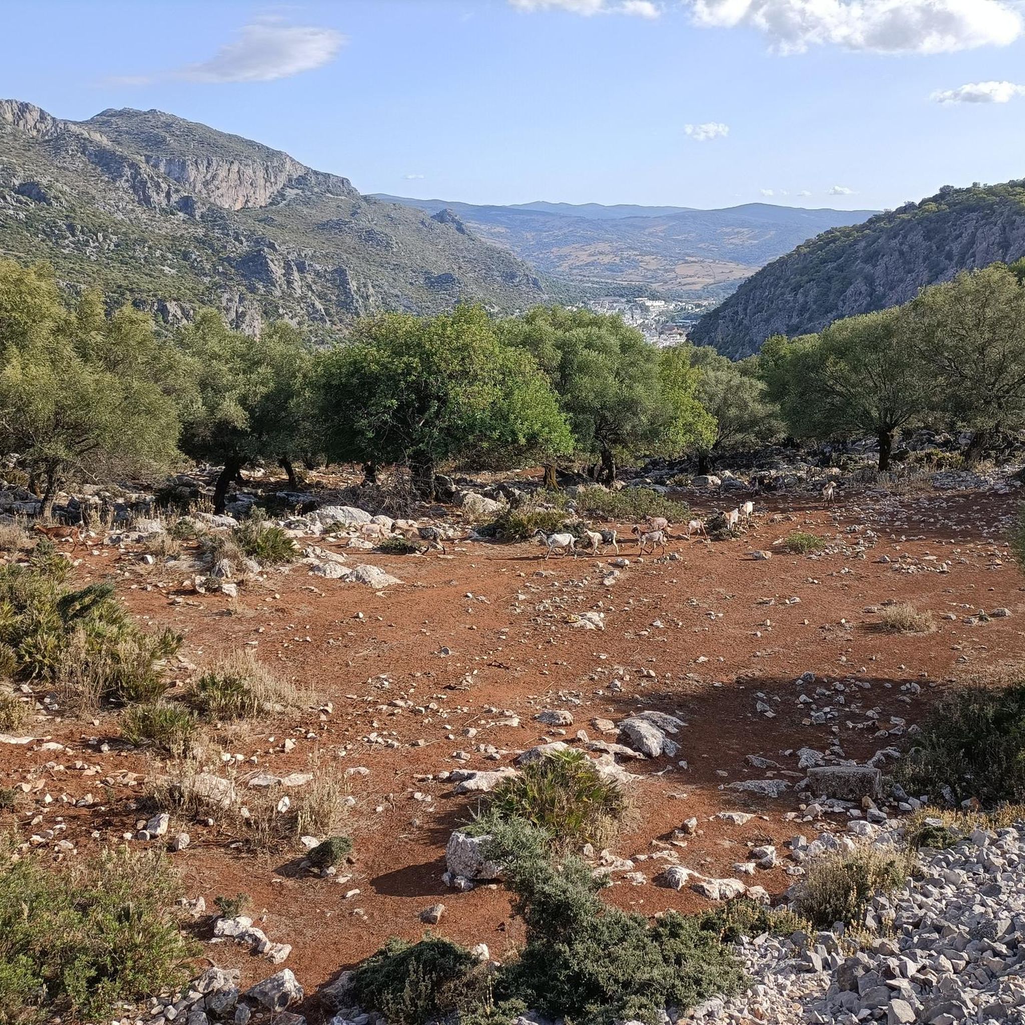
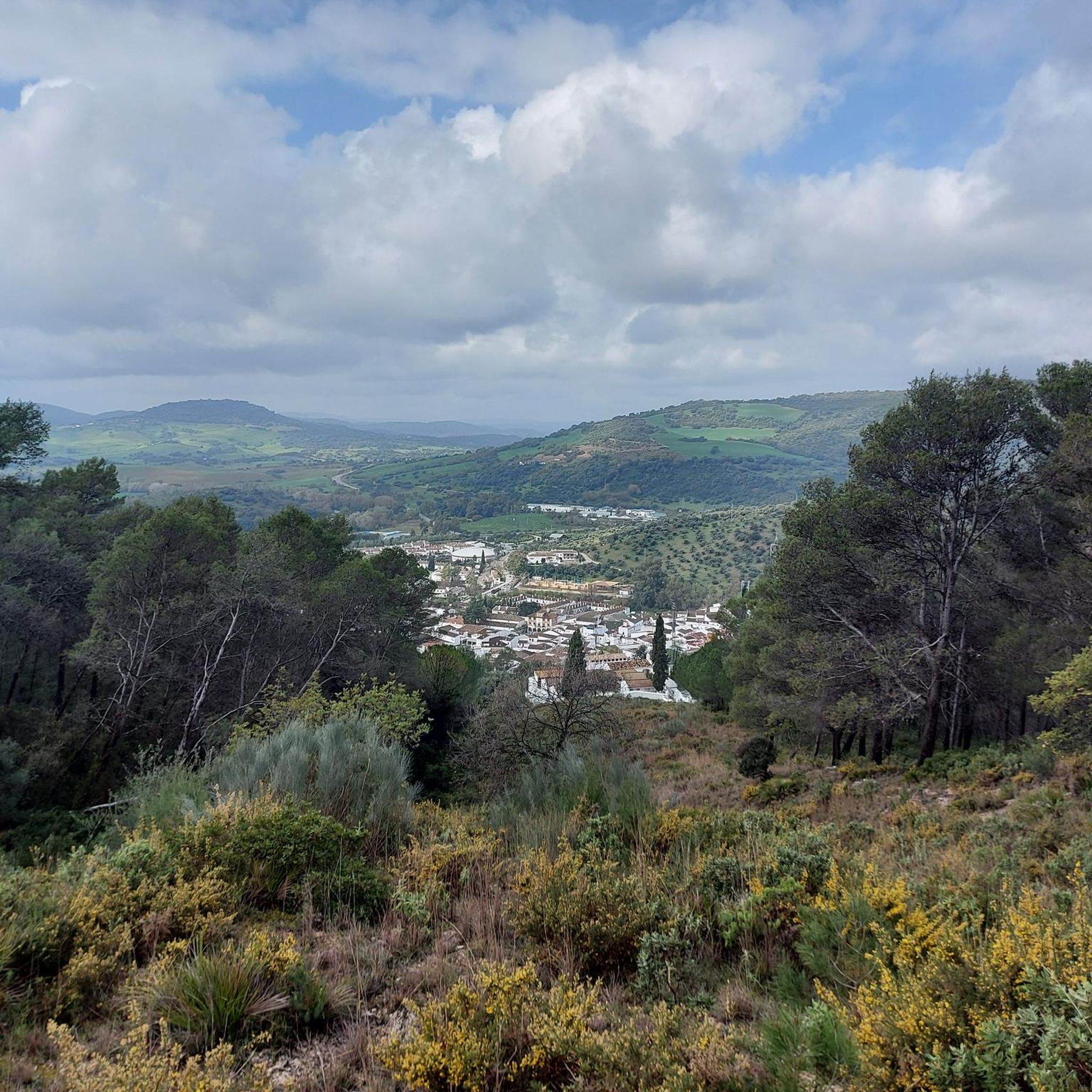
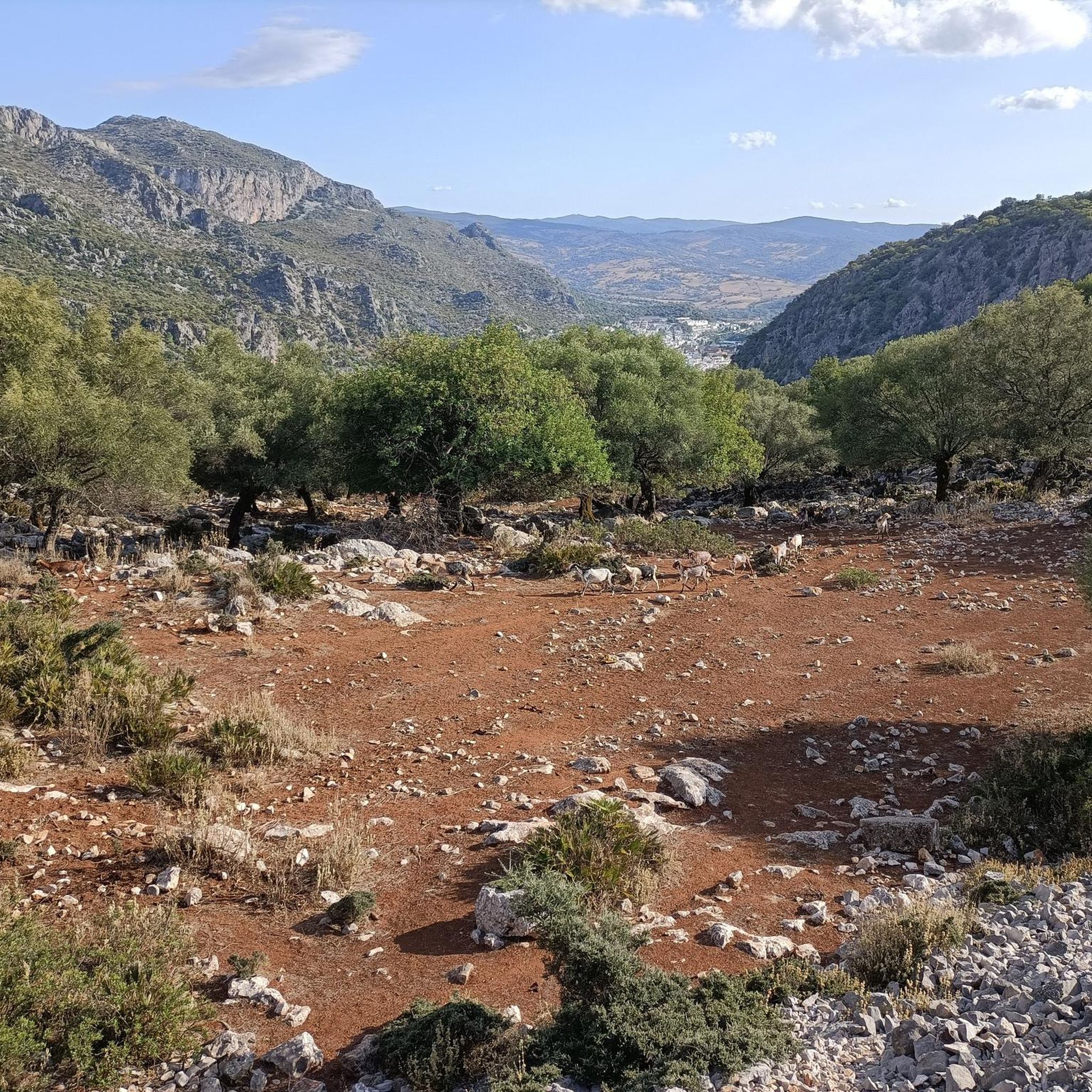
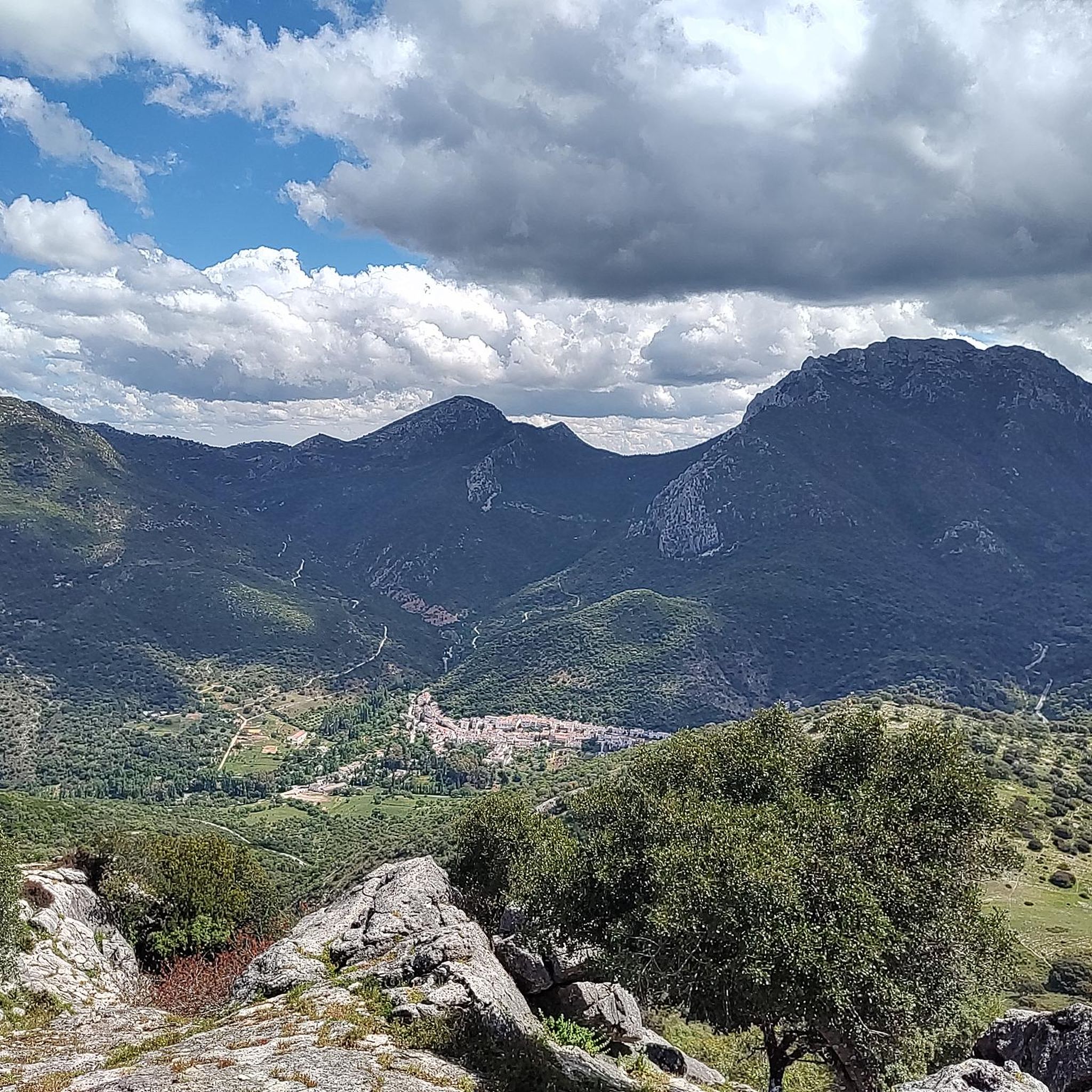
Mountain biking around Lake de los Hurones offers diverse terrain within the Sierra de Cádiz, characterized by its varied topography. The region provides a mix of paths, from moderate routes with uneven ground and hills to more challenging sections featuring steep climbs. This area is known for its natural features, making it a prime destination for outdoor activities. The landscape includes mountainous areas and scenic viewpoints, ideal for mountain biking.
Best mountain bike trails around Lake de los Hurones
- The…
Last updated: July 4, 2026
5.0
(1)
55
riders
87.7km
07:38
2,350m
2,350m
Hard mountain bike ride. Very good fitness required. Advanced riding skills necessary. Some portions of the route may require you to push your bike.
4.0
(1)
12
riders
24.3km
01:38
360m
360m
Moderate mountain bike ride. Good fitness required. Suitable for all skill levels.

Sign up for free
6
riders
51.1km
04:37
1,240m
1,230m
Hard mountain bike ride. Very good fitness required. Suitable for all skill levels.
5
riders
26.8km
02:15
450m
450m
Moderate mountain bike ride. Good fitness required. Suitable for all skill levels.
6
riders
13.5km
01:03
360m
360m
Moderate mountain bike ride. Good fitness required. Suitable for all skill levels.
Get access to more routes and recommendations from other explorers.
Sign up for free
Already have an account?
Our route recommendations are based on thousands of hikes, rides, and runs completed by other people on komoot.
Start today with a free account
Your next adventure awaits.
Login or Signup
Tips from the Community

Beautiful and lifelike group of statues
0
0

Located in the heart of the Sierra de Cádiz, it's a town famous for its leather-working tradition and spectacular natural surroundings. Strolling through its steep, whitewashed streets allows you to discover the essence of Andalusia surrounded by mountains.
0
0


The Majaceite River Trail is one of the most popular routes in the Sierra de Grazalema Natural Park in Cádiz. This approximately 4.4-kilometre route connects the towns of El Bosque and Benamahoma. It is a low-difficulty trail, ideal for families, and can be completed in about 2 hours. During the walk, you will be accompanied by the Majaceite River, also known as the El Bosque River, and you will be able to observe a beautiful gallery forest with poplars, ash trees and elms. In addition, there are several points of historical interest, such as old mills and the Fábrica de Luz, which provided electricity to the area until 1963.
5
0

Highest point of the area with subsequent very long descent
0
1

It is a beautiful trail, we enjoyed it very much, we have done it twice now and I have not planned a third.
1
0

Frequently Asked Questions
What kind of mountain bike trail difficulties can I expect around Lake de los Hurones?
The Lake de los Hurones area offers a diverse range of mountain bike trails. You'll find a mix of paths, from moderate routes with uneven ground and hills to more challenging sections featuring steep climbs, rocks, and roots. Out of nearly 30 routes, 15 are rated moderate, and 12 are considered difficult, providing options for various skill levels.
Are there any mountain bike trails suitable for beginners or families around Lake de los Hurones?
While many trails around Lake de los Hurones feature varied topography and challenging climbs, there are a few options suitable for beginners or families. The region's diverse terrain includes some less demanding paths, though specific 'easy' routes are fewer. It's best to check individual route details for elevation gain and surface conditions to ensure they match your group's skill level.
How long do mountain bike trails typically take around Lake de los Hurones?
Trail durations vary significantly depending on the route's length and difficulty. For example, a moderate trail like Castillo de Matrera – circular desde El Bosque por Prado del Rey, which is 18.2 miles (29.3 km), typically takes around 3 hours. Longer, more difficult routes, such as the Puerto del Boyar Viewpoint – Grazalema village loop from Ubrique (53.9 miles or 86.7 km), can take over 7 hours to complete.
What are the best times of year for mountain biking around Lake de los Hurones?
The Lake de los Hurones area, situated within the Sierra de Cádiz, generally offers good mountain biking conditions for much of the year. Spring and autumn are often ideal, with milder temperatures and pleasant weather. Summers can be hot, so early morning or late afternoon rides are recommended. Winters are typically mild, but checking local weather forecasts for rain or cooler temperatures is always advisable.
Are there any circular mountain bike routes available?
Yes, there are several circular mountain bike routes around Lake de los Hurones. A popular option is the Castillo de Matrera – circular desde El Bosque por Prado del Rey, a moderate 18.2-mile (29.3 km) path. Another challenging circular route is the Puerto del Boyar Viewpoint – Grazalema village loop from Ubrique, spanning 53.9 miles (86.7 km) through mountainous terrain.
What do other mountain bikers enjoy most about the trails around Lake de los Hurones?
The mountain bike trails around Lake de los Hurones are highly rated by the komoot community, with an average score of 4.75 stars from over 10 reviews. Riders frequently praise the varied topography, the challenging climbs, and the scenic views of the surrounding mountainous landscapes within the Sierra de Cádiz.
Are there any notable landmarks or viewpoints to see while mountain biking?
Yes, the region is known for its natural features and scenic viewpoints. The Puerto del Boyar Viewpoint is a significant landmark offering expansive views, often included in longer routes. The area's mountainous landscapes provide numerous opportunities for picturesque vistas throughout your ride.
What kind of terrain can I expect on the mountain bike trails?
The terrain around Lake de los Hurones is characterized by its varied topography. You'll encounter a mix of paths, from uneven ground and small hills to more challenging sections with steep climbs, rocks, and roots. The landscape is predominantly mountainous, offering a dynamic riding experience.
Are there any less crowded mountain bike trails around Lake de los Hurones?
While specific crowd levels can vary, exploring some of the longer or more challenging routes, particularly on weekdays, might offer a more secluded experience. The region has nearly 30 routes, so venturing beyond the most popular ones can often lead to quieter paths. Always check recent komoot tour reports for current conditions and popularity.
What are some of the longer, more challenging mountain bike routes in the area?
For experienced riders seeking a challenge, the Puerto del Boyar Viewpoint – Grazalema village loop from Ubrique is a difficult 53.9-mile (86.7 km) trail with significant elevation gain. Another demanding option is the Pass of the Doves – Grazalema loop from El Bosque, a difficult 44.6-mile (71.8 km) route that also features substantial climbing.
Is there parking available near the mountain bike trailheads?
Information on specific parking facilities for each trailhead is typically found within the individual route descriptions on komoot. Given the region's popularity for outdoor activities, parking is generally available near common starting points for trails, especially in towns like El Bosque and Ubrique, which serve as gateways to many routes.
Can I access mountain bike trails around Lake de los Hurones using public transport?
While direct public transport access to every trailhead might be limited, towns like El Bosque and Ubrique, which are common starting points for many routes, are generally accessible by regional bus services. From these towns, you may need to cycle a short distance to reach the trailheads. It's advisable to check local bus schedules and routes in advance.
Most popular routes around Lake de los Hurones

Get inspired with the komoot mobile app


Explore more
Browse the best MTB trails in other regions.
