The best running trails around Encoro de Zamáns
4.2
(66)
5,444
runners
112
runs
Jogging around Encoro de Zamáns offers diverse natural landscapes and well-maintained natural features. The region is characterized by the Encoro de Zamáns reservoir, which is encircled by nature trails, and the Zamáns river, featuring ancient mills. Forest parks, including the Forest Park of Zamáns, provide varied terrains suitable for running, with trails that gradually ascend towards the base of Mount Galiñeiro. This area provides a mix of paths and tracks through dense forests of native species.
Best jogging routes around Encoro de Zamáns
- The most popular jogging route is Running loop from O Outeiro da Gorella, a 5.4 miles (8.6 km) trail that takes 1 hour 3 minutes to complete. This moderate route features an elevation gain of over 260 meters.
- Another top favourite among local runners is Running loop from O Penedo da Faladoura, a moderate 6.2 miles (10.0 km) path. This route offers varied terrain with an elevation gain of over 270 meters.
- Local runners also love the Running loop from A Galla do Galiñeiro, a 3.1 miles (5.0 km) trail leading through areas near Mount Galiñeiro, often completed in about 33 minutes.
- Jogging around Encoro de Zamáns is defined by reservoir-side paths, dense forest trails, and routes near the base of Mount Galiñeiro. The network offers options for different ability levels, from easy loops to more challenging ascents.
- The routes in Encoro de Zamáns are highly rated by the komoot community with an average score of 4.2 stars from over 40 reviews. More than 3800 runners have used komoot to explore Encoro de Zamáns's varied terrain.
Last updated: October 15, 2026
4
runners
8.61km
01:03
260m
260m
Moderate run. Good fitness required. Mostly paved surfaces.
6
runners
14.4km
01:49
460m
460m
Hard run. Very good fitness required. Mostly runnable paths. Some sure-footedness required.

20
runners
Hard run. Very good fitness required. Mostly runnable paths. Some sure-footedness required.
5
runners
10.0km
01:15
270m
270m
Moderate run. Good fitness required. Mostly paved surfaces.
5
runners
Hard run. Very good fitness required. Mostly paved surfaces.
Get access to more routes and recommendations from other explorers.
Already have an account?
Our route recommendations are based on thousands of hikes, rides, and runs completed by other people on komoot.
Start today with a free account
Your next adventure awaits.
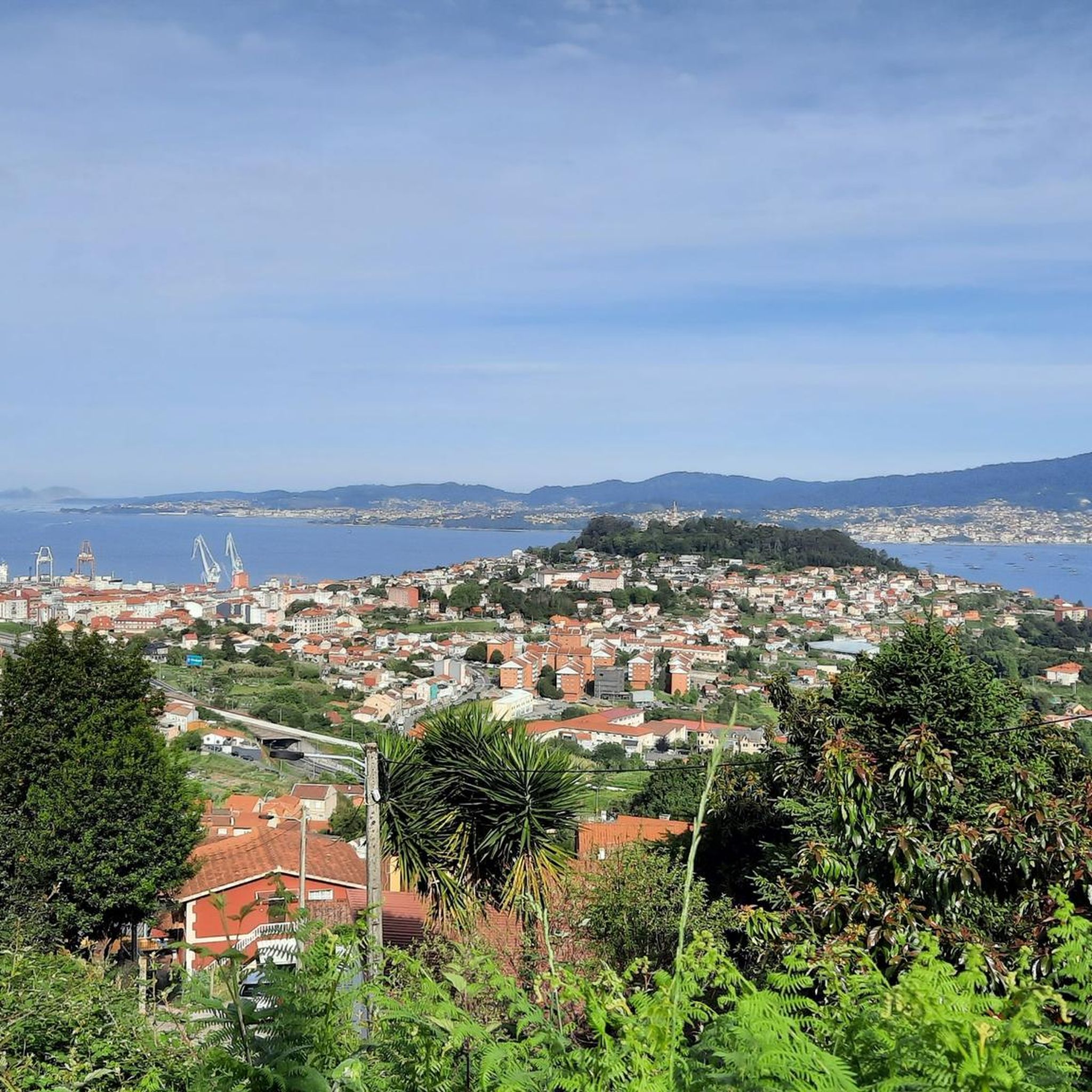
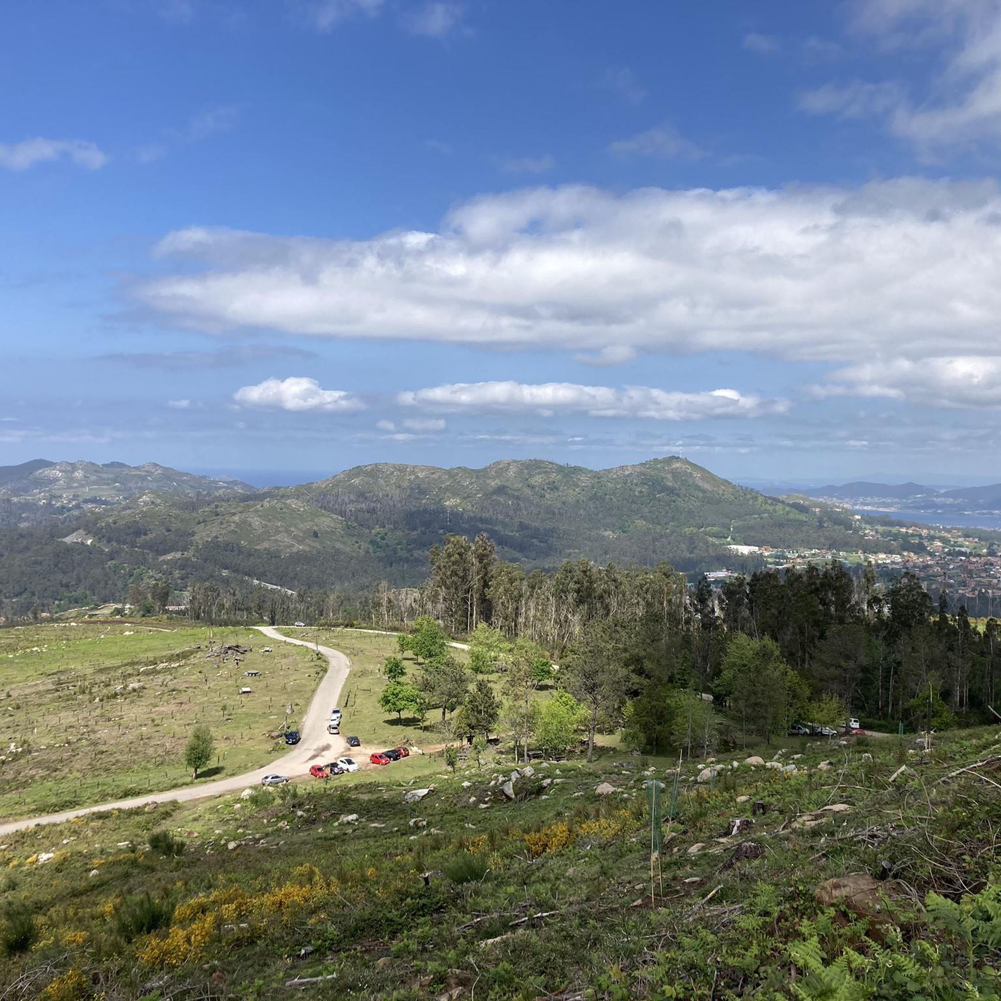
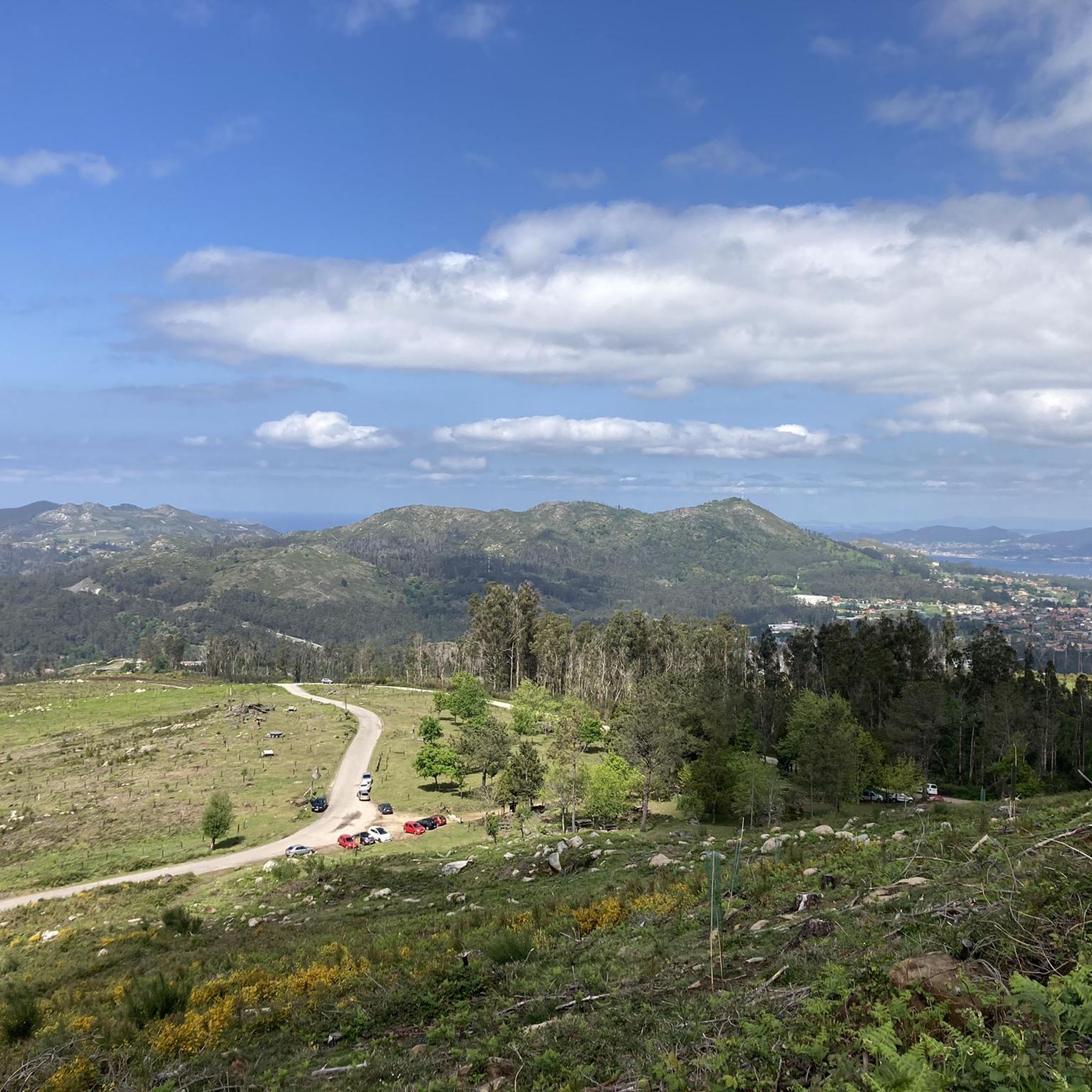
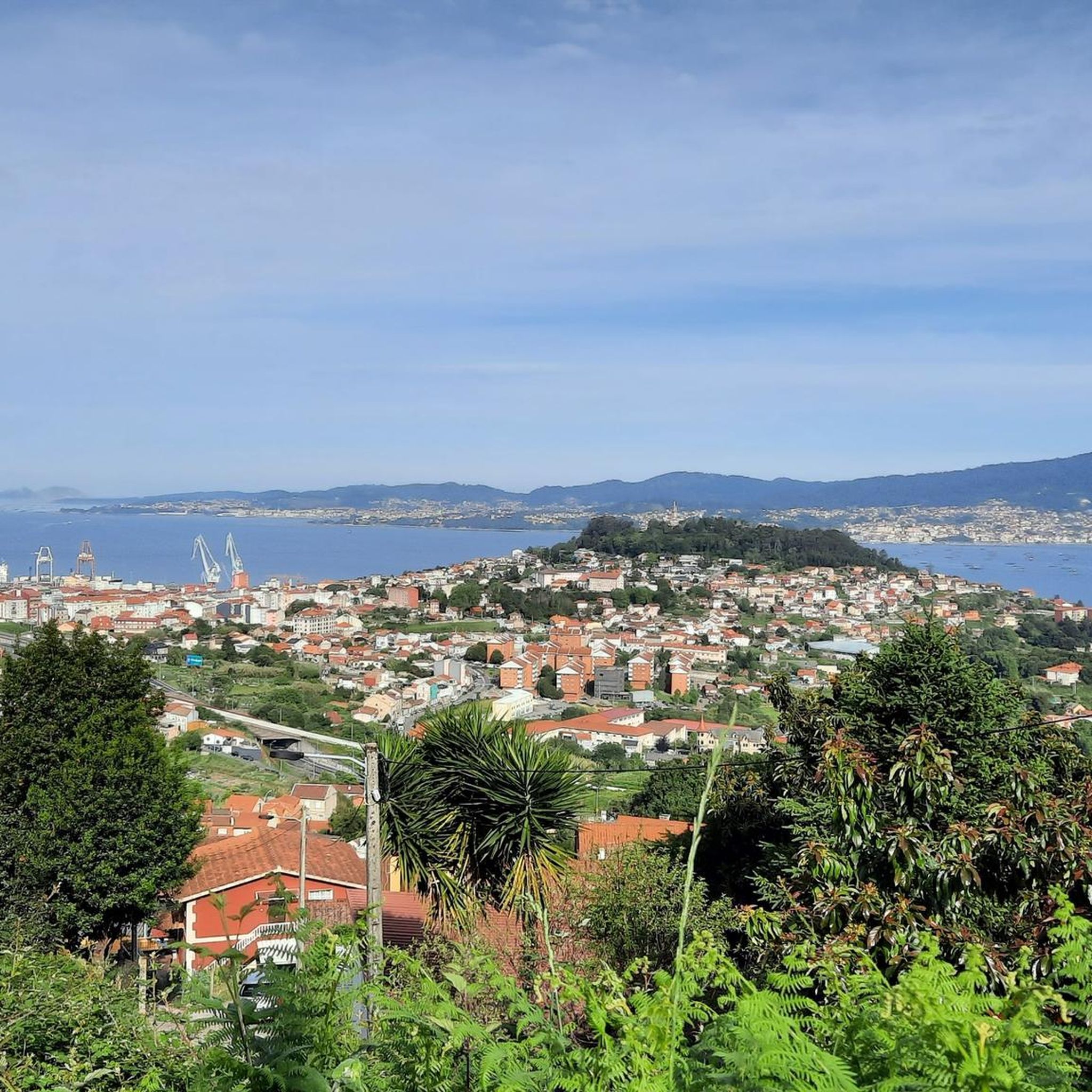

Tips from the Community

If you decide to explore this route, you will be surrounded by nature and stunning views. Enjoy your hike! 🏞️🚶♂️🥾🚵🌞
6
0
Mount Aloia is a beautiful place full of nature, this natural park is located on the southern limit of the Serra do Galiñeiro. One of its main attractions are the panoramic views of the valleys of the Miño and Louro rivers. The highest point is Alto de San Xiao (631 m), which is the most visited place in this enclave. Mount Aloia was declared the first Natural Park of Galicia on October 4, 1978. Although it is the smallest of the natural parks in the community, it has an extensive network of paths, 6 viewpoints and picnic areas to enjoy nature alongside the “wet stripe” (border) with Portugal. Near Mount Aloia, there is a Via Crucis that culminates at the Cruz viewpoint, which dates back to 1910. This viewpoint offers impressive views and is a must-see place for cycle tourists and lovers of hiking and nature. If you have the opportunity to visit Mount Aloia, I recommend exploring these places and enjoying the natural beauty it offers. I hope you have a wonderful experience! 😊
3
0

A huge granite mountain range west of O Porriño, with the highest peaks just above 700 meters above sea level, giving brave hikers a panoramic view of the Atlantic coast, the Miño River valley and the Galician mountain interior. .
2
0
A panoramic viewpoint and the final stage of the Vuelta de España in 1988. A small Hermitage and a stone cross mark this mountainous place above O Porriño.
1
0
The only national park in Galicia. The summit of this mountain and the surrounding forest offer spectacular views of the Minho River valley and the Atlantic Ocean beyond.
1
0

beautiful ascents and descents and spectacular views from the different viewpoints
2
0
The path of the Beade Forest Park goes up to the University of Vigo
2
0
For spectacular views on a clear day, climb to the top of Monte Aloia, a natural park overlooking the medieval town of Tui on the Miño River.
1
0
Frequently Asked Questions
How many running routes are available in Encoro de Zamáns?
Encoro de Zamáns offers a wide selection of running routes, with over 70 options available. These range from easy loops to more challenging ascents, catering to various fitness levels.
Are there easy jogging routes suitable for beginners or casual runners?
Yes, the region provides several easy jogging routes. There are 8 routes specifically classified as easy, perfect for those new to running or looking for a relaxed pace. Many of these trails offer gentle paths through the natural landscapes.
What kind of terrain can I expect on the running trails around Encoro de Zamáns?
The running trails in Encoro de Zamáns feature diverse terrain. You'll find a mix of reservoir-side paths, dense forest trails with native species like chestnut and oak, and routes that gradually ascend towards the base of Mount Galiñeiro. The area is known for its well-maintained natural features and varied surfaces.
Are there any circular running routes around the reservoir?
Absolutely. The Encoro de Zamáns reservoir is encircled by nature trails, offering a special charm depending on the season. One notable option is the 'Sendero Local de Zamáns', a 7.2-kilometer circular route with moderate difficulty, combining paths and tracks through a forest park.
Can I bring my dog on the running trails in Encoro de Zamáns?
While the guide doesn't specify dog-friendly policies for every route, many natural trails in the region are generally suitable for dogs, especially those in forest parks. It's always recommended to keep your dog on a leash and follow local regulations to ensure a pleasant experience for everyone.
Are there any waterfalls or historical mills to see while running?
Yes, the area is rich in natural and historical sights. Along the trails, you can discover the beautiful A Freixa Waterfall (Cascada de A Freixa). The region is also traversed by the Zamáns river, where you can find several ancient mills, including the restored Muiño das Maquías complex, offering a glimpse into the area's cultural heritage.
What are some longer distance running options in the area?
For runners seeking longer distances, routes like Running loop from O Penedo da Faladoura offer a moderate 10.0 km path with varied terrain. There are also 11 difficult routes available for those looking for more challenging, extended runs.
Is Encoro de Zamáns suitable for family jogging?
Yes, Encoro de Zamáns can be suitable for family jogging, especially on the easier and moderate routes. The diverse natural landscapes and forest parks provide pleasant environments for outdoor activities. Consider routes with less elevation gain for younger family members.
What do other runners say about the trails in Encoro de Zamáns?
The running routes in Encoro de Zamáns are highly rated by the komoot community, with an average score of 4.2 stars from over 40 reviews. Runners often praise the diverse natural landscapes, well-maintained paths, and the scenic beauty of the reservoir and surrounding forests.
Are there any routes that offer significant elevation gain for a challenging run?
For a more challenging run with significant elevation, consider routes like Fervenza da Bouzafría – Muiño de Crebada Watermill loop from Bembrive. This difficult 8.6 km route features an elevation gain of over 380 meters, providing a robust workout.
Can I find routes that lead towards Mount Galiñeiro?
Yes, some trails in the area gradually ascend towards the base of Mount Galiñeiro, the highest point in Val do Fragoso. The Running loop from A Galla do Galiñeiro is a 5.0 km trail that leads through areas near the mountain, offering scenic views and a taste of its foothills.
What are some notable landmarks or points of interest along the running trails?
Beyond the natural beauty of the reservoir and forests, you can encounter several points of interest. These include ancient mills along the Zamáns river, an ethno-archaeological zone, numerous fountains, traditional washing places, and even the unique 'Las Lecheras de Zamáns' sculpture, honoring local milkmaids.
Most popular routes around Encoro de Zamáns

Get inspired with the komoot mobile app


Explore more
Browse the best Running Trails & Routes in other regions.
