The best walks and hikes around Embalse de Alcorlo
4.8
(5)
19
hikers
7
hikes
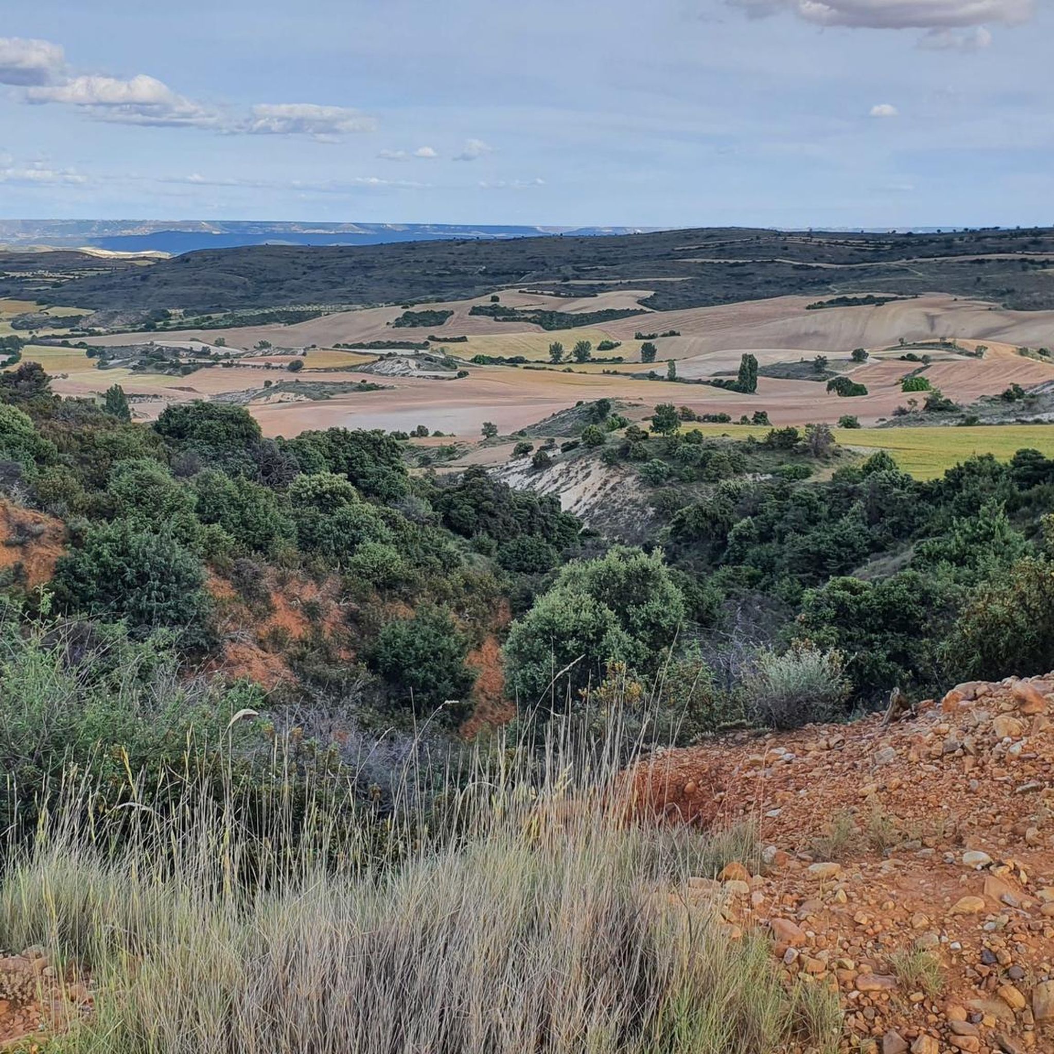
Hiking around Embalse de Alcorlo offers diverse landscapes characterized by tranquil reservoir waters, significant Upper Cretaceous geological outcrops, and forests of holm oaks. The terrain features prominent cliffs and limestone structures, providing varied elevation for hikers. This region, located in Guadalajara, Spain, is known for its natural beauty and ecological importance.
Best hiking trails around Embalse de Alcorlo
- The most popular hiking route is Embalse de Pálmaces from Hiendelaencina — circular via the Camino del Cid, a 15.9 miles…
Last updated: July 1, 2026
3
hikers
4.59km
01:18
90m
100m
Easy hike. Great for any fitness level. Easily-accessible paths. Suitable for all skill levels.
25.5km
07:18
550m
550m
Hard hike. Very good fitness required. Mostly accessible paths. Sure-footedness required.

Sign up for free
4.0
(1)
4
hikers
9.43km
02:52
210m
210m
Moderate hike. Good fitness required. Mostly accessible paths. Sure-footedness required.
5.0
(1)
4
hikers
7.95km
02:15
170m
170m
Moderate hike. Good fitness required. Easily-accessible paths. Suitable for all skill levels.
5.0
(2)
5
hikers
Moderate hike. Good fitness required. Easily-accessible paths. Suitable for all skill levels.
Get access to more routes and recommendations from other explorers.
Sign up for free
Already have an account?
Our route recommendations are based on thousands of hikes, rides, and runs completed by other people on komoot.
Start today with a free account
Your next adventure awaits.
Login or Signup

Tips from the Community

What to see 🧭 “El País de la Plata” Interpretation Center Interactive museum about local mining, open Saturdays and Sundays from 12:00 to 14:00. General admission approx. €2, free for residents and children under 14. ⛪ Santa Cecilia Parish Church 19th-century building constructed during the mining boom, with a single nave and a simple transept. 🏗️ Mining and Industrial Heritage More than 200 shafts/mines, such as Santa Catalina, Santa Teresa, Mala Noche, Fuerza, etc. Remains of ore-washing facilities like San Carlos, ruined industrial sites, and power plants.
4
0
A village in the Sierra Norte of Guadalajara, at an altitude of approximately 1,084 meters. Its origins are medieval, possibly predating the Bronze Age. The name derives from the Arabic Hisn al-Ancina (“castle of the holm oak”). In 1844, the discovery of silver triggered a “silver rush,” transforming Hiendelaencina into a major 19th-century mining district, with up to 200 mines and a population that reached 5,000. A parish church dedicated to Saint Cecilia was built between 1848 and 1851, financed with funds from the mining town.
4
0

Beautiful town in Guadalajara near Alcorlo.
0
1

On the Cañamares River
0
0
Hiendelaencina and its surroundings, with its Silver mines and the Barranco del Río Bornova, with its Silver Museum and Monuments to the Mines, with its nearby towns and its people, are essential places to learn about its very interesting history of success.
0
0

Small but fine museum about local history, region and mining.
0
0
These are the ruins of the ancient Silver Mines Power Plant. In addition to the La Plata dam on the Bornova River, it still has the canal and the turbines, generators and control panels from that time. It is a little removed from Hiendelaencina.
0
0
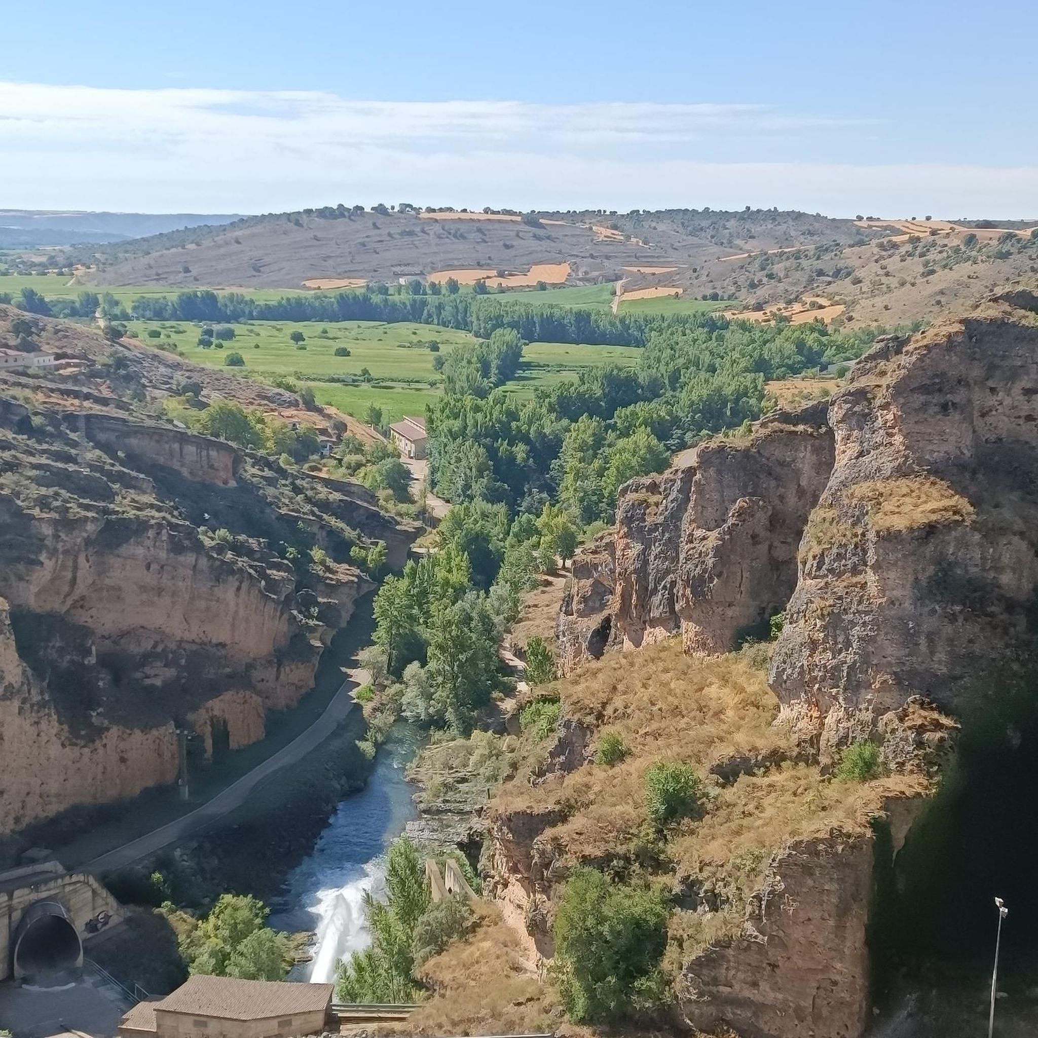
It is a very interesting town, with a large number of silver mines in its surroundings. In the La Plata museum everything related to the exploitation of these mines is explained. Very close is the Bornova River, whose canyon can be visited in some sections, with a beautiful landscape. There are also good bar and restaurant services.
2
0
Frequently Asked Questions
What kind of terrain can I expect on hikes around Embalse de Alcorlo?
The terrain around Embalse de Alcorlo is diverse, featuring tranquil reservoir waters, significant Upper Cretaceous geological outcrops with prominent cliffs and limestone structures, and forests of holm oaks. You'll encounter varied elevations, from easy paths to more challenging routes with notable ascents.
Are there any easy hiking trails suitable for beginners or families?
Yes, there is one easy route available. The Plaza Duques de Medinaceli – Ducal Palace of Cogolludo loop from Cogolludo is a 5.0 km trail that takes approximately 1 hour 26 minutes to complete, making it a good option for a relaxed walk.
What are the best times of year to go hiking in Embalse de Alcorlo?
The best times to visit Embalse de Alcorlo for hiking are spring, especially May when the rockrose blooms, and autumn. In autumn, the foliage displays vibrant colors, creating a particularly scenic experience. The tranquil environment and clean air are enjoyable throughout these seasons.
Are there any circular hiking routes around Embalse de Alcorlo?
Yes, there are circular routes available. For a challenging full-day hike, consider the Embalse de Pálmaces from Hiendelaencina — circular via the Camino del Cid, which is 25.5 km long. A moderate option is the Hiendelaencina – Hiendelaencina Silver Mines loop from Hiendelaencina, covering 9.4 km.
What natural features or landmarks can I see while hiking here?
Hikers can observe significant Upper Cretaceous geological outcrops, including impressive cliffs and limestone structures. The area is also known for its forests of holm oaks and diverse vegetation. A unique attraction is the submerged village of Alcorlo, whose remains can sometimes be seen when water levels are low.
What do other hikers say about the trails in Embalse de Alcorlo?
The routes in Embalse de Alcorlo are highly rated by the komoot community, with an average score of 4.75 stars from over 5 reviews. Hikers often praise the varied terrain, from reservoir views to geological formations and forests, offering options for different ability levels.
Are there any historical sites or cultural attractions near the hiking trails?
Yes, the area offers cultural extensions. The Hiendelaencina – Hiendelaencina Silver Mines loop from Hiendelaencina explores a historical silver mines area. Additionally, nearby towns like Cogolludo and Atienza are recommended for visits, offering traditional architecture and historical interest.
What kind of wildlife might I encounter on the trails?
The region is home to various wildlife species. You might spot the natterjack toad (sapo corredor), and the reservoir itself supports fish populations including carp and black bass, making it a spot for fishing enthusiasts.
Are there any long-distance hiking options in the area?
For a longer, more challenging experience, the Embalse de Pálmaces from Hiendelaencina — circular via the Camino del Cid is a difficult 25.5 km route that typically takes over 7 hours to complete, featuring significant elevation gain.
How many hiking routes are available in the Embalse de Alcorlo area?
There are 5 hiking routes detailed for the Embalse de Alcorlo area, catering to various difficulty levels from easy to difficult.
Are there any moderate difficulty hikes available?
Yes, there are three moderate routes. These include the Hiendelaencina – Hiendelaencina Silver Mines loop from Hiendelaencina (9.4 km) and the Hiendelaencina Silver Mines – La Plata Power Plant loop from Hiendelaencina (8.5 km).

Get inspired with the komoot mobile app


Explore more
Browse the best Hikes in other regions.
