The best walks and hikes around Lisnafin
5.0
(1)
16
hikers
4
hikes
Hiking around Lisnafin offers trails through a landscape characterized by loughs and rolling hills. The region features varied terrain, from gentle paths around water bodies to more elevated routes. Hikers can explore the countryside, encountering both open spaces and areas with natural features like Lough Moor and Lough Catherine. The trails provide opportunities to experience the local natural environment.
Best hiking trails around Lisnafin
- The most popular hiking route is Ballynargan to Lough Moor, a 7.1 miles (11.4 km)…
Last updated: October 12, 2026
11.4km
03:01
120m
120m
Hike 7.1 miles (11.4 km) through the Sperrins to Moor Lough, experiencing moderate terrain and wild, untouched landscapes.
11.0km
03:16
350m
350m
Moderate hike. Good fitness required. Easily-accessible paths. Suitable for all skill levels.

5
hikers
5.49km
01:27
50m
50m
Easy hike. Great for any fitness level. Easily-accessible paths. Suitable for all skill levels.
5.0
(1)
6
hikers
1.85km
00:28
0m
0m
Easy hike. Great for any fitness level. Easily-accessible paths. Suitable for all skill levels.
5
hikers
6.41km
01:57
220m
220m
Easy hike. Great for any fitness level. Easily-accessible paths. Suitable for all skill levels.
Our route recommendations are based on thousands of hikes, rides, and runs completed by other people on komoot.


Tips from the Community

*UPDATE* there are no longer public toilets at this spot
1
0

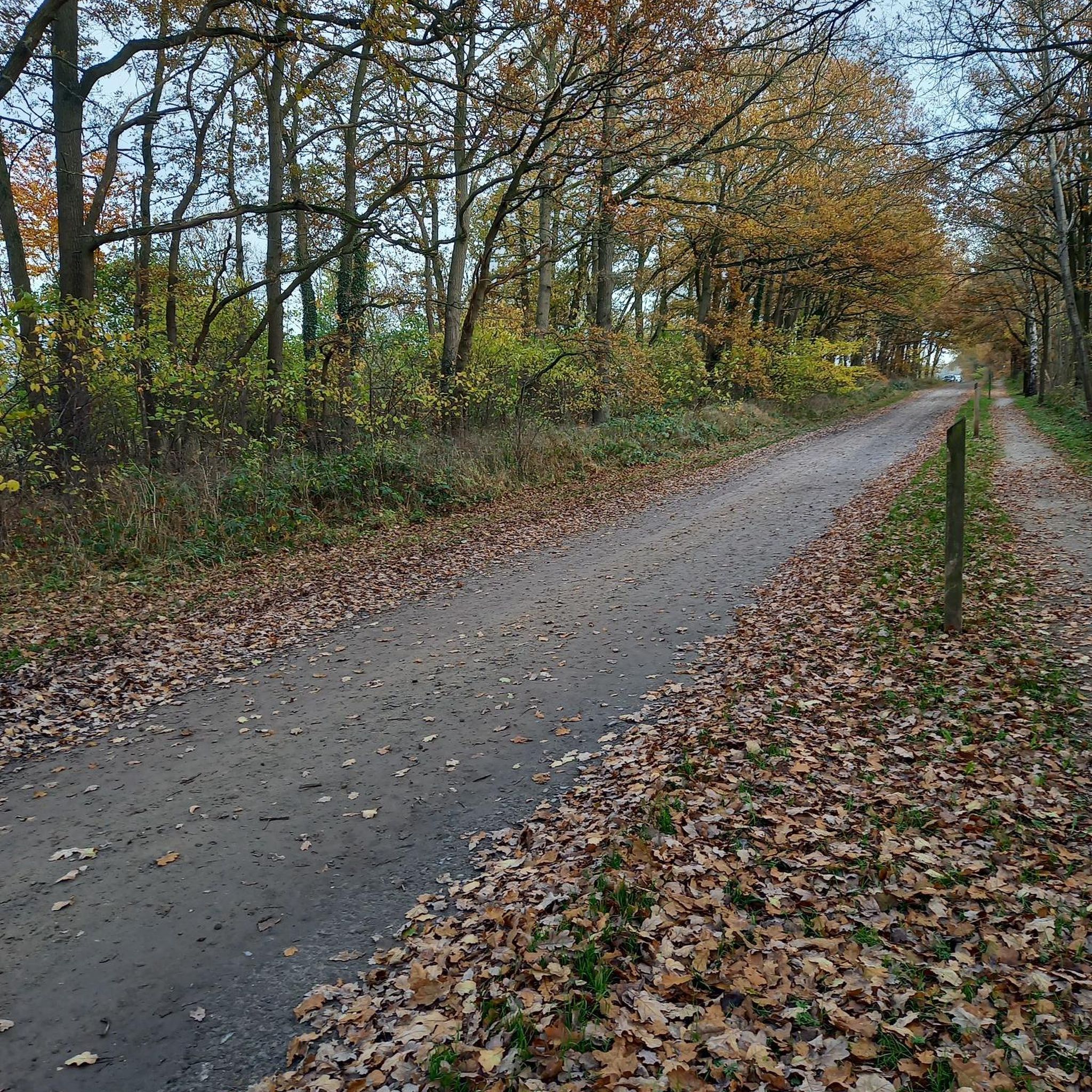
This quiet country lane located at the foothills of Bessy Bell hilltop is a picturesque location for a stroll. Enjoy wonderful scenery of farmland and streams, and the mountaineous landscape of the Sperrins in the distance.
1
0
Bessy Bell is a small, rounded mountain situated not too far from Omagh that boasts wonderful views of the Sperrins to the east. On a clear day, the views stretch as far as the Derg Valley and the hills of Donegal, as well as all the way over to Errigle.
1
0
Moor Lough is a beautiful lake situated in the Sperrins Area of Natural Beauty. The lough is fit with public toilets, several beaches, and a segregated paddleboarding area. The fisheries are well stocked with takeable trout making it popular amongst fishermen. It's worth bringing a picnic and spending an afternoon lazing around the river with friends or family.
3
0

Popular spot for fishing, the Lough has a great gravel track around the edge. The views are great all the way around.
0
0

Beautiful lough, perfect for stopping to spot the wildlife and have a picnic.
1
0
Frequently Asked Questions
How many hiking trails are available in Lisnafin?
Lisnafin offers several hiking trails, with a total of 4 routes documented on komoot. These range from easy loops around loughs to more moderate ascents through the rolling hills.
Are there easy hiking trails suitable for beginners in Lisnafin?
Yes, Lisnafin has easy hiking trails perfect for beginners or those seeking a relaxed walk. Two notable easy routes include the Lough Catherine loop from Island McHugh, which is 5.5 km long, and the shorter Moor Lough – Moor Lough loop from Altishane, at 1.8 km.
What are the lengths of the hiking trails in Lisnafin?
The hiking trails in Lisnafin vary in length. You can find shorter loops like the Moor Lough – Moor Lough loop from Altishane at 1.8 km, up to longer routes such as Ballynargan to Lough Moor, which covers 11.4 km.
Are there any circular walks in Lisnafin?
Yes, Lisnafin features several circular walks. The Lough Catherine loop from Island McHugh is a popular 5.5 km option, and the Moor Lough – Moor Lough loop from Altishane offers a shorter 1.8 km circular route.
What kind of viewpoints can I expect on Lisnafin's hiking trails?
Lisnafin's trails offer views of its characteristic loughs and rolling hills. For example, the Ballynargan to Lough Moor route provides scenic vistas of Lough Moor itself. Additionally, areas like Dunbreen Road are known for their viewpoints.
What do other hikers enjoy most about hiking in Lisnafin?
The komoot community highly rates the hiking experience in Lisnafin, with an average score of 5.0 stars. Hikers often praise the tranquil lough-side paths and the varied terrain that allows for both gentle strolls and more challenging ascents through the rural landscape.
Are there any family-friendly hiking options in Lisnafin?
For families, the easier, shorter loops around the loughs are ideal. The Moor Lough – Moor Lough loop from Altishane is a gentle 1.8 km walk, suitable for a leisurely family outing, while the 5.5 km Lough Catherine loop from Island McHugh offers a slightly longer, yet still accessible, option.
What is the best time of year to hike in Lisnafin?
Lisnafin's landscape of loughs and rolling hills can be enjoyed throughout the warmer months, typically from spring to autumn, when paths are generally drier and the scenery is vibrant. Always check local weather forecasts before heading out.
Are there any interesting landmarks or attractions near the hiking trails in Lisnafin?
Yes, beyond the natural beauty, you can find points of interest such as the Let the Dance Begin Sculptures and the historic Newtownstewart Stone Bridge. The loughs themselves, like Moor Lough, are also significant natural landmarks.
Are the hiking trails in Lisnafin suitable for dogs?
While specific regulations for dogs on each trail are not detailed, many outdoor areas in the region are generally dog-friendly. It is always recommended to keep dogs on a leash, especially near livestock or wildlife, and to follow the Leave No Trace principles by cleaning up after your pet.
Are there any moderate hiking trails for more experienced hikers in Lisnafin?
Yes, for those seeking more challenging routes, Lisnafin offers moderate trails. The Bessy Bell — Sperrins trail, at 11.0 km, includes significant elevation gain through the Sperrins area, providing a more strenuous experience.
What are the typical elevation gains on Lisnafin's hiking routes?
Elevation gains vary significantly across Lisnafin's trails. Easier routes like the Moor Lough – Moor Lough loop from Altishane have minimal ascent (around 5 meters), while more moderate trails such as Bessy Bell — Sperrins can feature substantial climbs of over 340 meters.
Most popular routes around Lisnafin
Most popular attractions around Lisnafin

Get inspired with the komoot mobile app


Explore more
Browse the best Hikes in other regions.
