The best running trails around Estany Gento
3.0
(1)
200
runners
8
runs
Jogging routes around Estany Gento are set within a high-altitude glacial landscape in the Vall Fosca, offering challenging terrain and impressive mountain views. The region is characterized by its glacial lakes, such as Estany Gento and Lago Gento, and a network of trails that traverse varied elevations. Runners can expect a mountainous environment with significant ascents and descents, providing a demanding yet rewarding experience.
Best jogging routes around Estany Gento
- The most popular jogging route is Estany Gento Carrilet Trail…
Last updated: July 12, 2026
36
runners
11.0km
01:51
630m
630m
Jog the difficult 6.9-mile Estany Gento Carrilet Trail in Aigüestortes National Park, featuring Lago Gento and mountain views.
3.0
(1)
39
runners
16.2km
02:40
820m
820m
Hard run. Very good fitness required. Sure-footedness, sturdy shoes and alpine experience required.

Sign up for free
2
runners
2.01km
00:18
30m
30m
Hard run. Great for any fitness level. Sure-footedness, sturdy shoes and alpine experience required.
10
runners
18.2km
03:39
1,400m
1,400m
Hard run. Very good fitness required. Sure-footedness, sturdy shoes and alpine experience required.
3
runners
Hard run. Very good fitness required. Sure-footedness, sturdy shoes and alpine experience required.
Get access to more routes and recommendations from other explorers.
Sign up for free
Already have an account?
Our route recommendations are based on thousands of hikes, rides, and runs completed by other people on komoot.
Start today with a free account
Your next adventure awaits.
Login or Signup
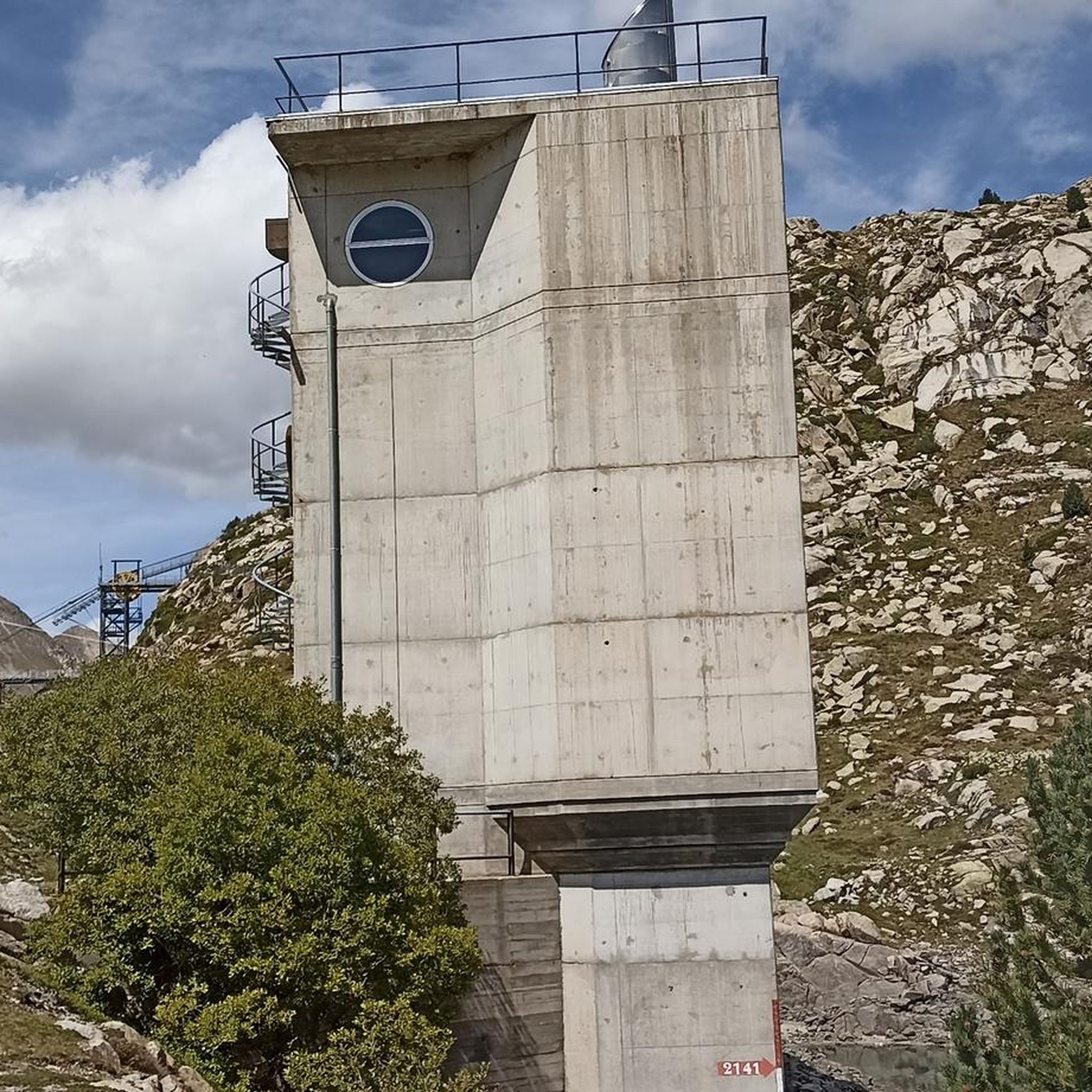
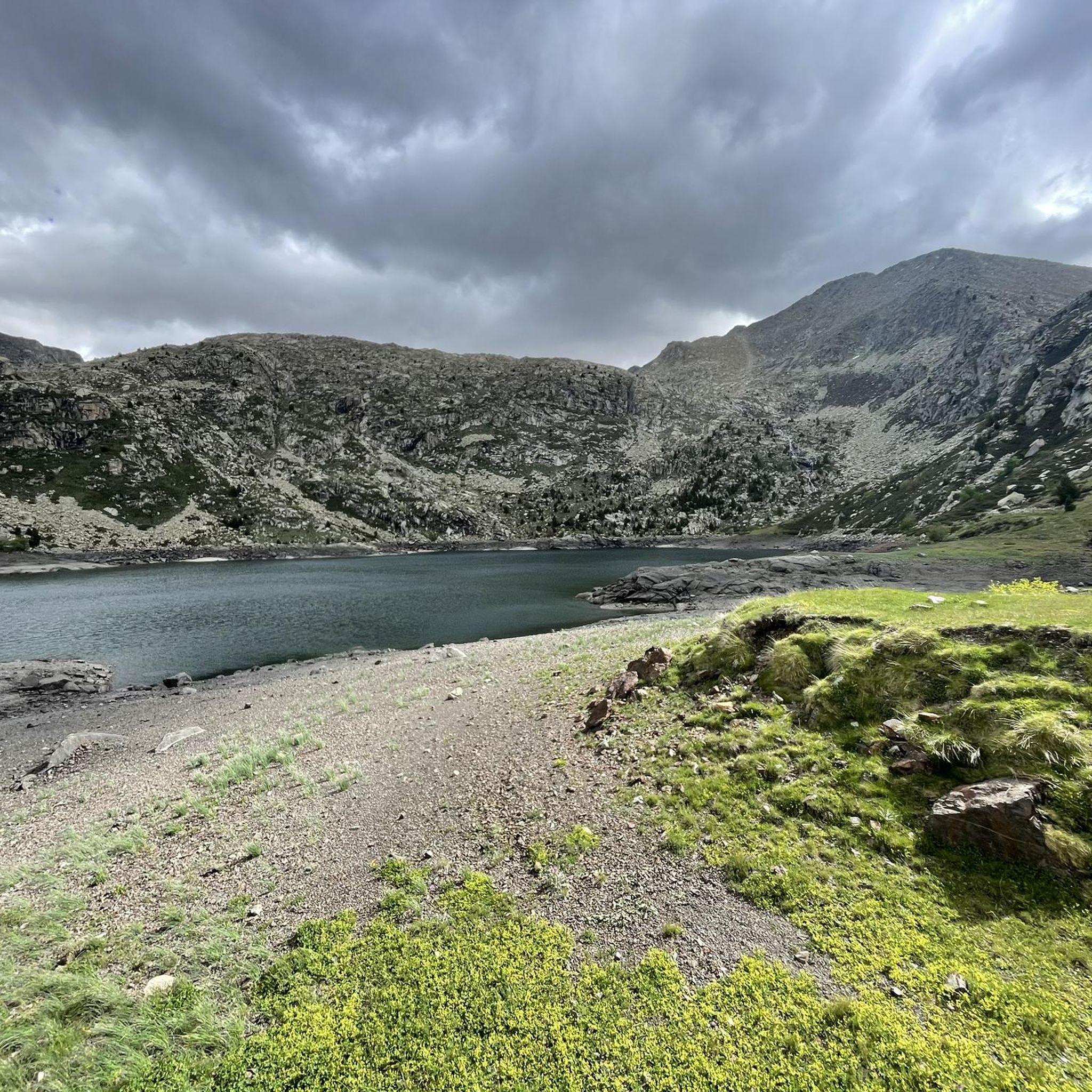
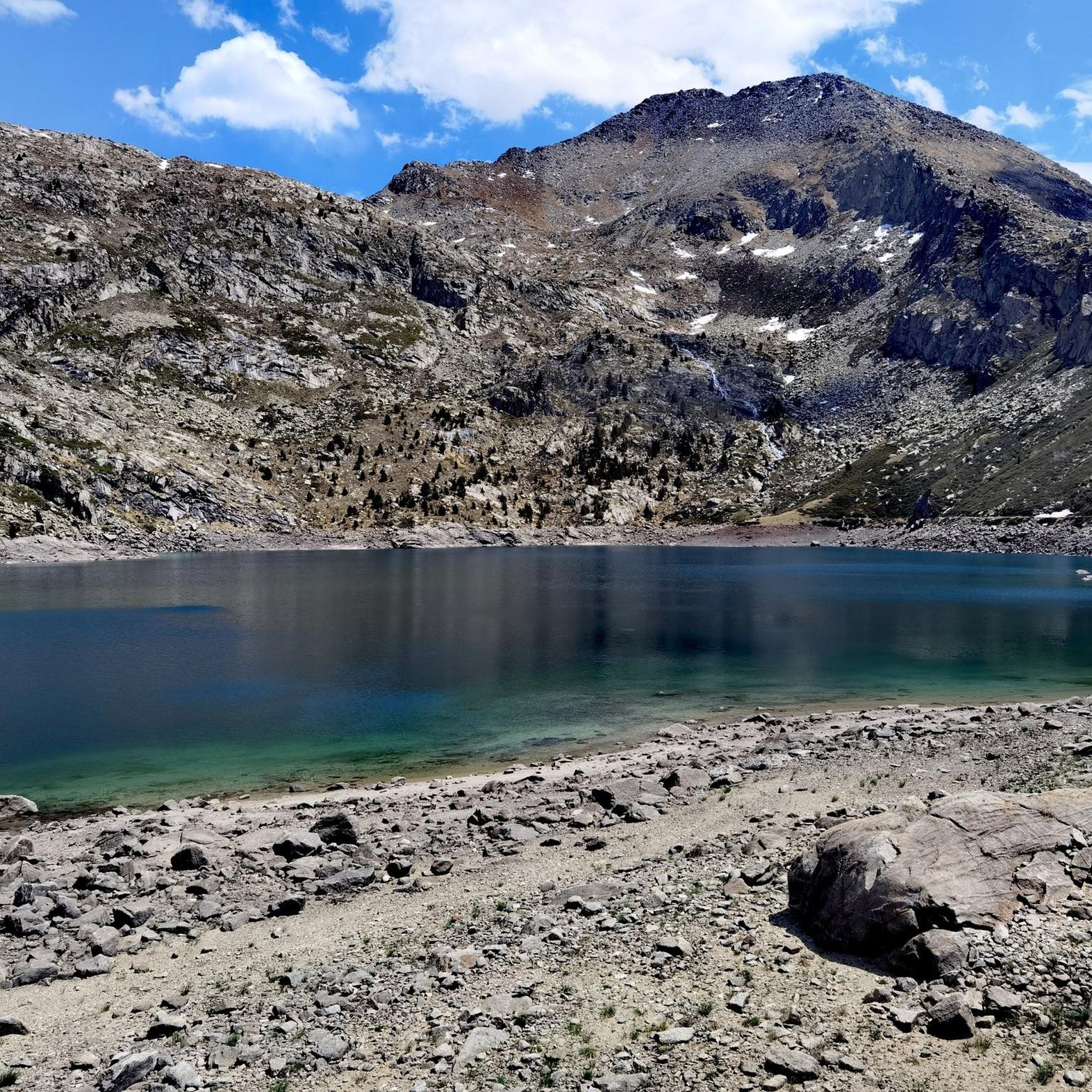

Tips from the Community

A legendary mountain pass that separates the High Pyrenees Natural Park from the Aigüestortes and Lake of Saint-Maurice National Park. It can be climbed from both valleys.
0
0

The Colomina refuge is located at an altitude of 2,425 metres, at the head of the Vall Fosca, next to the lake of the same name. It has 40 places to stay overnight, hot showers and food service, always subject to reservation.
0
0

Attention! This cable car is not suitable for people with walking difficulties as there are about 80 steep steps to climb!
0
0

The arrival from Llavorsí is amazing, long but beautiful; the descent to Espiu is almost 30 turns and is even more beautiful than being at the top. I don't want to think about what it must be like to go up there, in some areas the road surface is somewhat broken.
0
1

Exceptional views over the endless mountain ranges of the high Pyrenees
0
0

The path is rocky but can be done well. The color of the water is impressive and it is worth stopping for a moment and contemplating the wonderful landscape.
1
0
A lake of glacial origin that is located at an altitude of 2,429 meters. It is the largest and deepest in the Val d'Aran.
1
0

Great waterfall (but only one of many) with a natural pool in front, which is also good for cooling off
0
0
Frequently Asked Questions
What is the general difficulty level of running routes around Estany Gento?
The running routes around Estany Gento are primarily designed for experienced runners. All 14 routes listed in this guide are rated as difficult, featuring significant elevation gains and challenging mountainous terrain. There are no easy or moderate routes available in this selection.
Are there any circular running routes in the Estany Gento area?
Yes, several circular running routes are available. For instance, the Colomina Refuge – Estany de la Colomina loop from Estany Gento is a challenging 10.1-mile (16.2 km) loop offering extensive mountain scenery and passing by alpine lakes. Another option is the Lago Gento loop from Embassament de Sallente, a 3.9-mile (6.2 km) trail through mountainous terrain.
What kind of natural features and landscapes can I expect to see while jogging here?
Jogging around Estany Gento offers breathtaking views of a high-altitude glacial landscape. You'll encounter numerous alpine lakes, such as Estany Gento and Lago Gento, impressive mountain vistas, and varied terrain that ranges from accessible paths to more challenging sections. The region is part of the Aigüestortes i Estany de Sant Maurici National Park, ensuring stunning natural beauty.
Are there any specific landmarks or points of interest along the running trails?
Yes, the routes often pass by significant natural features and points of interest. For example, the Colomina Refuge – Estany de la Colomina loop takes you past the Refugi Colomina and the beautiful Estany de la Colomina. Many trails also offer views of the glacial Lago Gento and sections of the renowned Carros de Foc Trail.
What do other runners say about the jogging experience in Estany Gento?
The komoot community highly rates the jogging experience around Estany Gento, with an average score of 3.3 stars from 3 reviews. Over 200 runners have explored these trails, often praising the challenging mountainous environment, the stunning glacial lakes, and the rewarding views that make for a memorable high-altitude running adventure.
Can I bring my dog on the running trails around Estany Gento?
While the guide does not specify dog-friendly routes, the Estany Gento area is within or near the Aigüestortes i Estany de Sant Maurici National Park. It's crucial to check the specific regulations of the park and any local restrictions regarding dogs on trails, especially concerning protected wildlife and livestock. Always keep dogs on a leash where required.
Are there any options for family-friendly jogging or shorter, easier routes?
The routes highlighted in this guide are all rated as difficult, indicating they are more suitable for experienced runners due to significant elevation changes and challenging terrain. For easier options, the Vía Verde de La Vall Fosca passes by Estany Gento, which might offer flatter, more accessible sections suitable for families or those seeking a less strenuous jog. However, these specific routes are not detailed in this guide.
What is the best time of year to go jogging in Estany Gento?
Given its high-altitude setting and glacial origin, the best time for jogging in Estany Gento is typically during the warmer months, from late spring to early autumn. During winter, trails may be covered in snow and ice, requiring specialized equipment and experience. Always check local weather conditions and trail status before heading out.
How long do the running routes typically take to complete?
The duration varies depending on the route and your fitness level. For example, the Estany Gento Carrilet Trail, which is 6.8 miles (11.0 km) long, typically takes about 1 hour 51 minutes. Longer routes like the Tossal de Rus – Tossal de Paiasso loop, at 17.8 km, can take over 3.5 hours due to significant elevation gains.
Is there parking available near the starting points of the running routes?
While specific parking locations for each route are not detailed in this guide, the presence of an information point near Estany Gento suggests that there are likely designated parking areas for visitors accessing the trails. It's advisable to research parking options for your chosen starting point in advance, especially during peak seasons.
Can I reach the Estany Gento running trails using public transport?
The guide does not provide specific information on public transport access to the trailheads around Estany Gento. Given its high-altitude, somewhat remote location within the Vall Fosca, public transport options might be limited. It is recommended to check local bus schedules or consider private transport for reaching the starting points of these mountain routes.
Are there any opportunities for wild swimming near the jogging routes?
The Estany Gento region is characterized by numerous glacial lakes, such as Estany Gento and Lago Gento. While these offer picturesque backdrops, specific information about designated or safe wild swimming spots along the jogging routes is not provided. Always exercise caution and be aware of water temperatures and regulations if considering swimming in alpine lakes.
Most popular routes around Estany Gento

Get inspired with the komoot mobile app


Explore more
Browse the best Running Trails & Routes in other regions.
