The best walks and hikes around Duburren
4.4
(87)
758
hikers
54
hikes
Hiking around Duburren takes place within the Ring of Gullion, an Area of Outstanding Natural Beauty defined by its volcanic geology. The landscape is characterized by rolling hills, forest parks, and open moorland, with Slieve Gullion as its central peak. The network of trails offers a mix of lakeside paths, moderate hill climbs, and shorter summit loops.
Best hiking trails around Duburren
- The most popular hiking route is Camlough Mountain & Lake loop — Ring of Gullion, a 6.1…
Last updated: June 27, 2026
2
hikers
9.79km
03:02
340m
340m
Moderate hike. Good fitness required. Easily-accessible paths. Suitable for all skill levels.
4
hikers
8.64km
02:44
330m
330m
Moderate hike. Good fitness required. Easily-accessible paths. Suitable for all skill levels.

Sign up for free
5.0
(1)
20
hikers
5.48km
01:40
200m
200m
Easy hike. Great for any fitness level. Easily-accessible paths. Suitable for all skill levels.
5.0
(1)
18
hikers
6.52km
02:06
290m
290m
Moderate hike. Good fitness required. Easily-accessible paths. Suitable for all skill levels.
8
hikers
4.37km
01:42
310m
310m
Moderate hike. Good fitness required. Easily-accessible paths. Suitable for all skill levels.
Get access to more routes and recommendations from other explorers.
Sign up for free
Already have an account?
Our route recommendations are based on thousands of hikes, rides, and runs completed by other people on komoot.
Start today with a free account
Your next adventure awaits.
Login or Signup

Tips from the Community

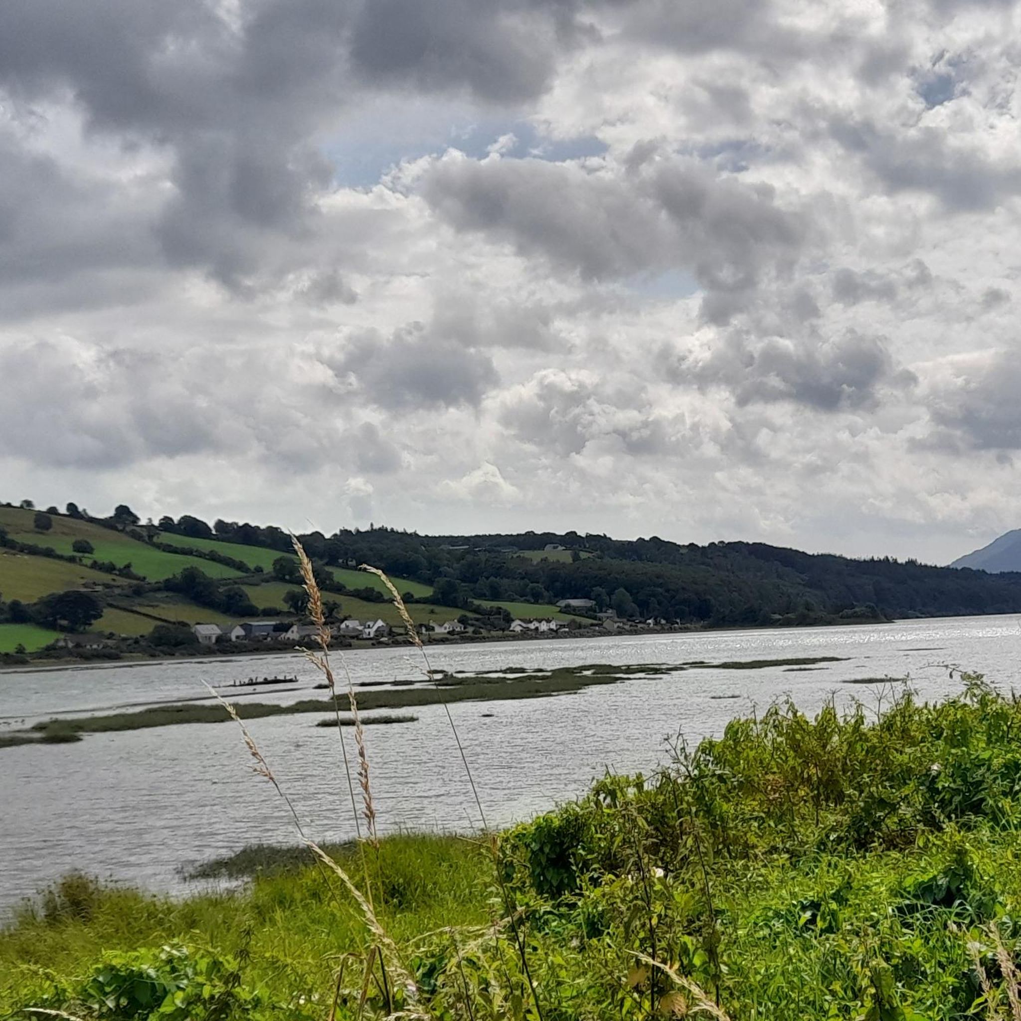
Camlough Lake is a peaceful place where time seems to pass more slowly. As you stroll along the path, the sparkling water stretches out before you, framed by rolling hills and the shade of the surrounding forests. A few curious goats watch you from a meadow, their gaze almost as interested as yours as you enjoy the view. There is not only nature to experience here, but also small amenities - a car park and a picnic area invite you to take a break. The view of the lake, which once served as a reservoir, is a wonderful way to relax. The lake is also a popular destination for anglers who wait patiently for their catch here. A walk around Camlough Lake is a welcome break that simply does you good.
1
0
Gordon's Lane, just a stone's throw south of Camlough, invites you to a quiet journey of discovery. The narrow lane winds gently through the hills and takes you right into the green of the fields. Old stone walls and thorny hedges line the path on either side, while behind every bend you catch a new view of the valley. From up here, Camlough seems almost like a silent model, spreading out in the distance while nature maintains its own rhythm. The path leads you past pastures and you notice how the noise of everyday life quietly fades away. Especially after a rain shower, the asphalt sparkles and the fresh scent of grass is in the air - a little adventure off the beaten track.
1
0
As soon as you cross the gentle ridge of Slieve Gullion, the North Cairn stretches out before you - a slightly smaller hill than its southern neighbour, but no less impressive. The stones that gather here seem like silent sentinels, witnesses of the distant Bronze Age. Two ancient stone boxes were once found here during excavations, which lay hidden in the depths of history. The North Cairn, with its diameter of around 18 metres, invites you to pause for a moment and enjoy the peace. But it is not just the Cairn that is fascinating. Right next to it lies "Calliagh Beara's Lough", a quiet mountain lake that, according to legend, is the home of the witch Beara. On a clear day, the sky is reflected in the calm waters and you can almost feel the ancient magic of this place coming to life. The road here may be rocky, but the landscape rewards with sweeping views and a touch of mysticism that makes Slieve Gullion something special.
1
0


Running along this road next to Camlough Lake is a sensory delight. Additionally, at the southernmost section of the stretch, there's a picnic area with views of the lake where you can rest or even stop for a snack.
0
0
This lough, located between the northern and southern burial cairns of Slieve Gullion, is the highest in Northern Ireland.
0
0
At the heart of the Ring of Gullion AONB, you'll find this beautiful mountain, which represents the highest point in the county with an elevation of 573 meters (1,880 ft). Right next to it there is a burial cairn.
1
0
Along this stretch of road, to the east, you'll have very good views of Camlough Lake. There is also a parking and picnic area. Camlough Lake is a large disused reservoir, also popular for fishing.
1
0
Frequently Asked Questions
Where exactly is the Duburren hiking area?
The hiking trails around Duburren are located within the Ring of Gullion, a designated Area of Outstanding Natural Beauty in County Armagh. The landscape is defined by its unique volcanic geology, with the mountain of Slieve Gullion at its heart.
Are there many circular walks or loop trails available?
Yes, many of the trails in the Duburren area are loops, which makes planning your hike straightforward. For example, the Slieve Gullion Summit – Calliagh Beara Lough loop is a popular choice that takes you to the summit and back without retracing your steps. You'll find numerous other circular routes throughout the Ring of Gullion.
What are some good family-friendly walks in the area?
For an easy and enjoyable walk with family, consider the trails around The Fairy Glen in nearby Rostrevor. It's a highly-regarded spot with a gentle path along a river that's popular with families. The terrain is not too difficult, making it suitable for children.
Can I bring my dog on the trails around Duburren?
Many walkers enjoy the trails with their dogs. The Fairy Glen is a well-known spot for dog walkers, offering paths where they can often get down to the water's edge. As always, please keep your dog under control, especially near livestock, and follow local signage.
What is the terrain like on the hikes?
The terrain is quite varied. You can expect a mix of forest paths, quiet country lanes, open moorland, and some steeper, rocky sections on the way up to summits like Slieve Gullion. The area's volcanic origins have created a landscape of rolling hills and dramatic scenery.
How many hiking trails are there to choose from?
There are over 50 waymarked trails and routes to explore around Duburren and within the wider Ring of Gullion. They range from easy lakeside paths to more challenging hill climbs, offering plenty of options for all fitness levels.
What do other hikers say about the trails in Duburren?
The area is highly rated by the komoot community. Hikers often praise the stunning 360-degree views from the summits, the well-maintained paths in the forest parks, and the unique, myth-steeped atmosphere of the Ring of Gullion.
Are there any difficult or challenging hikes available?
While most trails are rated easy or moderate, you can find more challenging ascents. The climb to the top of Slieve Gullion involves some steep sections with rocks and stepping stones. For a longer, more strenuous day out, the Camlough Mountain from Camlough route offers a significant climb with rewarding views.
Where can I find the best views in the Ring of Gullion?
For spectacular panoramic views, the summit of Slieve Gullion is unmatched, offering a 360-degree vista over the surrounding landscape. Another local favorite for its amazing views over Carlingford Lough is the Slieve Foye Loop.
What is the geology of the Ring of Gullion?
The Ring of Gullion is a unique geological landform known as a ring dyke, formed by volcanic activity around 60 million years ago. Slieve Gullion is the remnant of the central volcano, and the surrounding ring of hills marks the edge of the collapsed caldera. This geology creates the area's distinctive rolling hills and rugged outcrops.
Is it easy to find parking at the trailheads?
Most of the main trailheads, such as those at Slieve Gullion Forest Park, have dedicated car parks. However, these can get busy, especially on weekends and holidays. For less popular routes starting from country lanes, parking may be limited, so it's always a good idea to arrive early.
Most popular routes around Duburren
Most popular attractions around Duburren

Get inspired with the komoot mobile app


Explore more
Browse the best Hikes in other regions.
