The best running trails around Pantà de Riba-roja
4.0
(1)
133
runners
29
runs
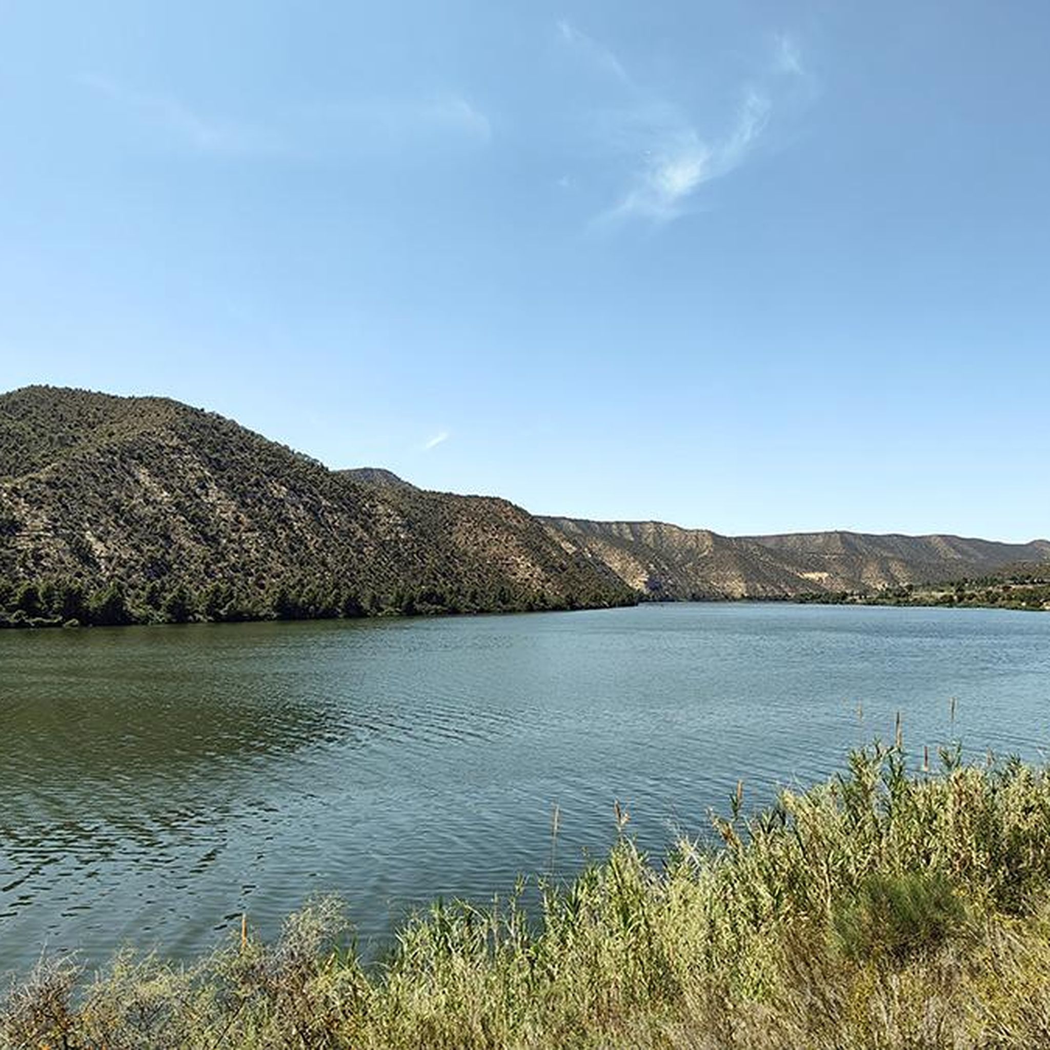
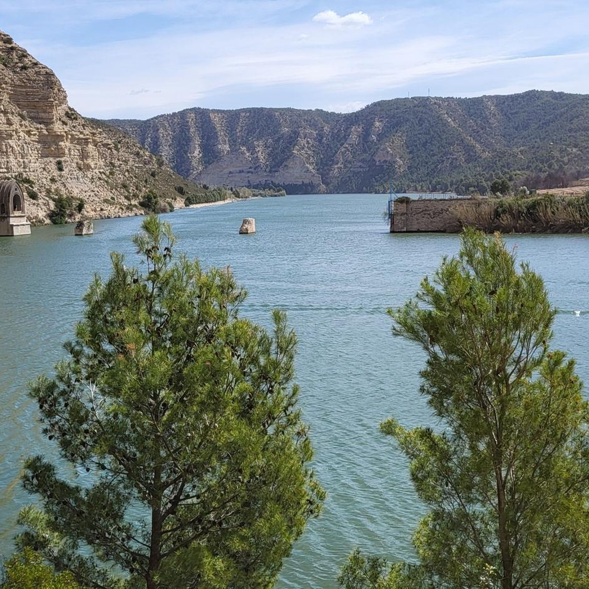
Jogging around Pantà de Riba-roja offers access to a natural environment characterized by the expansive reservoir shores and the Ebro River. The region, stretching from Riba-roja d'Ebre to Mequinenza, provides a serene backdrop for outdoor exercise. Trails around Riba-roja d'Ebre reservoir feature varied terrain, including paths along the water and routes with moderate elevation changes. This area is recognized for its pristine natural beauty within Catalonia's interior.
Best jogging routes around Pantà de Riba-roja
- The most popular jogging route is…
Last updated: July 11, 2026
12
runners
16.0km
01:52
280m
280m
Hard run. Very good fitness required. Mostly paved surfaces. Suitable for all skill levels.
9
runners
4.83km
00:30
20m
20m
Easy run. Great for any fitness level. Mostly paved surfaces. Suitable for all skill levels.

Sign up for free
3
runners
6.70km
00:49
20m
20m
Moderate run. Good fitness required. Mostly paved surfaces. Suitable for all skill levels.
30
runners
17.0km
02:18
560m
560m
Hard run. Very good fitness required. Mostly paved surfaces. Suitable for all skill levels.
6
runners
21.0km
02:48
710m
710m
Hard run. Very good fitness required. Mostly paved surfaces. Suitable for all skill levels.
Get access to more routes and recommendations from other explorers.
Sign up for free
Already have an account?
Our route recommendations are based on thousands of hikes, rides, and runs completed by other people on komoot.
Start today with a free account
Your next adventure awaits.
Login or Signup

Other adventures around Pantà de Riba-roja


Tips from the Community

From this area of the riverbed of the River Segre, you can see some dirty water resulting from the close union of the two rivers, one coming from the Catalan Pyrenees and the other coming from the other end of the Iberian Peninsula .
2
0

The old Mequinenza was a river port at the confluence of the Ebro, Segre and Cinca rivers. This confluence is one of the largest in Europe. The town has a Muslim origin, although there are remains of other cultures.
0
0

This bridge allows you access to the municipality of Mequinenza, if you come from the east. Before crossing it you can contemplate the imposing castle located at the highest point of the municipality.
0
0

We are in the Old Town of Mequinenza with views of the Mequinenza Castle, a Gothic castle-palace from the late 14th and early 15th centuries located on a hill at an altitude of 185 meters, being a strategic place that offers a spectacular panoramic view of the confluence from the waters of the Segre, Cinca and Ebro rivers. Currently, the Castle and its surroundings are private property of the Endesa Foundation. (that is why we will not be able to approach with the bicycle) More information to book guided tours: museosdemequinenza.com/castillo-de-mequinenza
2
0
Impressive views of the bridge and the Matarraña River from the Sierra de Les Fites
1
0
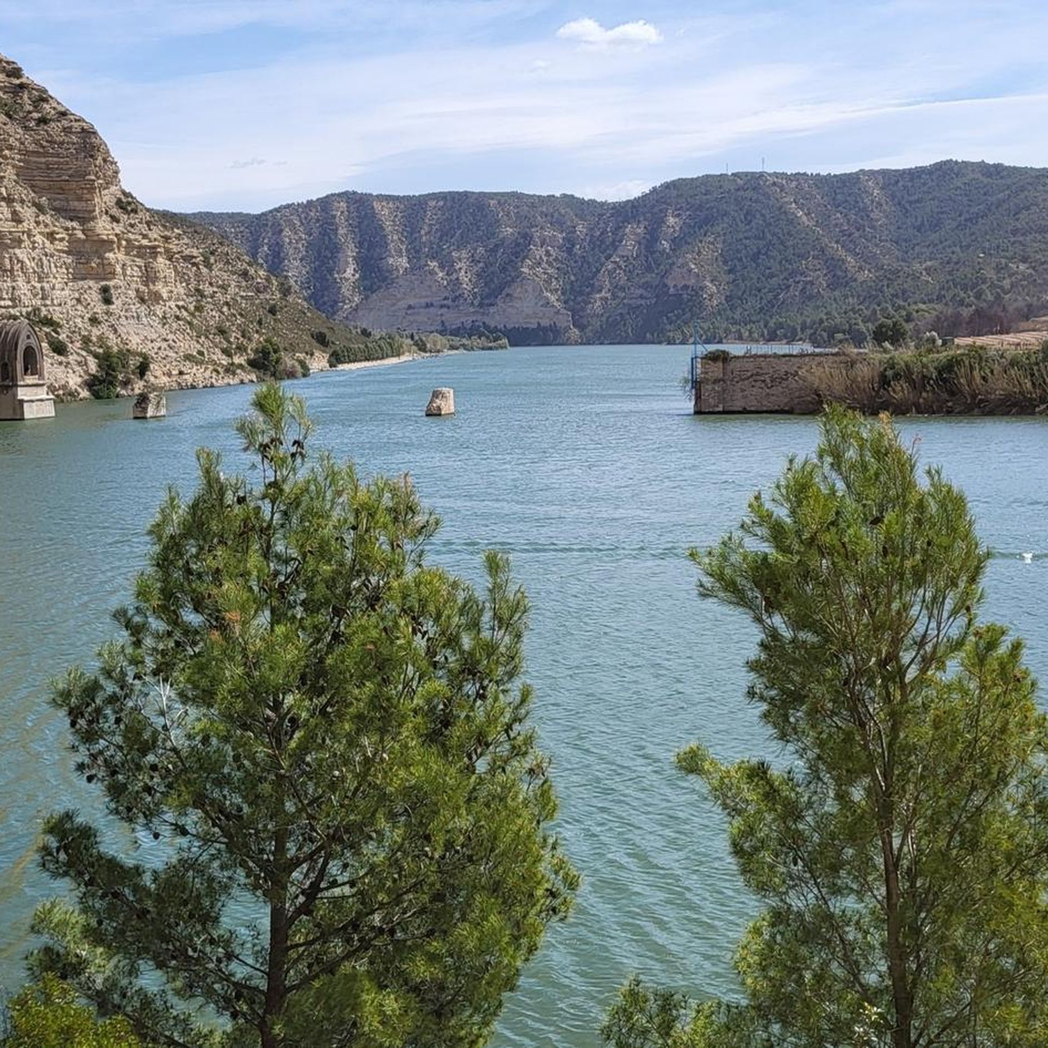
Views of the Maquinença and Ribaroja swamp
0
0

Remains of the old town, depopulated in the 60's after the construction of the say. The museum and the hostel next to it are only open on weekends.
0
0
Frequently Asked Questions
How many running routes are available around Pantà de Riba-roja?
There are 19 dedicated running routes around Pantà de Riba-roja, offering a variety of distances and difficulty levels to explore the reservoir's natural environment.
Are there running routes suitable for beginners or those looking for an easy jog?
Yes, Pantà de Riba-roja offers 4 easy running routes. These paths are generally less demanding, perfect for a relaxed jog or for those new to trail running. One popular option is La Badina loop from Massalcoreig, which is a moderate 6.7 km trail.
What kind of terrain can I expect on the jogging trails around Pantà de Riba-roja?
The jogging trails around Pantà de Riba-roja feature varied terrain, including paths along the extensive reservoir shores and the Ebro River. You'll find routes with moderate elevation changes, offering a mix of flat sections and gentle climbs through a pristine natural environment.
Are there any challenging running routes for experienced runners?
Absolutely. For experienced runners seeking a challenge, there are 7 difficult routes available. These often feature significant elevation changes and longer distances, providing panoramic views. An example is View of the Matarraña River loop from la Pobla de Massaluca, a demanding 17.0 km path.
Can I find circular running routes in the Pantà de Riba-roja area?
Yes, many of the running routes around Pantà de Riba-roja are circular, allowing you to start and finish at the same point. This is convenient for exploring the diverse landscapes without needing to retrace your steps. The region research mentions circular routes like 'Aiguabarreig and Castillo de Mequinenza' and 'Sierra Campells'.
Are there any historical landmarks or interesting sights to see while jogging?
Yes, the area around Pantà de Riba-roja is rich in historical landmarks. You can incorporate sights like the Old Church Tower of Fayón or the Old Village of Mequinenza into your run. Some routes also pass by the Bridge over the Ebro in Mequinenza, offering scenic views.
Are the jogging trails around Pantà de Riba-roja suitable for families?
Many trails around Pantà de Riba-roja are suitable for families, especially the easier and moderate routes with less elevation gain. These paths offer a great way to enjoy the natural beauty of the reservoir together. Always check the route details for distance and difficulty to ensure it matches your family's fitness level.
Can I bring my dog on the running trails in Pantà de Riba-roja?
Generally, dogs are welcome on many of the outdoor trails in the Pantà de Riba-roja region. However, it's always recommended to keep your dog on a leash, especially in areas with wildlife or near private property, and to clean up after them. Check local signage for any specific restrictions.
What is the best time of year for jogging in Pantà de Riba-roja?
The spring and autumn months are generally ideal for jogging in Pantà de Riba-roja. The weather is milder, and the natural scenery is particularly vibrant. Summer can be quite hot, so early morning or late evening runs are advisable during those months. Winters are typically mild, making it possible to run year-round.
Are there places to park near the running routes in Pantà de Riba-roja?
Yes, many of the trailheads and starting points for running routes around Pantà de Riba-roja have designated parking areas. It's advisable to check the specific route details on komoot for information on parking availability at the start of your chosen trail.
What do other runners enjoy most about jogging in Pantà de Riba-roja?
The komoot community highly rates the running experience in Pantà de Riba-roja, with an average score of 4.0 stars. Runners often praise the serene natural environment, the extensive reservoir shores, and the varied terrain that offers both easy paths and challenging routes with beautiful views.
Are there any longer running routes for endurance training?
Yes, for those looking for longer distances, routes like Mirador David Duaigües loop from Almatret cover 20.8 km, and Pou de la Vila – Almatret loop from Almatret is 12.9 km. These routes provide significant mileage and elevation, suitable for endurance training.
Most popular routes around Pantà de Riba-roja
Most popular attractions around Pantà de Riba-roja

Get inspired with the komoot mobile app


Explore more
Browse the best Running Trails & Routes in other regions.
