The best cycling routes around Slieve Gullion
4.7
(38)
503
riders
17
rides
Touring cycling routes around Slieve Gullion traverse a unique volcanic landscape within the Ring of Gullion Area of Outstanding Natural Beauty. The region features varied terrain, including volcanic hills, dense woodland slopes, and serene rural valleys. Slieve Gullion itself is a prominent mountain, reaching 1,880 feet (573 meters), offering panoramic views on clear days. Cyclists can expect routes that navigate ancient stone paths and lush forests.
Best touring cycling routes around Slieve Gullion
- The most popular touring cycling route is Giant's Lair – View of Slieve Gullion loop from Meigh, a 11.6 miles (18.7 km) trail that takes 1 hour 33 minutes to complete. This moderate route offers views of Slieve Gullion.
- Another top favourite among local touring cyclists is Camlough Lake loop from Camlough, a moderate 12.4 miles (19.9 km) path. This route circles Camlough Lake, providing scenic waterside views.
- Local touring cyclists also love the Ravensdale Creek – Ruins in Ravensdale Forest loop from Drumnasillagh, a 12.4 miles (20.0 km) trail leading through Ravensdale Forest and past historical ruins, often completed in about 2 hours 5 minutes.
- Touring cycling around Slieve Gullion is defined by volcanic hills, dense forests, and rural valleys. The network offers options for both moderate and more challenging routes with significant elevation gains.
- The routes in Slieve Gullion are highly rated by the komoot community with an average score of 4.7 stars from over 20 reviews. More than 400 touring cyclists have used komoot to explore Slieve Gullion's varied terrain.
Last updated: October 5, 2026
5.0
(12)
43
riders
18.2km
01:30
430m
430m
Moderate bike ride. Good fitness required. Mostly paved surfaces. Suitable for all skill levels.
44
riders
19.0km
01:11
180m
190m
Moderate bike ride. Good fitness required. Mostly paved surfaces. Suitable for all skill levels.

29
riders
19.6km
02:03
520m
520m
Hard bike ride. Very good fitness required. Mostly paved surfaces. Suitable for all skill levels.
8
riders
42.1km
02:55
720m
720m
Hard bike ride. Very good fitness required. Mostly paved surfaces. Suitable for all skill levels.
9
riders
54.2km
03:13
290m
290m
Moderate bike ride. Good fitness required. Mostly paved surfaces. Suitable for all skill levels.
Get access to more routes and recommendations from other explorers.
Already have an account?
Our route recommendations are based on thousands of hikes, rides, and runs completed by other people on komoot.
Start today with a free account
Your next adventure awaits.
Tips from the Community

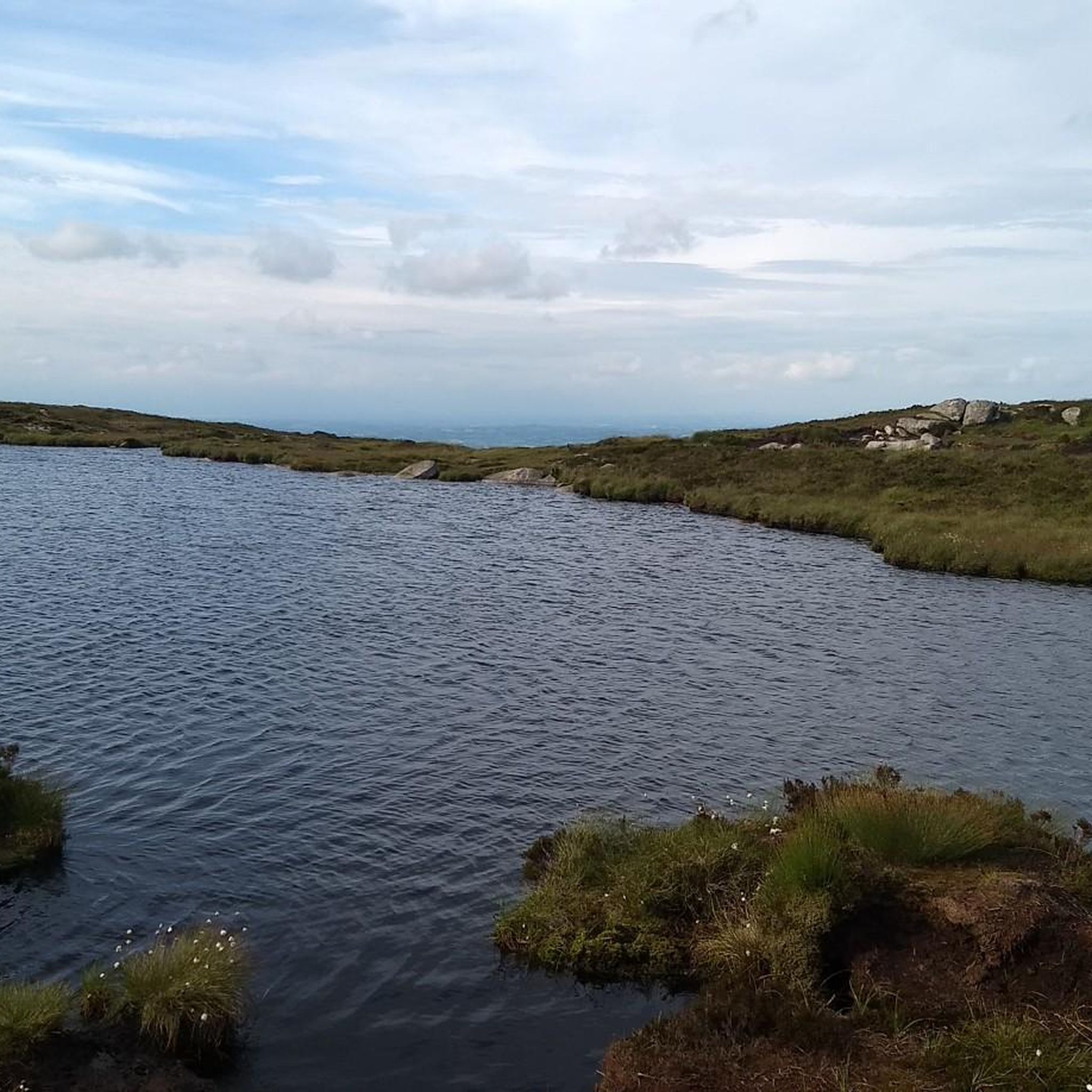
The picnic spot on the Ryland River and Clermont Pass is a great place to stop and take in the views, it's also one of the start points for a walk up to the summit.
0
0

Taaffes Castle (2026-08-07): https://taaffescastle.com/ TRIPADVISOR (Taaffes Castle Bar, 2026-08-07): https://www.tripadvisor.ie/Restaurant_Review-g315880-d2223151-Reviews-Taaffes_Castle_Bar-Carlingford_Cooley_Peninsula_County_Louth.html
1
0

As you leave the Cooley peninsula, you will pass the characteristic Rampark Farmhouse, a beautiful example of a traditional Irish farmhouse that has stood the test of time. This historic whitewashed property, with its thick walls and classic layout, reflects the deep agricultural roots of this region, where generations of farming families have worked the land around the foothills of the mountains.
6
2
Remains of the medieval Dominican priory on the west side of Carlingford, recognisable by its high, narrow windows and the elongated ruin wing in grey stone. The site lies quietly just outside the centre, with views of the hills and the open grass around the old priory walls.
5
1
The Tholsel is undoubtedly one of the most unique structures in the heart of Carlingford. This medieval city gate, originally built in the 15th century, is the only remaining gate from the original town wall and served for centuries as the ceremonial and administrative entrance to the town.
6
2
The former Carlingford Railway Station is a beautifully preserved reminder of the time when the steam train was the lifeblood of the Cooley Peninsula. The station was once an important stop on the Dundalk, Newry & Greenore Railway (DN&GR) line, opened in 1873 and closed in 1951.
6
2

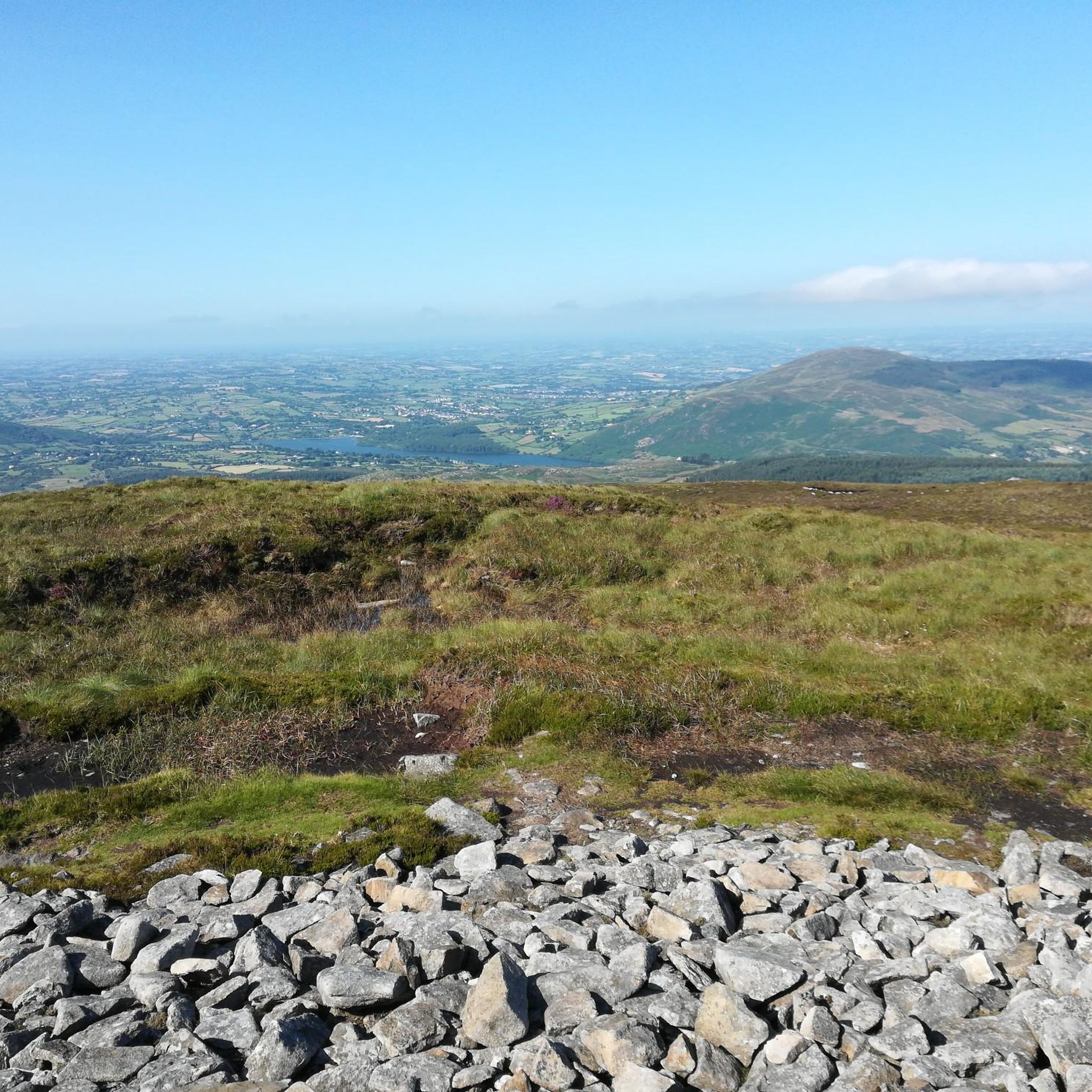
This is a spectacular viewpoint just to the north of Clermont Carn's true summit, which is somewhat less attractive due to its transmission site. The summit is also home to an ancient burial site. Looking north, you can see into Northern Ireland and across towards the Mourne Mountains.
1
0
Frequently Asked Questions
How many touring cycling routes are available around Slieve Gullion?
There are 18 touring cycling routes available around Slieve Gullion, catering to various skill levels. You'll find 10 moderate routes and 8 more challenging options with significant elevation gains.
What kind of terrain can I expect on touring cycling routes in Slieve Gullion?
The terrain around Slieve Gullion is quite varied, reflecting its unique volcanic landscape. You can expect to cycle through volcanic hills, lush woodland slopes, and serene rural valleys. Routes may include dense forests, ancient stone paths, and quiet country lanes, with some segments being unpaved and requiring good fitness.
Are there any family-friendly touring cycling routes in the Slieve Gullion area?
While many routes involve varied terrain and elevation, the Camlough Lake loop from Camlough is a moderate option that circles Camlough Lake, offering scenic waterside views. For a gentler experience, the Newry Canal Linear Route (which connects to Slieve Gullion from Newry) provides a flat, mostly traffic-free towpath suitable for casual cyclists.
What are some notable landmarks or natural features I can see while cycling around Slieve Gullion?
Cyclists can enjoy a wealth of natural beauty and historical sites. You might encounter ancient burial cairns, such as the Neolithic passage tomb on the Slieve Gullion Summit, offering panoramic views. Other highlights include the tranquil Camlough Lake and the mythical Calliagh Beara's Lough. The Ravensdale Creek – Ruins in Ravensdale Forest loop from Drumnasillagh also passes historical ruins.
Are there any circular touring cycling routes around Slieve Gullion?
Yes, many routes are designed as loops. For example, the Giant's Lair – View of Slieve Gullion loop from Meigh offers views of Slieve Gullion, and the Camlough Lake loop from Camlough circles the lake. The broader 'Ring of Gullion Cycling Routes' also includes circular options that showcase the AONB.
What is the best time of year to go touring cycling in Slieve Gullion?
Slieve Gullion offers beautiful scenery year-round, but spring and summer typically provide the most pleasant cycling conditions with milder weather and longer daylight hours. On clear days, you'll be rewarded with panoramic views stretching across southern Armagh, the Mourne Mountains, and Carlingford Lough. Be prepared for varied weather, as conditions can change quickly in mountainous regions.
Where can I find parking for touring cycling routes in Slieve Gullion?
Parking is generally available at trailheads and popular starting points, such as those near Slieve Gullion Forest Park. When parking at mountain car parks, it's advisable to be mindful of personal belongings. Specific parking details can often be found on individual route descriptions.
What do other touring cyclists enjoy most about cycling in Slieve Gullion?
The touring cycling routes around Slieve Gullion are highly rated by the komoot community, with an average score of 4.7 stars from over 20 reviews. Cyclists often praise the unique volcanic landscape, the diverse terrain from dense woodlands to serene valleys, and the panoramic views available on clear days. The blend of challenging and leisurely options is also frequently highlighted.
Are there any cafes or pubs near the touring cycling routes in Slieve Gullion?
Yes, you can find amenities in the villages and towns surrounding Slieve Gullion. Slieve Gullion Forest Park itself has a courtyard with a coffee shop. Additionally, routes like the Rampark Thatched Farmhouse – Lily Finnegan's loop from Jonesborough might pass by local establishments, offering opportunities for refreshments.
Are there options for less strenuous touring cycling in Slieve Gullion?
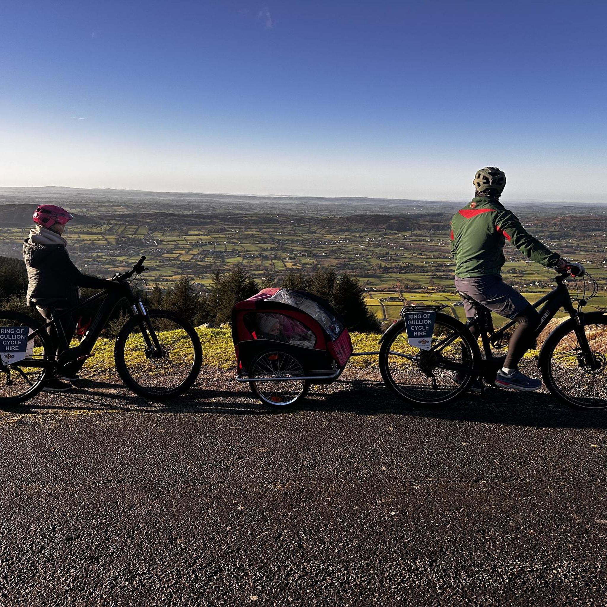
For those seeking a less strenuous experience, electric bike tours are available in the region, allowing visitors to explore the scenic trails with less effort. Additionally, the Newry Canal Linear Route offers a flat, traffic-free path, which is ideal for a more relaxed ride. Some of the moderate komoot routes, like the Camlough Lake loop from Camlough, also provide enjoyable rides without extreme difficulty.
Can I access Slieve Gullion's cycling routes using public transport?
While direct public transport to every trailhead might be limited, the Newry Canal Linear Route, which is part of the National Cycle Network Route 9, connects to Slieve Gullion from Newry. This offers a way to reach the broader area via public transport to Newry and then cycle onwards.
Are there any particularly challenging touring cycling routes in Slieve Gullion?
Yes, Slieve Gullion offers several challenging routes with significant elevation gains. For instance, the Ravensdale Creek – Ruins in Ravensdale Forest loop from Drumnasillagh is rated as difficult, covering 20 km with over 500 meters of elevation gain. Another difficult option is the Faughart Old Graveyard – View of Carlingford Lough loop from Ballymascanlan, which is over 41 km with nearly 700 meters of ascent.
Most popular attractions around Slieve Gullion

Get inspired with the komoot mobile app


Explore more
Browse the best Cycling routes in other regions.
