The best road cycling routes around Latbirget
4.0
(14)
1,204
riders
22
rides
Road cycling routes around Latbirget are situated within County Armagh, Northern Ireland, benefiting from proximity to the Ring of Gullion Area of Outstanding Natural Beauty. The region features a varied landscape of hills, valleys, and quiet country roads, providing diverse terrain for road cyclists. Routes often traverse scenic areas with natural vistas, offering a mix of moderate climbs and flatter sections. This area is characterized by its unique geological and historical landscape, making it suitable for exploring on two wheels.
…Last updated: September 30, 2026
4.5
(4)
96
riders
37.6km
01:32
160m
160m
Easy road ride. Great for any fitness level. Mostly well-paved surfaces and easy to ride.
23
riders
Moderate road ride. Good fitness required. Mostly well-paved surfaces and easy to ride.

26
riders
54.7km
02:28
590m
590m
Moderate road ride. Good fitness required. Mostly well-paved surfaces and easy to ride.
18
riders
47.5km
02:05
480m
480m
Moderate road ride. Good fitness required. Mostly well-paved surfaces and easy to ride.
22
riders
46.7km
02:07
450m
450m
Moderate road ride. Good fitness required. Mostly well-paved surfaces and easy to ride.
Get access to more routes and recommendations from other explorers.
Already have an account?
Our route recommendations are based on thousands of hikes, rides, and runs completed by other people on komoot.
Start today with a free account
Your next adventure awaits.
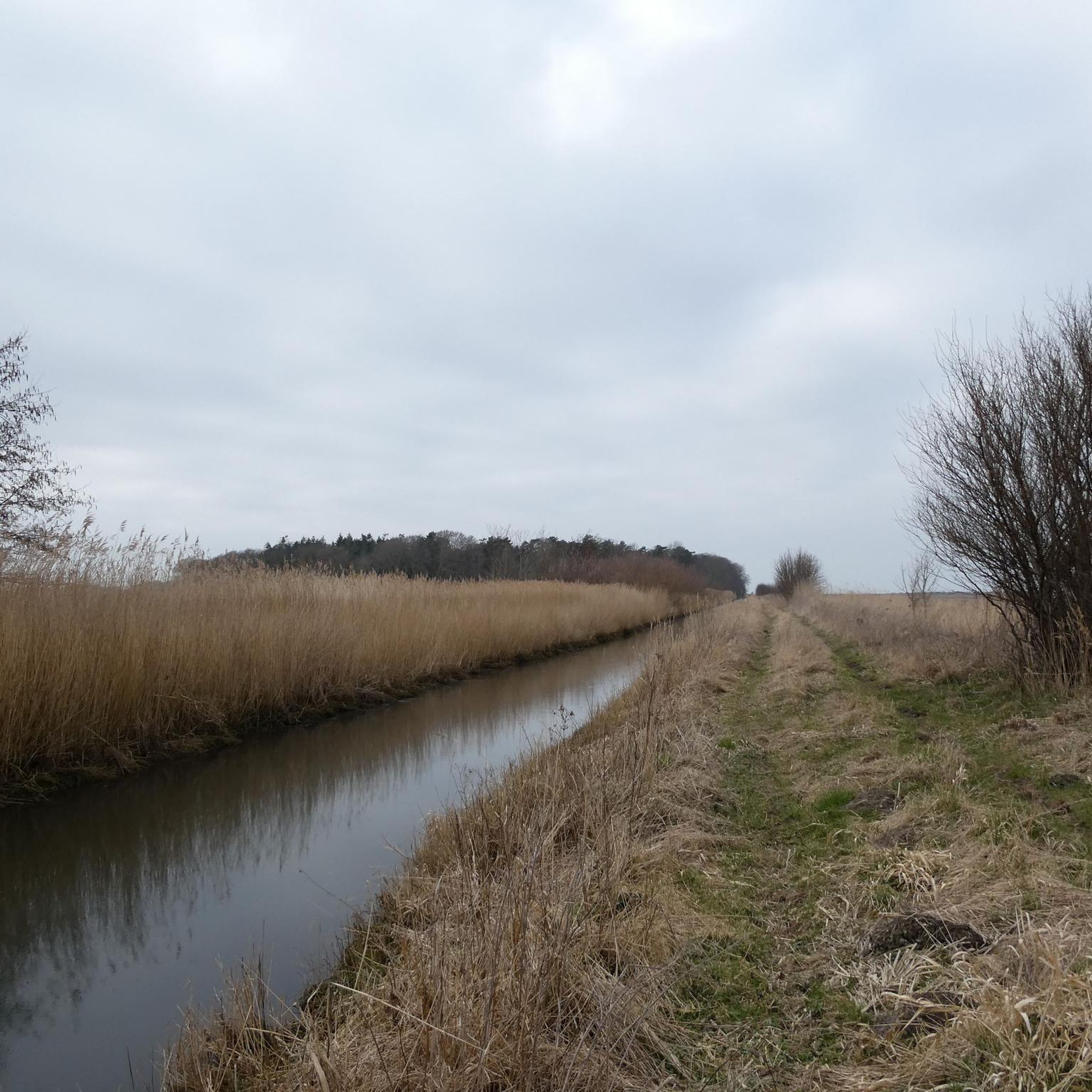


Tips from the Community


Cashel Crossroads is a rural junction located in the townland of Cashel (An Caiseal) within the Ring of Gullion hills in South Armagh, roughly 2.5 km west-south-west of Mullaghbawn and 2.5 km north-north-west of Silverbridge. The intersection connects Cashel Road with Lough Road and Planting Road, and it is known locally for traditional outdoor céilí and crossroads dance events
0
0


chance to see statue of Newry born , first manager of Celtic F.C.
0
0

Saint Patrick and Saint Colman's Cathedral is the architectural jewel of Newry and one of Ireland's most impressive Neo-Gothic structures. Construction began in 1825, and upon its completion in 1829, the cathedral made history as the first Catholic cathedral to open in Ireland following the repeal of the penal laws (Catholic Emancipation). Built from local granite from the nearby Mourne Mountains, this edifice exudes a robust yet elegant power. The cathedral is world-renowned for its fabulous interior: the walls and ceiling are adorned with colourful mosaics, meticulously applied by hand by Italian master craftsmen in the early 20th century. For the cyclist, this is not only a visual highlight along the route but also a place of serene tranquility. Its detailed stained-glass windows and monumental tower make it one of the city's most photographed locations and a worthy endpoint (or starting point) for your tour along the Newry Canal Towpath.
6
0
As you enter Newry via the canal route, you are greeted by an impressive tribute to the fallen: the Newry War Memorial, marked by an authentic 25-pounder gun. This artillery piece, an icon of World War II, symbolizes the courage and sacrifice of the local people during global conflicts. The Gun: It is an Ordnance QF 25-pounder, the main British field gun of World War II, known for its versatility and mobility.
6
0
The Crack Bridge, also known as Fearon’s Bridge, is one of the most characteristic stone arch bridges over the Newry Canal. This historic structure is located on a beautiful, secluded section of the towpath between Poyntzpass and Jerrettspass. This robust, semi-circular arch bridge from the 18th century is built from locally quarried stone and forms an iconic image along the Newry Canal Towpath. The bridge was originally built to give local farmers and their livestock access to the farmlands on both sides of the canal without hindering navigation.
7
0
Between the rustling trees along the Newry Canal Towpath, you'll encounter the tranquil ruin of a lock keeper's cottage. Once, this was the proud and bustling heart of the waterway, where the lock keeper stood ready day and night to operate the heavy wooden canal gates for passing barges. Today, only the robust stone walls remain, slowly being reclaimed by nature.
6
0
Frequently Asked Questions
How many road cycling routes are available around Latbirget?
There are over 20 road cycling routes around Latbirget, offering a diverse range of experiences for cyclists. These routes are highly rated by the komoot community, with an average score of 4.1 stars.
What is the typical terrain like for road cycling in the Latbirget area?
The Latbirget area, situated near the Ring of Gullion Area of Outstanding Natural Beauty, offers a varied landscape for road cycling. You can expect a mix of quiet country roads, rolling hills, and valleys. Routes often feature moderate climbs, with some sections providing more significant elevation gains, especially within the scenic Ring of Gullion.
Are there road cycling routes suitable for beginners or those looking for an easier ride?
Yes, while many routes offer moderate challenges, there are options for easier rides. The region includes sections like the Newry Canal Way, which provides a gentler, mostly flat, and traffic-free experience along a towpath. One such route is the Newry Canal Path – Newry Canal Towpath loop from Bessbrook, which has a relatively gentle elevation gain.
What scenic viewpoints or landmarks can I expect to see on road cycling routes?
Road cycling routes around Latbirget often pass through areas with breathtaking views. You can expect vistas of the Slieve Gullion mountain and the South Armagh countryside. Notable landmarks and natural features include the Slieve Gullion Summit, Camlough Lake, and the North Cairn of Slieve Gullion, all offering picturesque stops along your ride.
Are there challenging road cycling routes with significant climbs near Latbirget?
Absolutely. For cyclists seeking a challenge, the Ring of Gullion offers routes with more significant climbs and varied terrain. For instance, the Ring of Gullion Cycle Tours – Newry Ship Canal Fountain loop from Silverbridge features over 600 meters of elevation gain, providing a demanding yet rewarding experience through the area's unique geological landscape.
Are there any circular road cycling routes available around Latbirget?
Yes, many of the road cycling routes around Latbirget are designed as loops, allowing you to start and finish at the same point. Examples include the popular Killeavy Wood Road – Ring of Gullion Cycle Tours loop from Newtowncloghoge, which takes you through the scenic Ring of Gullion, and the Killevy Churches Ruins loop from Camlough Lake.
What is the best time of year for road cycling in the Latbirget area?
The region is generally suitable for road cycling from spring through autumn, when the weather is milder and the natural beauty of the Ring of Gullion is at its peak. While specific seasonal details can vary, these months typically offer the most pleasant conditions for exploring the quiet country roads and scenic vistas.
Are there any family-friendly road cycling options near Latbirget?
For families or those preferring a more relaxed pace, the Newry Canal Way offers a gentler, mostly flat, and traffic-free cycling experience. This type of route is ideal for a leisurely ride, allowing everyone to enjoy the scenic countryside without significant challenges.
What do other road cyclists enjoy most about the Latbirget area?
The Latbirget area is highly rated by the komoot community, with an average score of 4.1 stars from over 20 reviews. Cyclists often praise the varied terrain, the expansive scenery of the Ring of Gullion, and the quiet country roads that define the region, making it an appealing destination for exploring on two wheels.
Where can I find parking for road cycling routes around Latbirget?
While specific parking details for each trailhead are best checked on individual route pages, many routes in the Latbirget area, particularly those starting from towns or villages like Bessbrook or Silverbridge, will have public parking options available nearby. It's advisable to check the starting point of your chosen route for the most convenient parking.
Are there any routes that combine natural beauty with cultural insights?
Yes, the wider County Armagh area, including routes near Latbirget, often passes through or near historical and archaeological sites. For example, 'The Poets' Trail - Creggan Loop' is mentioned as combining natural beauty with cultural insights, offering a richer experience beyond just the ride.
Most popular routes around Latbirget
Most popular attractions around Latbirget

Get inspired with the komoot mobile app


Explore more
Browse the best Road cycling routes in other regions.
