The best walks and hikes around Commons
4.3
(123)
932
hikers
61
hikes
Hiking around Commons features a diverse landscape, including wooded areas, river paths, and greenways. The region encompasses parts of the Ring of Gullion, an area known for its volcanic hills and natural beauty. Trails often follow waterways like the Newry River and traverse parklands, offering varied terrain for outdoor activities. The area provides opportunities for exploring both natural and managed green spaces.
Best hiking trails around Commons
- The most popular hiking route is Fathom Wood loop — Ring of Gullion…
Last updated: June 27, 2026
3.0
(2)
3
hikers
7.74km
01:48
210m
210m
Easy hike. Great for any fitness level. Easily-accessible paths. Suitable for all skill levels.
1
hikers
18.1km
04:53
240m
240m
Hike the moderate 11.2-mile Ring of Gullion and Carlingford Lough Greenway Loop, combining coastal paths with rugged mountain trails.

Sign up for free
21
hikers
11.8km
02:58
10m
10m
Moderate hike. Good fitness required. Easily-accessible paths. Suitable for all skill levels.
21
hikers
10.2km
02:35
10m
10m
Moderate hike. Good fitness required. Easily-accessible paths. Suitable for all skill levels.
7
hikers
3.78km
00:58
20m
20m
Easy hike. Great for any fitness level. Easily-accessible paths. Suitable for all skill levels.
Get access to more routes and recommendations from other explorers.
Sign up for free
Already have an account?
Our route recommendations are based on thousands of hikes, rides, and runs completed by other people on komoot.
Start today with a free account
Your next adventure awaits.
Login or Signup


Tips from the Community

De An Bealach Glas (The Greenway) is a stunning, traffic-free greenway that connects Newry to the monumental Victoria Lock. This 6-kilometre-long 'green route' takes you along the tidal river Clanrye and the sea canal, with the impressive peaks of the Mourne Mountains to your left and Cooley Mountains to your right.
6
0
Once you leave the city of Newry behind, you cycle towards tranquility on An Bealach Glas, also known as the Carlingford Lough Greenway. This flat, smoothly asphalted path follows the banks of the canal and offers spectacular views of the river's mudflats along the way, where you can spot numerous wading birds and sometimes even a stray seal. The route is a true sensory experience: the salty sea air blows towards you while the mountains seem to get closer and closer. The absolute endpoint of this section is the historic Victoria Lock, an impressive lock complex from 1850 that marks the transition from the canal to the open waters of Carlingford Lough. It is the perfect place to get some fresh air and enjoy the maritime dynamics before continuing your journey to the coast.
6
0
De An Bealach Glas (The Greenway) is a beautiful, traffic-free cycle path connecting Newry to the monumental Victoria Lock. This 6-kilometer-long 'green route' takes you along the tidal river Clanrye and the sea canal, with the impressive peaks of the Mourne Mountains to your left and Cooley Mountains to your right.
5
0
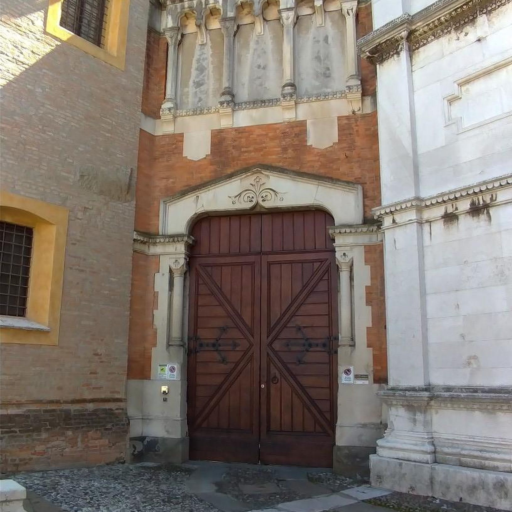
Saint Patrick and Saint Colman's Cathedral is the architectural jewel of Newry and one of Ireland's most impressive Neo-Gothic structures. Construction began in 1825, and upon its completion in 1829, the cathedral made history as the first Catholic cathedral to open in Ireland following the repeal of the penal laws (Catholic Emancipation). Built from local granite from the nearby Mourne Mountains, this edifice exudes a robust yet elegant power. The cathedral is world-renowned for its fabulous interior: the walls and ceiling are adorned with colourful mosaics, meticulously applied by hand by Italian master craftsmen in the early 20th century. For the cyclist, this is not only a visual highlight along the route but also a place of serene tranquility. Its detailed stained-glass windows and monumental tower make it one of the city's most photographed locations and a worthy endpoint (or starting point) for your tour along the Newry Canal Towpath.
6
0

From the Flagstaff Viewpoint you can enjoy a stunning view of the expansive landscape where the Newry River gently curves its way to Carlingford Lough. The view stretches down to the fjord where the land meets the water and the hills in the distance form a picturesque backdrop. The valley opens up between the lush green conifers and you can watch the landscape unfold below you. From up here, the roads and fields look like little veins and patches that tie the whole picture together. It is a place to linger and enjoy the silence - a haven of calm that makes you feel above it all.
0
0
The Carlingford Lough Greenway has a special atmosphere as you walk along this section of Newry. With the Newry Ship Canal to your left and the Newry River to your right, you're in the middle of two worlds. The calm waters of the canal reflect the sky, making the surroundings seem almost like a backdrop, while the riverbank on the other side is lush with greenery and wild flowers. The narrow path takes you past flowering gorse and you can smell the scent of the vegetation in the air. It's a route that has its charms in every season, whether it's clear skies or when grey clouds hang low and make the water seem almost mystical. The Greenway is perfect for a leisurely stroll or a leisurely bike ride, enjoying being close to nature - an ideal place to clear your head.
1
0

Stunning cathedral built from local granite
2
0

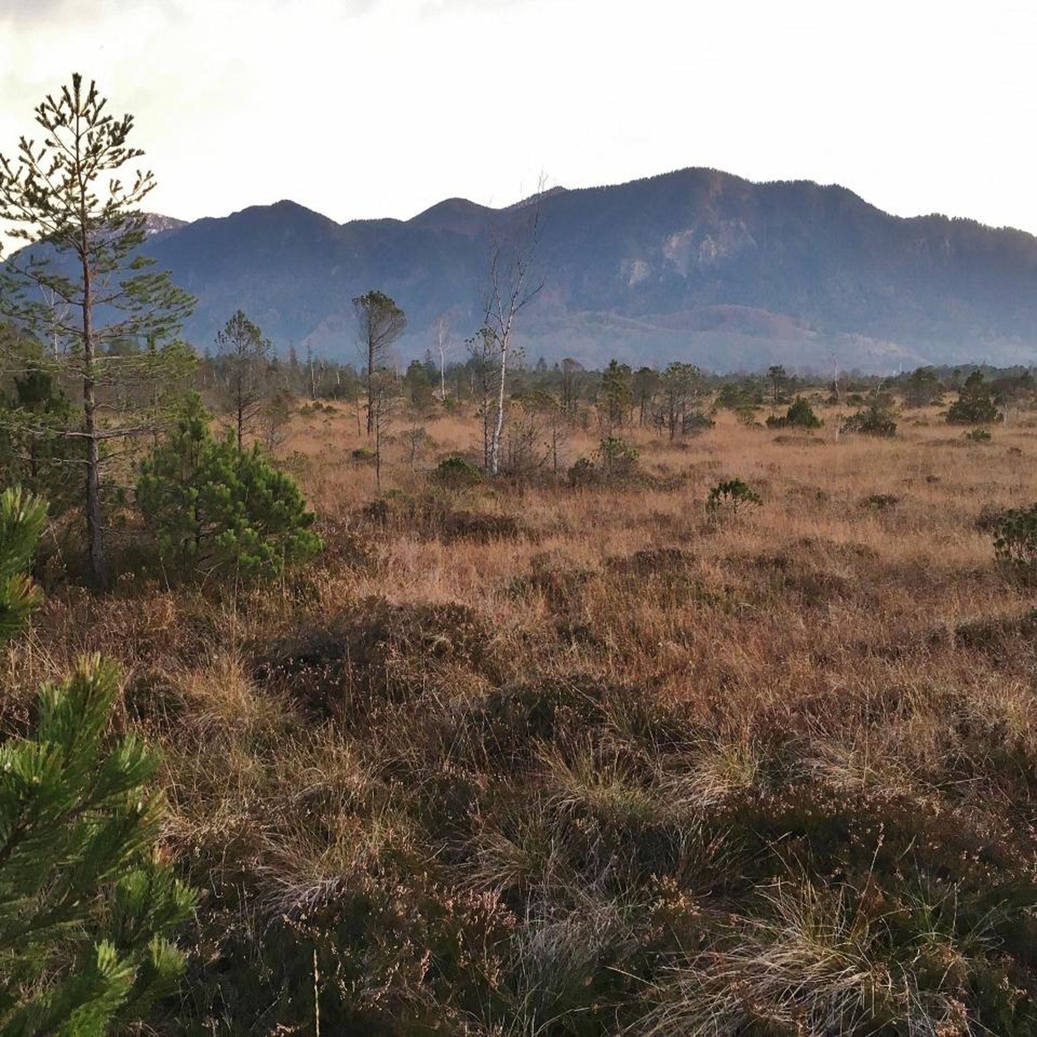
This beautiful forest extends along the slopes of Flagstaff Mountain, right above the estuary of Newry. It's very pleasant to walk along its paths, although in some sections, it's important to be mindful of the steep terrain.
0
0
Frequently Asked Questions
How many hiking trails are available in Commons?
There are over 60 hiking trails around Commons, offering a diverse range of experiences. These include routes through wooded areas, along river paths, and across greenways, catering to various skill levels.
Are there easy hiking options for beginners or families in Commons?
Yes, Commons offers a good selection of easy trails. More than half of the routes, specifically 34 out of 62, are rated as easy. An example is the Fathom Wood loop — Ring of Gullion, which is an easy 4.8-mile (7.7 km) trail.
What kind of landscapes can I expect to see while hiking in Commons?
Hiking in Commons offers a diverse landscape. You'll find wooded areas, scenic river paths, and greenways. The region also encompasses parts of the Ring of Gullion, known for its volcanic hills and natural beauty, providing varied terrain for exploration.
Are there any circular hiking routes in Commons?
Yes, many trails in Commons are designed as loops. For instance, the Fathom Wood loop — Ring of Gullion is a popular circular route. Another option is the Ring of Gullion and Carlingford Lough Greenway Loop, which combines natural features with greenway sections.
What do other hikers say about the trails in Commons?
The hiking routes in Commons are highly regarded by the komoot community, holding an average rating of 4.4 stars from over 120 reviews. Hikers often praise the varied terrain, which includes wooded areas, river paths, and greenways, and the opportunities to explore both natural and managed green spaces.
Are there any notable natural attractions or landmarks to see near the hiking trails?
Yes, the area around Commons features several interesting natural attractions. You can explore highlights such as North Cairn of Slieve Gullion and Calliagh Beara's Lough, Camlough Lake, and the View of Carlingford Lough from Rostrevor Road. The region is part of the Ring of Gullion, known for its scenic beauty.
What are some cultural or historical sites I can visit while hiking in Commons?
Beyond natural beauty, Commons is home to historical and cultural points of interest. You might consider visiting the Slieve Gullion Summit, which has historical significance, or the Druids' Circle in Ravensdale Forest. There's also the unique Giant's Lair, offering a different kind of exploration.
How long do hikes in Commons typically take?
Hiking durations vary depending on the trail's length and difficulty. For example, an easy route like the Fathom Wood loop — Ring of Gullion takes approximately 1 hour 48 minutes. Longer, moderate trails such as the Ring of Gullion and Carlingford Lough Greenway Loop can take around 4 hours 53 minutes.
Are there any trails that follow the Newry River?
Yes, some trails in Commons follow waterways. The Newry River loop from Newry is an easy 2.3-mile (3.7 km) trail that takes you along the river, offering a pleasant walk.
Can I find trails that combine natural areas with urban parklands?
Absolutely. The region's trails often traverse parklands and green spaces. The Eisler Park loop from Newry is a good example, leading through parkland and offering a blend of natural and managed green spaces.
What is the difficulty level of most trails in Commons?
The trails in Commons are predominantly easy to moderate. There are 34 easy routes and 28 moderate routes, making it accessible for a wide range of hikers. There are no trails currently classified as difficult.
Most popular attractions around Commons

Get inspired with the komoot mobile app


Explore more
Browse the best Hikes in other regions.
