The best mountain hikes around Lac des Dix
5.0
(3)
35
hikers
5
hikes
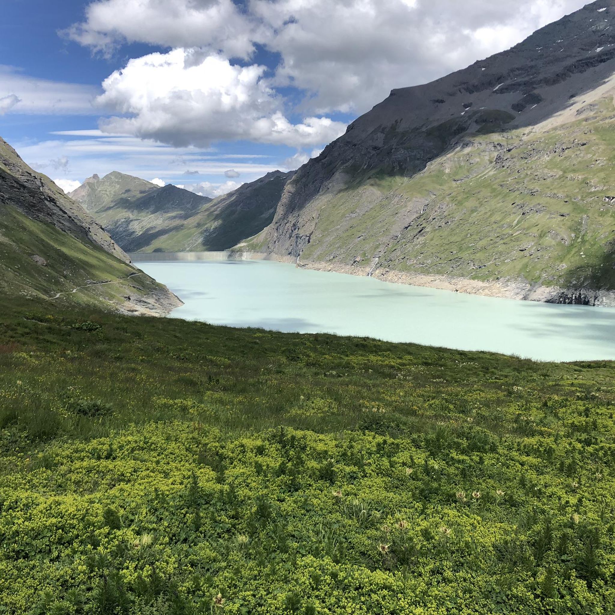
Mountaineering routes around Lac des Dix are set amidst the dramatic alpine landscapes of the Valais region in Switzerland. The area is characterized by towering peaks, impressive glaciers, and the monumental Grande Dixence Dam, which created the vast, turquoise Lac des Dix. This high-alpine environment offers a range of challenging terrain, including rocky ridges and glacier crossings, making it a prime destination for experienced mountaineers.
Best mountaineering routes around Lac des Dix
- The most popular mountaineering route is Grande Dixence…
Last updated: July 4, 2026
5.0
(1)
11
hikers
23.4km
08:45
1,060m
1,060m
Hard mountaineering route. Very good fitness required. Sure-footedness, sturdy shoes and alpine experience required.
4
hikers
8.66km
04:04
670m
670m
Moderate mountaineering route. Good fitness required. Mostly accessible paths. Sure-footedness required.

Sign up for free
5.0
(2)
10
hikers
2.94km
01:16
250m
250m
Easy mountaineering route. Great for any fitness level. Easily-accessible paths. Suitable for all skill levels.
6
hikers
9.47km
05:19
1,000m
1,000m
Hard mountaineering route. Very good fitness required. Mostly accessible paths. Sure-footedness required.
2
hikers
5.56km
02:02
300m
300m
Moderate mountaineering route. Good fitness required. Mostly accessible paths. Sure-footedness required.
Our route recommendations are based on thousands of hikes, rides, and runs completed by other people on komoot.
Start today with a free account
Your next adventure awaits.
Login or Signup

Other adventures around Lac des Dix

Tips from the Community


Well-marked trails through a rocky valley, with the Prafleuri mountain hut at the top of the valley where you can sit, eat and drink.
0
0

Cabin with wonderful view on a great terrace
0
0


An easy and accessible hiking destination in a spectacular setting.
0
0

Can't give an opinion because the place was closed when we went there, but from the outside this place is very nice.
0
0

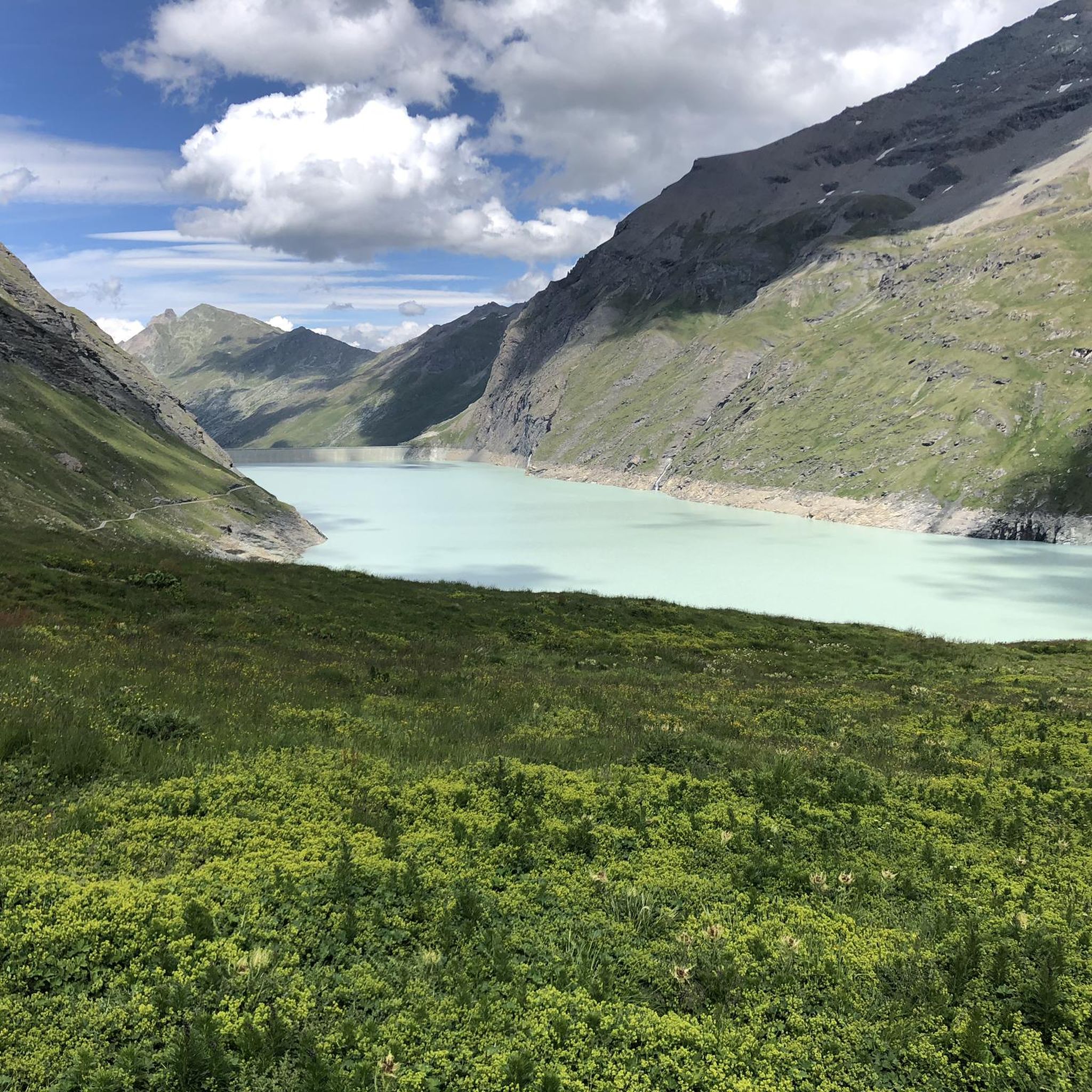
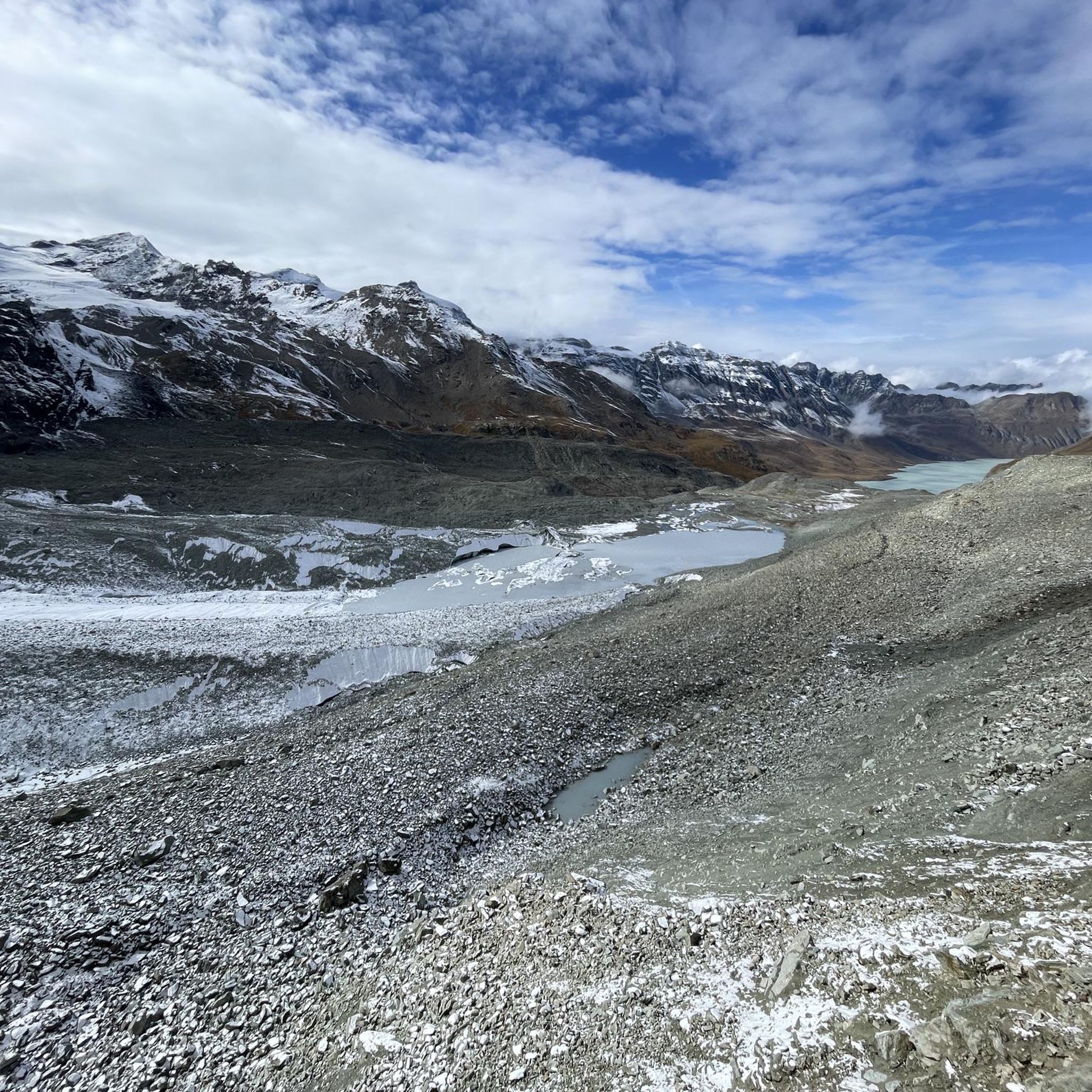
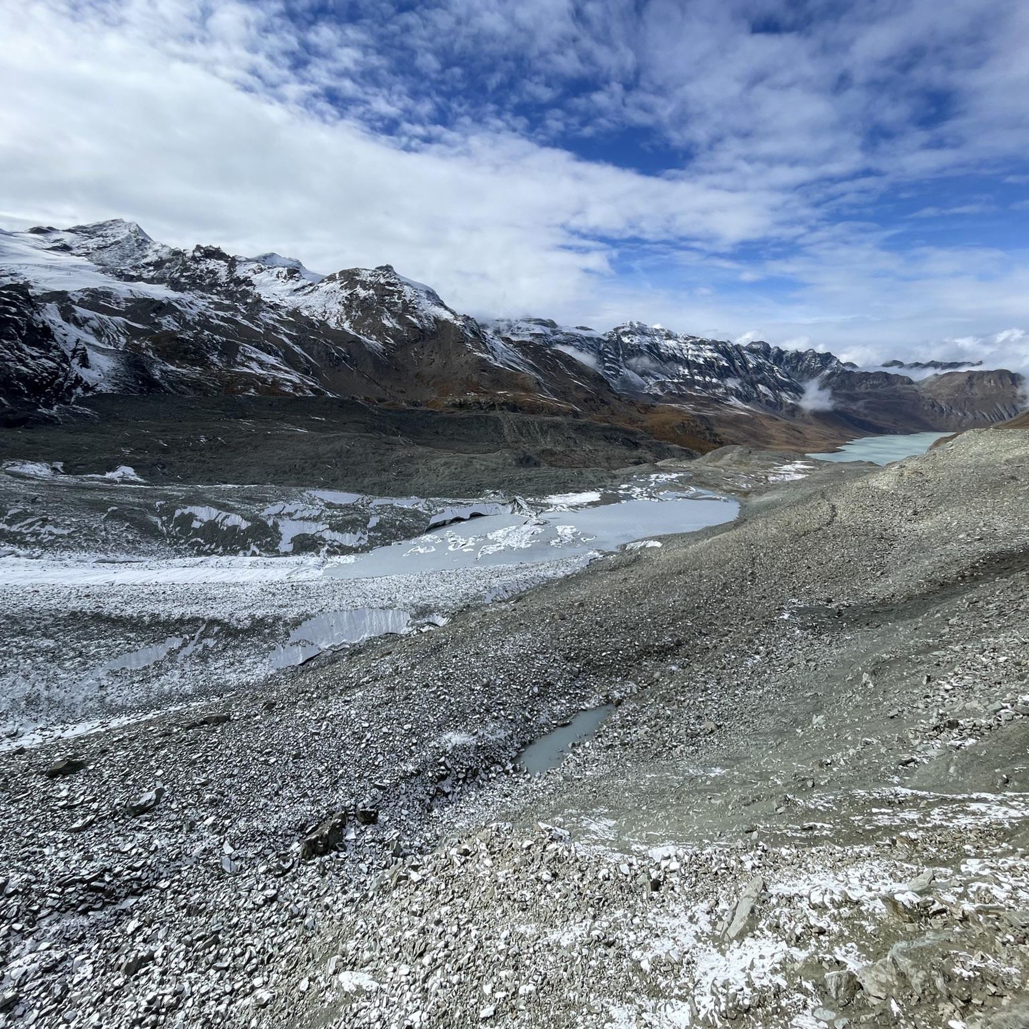
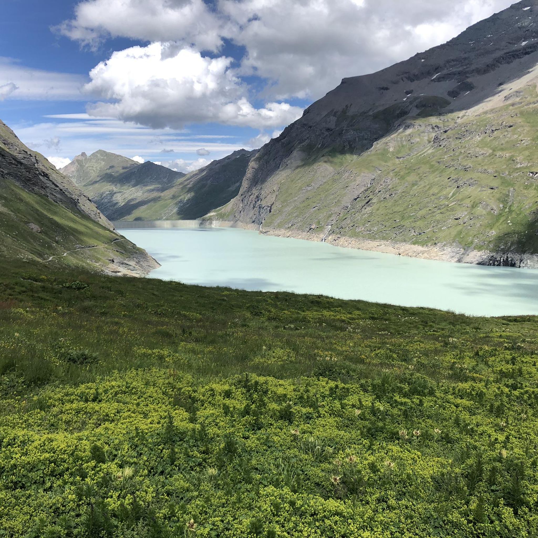
Whether you're coming from the south or the north, the spot where the glacial runoff pours into Lake Dix is truly impressive. You can take a break and watch the massive masses of water for a long time. The lake is located at an elevation of 2,362 meters. Fun fact: the dam at the other end of Lac des Dix is, at 285 meters, the tallest structure in Switzerland.
0
0
Frequently Asked Questions
What kind of terrain can I expect on mountaineering routes around Lac des Dix?
Mountaineering routes in the Lac des Dix area feature dramatic alpine landscapes with towering peaks, glaciers, and the striking turquoise waters of the lake. You'll encounter challenging terrain including rocky ridges, scree, boulder sections, and opportunities for glacier crossings and technical climbs, especially on routes traversing high alpine passes like Col des Roux, Col Termin, and Col de Louvie.
Are there any moderate mountaineering routes suitable for those building experience?
Yes, there are several moderate routes. For example, the Grande Dixence Dam – Grande Dixence Dam loop from La Grande Dixence is a moderate 10.7 km trail offering views of the dam and surrounding alpine scenery. Another option is the Louché Alpine Hut – Lac Bleu loop from La Gouille, which is a shorter moderate route.
What are some of the more challenging mountaineering routes in the region?
For experienced mountaineers seeking a challenge, the Cabane des Dix – Grande Dixence Dam loop from La Grande Dixence is a difficult 23.8 km path that traverses high-alpine terrain towards the Cabane des Dix. Another demanding option is the Aiguilles Rouges Hut – Lac Bleu loop from Arolla, an 13.1 km trail leading through rugged mountain passes.
What notable landmarks or natural features can I see while mountaineering in Lac des Dix?
The most prominent landmark is the Grande Dixence Dam, the tallest gravity dam in the world. You can also enjoy panoramic views of peaks like Mont Blanc de Cheilon and the Combin massif, glistening glaciers, and the vibrant turquoise Lac des Dix itself. The region also features numerous waterfalls and diverse alpine flora, including Edelweiss.
Are there mountain huts available for multi-day mountaineering trips?
Yes, the region is well-equipped with mountain huts that facilitate multi-day expeditions. Notable huts include Cabane de Prafleuri, Cabane du Mont Fort, Cabane des Dix, Refuge des Ecoulaies, and La Barma, providing essential shelter and services in the high alpine environment.
What is the best time of year for mountaineering around Lac des Dix?
The best time for mountaineering around Lac des Dix is typically during the summer months, from June to September, when the snow has largely melted from the lower and mid-altitudes, and the weather is generally more stable. However, conditions can change rapidly in the high alpine, so always check forecasts and trail conditions.
Can I reach the Lac des Dix area using public transport?
While specific public transport routes directly to all trailheads can vary, the region is generally accessible. For instance, you can often reach the Grande Dixence Dam via a cable car, which connects to public transport networks in the valley. It's advisable to check local bus and cable car schedules for the most up-to-date information on reaching specific starting points.
What do other mountaineers say about the routes in Lac des Dix?
The mountaineering routes in Lac des Dix are highly regarded by the komoot community, with an average rating of 4.6 stars from over 10 reviews. Mountaineers often praise the dramatic alpine scenery, the challenging yet rewarding terrain, and the impressive views of the Grande Dixence Dam and surrounding peaks.
Are there any circular mountaineering routes available?
Yes, several routes offer a circular experience. Examples include the moderate Grande Dixence Dam – Grande Dixence Dam loop from La Grande Dixence and the more challenging Cabane des Dix – Grande Dixence Dam loop from La Grande Dixence. These loops allow you to start and finish at the same point, often providing diverse views along the way.
Is it possible to see wildlife while mountaineering in this region?
Yes, the alpine pastures and rocky areas around Lac des Dix are home to diverse wildlife. You may have opportunities to spot animals such as ibex, marmots, and chamois, especially in quieter areas and during early morning or late afternoon hours.
Where can I find more information about the Grande Dixence Dam itself?
For more detailed information about the Grande Dixence Dam, including visitor information, tours, and the cable car schedule, you can visit the official website: visit-grande-dixence.ch.
Most popular routes around Lac des Dix

Get inspired with the komoot mobile app


Explore more
Browse the best Mountain Hikes & Routes in other regions.
