The best running trails around Zervreilasee
3.6
(8)
31
runners
5
runs
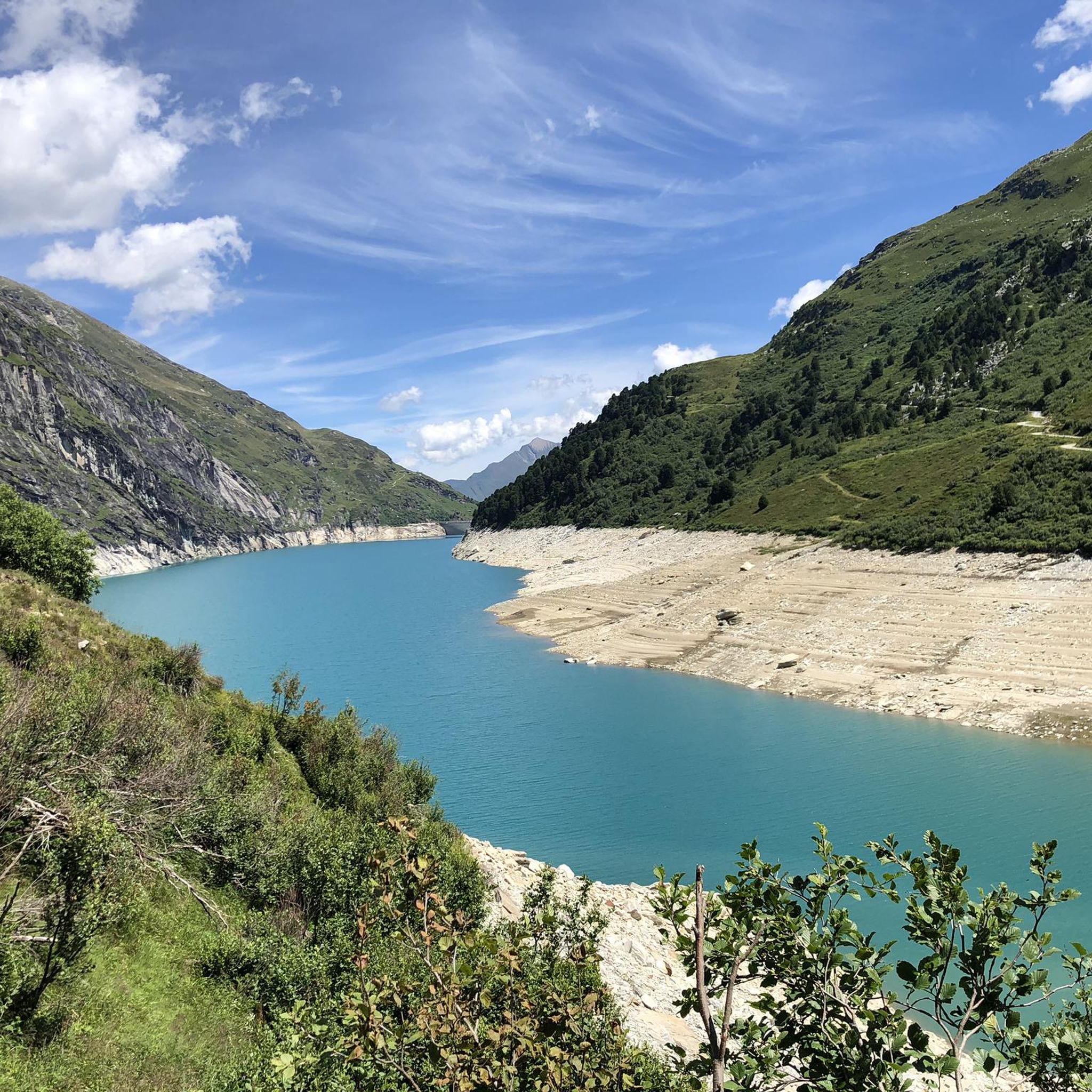
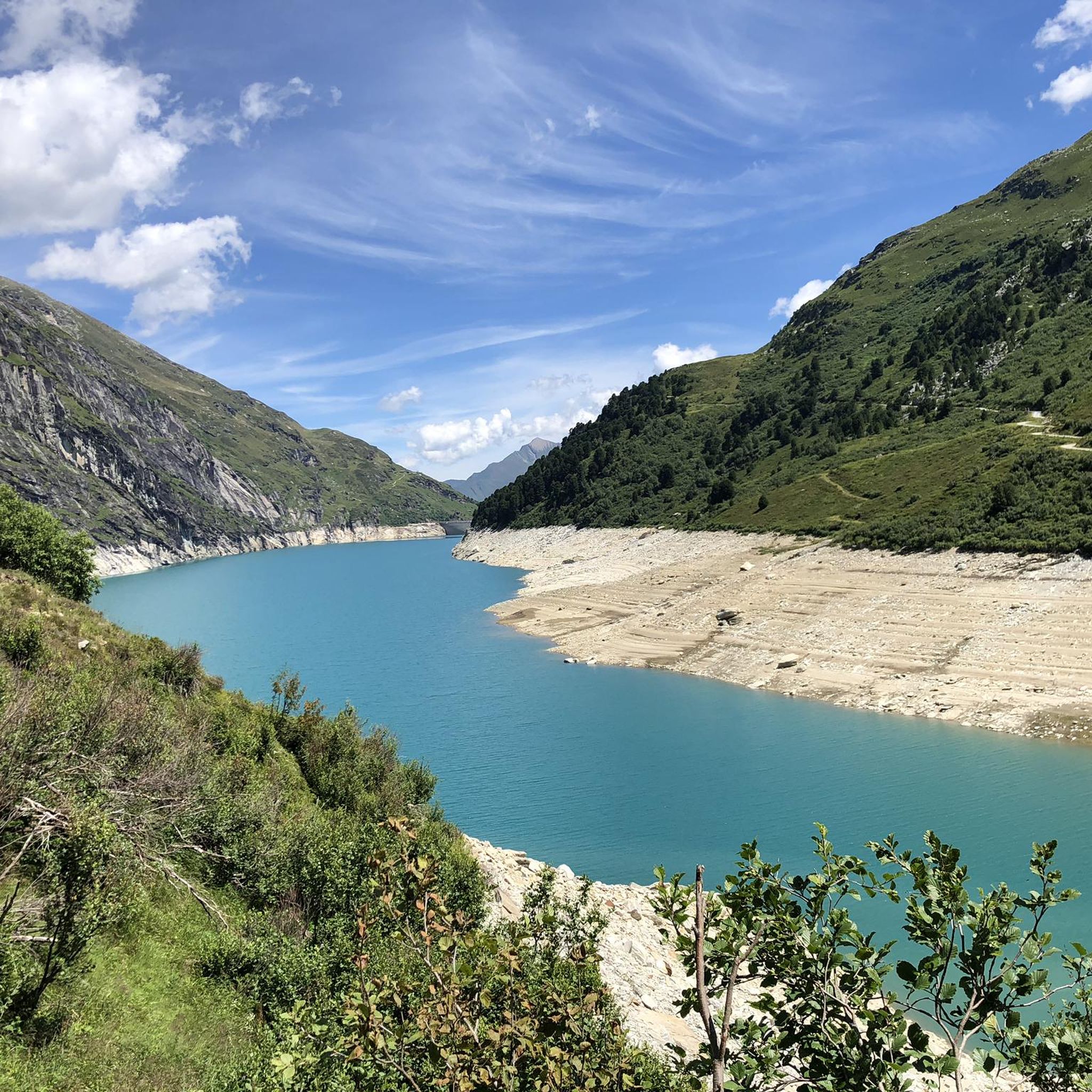
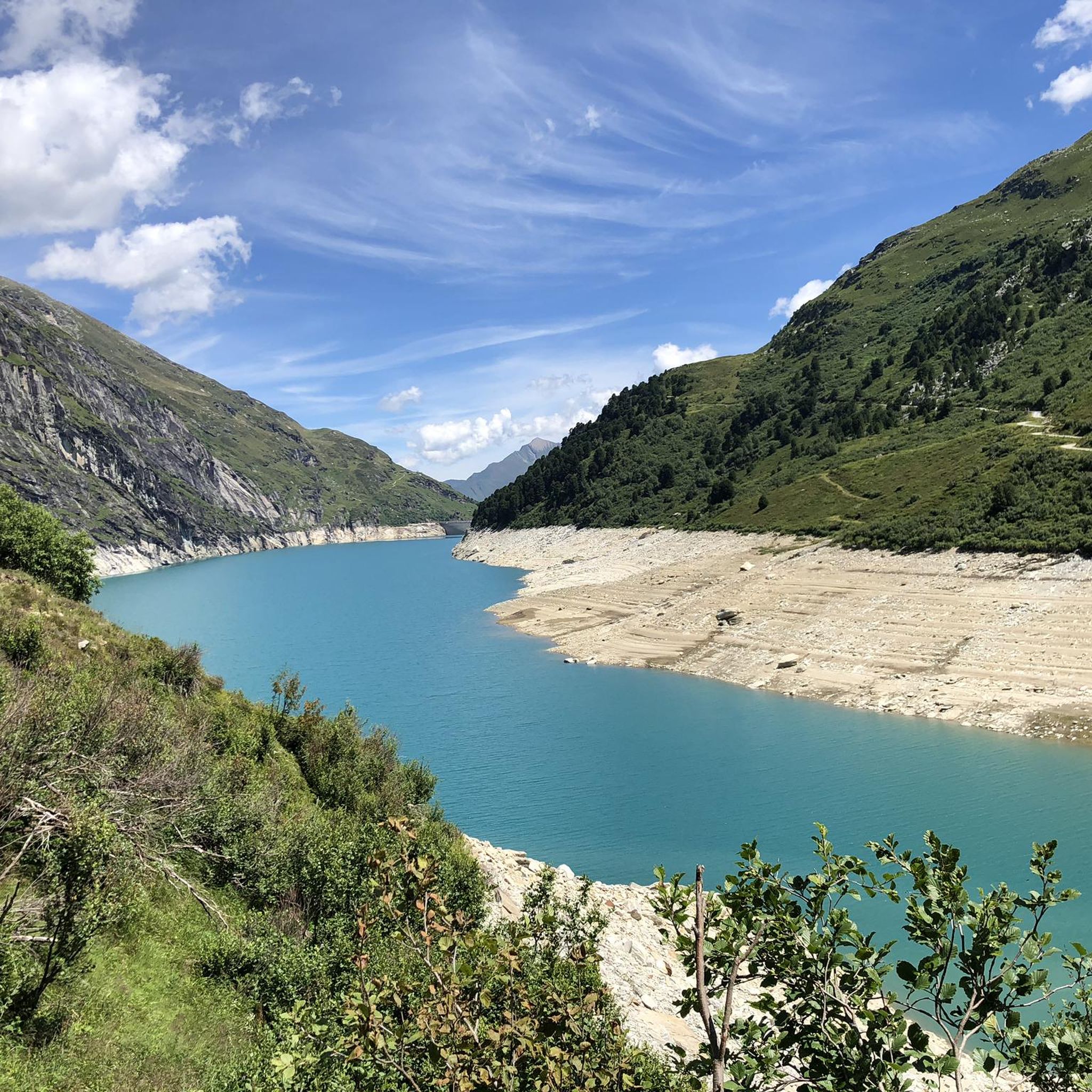
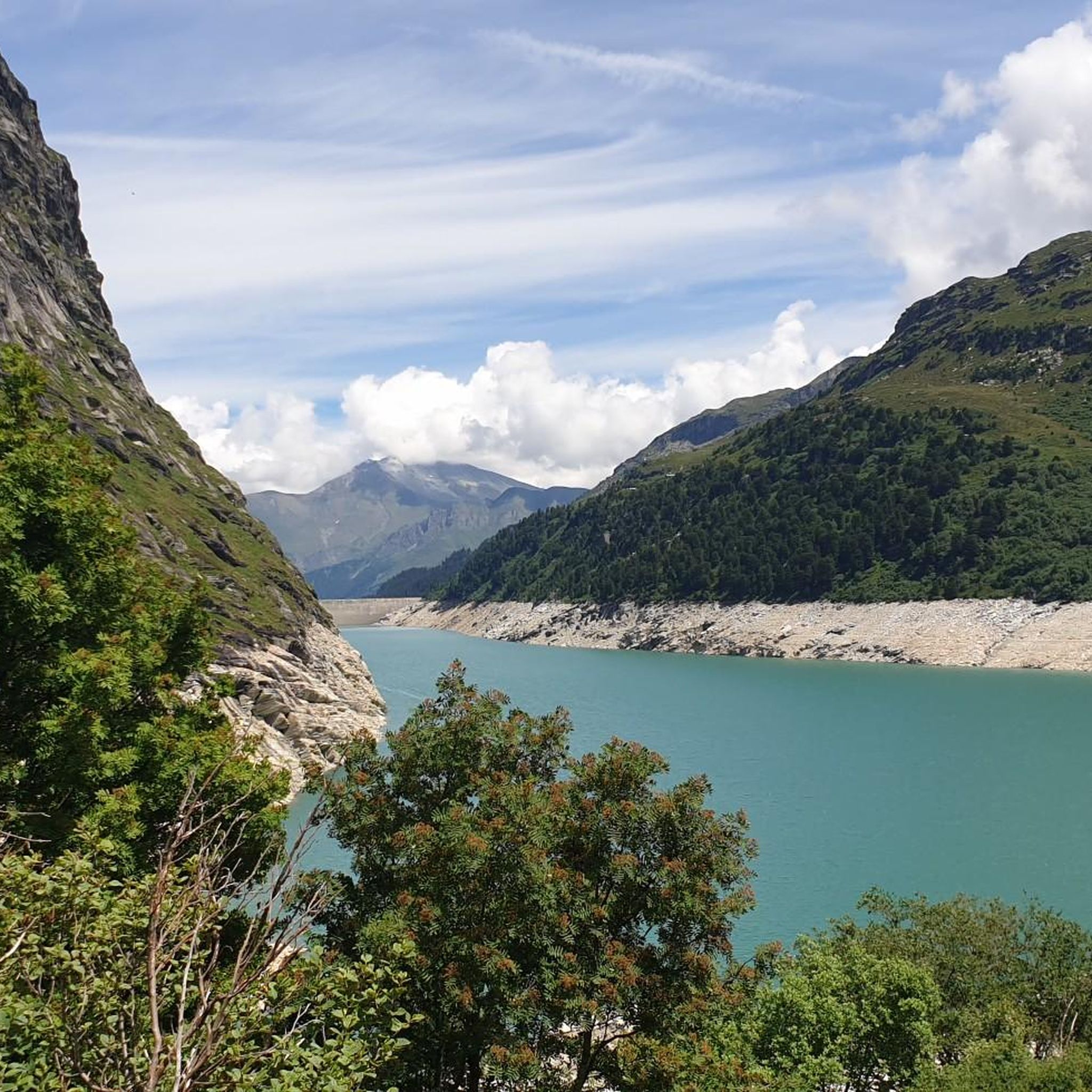
Jogging around Zervreilasee offers routes through a dramatic alpine setting, characterized by the expansive Zervreilasee reservoir and surrounding peaks of the Adula Alps. The region features diverse paths winding through valleys, forests, and raised moors. Joggers can explore terrain ranging from high mountain trails to paths along the lake, with elevations reaching over 3,000 meters in the wider area.
Best jogging routes around Zervreilasee
- The most popular jogging route is Running loop from Vals, a 3.4 miles (5.5 km)…
Last updated: July 6, 2026
4.1
(7)
10
runners
5.48km
00:49
270m
270m
Hard run. Good fitness required. Sure-footedness, sturdy shoes and alpine experience required.
2
runners
4.84km
00:34
140m
130m
Moderate run. Good fitness required. Mostly paved surfaces. Suitable for all skill levels.

Sign up for free
3.0
(1)
5
runners
7.16km
00:58
320m
320m
Hard run. Very good fitness required. Sure-footedness, sturdy shoes and alpine experience required.
8
runners
16.8km
01:53
460m
460m
Hard run. Very good fitness required. Mostly paved surfaces. Suitable for all skill levels.
11.7km
03:51
1,370m
1,370m
Hard run. Very good fitness required. Sure-footedness, sturdy shoes and alpine experience required.
Our route recommendations are based on thousands of hikes, rides, and runs completed by other people on komoot.
Start today with a free account
Your next adventure awaits.
Login or Signup
Tips from the Community

The San Bernardino Pass connects the Misox with the Rheinwald and is located at 2,066 meters. At the pass summit, there is a restaurant and a bus stop, making the location easily accessible. The open high mountain landscape with small lakes and wide open spaces is well suited for a break.
0
0

One of the most beautiful passes IMHO! Very long from the south, never too steep (if you stay on the main road: do not take the bike path after Mesocco!), and you will experience the vegetation transitioning from palm trees to alpine climate! The S. Bernardino village is a bonus, take the chance to eat something and get a water refill before the last push.
0
0

In summer, every Saturday village market
0
0

Pizzo Cassinello exceeds 3100 m above sea level and is one of the most accessible peaks above 3,000 m in all of Ticino.
1
0
From the crest of the Soreda pass you can admire the majesty of the Alpine reliefs. Located at over 2700 meters, the pass can have modest snow accumulations even in summer.
1
0
The Scardara valley is enclosed between suggestive rock walls (particularly loved by boulders), comfortable green meadows and the fresh stream.
1
0

Beautiful Alpine pass that, thanks to the presence of a highway, remains relatively free of traffic compared to others. It separates the Adula Alps to the west from the Tambo group to the east.
1
2
Pizzo Cassinello rises to over 3,100 meters above sea level and is one of the most accessible peaks over 3,000 m in the entire Ticino region.
3
0
Frequently Asked Questions
What kind of terrain can I expect on the running trails around Zervreilasee?
The running trails around Zervreilasee offer a diverse alpine experience. You'll encounter paths winding through dramatic mountain scenery, along the expansive reservoir, and through valleys, forests, and even raised moors. The region is characterized by the impressive peaks of the Adula Alps, providing a stunning backdrop for your run.
Are there any easy running routes for beginners in the Zervreilasee area?
While many routes in the Zervreilasee area present a significant challenge, the region is known for its extensive trail network that caters to various fitness levels. The guide highlights routes like the Running loop from Vals, which is 3.4 miles (5.5 km) long. Although classified as 'difficult' in this guide due to elevation changes, it's a popular option and might be a good starting point for those looking for a shorter loop with alpine views. For easier options, look for 'easy hikes' in the wider Vals valley that can be jogged.
What are some notable natural features or landmarks I might see while jogging near Zervreilasee?
Jogging around Zervreilasee offers breathtaking views of the Adula Alps, including peaks over 3,000 meters like Güferhorn and Fanellhorn. The expansive Zervreilasee reservoir itself is a central feature, reflecting the surrounding mountains. You'll also see the impressive 151-meter-high Zervreila Dam, and potentially cross the 150-meter-long Canalbrücke bridge over the southern bay of the lake. The Zervreila Chapel is another point of interest along some routes.
Are there any circular running routes available in the Zervreilasee region?
Yes, the Zervreilasee area features several circular running routes. A popular option is the Running loop from Vals, which provides a scenic circuit through the alpine landscape. Another challenging loop is the View of the Valley – Leis Settlement loop from Vals, offering continuous views as you run.
Can I bring my dog on the running trails around Zervreilasee?
The Zervreilasee area is generally dog-friendly, with many trails suitable for running with your canine companion. However, it's always recommended to keep dogs on a leash, especially in areas with livestock or wildlife, and to check local regulations for specific trails. Ensure your dog is fit for the alpine terrain and carry enough water for both of you.
Is Zervreilasee a good destination for family-friendly running or walks?
Zervreilasee offers diverse paths, and while many are challenging, there are also easier hikes and walks that families can enjoy, some of which are suitable for jogging. The stunning scenery and natural features like the lake and dam provide an engaging environment for outdoor activities. Look for trails described as 'easy hikes' in the wider Vals valley for more family-friendly options.
What is the best time of year to go running in Zervreilasee?
The summer months are generally the best time for running in Zervreilasee, as the road to the lake is usually passable, and the weather is ideal for outdoor recreation. The high-altitude location can positively affect performance. While some trails might be accessible in late spring or early autumn, it's important to be aware of snow conditions and changing weather in the alpine environment.
Are there parking facilities available for runners at Zervreilasee?
Yes, there is a small car park available near the Zervreilasee dam, which serves as an excellent starting point for explorations and runs. Access to the lake can involve narrow roads and a one-lane tunnel, so plan your arrival accordingly.
How can I reach Zervreilasee using public transport for a running trip?
While the guide doesn't specify direct public transport routes to the immediate lake area, the Vals-Gadastatt Gondola offers cable car access to elevated starting points, and it's free in summer. For broader public transport options to the Vals valley, it's advisable to check local bus schedules and connections to Vals, from where you might find further transport or start your run.
Are there any places to eat or stay near the running routes in Zervreilasee?
Yes, there is a restaurant located near the Zervreila dam that offers accommodations. This provides a convenient starting point for your runs and a place to refuel or stay overnight after exploring the trails around the lake.
What is the average rating for running routes in Zervreilasee by the komoot community?
The running routes in Zervreilasee are highly rated by the komoot community, with an average score of 4.0 stars from over 3 reviews. More than 26 runners have used komoot to explore the varied and challenging terrain of Zervreilasee.
How many running routes are featured in the Zervreilasee area on komoot?
There are over 5 running routes featured in the Zervreilasee area on komoot, offering a range of options for exploring the stunning alpine landscape.
Most popular routes around Zervreilasee

Get inspired with the komoot mobile app


Explore more
Browse the best Running Trails & Routes in other regions.
