The best road cycling routes around Bannalpsee
5.0
(1)
50
riders
4
rides
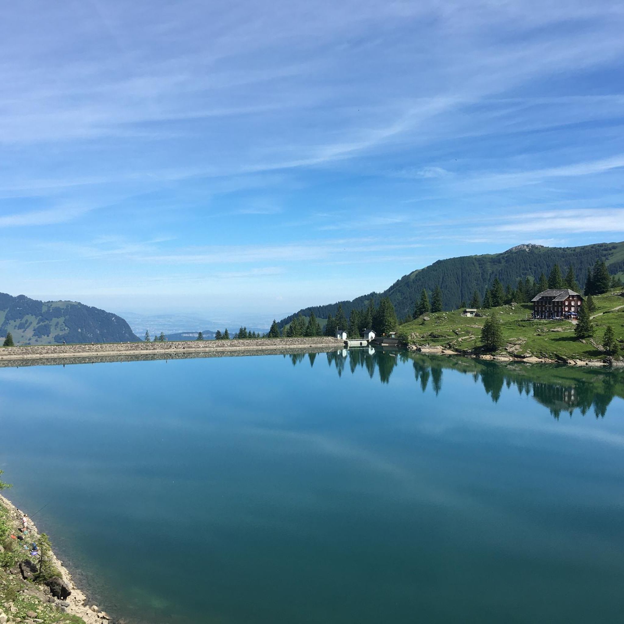
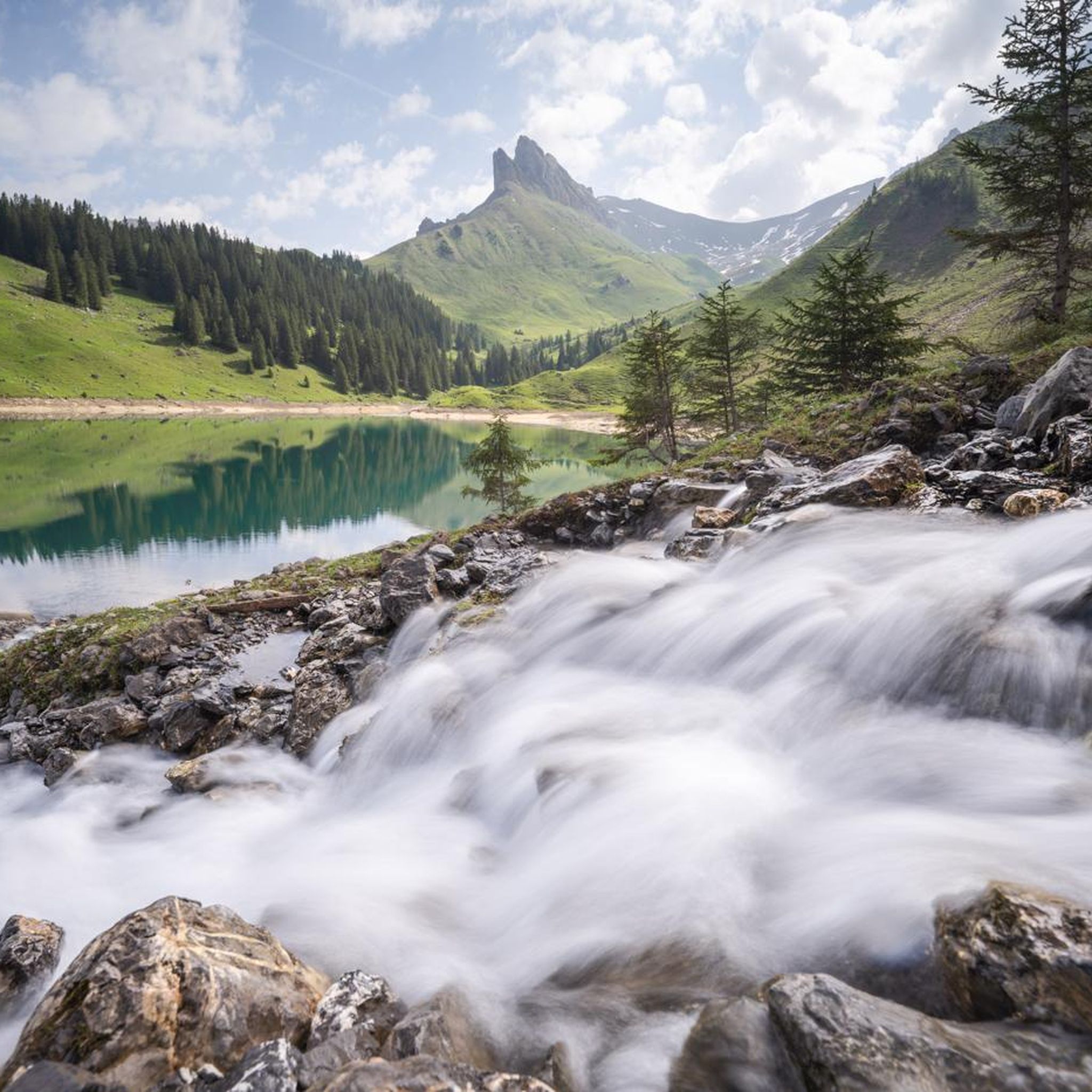
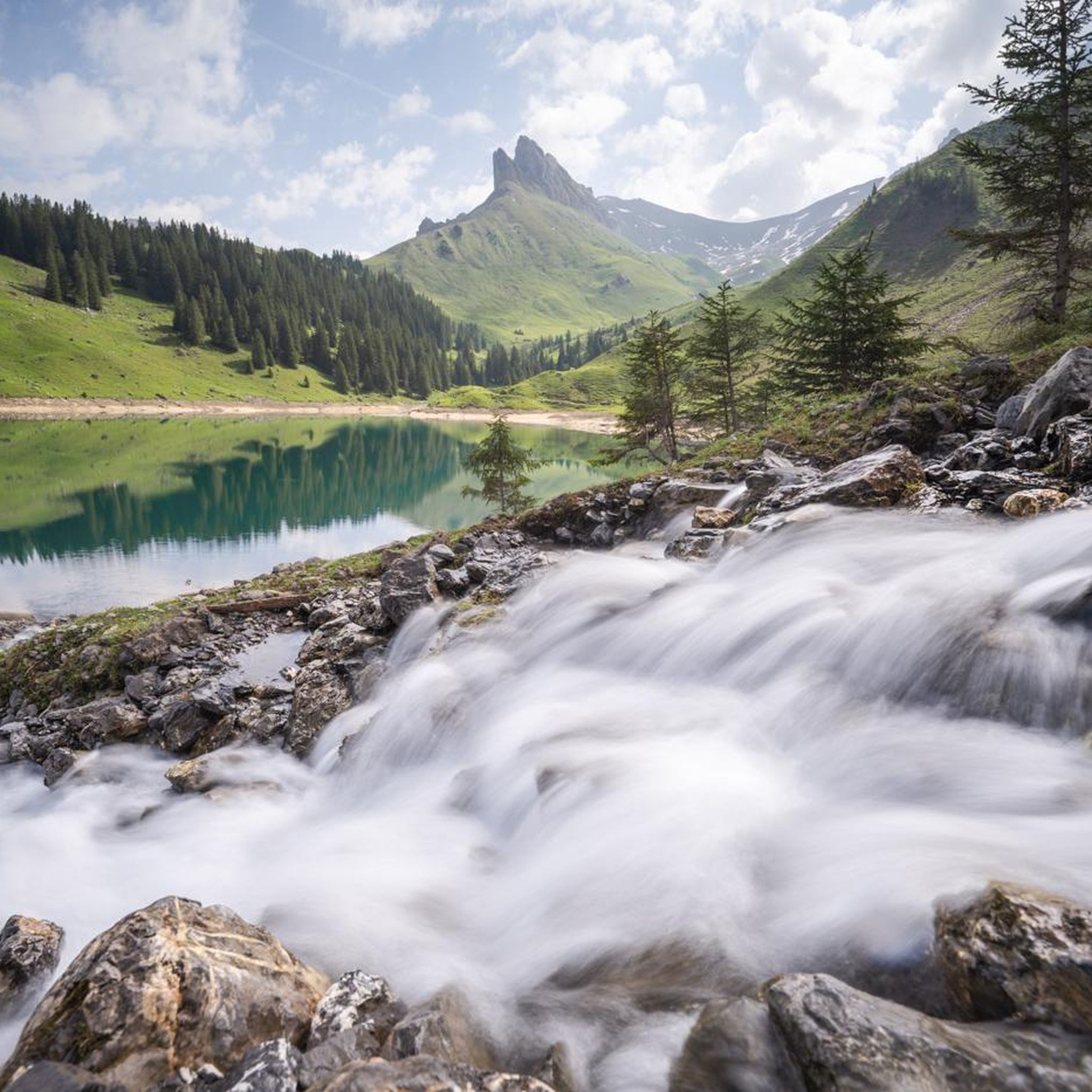
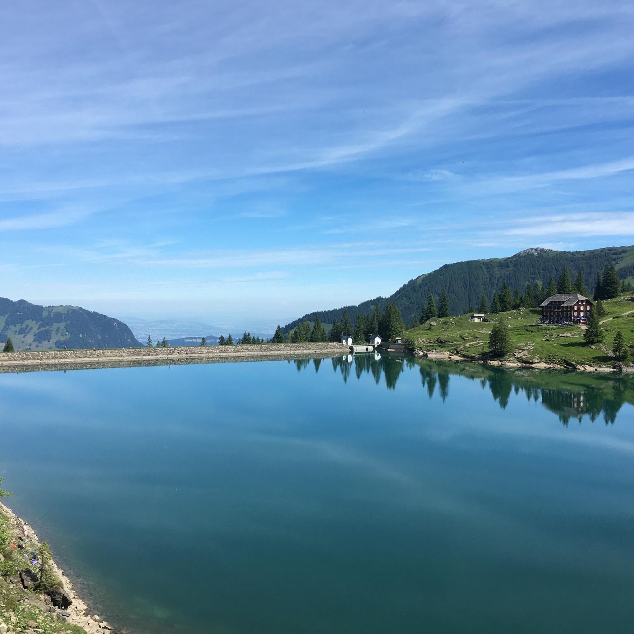
Road cycling around Bannalpsee features routes through varied alpine and pre-alpine landscapes. The region is characterized by its proximity to Lake Lucerne, offering views of the water and surrounding mountains. Road cyclists can expect routes with significant elevation changes, traversing valleys and ascending towards mountain passes. The terrain includes paved roads winding through forested areas and open pastures, connecting small villages and scenic viewpoints.
Best road cycling routes around Bannalpsee
- The most popular road cycling route is View of Lake…
Last updated: July 21, 2026
5.0
(1)
32
riders
29.3km
01:37
540m
540m
Moderate road ride. Good fitness required. Some segments of this route may be unpaved and difficult to ride.
8
riders
18.7km
01:45
910m
910m
Hard road ride. Very good fitness required. Mostly well-paved surfaces and easy to ride.

Sign up for free
7
riders
Moderate road ride. Good fitness required. Some segments of this route may be unpaved and difficult to ride.
3
riders
114km
05:18
1,150m
1,150m
Hard road ride. Very good fitness required. Some segments of this route may be unpaved and difficult to ride.
Our route recommendations are based on thousands of hikes, rides, and runs completed by other people on komoot.
Start today with a free account
Your next adventure awaits.
Login or Signup
Tips from the Community

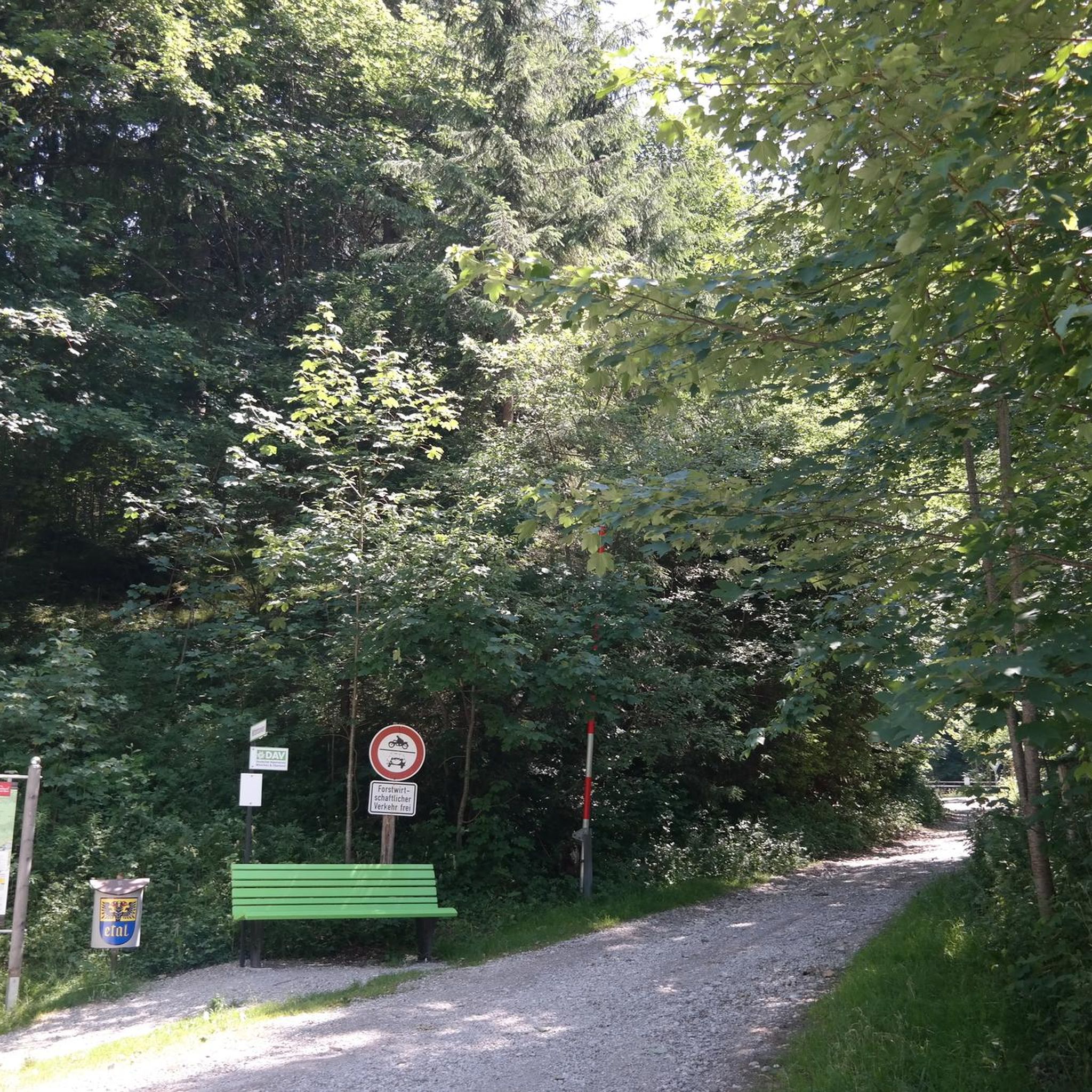
many of the beautiful resting places are exposed to the sun at this time of year, this resting place always has shade in the afternoon, and that was often necessary 🥵
0
0

very pretty here, very pretty
0
0

Especially at sunset 🌅 or in the evening, when the bridge is illuminated, it looks magical and invites you to linger.
0
0

Definitely don't just look at it from the outside. It's a wonderful (bright) church!
0
1

Excellent asphalt road (09/2025), nice gradient, great curves - a real pleasure to ride down here.
0
0

A beautiful view of Lake Lucerne
0
0


The Beromünster Canonry is an absolute must-see. The heart of the monastery is the magnificent St. Michael's Church. Its interior is an architectural dream of turquoise, white, and gold. In front of the church portal, on the right-hand garden wall, hangs a large, detailed map describing all the buildings and providing the viewer with a perfect overview of the complex. It's worth allowing some time for a visit.
0
0
Frequently Asked Questions
What kind of terrain can I expect on road cycling routes around Bannalpsee?
Road cycling around Bannalpsee features routes through varied alpine and pre-alpine landscapes. You can expect significant elevation changes, traversing valleys and ascending towards mountain passes. The terrain includes paved roads winding through forested areas and open pastures, connecting small villages and scenic viewpoints.
Are there road cycling routes suitable for beginners or families in the Bannalpsee area?
While many routes involve significant climbs, there are moderate options available. For instance, the View of Lake Lucerne – Old Town of Stans loop from Grafenort is a moderate 26.4-mile (42.5 km) path with rolling terrain, suitable for those looking for a less strenuous ride compared to the more challenging alpine ascents.
Where can I find challenging road cycling routes near Bannalpsee?
For experienced road cyclists seeking a challenge, the Bannalpsee region offers routes with substantial elevation gain. The View of Lake Lucerne – View of the Chapel Bridge, Lucerne loop from Dallenwil is a difficult 70.2-mile (113.0 km) route with over 3,700 feet of elevation gain. Another difficult option is the Ächerlipass Viewpoint – Ächerlipass loop from Niederrickenbach Station, which includes a significant climb to Ächerlipass.
What are the typical durations for road cycling routes in Bannalpsee?
Route durations vary significantly based on distance and elevation. Shorter, more intense routes like the Ächerlipass Viewpoint – Ächerlipass loop from Niederrickenbach Station can take around 1 hour 45 minutes for 11.6 miles. Longer routes, such as the View of Lake Lucerne – View of the Chapel Bridge, Lucerne loop from Dallenwil, can take over 5 hours to complete.
Are there any loop routes for road cycling around Bannalpsee?
Yes, many road cycling routes in the Bannalpsee area are designed as loops. Examples include the View of Lake Lucerne – Old Town of Stans loop from Grafenort and the Grafenort – Eugenisee loop from Engelberg, allowing you to start and finish at the same point.
What scenic views or points of interest can I expect along the road cycling routes?
The routes often provide extensive views of Lake Lucerne and the surrounding mountains. You can also expect to pass through charming small villages and open pastures. Some routes, like the View of Lake Lucerne – Old Town of Stans loop from Grafenort, even take you through historic areas like the Old Town of Stans.
What is the best time of year for road cycling in the Bannalpsee region?
The best time for road cycling in the Bannalpsee region is typically from late spring to early autumn (May to October), when mountain passes are generally clear of snow and weather conditions are more stable. Always check local weather forecasts, especially for higher elevations, before heading out.
How accessible are the road cycling routes by public transport?
Many starting points for routes in the Bannalpsee area are accessible by public transport. For example, the Ächerlipass Viewpoint – Ächerlipass loop from Niederrickenbach Station conveniently starts from Niederrickenbach Station, which can be reached by train and cable car.
Are there places to stop for refreshments or cafes along the road cycling routes?
The routes often connect small villages where you can find local cafes and restaurants. While specific cafes are not listed for every route, passing through towns like Stans or Engelberg (as seen in routes like View of Lake Lucerne – Old Town of Stans loop from Grafenort or Grafenort – Eugenisee loop from Engelberg) provides opportunities for refreshment stops.
What do other road cyclists enjoy most about road cycling in Bannalpsee?
The Bannalpsee road cycling routes are highly rated by the komoot community, with an average score of 5.0 stars. Reviewers often praise the varied terrain, the challenging alpine ascents, and the panoramic views of Lake Lucerne and the surrounding mountains.
How many road cycling routes are available around Bannalpsee?
There are several road cycling routes available around Bannalpsee, offering a range of difficulties and distances. Currently, there are 5 documented routes, with 3 considered moderate and 2 difficult, catering to different skill levels.
What should I bring for a road cycling trip in the Bannalpsee region?
Given the alpine and pre-alpine nature of the region, it's advisable to bring appropriate gear for varying weather conditions, including layers of clothing, rain protection, and sufficient water and snacks. A repair kit, spare tube, and a fully charged phone are also essential. For routes with significant elevation, ensure your bike is in good climbing condition.
Most popular routes around Bannalpsee

Get inspired with the komoot mobile app


Explore more
Browse the best Road cycling routes in other regions.
