The best walks and hikes around Lac de Joux
4.6
(1747)
15,051
hikers
11
hikes
Hiking around Lac de Joux, situated at 1,000 meters in the Vallée de Joux, offers diverse landscapes within the Jura Mountains. The region features extensive lakeside paths, dense fir forests, and open pastures, with the lake itself being the largest in Switzerland above this elevation. Trails range from routes along reedy marshes to those ascending to viewpoints like Dent de Vaulion, providing panoramic views. The environment is characterized by its rugged, unspoiled nature and unique hydrology.
Best hiking trails around Lac de Joux
- The most popular hiking route is Circuit on the edge and heights of Lac de Joux, a 9.0 miles (14.4 km) trail that takes 4 hours 24 minutes to complete, offering varied terrain and elevated views.
- Another top favourite among local hikers is Grand Tèpe Loop, a moderate 10.5 miles (16.9 km) path. This route leads through forests and open areas, providing a comprehensive experience of the valley's natural features.
- Local hikers also love the Lac de Joux – Le Pont loop from L'Abbaye, a 4.2 miles (6.8 km) trail leading through lakeside paths, often completed in about 1 hour 44 minutes.
- Hiking around Lac de Joux is defined by its extensive lakeside paths, dense fir forests, and the surrounding Jura mountain chains. The network offers options for different ability levels, from easy strolls to more challenging ascents.
- The routes in Lac de Joux are highly rated by the komoot community with an average score of 4.6 stars from over 1,300 reviews. More than 12,000 hikers have used komoot to explore Lac de Joux's varied terrain.
Last updated: October 10, 2026
3.7
(3)
22
hikers
14.4km
04:24
460m
460m
Moderate hike. Good fitness required. Easily-accessible paths. Suitable for all skill levels.
5.0
(1)
3
hikers
16.9km
04:51
390m
390m
Hike the moderate 10.5-mile Circuit du Lac de Joux et de la GRAND TÈPE, offering diverse landscapes and views of Lac de Joux.

4.5
(22)
123
hikers
13.7km
03:42
180m
180m
Moderate hike. Good fitness required. Easily-accessible paths. Suitable for all skill levels.
4.7
(6)
89
hikers
5.94km
02:14
350m
350m
Moderate hike. Good fitness required. Mostly accessible paths. Sure-footedness required.
5.0
(2)
60
hikers
9.60km
02:39
160m
160m
Moderate hike. Good fitness required. Easily-accessible paths. Suitable for all skill levels.
Get access to more routes and recommendations from other explorers.
Already have an account?
Our route recommendations are based on thousands of hikes, rides, and runs completed by other people on komoot.
Start today with a free account
Your next adventure awaits.
Popular around Lac de Joux
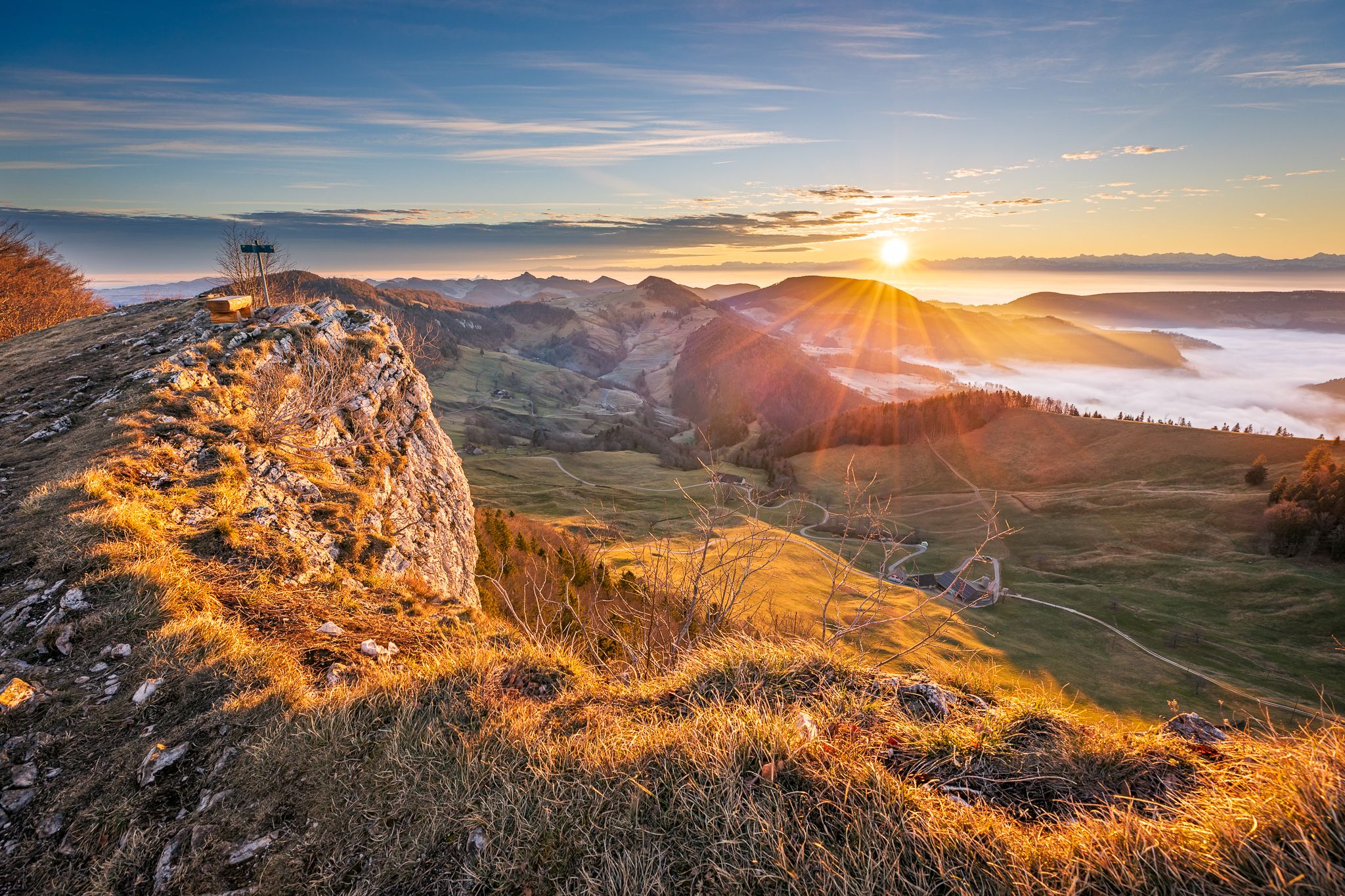
Jura Crest Trail - Rocks, distant views and fondue - 16 stages
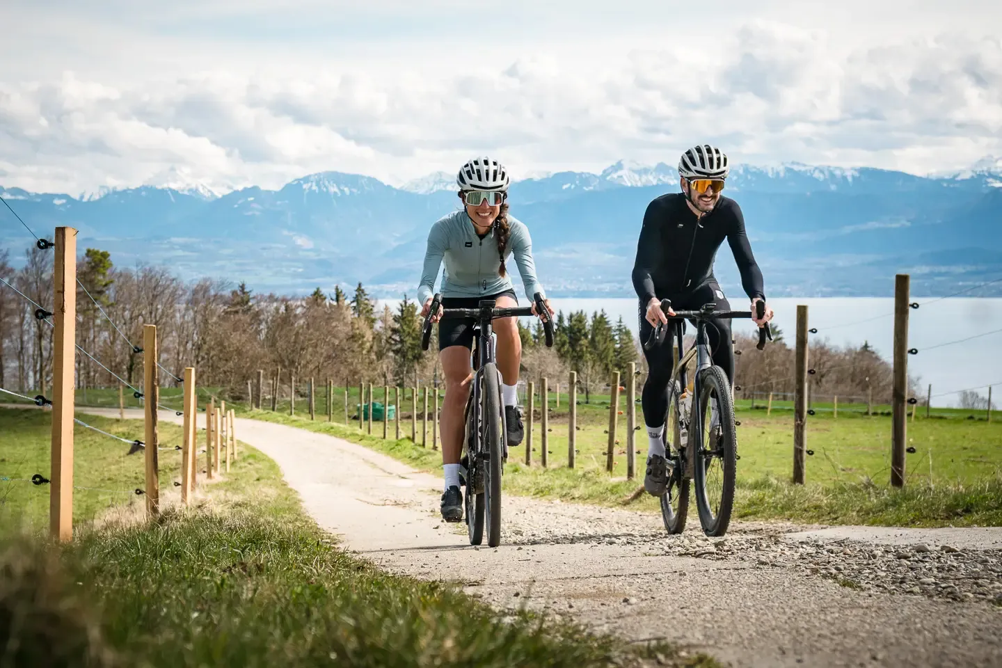
The Canton of Vaud on a gravel bike – loops between lakes and mountains
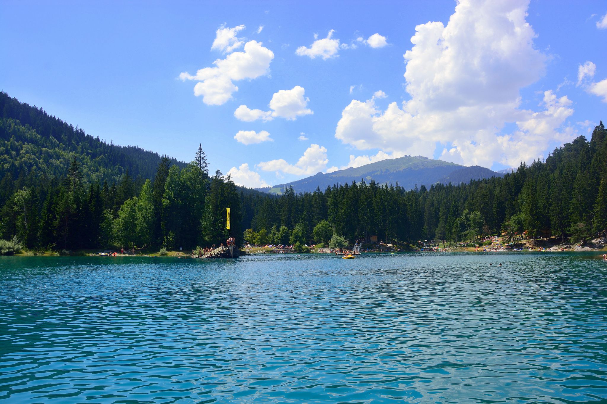
The most beautiful swimming lakes in Switzerland
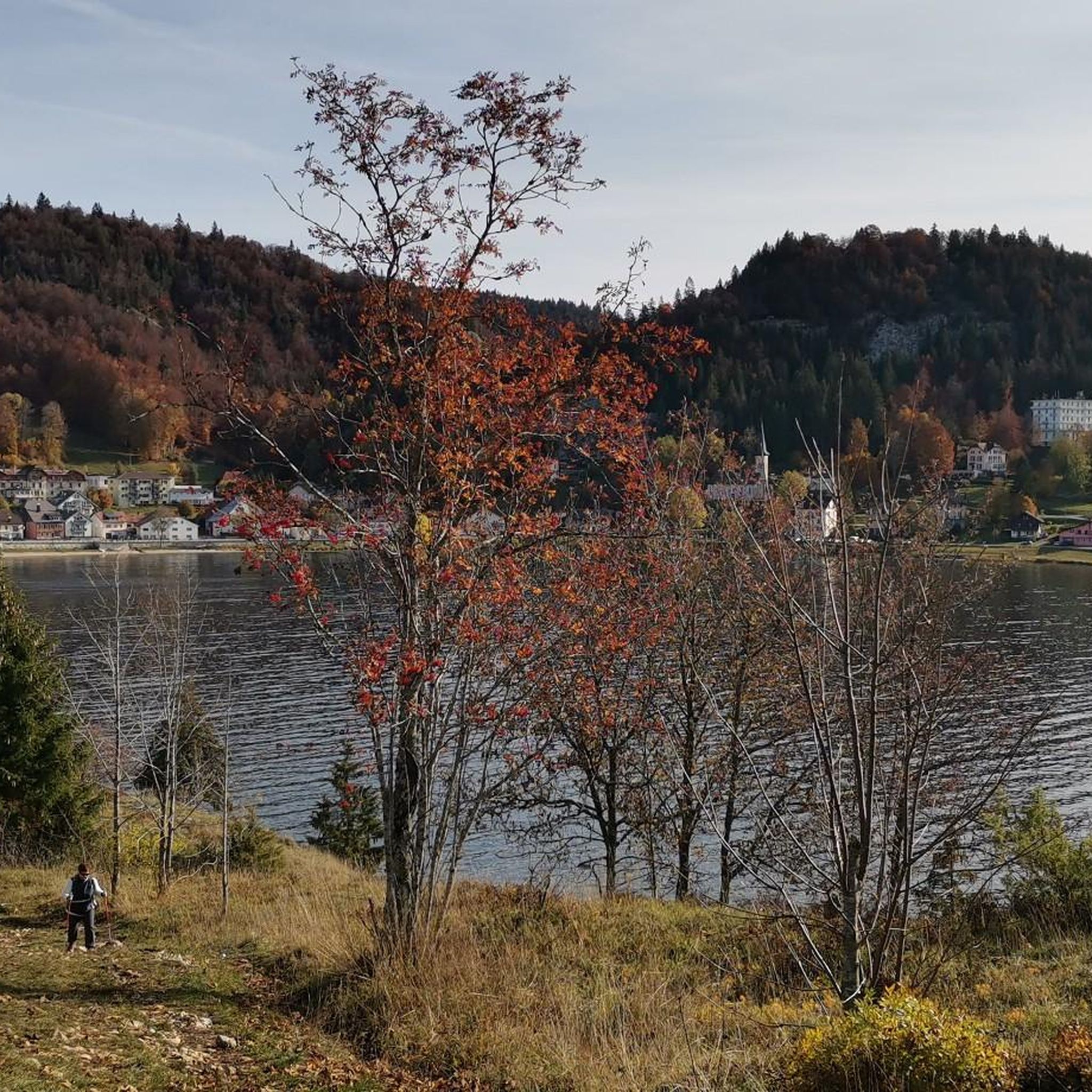
MTB Trails around Lac de Joux
Running Trails around Lac de Joux
Cycling around Lac de Joux
Road Cycling Routes around Lac de Joux

Gravel biking around Lac de Joux
Mountain Hikes around Lac de Joux
Other adventures around Lac de Joux


Tips from the Community

there are other views of the lake which are at least as beautiful. This one is primarily the "best" for drivers
0
0

Beautiful rocky beach and easy to access from the street via stairs.
0
0


Directly in Le Pont: one of the most beautiful views of Lac de Joux
0
0


Unlike elsewhere, the chamois here are not at all frightened. If you walk past them, they simply stay where they are or continue to eat quietly and do not jump away immediately. So you have plenty of time to take photos. They even come right up to the houses to eat.
7
1
We were there at around 10:00 a.m. in rainy weather and completely alone. We saw at least 30 chamois
4
0

Beautiful spot between the big Lac de Joux and its little brother, Lac Brenet.
4
0
Frequently Asked Questions
What kind of terrain can I expect on hikes around Lac de Joux?
The hiking trails around Lac de Joux offer a diverse range of terrain. You'll find extensive lakeside paths, passages through dense fir forests, and open pastures. Some sections feature reedy marshes, while others ascend to higher viewpoints, providing varied landscapes from rugged and unspoiled natural environments to more gentle lakeside strolls. The region is cradled between two Jura mountain chains, offering both flat and elevated experiences.
Are there any easy, family-friendly hiking options in the area?
Yes, Lac de Joux offers several easy paths suitable for families and those looking for a relaxed walk. For instance, the Lac de Joux – Le Pont loop from L'Abbaye is an easy 6.8 km trail that takes about 1 hour 44 minutes, leading through pleasant lakeside paths. Many sections of the main lake circuit are also accessible and suitable for all fitness levels.
What are the best times of year to go hiking around Lac de Joux?
The best times for hiking around Lac de Joux are typically May-June for experiencing the vibrant spring growth, or September-October to enjoy the golden autumn foliage. While many trails are accessible most of the year, winter conditions can bring snow and ice, which might require specific gear or limit access to certain routes.
Are there any circular hiking routes available?
Yes, circular routes are a popular way to explore the area. A prominent option is the Circuit on the edge and heights of Lac de Joux, a 14.4 km moderate trail that offers varied terrain and elevated views. There's also a comprehensive circular route around Lac de Joux itself, often encompassing the smaller Lac Brenet and Lac Ter, with distances ranging from 23-26 km for a full-day hike.
What kind of natural features or landmarks can I see along the trails?
Hiking around Lac de Joux offers views of several natural features and landmarks. You'll encounter the stunning Lac de Joux itself, the largest lake in Switzerland above 1,000 meters. Trails also lead past reedy marshes, dense fir forests, and open pastures. For panoramic views, consider routes that ascend to viewpoints like Dent de Vaulion, which offers magnificent vistas of the lakes and extends as far as Lake Geneva. You might even spot wildlife like Chamois on the Plateau.
Are there places to stop for a picnic or to relax by the water?
Absolutely. Along the hiking paths, especially around the lake, you can discover various vantage points and wild beaches perfect for relaxing. There are also designated picnic areas at Lac de Joux, offering opportunities to take a break and enjoy the scenery or even cool down by the water.
How many hiking trails are available in the Lac de Joux region?
There are over a dozen hiking trails available in the Lac de Joux region, catering to various skill levels. These include 6 easy routes, 4 moderate routes, and 2 more difficult options, ensuring there's a suitable path for almost every hiker.
What do other hikers say about the trails in Lac de Joux?
The routes in Lac de Joux are highly rated by the komoot community, with an average score of 4.6 stars from over 1,300 reviews. Hikers often praise the diverse landscapes, from serene lakeside paths to challenging ascents, and the overall rugged, unspoiled natural environment of the Vallée de Joux.
Are there any longer, more challenging hikes for experienced trekkers?
Yes, for experienced trekkers seeking a challenge, there are longer and more demanding routes. The Lake Joux – Lakeside Path at Lac de Joux loop from Le Lieu is a difficult 29.9 km trail that provides an extensive exploration of the lakeside and surrounding areas, requiring good fitness and sure-footedness.
Can I find amenities like restaurants or accommodation near the hiking trails?
Yes, villages such as Le Pont, Le Sentier, and L'Abbaye are situated along the lakeshore. These villages offer various amenities including restaurants and accommodation, making them convenient bases for your hiking adventures in the Vallée de Joux.
What is the typical elevation gain on hikes in this region?
The elevation gain varies significantly depending on the chosen route. While some lakeside paths are relatively flat, routes like the Grand Tèpe Loop involve moderate ascents, with an elevation gain of around 393 meters. More challenging trails, especially those leading to viewpoints in the Jura mountain chains, can feature higher elevation gains, offering rewarding panoramic views.
Is there a specific trail that showcases the unique hydrology of Lac de Joux?
While there isn't a single trail specifically dedicated to the unique hydrology, many routes around Lac de Joux and Lac Brenet will allow you to observe the peculiar natural feature where the lakes have no surface drainage. Their water trickles away underground, resurfacing kilometers away near Vallorbe, a characteristic that adds to the region's natural intrigue. Exploring the lakeside paths will give you a sense of this distinct environment.
Most popular routes around Lac de Joux
Most popular attractions around Lac de Joux

Get inspired with the komoot mobile app


Explore more
Browse the best Hikes in other regions.
