The best running trails around Etang Rouge
4.5
(4)
151
runners
43
runs
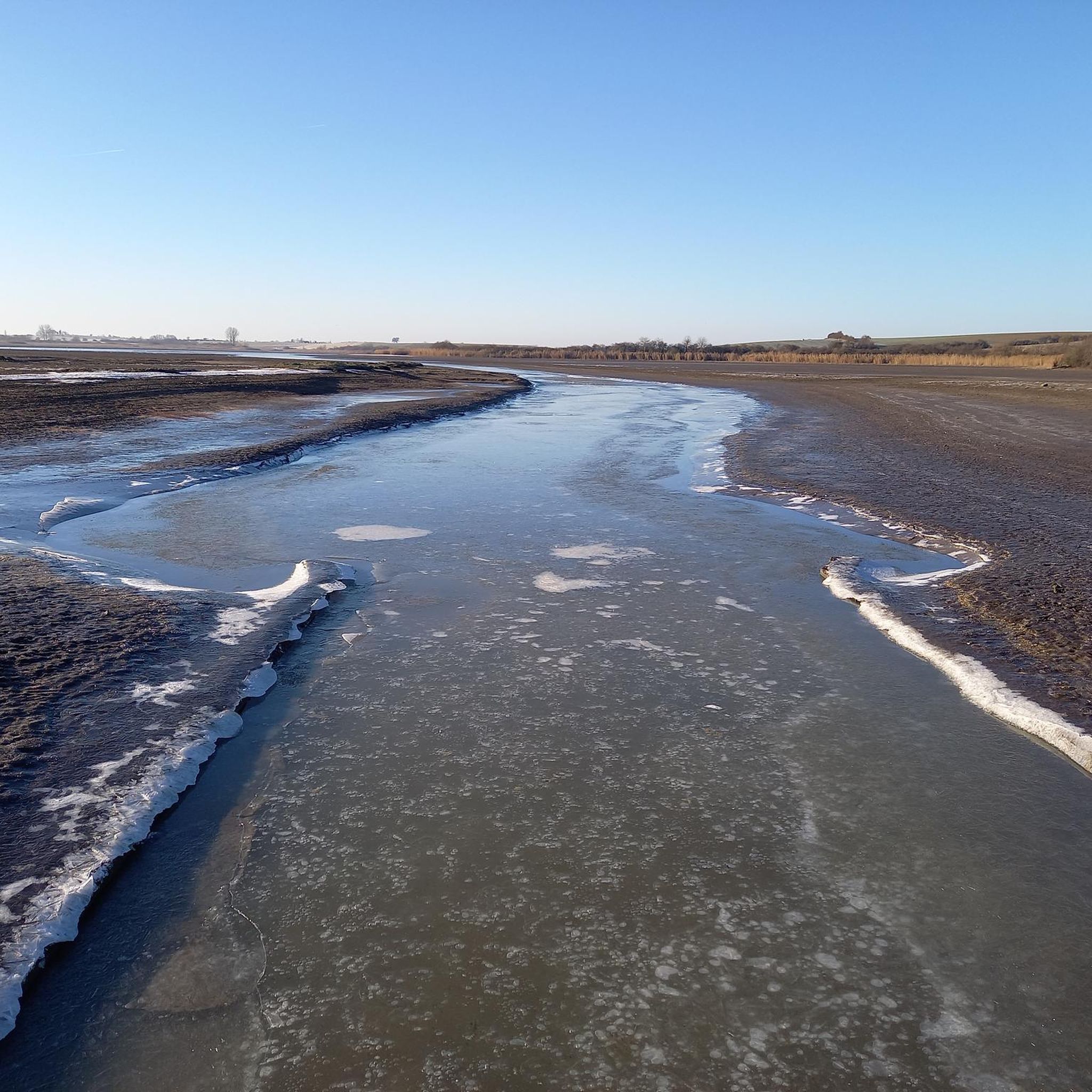
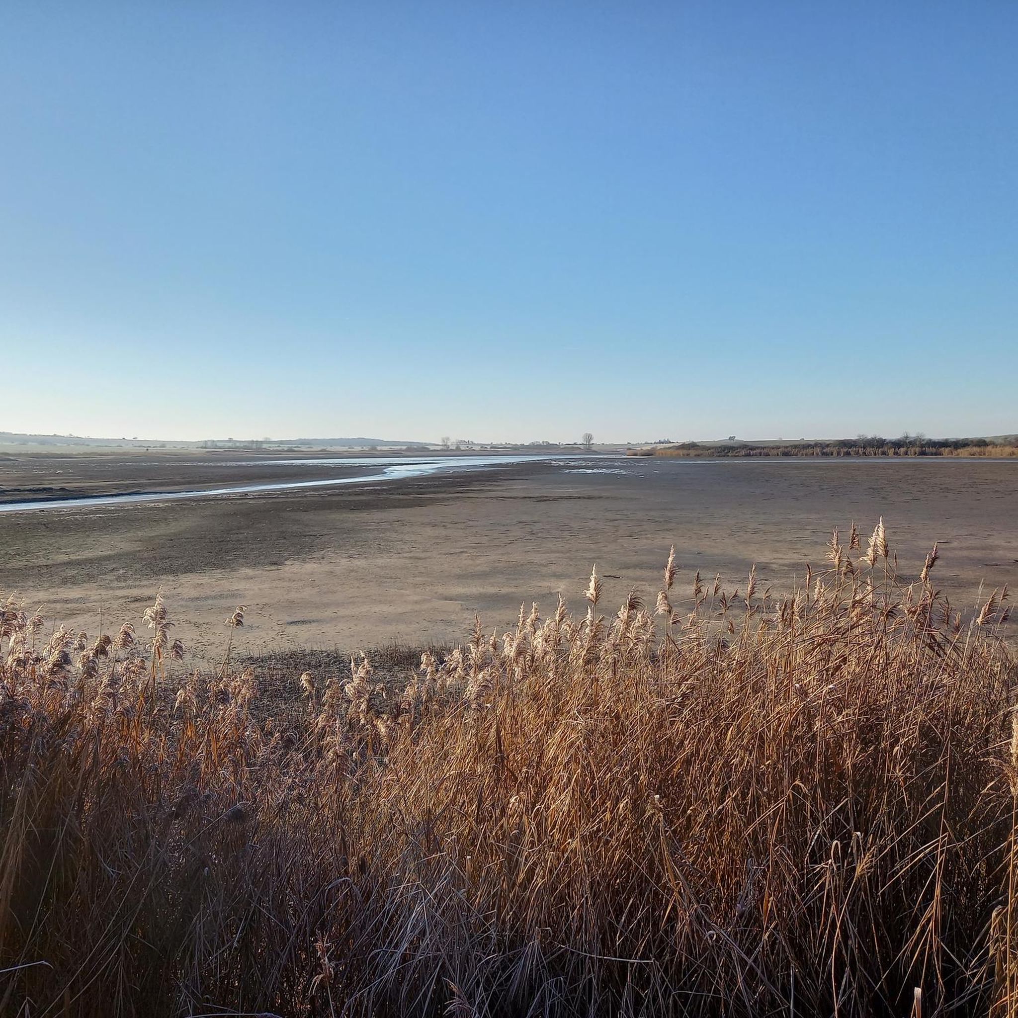
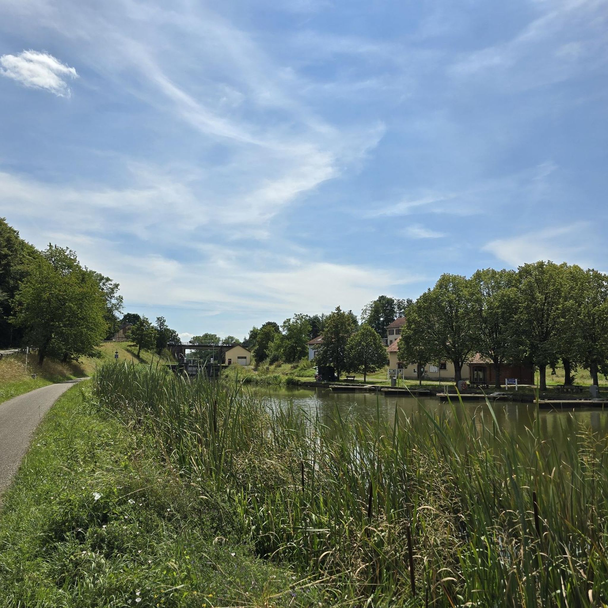
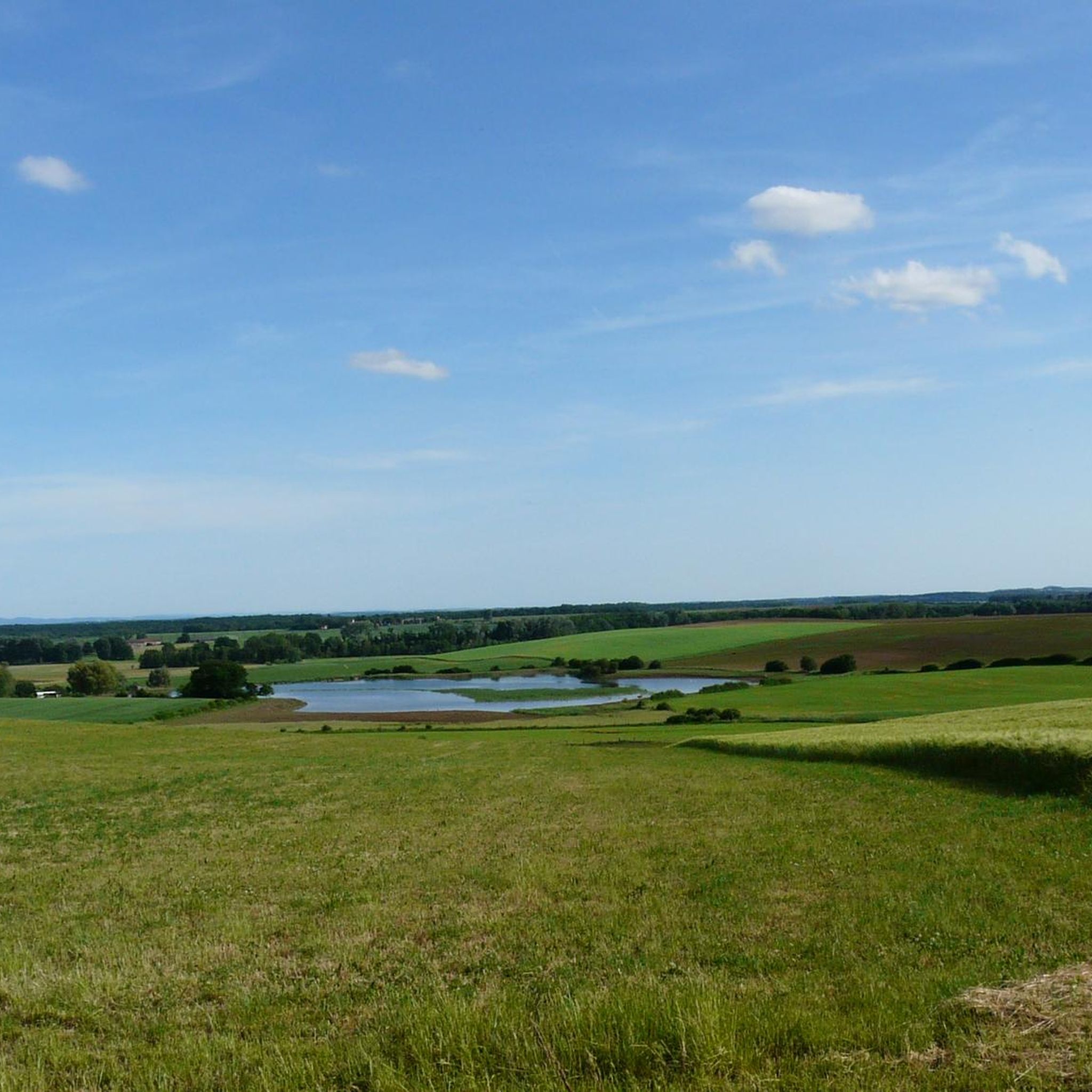
Jogging around Etang Rouge offers a network of routes through a landscape characterized by rolling hills, woodlands, and open fields. The region features gentle elevation changes, making it suitable for various running preferences. Many routes traverse rural areas, providing views of the surrounding countryside. This area provides a mix of terrain for runners to explore.
Best jogging routes around Etang Rouge
- The most popular jogging route is View of Insming – 17th Century Calvary loop from Givrycourt, a 7.4…
Last updated: July 5, 2026
7
runners
11.9km
01:24
70m
70m
Moderate run. Good fitness required. Mostly paved surfaces. Suitable for all skill levels.
2
runners
9.98km
01:10
80m
80m
Moderate run. Good fitness required. Mostly paved surfaces. Suitable for all skill levels.

Sign up for free
6
runners
8.44km
00:53
70m
80m
Moderate run. Good fitness required. Mostly paved surfaces. Suitable for all skill levels.
4.5
(2)
5
runners
8.69km
01:00
50m
50m
Moderate run. Good fitness required. Mostly paved surfaces. Suitable for all skill levels.
5
runners
10.5km
01:08
60m
60m
Moderate run. Good fitness required. Mostly paved surfaces. Suitable for all skill levels.
Get access to more routes and recommendations from other explorers.
Sign up for free
Already have an account?
Our route recommendations are based on thousands of hikes, rides, and runs completed by other people on komoot.
Start today with a free account
Your next adventure awaits.
Login or Signup

Tips from the Community

Cozy, friendly, good 👌
0
0
Friendly service is provided here, and snacks and drinks are available.
0
0

When I passed the ordeal was no longer there 🤷🏻♀️
1
0

A very beautiful sandstone cross from the 17th century.
1
0

“Each of these crosses can tell its own story and what motivated people to erect “their” cross at this spot. (...) These wayside crosses were erected as visible signs and attract the attention of many people. The cross is a symbol of life. It stands as a sign of our Christian hope and aims to direct our gaze to Jesus Christ, who has overcome death (...). The cross is part of our lives, just as it was part of the life of Jesus. So I hope that many people ... will visit the wayside crosses, whether as places of silence and breathing before God, whether as places of community gathering, prayer and praise of God.” (Text source: Dean Rainald M. Ollig in: “Wayside crosses... small sacred monuments as signs of popular piety”)
1
1

Open only from Friday to Sunday from 10:30 a.m. to 8:00 p.m.
1
0
Open only Friday, Saturday and Sunday from 10:30 a.m. to 8:00 p.m. Closed all day Monday to Thursday.
1
0

In 1621, Duke Heinrich II granted market rights to Isming, but the town then suffered during the Thirty Years' War. During the war, an officer saved the city archives in the town hall tower via an underground passage and was able to hold the town for a long time, but then it was also depopulated and the town hall was destroyed. In 1664 there were only 80 households. This cross was erected in front of the south-west entrance to Albestroff, where the old chapel destroyed by the Swedes is said to have stood.
5
0
Frequently Asked Questions
How many running routes are available around Etang Rouge?
There are over 35 dedicated running routes around Etang Rouge, offering a variety of options for different preferences and fitness levels. The region's landscape of rolling hills, woodlands, and open fields provides diverse terrain for runners.
Are there easy jogging routes suitable for beginners in Etang Rouge?
Yes, Etang Rouge offers several easy jogging routes perfect for beginners or those looking for a relaxed run. The region is characterized by gentle elevation changes, making it accessible. You can find options that traverse open fields and woodlands, providing a pleasant experience.
What kind of terrain can I expect on the running trails in Etang Rouge?
The running trails in Etang Rouge feature a mix of terrain, including rolling hills, dense woodlands, and expansive open fields. This variety ensures a dynamic running experience, with routes often providing scenic views of the surrounding countryside.
Are there any circular running routes around Etang Rouge?
Many of the running routes in Etang Rouge are circular, allowing you to start and finish at the same point. For example, the View of Insming – 17th Century Calvary loop from Givrycourt is a popular circular option, as is the Altviller loop from Vibersviller.
What do other runners enjoy most about the trails in Etang Rouge?
The running trails in Etang Rouge are highly rated by the komoot community, with an average score of 4.5 stars. Runners often praise the varied terrain, the scenic views of the countryside, and the peaceful atmosphere found within the woodlands and open fields.
Are the running routes in Etang Rouge suitable for families?
Yes, many of the routes around Etang Rouge are suitable for families, especially those looking for easier or moderate paths. The gentle elevation changes and varied landscapes provide an enjoyable outdoor experience for all ages. It's always recommended to check the specific route details for distance and difficulty.
Can I bring my dog on the jogging routes in Etang Rouge?
Generally, dogs are welcome on many of the outdoor trails in the Etang Rouge region. However, it's always best to check local regulations or specific route details, especially concerning protected areas or private land. Keeping your dog on a leash is usually recommended for their safety and to respect wildlife.
Are there any viewpoints or scenic spots along the running trails?
Yes, the routes around Etang Rouge often offer scenic views, particularly as they traverse rolling hills and open fields. For instance, the View of Insming – 17th Century Calvary loop from Givrycourt is known for its scenic vistas and historical points of interest. Many trails provide picturesque glimpses of the surrounding countryside.
What is the best time of year for running in Etang Rouge?
The best time of year for running in Etang Rouge depends on your preference. Spring and autumn offer pleasant temperatures and beautiful scenery with blooming flowers or vibrant foliage. Summer can be great for early morning or late evening runs, while winter can provide a unique experience on crisp, clear days, though some trails might be muddy or icy.
Are there any longer running routes for experienced runners?
Yes, for experienced runners seeking a longer challenge, Etang Rouge offers several moderate routes. The Wooden owl loop from Vittersbourg, for example, is over 12.5 km (7.7 miles) and features nearly 100 meters of elevation gain, providing a good workout through varied landscapes.
Are there any routes that pass by historical landmarks?
Yes, some running routes in the Etang Rouge area incorporate historical elements. The View of Insming – 17th Century Calvary loop from Givrycourt is a notable example, passing by a 17th-century calvary and offering insights into the region's heritage while you run.
What are the typical elevation changes on Etang Rouge running trails?
The running trails in Etang Rouge are generally characterized by gentle elevation changes, making them suitable for a wide range of runners. While some routes feature rolling hills, significant steep climbs are less common, providing a more consistent running experience through the varied landscape of woodlands and open fields.
Most popular routes around Etang Rouge

Get inspired with the komoot mobile app


Explore more
Browse the best Running Trails & Routes in other regions.
