The best walks and hikes around Lac De Bourdouze
4.5
(1658)
17,347
hikers
178
hikes
Hiking around Lac De Bourdouze offers routes through a landscape shaped by ancient volcanic activity and glacial formations. The region is characterized by high plateaus, a prominent peat bog, and views of the Sancy Massif and Cézallier. Situated at an altitude of 1,150 to 1,170 meters, the area provides diverse terrain for outdoor activities.
Best hiking trails around Lac De Bourdouze
- The most popular hiking route is View of Lake Pavin – Lake Pavin viewpoint loop from Le Bourdouze, a 10.7 miles (17.2 km) moderate trail that takes 4 hours 48 minutes to complete. This route connects Lac de Bourdouze with Lake Pavin, offering scenic viewpoints.
- Another top favourite among local hikers is Lac de Bourdouze – Lake Bourdouze loop from Le Bourdouze, a difficult 10.9 miles (17.5 km) path. This challenging loop provides an extensive exploration of the lake's surroundings.
- Local hikers also love the Lake Bourdouze – Lake Montcineyre loop from Le Bourdouze, a 5.2 miles (8.3 km) trail leading through varied terrain, often completed in about 2 hours 19 minutes.
- Hiking around Lac De Bourdouze is defined by high plateaus, a unique peat bog ecosystem, and panoramic views of the Sancy Massif. The network offers options for different ability levels, from easier walks to more challenging routes.
- The routes in Lac De Bourdouze are highly rated by the komoot community with an average score of 4.5 stars from more than 1,500 reviews. More than 16,000 hikers have used komoot to explore Lac De Bourdouze's varied terrain.
Last updated: June 25, 2026
4.8
(12)
147
hikers
17.1km
04:47
330m
330m
Moderate hike. Good fitness required. Easily-accessible paths. Suitable for all skill levels.
4.7
(3)
40
hikers
17.5km
05:03
430m
430m
Hard hike. Very good fitness required. Easily-accessible paths. Suitable for all skill levels.

Sign up for free
4.1
(9)
20
hikers
8.31km
02:19
150m
150m
Moderate hike. Good fitness required. Easily-accessible paths. Suitable for all skill levels.
4.3
(6)
19
hikers
9.99km
02:43
140m
140m
Moderate hike. Good fitness required. Easily-accessible paths. Suitable for all skill levels.
4.1
(7)
18
hikers
4.37km
01:13
80m
80m
Easy hike. Great for any fitness level. Easily-accessible paths. Suitable for all skill levels.
Get access to more routes and recommendations from other explorers.
Sign up for free
Already have an account?
Our route recommendations are based on thousands of hikes, rides, and runs completed by other people on komoot.
Start today with a free account
Your next adventure awaits.
Login or Signup
Tips from the Community


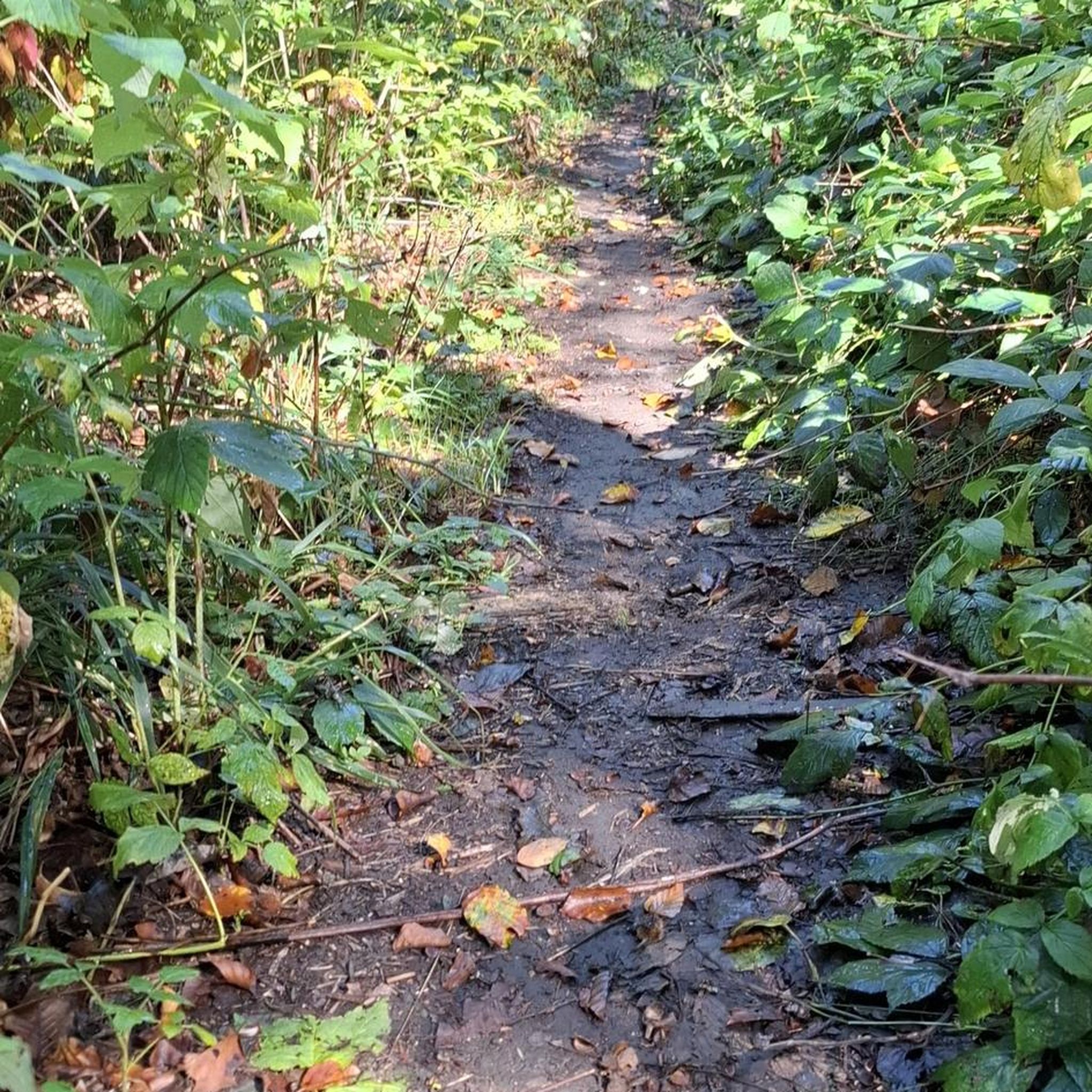
very nice hike especially when the cross-country ski trails are closed
0
0

Nice view over lac Pavin. Perfect to rest during the climb.
1
0

After the difficult climb through the forest, we arrive at Lake Bourdouze
0
0

Huge rock in the shape of a throne at the center of many legends.
1
0

7/2023 - again a subsequent bathing ban with many signs, there is nobody in the water either
0
0

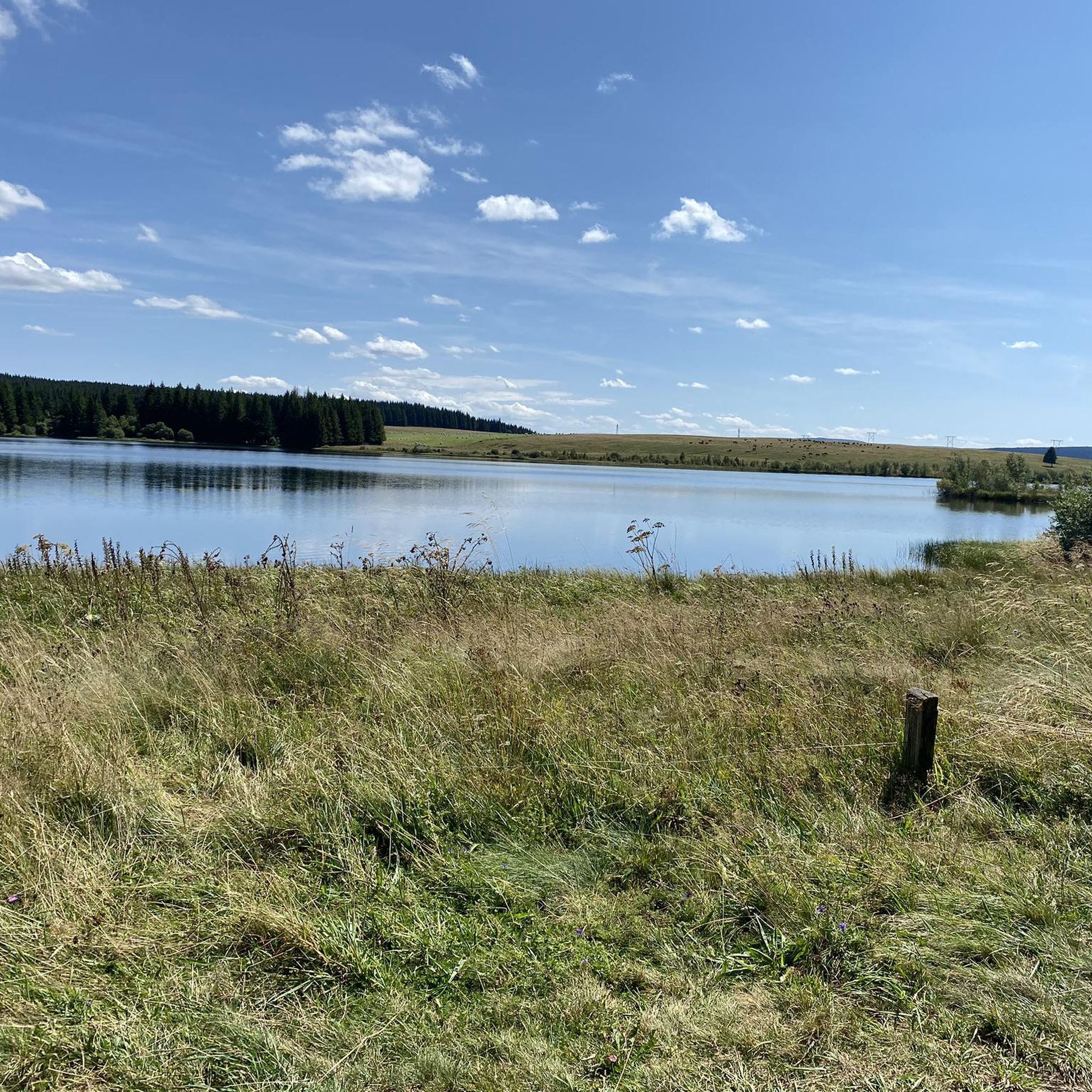
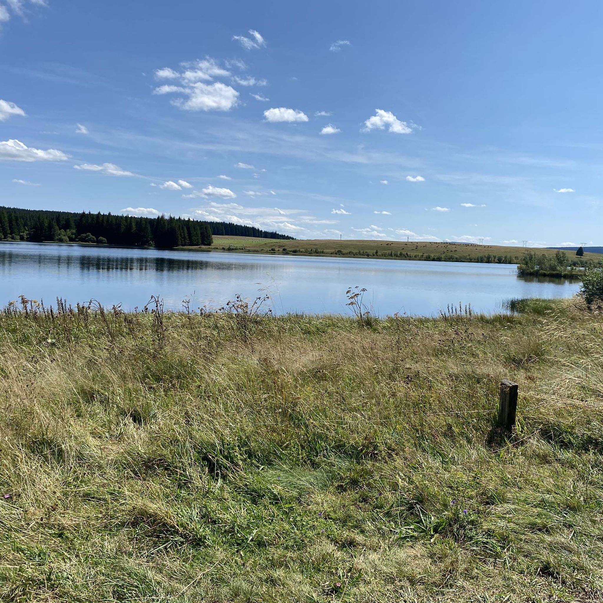
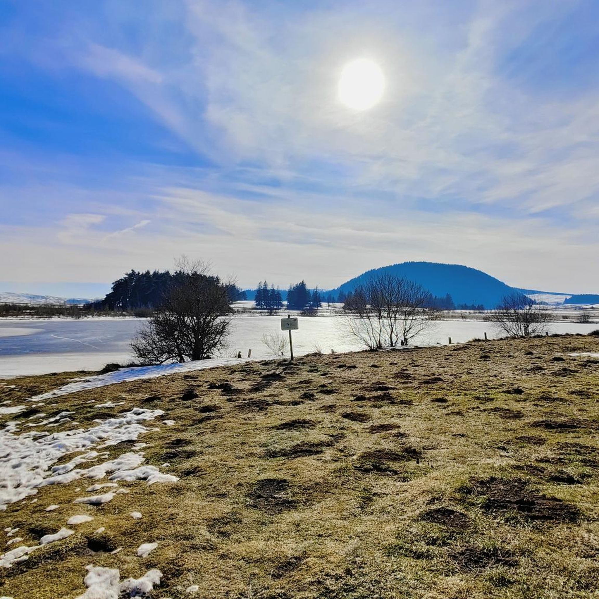
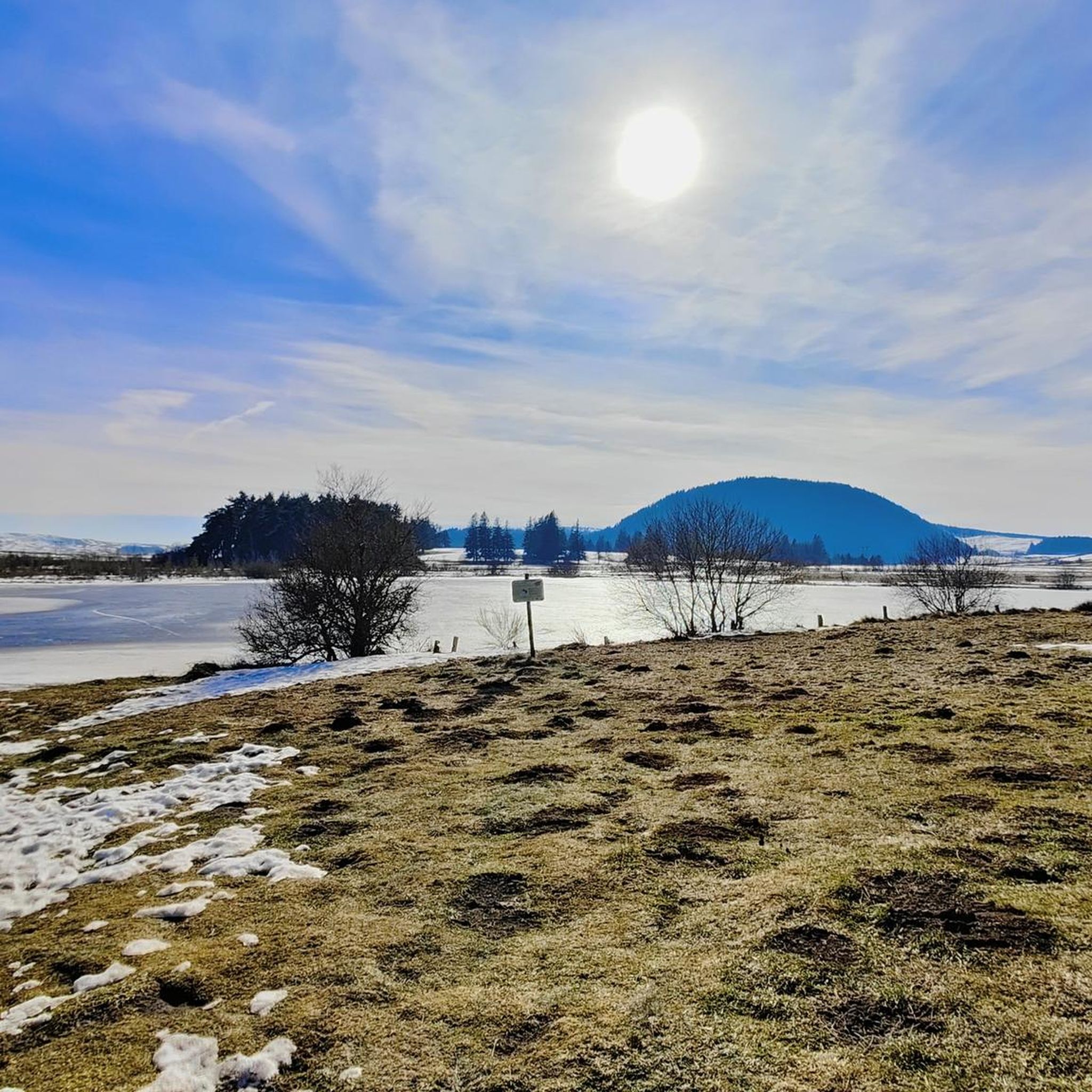
The Lac de Bourdouze is located at an altitude of 1170 meters, in the Massif du Sancy. You can get a good view from the road, and if you want to get closer you can, but it will be on a gravel road. You can access the lake year-round, but it freezes during the winter months.
1
0
Frequently Asked Questions
How many hiking trails are available around Lac De Bourdouze?
There are over 180 hiking routes around Lac De Bourdouze, offering a wide range of options for different skill levels. You'll find 73 easy routes, 91 moderate trails, and 24 more challenging paths to explore the region's unique landscapes.
What kind of natural features can I expect to see while hiking near Lac De Bourdouze?
Hiking around Lac De Bourdouze offers views of pristine high plateaus and the Sancy Massif. The lake itself is a glacial formation, and a significant part is an expanding peat bog, creating a unique ecosystem with specialized flora like Siberian ligular and diverse fauna including protected dragonflies. You can also enjoy panoramic views of the Cézallier in the distance.
Are there any easy, family-friendly hiking options around Lac De Bourdouze?
Yes, there are many easy routes suitable for families. While the peat bog prevents a full circumnavigation directly on the banks, paths like the Lac de Bourdouze loop from Le Bourdouze offer a moderate 8.07 km walk with minimal elevation gain, leading through meadows to the peaceful lake shores. There are 73 easy routes in total.
Can I bring my dog on the hiking trails around Lac De Bourdouze?
Yes, many trails around Lac De Bourdouze are dog-friendly. However, as the area is part of the Auvergne Volcanoes Regional Natural Park and features a delicate peat bog ecosystem, it's always recommended to keep dogs on a leash to protect the local wildlife and flora. Always check specific trail regulations before you go.
Are there circular hiking routes available near Lac De Bourdouze?
Yes, the area offers several circular routes. For example, the Lake Bourdouze – Lac de Bourdouze loop from Anglard is a moderate 9.989 km circular trail that allows you to experience the lake's surroundings without retracing your steps.
What is the best time of year to hike around Lac De Bourdouze?
The best time to hike around Lac De Bourdouze is generally from spring to autumn. Summer offers the chance to see the Siberian ligular bloom in the peat bog. While winter hiking is possible, conditions can be challenging due to snow and ice, especially given the altitude of 1,150 to 1,170 meters.
Are there any challenging hikes for experienced hikers?
Absolutely. For experienced hikers seeking a challenge, the Lac de Bourdouze – Lake Bourdouze loop from Le Bourdouze is a difficult 17.5 km path that provides an extensive exploration of the lake's surroundings and higher elevation gains. There are 24 difficult routes in the area.
Can I connect to other lakes or volcanic sites from Lac De Bourdouze?
Yes, longer hikes integrate Lac de Bourdouze with other volcanic lakes in the region. A popular option is the View of Lake Pavin – Lake Pavin viewpoint loop from Le Bourdouze, a moderate 17.2 km trail that connects to Lake Pavin, offering scenic viewpoints. Another route, the Lake Bourdouze – Lake Montcineyre loop from Le Bourdouze, explores both Lac de Bourdouze and Lac de Montcineyre, showcasing diverse aquatic landscapes born from ancient volcanic activity.
What do other hikers enjoy most about the trails in Lac De Bourdouze?
The trails in Lac De Bourdouze are highly rated by the komoot community, with an average score of 4.5 stars from over 1,500 reviews. Hikers often praise the unique 'Highlands' ambiance, the panoramic views of the Sancy Massif, and the tranquility of the peat bog ecosystem.
Is swimming or camping allowed in Lac De Bourdouze?
To preserve the delicate and fragile peat bog environment, activities such as swimming, most water sports, and camping are prohibited in Lac De Bourdouze. The focus is on nature observation and responsible hiking.
Is fishing permitted in Lac De Bourdouze?
Yes, fishing for pike and perch is permitted in Lac De Bourdouze, provided you have a valid fishing license. This activity is managed to ensure the preservation of the lake's ecosystem.
Are there parking facilities available for hikers?
While specific parking locations are not detailed in every route description, areas like Le Bourdouze, which serve as common starting points for many trails, typically offer designated parking for hikers accessing the Lac De Bourdouze area. It's advisable to check local signage upon arrival.
Most popular routes around Lac De Bourdouze

Get inspired with the komoot mobile app


Explore more
Browse the best Hikes in other regions.
