The best running trails around Étang De Naguilhes
4.4
(8)
546
runners
17
runs
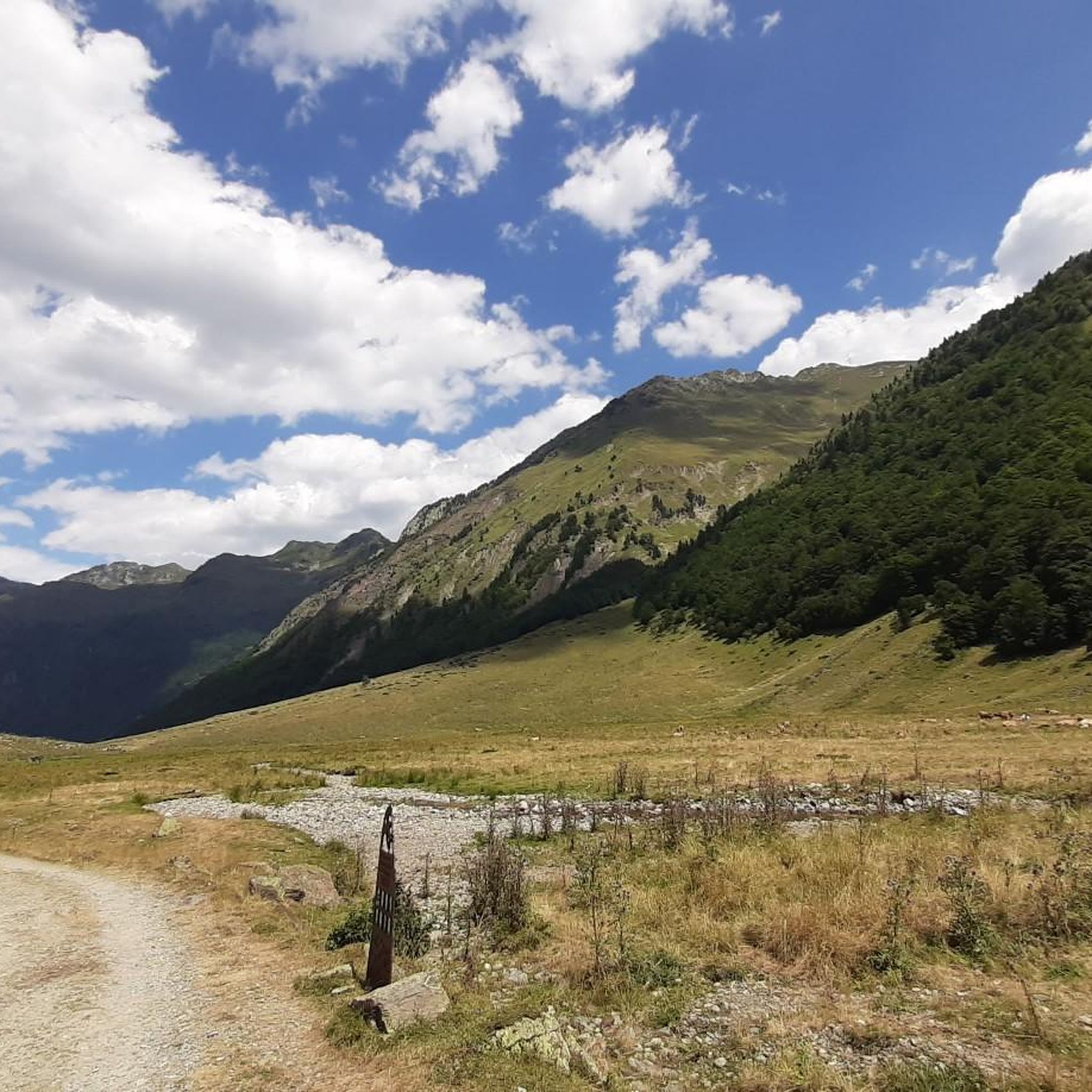
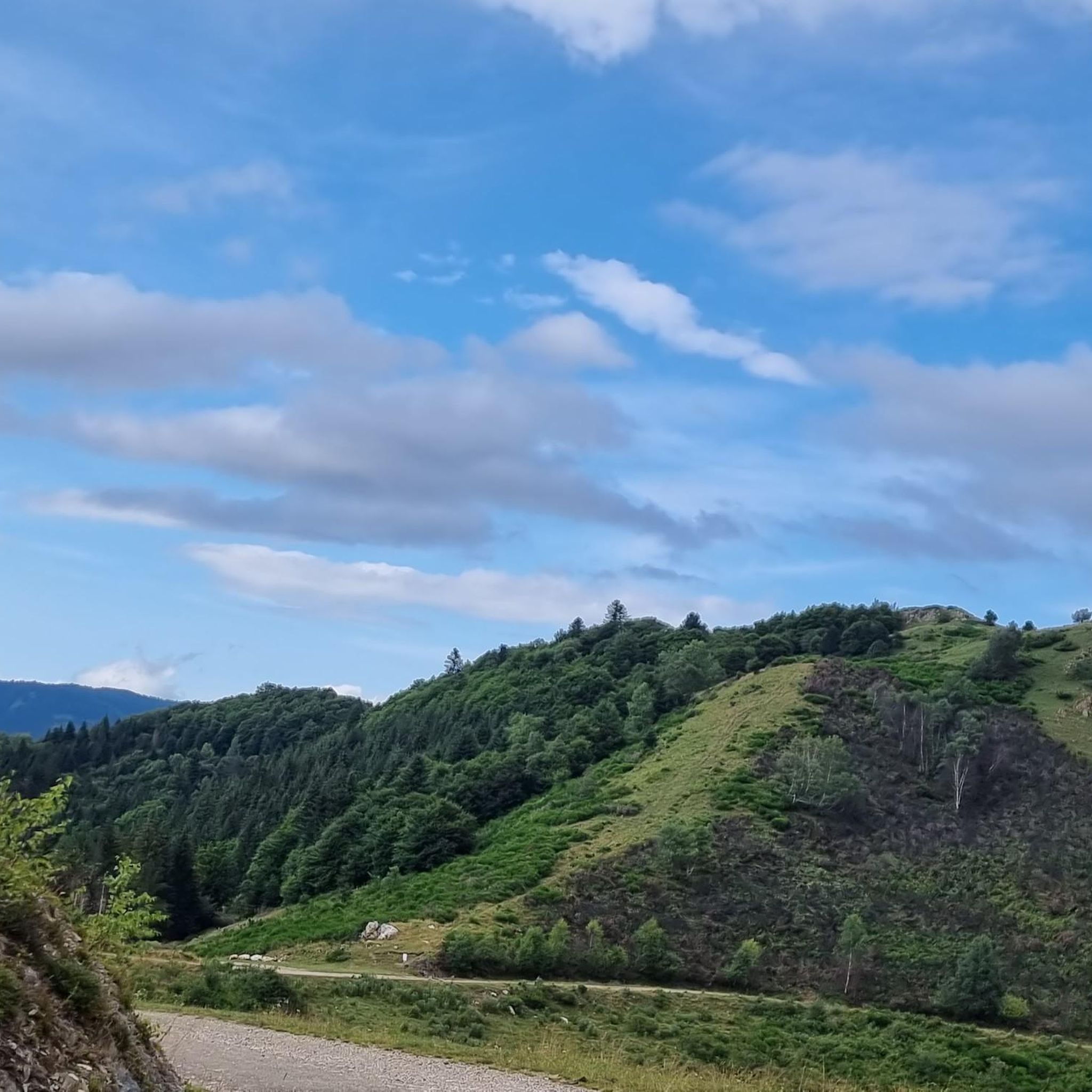
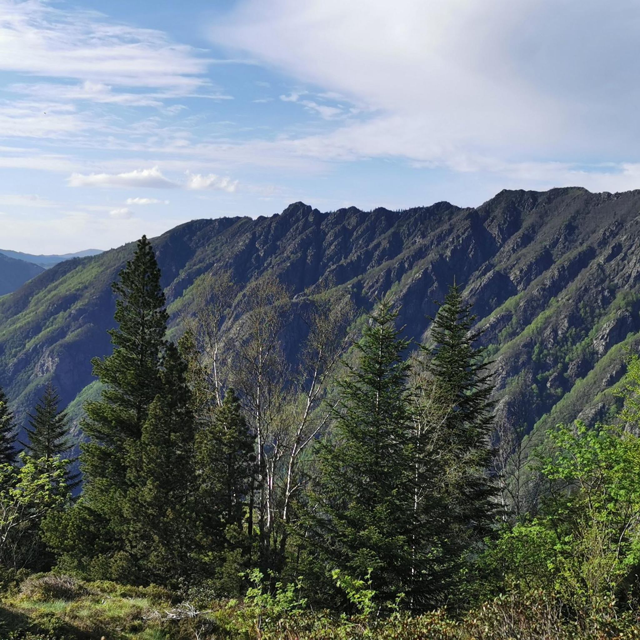
Jogging routes around Étang De Naguilhes are set in the Haute-Ariège region of the French Pyrenees, characterized by mountainous scenery and clear blue mountain water. The area features wooded slopes, high-altitude moors, and granite peaks, with the lake itself situated at an altitude of 1,855 meters. Trails often involve significant elevation changes, winding through forests within the Orlu National Reserve. This environment offers a mix of challenging terrain and preserved natural beauty for runners.
Best jogging routes around Étang De…
Last updated: July 18, 2026
29
runners
17.0km
02:40
900m
900m
Jog this difficult 10.6-mile (17.0 km) trail in the Orlu National Reserve, gaining 2942 feet (897 metres) to reach Étang d'En Beys.
23
runners
10.4km
02:14
1,010m
1,010m
Hard run. Very good fitness required. Mostly paved surfaces. Suitable for all skill levels.

Sign up for free
9
runners
9.13km
01:14
290m
290m
Moderate run. Good fitness required. Mostly paved surfaces. Suitable for all skill levels.
5.0
(1)
64
runners
28.3km
04:48
1,630m
1,630m
Hard run. Very good fitness required. Mostly paved surfaces. Suitable for all skill levels.
29
runners
20.7km
03:02
960m
960m
Hard run. Very good fitness required. Mostly paved surfaces. Suitable for all skill levels.
Get access to more routes and recommendations from other explorers.
Sign up for free
Already have an account?
Our route recommendations are based on thousands of hikes, rides, and runs completed by other people on komoot.
Start today with a free account
Your next adventure awaits.
Login or Signup

Tips from the Community

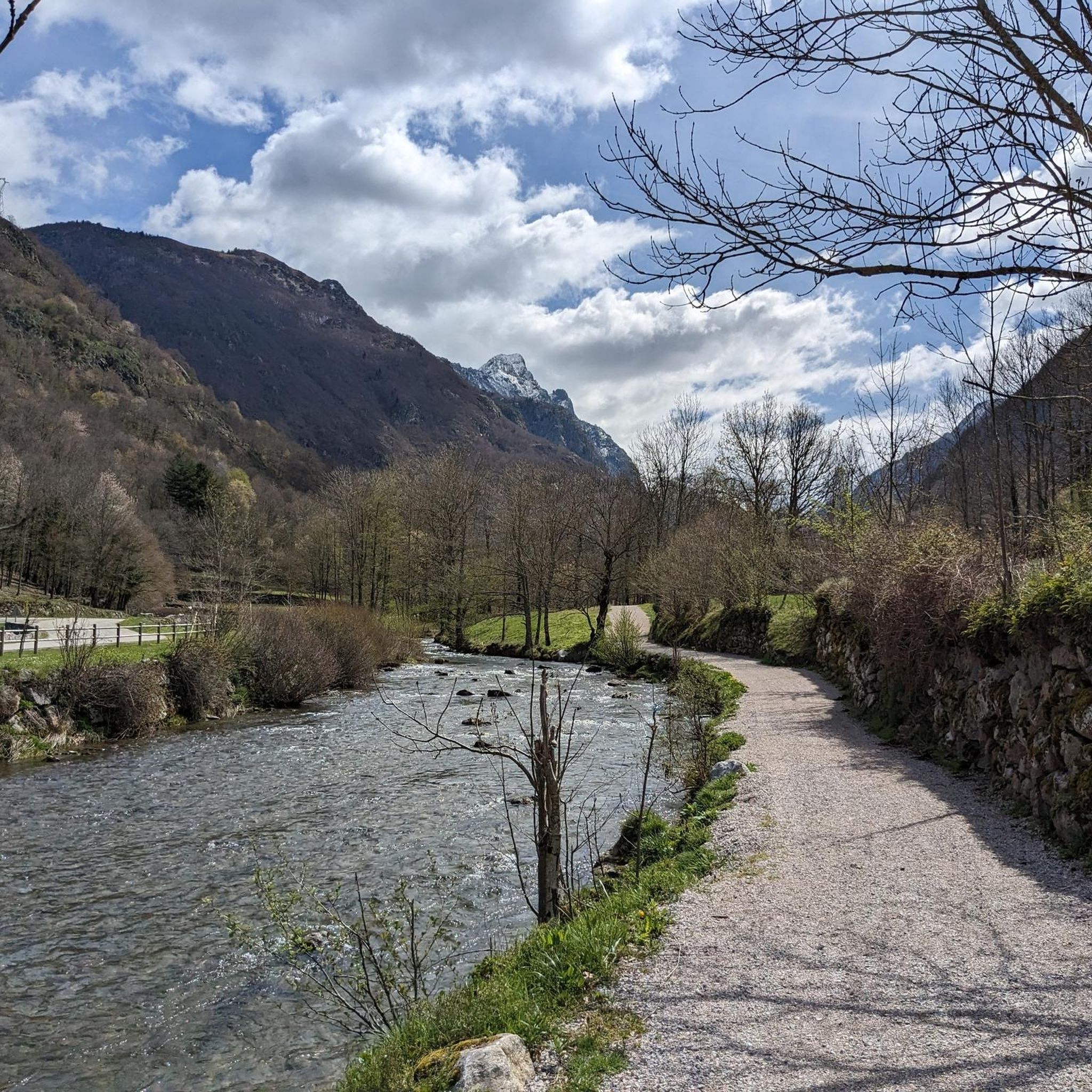
A spectacular route along its river and tributaries, its lake and its special characteristics make it very beautiful and entertaining.
1
0

In Occitan toponymy, a “couillade” means “pass”. That of en Beys culminates at 2,345 meters above sea level and separates the peak of Peyrisses and the peak of en Beys. It links the Peyrisses ponds to the north and the Couillade pond to the south and is used by the GRP Tour des Montagnes d'Ax.
1
0
Lake Campauleil has existed since 1941, following the construction of a dam by EDF. It culminates at 814 meters above sea level and becomes, thanks to the dam, a small paradise for fisherman. Easily accessible, the lake becomes an ideal place to relax or enjoy a good picnic with family or friends.
2
0
Orgeix is a small, bucolic village nestled on the right bank of the Oriège River. This rural commune of barely 100 inhabitants is like a haven of serenity overlooking the sometimes turbulent Oriège River. On mild summer days, its bucolic streets invite contemplation. If you're not pressed for time, cross the stone bridge, sit at the foot of the church, and strike up a conversation with the locals, who are always willing to share their stories of village life.
2
0
On the shores of Oriège, the Ioules campsite is a small three-star campsite, located at the exit of Orlu at the gates of its National Reserve. All amenities are there. The atmosphere is pleasant and warm. The campsite acts as a stopover on the GRP® Tour des Montagnes d'Ax but can very well serve as a base camp for exploring all the massifs that outcrop the Oriège valley. It is open from April 1 to November 1 and offers 89 pitches. More information on: www.camping-chalets-orlu.com
0
0
The Etang de Naguilles is a dam lake which supplies the hydroelectric power station of Orlu. With an area of almost 100 hectares, it culminates at 1,855 meters. Now in industrial use, the pond has long animated local tales and legends. The Ariégeois say that the pond of Naguilles was born from the meeting of a blacksmith and the beast of the forest of Naguilles. The blacksmith allegedly gave the ferocious ferocious beast a white-hot iron bar. The beast, then thirsty, would have emptied all the water sources of the mountain before exploding at the current location of the pond.
0
1
The En Beys refuge which overlooks the eponymous ponds culminates at an altitude of 1,970 meters, in the heart of the Orlu national reserve. Situated on the great GR 7 which connects the Vosges to the Pyrenees, the refuge remains an excellent detour for the GRP® tour of the Ax Mountains or Tour des Pérics. In a warm and family setting, the refuge guardians offer 70 beds in high season as well as a complete catering offer. In winter, 15 places remain freely accessible, accessible through the window at the top of the ladder which fits on one of the walls of the building. The refuge is an ideal place to observe the burning of the granite walls of the Pics Rouges at sunset, or the galloping chamois in the snowfields in the early morning. If you wish to extend your stay for one night, do not hesitate to contact the refuge on 05 61 64 24 24 to find out about opening dates and bed availability.
2
1
Frequently Asked Questions
What kind of terrain can I expect on the running routes around Étang de Naguilhes?
The terrain around Étang de Naguilhes is primarily mountainous, featuring significant elevation changes. You'll encounter wooded slopes, high-altitude moors, and granite peaks. The trails wind through forests within the Orlu National Reserve, offering a wild and preserved environment. Due to the altitude and challenging landscape, routes are generally considered moderate to difficult.
Are there any easy jogging routes for beginners in the Étang de Naguilhes area?
The running routes around Étang de Naguilhes are generally challenging. The network offers options for both moderate and difficult ability levels, with no easy routes available. Most trails involve substantial elevation gain and require a good level of fitness.
What are some notable natural features or points of interest I might see while running?
While running, you'll experience breathtaking mountainous scenery, clear blue mountain water, and views of granite peaks like the Pic de Cimet (2,423 m). The area is within the Orlu National Reserve, known for its rich biodiversity. You might also encounter other high-altitude lakes such as Étang de Deroun and Étang de Tort, and the historic dams that expanded Étang de Naguilhes.
How long do the running trails typically take to complete?
The duration varies depending on the route and your pace. For example, the Étang d'En Beys Trail, which is 17.0 km (10.6 miles) and difficult, typically takes around 2 hours 39 minutes. A longer, more challenging route like the En Beys Lake and Refuge – Orlu Valley loop from Forges d'Orlu (24.9 km / 15.5 miles) can take over 4 hours.
Is there parking available near the trailheads for these running routes?
While specific parking locations aren't detailed for every trailhead, routes often start from areas like Forges d'Orlu or Le Fanguil-Chalet, which are common access points for outdoor activities in the region. It's advisable to check the starting point of your chosen route for specific parking information.
Are there any circular running routes around Étang de Naguilhes?
Yes, there are several circular running routes. A popular option is the Naguille Lake loop from Forges d'Orlu, which is 10.4 km (6.5 miles) and takes about 2 hours 10 minutes. Another is the En Beys Lake and Refuge – Orlu Valley loop from Forges d'Orlu, a longer 24.9 km (15.5 miles) option.
What do other runners say about the trails in this area?
The running routes around Étang de Naguilhes are highly rated by the komoot community, with an average score of 4.5 stars from 9 reviews. Over 600 runners have used komoot to explore the varied terrain, often praising the stunning mountainous scenery and the preserved natural beauty of the Orlu National Reserve.
Are the running trails around Étang de Naguilhes suitable for families?
Given the significant elevation gains and challenging terrain, most running routes around Étang de Naguilhes are better suited for experienced trail runners or families with older children who are accustomed to strenuous mountain hikes. There are no easy routes, so consider your family's fitness level carefully.
Can I bring my dog on the running routes?
The Étang de Naguilhes area is within the Orlu National Reserve, which is a protected natural space. While many natural areas in France allow dogs on leash, it's always best to check specific regulations for the Orlu National Reserve to ensure compliance and protect the local wildlife.
Are there any places to stop for refreshments or accommodation along the routes?
For those on longer treks, the En Beys refuge, overlooking the eponymous ponds, offers accommodation and catering. This can be an excellent detour for extended excursions. Otherwise, amenities like cafes or restaurants are generally found in nearby villages rather than directly on the high-altitude trails.
What is the best season for running in the Étang de Naguilhes region?
The best time to visit and run is typically during the warmer months, from late spring to early autumn, when the trails are clear of snow and ice. The high altitude means that conditions can be challenging outside of these seasons, with snow persisting well into spring and appearing early in autumn. Always check local weather conditions before heading out.
How many running routes are available in the Étang de Naguilhes area?
There are 17 running routes available around Étang de Naguilhes, offering a variety of moderate to difficult options for exploring the mountainous landscapes of the Haute-Ariège region.
Most popular routes around Étang De Naguilhes

Get inspired with the komoot mobile app


Explore more
Browse the best Running Trails & Routes in other regions.
