The best mountain hikes around Lac De Matemale
4.9
(8)
47
hikers
11
hikes
Mountaineering around Lac de Matemale is characterized by its high-altitude setting within the Capcir plateau, an ancient glacial basin in the Pyrénées-Orientales. The region features the artificial Lac de Matemale at 1,541 meters, surrounded by the ancient Matte forest of Scots pines. Panoramic views of peaks like Formiguer, Mount Llaret, and Pérics define the landscape, which is part of the Catalan Pyrenees Regional Natural Park. This diverse terrain, ranging from forested paths to higher alpine environments, offers varied mountaineering experiences.
…Last updated: July 4, 2026
4.7
(3)
10
hikers
12.6km
04:34
370m
370m
Moderate mountaineering route. Good fitness required. Mostly accessible paths. Sure-footedness required.
11
hikers
26.7km
08:55
1,270m
1,270m
Hard mountaineering route. Very good fitness required. Easily-accessible paths. Suitable for all skill levels.

Sign up for free
5
hikers
11.1km
03:31
370m
370m
Hard mountaineering route. Good fitness required. Sure-footedness, sturdy shoes and alpine experience required.
5.0
(2)
4
hikers
16.8km
05:37
550m
550m
Hard mountaineering route. Very good fitness required. Mostly accessible paths. Sure-footedness required.
5.0
(2)
9
hikers
8.03km
02:54
260m
260m
Moderate mountaineering route. Good fitness required. Mostly accessible paths. Sure-footedness required.
Get access to more routes and recommendations from other explorers.
Sign up for free
Already have an account?
Our route recommendations are based on thousands of hikes, rides, and runs completed by other people on komoot.
Start today with a free account
Your next adventure awaits.
Login or Signup
Tips from the Community

This super panoramic trail overlooks the El Galba watercourse, and offers all along a superb panorama of the Galbe valley. You are thus accompanied by fir trees, large green meadows and the mineral, snow-capped peaks in the background.
0
0
The L'abri de la Jasse is an open hut that allows you to stop for the night, but also to take a break sheltered from the sun or rain. It is set in a magnificent, peaceful natural setting, in the middle of a clearing dotted with pine trees.
0
0

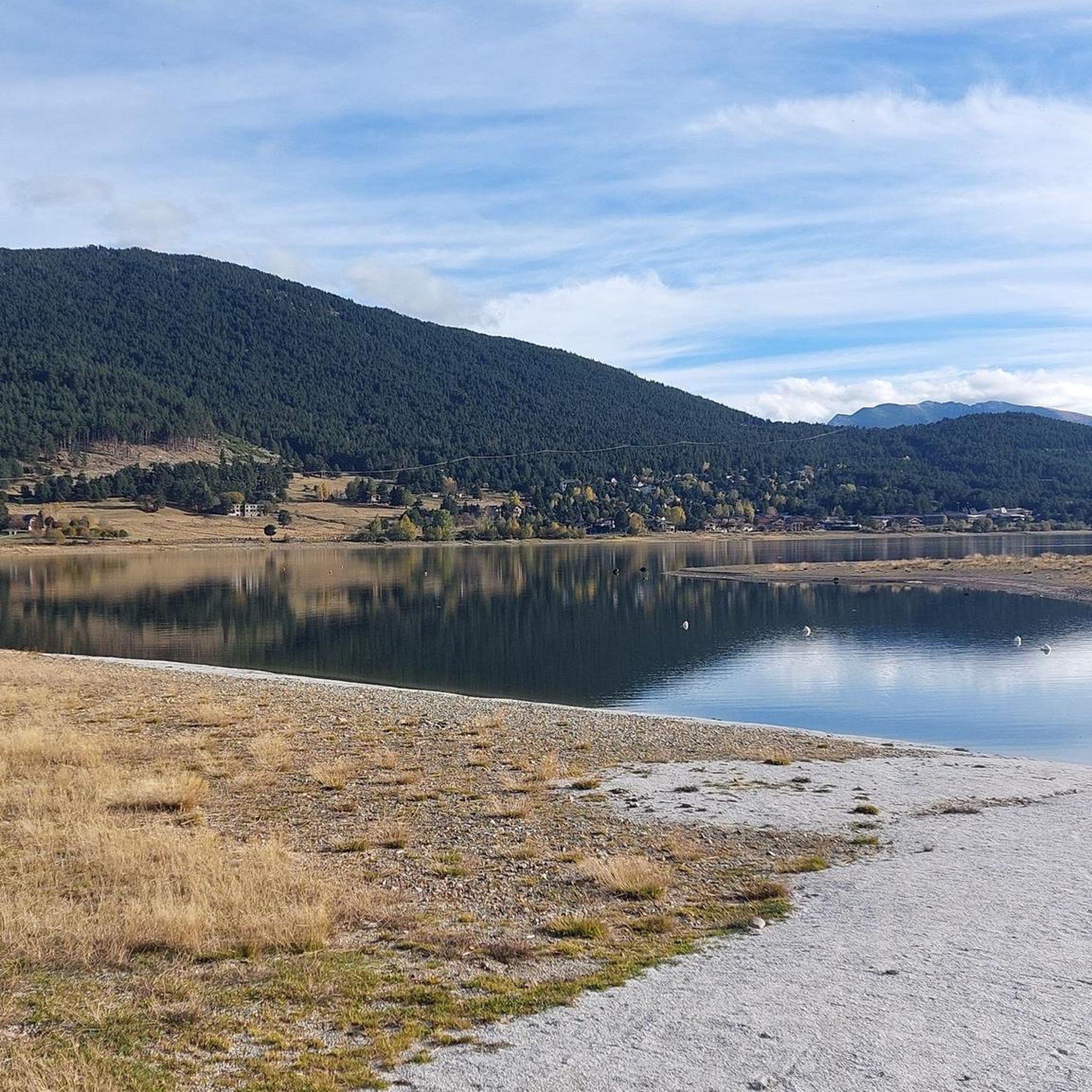
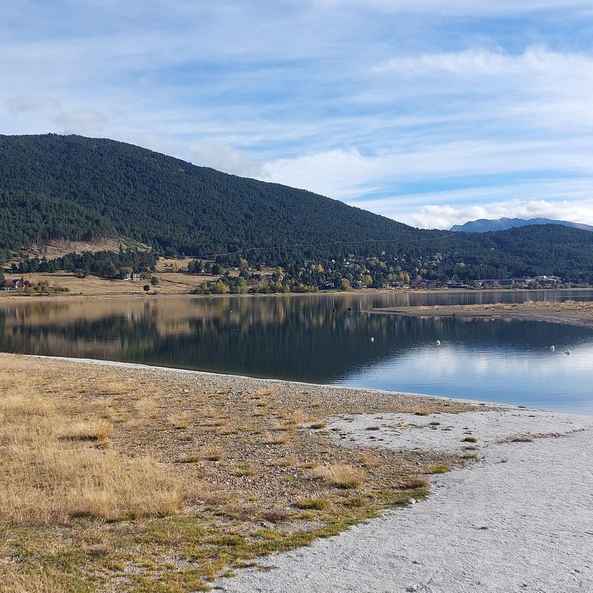
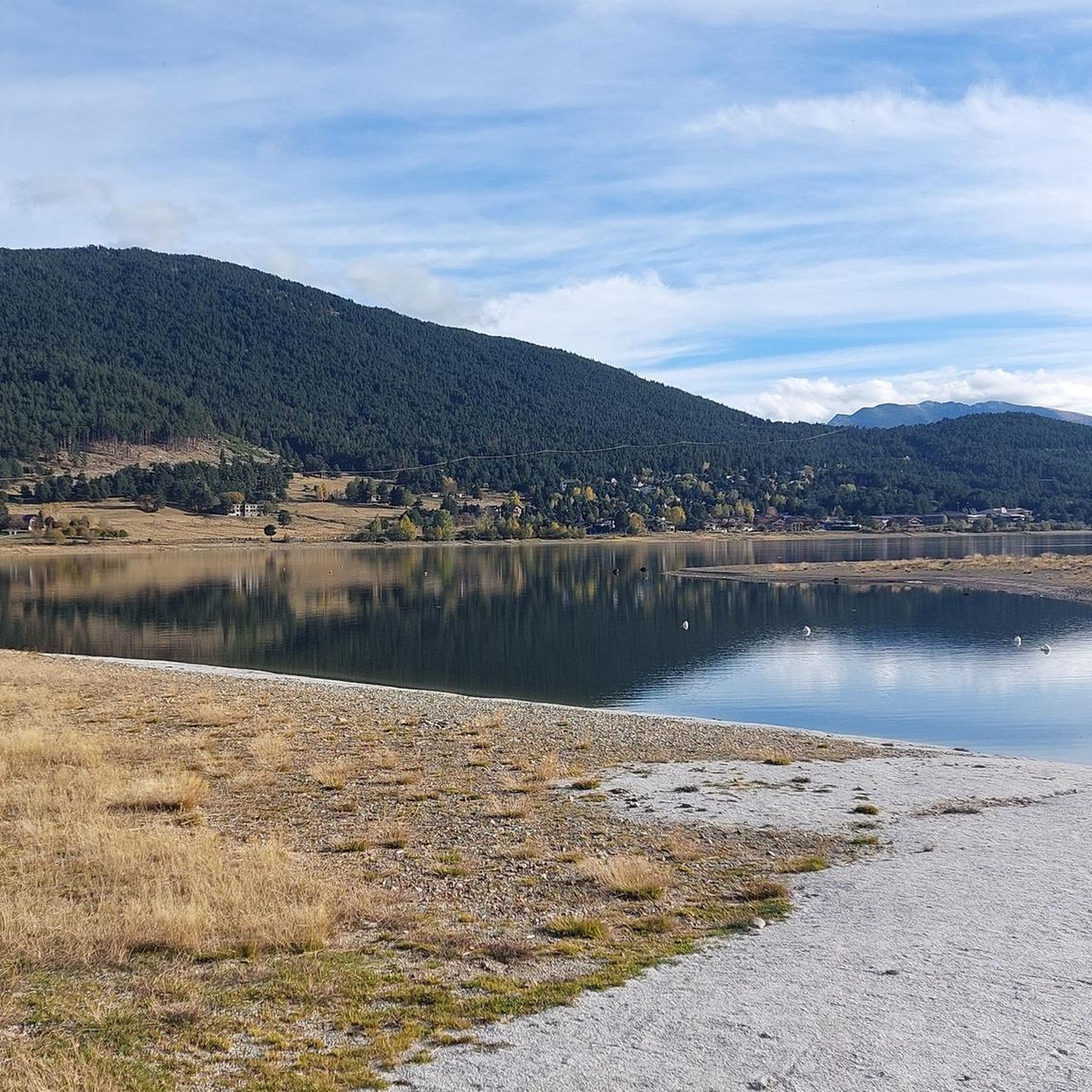
A superb lake reflecting the neighboring peaks. The morning light amplifies this mirror effect.
0
0

Snowshoeing itinerary in the Bulloses area https://www.youtube.com/watch?v=esdackshECU
0
0


Estany de la Pradella, also called the pond or lake of Pradeilles, is a beautiful mountain lake in the Pyrénées-Orientales. A superb setting for cycling in the heart of nature.
0
0

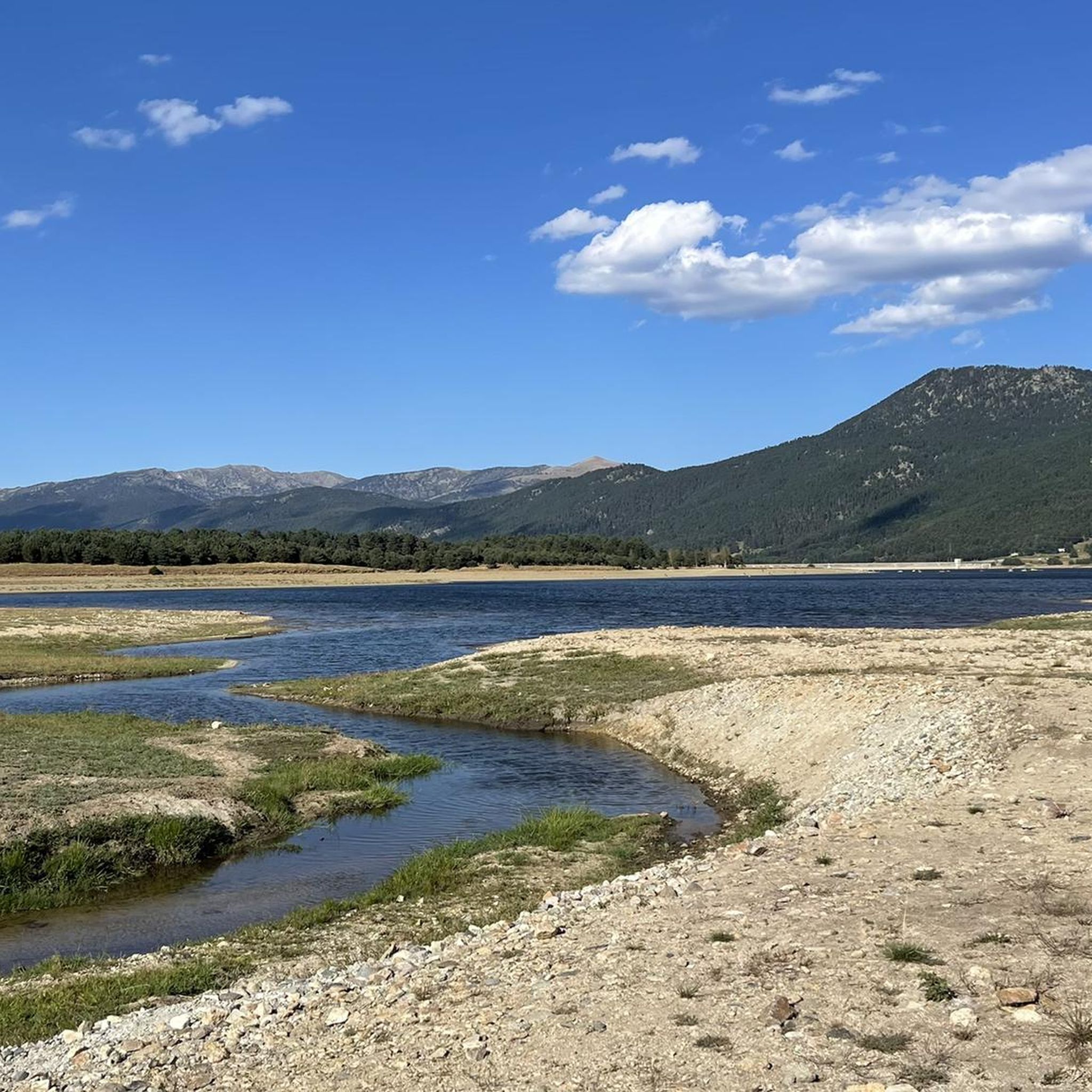
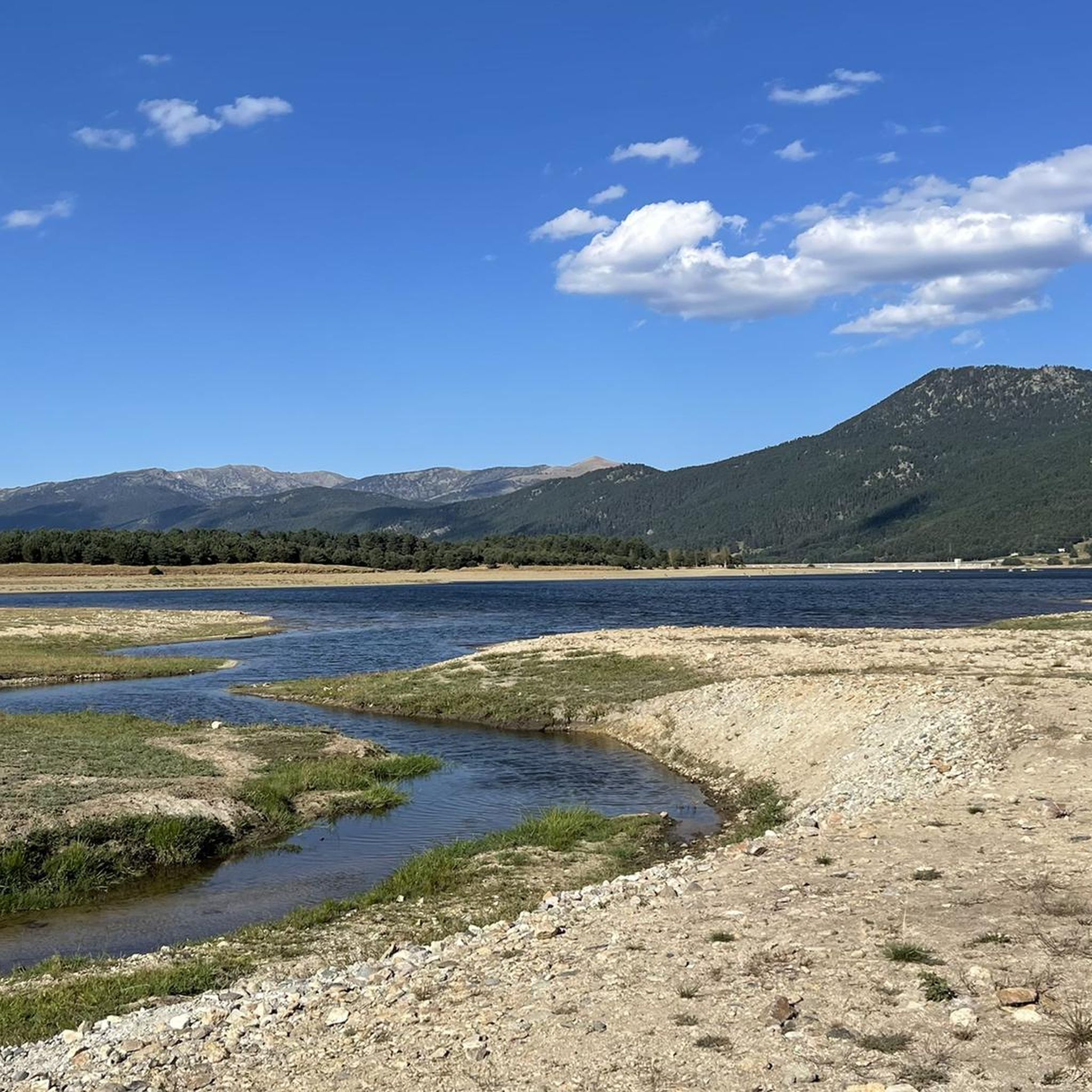
Nestled in a glacial basin, this small lake often lies dry in summer, revealing an impressive mineral setting, surrounded by meadows and imposing peaks. The trails leading to the lake offer magnificent views of the surrounding mountains and allow you to enjoy the tranquility of this timeless place.
1
0
Frequently Asked Questions
What kind of mountaineering routes can I find around Lac De Matemale?
The region offers a diverse range of mountaineering experiences. You'll find routes suitable for various skill levels, from moderate ascents to challenging high-mountain trails. There are 13 mountaineering routes in total, with 1 easy, 6 moderate, and 6 difficult options.
Are there any family-friendly or beginner mountaineering routes?
While many routes are moderate to difficult, there is at least one easy mountaineering route available. For a more relaxed experience, the area around Lac de Matemale and through the Forêt de la Matte offers numerous marked trails that are suitable for families and beginners, though these might be more akin to hiking than technical mountaineering.
Which routes offer the best panoramic views or access to high peaks?
For expansive views, consider the difficult route, Serra da Mauri (2,412 m) – Lakes of Camporells loop from Formiguères. This 28 km path ascends to Serra da Mauri, providing stunning vistas of the Camporells lakes and surrounding high peaks. Another challenging option is the Les Bones Hores Bar & Restaurant – Peak Carlit loop from Pla des Avellans, which leads towards Pic Carlit, the highest peak in the Pyrénées-Orientales.
Are there circular mountaineering routes available?
Yes, several routes are designed as loops. For example, the moderate Refuge Bernardi (1930 m) – Lake Aude loop from Les Angles offers views of Lake Aude over 12.6 km. Another option is the difficult Pradeilles pond – Étang Noir loop from Pla des Avellans, covering 11.1 km.
What natural features or landmarks can I expect to see along the routes?
Mountaineering routes in this region often traverse the high-altitude Capcir plateau, offering views of dense pine forests like the Forêt de la Matte, and granite massifs. You'll encounter numerous sparkling lakes, including Lac de Matemale itself, Lake Aude, and the Lakes of Camporells. The landscape is defined by panoramic views of peaks such as Formiguer, Mont Llaret, and Pérics, all within the Catalan Pyrenees Regional Natural Park.
What is the best time of year for mountaineering in this region?
The region benefits from a mild and sunny climate, influenced by the Mediterranean. Late spring to early autumn is generally ideal for mountaineering, offering pleasant weather conditions. Winter ascents, especially to higher peaks like Pic Carlit, require specialized equipment such as crampons and ice axes due to snow and ice.
Are dogs allowed on the mountaineering trails around Lac De Matemale?
The Capcir region is part of the Catalan Pyrenees Regional Natural Park. Generally, dogs are permitted on trails but must be kept on a leash to protect local wildlife, including mouflon and chamois. Always check specific trail regulations before heading out.
Is there parking or public transport access to the trailheads?
While specific parking details for each trailhead are not provided, common starting points like Les Angles, Formiguères, and Pla des Avellans typically offer parking facilities. Public transport options to the Matemale village and surrounding areas exist, but may require planning, especially for reaching more remote trailheads.
Are there places to eat or stay near the mountaineering routes?
Yes, the area offers various options. Matemale village, Les Angles, and Formiguères are nearby hubs with cafes, pubs, and accommodation. For example, the Les Bones Hores Bar & Restaurant – Peak Carlit loop from Pla des Avellans route even starts near an establishment, providing convenient access to refreshments.
Do I need any permits for mountaineering in the Lac De Matemale area?
Mountaineering in the Catalan Pyrenees Regional Natural Park generally does not require specific permits for hiking or trekking on marked trails. However, for certain activities like rock climbing or bouldering in specific areas (e.g., Targasonne), or for guided expeditions, it's always advisable to check with local authorities or guiding services for any specific requirements or regulations.
What do other mountaineers enjoy the most about mountaineering in Lac De Matemale?
The area is highly rated by the komoot community, with an average score of 4.9 stars. Reviewers often praise the diverse terrain, ranging from high-altitude plateaus and dense pine forests to stunning views of granite massifs and sparkling lakes. The variety of routes, from moderate to challenging, is also frequently highlighted.
Most popular routes around Lac De Matemale

Get inspired with the komoot mobile app


Explore more
Browse the best Mountain Hikes & Routes in other regions.
