The best walks and hikes around Étang Du Malsaucy
4.4
(685)
5,270
hikers
270
hikes
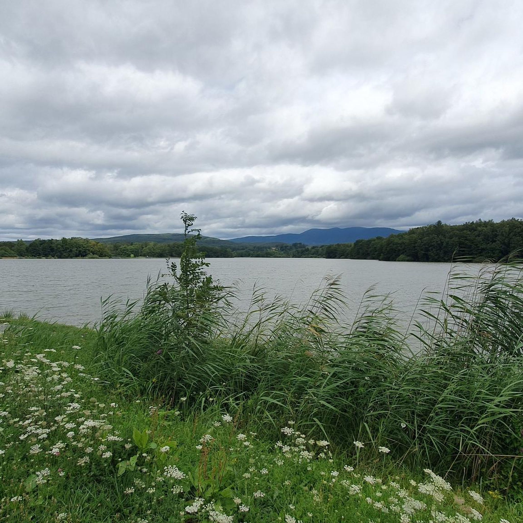
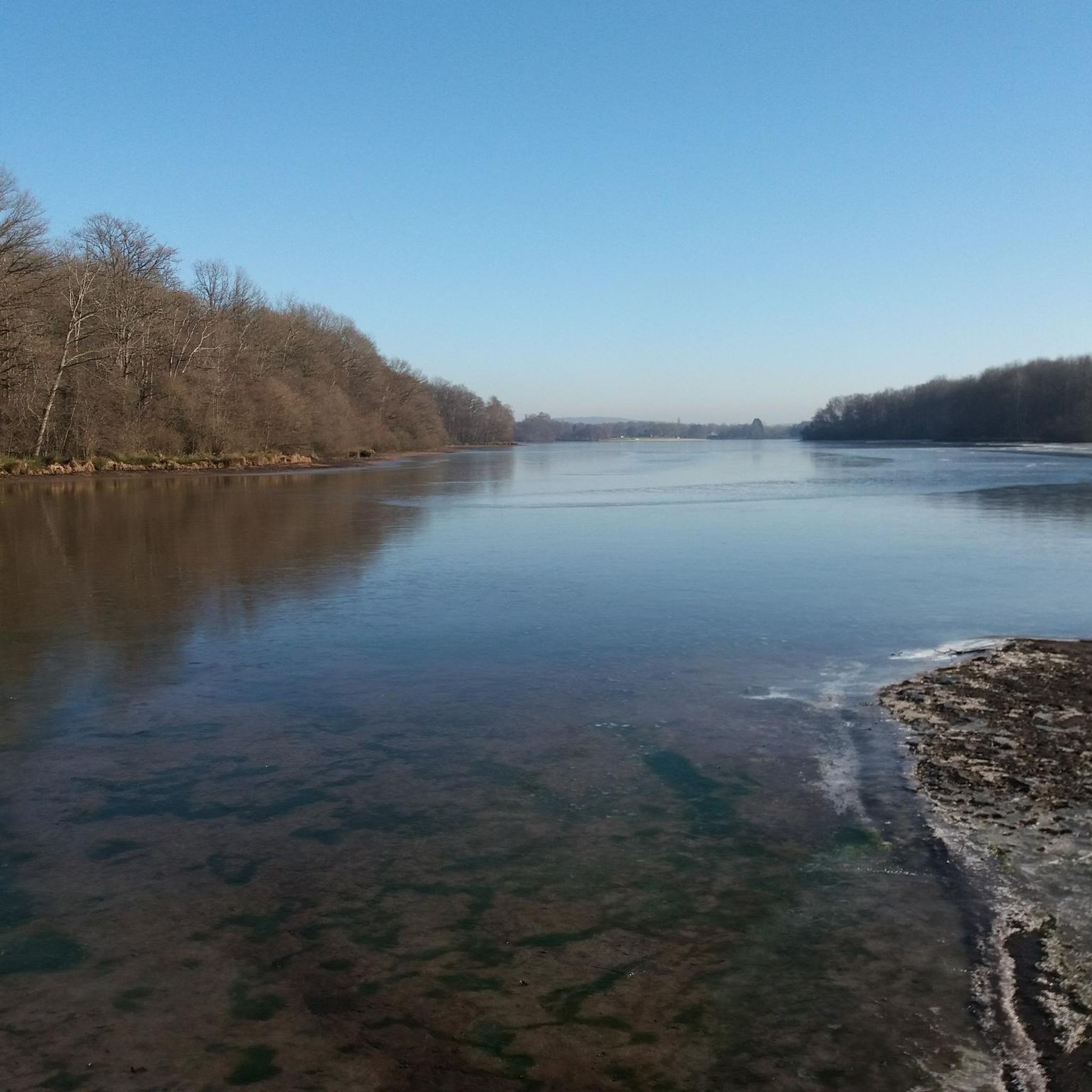
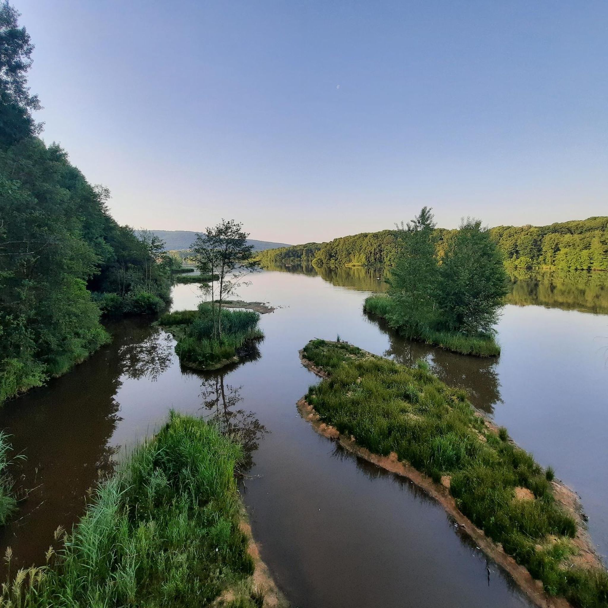
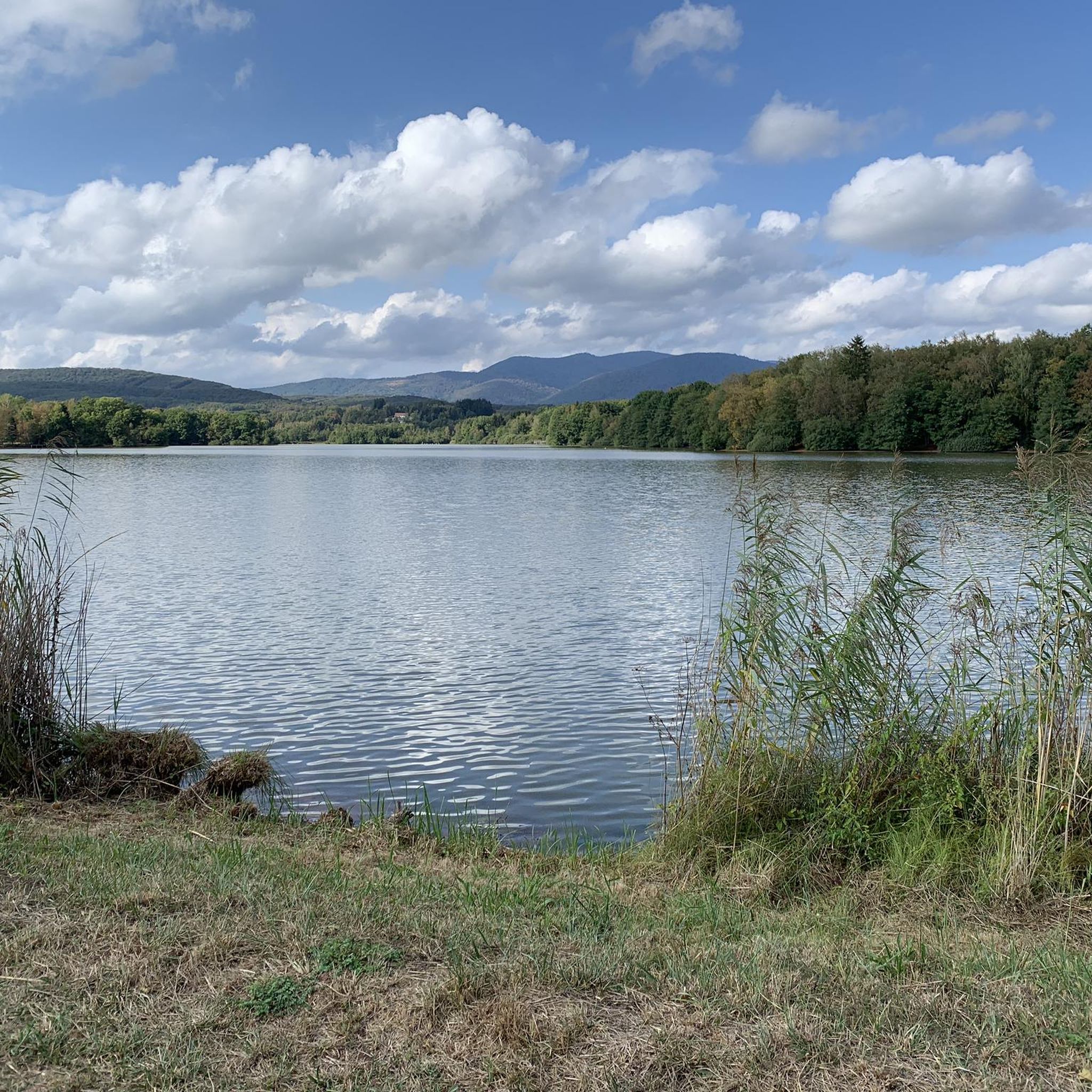
Hiking around Étang Du Malsaucy offers diverse landscapes centered around the expansive 55-hectare lake, surrounded by numerous smaller ponds, wetlands, and forests. The terrain features minimal elevation gain, making many routes accessible, with views often extending to the Vosges mountains in the background. This region is characterized by a mosaic of aquatic environments, woodlands, and reedbeds, providing varied natural features for exploration.
Best hiking trails around Étang Du Malsaucy
- The most popular hiking route is Lac du Malsaucy and étang…
Last updated: July 18, 2026
4.5
(47)
231
hikers
Moderate hike. Good fitness required. Easily-accessible paths. Suitable for all skill levels.
4.8
(24)
324
hikers
4.20km
01:04
10m
10m
Easy hike. Great for any fitness level. Easily-accessible paths. Suitable for all skill levels.

Sign up for free
5.0
(3)
26
hikers
11.7km
03:09
150m
150m
Moderate hike. Good fitness required. Easily-accessible paths. Suitable for all skill levels.
3.7
(3)
16
hikers
11.7km
03:12
190m
190m
Moderate hike. Good fitness required. Easily-accessible paths. Suitable for all skill levels.
5.0
(2)
12
hikers
22.7km
06:07
280m
280m
Hard hike. Very good fitness required. Sure-footedness, sturdy shoes and alpine experience required.
Get access to more routes and recommendations from other explorers.
Sign up for free
Already have an account?
Our route recommendations are based on thousands of hikes, rides, and runs completed by other people on komoot.
Start today with a free account
Your next adventure awaits.
Login or Signup


Other adventures around Étang Du Malsaucy

Tips from the Community

very beautiful route!!! drive slowly!! watch out for pedestrians
0
0
watch out for mosquitoes!!!
0
0

There are also signposted mountain bike trails here. Highly recommended.
1
0


This larger building is located in the immediate vicinity of Fort Dorsner. It is unlocked.
0
0
The opening times are published online and it's worth investing the €4 for entry. The complex is huge, although not all rooms are accessible. We visited without a guide, but were provided with detailed information material - in German! A very interesting complex that is maintained by a club. Respect!!!
0
0
Frequently Asked Questions
How many hiking trails are available around Étang Du Malsaucy?
There are over 260 hiking routes in the Étang Du Malsaucy area, offering a wide variety of options for different skill levels and preferences. This includes 100 easy trails, 141 moderate routes, and 23 more challenging hikes.
Are there easy hiking options suitable for families or beginners?
Yes, Étang Du Malsaucy is well-suited for families and beginners. Many trails feature minimal elevation gain and are well-maintained. For example, the Véronne Pond – Birdwatching Spot loop from Évette-Salbert is an easy 4.6 km path, perfect for a relaxed stroll. The loops around the Malsaucy and Véronne Ponds are generally flat and accessible, with some even suitable for people with reduced mobility.
What kind of terrain and natural features can I expect on the trails?
The terrain around Étang Du Malsaucy is diverse, characterized by the expansive 55-hectare lake, numerous smaller ponds, wetlands, and forests. You'll find paths winding through reedbeds, woodlands, and open areas, often with picturesque views of the Vosges mountains in the background. The area is also known for its rich biodiversity, particularly its birdlife.
Are there any circular walks available in the region?
Yes, circular walks are a prominent feature of hiking around Étang Du Malsaucy. Many routes are designed as loops around the main lake and smaller ponds. A popular option is the Lac du Malsaucy and étang de la Veronne loop, which is 10 km long and offers beautiful viewpoints over Lac du Malsaucy.
What are some notable landmarks or viewpoints along the hiking trails?
Beyond the scenic lake views, hikers can enjoy several points of interest. The area is an important ornithological site, with dedicated observatories for birdwatching, especially around Véronne Pond. You can also visit the Maison Départementale de l'Environnement (Ecomuseum) for insights into the local environment. The Vosges mountains often provide a stunning backdrop to the landscape.
Is Étang Du Malsaucy accessible by public transport?
Yes, during the summer months, public transport options like the Nautibus d'Optymo serve the Étang Du Malsaucy area. Additionally, the site is connected to Belfort by dedicated cycle paths, which also link to the EuroVelo 6 route, offering an alternative way to arrive.
Are dogs allowed on the hiking trails?
While specific rules for every trail can vary, generally, dogs are welcome on many hiking trails in the Étang Du Malsaucy area. It's always recommended to keep them on a leash, especially in areas with wildlife or near other visitors, and to clean up after them. Please check local signage for any specific restrictions.
What do other hikers enjoy most about hiking in Étang Du Malsaucy?
The area is highly rated by the komoot community, with an average score of 4.5 stars from over 600 reviews. Hikers often praise the diverse landscapes, the tranquility of the lake and forest paths, and the accessibility of many routes. The opportunities for birdwatching and the scenic views of the Vosges mountains are also frequently highlighted.
What is the best time of year to go hiking in Étang Du Malsaucy?
Étang Du Malsaucy offers enjoyable hiking experiences throughout the year. Spring and autumn provide pleasant temperatures and beautiful foliage, while summer is popular for combining hikes with activities at the supervised beach. The area's rich birdlife makes it a great destination for birdwatching in various seasons.
Are there parking facilities available for hikers?
Yes, there are parking facilities available around Étang Du Malsaucy, making it convenient for hikers arriving by car. The site is only six kilometers northwest of Belfort, and parking areas are generally well-indicated near trailheads and key attractions like the Nautical and Leisure Base.
How long are the typical hiking trails in this region?
Hiking trails around Étang Du Malsaucy vary in length to suit different preferences. You can find short, easy strolls of a few kilometers, such as the 4.6 km Véronne Pond – Birdwatching Spot loop. Longer, moderate hikes can extend up to 10-13 km, like the 13 km Malsaucy cycling link – Lac du Malsaucy loop, which typically takes around 3 hours and 29 minutes to complete.
Are there any challenging routes for experienced hikers?
While many routes are easy to moderate, there are options for more experienced hikers seeking a challenge. The region offers 23 difficult trails. For instance, the Véronne Pond – Birdwatching Spot loop from Bas-Evette is a demanding 21 km route with significant elevation changes, requiring good fitness levels.
Most popular routes around Étang Du Malsaucy

Get inspired with the komoot mobile app


Explore more
Browse the best Hikes in other regions.
