The best walks and hikes around Lac De Chaillexon
4.5
(906)
6,425
hikers
226
hikes
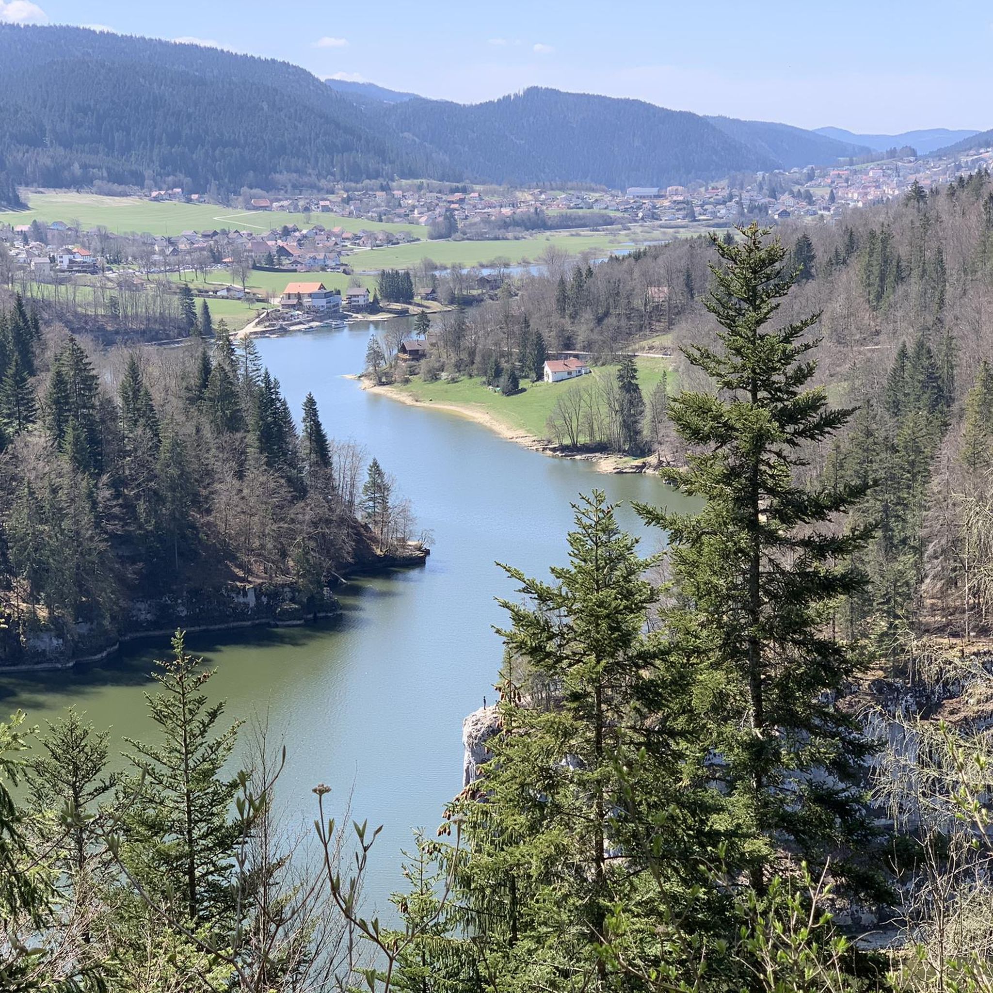
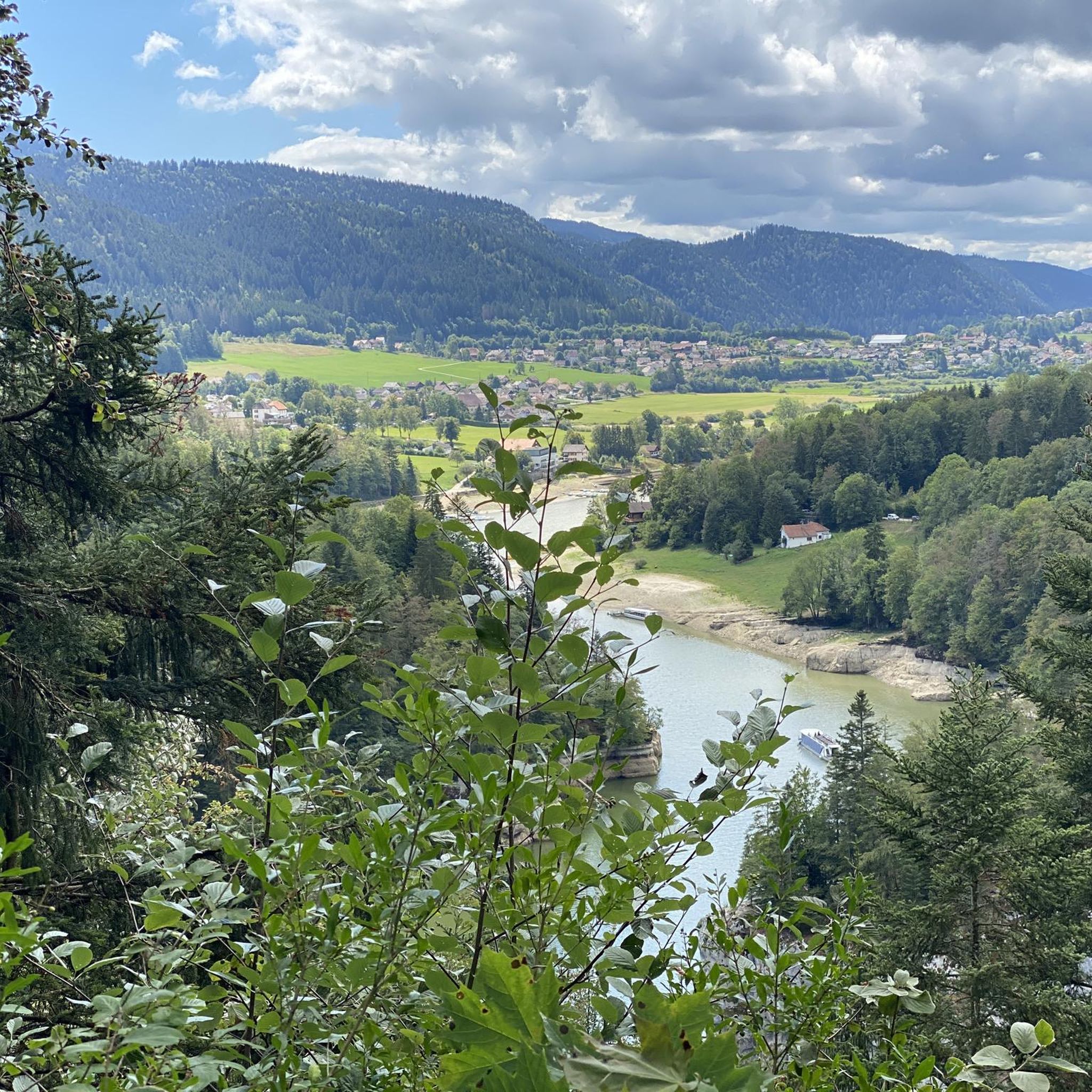
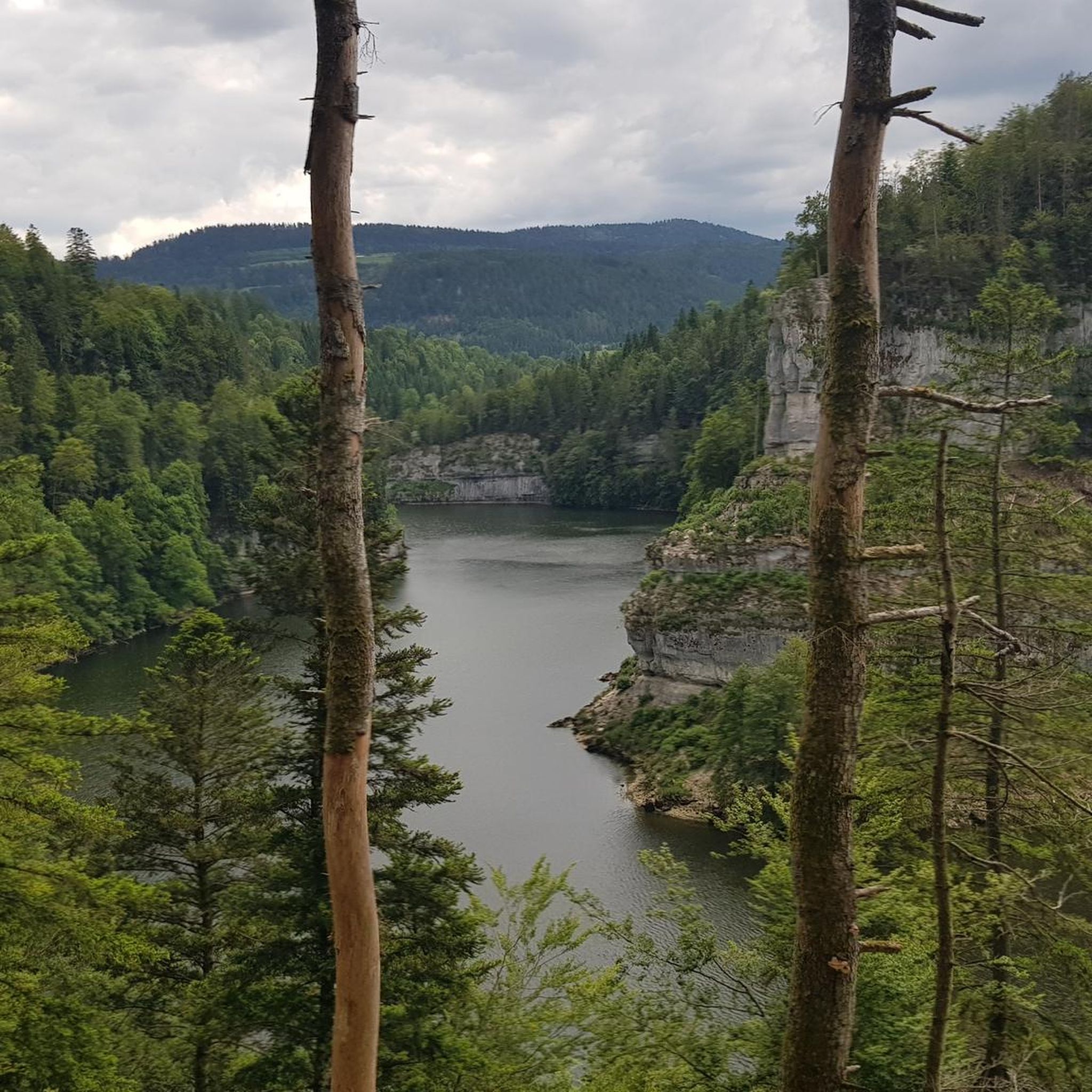
Hiking around Lac De Chaillexon offers trails through a landscape shaped by glacial activity, featuring a deep lake and the Doubs river. The region is characterized by steep cliffs, dense fir forests, and rocky terrain, particularly around the dramatic Saut du Doubs waterfall. Situated on the Franco-Swiss border, the area provides diverse hiking experiences with varied elevation changes.
Best hiking trails around Lac De Chaillexon
- The most popular hiking route is Saut du Doubs — loop from Les Brenets,…
Last updated: October 12, 2026
4.8
(112)
620
hikers
16.4km
04:56
490m
490m
Moderate hike. Good fitness required. Mostly accessible paths. Sure-footedness required.
4.4
(85)
437
hikers
10.4km
03:18
370m
370m
Hard hike. Good fitness required. Sure-footedness, sturdy shoes and alpine experience required.

4.6
(27)
174
hikers
Hard hike. Very good fitness required. Mostly accessible paths. Sure-footedness required.
4.3
(12)
103
hikers
4.69km
01:27
180m
160m
Easy hike. Great for any fitness level. Easily-accessible paths. Suitable for all skill levels.
4.7
(91)
613
hikers
11.6km
03:26
330m
330m
Moderate hike. Good fitness required. Easily-accessible paths. Suitable for all skill levels.
Get access to more routes and recommendations from other explorers.
Already have an account?
Our route recommendations are based on thousands of hikes, rides, and runs completed by other people on komoot.
Start today with a free account
Your next adventure awaits.


Other adventures around Lac De Chaillexon

Tips from the Community

With a bit of luck, you can observe chamois
0
0
With a bit of luck, you can observe chamois
0
0

For hotel guests, a boat trip to the waterfalls and back is free ... otherwise the one-way trip costs 9 sfr
0
0
Great path with beautiful views of the river
0
0
About 10 minutes walk from the pier
0
0

Rustic restaurant with terrace located directly on the Doubs.
7
0
High-altitude viewpoint with a viewing platform and wonderful views of the waterfall and the Swiss side.
6
0
Frequently Asked Questions
What kind of natural features can I expect to see while hiking around Lac De Chaillexon?
The region is defined by its unique glacial landscape, featuring the deep Lac de Chaillexon itself, often described as a Canadian-style canyon. A major highlight is the majestic Saut du Doubs waterfall, a 27-meter cascade. You'll also encounter the winding Doubs river, steep cliffs, and dense fir forests, offering a preserved natural environment.
Are there any easy hiking options suitable for families or beginners?
Yes, there are several easier trails. For instance, the Saut-du-Doubs route is an easy option, covering about 4.7 km. While some paths near the waterfall are suitable for strollers, other sections can be narrow dirt trails, so check specific route details for suitability.
Can I bring my dog on the hiking trails around Lac De Chaillexon?
Many trails in the Lac De Chaillexon area are dog-friendly, allowing you to explore the natural beauty with your canine companion. However, it's always recommended to keep dogs on a leash, especially in protected areas or near wildlife, and to check specific trail regulations before you go.
What is the best time of year to go hiking in this region?
The Lac de Chaillexon area is beautiful throughout the year. Spring and summer offer lush greenery and pleasant temperatures for hiking. Autumn is particularly captivating with vibrant fall foliage. While winter hiking is possible, be prepared for snow and ice, especially on higher or less maintained paths.
Are there any circular hiking routes available?
Yes, the region offers several excellent circular routes. A popular choice is the Saut du Doubs — loop from Les Brenets, a moderate 16.4 km trail that takes nearly 5 hours. Another option is the Châtelot Dam – Stepping Stones on the Doubs River loop from Les Brenets, which is 11.3 km long and also moderate.
How many hiking trails are available around Lac De Chaillexon?
There are over 220 hiking routes recorded around Lac De Chaillexon on komoot, catering to various skill levels. This includes approximately 80 easy trails, 120 moderate routes, and 20 more challenging options.
What do other hikers enjoy most about the trails in Lac De Chaillexon?
The area is highly rated by the komoot community, with an average score of 4.5 stars from over 700 reviews. Hikers frequently praise the stunning views of the glacial lake and the Doubs river, the dramatic Saut du Doubs waterfall, and the well-preserved natural environment with its fir forests and rocky terrain.
Are there any challenging hikes for experienced trekkers?
For more experienced hikers, there are challenging routes that offer significant elevation changes and longer distances. An example is the Le Saut du Doubs — loop in the Parc Naturel Régional du Doubs Horloger, a difficult 10.4 km path with substantial ascents. Another difficult option is the Lac de Moron and côtes de Moron via le saut du Doubs — loop from Les Brenets, which is 17.1 km long.
Is it possible to hike across the Franco-Swiss border in this area?
Yes, the Lac de Chaillexon (also known as Lac des Brenets on the Swiss side) straddles the border between France and Switzerland. Many trails offer a unique cross-cultural hiking experience, with a bridge connecting the two sides a few hundred meters from the Saut du Doubs waterfall, allowing you to traverse between countries.
How long do hikes typically take around Lac De Chaillexon?
Hike durations vary significantly depending on the route's length and difficulty. Shorter, easier paths to the Saut du Doubs can take under two hours, while moderate loops like the Saut du Doubs — loop from Les Brenets typically require around 5 hours. Longer, more difficult trails can extend to 5.5 hours or more.
Are there any specific viewpoints or panoramic spots along the trails?
The region is known for its exceptional panoramic viewpoints, particularly those overlooking the winding Doubs river and the fjord-like appearance of Lac de Chaillexon. Many trails leading to the Saut du Doubs waterfall offer stunning vistas of the cascade and the surrounding cliffs and forests.
Most popular routes around Lac De Chaillexon
Most popular attractions around Lac De Chaillexon

Get inspired with the komoot mobile app


Explore more
Browse the best Hikes in other regions.
