The best walks and hikes around Etang Du Puits
4.1
(42)
172
hikers
9
hikes
Hiking around Etang Du Puits offers a network of trails primarily circling the lake, providing accessible routes for various abilities. The terrain is generally flat, characterized by lakeside paths and surrounding woodlands. This region is known for its calm waters and the gentle landscapes that define the area, making it suitable for leisurely walks. The trails often follow the shoreline, offering consistent views of the water body.
Best hiking trails around Etang Du Puits
- The most popular hiking route is…
Last updated: July 7, 2026
5.0
(5)
15
hikers
16.6km
04:14
50m
50m
Moderate hike. Good fitness required. Easily-accessible paths. Suitable for all skill levels.
4.3
(11)
58
hikers
7.33km
01:52
20m
20m
Easy hike. Great for any fitness level. Easily-accessible paths. Suitable for all skill levels.

Sign up for free
7
hikers
12.1km
03:05
30m
30m
Moderate hike. Good fitness required. Easily-accessible paths. Suitable for all skill levels.
6
hikers
12.7km
03:13
30m
30m
Moderate hike. Good fitness required. Easily-accessible paths. Suitable for all skill levels.
3.0
(2)
5
hikers
5.14km
01:19
20m
20m
Easy hike. Great for any fitness level. Easily-accessible paths. Suitable for all skill levels.
Get access to more routes and recommendations from other explorers.
Sign up for free
Already have an account?
Our route recommendations are based on thousands of hikes, rides, and runs completed by other people on komoot.
Start today with a free account
Your next adventure awaits.
Login or Signup

Tips from the Community

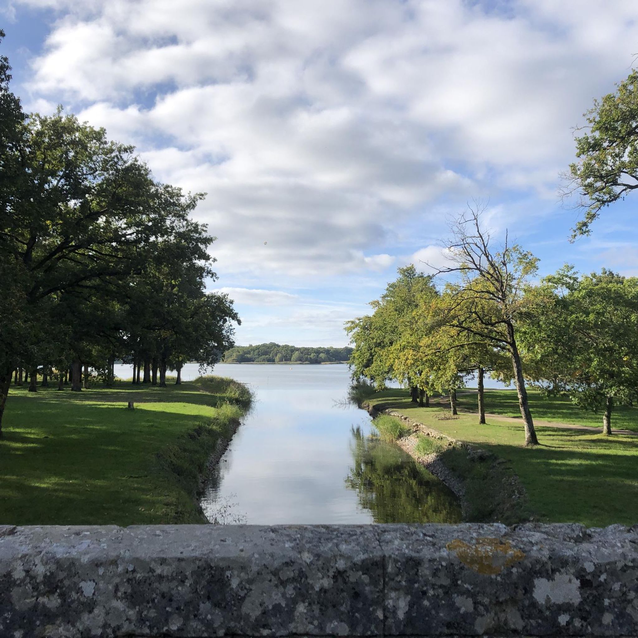
The old Canal de la Sauldre, once built to transport wood, lime, and peat, meanders through the forests of the Sologne. Today, the water is calm and wooded, but the old locks, bridges, and towpaths still reveal exactly how it once worked. It's an ideal walking route.
4
0
This lock was once part of the Canal de la Sauldre. Water from the Étang du Puits was regulated here to allow ships to pass and maintain the canal's water level. Now it's simply a beautiful spot to pause for a moment...
4
0
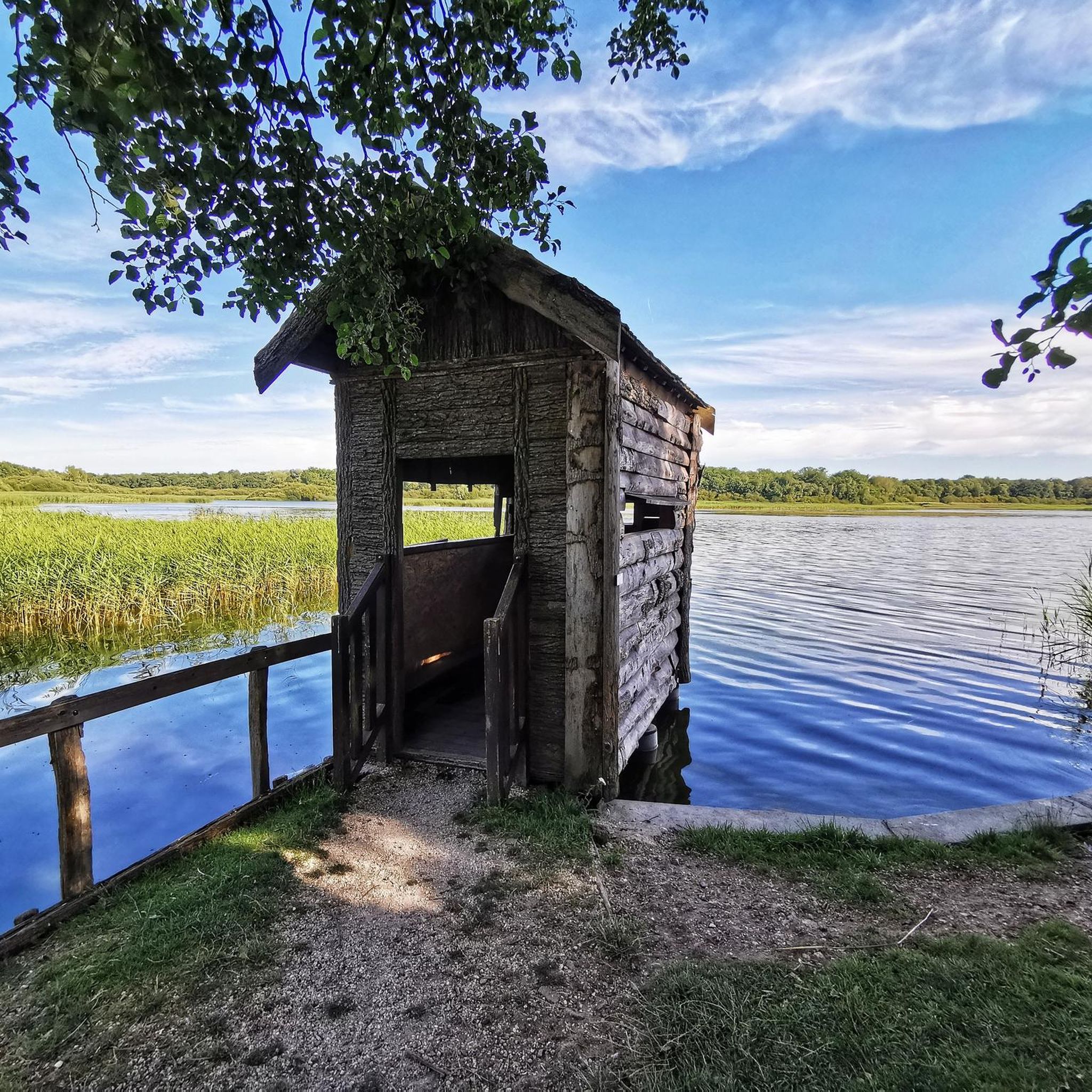
The lake covers 180 hectares, making it the largest in the Sologne. Originally created in 1864 to supply the Sauldre canal with water. Now partly developed as a recreational area: beach area, hiking trails, water sports (sailing, ski-nautique, pedalo), and an ornithological reserve. For nature lovers: you'll find a rich bird life (cendré heron, grèbe huppé, etc.) and diverse flora along the banks. For families: picnic areas, a beach area in the summer, and playgrounds.
4
0

Canal which connects Blancafort (Cher) and Lamotte-Beuvron (Loir-et-Cher) and is 46,810 km long. It is the only canal in France not attached to any waterway, designed to improve agriculture in Sologne with drainage, irrigation and earth transport functions. Its construction began urgently in June 1848, after a vote by the National Assembly which wanted to occupy the Parisian workers left behind by the closure of the National Workshops.
1
0
The largest pond in Sologne which combines rich natural environments, with fauna and flora that can be admired for hours, and facilities conducive to relaxation and swimming, with its beaches and activities on offer.
1
0
One of the 22 locks of the Canal de la Sauldre. The Etang du Puits, with an area of 180 hectares, served as a buffer reservoir for the canal in order to supplement it with water when the Sauldre was not enough to supply it.
1
0
Frequently Asked Questions
Are there easy hiking trails suitable for beginners or families around Etang Du Puits?
Yes, Etang Du Puits offers several easy trails. For a relaxed outing, consider the Puits Lock – Étang du Puits loop from Étang du Puits. This 4.5-mile (7.3 km) path features gentle gradients along the lakeside and near the lock, making it ideal for those seeking a less strenuous walk.
What are some moderate hiking options and their typical lengths around Etang Du Puits?
For moderate hikes, the region offers several choices. The most popular is the Étang du Puits Loop, which is 10.3 miles (16.6 km) and typically takes around 4 hours 14 minutes to complete. Another moderate option is the Puits Lock – Étang du Puits loop from Étang du Puits, a 7.5-mile (12.1 km) trail that leads through lakeside and forested areas, often completed in about 3 hours 5 minutes.
Where can I find parking for hiking trails around Etang Du Puits?
Parking is generally available at various points around the lake, especially near popular access points and recreational areas. Many trailheads, particularly those for the main loops, have designated parking facilities. It's advisable to check the starting point of your chosen route on komoot for specific parking recommendations.
Is Etang Du Puits accessible by public transport for hikers?
While the Etang Du Puits area is primarily accessed by car, some regional bus services might operate to nearby towns. However, direct public transport links to specific trailheads around the lake can be limited. Planning your journey in advance and checking local transport schedules is recommended if you rely on public transport.
Can I bring my dog on the hiking trails around Etang Du Puits?
Yes, dogs are generally welcome on the hiking trails around Etang Du Puits. It's always best to keep them on a leash, especially in areas with wildlife or other hikers, and to follow local regulations regarding pet waste. The natural, open environment of the lake and surrounding woodlands makes it a pleasant area for walks with your canine companion.
When is the best time of year to hike around Etang Du Puits?
The best time to hike around Etang Du Puits is typically from spring to autumn (April to October). During these months, the weather is generally mild and pleasant, and the natural scenery is at its most vibrant. Summer offers warm days perfect for lakeside activities, while spring and autumn provide cooler temperatures and beautiful foliage.
Are there places to eat or have a pub lunch along the trails near Etang Du Puits?
Yes, there are usually options for refreshments and meals around Etang Du Puits, especially near the main recreational areas and villages bordering the lake. You can often find lakeside restaurants, cafes, or small eateries that offer local cuisine and a place to rest after your hike.
Are there good viewpoints along the hiking trails around Etang Du Puits?
The trails around Etang Du Puits primarily offer continuous views of the lake itself, as many routes follow the shoreline. The generally flat terrain means panoramic vistas are less common, but you'll enjoy serene water views and the tranquil atmosphere of the surrounding woodlands throughout your hike.
What do other hikers enjoy the most about hiking in Etang Du Puits?
The area is highly rated by the komoot community, with an average score of 4.2 stars from over 20 reviews. Reviewers often praise the calm waters, the gentle landscapes, and the accessibility of the trails. Many appreciate the consistent views of the lake and the peaceful, flat terrain that makes it suitable for leisurely walks.
How many hiking trails are available around Etang Du Puits on komoot?
There are over 7 hiking routes available around Etang Du Puits on komoot. These range from easy strolls to moderate loops, offering a variety of options for exploring the lake and its surrounding natural environment.
Are there any circular walks available around Etang Du Puits?
Yes, circular walks are a defining feature of hiking around Etang Du Puits. The most prominent is the Étang du Puits Loop, which completely circles the lake. Other routes, like the Old Sauldre Canal loop from Ecluse de Lauroy, also offer circular paths exploring the wider area.
What kind of terrain can I expect on the hiking trails in Etang Du Puits?
The terrain around Etang Du Puits is generally flat, characterized by well-maintained lakeside paths and trails through surrounding woodlands. You can expect mostly even surfaces, making it suitable for a wide range of abilities and comfortable for longer walks without significant elevation changes.
Most popular routes around Etang Du Puits

Get inspired with the komoot mobile app


Explore more
Browse the best Hikes in other regions.
