The best walks and hikes around Etang Le Sault
4.0
(148)
820
hikers
48
hikes
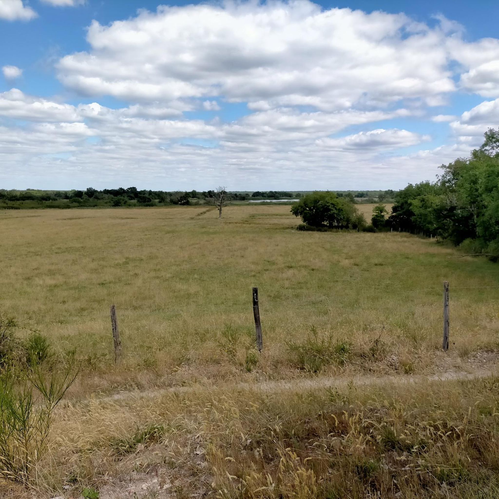
Hiking around Etang Le Sault offers a tranquil setting characterized by serene lakeside paths and access to broader natural areas. The region features diverse terrain, including plains, wooded areas, and the significant Brenne Lands and Ponds Nature Reserve. Situated at an altitude of around 700 meters, the area provides a temperate climate. The landscape provides varied trails suitable for different preferences, with many paths offering views of the water and surrounding natural environment.
Best hiking trails around Etang Le Sault
…Last updated: July 5, 2026
3.1
(8)
22
hikers
14.2km
03:38
50m
50m
Hike the moderate 8.8-mile Le Blizon loop through the Brenne Lands and Ponds Nature Reserve, a haven for birdwatching in the 'country of 100
4.5
(21)
140
hikers
Moderate hike. Good fitness required. Easily-accessible paths. Suitable for all skill levels.

Sign up for free
4.3
(10)
37
hikers
6.67km
01:41
10m
10m
Easy hike. Great for any fitness level. Easily-accessible paths. Suitable for all skill levels.
4.4
(7)
27
hikers
Easy hike. Great for any fitness level. Easily-accessible paths. Suitable for all skill levels.
2.8
(4)
9
hikers
Moderate hike. Good fitness required. Easily-accessible paths. Suitable for all skill levels.
Get access to more routes and recommendations from other explorers.
Sign up for free
Already have an account?
Our route recommendations are based on thousands of hikes, rides, and runs completed by other people on komoot.
Start today with a free account
Your next adventure awaits.
Login or Signup
Tips from the Community

Access prohibited at a given time... obligation to turn around.... UNACCEPTABLE 😡😡
2
0

Hello, part of this trail passes inside a nature reserve, access to which is prohibited to the public. Do not follow this entire route, otherwise you will be fined by the guards. Please respect the site regulations.
2
0

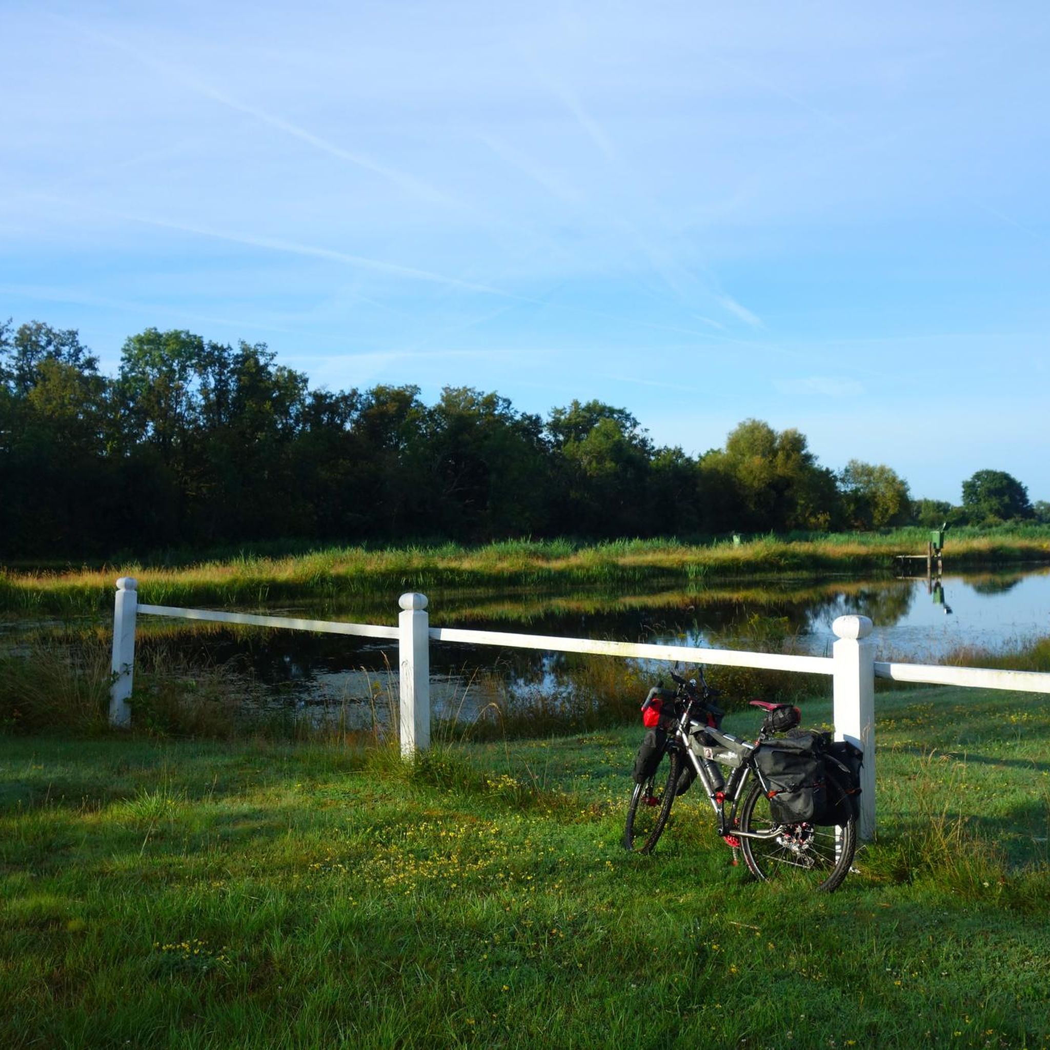
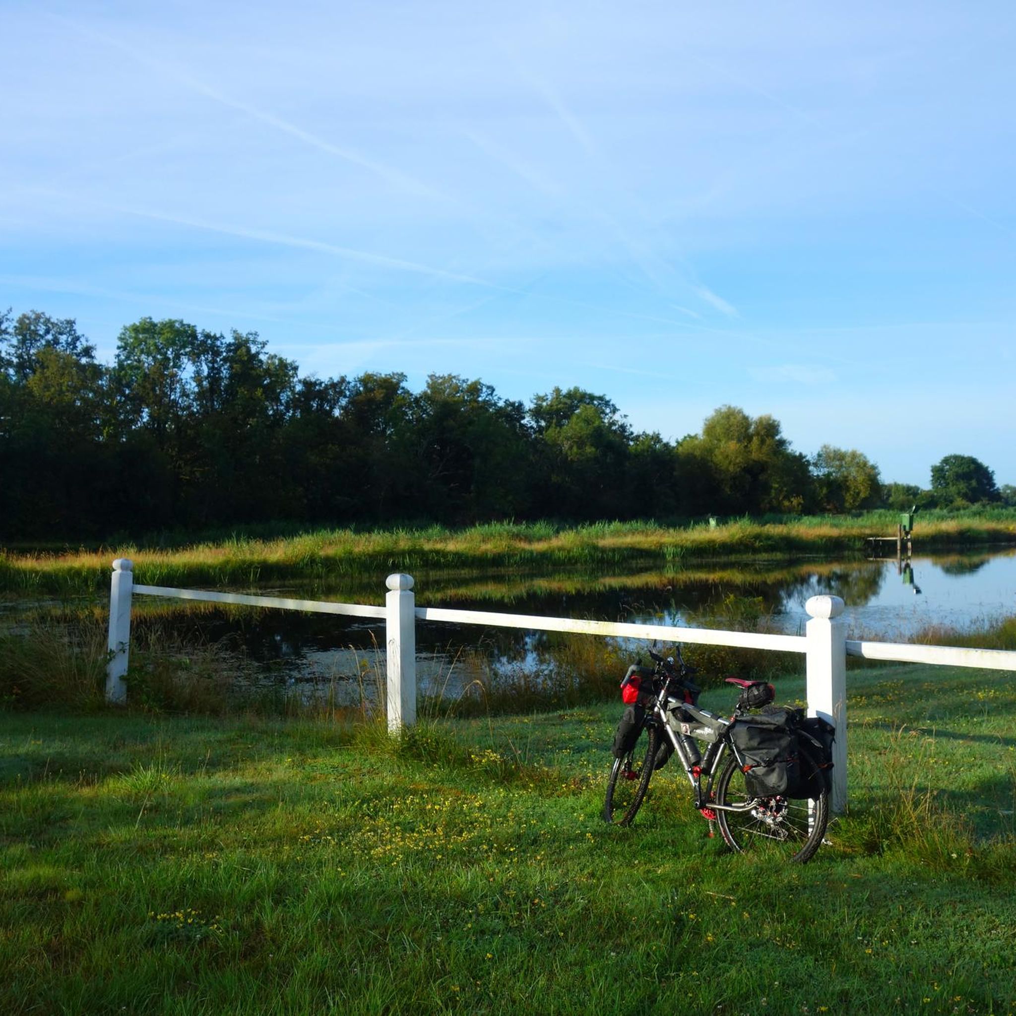
A unique experience of running on this pond in the heart of the Regional Natural Park of Brenne - the country of 1000 ponds.
2
0
A unique experience to walk on this pond in the heart of the Regional Natural Park of Brenne - the country of 1000 ponds.
3
0
Hard to miss, this ancient 11th century fortress stands proudly on a hill of red sandstone and dominates the area around it. Open to visits from April to November, this castle has been completely renovated to make you feel what it was like during its history, especially during the Hundred Years War.
3
0
Frequently Asked Questions
How many hiking trails are available around Étang de Sault?
There are over 50 hiking routes around Étang de Sault, offering a variety of experiences. This includes 22 easy trails, 28 moderate routes, and a few more challenging options for experienced hikers.
What kind of terrain can I expect on hikes near Étang de Sault?
The terrain around Étang de Sault is quite diverse. You'll find serene lakeside paths, trails winding through wooded areas, and routes that cross open plains. Many paths offer scenic views of the water and the surrounding natural environment, particularly within the Brenne Lands and Ponds Nature Reserve.
Are there easy or family-friendly hiking options around Étang de Sault?
Yes, Étang de Sault offers many easy and family-friendly options. The paths around the pond itself are generally safe and engaging for children, typically 4-5 km long. An example of an easy route is the Hiking loop from Rosnay, which is 3.2 miles (5.1 km) and takes about 1 hour 17 minutes.
Are there any circular hiking routes around Étang de Sault?
Many of the trails around Étang de Sault are designed as circular routes, allowing you to start and end at the same point. For instance, the Footbridge over water loop from Réserve naturelle des Terres et Étangs de Brenne, Massé, Foucault is an easy 4.4 km circular path.
What are some longer, more challenging hikes in the area?
For those seeking longer, moderate hikes, the Encounter with the Brenne Landscapes Trail is an excellent choice. This 8.8-mile (14.2 km) route explores the varied terrain of the Brenne region and typically takes around 3 hours 37 minutes. Another moderate option is the Footbridge over water – Les Robinieries Lake loop from Réserve naturelle des Terres et Étangs de Brenne, Massé, Foucault, which is 7.2 miles (11.7 km).
Can I bring my dog on the trails around Étang de Sault?
While specific regulations for dogs on every trail are not detailed, generally, trails in natural areas like Étang de Sault are dog-friendly, especially if kept on a leash. It's always advisable to check local signage for any specific restrictions within the Brenne Lands and Ponds Nature Reserve.
What do other hikers say about the trails in Étang de Sault?
The hiking routes in Étang de Sault are highly rated by the komoot community, with an average score of 4.0 stars from over 140 reviews. Hikers often praise the tranquil setting, the scenic lakeside views, and the diverse natural landscapes, especially within the Brenne region.
Are there specific natural features or landmarks to look out for?
Absolutely. The primary natural feature is Étang de Sault itself, offering beautiful lakeside views, particularly when the pond is full. The wider area is part of the Brenne Lands and Ponds Nature Reserve, known for its extensive network of ponds and rich birdwatching opportunities. Some routes, like the Étang de Rianvert – Étang Capitaine loop, take you past multiple significant ponds.
Is there parking available for hikers near Étang de Sault?
Yes, parking is generally available near the main access points to Étang de Sault and the surrounding trailheads. Given the area's focus on outdoor activities, you can typically find convenient spots to park your vehicle before starting your hike.
What is the best time of year to go hiking in Étang de Sault?
Étang de Sault offers pleasant hiking conditions throughout much of the year. The scenic appeal of the pond is best when it is full, which typically occurs after periods of rain. Spring and autumn provide comfortable temperatures and beautiful natural colors, while summer offers sunny paths, ideal for a peaceful escape.
Are there options for picnicking or camping near the trails?
Yes, the natural setting of Étang de Sault is well-suited for picnics, and visitors are encouraged to bring their own food as there are no direct restaurants or cafes. For those wishing to extend their visit, convenient camping options are available adjacent to the pond.
How long do hikes typically take around Étang de Sault?
Hike durations vary significantly depending on the route and your pace. Easy strolls around the pond can take less than an hour, while moderate routes like the Encounter with the Brenne Landscapes Trail can take over 3.5 hours. There are options for quick walks and longer excursions.
Are there any less crowded trails for a peaceful experience?
The area around Étang de Sault is generally known for its tranquil ambiance and minimal crowds, especially on the paths around the pond. Exploring the wider network of trails within the Brenne Lands and Ponds Nature Reserve often provides opportunities for peaceful excursions away from more frequented spots.
Most popular routes around Etang Le Sault

Get inspired with the komoot mobile app


Explore more
Browse the best Hikes in other regions.
