The best walks and hikes around Plan D'Eau De Toutainville
4.2
(252)
1,210
hikers
11
hikes
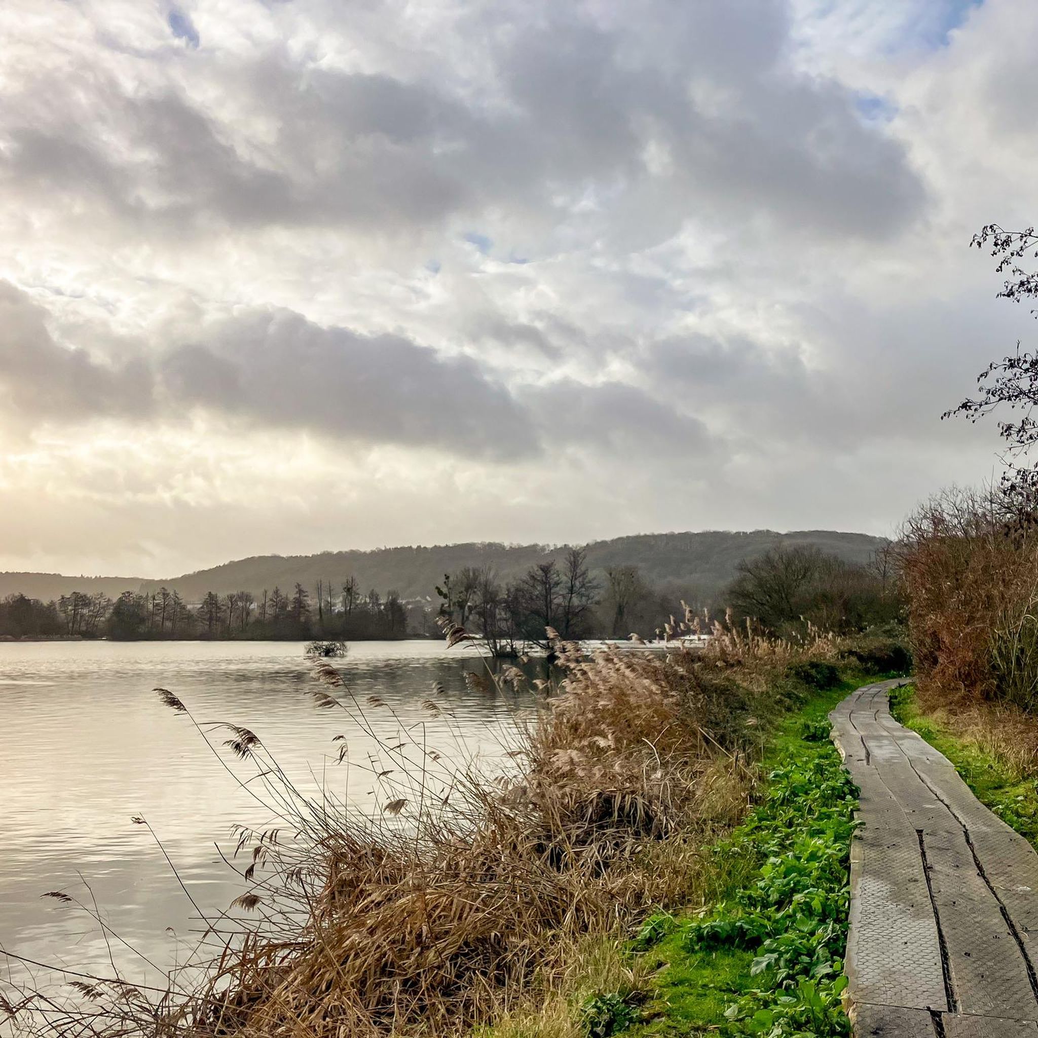
Hiking around Plan D'Eau De Toutainville features a network of trails primarily circling the local ponds and lakes, offering accessible outdoor experiences. The terrain is generally flat with minimal elevation gain, making it suitable for various activity levels. Many routes are circular walks, providing convenient loop trails for exploration.
Best hiking trails around Plan D'Eau De Toutainville
- The most popular hiking route is Pont-Audemer Ponds – Lake View Picnic Area loop from Toutainville, a 2.8 miles (4.6 km) trail…
Last updated: July 15, 2026
3.5
(6)
31
hikers
11.8km
03:09
120m
120m
Moderate hike. Good fitness required. Easily-accessible paths. Suitable for all skill levels.
4.2
(6)
25
hikers
2.83km
00:43
0m
0m
Easy hike. Great for any fitness level. Easily-accessible paths. Suitable for all skill levels.

Sign up for free
4.4
(5)
14
hikers
10.2km
02:45
120m
120m
Moderate hike. Good fitness required. Easily-accessible paths. Suitable for all skill levels.
4.0
(4)
15
hikers
8.39km
02:07
20m
20m
Moderate hike. Good fitness required. Easily-accessible paths. Suitable for all skill levels.
3.0
(1)
7
hikers
11.7km
03:09
140m
140m
Moderate hike. Good fitness required. Easily-accessible paths. Suitable for all skill levels.
Get access to more routes and recommendations from other explorers.
Sign up for free
Already have an account?
Our route recommendations are based on thousands of hikes, rides, and runs completed by other people on komoot.
Start today with a free account
Your next adventure awaits.
Login or Signup

Tips from the Community

Amazing city crisscrossed by multiple canals or streams of the Risle.
0
0

they are all different and pretty
0
0
a very nice walk around
1
0
For hikers, after the city stadium and the village hall, there is the possibility of buying pizza and regional products.
0
0

The Saint-Ouen church in Pont-Audemer, imposing although unfinished, is one of the foremost monuments of flamboyant Norman architecture.
0
0

Small, privately owned watermill with a metal water wheel. Can only be viewed from the outside
0
0

Small church in the town of Port Audemer
0
0

There is a very nice little street between rue de la République and rue Sadi Carnot, it is rue Paul Clémencin. To have
1
0
Frequently Asked Questions
What is the typical terrain like for hiking around Plan D'Eau De Toutainville?
The terrain is generally flat with minimal elevation gain, primarily circling the local ponds and lakes. This makes it suitable for various activity levels, including leisurely walks.
Are there many easy hiking options available?
Yes, the area is well-suited for easy hikes. Out of the 11 routes available, 7 are classified as easy. An example is the Pont-Audemer Ponds – Observatory loop from Toutainville, which is 2.8 km long and takes about 45 minutes.
Are the hiking trails around Plan D'Eau De Toutainville suitable for families with children?
Absolutely. Many routes are designed to be family-friendly, offering gentle paths and minimal elevation. The tranquil environment around the ponds is ideal for walks with children.
Can I bring my dog on the hiking trails?
Yes, the trails around Plan D'Eau De Toutainville are generally dog-friendly. However, always ensure your dog is kept on a leash, especially near wildlife or other hikers, and remember to clean up after them.
What is the best season to go hiking in this region?
The area is pleasant for hiking throughout the year. Spring and autumn offer mild temperatures and beautiful scenery, while summer is great for enjoying the lakeside views. Even in winter, the flat paths can be accessible, though conditions may vary.
Are there any circular walks or loop trails available?
Yes, a significant feature of hiking around Plan D'Eau De Toutainville is the abundance of circular walks. Many routes are loop trails, providing convenient options for exploration without retracing your steps. For instance, consider the moderate Lake View Picnic Area – Pont-Audemer loop from Toutainville.
What kind of views or natural features can I expect to see?
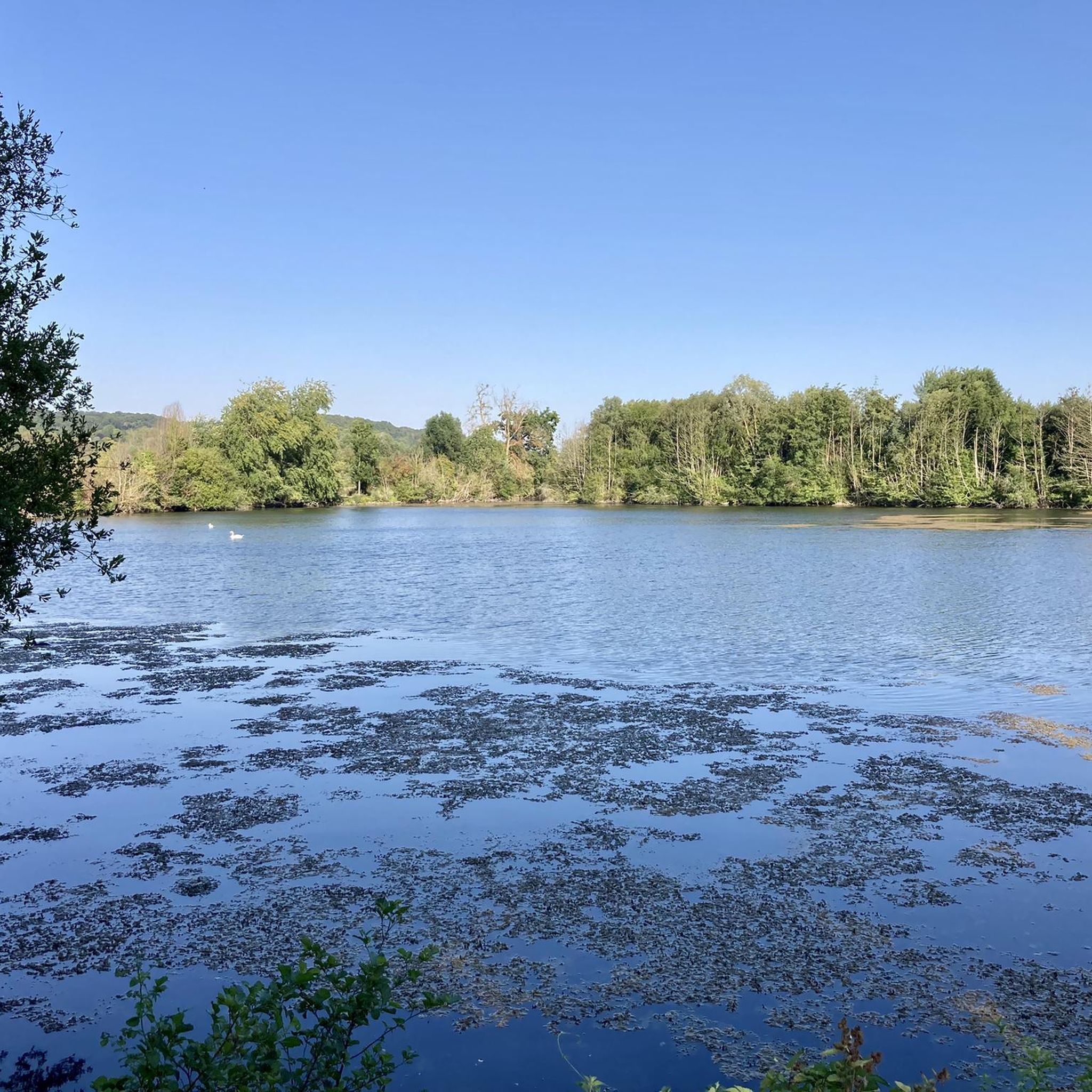
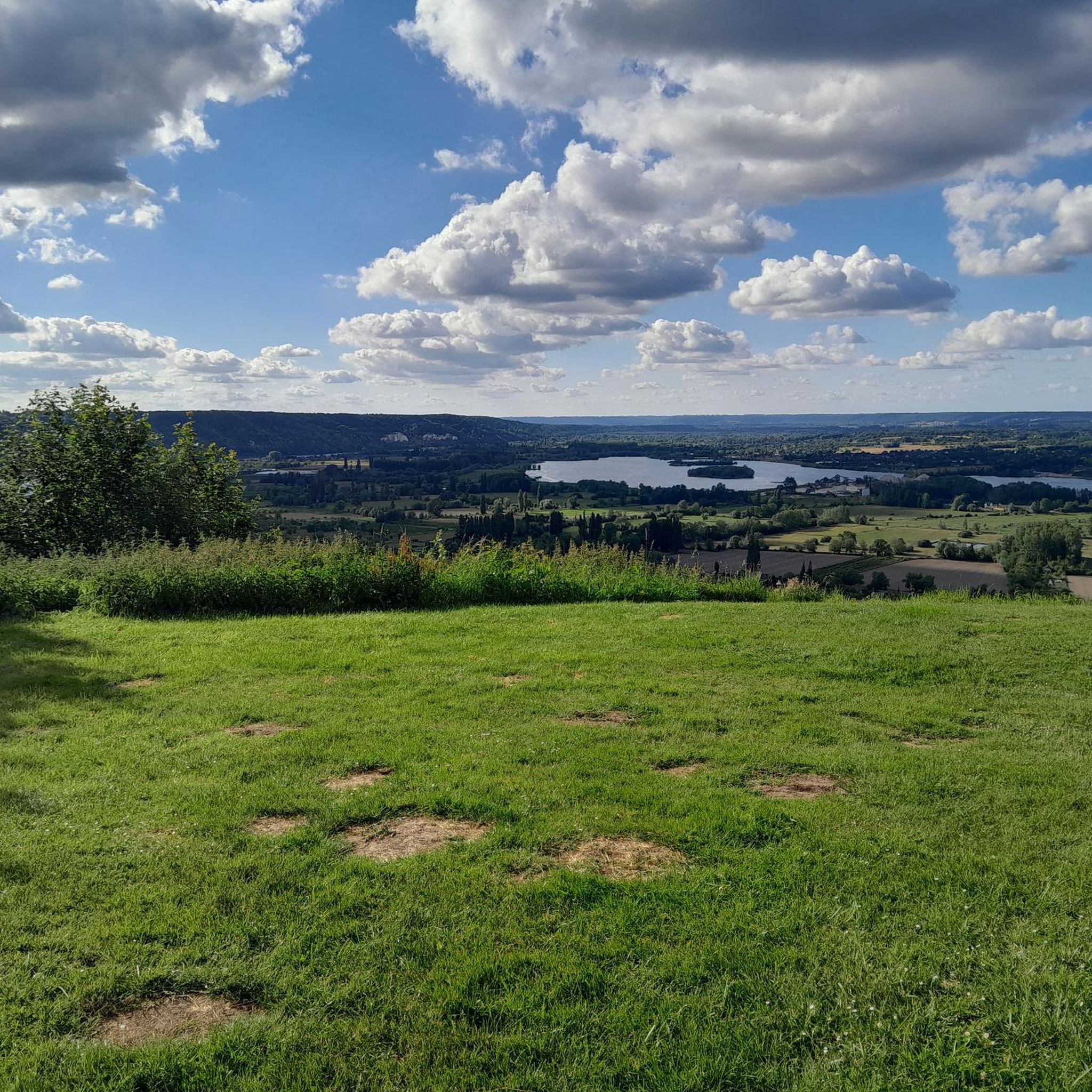
Hikers can expect tranquil pond and lake views, open landscapes, and gentle paths. The area is characterized by its water features, offering a peaceful natural setting.
How long do hikes typically take in this area?
Hike durations vary, but many routes are relatively short and accessible. You can find trails ranging from under an hour, like the Pont-Audemer Ponds – Observatory loop from Toutainville (45 minutes), to longer moderate options such as the Watermill – Pont-Audemer Ponds loop from Toutainville, which takes around 3 hours.
What do other hikers enjoy most about hiking in Plan D'Eau De Toutainville?
The area is highly rated by the komoot community, with an average score of 4.2 stars from over 200 reviews. Reviewers often praise the tranquil ponds, the ease of the paths, and the overall peaceful atmosphere for a relaxing outdoor experience.
Are there any less crowded hiking options for a more peaceful experience?
While the main routes are popular, the network of trails offers various options. To find less crowded paths, consider exploring some of the moderate routes slightly further from the main picnic areas, such as the Observatory – Lake View Picnic Area loop from Toutainville.
Are there any cafes or places to eat near the hiking trails?
While the immediate area around the Plan D'Eau De Toutainville is primarily natural, the nearby town of Pont-Audemer offers various cafes, restaurants, and shops where you can refuel after your hike.
Is there parking available for hikers?
Yes, there are designated parking areas conveniently located near the main access points to the trails around Plan D'Eau De Toutainville, making it easy to start your hike.
Most popular routes around Plan D'Eau De Toutainville

Get inspired with the komoot mobile app


Explore more
Browse the best Hikes in other regions.
