The best walks and hikes around El Paramo
4.5
(139)
1,326
hikers
14
hikes
Hiking around El Paramo features trails primarily situated within the region of León, characterized by river valleys and agricultural landscapes. The terrain is generally flat to gently undulating, with routes often following historical paths such as the Camino Francés and Vía de la Plata. This area includes features like the Ribera del río Órbigo and Laguna de Fuente Blanca, offering accessible walking experiences with minimal elevation changes.
Best hiking trails around El Paramo
- The most popular hiking route is Chozas…
Last updated: August 31, 2026
1
hikers
Moderate hike. Good fitness required. Easily-accessible paths. Suitable for all skill levels.
4.5
(8)
54
hikers
Hard hike. Very good fitness required. Easily-accessible paths. Suitable for all skill levels.

Sign up for free
5.0
(1)
14
hikers
Hard hike. Very good fitness required. Easily-accessible paths. Suitable for all skill levels.
14
hikers
Hard hike. Very good fitness required. Easily-accessible paths. Suitable for all skill levels.
5.0
(1)
14
hikers
Hard hike. Very good fitness required. Easily-accessible paths. Suitable for all skill levels.
4.5
(2)
12
hikers
25.0km
06:26
100m
100m
Hard hike. Very good fitness required. Easily-accessible paths. Suitable for all skill levels.
4.0
(4)
8
hikers
7.57km
01:55
20m
20m
Easy hike. Great for any fitness level. Easily-accessible paths. Suitable for all skill levels.
7
hikers
10.4km
02:40
50m
50m
Moderate hike. Good fitness required. Easily-accessible paths. Suitable for all skill levels.
5.0
(1)
6
hikers
Moderate hike. Good fitness required. Easily-accessible paths. Suitable for all skill levels.
Get access to more routes and recommendations from other explorers.
Sign up for free
Already have an account?
Our route recommendations are based on thousands of hikes, rides, and runs completed by other people on komoot.
Start today with a free account
Your next adventure awaits.
Login or Signup
Popular around El Paramo

Hiking around Pozuelo Del Páramo
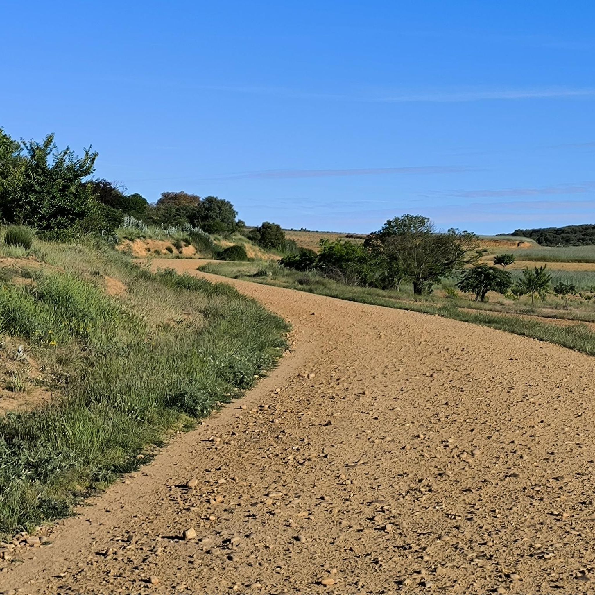
Hiking around Villazala
Hiking around Zotes Del Páramo
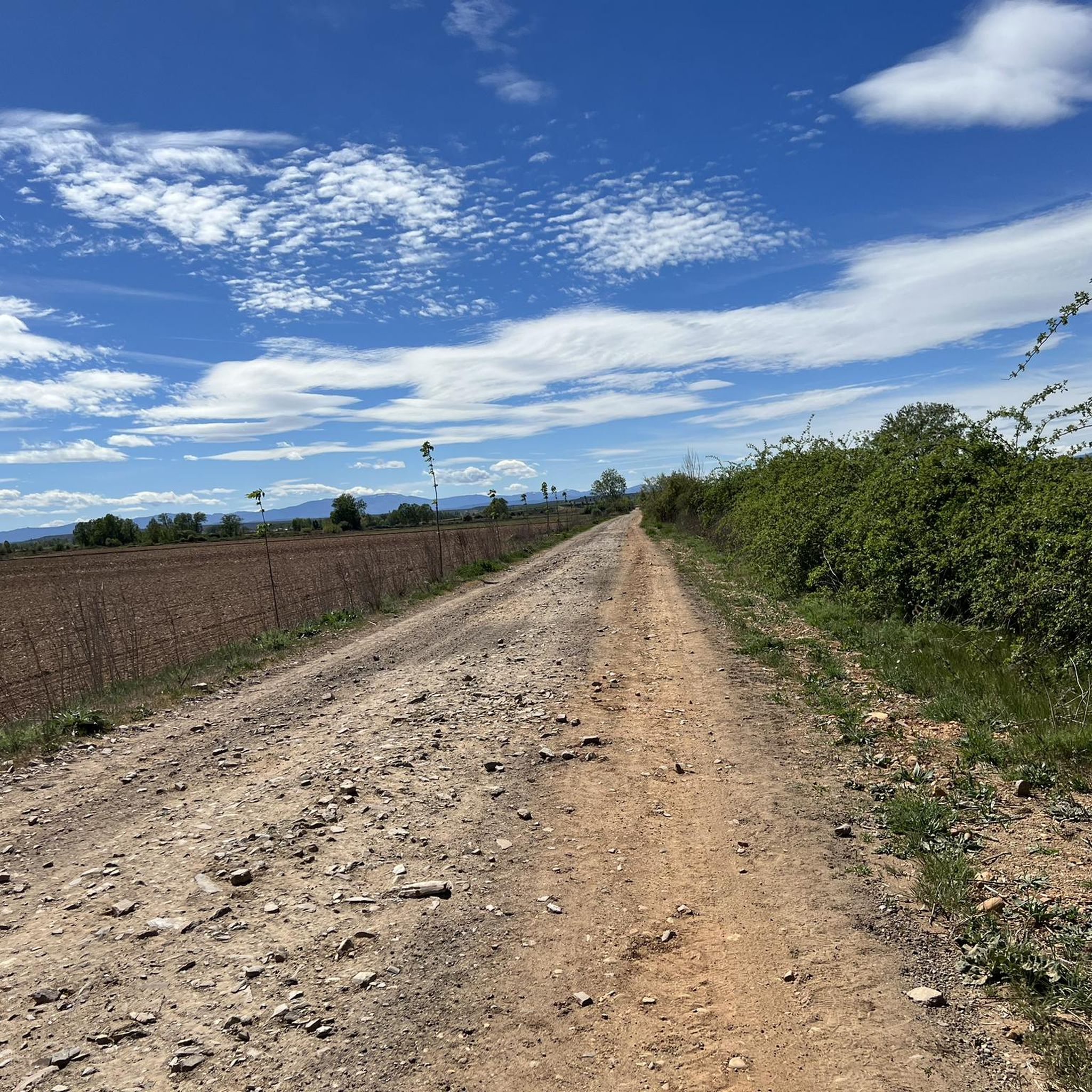
Hiking around Roperuelos Del Páramo
Hiking around Valdefuentes Del Páramo
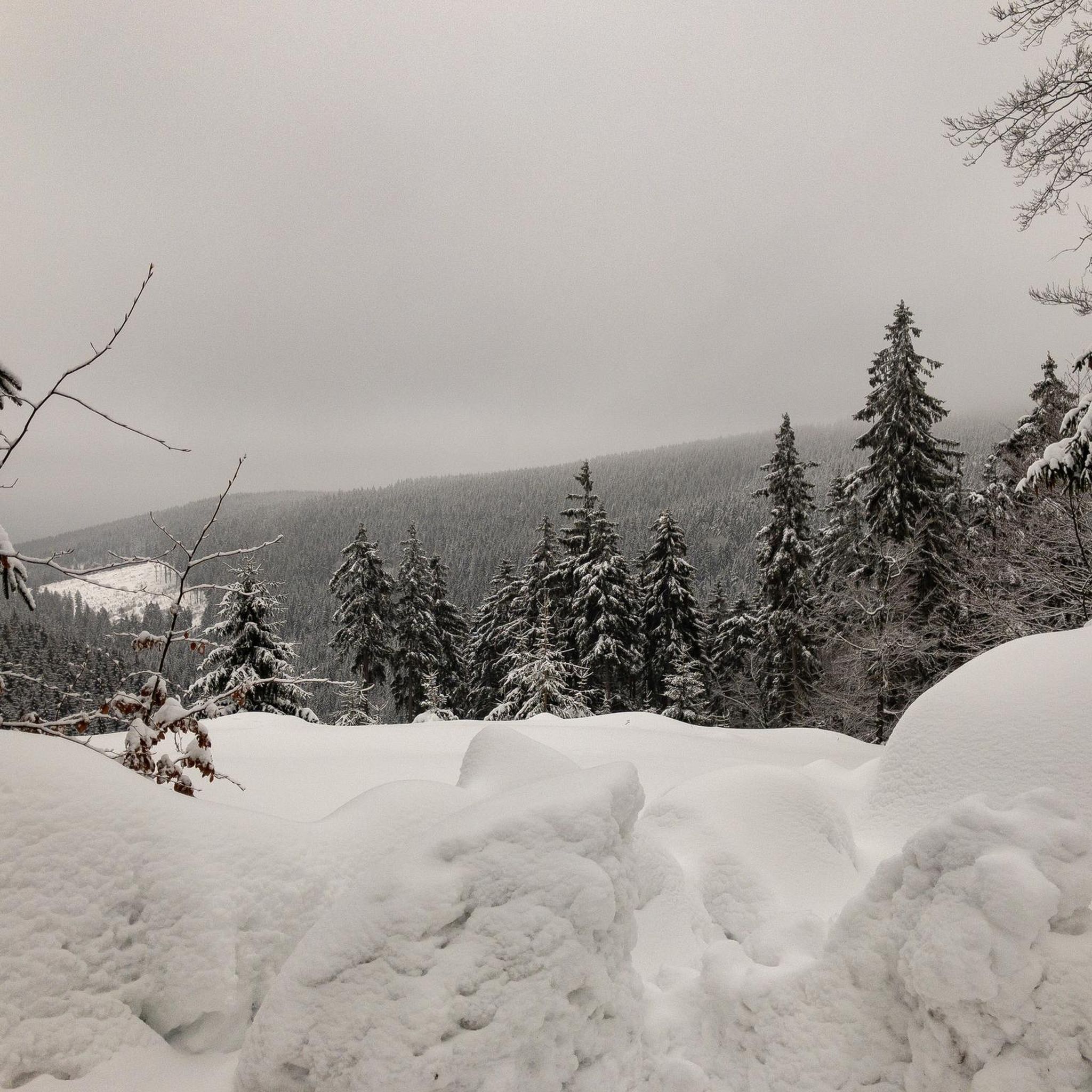
Hiking around Laguna Dalga
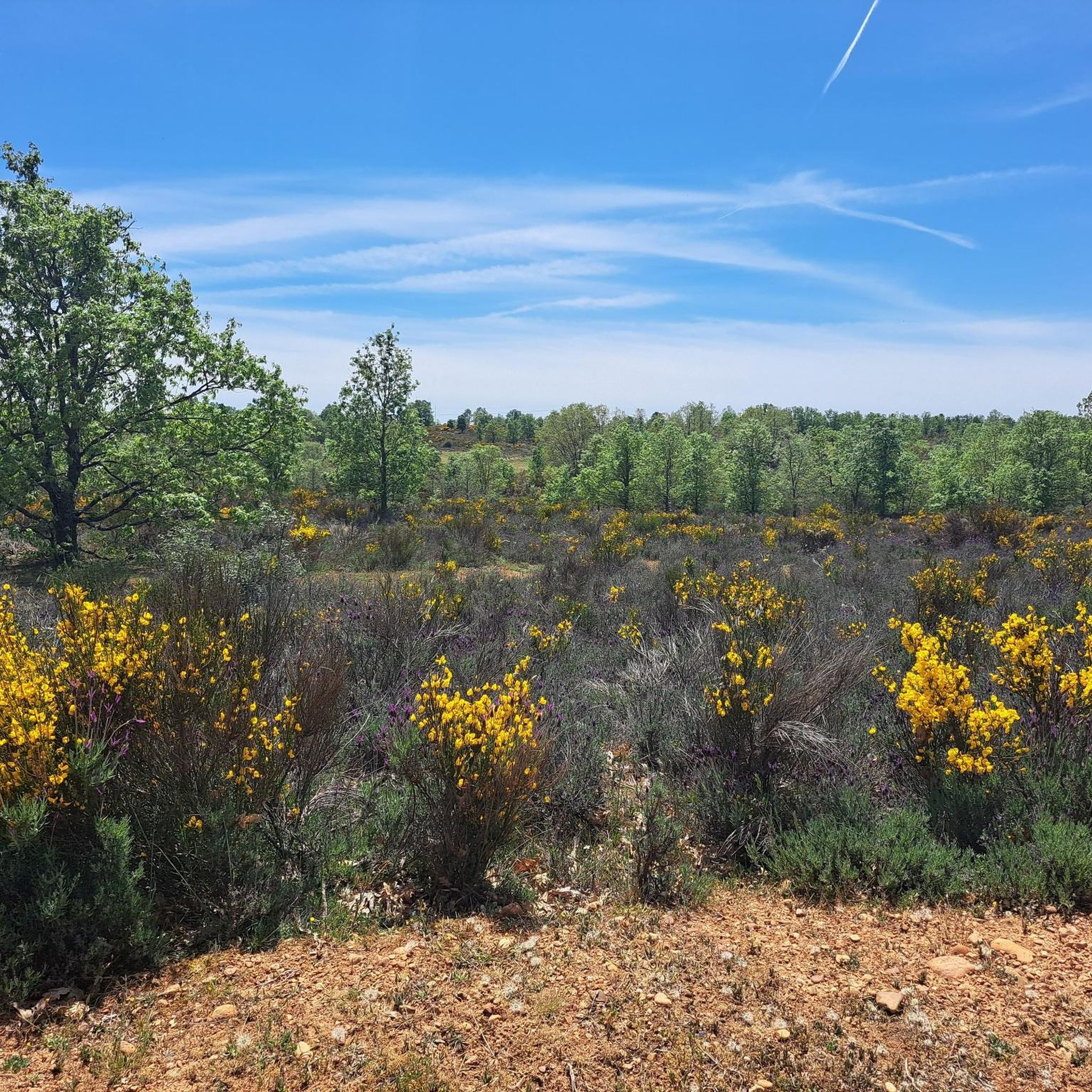
Hiking around Chozas De Abajo

Hiking around San Adrián Del Valle
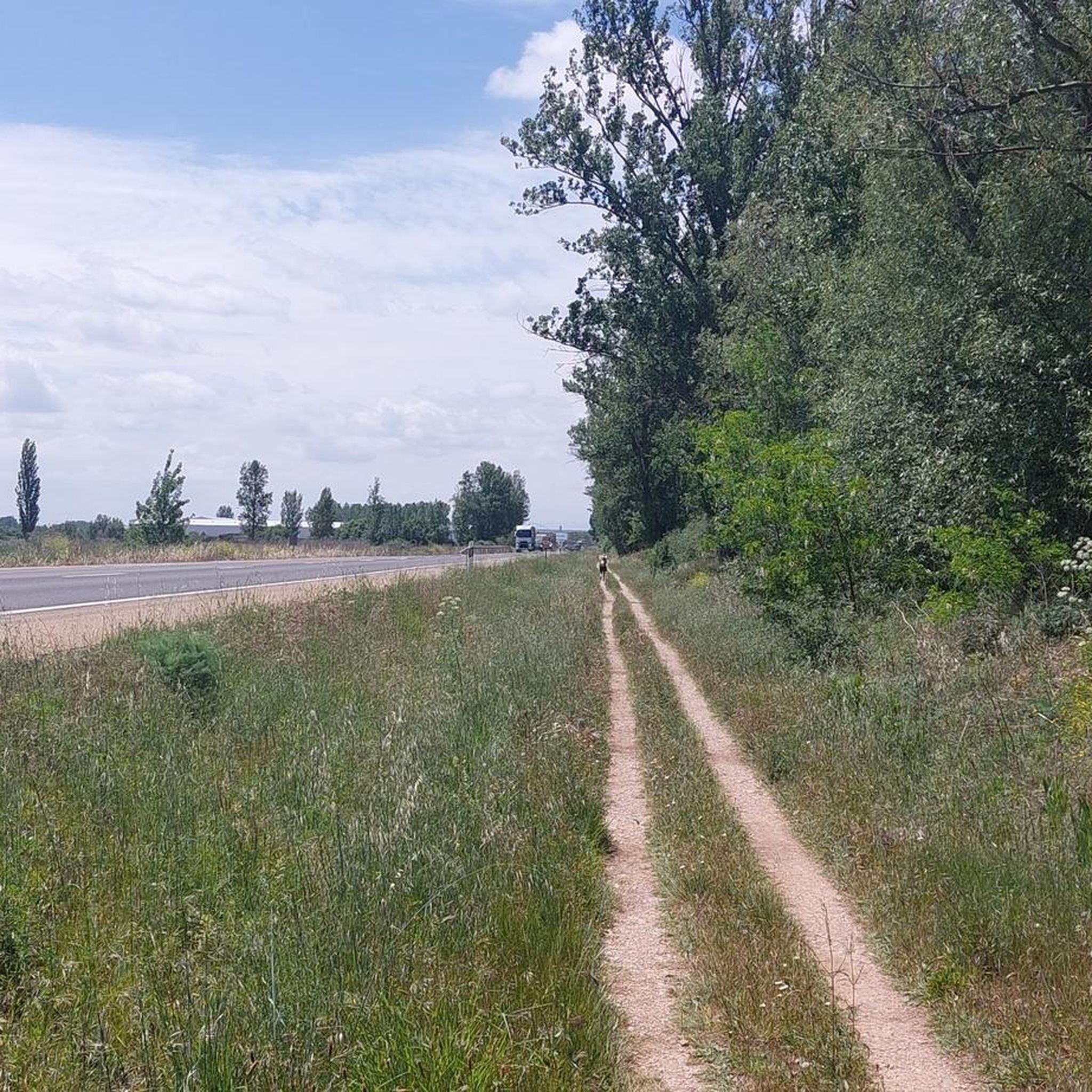
Hiking around Santa Marina Del Rey
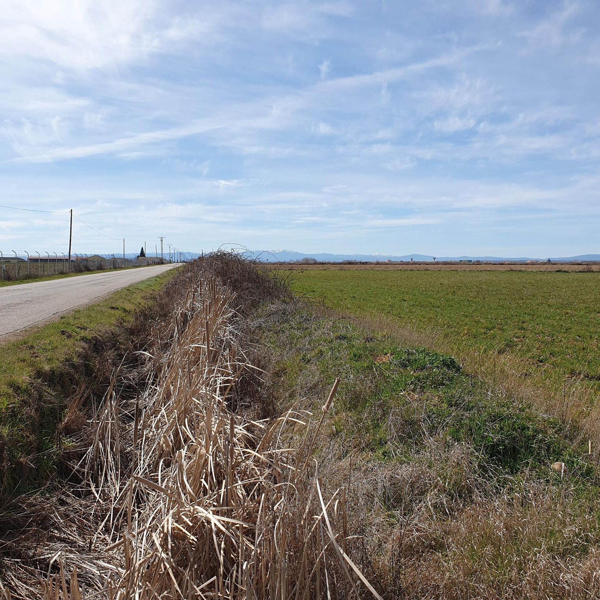
Hiking around Bustillo Del Páramo
Tips from the Community

Don't miss the storks' nests located on the bell towers at the beginning and end of the bridge. Enjoy good coffee and a Spanish omelet just before crossing it on the right.
1
0
Long, made of stone, and with the memory of eternal passage. Here, time stretches arch by arch, and each crossing feels like a small ritual. You don't need to know anything about the past to feel it: simply roll (or walk) slowly and let the bridge do its work, which isn't to take you to the other side, but to leave you inside for a moment.
1
0


Beautiful medieval village known above all for the charming bridge that leads to the village
3
0

The Church of Santa Engracia in Valverde de la Virgen is a significant place of worship in the region of León. Built in 1987, this church preserves the tower of the old church on its exterior, which stands out for its curious two-body bell gable and numerous stork nests. The church is an important reference point for locals and pilgrims who travel the Camino de Santiago.
2
0
The Church of Chozas de Abajo is located in the central square of the town, next to the House of Culture. It is a modern and simple construction, with a bell tower that stands out for its artistic design and breaks with traditional rules. This church is an important landmark in the town and is part of local festivities, such as the Fiestas de San Martín on November 11 and the Fiesta del Verano on August 10.
4
0
The Project - G. San Millán in Villar de Mazarife is a work of art located in this small town in the province of León. This project is known for its magnificent mural that welcomes pilgrims who travel the French Way. The mural is located at the entrance of the town and is one of the highlights for visitors and pilgrims.
2
0

A beautiful path and a good alternative to the path along the road
1
0
Frequently Asked Questions
What kind of terrain can I expect when hiking in El Paramo?
Hiking in El Paramo primarily involves trails situated within the region of León, characterized by river valleys and agricultural landscapes. The terrain is generally flat to gently undulating, with routes often following historical paths such as the Camino Francés and Vía de la Plata. You'll find accessible walking experiences with minimal elevation changes.
What is the general difficulty level of hikes in El Paramo?
El Paramo offers a range of trails suitable for various ability levels. Out of 52 total tours, there are 18 easy routes, 29 moderate routes, and 5 more challenging options. This means you can find everything from easy strolls along riverbanks to longer, more demanding walks.
Are there any circular hiking routes in El Paramo?
Yes, El Paramo features several enjoyable circular routes. One popular option is the Ribera del río Órbigo – circular desde Soto de la Vega, an easy 5.3 km path offering views along the Órbigo River. Another is the Laguna de Fuente Blanca by Chozas de Abajo and Villar de Mazarife — by circular by the camino francés, a 12.7 km trail through agricultural areas.
What natural features can I expect to see on the trails?
The natural features of El Paramo are defined by its riverine paths, agricultural plains, and the presence of water bodies. You can expect to walk alongside rivers like the Órbigo and pass by areas such as the Laguna de Fuente Blanca, offering serene views of the local flora and agricultural scenery.
Are there any interesting landmarks or places to explore along the hiking trails?
Yes, several routes pass by notable landmarks. For instance, the Vía de la Plata and Bazán Castle Loop will take you past historic sites. You might also encounter settlements like Villar de Mazarife, the Monument to the Pilgrim of Villavante, or the Church of Chozas de Abajo. Many trails also follow sections of the historic Camino Francés, marked by features like the Camino de Santiago Marker 301.1 km.
What do other hikers enjoy most about hiking in El Paramo?
The area is highly rated by the komoot community, with an average score of 4.6 stars from over 130 reviews. Hikers often praise the accessible nature of the trails, the peaceful agricultural landscapes, and the opportunity to walk sections of historic pilgrimage routes like the Camino Francés.
How long do hikes in El Paramo typically take?
Hike durations vary depending on the route. For example, the easy Ribera del río Órbigo – circular desde Soto de la Vega can be completed in about 1 hour 21 minutes, while a moderate route like Chozas de Abajo from Oncina de la Valdoncina via the Camino Francés typically takes around 3 hours 8 minutes. Longer, more difficult routes can take 6 hours or more.
Are there any challenging hikes in El Paramo?
While many routes are easy to moderate, there are some more challenging options available. For instance, the El Cañín Spring – Church of Chozas de Abajo loop from Quintana-Raneros is a difficult 26.5 km trail with a significant elevation gain for the region, offering a longer and more demanding experience.
Can I find routes that follow the Vía de la Plata in El Paramo?
Yes, El Paramo includes sections of the historic Vía de la Plata. You can explore routes like the Vía de la Plata and Bazán Castle Loop, which is a moderate 13.6 km hike, or the Puente de la Vizana y Castillo de los Pimentel — desde Alija del Infantado por la Vía de la Plata, an easy 6.1 km path.
Are there any routes that follow the Camino Francés in El Paramo?
Absolutely. El Paramo is known for its sections of the Camino Francés. Popular options include Chozas de Abajo from Oncina de la Valdoncina via the Camino Francés, a moderate 12.1 km trail, and the Camino Francés: Hospital de Órbigo Alternative Route, an 11.1 km moderate hike.
What is the best time of year to go hiking in El Paramo?
Given the agricultural and riverine nature of the region, spring and autumn generally offer the most pleasant hiking conditions with mild temperatures and vibrant landscapes. Summer can be warm, while winter might bring cooler temperatures, though the generally flat terrain makes it accessible year-round.
Most popular routes around El Paramo
Most popular attractions around El Paramo

Get inspired with the komoot mobile app


Didn’t find what you were looking for?
Check out more Hikes throughout El Paramo below and find the perfect route in your destination.
Explore more
Browse the best Hikes in other regions.
