The best walks and hikes around Esla-Campos
4.2
(257)
2,021
hikers
178
hikes
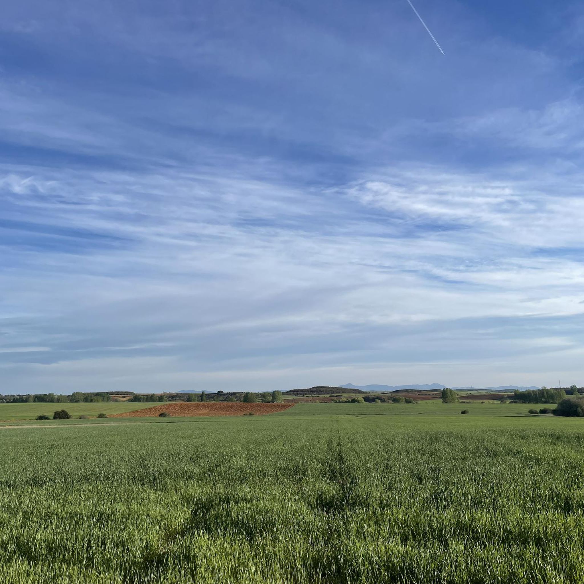
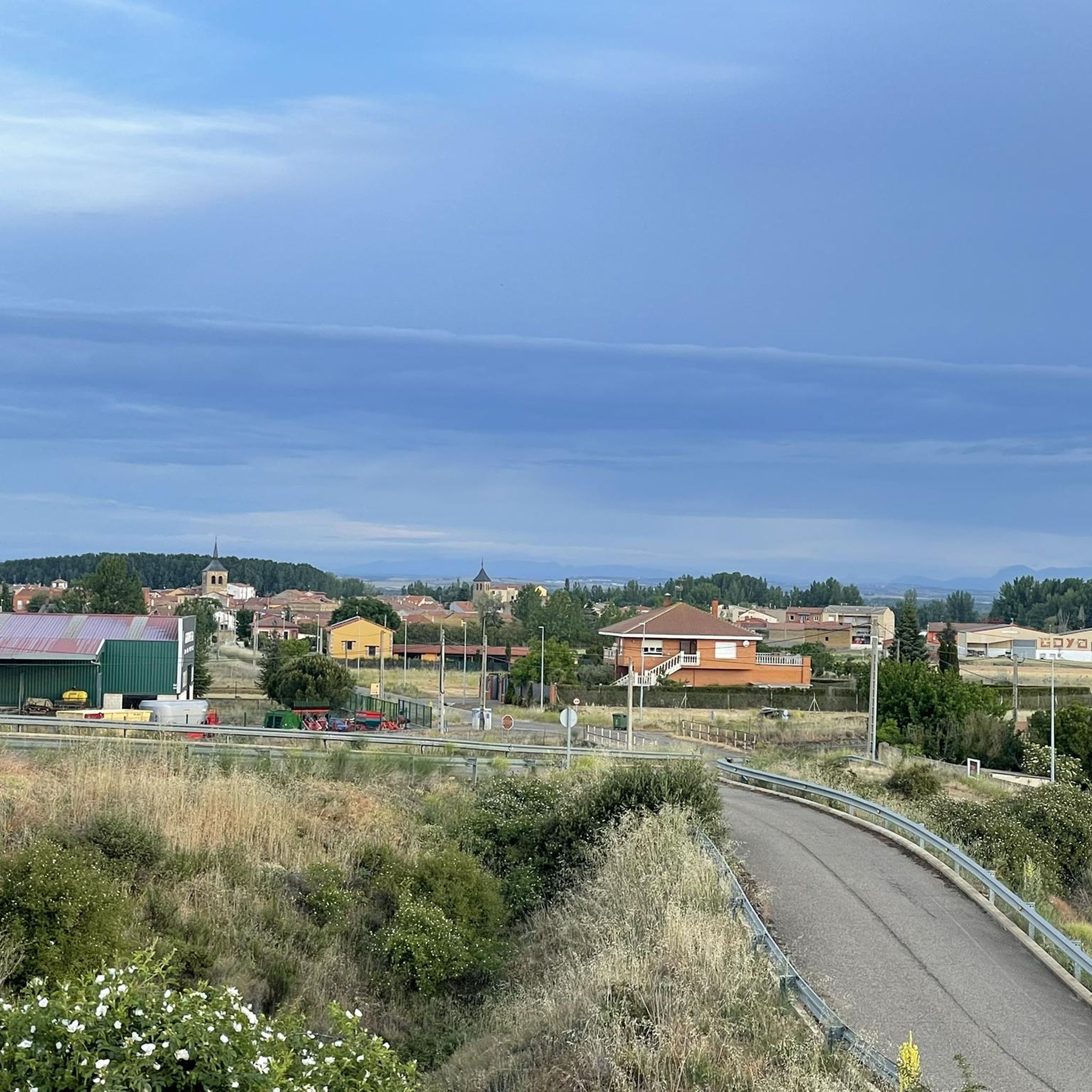
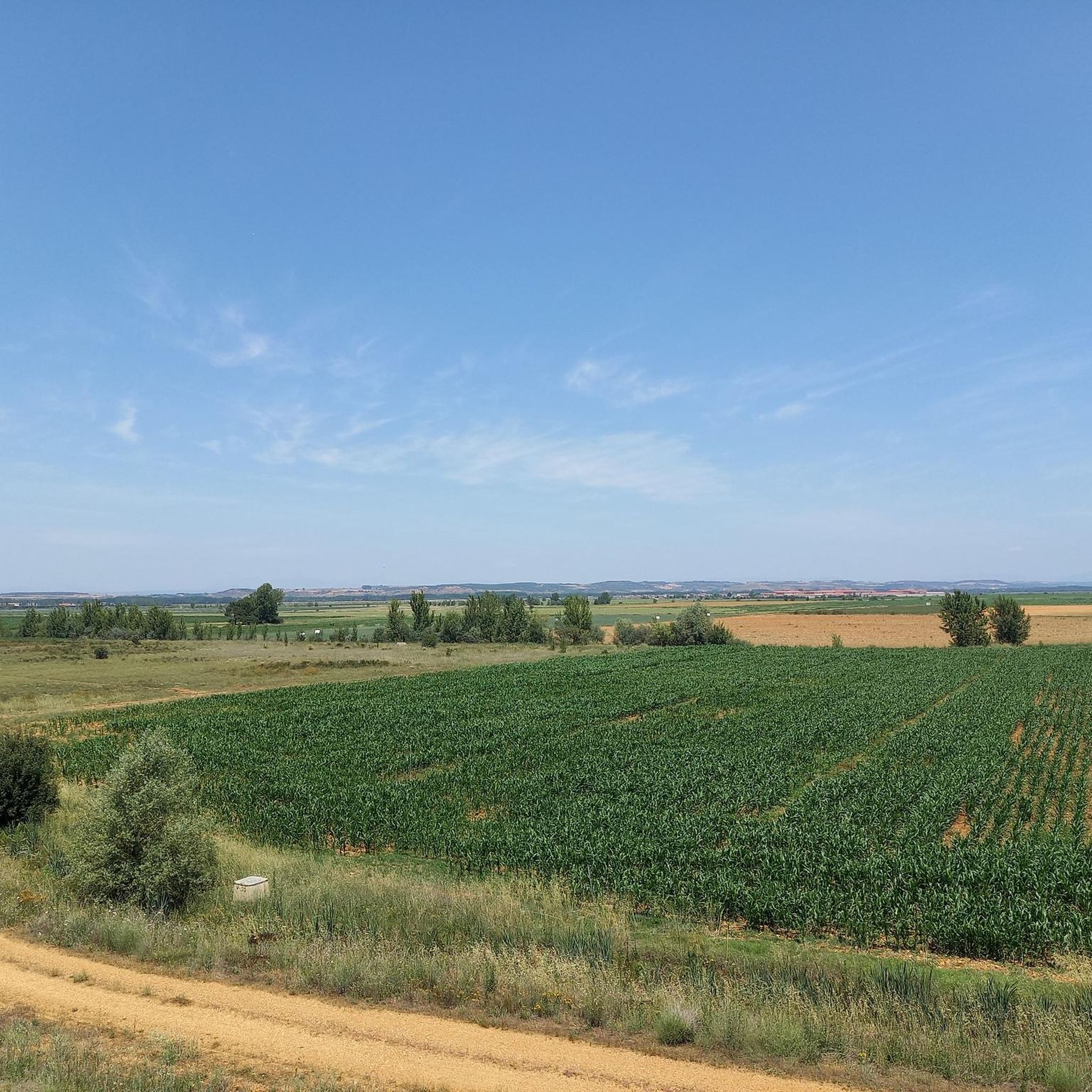
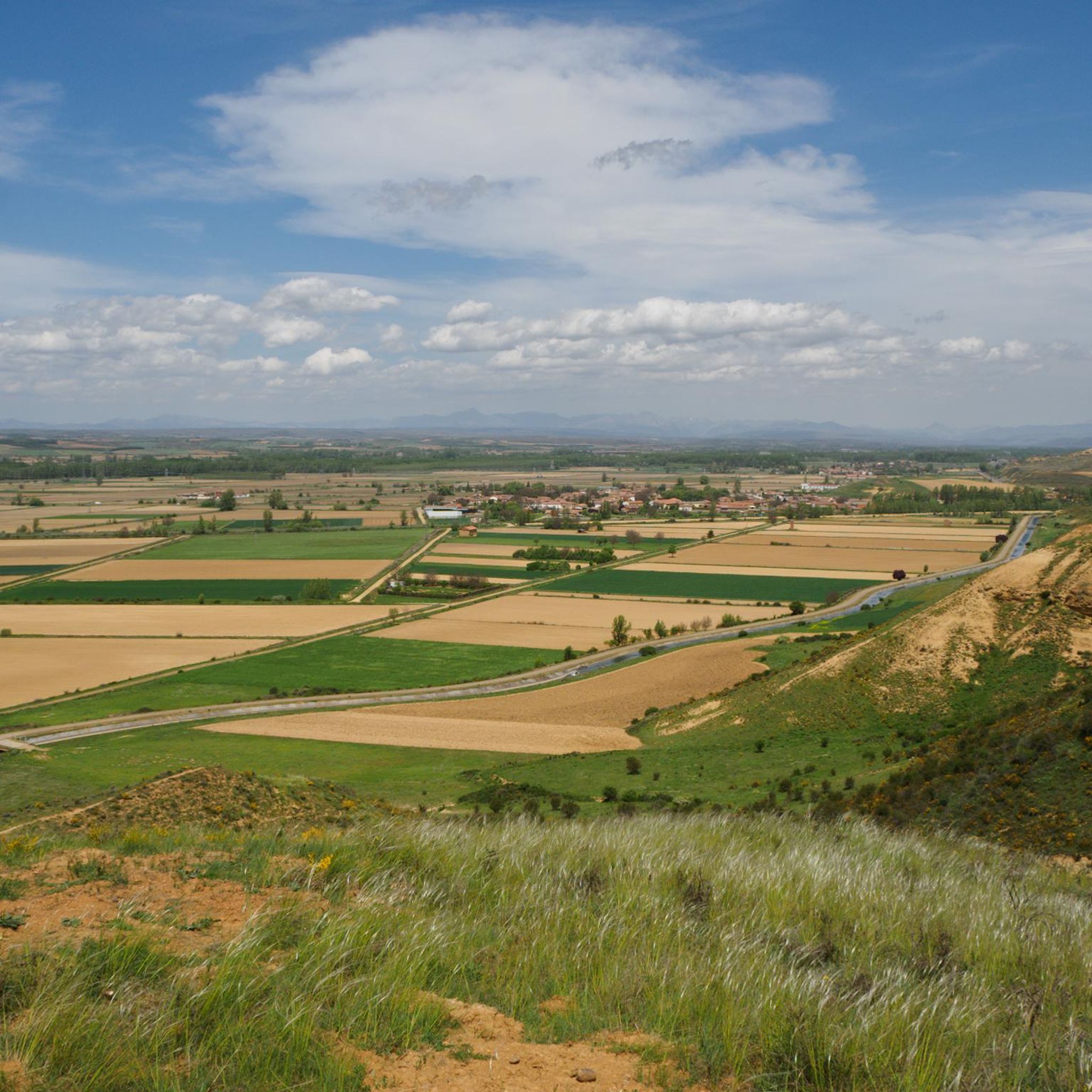
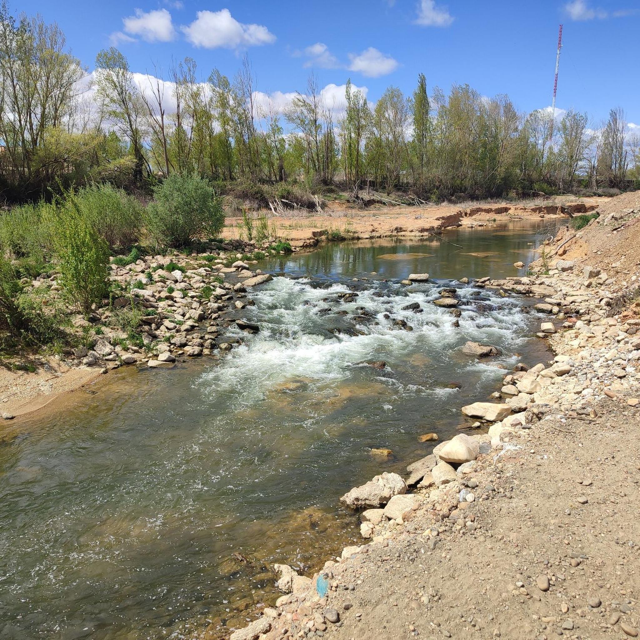
Hiking around Esla-Campos offers a diverse range of trails primarily characterized by river valleys, agricultural plains, and historical routes. The region features paths along the Torío River and through various parks, providing a mix of natural and semi-urban landscapes. Elevations are generally gentle, with most routes staying below 200 meters, making it accessible for various fitness levels. The terrain often includes well-maintained paths suitable for walking and exploring the local environment.
Best hiking trails around Esla-Campos
- The most popular hiking…
Last updated: July 7, 2026
3.0
(1)
2
hikers
6.14km
01:41
100m
100m
Easy hike. Great for any fitness level. Easily-accessible paths. Suitable for all skill levels.
1
hikers
13.0km
03:17
30m
30m
Moderate hike. Good fitness required. Easily-accessible paths. Suitable for all skill levels.

Sign up for free
4.4
(34)
217
hikers
20.9km
05:31
190m
190m
Hard hike. Very good fitness required. Easily-accessible paths. Suitable for all skill levels.
4.3
(3)
35
hikers
9.55km
02:26
30m
30m
Moderate hike. Good fitness required. Easily-accessible paths. Suitable for all skill levels.
5.0
(2)
27
hikers
14.3km
03:47
140m
140m
Moderate hike. Good fitness required. Easily-accessible paths. Suitable for all skill levels.
12
hikers
12.1km
03:17
170m
170m
Moderate hike. Good fitness required. Easily-accessible paths. Suitable for all skill levels.
3.0
(2)
10
hikers
10.0km
02:34
40m
40m
Moderate hike. Good fitness required. Easily-accessible paths. Suitable for all skill levels.
5
hikers
17.5km
04:39
170m
170m
Moderate hike. Good fitness required. Easily-accessible paths. Suitable for all skill levels.
10
hikers
Moderate hike. Good fitness required. Easily-accessible paths. Suitable for all skill levels.
2
hikers
12.8km
03:25
140m
140m
Moderate hike. Good fitness required. Easily-accessible paths. Suitable for all skill levels.
Get access to more routes and recommendations from other explorers.
Sign up for free
Already have an account?
Our route recommendations are based on thousands of hikes, rides, and runs completed by other people on komoot.
Start today with a free account
Your next adventure awaits.
Login or Signup
Popular around Esla-Campos
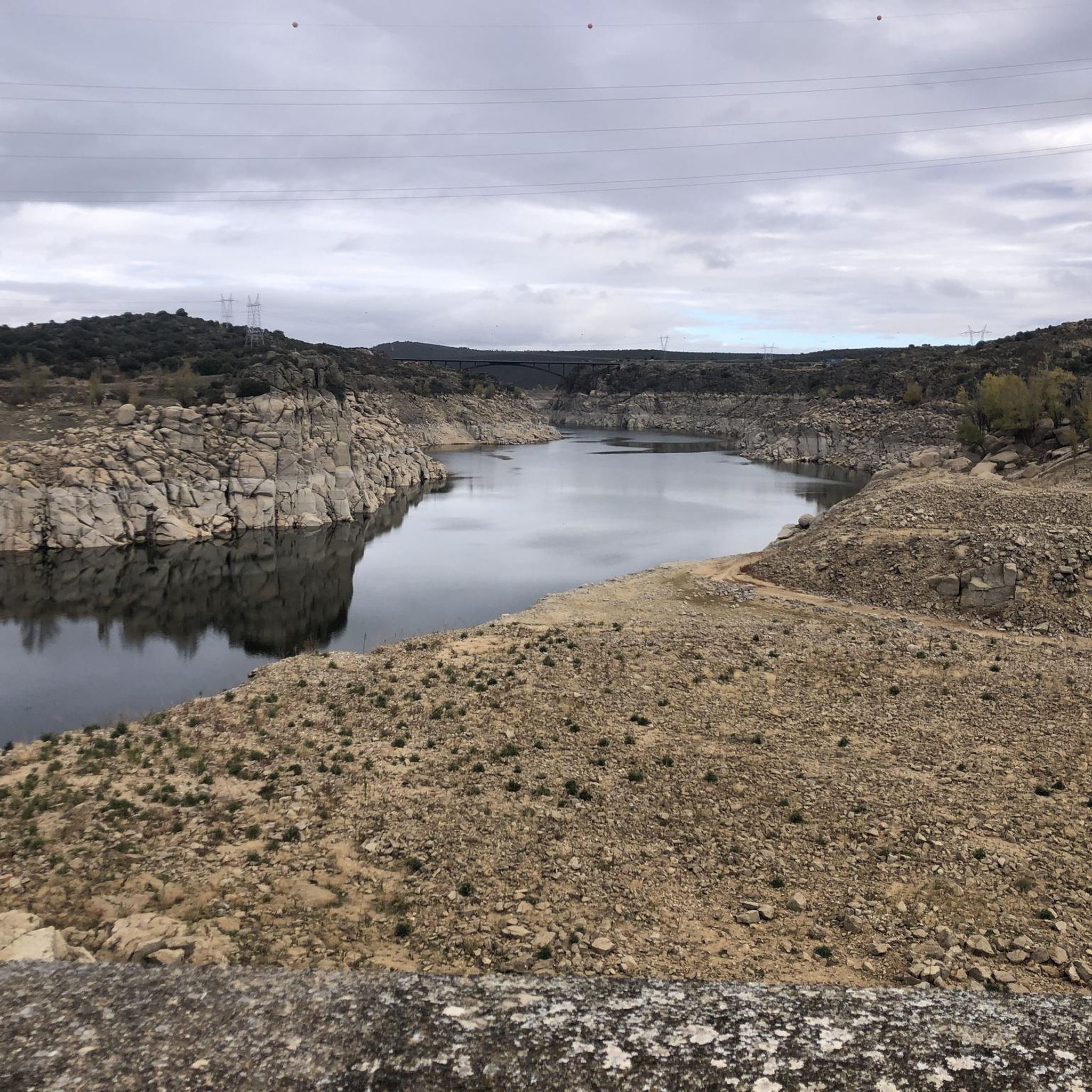
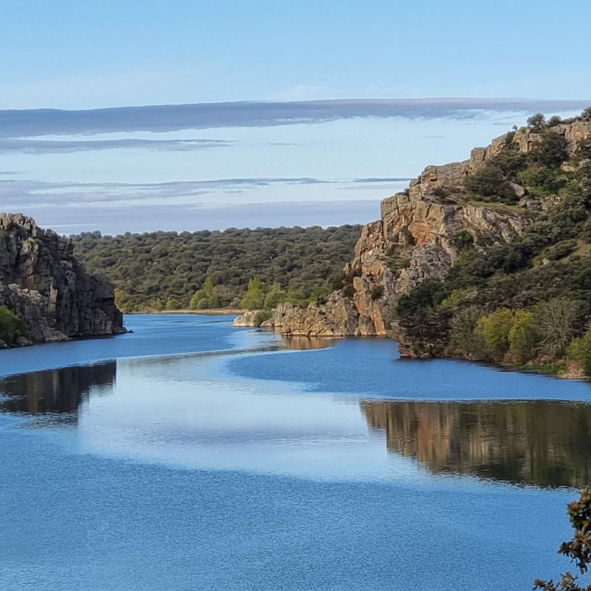
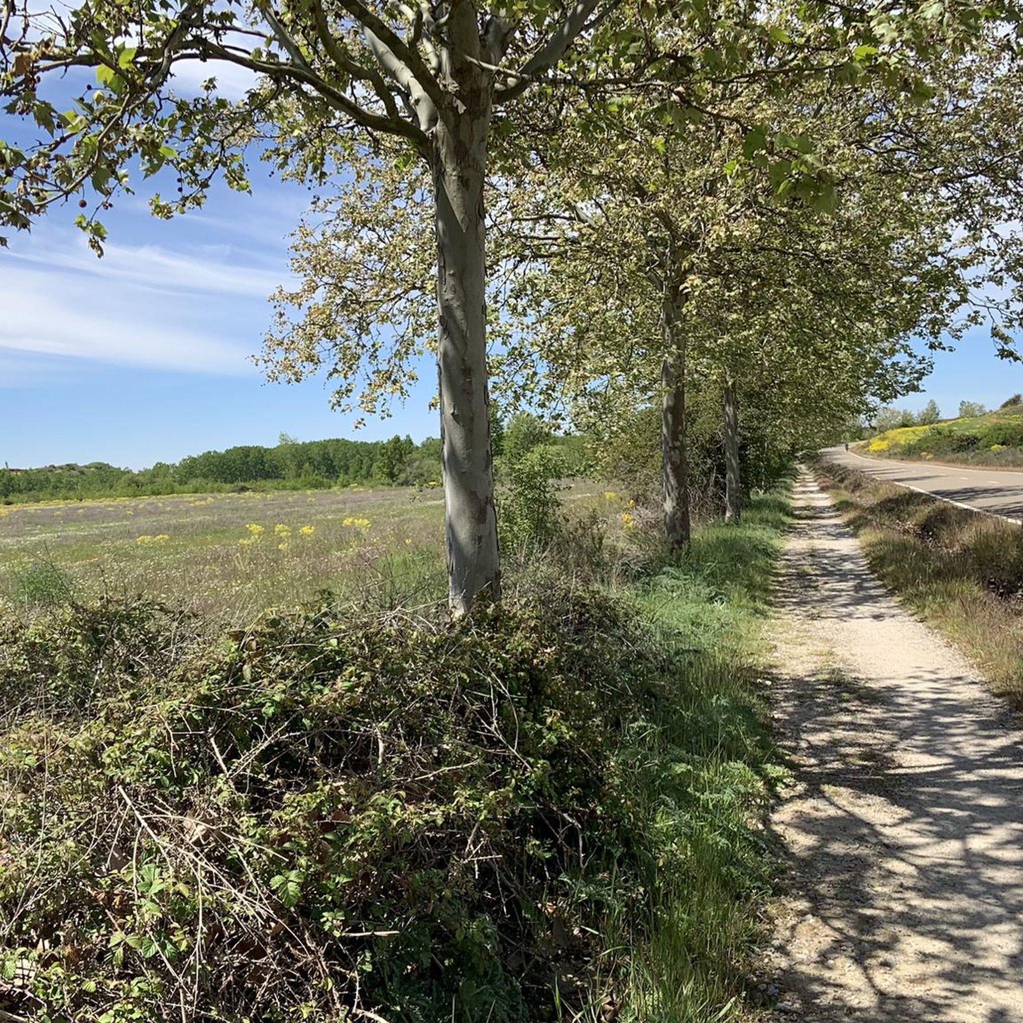
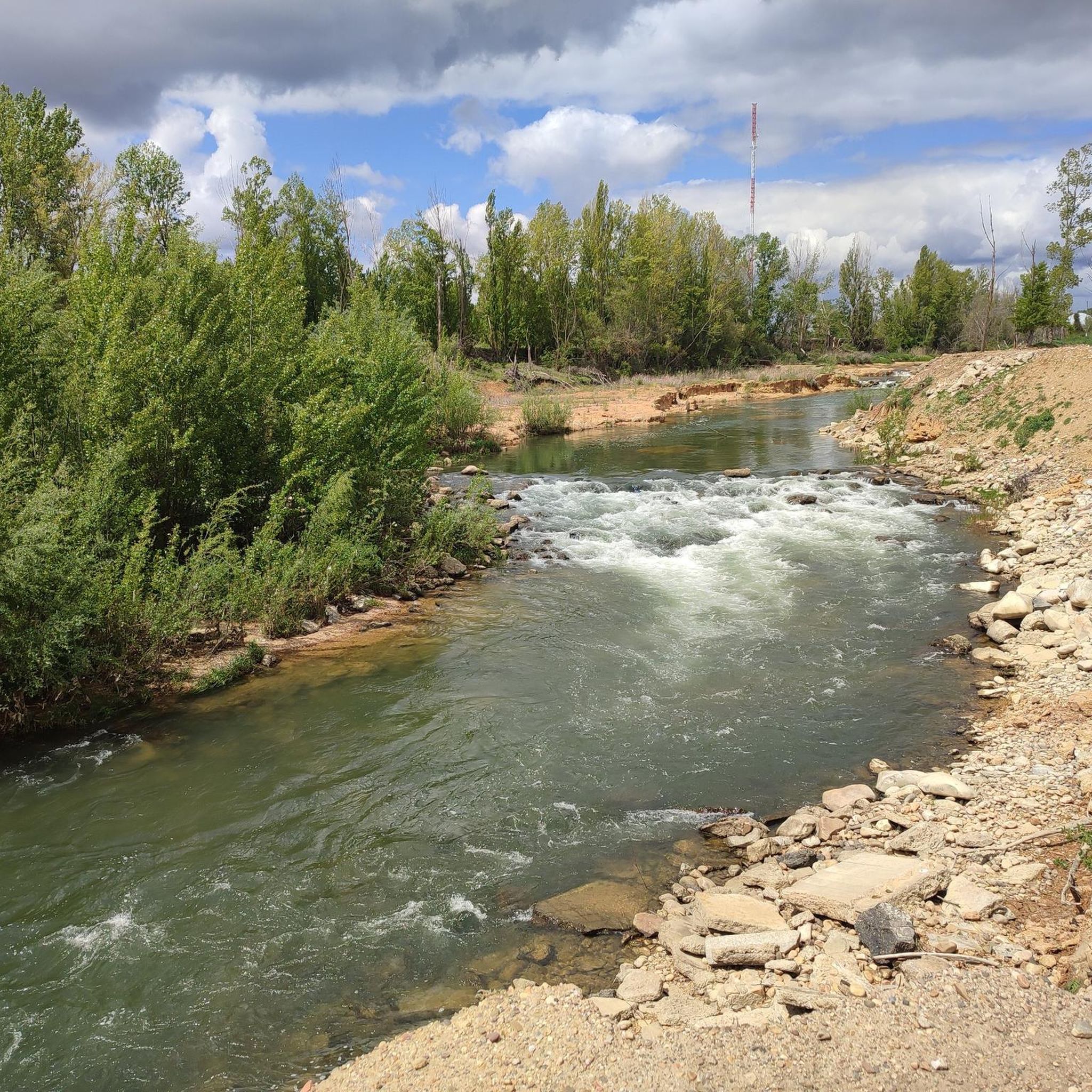
Tips from the Community

Not so far away, Leon is finally in front of you.
1
0


The cathedral can be seen in the background.
2
0
From here you have a great first view of the Cathedral of Leon.
1
0
From here you have a beautiful and first view of Leon.
2
0
At many churches along the Way of St. James, you can see the many stork nests and observe the storks. It's a wonderful sight to see these animals.
1
1
Frequently Asked Questions
What is the overall difficulty level of hiking trails in Esla-Campos?
Esla-Campos offers a wide range of trails suitable for various fitness levels. The majority of routes are classified as easy (83 tours) or moderate (86 tours), with a smaller selection of more challenging difficult routes (7 tours). This makes the region accessible for casual walkers and experienced hikers alike.
Are there many circular hiking routes available in Esla-Campos?
Yes, Esla-Campos features numerous circular routes, perfect for day hikes. An excellent example is the Mansilla de las Mulas — circular by Camino Vadiniense, a moderate 12.9 km path that incorporates sections of a historic pilgrimage route. Another option is the Papalaguinda Park loop from León, a moderate 9.5 km route.
What kind of natural attractions or landmarks can I expect to see along the trails?
The region's trails often follow river valleys and historical paths, offering sights like ancient bridges and unique geological features. You might encounter the historic Puente de Villarente or the Esla River Bridge in Mansilla de las Mulas. For a natural wonder, the Reliegos Meteorite Impact Site is a notable point of interest.
Are there any family-friendly hiking options in Esla-Campos?
Many of the easy and moderate trails in Esla-Campos are suitable for families. Routes like the Villafañe-Lancia PRC-LE 66 Trail, an easy 6.1 km path, are ideal for a pleasant outing with children, offering gentle terrain through rural landscapes.
What is the best season for hiking in Esla-Campos?
Given the region's generally gentle elevations and mix of river valleys and agricultural plains, spring and autumn are often ideal for hiking in Esla-Campos, offering pleasant temperatures and vibrant scenery. Summer can also be enjoyable, especially along river paths, though it may be warmer.
Are there any trails that offer views of the city of León or its cathedral?
Yes, some routes provide scenic views towards León. The La Candamia Park – View of León from Las Lomas loop from León is a moderate 11.8 km trail that offers vistas of the city. Another option is the View of León Cathedral – Torío River loop from Arcahueja, a longer 18.4 km route with impressive sights.
What do other hikers say about the trails in Esla-Campos?
The hiking routes in Esla-Campos are highly rated by the komoot community, with an average score of 4.3 stars from over 200 reviews. Hikers often praise the diverse terrain, from river paths to historical routes, and the accessibility for various ability levels.
Are there any trails that follow historical routes or pilgrimage paths?
Yes, the region is known for incorporating historical routes. The Mansilla de las Mulas — circular by Camino Vadiniense is a prime example, utilizing sections of the ancient Camino Vadiniense. You can also explore routes near the Roman City Walls of León – Plaza del Grano loop from Puente Castro.
Can I find trails that are suitable for a longer, more challenging day hike?
For those seeking a longer and more challenging experience, the Fountain and bridge – Torío River loop from Arcahueja is a difficult 21.4 km trail that leads through the Torío River valley, typically taking around 5 hours 39 minutes to complete.
Are there any trails that explore the local parks or green spaces?
Absolutely. Esla-Campos features routes through local parks. The Torío River – La Candamia Park loop from Puente Castro is a moderate 9.8 km trail that combines river scenery with park exploration. Another option is the Papalaguinda Park loop from León.
What kind of wildlife might I encounter on the trails in Esla-Campos?
While specific wildlife sightings can vary, the river valleys and agricultural plains of Esla-Campos provide habitats for various bird species and small mammals. Hikers may spot waterfowl along the Torío River or observe local fauna in the more rural sections of the trails.
Are there any unique or 'hidden gem' trails in the Esla-Campos region?
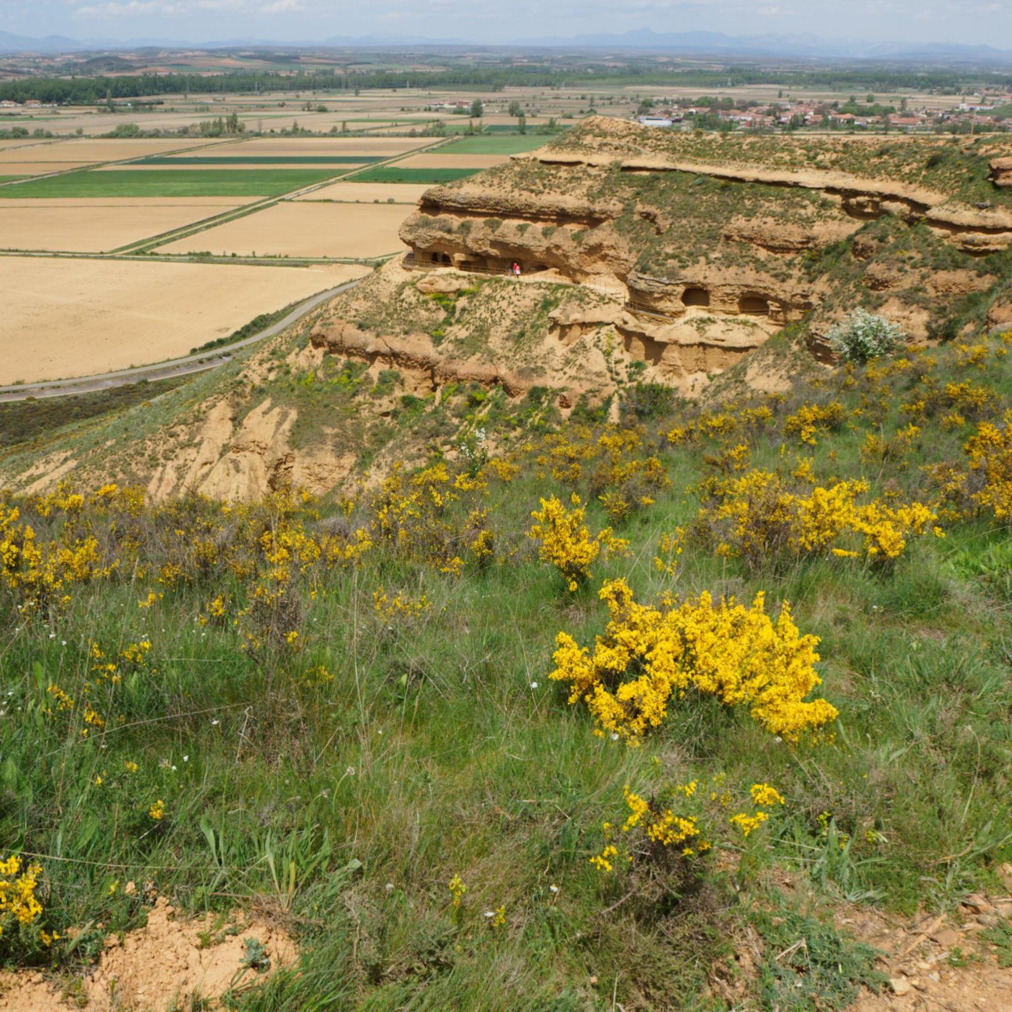
For a unique experience, consider the Pilgrim Monument in Reliegos – Earth Houses of Reliegos loop from Las Tranquilleras. This moderate 12.4 km route offers a glimpse into local history and architecture, including the distinctive 'Earth Houses' of Reliegos.
Most popular routes around Esla-Campos
Most popular attractions around Esla-Campos

Get inspired with the komoot mobile app


Didn’t find what you were looking for?
Check out more Hikes throughout Esla-Campos below and find the perfect route in your destination.
Explore more
Browse the best Hikes in other regions.
