The best walks and hikes around Cerdanya
4.5
(3178)
27,953
hikers
192
hikes
Hiking around Cerdanya offers a diverse landscape within the Pyrenees, characterized by a wide, flat valley surrounded by high mountains like the Serra del Cadí. The region features rugged peaks, numerous glacial lakes, and verdant valleys, providing varied terrain for outdoor activities. Its ecosystems blend Mediterranean, sub-Mediterranean, and Alpine features, supporting a rich diversity of flora. This geographical composition makes Cerdanya a destination for mountain and valley hiking.
Best hiking trails around Cerdanya
- The most popular hiking route is Moixeró Summit Loop, an 8.0 miles (12.9 km) trail that takes 4 hours 39 minutes to complete. This moderate route explores the Moixeró mountain range.
- Another top favourite among local hikers is Lakes of Pera and Peaks of Sirvent, Perafita and Monturull, a moderate 6.4 miles (10.4 km) path. This trail navigates through high mountain terrain, passing by glacial lakes and offering views from several peaks.
- Local hikers also love the Prullans - Cova d'Anes Trail, a 5.3 miles (8.5 km) trail leading through varied landscapes, often completed in about 2 hours 52 minutes.
- Hiking around Cerdanya is defined by rugged mountains, sparkling glacial lakes, and diverse Alpine meadows, offering routes for various fitness levels. The network includes easy paths and more demanding ascents.
- The routes in Cerdanya are highly rated by the komoot community with an average score of 4.6 stars from over 400 reviews. More than 4,500 hikers have used komoot to explore Cerdanya's varied terrain.
Last updated: August 31, 2026
4.4
(7)
45
hikers
12.9km
04:39
530m
530m
Moderate hike. Good fitness required. Mostly accessible paths. Sure-footedness required.
5.0
(5)
32
hikers
10.4km
03:57
680m
680m
Moderate hike. Good fitness required. Mostly accessible paths. Sure-footedness required.

Sign up for free
4.7
(15)
64
hikers
8.52km
02:52
300m
300m
Moderate hike. Good fitness required. Mostly accessible paths. Sure-footedness required.
4.8
(37)
535
hikers
7.73km
03:01
360m
360m
Moderate hike. Good fitness required. Mostly accessible paths. Sure-footedness required.
4.7
(16)
73
hikers
13.4km
04:45
670m
660m
Moderate hike. Good fitness required. Mostly accessible paths. Sure-footedness required.
4.9
(12)
148
hikers
Moderate hike. Good fitness required. Mostly accessible paths. Sure-footedness required.
4.3
(14)
122
hikers
4.64km
01:41
210m
210m
Moderate hike. Great for any fitness level. Mostly accessible paths. Sure-footedness required.
4.3
(6)
94
hikers
Hard hike. Very good fitness required. Mostly accessible paths. Sure-footedness required.
5.0
(2)
55
hikers
17.1km
06:55
1,050m
1,050m
Hard hike. Very good fitness required. Mostly accessible paths. Sure-footedness required.
4.9
(7)
59
hikers
Hard hike. Very good fitness required. Mostly accessible paths. Sure-footedness required.
Get access to more routes and recommendations from other explorers.
Sign up for free
Already have an account?
Our route recommendations are based on thousands of hikes, rides, and runs completed by other people on komoot.
Start today with a free account
Your next adventure awaits.
Login or Signup
Popular around Cerdanya
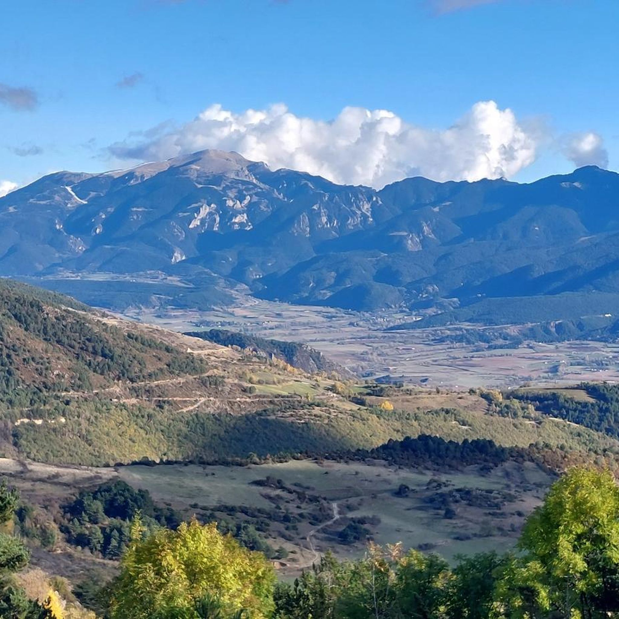
Hiking around Lles De Cerdanya
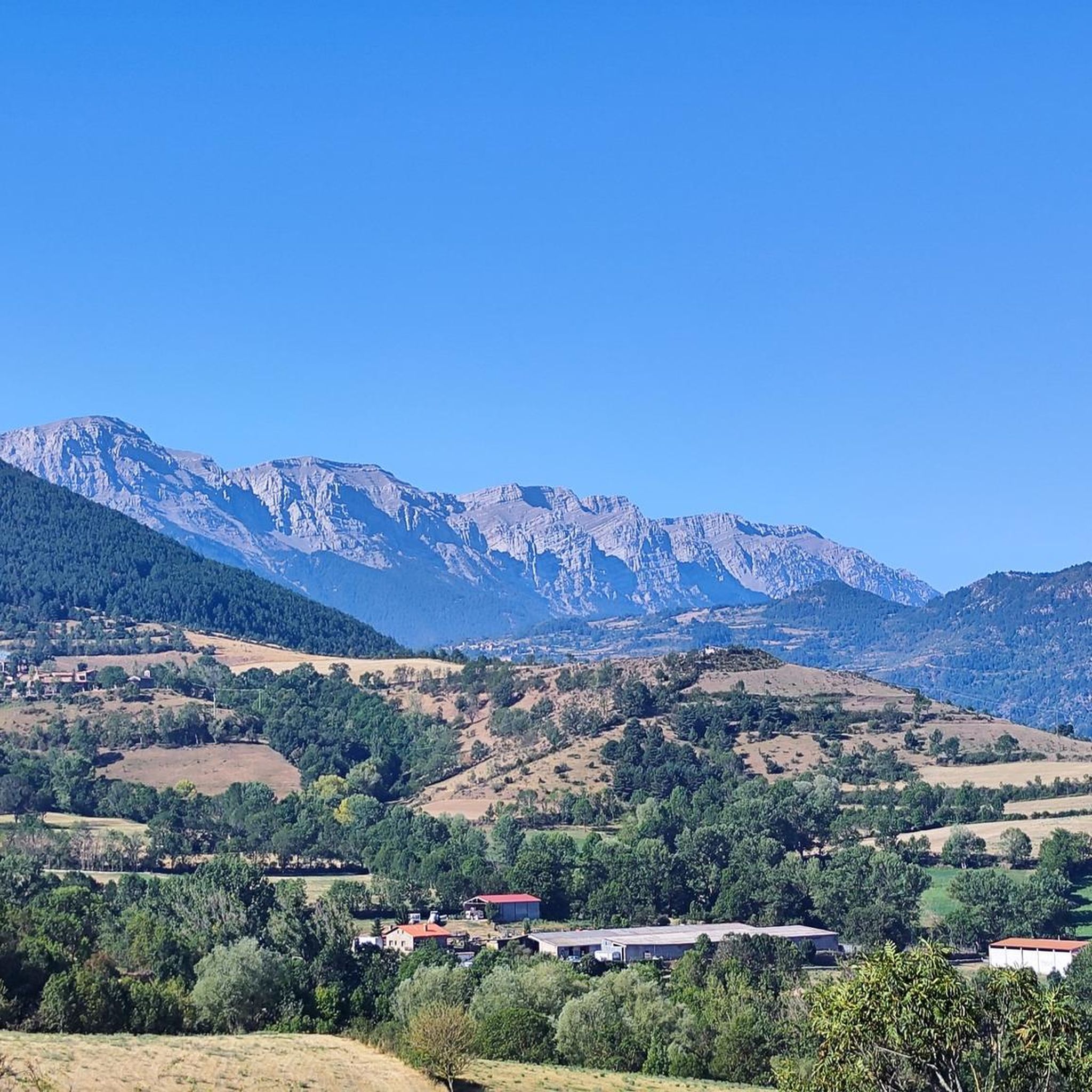
Hiking around Montellà I Martinet
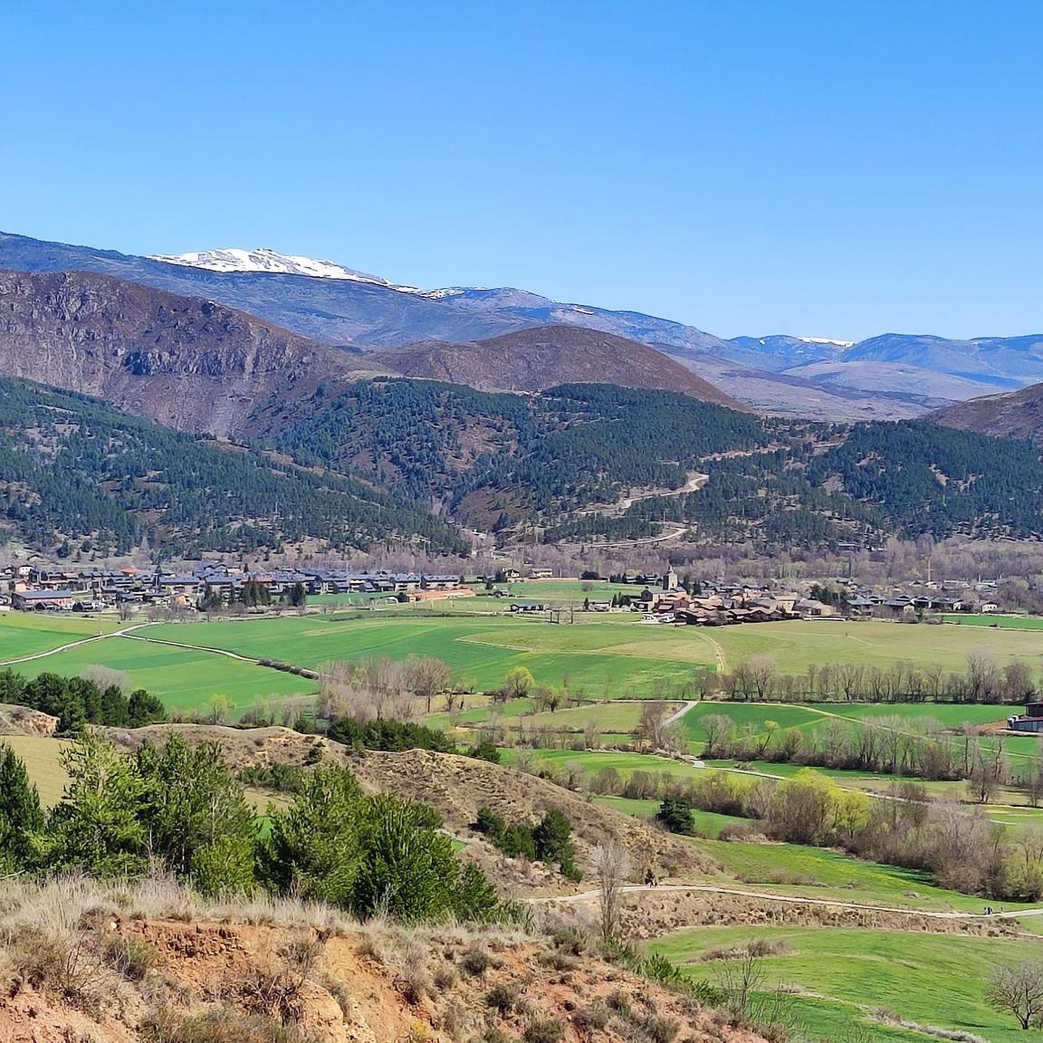
Hiking around Bellver De Cerdanya
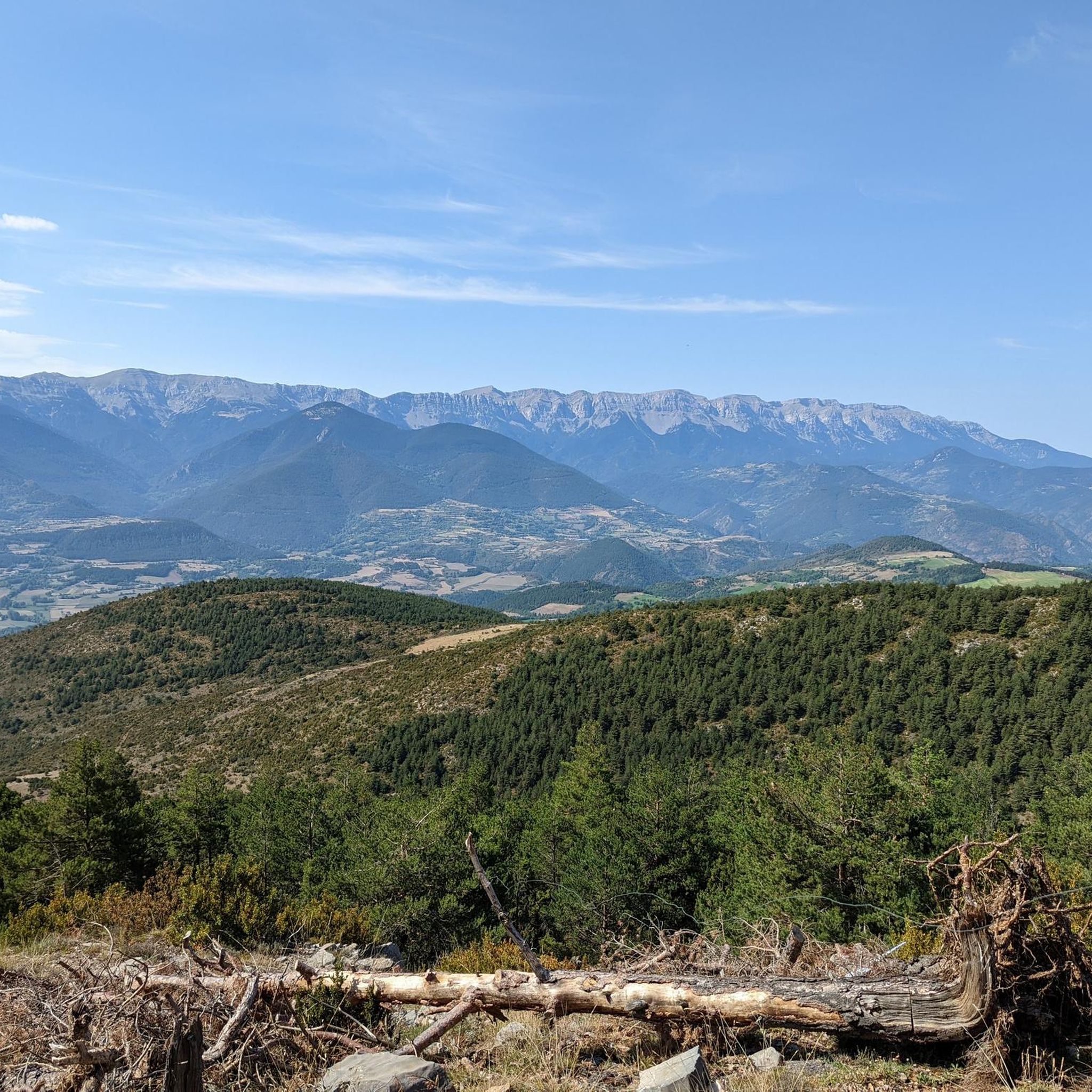
Hiking around Prullans
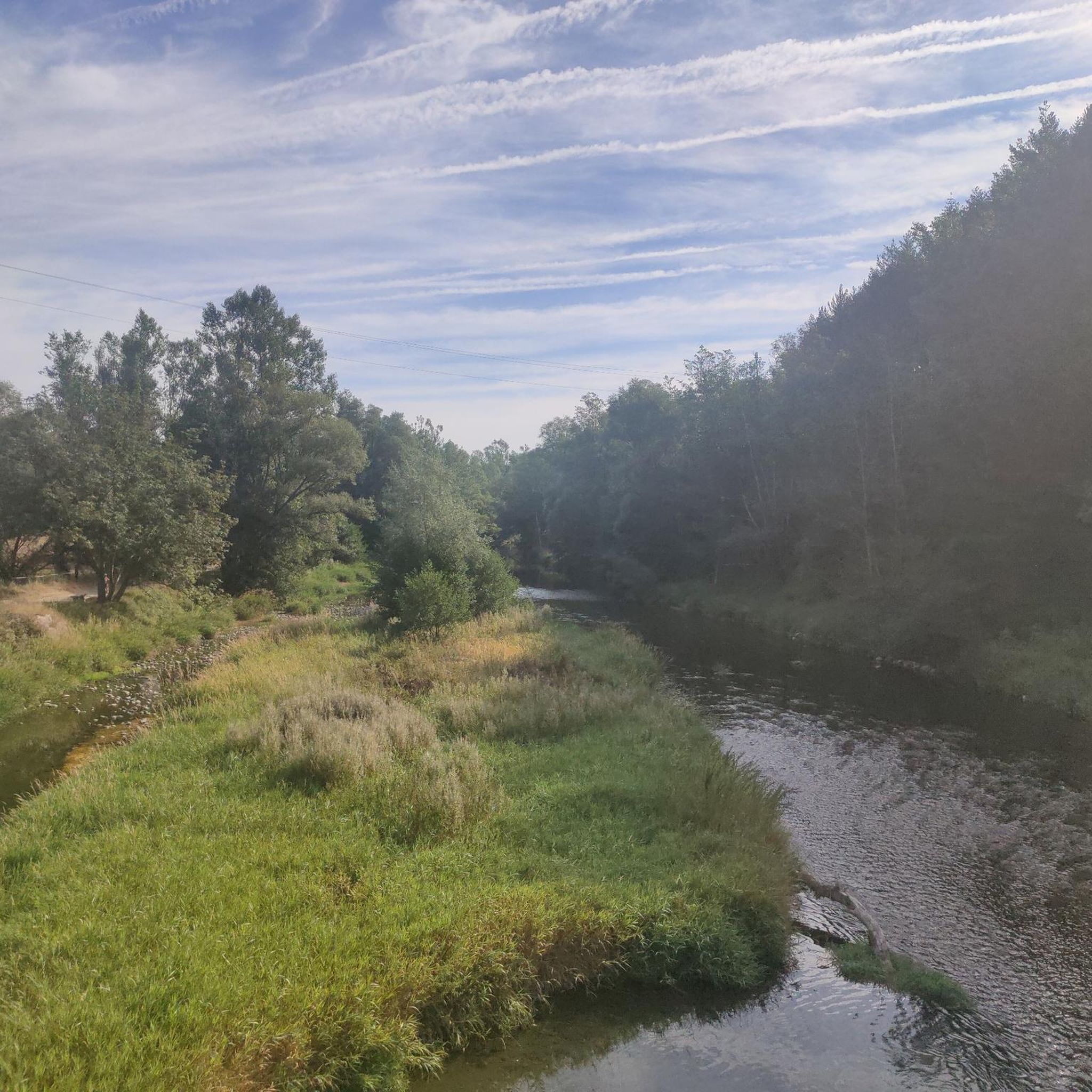
Hiking around Prats I Sansor
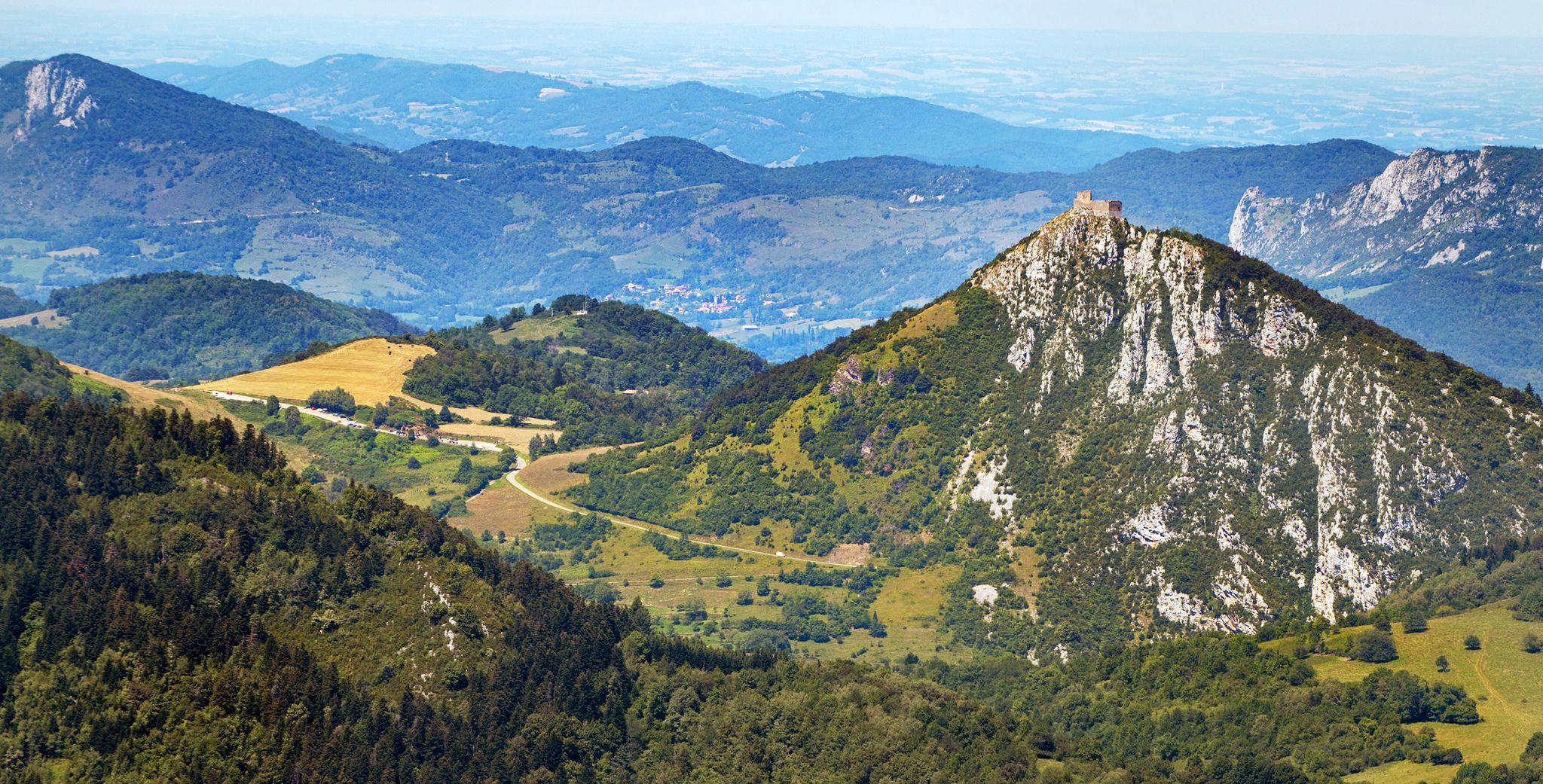
Cathar Route from Catalonia to France – Bons Homes Path (GR 107)
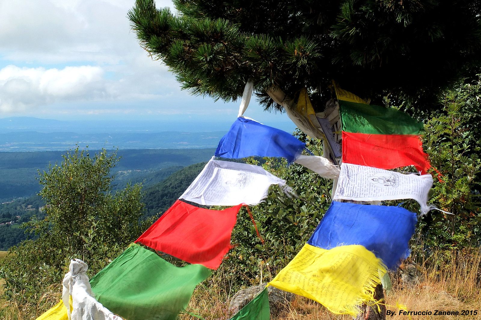
The symbol of Nepal in the Pyrenees – Cavalls del Vent
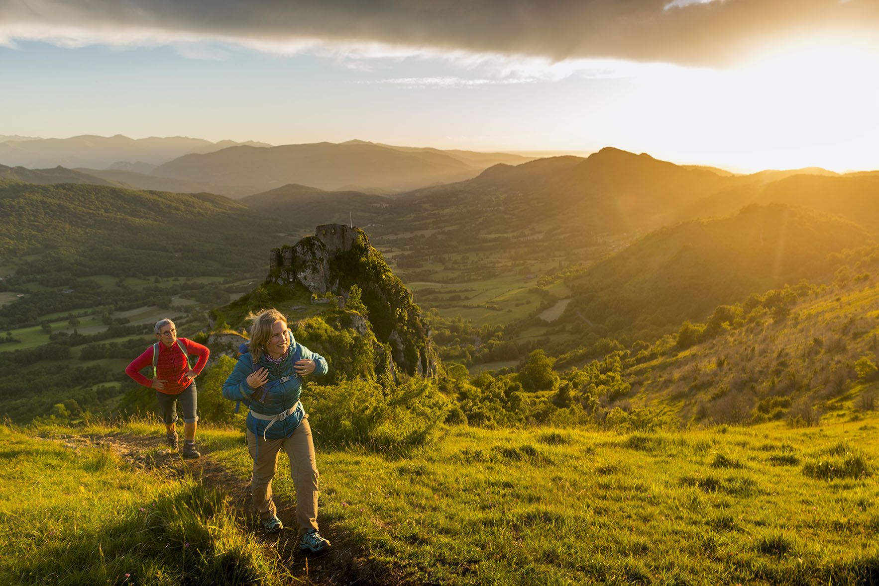
The chemin des Bonshommes — a journey between France and Spain
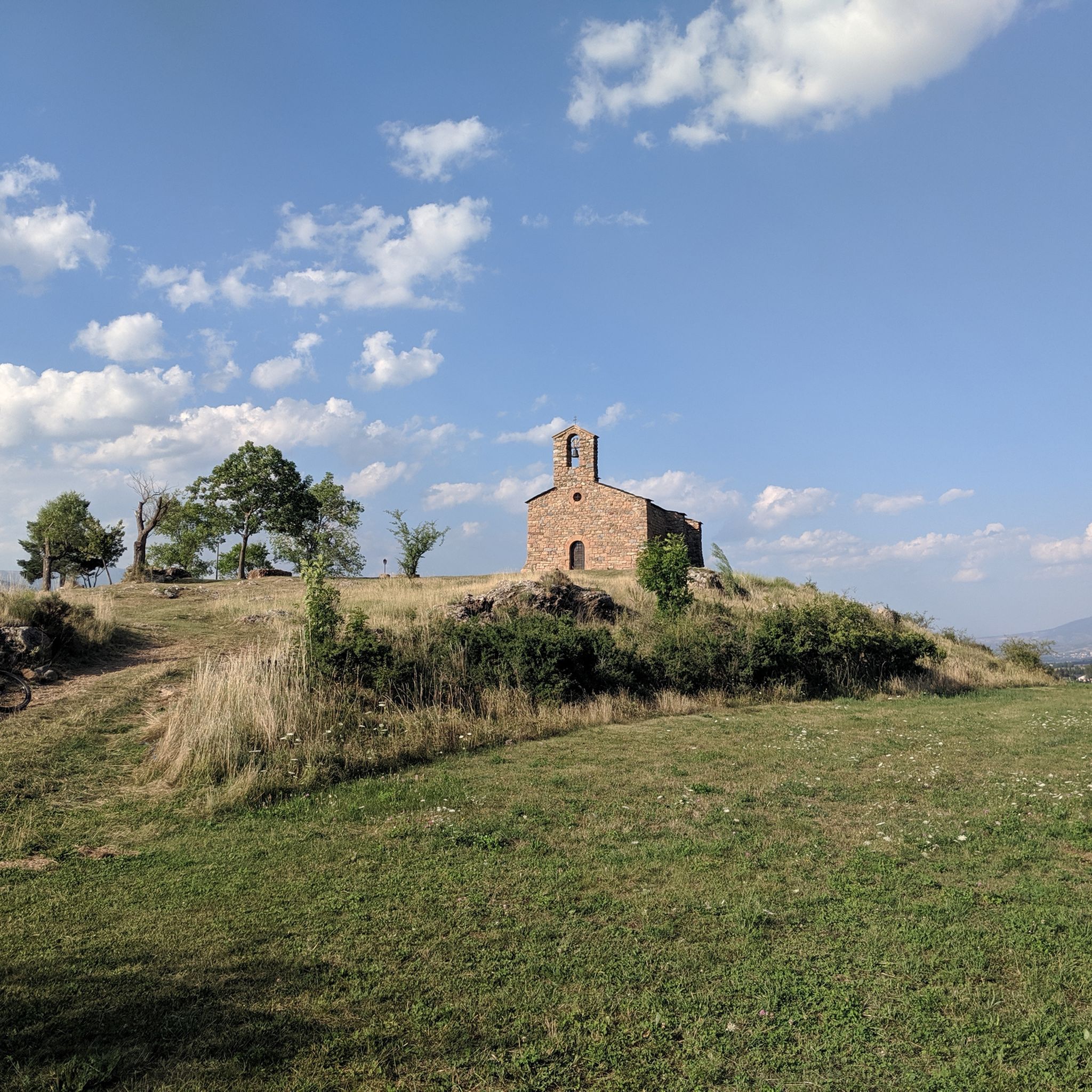
MTB Trails around Cerdanya
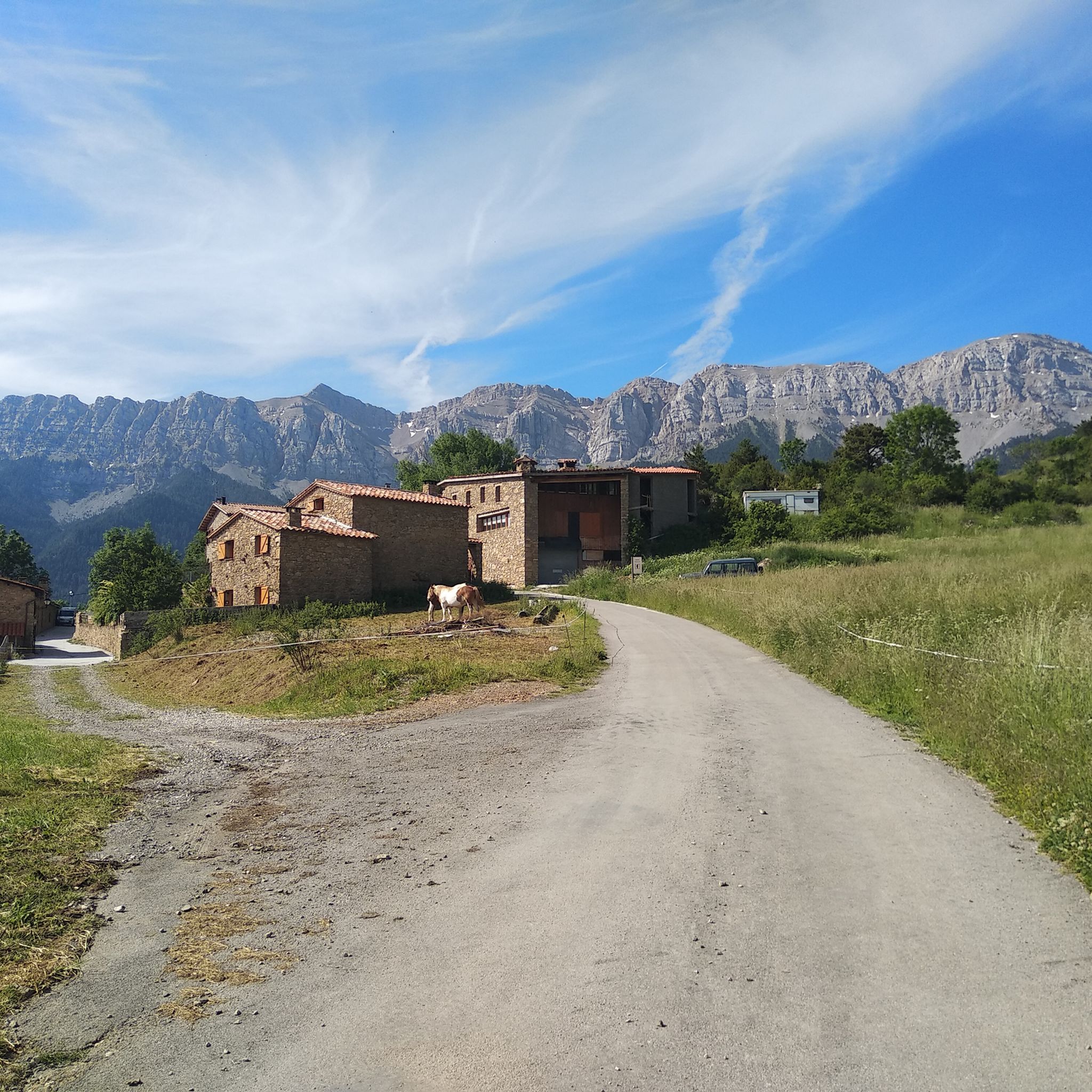
Road Cycling Routes around Cerdanya
Other adventures around Cerdanya


Tips from the Community

¿Cómo es la pista forestal? Ancho y firme: Es una pista no asfaltada de tierra y piedra. La vía transcurre principalmente entre pino negro y bosque, por lo que va resguardada durante la mayor parte del recorrido. Presencia de precipicios: No es una pista colgada sobre acantilados vertiginosos ni de caída en picado constante. No obstante, al ser una carretera de alta montaña, en algunos tramos sí hay laderas expuestas hacia el valle o curvas sin barreras de protección laterales como las que encuentras en una carretera convencional. Cruce de vehículos: Hay tramos donde la pista es algo estrecha y, si te cruzas con otro coche en sentido contrario, hay que maniobrar despacio para apartarse hacia uno de los laterales o apartaderos.
0
0

Pass with beautiful views. It can be accessed by mountain bike or gravel bike from the Cortals de l'Ingla refuge. From this pass, you can also access the Gosolans pass, which connects both sides of the Cadí mountain range.
0
0
Small refuge located in a beautiful place. The climb through the Vall de l'Ingla is quite tough, about 14km and 800m of elevation gain. From the refuge you can go to Coll de Pendis.
0
0
Pass from which you can climb to Prat de Cadí via a 3km trail with about 400m of elevation gain.
0
0
The trail up to Prat de Cadí is quite stony and demanding, it's about 3.5km from Coll de Pallars.
0
0
Spectacular high-altitude meadow below the north face of the Cadí mountain range. The climb from Coll de Pallars is quite demanding but worth the effort.
0
0
Access by private vehicle to Les Pollineres is restricted all year round via both the Lles and Aransa tracks. In Summer (August to early September): A shuttle bus operates from Fornell and the Cap del Rec refuge. Rest of the year: Motorized access is limited to authorized residents. You will have to leave your car at the Nordic ski stations (Lles or Aransa) and walk, which increases the duration and elevation gain of the route. The ideal way is to go up by mountain bike or gravel bike from Martinet.
1
0
La Font de les Pollineres is a recreational area and mountain refuge located at an altitude of 2,100 meters in Lles de Cerdanya (Lleida). It is the main and most accessible starting point for the popular family excursion to Estanys de la Pera, a route of about 4 km (round trip) and 211 m of elevation gain.
0
0
Frequently Asked Questions
How many hiking trails are available in Cerdanya?
Cerdanya offers a wide variety of hiking experiences, with nearly 200 routes available on komoot. These range from easy strolls to challenging mountain ascents, catering to all fitness levels.
What is the general difficulty level of hiking trails in Cerdanya?
The trails in Cerdanya offer a good mix of difficulties. You'll find approximately 40 easy routes, over 100 moderate paths, and around 40 difficult trails, ensuring options for beginners and experienced hikers alike.
Are there any family-friendly hiking routes in Cerdanya?
Yes, Cerdanya has many paths suitable for families. The region's wide, flat valley and numerous glacial lakes offer accessible and enjoyable walks. For example, the area around Orri Lake is known for its beautiful scenery and easier terrain.
Can I hike with my dog in Cerdanya?
Many trails in Cerdanya are dog-friendly, allowing you to explore the stunning Pyrenean landscapes with your canine companion. However, it's always advisable to check local regulations, especially within protected areas like the Cadí-Moixeró Natural Park, and keep your dog on a leash where required.
What natural features or landmarks can I expect to see along the trails?
Cerdanya's landscape is rich with natural beauty. You can encounter spectacular glacial lakes like Orri Lake, explore high mountain passes such as Portella Blanca, and enjoy panoramic views from summits like Tossa Plana de Lles (2,916 m) or Comabona Summit (2,548 m). The Cadí Meadow (1,880 m) is another notable viewpoint.
Are there circular hiking routes in Cerdanya?
Yes, Cerdanya offers several excellent circular routes. For instance, the Moixeró Summit Loop is a popular moderate option, and the Prat de Cadí – Cadí Meadow (1,880 m) loop from Estana provides a scenic circular walk through the Cadí-Moixeró Natural Park.
When is the best time of year to go hiking in Cerdanya?
Cerdanya enjoys a sunny climate with approximately 360 days of sunshine a year, making it suitable for hiking for much of the year. Spring and autumn offer pleasant temperatures and vibrant landscapes. Summer is ideal for higher-altitude routes, while some lower trails can be enjoyed in winter, though snow conditions should always be checked for mountain paths.
What do other hikers enjoy most about hiking in Cerdanya?
The komoot community highly rates Cerdanya, with an average score of 4.6 stars from over 400 reviews. Hikers often praise the region's diverse landscapes, from wide valleys to rugged peaks and sparkling glacial lakes, as well as the variety of routes suitable for all levels.
Are there any long-distance or multi-day hiking options in Cerdanya?
Yes, for those seeking longer adventures, Cerdanya is home to sections of well-known multi-day routes. The 'Cavalls del Vent' is a popular trek connecting eight refuges within the Cadí-Moixeró Natural Park, and the historical 'Cathar Route' (GR 107) also passes through the region.
Is public transport available to reach trailheads in Cerdanya?
While Cerdanya is accessible by car, public transport options to specific trailheads can be limited, especially for more remote mountain routes. Major towns like Puigcerdà have bus and train connections, but for direct access to many hiking starting points, a car is often recommended.
Are there any specific permits required for hiking in Cerdanya?
Generally, no specific permits are required for day hikes in Cerdanya. However, if you plan to undertake multi-day treks, especially those involving overnight stays in mountain refuges or within protected areas like the Cadí-Moixeró Natural Park, it's advisable to check with the park authorities or refuge managers for any booking requirements or specific regulations.
Are there any routes that pass by glacial lakes?
Absolutely. Cerdanya is dotted with beautiful glacial lakes. A great option is the Lakes of Pera and Peaks of Sirvent, Perafita and Monturull route, which navigates through high mountain terrain and passes by several stunning glacial lakes.
Most popular routes around Cerdanya
Most popular attractions around Cerdanya

Get inspired with the komoot mobile app


Didn’t find what you were looking for?
Check out more Hikes throughout Cerdanya below and find the perfect route in your destination.
Explore more
Browse the best Hikes in other regions.
