The best walks and hikes around Llerena
4.6
(97)
576
hikers
46
hikes
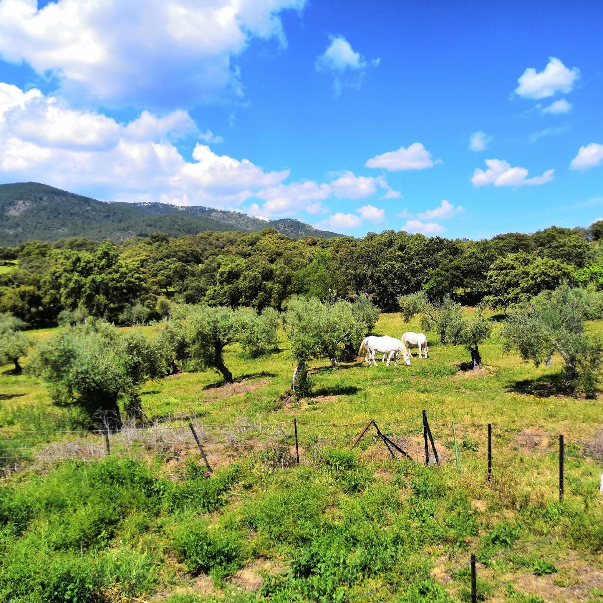
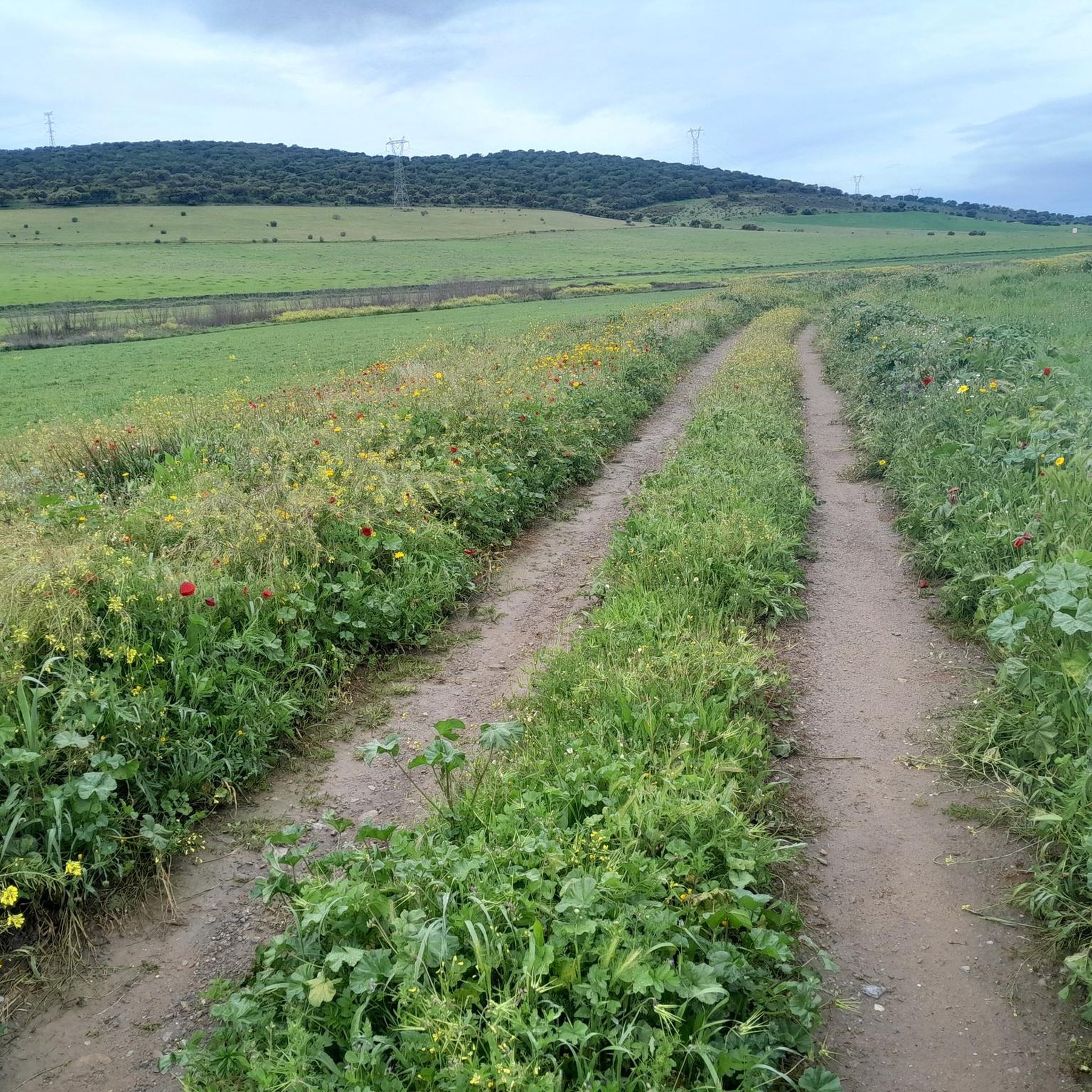
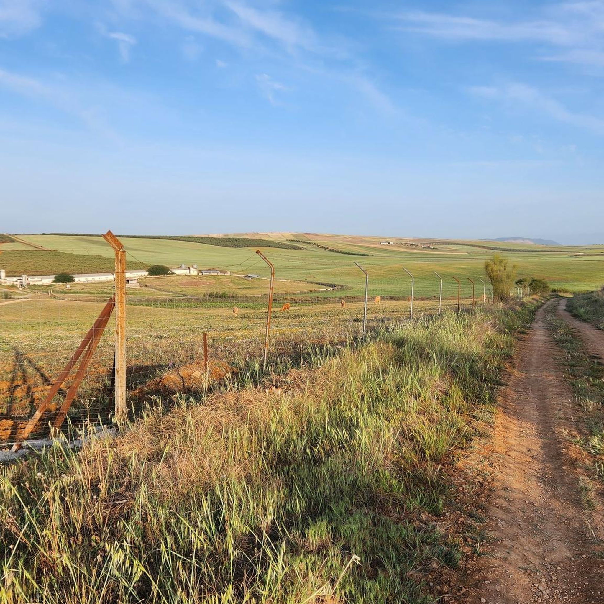
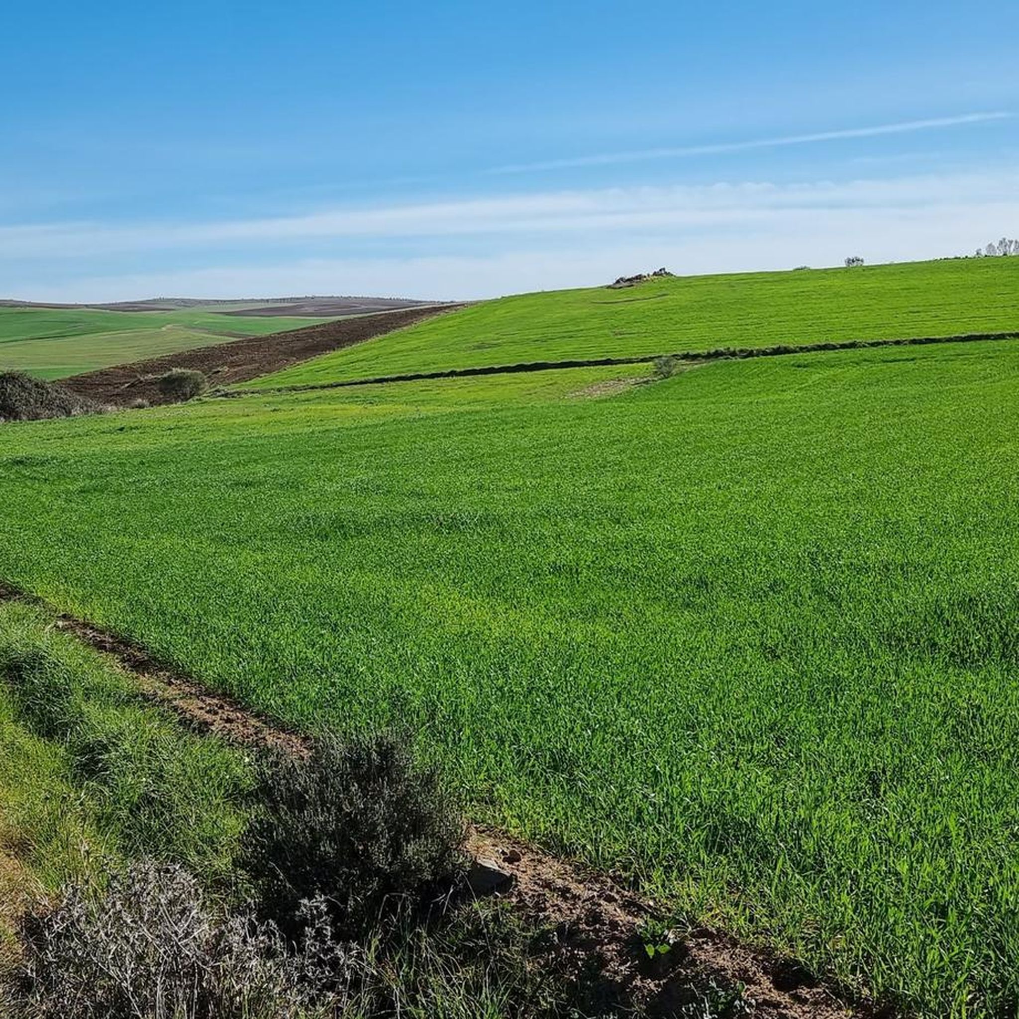
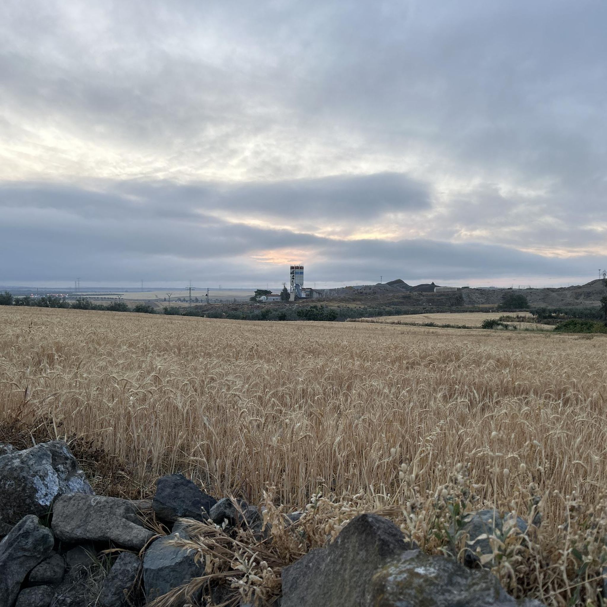
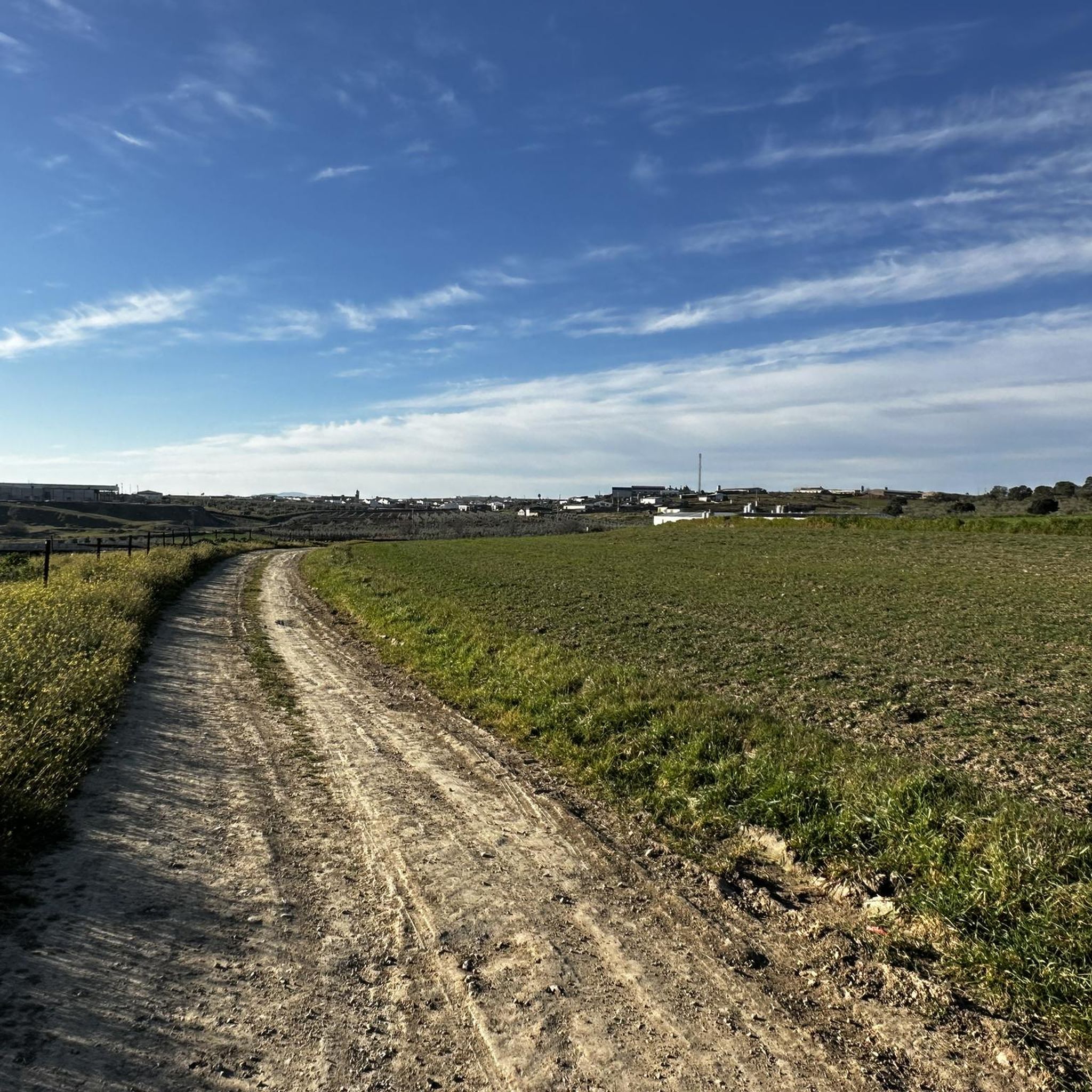
Hiking around Llerena, located in Extremadura, offers diverse landscapes characterized by the unique Dehesa ecosystem, featuring holm oaks and cork trees. The region includes several sierras, such as Sierra de San Miguel and Sierra de Tentudía, providing varied terrain from gentle slopes to more challenging ascents. Ancient Roman roads, like sections of the Vía de la Plata, also form part of the extensive trail network. This area presents a blend of natural beauty and historical points of interest for hikers.
…Last updated: August 31, 2026
5.0
(2)
8
hikers
8.95km
02:44
300m
300m
Moderate hike. Good fitness required. Easily-accessible paths. Suitable for all skill levels.
5.0
(2)
18
hikers
9.44km
02:45
260m
260m
Hike the moderate 5.9-mile Cerro de San Miguel circular trail from Llerena, gaining 854 feet for panoramic views of the town and region.

Sign up for free
5
hikers
11.0km
03:19
370m
370m
Moderate hike. Good fitness required. Mostly accessible paths. Sure-footedness required.
5.0
(1)
4
hikers
15.4km
04:31
430m
430m
Hike a moderate 9.6-mile circular route from Fuente del Arco to the historic Hermitage of the Virgin of Ara, gaining 1404 feet.
1
hikers
12.4km
03:25
220m
220m
Hike the moderate 7.7-mile Calera de León Dehesa and Vía de la Plata Loop, exploring ancient dehesa landscapes and a historic Roman road.
5.10km
01:35
200m
200m
Easy hike. Great for any fitness level. Easily-accessible paths. Suitable for all skill levels.
4.80km
01:32
190m
190m
Hike an easy 3.0-mile (4.8 km) trail exploring the Roman city of Regina Turdulorum and the historic Alcazaba de Reina with panoramic views.
2
hikers
16.5km
04:17
100m
100m
Hike a moderate 10.3-mile (16.5 km) circular trail from Llerena to explore the ancient Roman City Regina Turdulorum and scenic Extremadura l
12.4km
03:24
190m
190m
Moderate hike. Good fitness required. Easily-accessible paths. Suitable for all skill levels.
4.6
(5)
24
hikers
Moderate hike. Good fitness required. Easily-accessible paths. Suitable for all skill levels.
Get access to more routes and recommendations from other explorers.
Sign up for free
Already have an account?
Our route recommendations are based on thousands of hikes, rides, and runs completed by other people on komoot.
Start today with a free account
Your next adventure awaits.
Login or Signup
Tips from the Community

Spectacular views, we found deer, at the end of the road there is a castle, unique photos ✨️😍
0
0

The Sierra de Monesterio is a mountainous region located in the foothills of the Sierra Morena, in the province of Badajoz, Extremadura. This area is known for its natural beauty and rich biodiversity.
3
0
The Torreta de Bienvenida, located on Cerro del Monigote, is a popular destination for hiking lovers in the Extremadura region. This hill offers hiking routes of intermediate difficulty, ideal for enjoying nature and panoramic views.
3
0
The Church of Our Lady of Granada in Llerena is one of the most emblematic monuments of the city. Its construction began in the 14th century and continued until the 18th century, resulting in a mix of architectural styles including Gothic-Mudejar, Renaissance and Baroque. The façade combines Baroque and Mudejar elements. The lower level is Baroque, with an entrance door decorated with heraldic shields. The upper level, in the Mudejar style, features galleries of semicircular arches. The church tower is an impressive structure that dominates the square. The first two bodies are from the original Mudejar tower from the 14th century, while the three upper bodies, in the Renaissance style, were added in the 16th century.
4
0
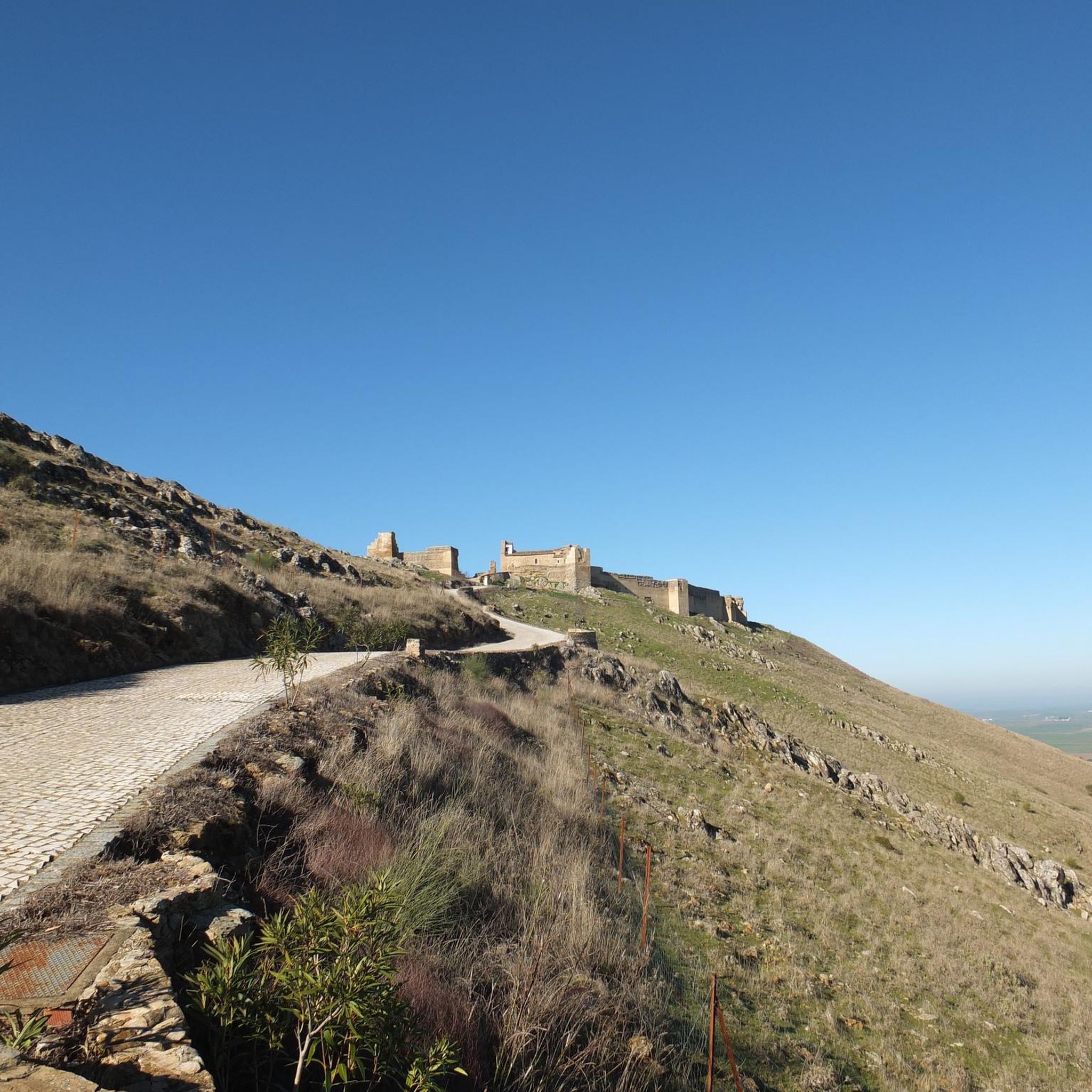
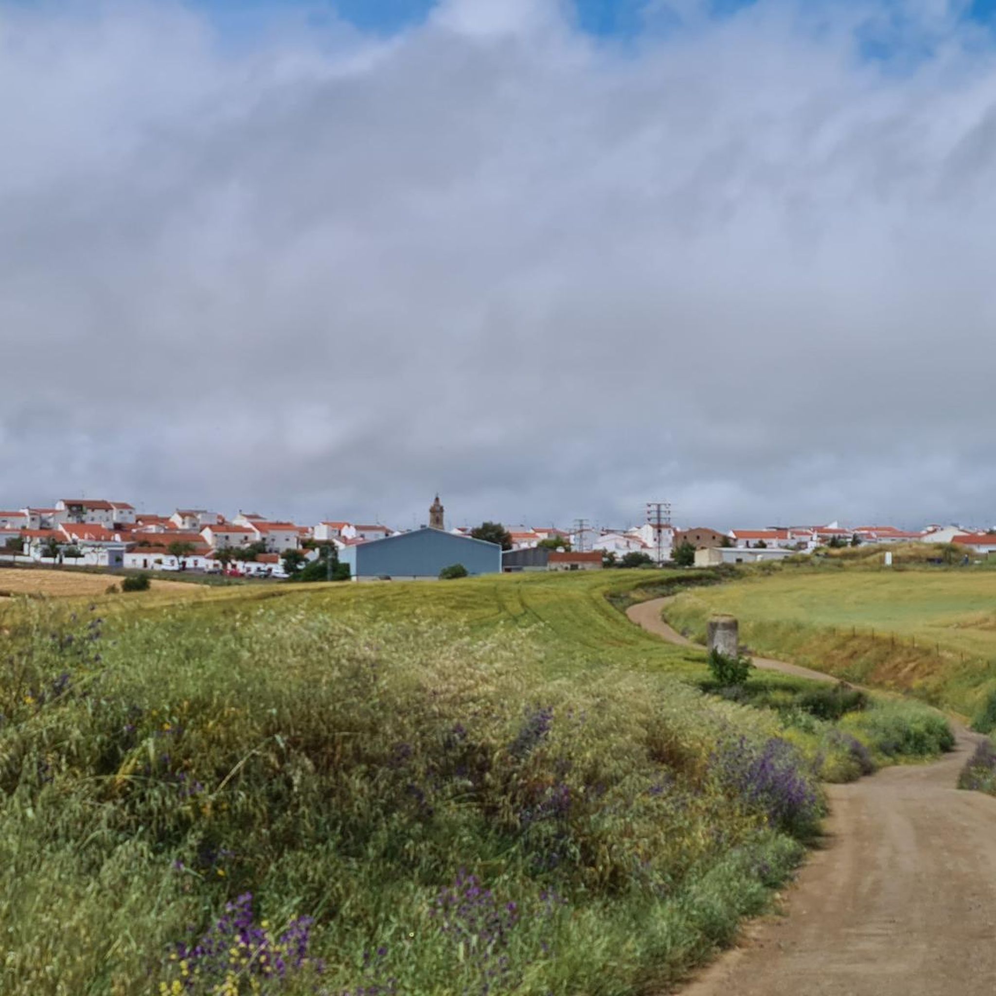
The Mirador del Cerro de San Miguel in Llerena offers spectacular views of the Campiña Sur and the city of Llerena itself. From this elevated point, you can also see the Alcazaba de Reina in the distance.
4
0
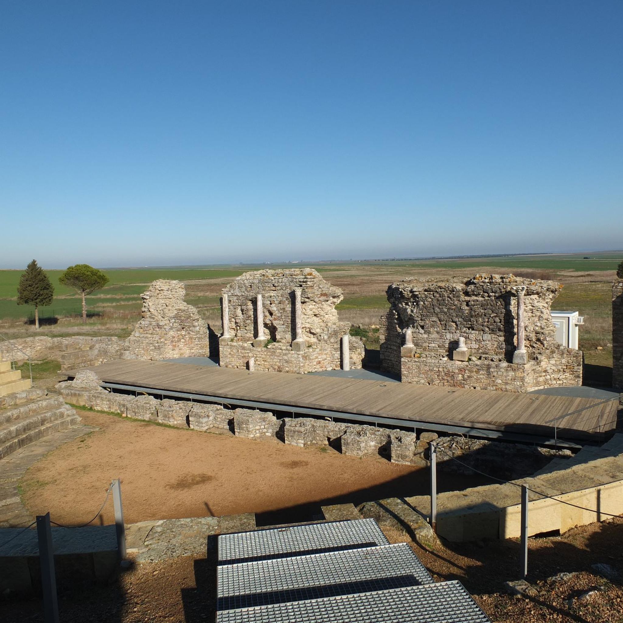
The site has a visitor reception centre opened in 2013, where some of the main objects found in the excavations can be seen, such as the sculpture of the Lady of Regina. The site is open to the public and offers a fascinating experience for lovers of history and archaeology.
4
0
The Roman city of Regina Turdulorum is located in the municipality of Casas de Reina, in the province of Badajoz. This archaeological site is one of the most important in Extremadura and was declared a Site of Cultural Interest in 2012. Regina Turdulorum reached its peak during the Flavian period, in the 1st century AD, when it acquired municipal status. The city was strategically located on the road that connected Augusta Emerita (Mérida) with Hispalis (Seville), which favoured its economic and social development.
4
0
The Alcazaba has its origins in Roman times, when the city of Regina Turdulorum was located in this area. However, the current fortress was built during the Almohad period in the 12th century. Later, in 1246, it was conquered by Ferdinand III and given to the Order of Santiago, becoming the head of an important commandery.
4
0
Frequently Asked Questions
What types of landscapes can I expect to see while hiking around Llerena?
The Llerena region is characterized by its unique Dehesa ecosystem, featuring picturesque holm oaks and cork trees. You'll also encounter rolling sierras like the Sierra de San Miguel and Sierra de Tentudía, offering varied terrain and panoramic views. Ancient Roman roads, such as sections of the Vía de la Plata, also form part of the extensive trail network, blending natural beauty with historical context.
Are there hiking trails suitable for beginners or families with children?
Yes, Llerena offers several easy trails perfect for beginners or families. For example, the Pico Bonales via the Collado de la Majada del Moral is an easy 3.2-mile (5.1 km) route. Another accessible option is the Alcazaba de Reina and Regina Turdulorum Trail, which is 3 miles (4.8 km) and combines natural exploration with historical sights.
What are some notable historical or cultural sites I can visit on a hike?
Many trails in Llerena integrate historical and cultural points of interest. You can explore sections of the ancient Vía de la Plata, or visit the ruins of the Regina Turdulorum Roman City and the historic Alcazaba de Reina, which offer panoramic views. The Monasterio de Tentudía – circular by the Ruta de la Pantanera route leads directly to the historic Monastery of Tentudía, combining natural exploration with a cultural visit.
Are there any circular hiking routes available?
Yes, Llerena has several excellent circular routes. A popular choice is the Monasterio de Tentudía – circular by the Ruta de la Pantanera, a 5.6-mile (9.0 km) trail. Another option is the Alto de Aguafría – circular from the Cruz del Puerto recreational area, which is 6.8 miles (11.0 km) and leads through varied terrain.
What do other hikers enjoy most about the trails in Llerena?
The hiking trails around Llerena are highly rated by the komoot community, with an average score of 4.6 stars from over 40 reviews. Hikers often praise the diverse landscapes, the blend of natural beauty with historical sites, and the well-maintained paths that cater to various ability levels.
Can I find trails with scenic viewpoints in the Llerena area?
Absolutely. The region is known for its panoramic vistas. The Sierra de San Miguel Trail, for instance, offers expansive views of Llerena and the surrounding countryside. Additionally, the Sierra Bienvenida Summit (Torreta de Bienvenida) on Cerro del Monigote is a popular destination for its wide-ranging views of the Extremadura region.
Are there any unique natural features to explore on a hike?
Beyond the Dehesa ecosystem, you can explore the Natural Monument of the Jayona Mine, an old iron mine transformed into a unique geological environment. The various sierras, such as Sierra de Tentudía, also offer distinct natural beauty and diverse flora and fauna.
What is the best time of year to go hiking in Llerena?
The diverse landscapes and well-maintained trails in Llerena make it generally favorable for outdoor activities throughout much of the year. However, spring and autumn typically offer the most comfortable temperatures for hiking, avoiding the peak heat of summer and potential chill of winter.
Are there any longer or more challenging routes for experienced hikers?
Yes, for those seeking a longer challenge, the Sierra de Fuente del Arco Traverse Trail is a moderate 9.6-mile (15.4 km) path. Another option is the Castillo de Aguafria loop from Monesterio, a 9.5-mile (15.3 km) moderate route through the Sierra de Monesterio.
What are some nearby attractions or landmarks that can be combined with a hike?
You can combine your hike with visits to several nearby attractions. Consider exploring the Castle of the Towers or the Castillo de las Torres and Dehesa on the Vía de la Plata. The Monastery of Tentudía is also a significant historical site often included in hiking itineraries.
Are there any trails that feature the Dehesa ecosystem prominently?
Yes, the Dehesa is a defining characteristic of the Llerena region. The Calera de León Dehesa and Vía de la Plata Loop is an excellent route that takes you directly through this unique landscape, showcasing its holm oaks and cork trees.
How many hiking routes are available in the Llerena area?
There are over 45 hiking routes available around Llerena, offering a wide variety of options for different skill levels and interests. This includes 10 easy routes, 35 moderate routes, and 1 more challenging trail.
Most popular routes around Llerena
Most popular attractions around Llerena

Get inspired with the komoot mobile app


Didn’t find what you were looking for?
Check out more Hikes throughout Llerena below and find the perfect route in your destination.
Explore more
Browse the best Hikes in other regions.
