The best cycling routes around Logrosan
4.5
(9)
388
riders
25
rides
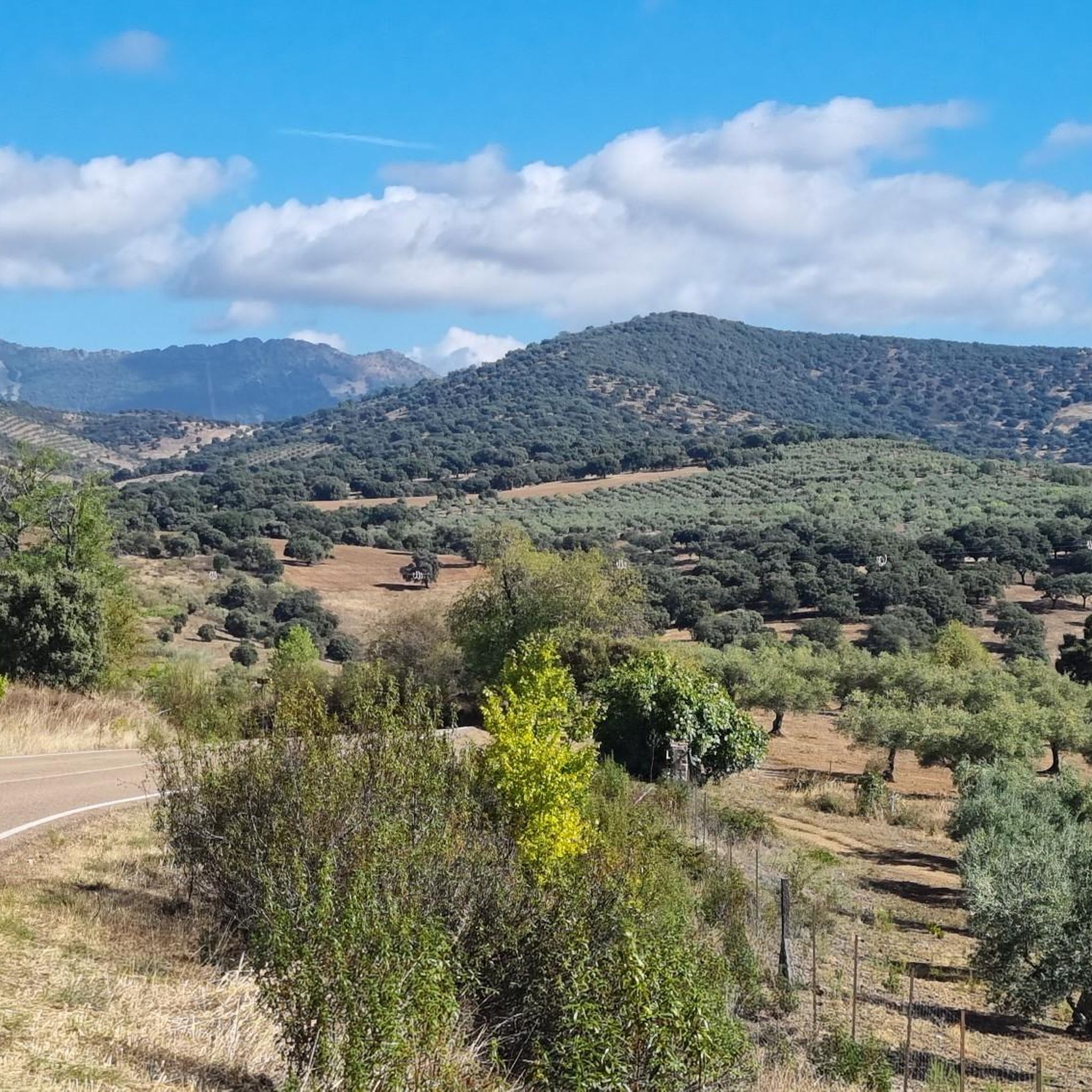
Touring cycling routes around Logrosan are situated in the southeast of Cáceres province, Extremadura, Spain, within the UNESCO Global Geopark Villuercas-Ibores-Jara. The region features diverse terrain, including holm oak forests, the Guadarranque Valley, and mountain ranges such as Altamira, Sierra del Pinyar, and Sierra de Guadalupe. This geological and natural landscape offers varied conditions for touring cyclists.
Best touring cycling routes around Logrosan
- The most popular touring cycling route is Castañar de Ibor from Guadalupe – circular through Real de…
Last updated: July 5, 2026
1
riders
Hard bike ride. Very good fitness required. You may need to push your bike for some segments of this route.
Hard bike ride. Very good fitness required. Mostly paved surfaces. Suitable for all skill levels.

Sign up for free
114
riders
Hard bike ride. Very good fitness required. Mostly paved surfaces. Suitable for all skill levels.
15
riders
60.3km
04:32
1,430m
1,430m
Hard bike ride. Very good fitness required. Mostly paved surfaces. Suitable for all skill levels.
5.0
(1)
12
riders
80.0km
06:07
1,340m
1,340m
Hard bike ride. Very good fitness required. Mostly paved surfaces. Suitable for all skill levels.
11
riders
98.2km
07:26
1,920m
1,920m
Hard bike ride. Very good fitness required. You may need to push your bike for some segments of this route.
8
riders
65.7km
04:38
1,310m
1,310m
Hard bike ride. Very good fitness required. Mostly paved surfaces. Suitable for all skill levels.
5.0
(1)
11
riders
Moderate bike ride. Good fitness required. Mostly paved surfaces. Suitable for all skill levels.
8
riders
46.8km
04:23
900m
900m
Hard bike ride. Very good fitness required. Mostly paved surfaces. Suitable for all skill levels.
7
riders
50.2km
03:27
940m
940m
Hard bike ride. Very good fitness required. Mostly paved surfaces. Suitable for all skill levels.
Get access to more routes and recommendations from other explorers.
Sign up for free
Already have an account?
Our route recommendations are based on thousands of hikes, rides, and runs completed by other people on komoot.
Start today with a free account
Your next adventure awaits.
Login or Signup


Other adventures around Logrosan

Tips from the Community

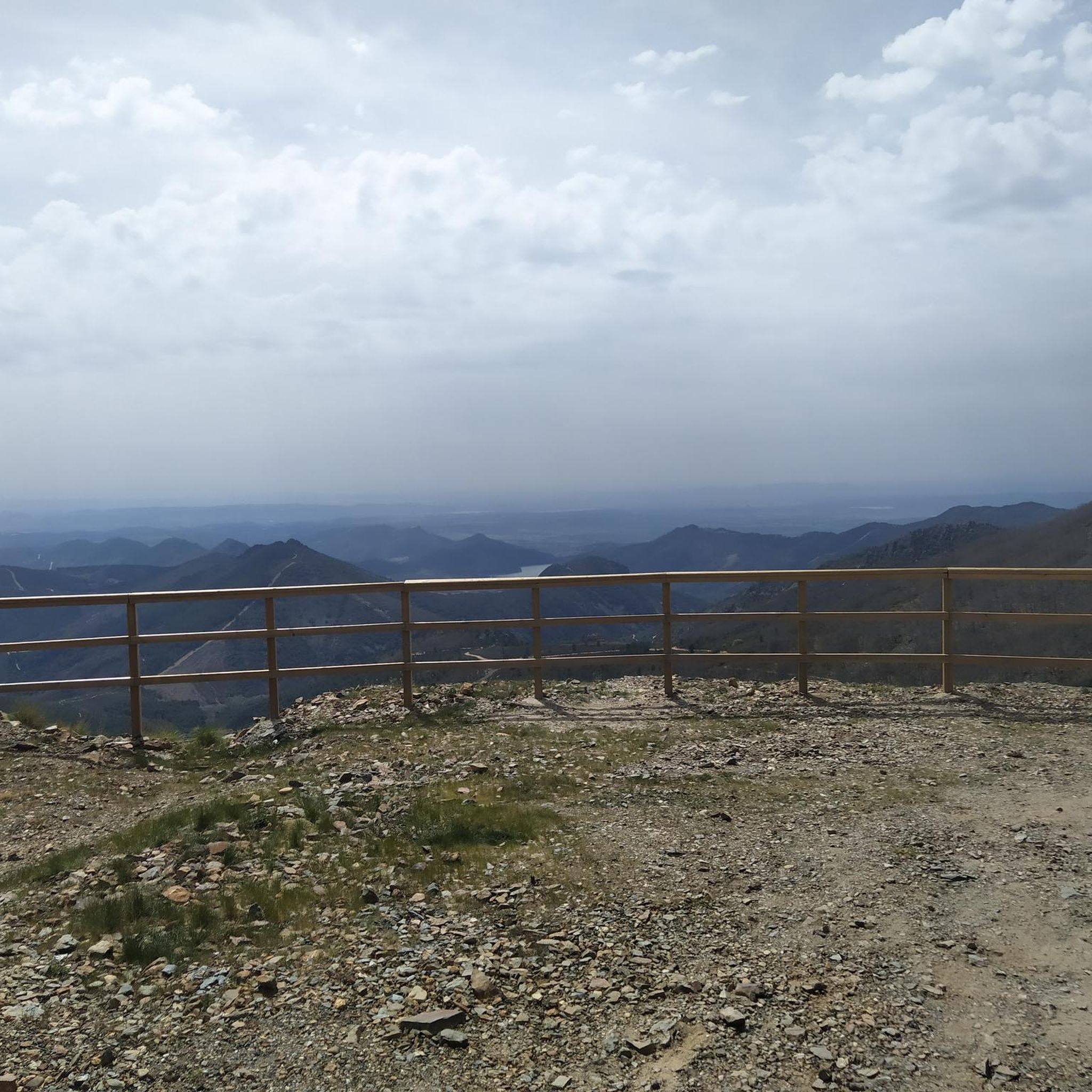
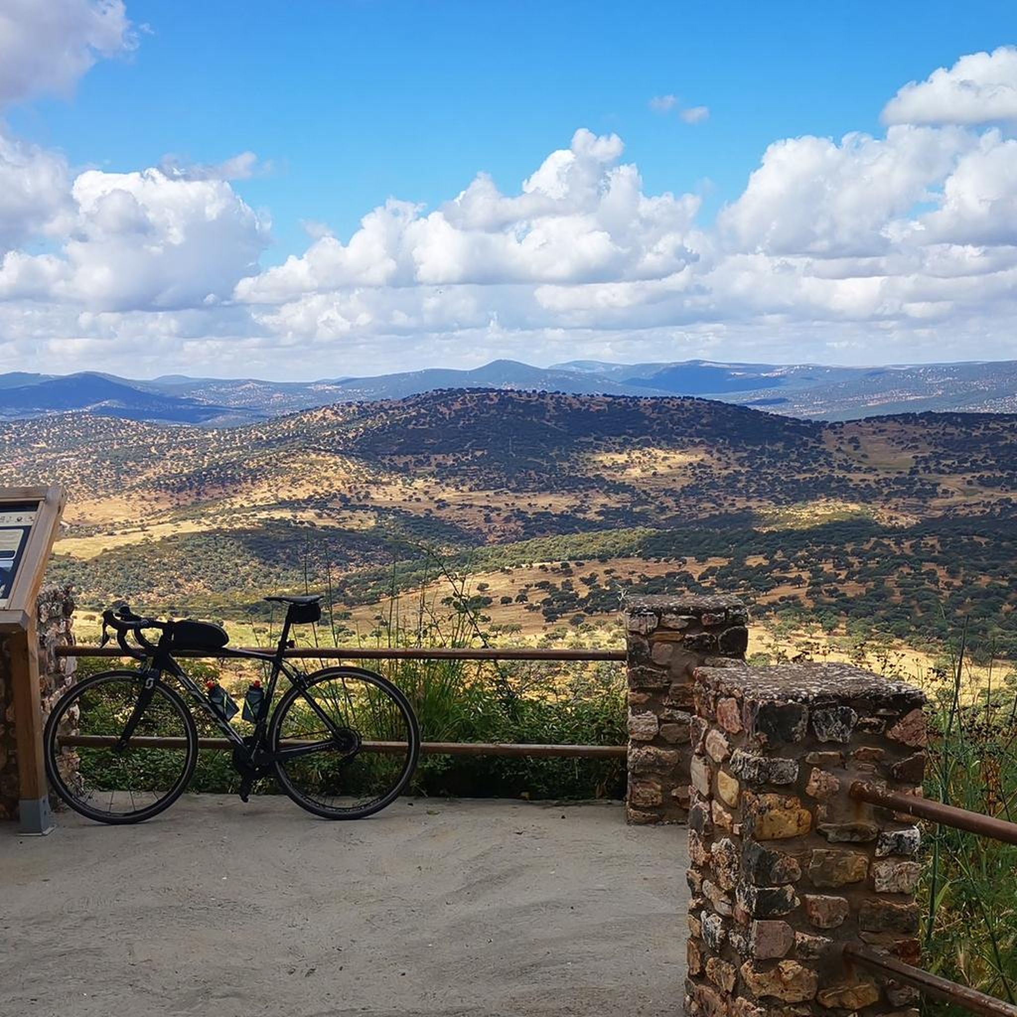
El Alto del Humilladero and Pico Villuercas, near Guadalupe (Cáceres), form one of the most spectacular mountain routes in Extremadura, within the Villuercas‑Ibores‑Jara UNESCO Geopark. It is the highest summit in Extremadura accessible by road.
2
0

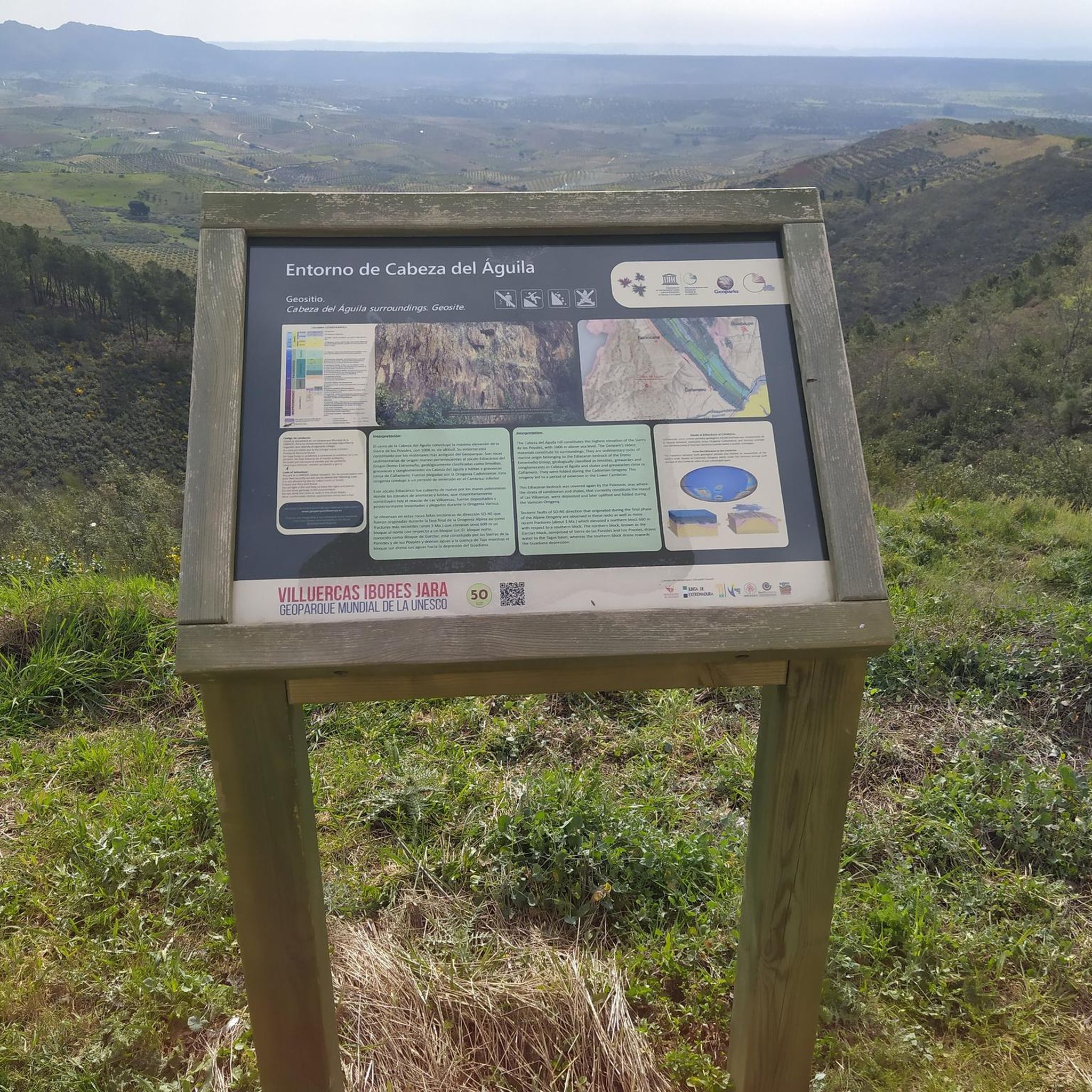
Beautiful viewpoint with a small parking lot, there is a path of approx. 600 meters to the gorge, there are many vultures and swallows.
6
0
Beautiful viewpoint with a small parking lot, there is a path of approx. 600 meters to the gorge. Hundreds of swallows nest in the opposite cave.
4
0
During the twenties and thirties of the last century, a railway route was approved that was intended to connect Badajoz, Madrid, and Huelva, passing through Villanueva de la Serena and Talavera de la Reina. The rugged foothills of the Villuercas proved to be an insurmountable obstacle, leading to the project's abandonment three decades after its inception. As a reminder of that ill-fated project, today we are left with a grandiose viaduct at the gates of Guadalupe, crossing the broken valley of the Guadalupejo from end to end.
5
0
Viewpoint from a small square on the beautiful monastery.
12
1
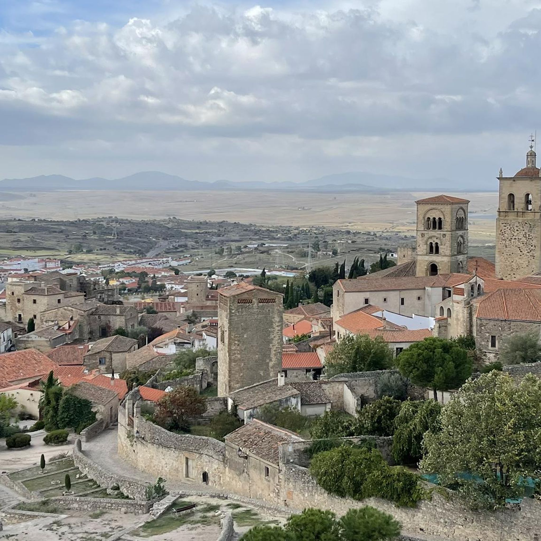
Gives the feeling of being on a film set or somewhere in Mexico. Perhaps not so strange, because the Virgin of Guadalupe is the patroness of Mexico. In the hills, the virgin is said to have been found seven centuries ago. Strictly forbidden to take photos inside the walls, monks walk with the group...
14
1
An impressive piece of civil engineering from the 20th century. With a length of 274 meters and a maximum height of 58 meters, the bridge stands out with its large arches. Originally, the bridge was intended for the railway line, but the project was halted and the bridge was never put into use.
11
1
An impressive feat of civil engineering from the 20th century. With a length of 274 meters and a maximum height of 58 meters, the bridge stands out for its large arches. Originally, the bridge was intended for the railway line, but the project was halted and the bridge was never put into use.
11
1
Frequently Asked Questions
What kind of touring cycling routes can I find around Logrosán?
Logrosán offers a diverse range of touring cycling routes, from easier Vías Verdes to challenging road rides with significant elevation changes. The area is part of the UNESCO Global Geopark Villuercas-Ibores-Jara, providing unique geological landscapes, holm oak forests, and varied mountain terrain.
Are there any family-friendly or easier cycling options in the Logrosán area?
Yes, for those seeking a less strenuous ride, the Vía Verde de la Jara offers an easier cycling option. Another Vía Verde connects Villanueva de la Serena to Logrosán, providing a 53.5 km route that is generally more advanced for mountain biking but can be adapted for touring. While most routes are challenging, there are 2 easy and 5 moderate routes available, making it possible to find suitable options for various fitness levels.
What are some of the most scenic viewpoints or natural features to look out for on a touring cycling route near Logrosán?
The region is rich in natural beauty. You can find impressive views along routes that traverse the Guadarranque Valley or pass through holm oak forests. Specific highlights include the Viewpoint at the Estrecho de Peña Amarilla, and the Birdwatching viewpoint. The area's designation as a UNESCO Global Geopark means you'll encounter remarkable geological formations throughout your ride.
Are there any circular touring cycling routes available around Logrosán?
Yes, many routes in the Logrosán area are designed as circular loops, allowing you to start and finish at the same point. An example is the challenging Guadalupe Viaduct – View of Guadalupe loop from Navezuelas, which covers over 64 km with significant elevation changes.
What kind of attractions or landmarks can I explore along the cycling routes?
Beyond the natural landscapes, you can discover several points of interest. The historic town of Guadalupe, with its World Heritage Site Royal Monastery of Santa María de Guadalupe, is accessible via some routes. Other notable landmarks include the Guadalupe Viaduct and the San Vicente Pass. The region also features unique geosites like Mina Costanaza, an interior mine prepared for tourist visits.
What is the general difficulty level of touring cycling routes in Logrosán?
The touring cycling routes around Logrosán are predominantly challenging, with 22 out of 29 routes rated as 'difficult'. These often involve significant elevation gains, unpaved segments, and can extend for several hours. However, there are also 5 moderate and 2 easy routes for those preferring a less demanding experience.
What makes Logrosán a unique destination for touring cyclists?
Logrosán's unique appeal lies in its location within the UNESCO Global Geopark Villuercas-Ibores-Jara. This designation highlights its exceptional geological heritage, offering cyclists the chance to explore ancient landscapes, diverse ecosystems, and remarkable landforms. The combination of challenging mountain passes, serene holm oak forests, and cultural landmarks like Guadalupe creates a distinctive cycling experience.
Are there any long-distance touring cycling routes for experienced cyclists?
Absolutely. For experienced cyclists seeking a significant challenge, routes like the Humilladero Pass – Arch of Seville loop from Cerro del Molino offer over 82 km with substantial elevation changes. Many routes can extend for more than 5 hours or involve over 3,000 feet of elevation gain, testing endurance and skill.
What do other touring cyclists say about the routes in Logrosán?
The touring cycling routes in Logrosán are highly rated by the komoot community, with an average score of 4.5 stars from over 5 reviews. Cyclists often praise the varied terrain, the stunning natural beauty of the Geopark, and the challenging yet rewarding climbs. Over 285 touring cyclists have used komoot to explore the area, indicating its popularity among outdoor enthusiasts.
Can I find routes that connect Logrosán to other towns or significant sites?
Yes, some routes connect Logrosán to nearby towns and historical sites. For instance, you can find routes that lead towards Guadalupe, home to the Royal Monastery, or to Cañamero. An example is the Church of Cañamero – Cañamero loop from Logrosán, offering a 41 km journey.
Are there opportunities to see wildlife while cycling in Logrosán?
The diverse natural environment of Logrosán, particularly within the Geopark and its holm oak forests, provides opportunities for wildlife spotting. The Birdwatching viewpoint suggests that birdlife is particularly notable. Cyclists might encounter various species native to the Extremaduran landscape, especially in quieter sections of the routes.
What are some of the prominent mountain features I might encounter on a ride?
The region is characterized by several mountain ranges that offer impressive backdrops and varied terrain. You'll find routes traversing the Altamira mountain range, the Sierra del Pinyar, and the Sierra de Guadalupe. The Pico Villuercas Summit is a significant peak in the area, and routes like the Pico Villuercas Summit – Humilladero Pass loop from Ermita del Humilladero take you through mountainous terrain.
Most popular routes around Logrosan
Most popular attractions around Logrosan

Get inspired with the komoot mobile app


Didn’t find what you were looking for?
Check out more Cycling routes throughout Logrosan below and find the perfect route in your destination.
Explore more
Browse the best Cycling routes in other regions.
