The best running trails around Encartaciones
4.8
(73)
961
runners
65
runs
Jogging around Encartaciones offers a diverse range of terrains across the westernmost part of Bizkaia. The region is characterized by an extensive network of paths through valleys and impressive peaks, providing varied gradients for runners. Its landscape features numerous forests and is traversed by rivers like the Kadagua, creating serene settings for running. This natural environment, where mountains and the sea converge, makes Encartaciones a compelling destination for outdoor activities.
Best jogging routes around Encartaciones
- The most popular jogging route…
Last updated: July 7, 2026
4
runners
13.8km
02:08
780m
780m
Hard run. Very good fitness required. Mostly accessible paths. Some sure footedness required.
Hard run. Very good fitness required. Mostly paved surfaces. Suitable for all skill levels.

Sign up for free
5.0
(6)
70
runners
26.1km
03:35
1,040m
1,040m
Hard run. Very good fitness required. Mostly paved surfaces. Suitable for all skill levels.
4.9
(13)
46
runners
19.0km
02:30
730m
730m
Hard run. Very good fitness required. Mostly paved surfaces. Suitable for all skill levels.
56
runners
27.5km
04:06
1,440m
1,440m
Hard run. Very good fitness required. Sure-footedness, sturdy shoes and alpine experience required.
36
runners
41.8km
05:49
1,690m
1,690m
Hard run. Very good fitness required. Sure-footedness, sturdy shoes and alpine experience required.
29
runners
15.4km
02:07
720m
720m
Hard run. Very good fitness required. Mostly paved surfaces. Suitable for all skill levels.
5.0
(6)
29
runners
11.4km
01:37
550m
550m
Hard run. Very good fitness required. Mostly paved surfaces. Suitable for all skill levels.
24
runners
6.27km
00:39
40m
40m
Moderate run. Good fitness required. Mostly paved surfaces. Suitable for all skill levels.
20
runners
13.7km
01:25
80m
80m
Moderate run. Good fitness required. Mostly paved surfaces. Suitable for all skill levels.
Get access to more routes and recommendations from other explorers.
Sign up for free
Already have an account?
Our route recommendations are based on thousands of hikes, rides, and runs completed by other people on komoot.
Start today with a free account
Your next adventure awaits.
Login or Signup
Popular around Encartaciones
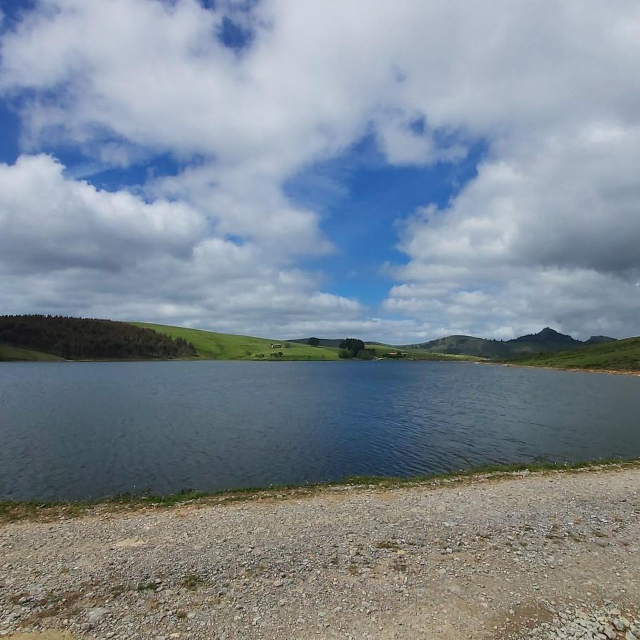
Running Trails in Armañón
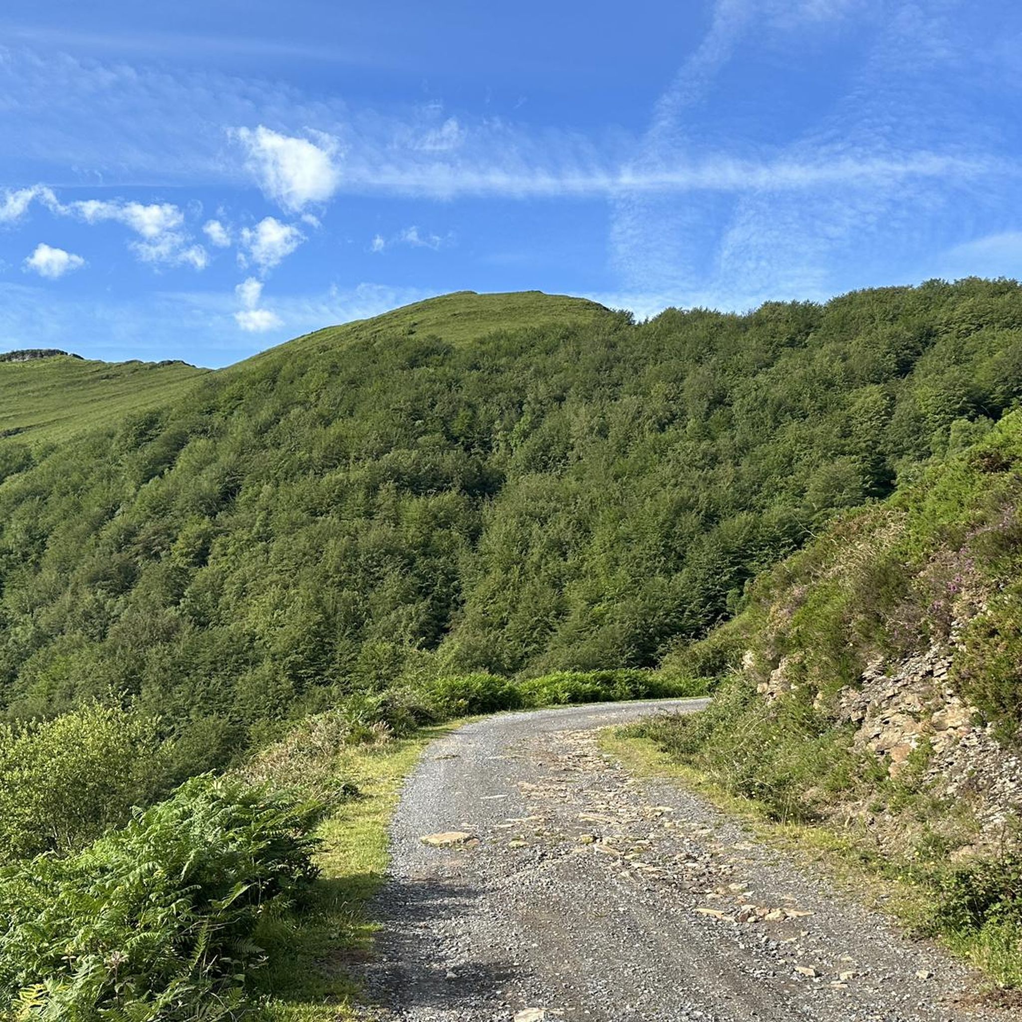
Running Trails in Zec Ordunte Kbe
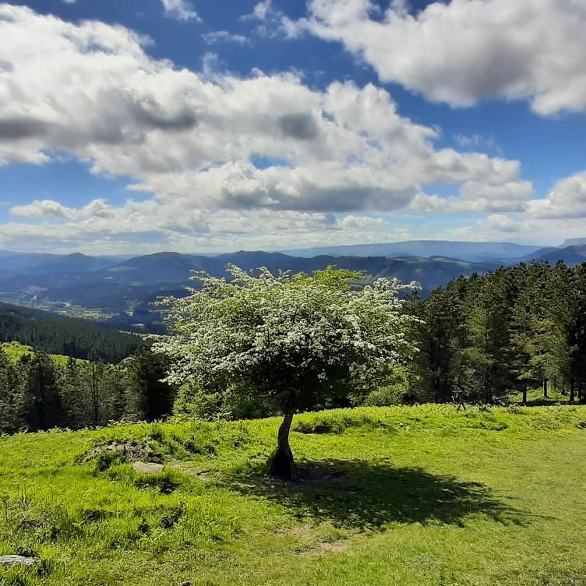
Running Trails around Galdames
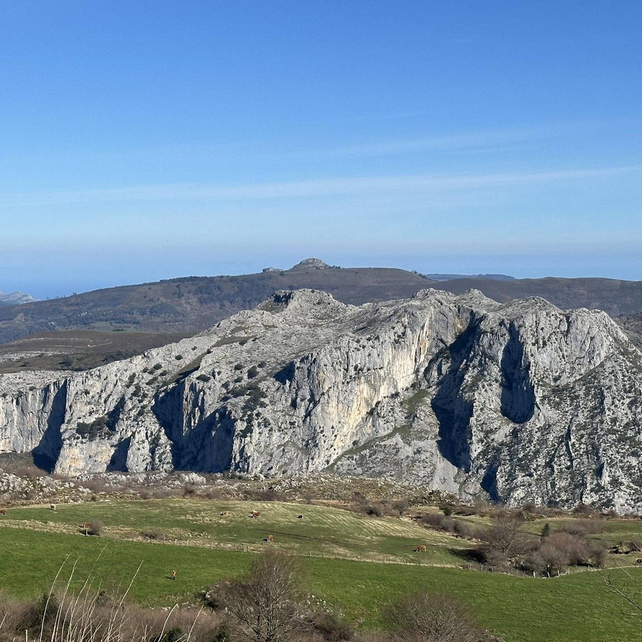
Running Trails around Karrantza Harana/Valle De Carranza
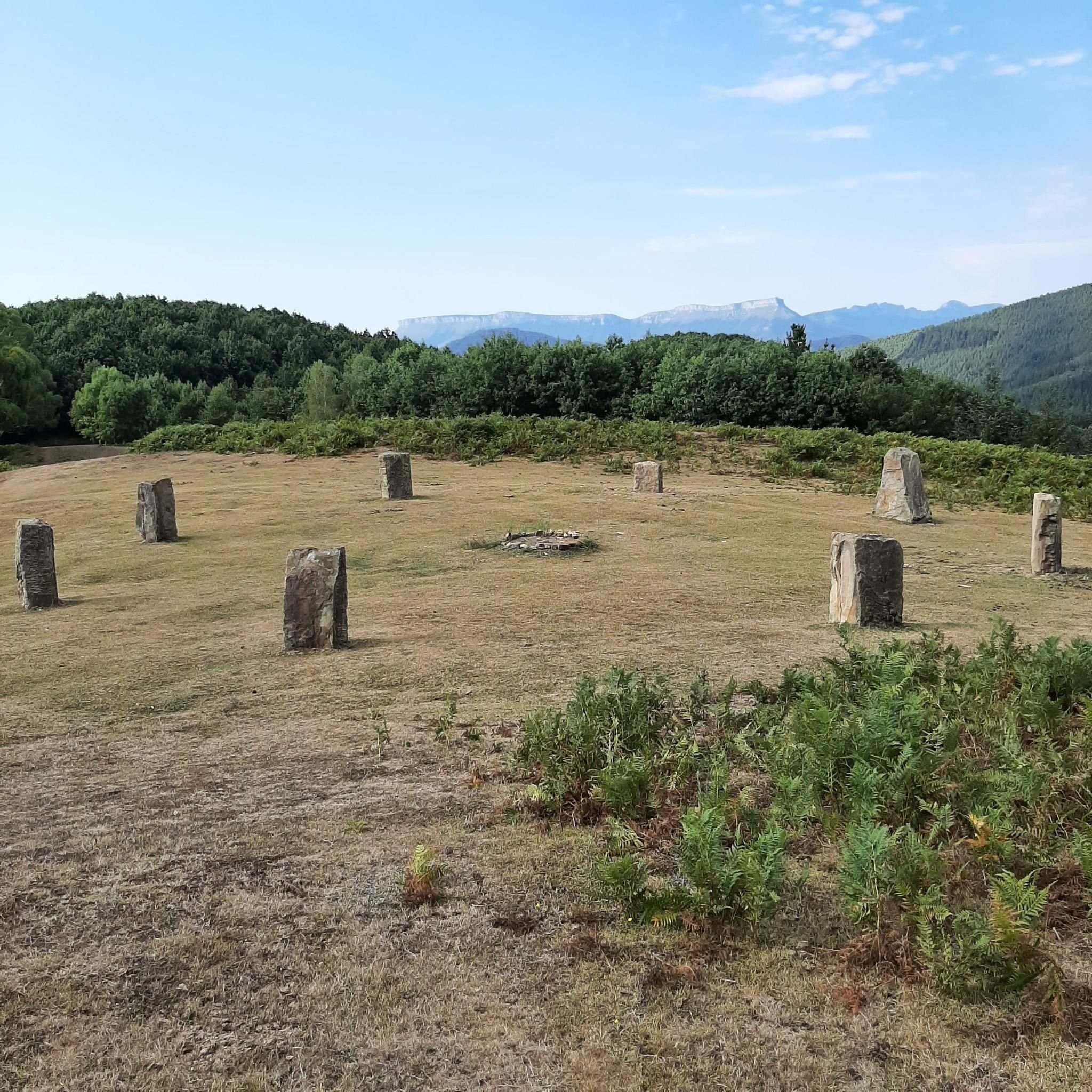
Running Trails around Zalla
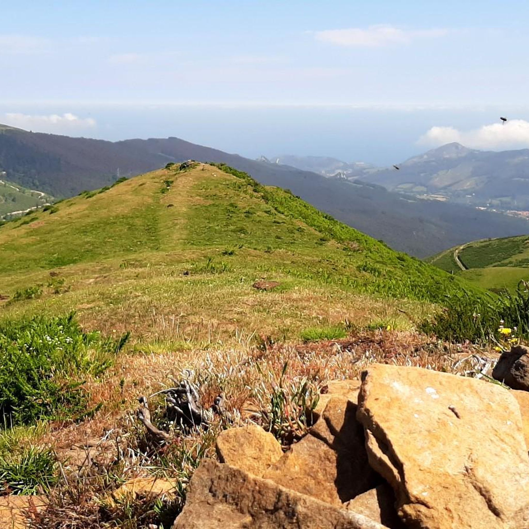
Running Trails around Artzentales
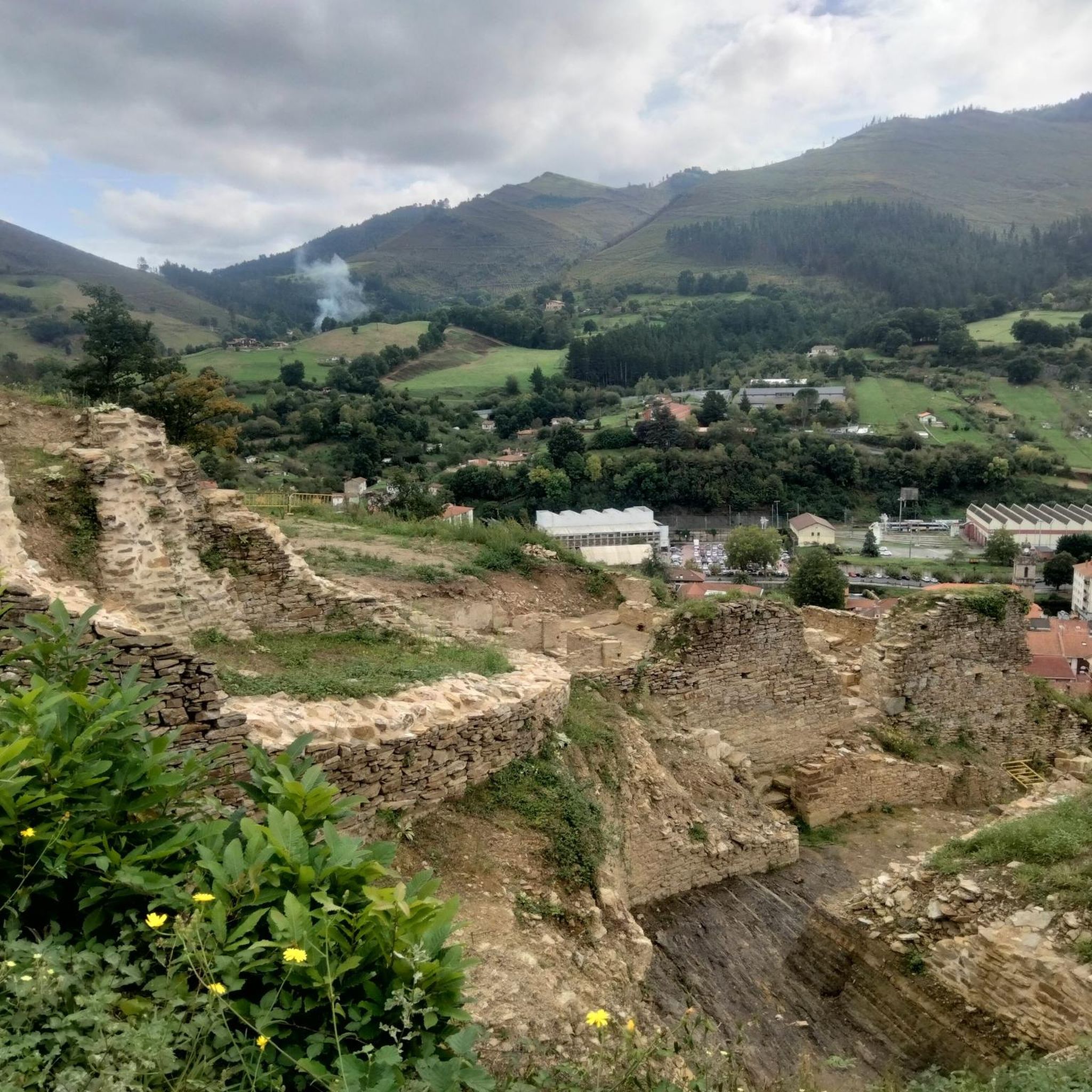
Running Trails around Balmaseda
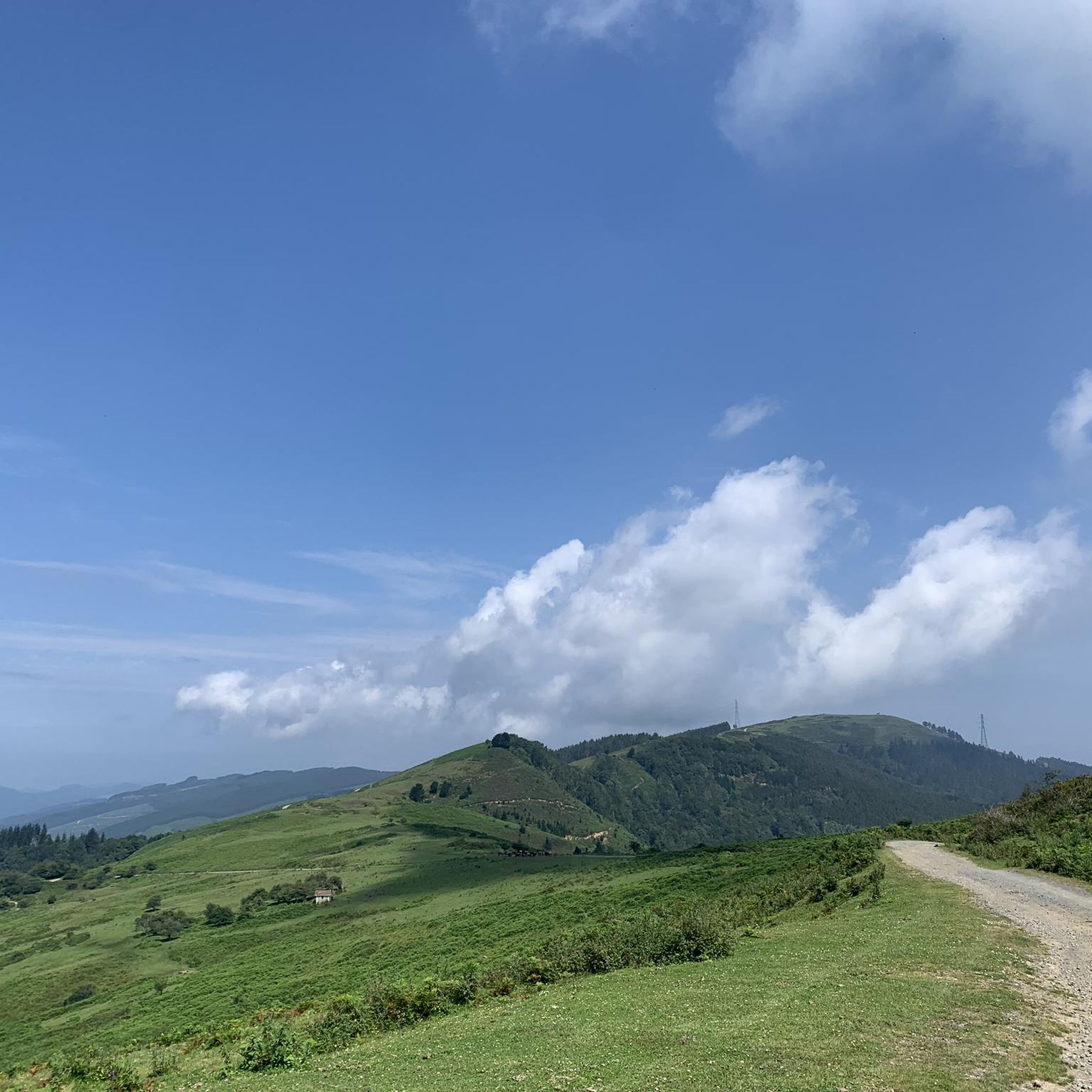
Running Trails around Trucios-Turtzioz
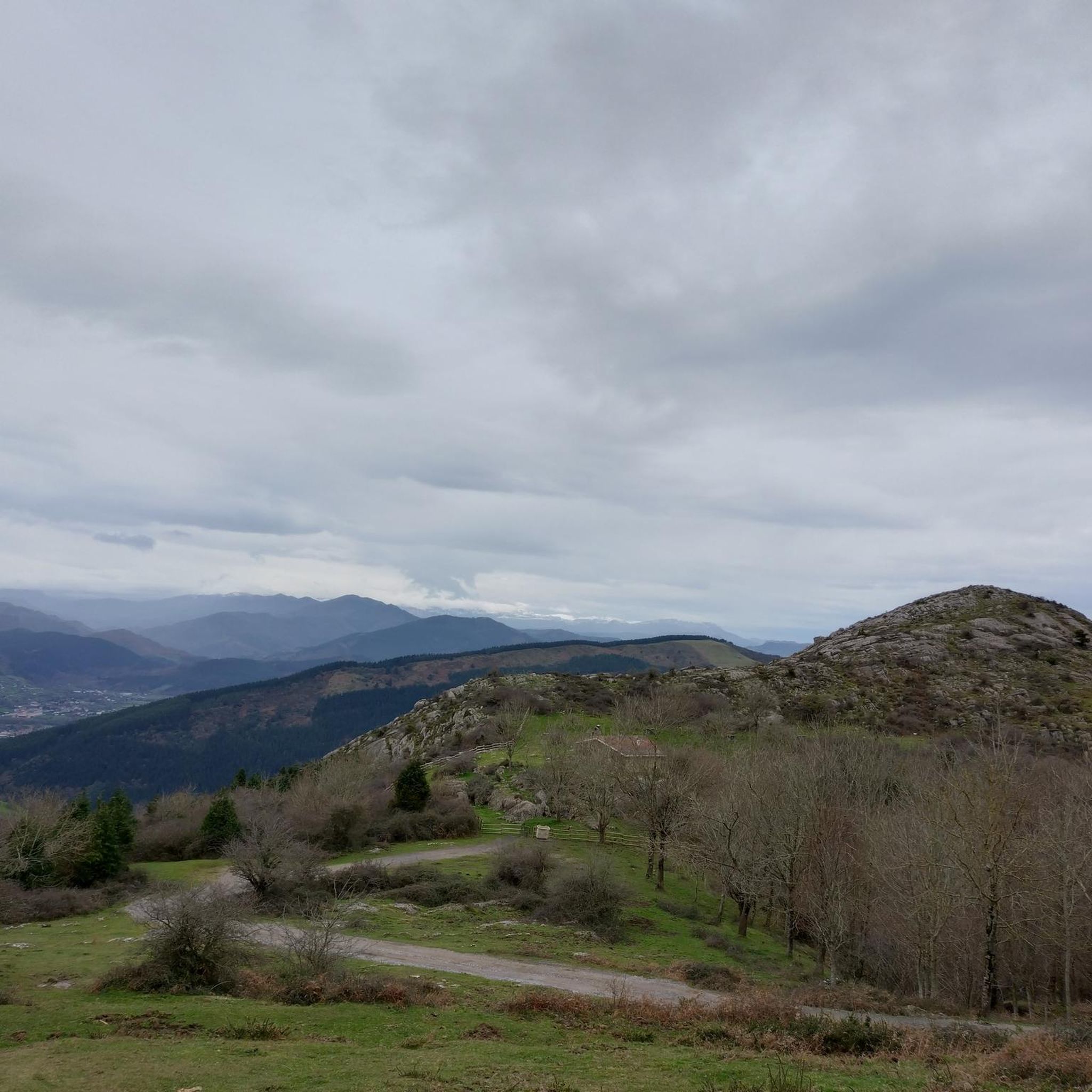
Running Trails around Güeñes
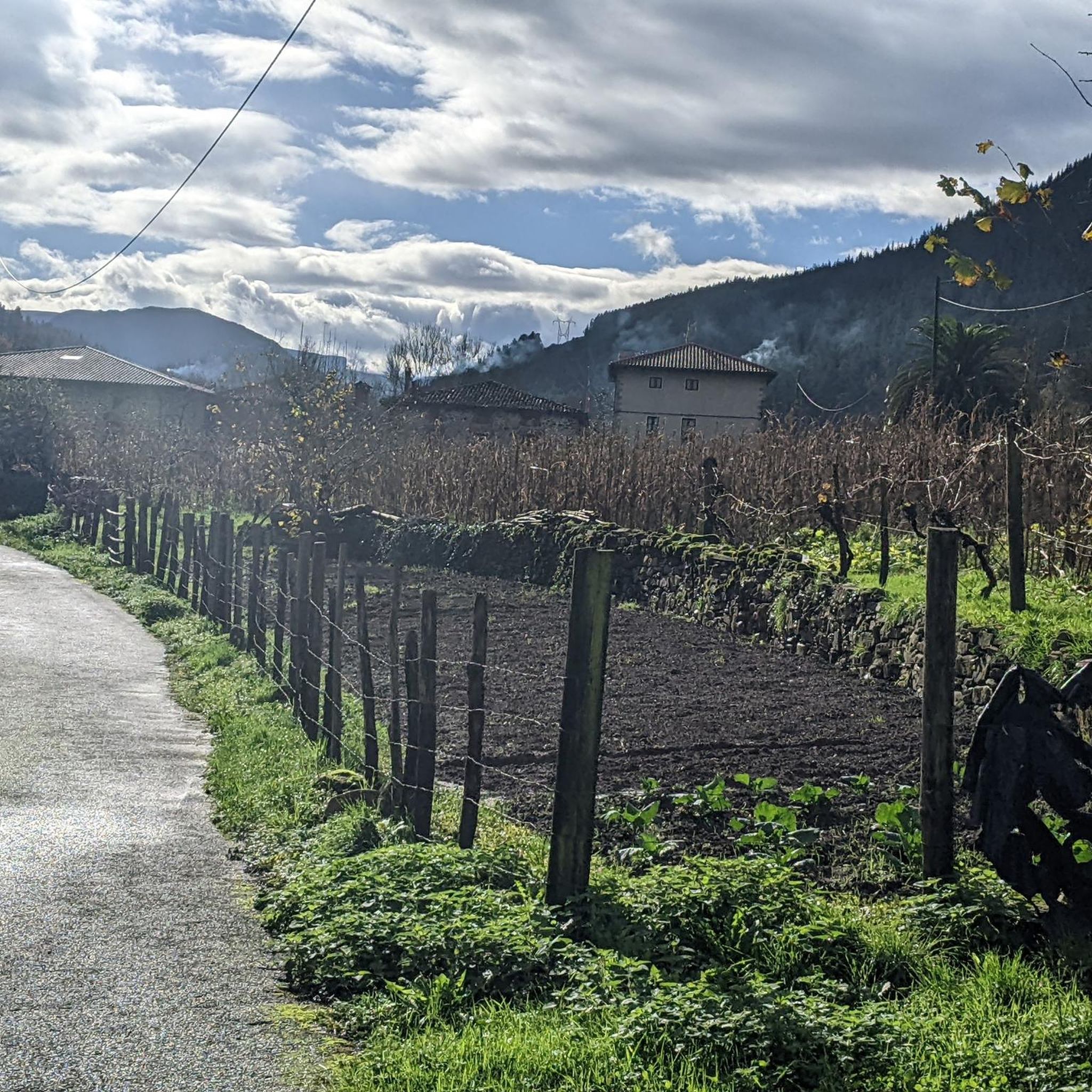
Running Trails around Gordexola
Other adventures around Encartaciones


Tips from the Community

The bridge was built in the 11th century and served as an important crossing point on the old road to Castile. It crosses the Cadagua River and is one of the city's landmarks. The bridge consists of three arches and has a Gothic tower added in the 15th century. This tower was formerly used to collect tolls.
1
0
The church is dedicated to Saint Severinus of Noricum, the patron saint of prisoners. It was built in the 15th century in the Gothic style. The church is located in the main square of Balmaseda.
1
0

Of all the surrounding peaks, this is the most comfortable.
1
0

Robo-leg ramp with inclination of up to 40%
0
0

Impassable route. From the Nocedal dam the path disappears among brambles. There is no way to reach the summit. Shame! The path between Zaramillo and Alonsotegi is also impassable.
0
0


Frequently Asked Questions
How many running routes are available in Encartaciones?
Encartaciones offers a wide variety of jogging and running trails. The komoot community has mapped over 60 routes in the region, catering to different preferences and fitness levels.
What kind of terrain can I expect on the jogging trails in Encartaciones?
The region boasts a diverse landscape, from extensive valleys and serene riverside paths along rivers like the Kadagua, to impressive peaks such as Zalama, Ganekogorta, and Kolitza. You'll find a mix of forest trails, greenways like the Burdinmendi Greenway, and more challenging mountainous terrain, providing varied gradients for all types of runners.
Are there any family-friendly jogging routes in Encartaciones?
Yes, Encartaciones offers several easier paths suitable for families. While many routes involve significant elevation, there are options like the Río Cadagua loop from Zalla, which is a moderate 3.9-mile (6.3 km) path along the river, ideal for a pleasant, less strenuous outing. Greenways also provide accessible and relatively flat paths.
Can I bring my dog on the running trails in Encartaciones?
Many natural areas in Encartaciones are dog-friendly, but it's always recommended to keep your dog on a leash, especially in natural parks like Armañón Natural Park, or when passing through agricultural areas and near livestock. Always respect local regulations and other trail users.
What are some notable landmarks or points of interest I might see while jogging in Encartaciones?
While running, you might encounter historical sites such as the charming medieval streets and bridges of Balmaseda, or the ancient El Pobal Forge. Natural highlights include various summits like Zalama Summit, Eretza Summit (887 m), and Pagero Summit, offering panoramic views. You could also pass by the Old Bridge of Balmaseda or the San Roque Hermitage on Mount Kolitza.
Are there any challenging or long-distance running trails for experienced runners?
Absolutely. Encartaciones is known for its impressive peaks and offers numerous difficult routes with significant elevation gains. For example, the Los Jorrios Trail (PR-BI 120) is an 8.6-mile (13.8 km) difficult route with substantial elevation. Another challenging option is the Ganekogorta Summit – Pagero Summit loop from Zaramillo, which is over 17 miles (27 km) long with considerable ascent.
What do other runners enjoy most about jogging in Encartaciones?
The routes in Encartaciones are highly rated by the komoot community, with an average score of 4.8 stars from over 70 reviews. Runners often praise the region's varied terrain, from serene riverside paths to challenging summit climbs, and the opportunity to combine physical activity with cultural exploration through its natural beauty and historic towns.
Are there circular running routes available in Encartaciones?
Yes, many of the running trails in Encartaciones are circular, allowing you to start and end at the same point. Examples include the Kolitza Summit Shelter loop from Balmaseda, a challenging 11.8-mile (19.0 km) trail, or the Cotobasero y Bernalta desde Aldeacueva trailrunning loop.
Is public transport available to access the running trails?
While specific public transport connections to every trailhead can vary, many towns in Encartaciones, such as Balmaseda and Zalla, are accessible by public transport. From these towns, you can often find routes starting directly or within a short distance. It's advisable to check local bus or train schedules for specific starting points.
Where can I find parking near the jogging routes?
Parking is generally available in the towns and villages where many routes begin, such as Balmaseda, Zalla, and Sodupe. For trails in more remote natural areas, designated parking spots or roadside parking might be available near trailheads. Always look for official parking areas to avoid obstructing local access or damaging natural environments.
Do I need permits to jog in Armañón Natural Park?
Generally, you do not need a specific permit for jogging on established trails within Armañón Natural Park. However, it's always good practice to respect park regulations, stay on marked paths, and be aware of any specific rules regarding group activities or protected areas. For detailed information, you can consult the official Armañón Natural Park website.
What is the best time of year to go jogging in Encartaciones?
Encartaciones offers pleasant running conditions for much of the year. Spring and autumn provide mild temperatures and beautiful scenery, with lush greenery or vibrant fall colors. Summer can be warm, especially at midday, so early morning or late afternoon runs are often preferred. Winters are generally mild, but higher elevation trails might experience colder temperatures or occasional snow.
Are there any routes that offer great viewpoints?
Yes, many routes in Encartaciones lead to impressive peaks that offer panoramic views. Trails ascending mountains like Kolitza, Ganekogorta, and Zalama provide stunning vistas of the surrounding natural landscapes where mountains and the sea converge. The Eretza Summit loop from Sodupe is another route known for its scenic outlooks.
Most popular routes around Encartaciones
Most popular attractions around Encartaciones

Get inspired with the komoot mobile app


Didn’t find what you were looking for?
Check out more Running Trails & Routes throughout Encartaciones below and find the perfect route in your destination.
Explore more
Browse the best Running Trails & Routes in other regions.
