The best walks and hikes around La Sierra Norte
4.2
(585)
2,685
hikers
123
hikes
Hiking around La Sierra Norte offers diverse natural landscapes, including Mexico's largest cloud forest, extensive pine and holm oak forests, and pristine rivers. The region is characterized by varied ecosystems, unique geological formations like karst structures, and numerous trails that lead to panoramic viewpoints. This area provides a rich environment for exploration, with environments ranging from serene woodlands to areas with stepped waterfalls.
Best hiking trails around La Sierra Norte
- The most popular hiking route is Las Laderas Trail, a 5.6 miles (9.0 km) trail that takes 2 hours 39 minutes to complete. This moderate route offers varied terrain through the region's natural beauty.
- Another top favourite among local hikers is Cerro del Hierro Trail, a moderate 5.2 miles (8.3 km) path. This trail explores the unique karst formations of Cerro del Hierro, providing a distinct geological experience.
- Local hikers also love the Guillena Water Route Trail, a 8.5 miles (13.7 km) trail leading through riverine landscapes and lush forests, often completed in about 3 hours 42 minutes.
- Hiking around La Sierra Norte is defined by cloud forests, ancient pine and holm oak forests, and pristine rivers. The network offers options for easy walks, moderate excursions, and more challenging multi-day treks.
- The routes in La Sierra Norte are highly rated by the komoot community with an average score of 4.1 stars from over 340 reviews. More than 1600 hikers have used komoot to explore La Sierra Norte's varied terrain.
Last updated: July 17, 2026
4.7
(48)
187
hikers
9.02km
02:39
250m
250m
Hike the moderate Las Laderas Trail in Parque Natural Sierra Morena de Sevilla, covering 5.6 miles with river views and scenic overlooks.
4.4
(7)
35
hikers
8.31km
02:16
120m
120m
Hike the moderate 5.2-mile Cerro del Hierro Trail through a unique karst landscape and historical mining remnants in Sierra Norte de Sevilla

Sign up for free
4.7
(15)
54
hikers
13.7km
03:43
200m
200m
The Ruta del Agua de Guillena immerses you in a unique riverine and forest landscape, following the course of the Huelva and Cala rivers. It's a sensory experience rich in flora and fauna, where you can observe waterfowl and enjoy panoramic views from the Mirador de la Solana Recio. The trail, mostly on unpaved paths, connects you with nature and the history of Seville's water supply.
For this 13.7-kilometre hiking route, with an elevation gain of 196 metres and an estimated duration of 3 hours and 42 minutes, I recommend visiting in spring or autumn to enjoy pleasant temperatures. The difficulty is moderate, making it accessible for most hikers, including families. Be sure to wear appropriate footwear for the terrain and take advantage of the numerous rest and picnic areas along the way.
What makes the Ruta del Agua de Guillena special is its combination of ecological value and historical importance. Along the path, you'll see aqueducts that are part of Seville's water supply system, as well as the Embalse del Gergal reservoir. It's an opportunity to understand the connection between nature and human infrastructure, offering a different perspective on the region.
4.2
(25)
57
hikers
16.8km
04:39
290m
290m
Hike a moderate 10.4-mile (16.8 km) circular route from Almadén de la Plata to Mirador Cerro del Calvario and Cascada El Chorro.
4.2
(23)
53
hikers
15.1km
04:09
240m
240m
Hike the moderate 9.4-mile Las Tejoneras Loop from Almadén de la Plata, featuring aromatic forests and scenic viewpoints in Sierra Norte de
4.2
(11)
46
hikers
10.9km
02:53
100m
110m
Hike the moderate 6.8-mile Sierra Morena Trail (GR 48) through the Sierra Norte de Sevilla Natural Park, taking under 3 hours.
4.5
(21)
86
hikers
11.2km
03:08
230m
230m
The El Castillo de las Guardas - Las Cañadillas Trail plunges you into the heart of the Sevillian *dehesa*, a landscape dotted with holm oaks and cork oaks that stretches for 11.2 kilometers. Along this moderate hike, you'll cross the Guadiamar River, with its gallery forests, and encounter stone walls that delineate the terrain, offering picturesque views of the Guadalquivir valley. It's a route that connects you with nature and local history.
To plan your visit, keep in mind that the route has an elevation gain of 228 meters and can be completed in about 3 hours and 8 minutes. It's essential to wear appropriate footwear for unpaved trails and carry enough water, especially in summer. It's important to check the trail status, as a 1.39-kilometer section of the Las Cañadillas - Arroyo de la Plata route is currently closed.
This route is notable for its combination of natural beauty and history, passing near El Castillo de las Guardas, a 13th-14th century fortress. The experience of walking through these *dehesas*, where it's common to see horses and pigs, offers an authentic glimpse into the local ecosystem. It's an excellent choice for those seeking an accessible hike with a cultural touch.
4.3
(7)
35
hikers
8.26km
02:15
120m
130m
Hike a moderate 5.1-mile (8.3 km) circular route from Constantina, exploring its castle, chestnut forest, and the Rivera del Huéznar.
4.5
(8)
57
hikers
11.5km
02:59
80m
80m
Hike the El Ronquillo Greenway, a 7.1-mile (11.5 km) moderate route along the La Minilla Reservoir, offering scenic views and easy access.
3.4
(7)
24
hikers
21.3km
05:37
190m
190m
The Ruta del Agua de Guillena is a hiking adventure that immerses you in the natural beauty of Andalusia, combining riverine and forest landscapes. Spanning 21.3 kilometers, the route follows the courses of the Huelva and Cala rivers, offering serene views of the Gergal reservoir, with panoramic viewpoints like the Mirador de la Solana Recio. This trail allows you to appreciate the rich native flora and fauna, perfect for observing waterfowl, and leads you along unpaved paths and old railway lines.
For this challenging route, which will take approximately 5 hours and 36 minutes with an elevation gain of 186 meters, good planning is essential. The best time to hike it is spring or autumn, when the weather is milder and more pleasant for such an extensive walk. The trail features rest and picnic areas, but it's always advisable to carry enough water and provisions for the entire day.
Beyond its natural value, the Ruta del Agua de Guillena has a deep historical connection to Seville's water supply, evidenced by the Carambolo aqueducts you'll see along the way. You'll also encounter landmarks such as the Palacio de Parladé, which adds a touch of historical charm to the journey. The route offers a complete experience, with options for other outdoor activities like swimming or fishing in certain areas.
Get access to more routes and recommendations from other explorers.
Sign up for free
Already have an account?
Our route recommendations are based on thousands of hikes, rides, and runs completed by other people on komoot.
Start today with a free account
Your next adventure awaits.
Login or Signup
Popular around La Sierra Norte
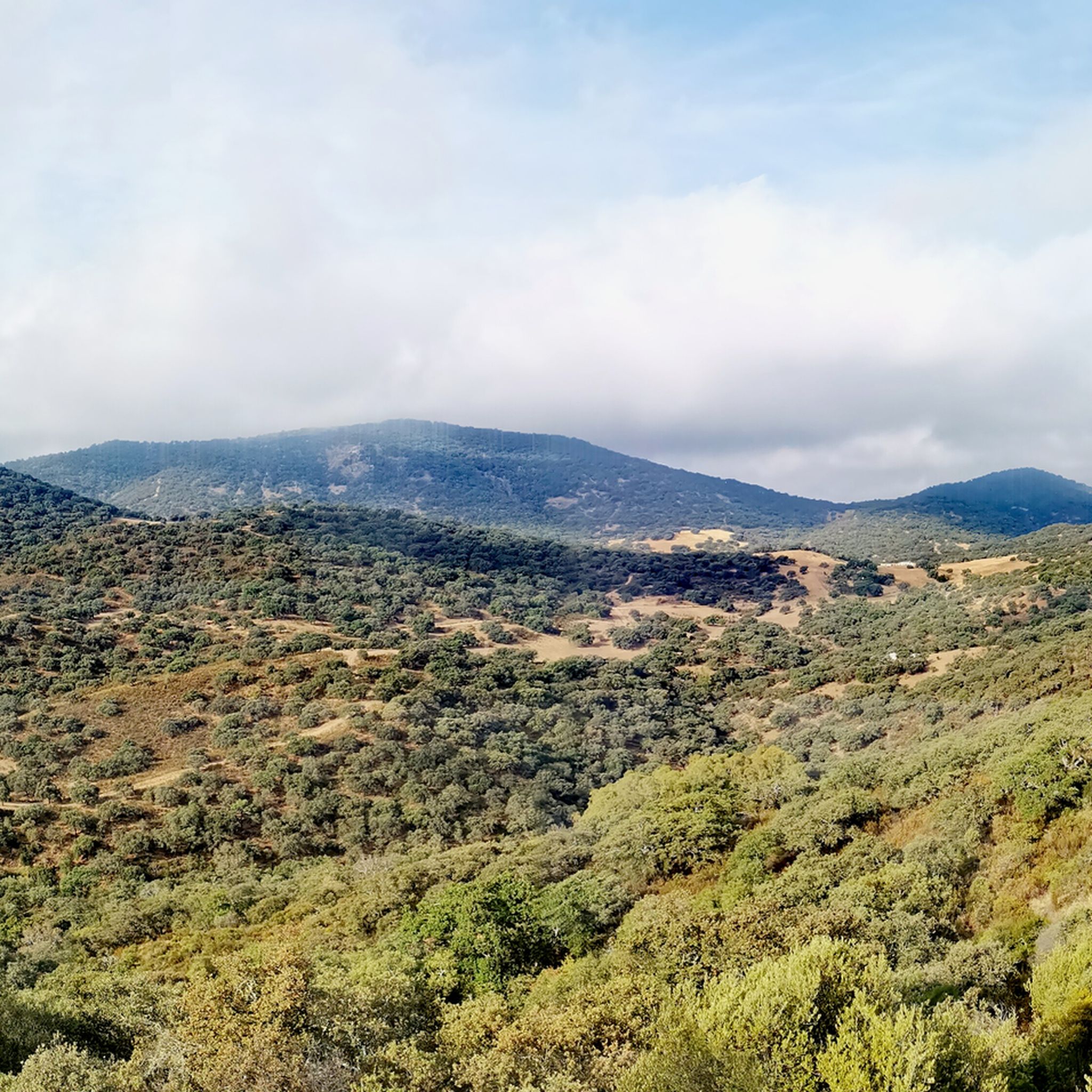
Hiking in Sierra Norte De Sevilla
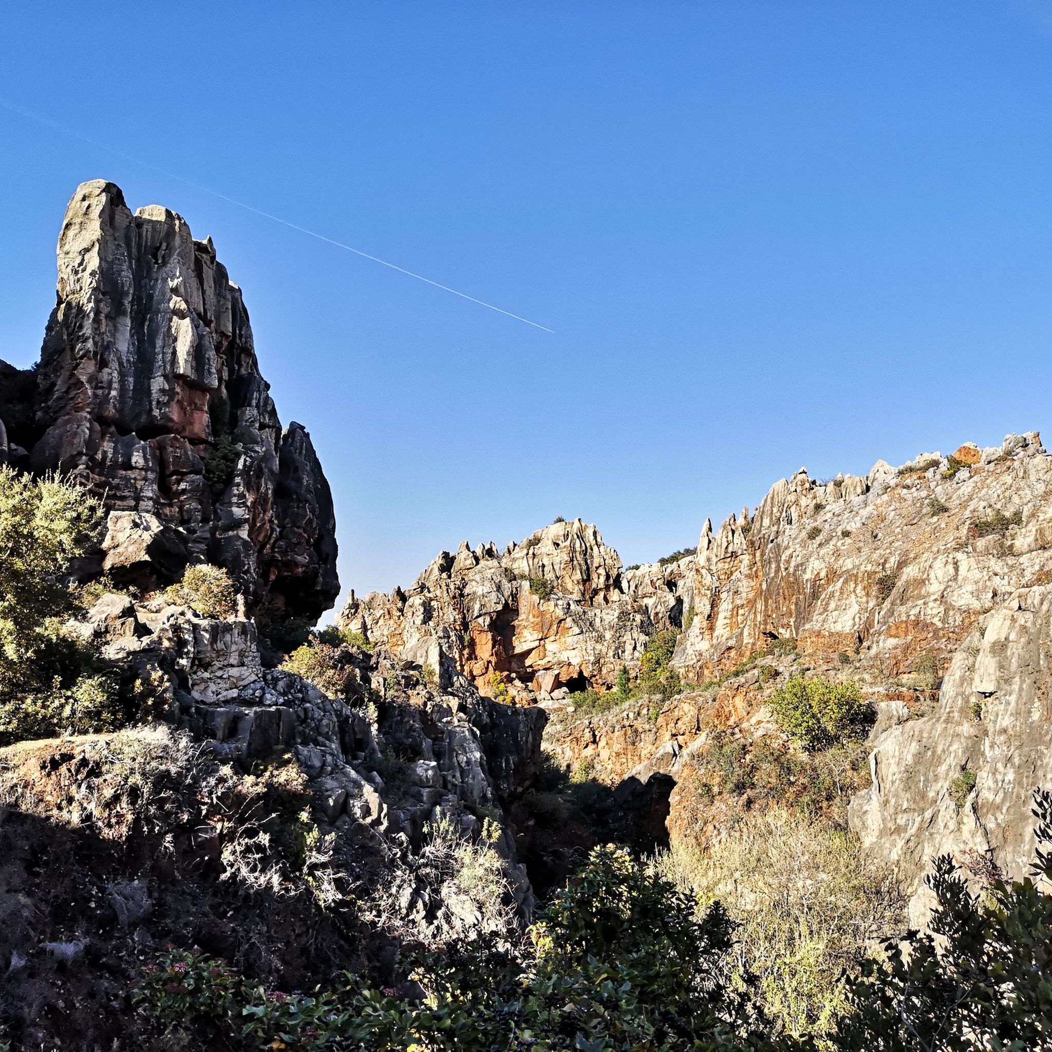
Hiking around National Park Sierra Norte de Sevilla
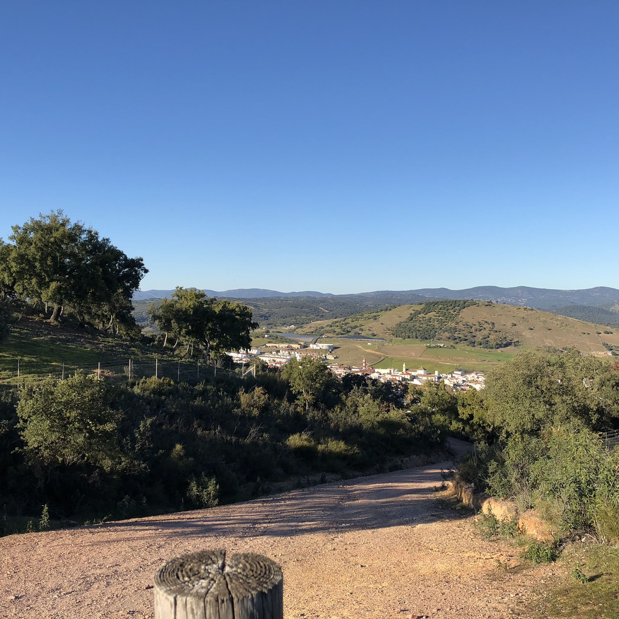
Hiking in Sierra Norte
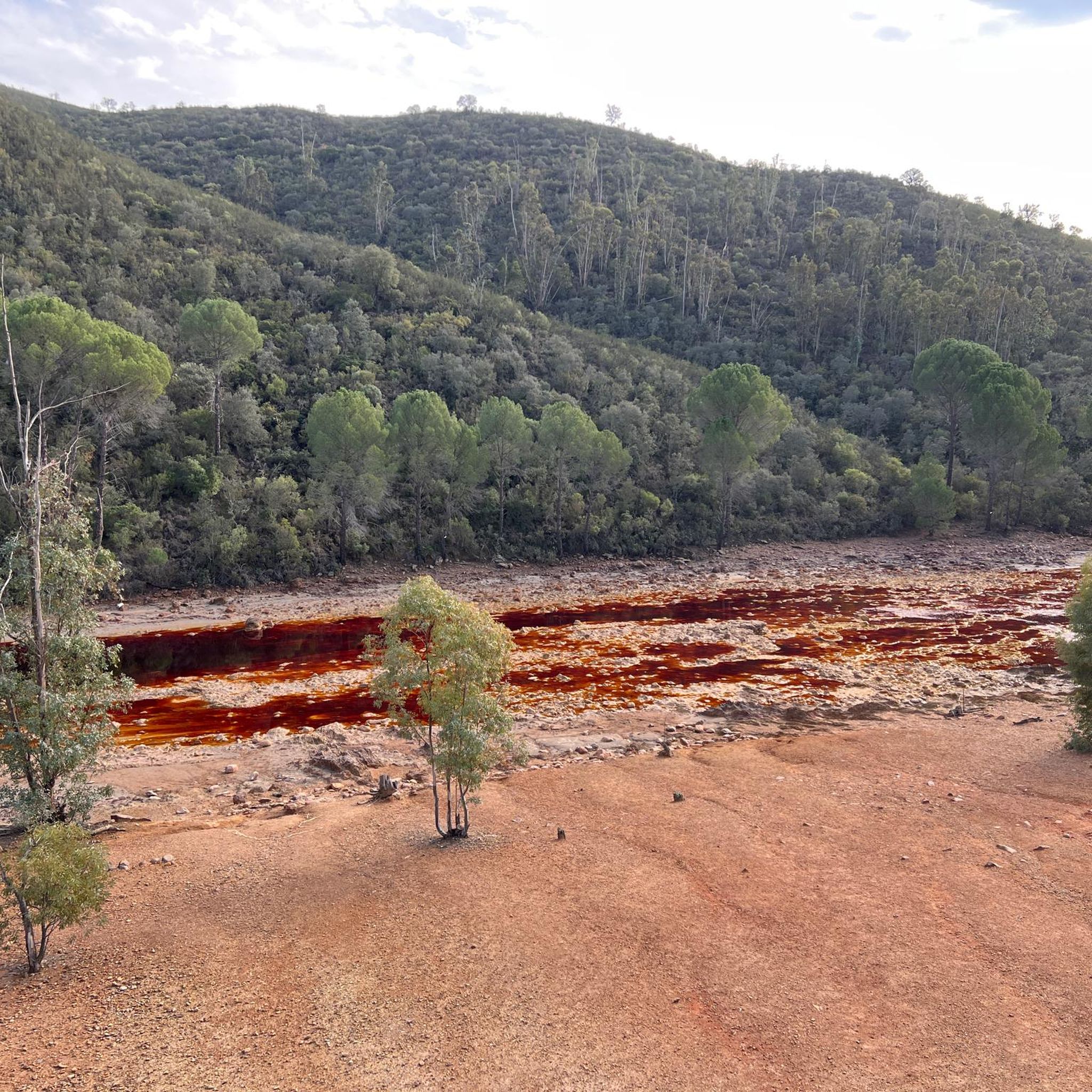
Hiking around El Madroño
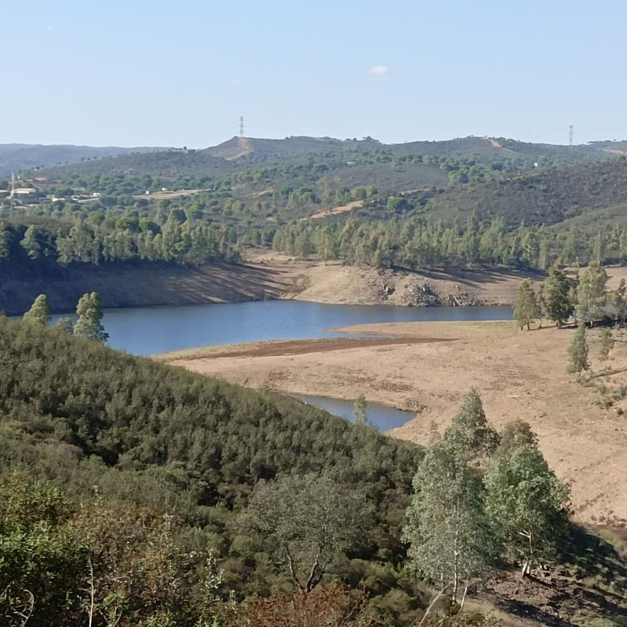
Hiking in Corredor Ecológico Del Río Guadiamar
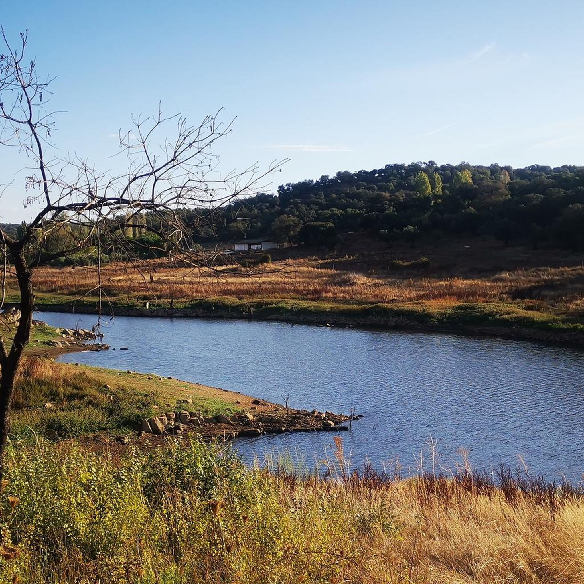
Hiking around Guadalcanal
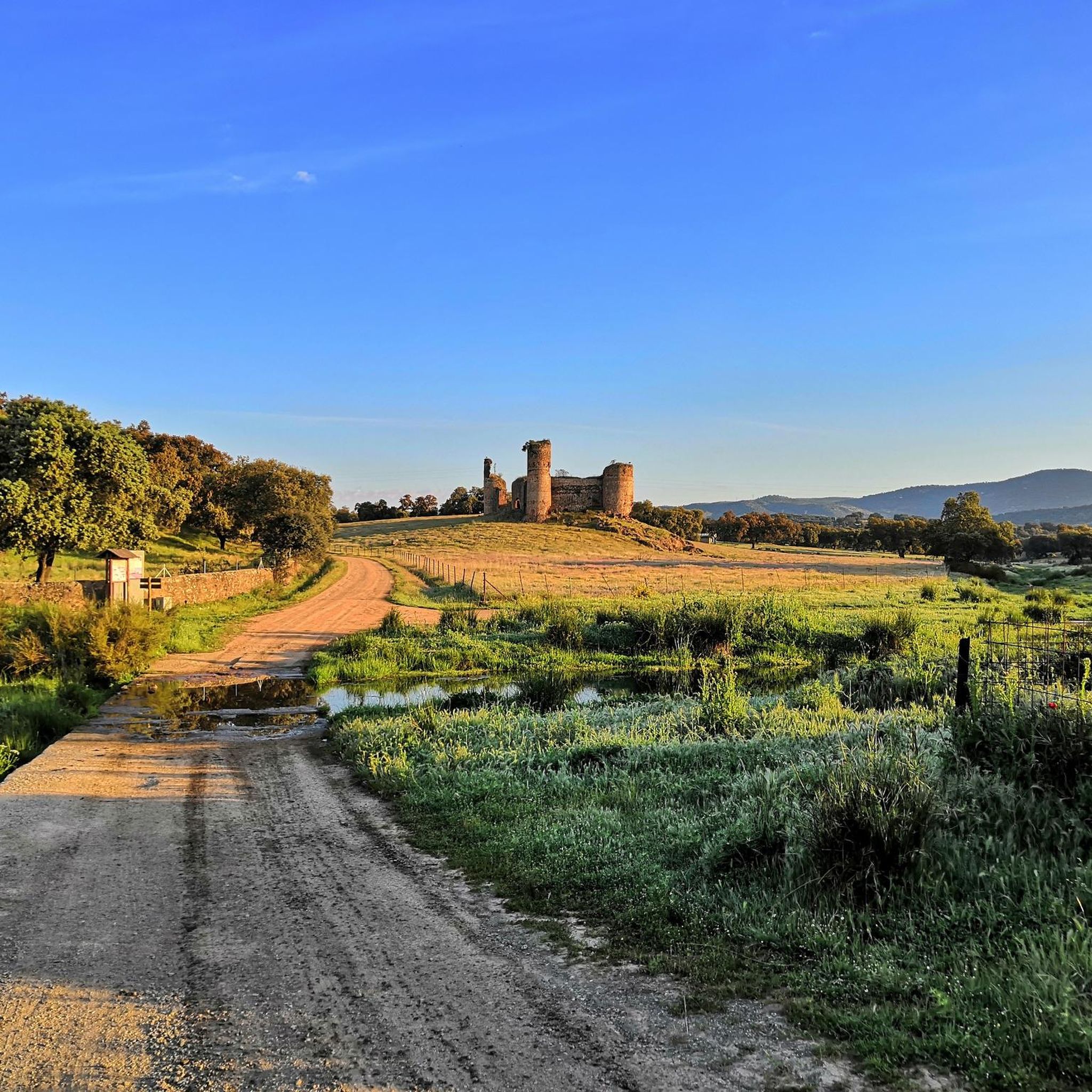
Hiking around El Real De La Jara
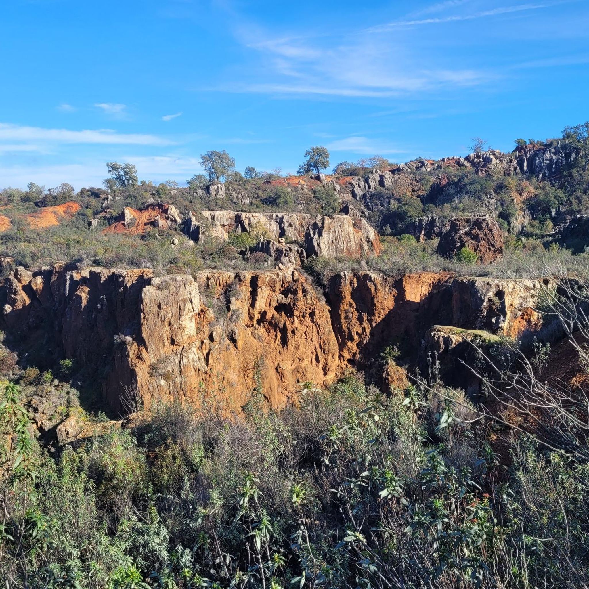
Hiking around San Nicolás Del Puerto
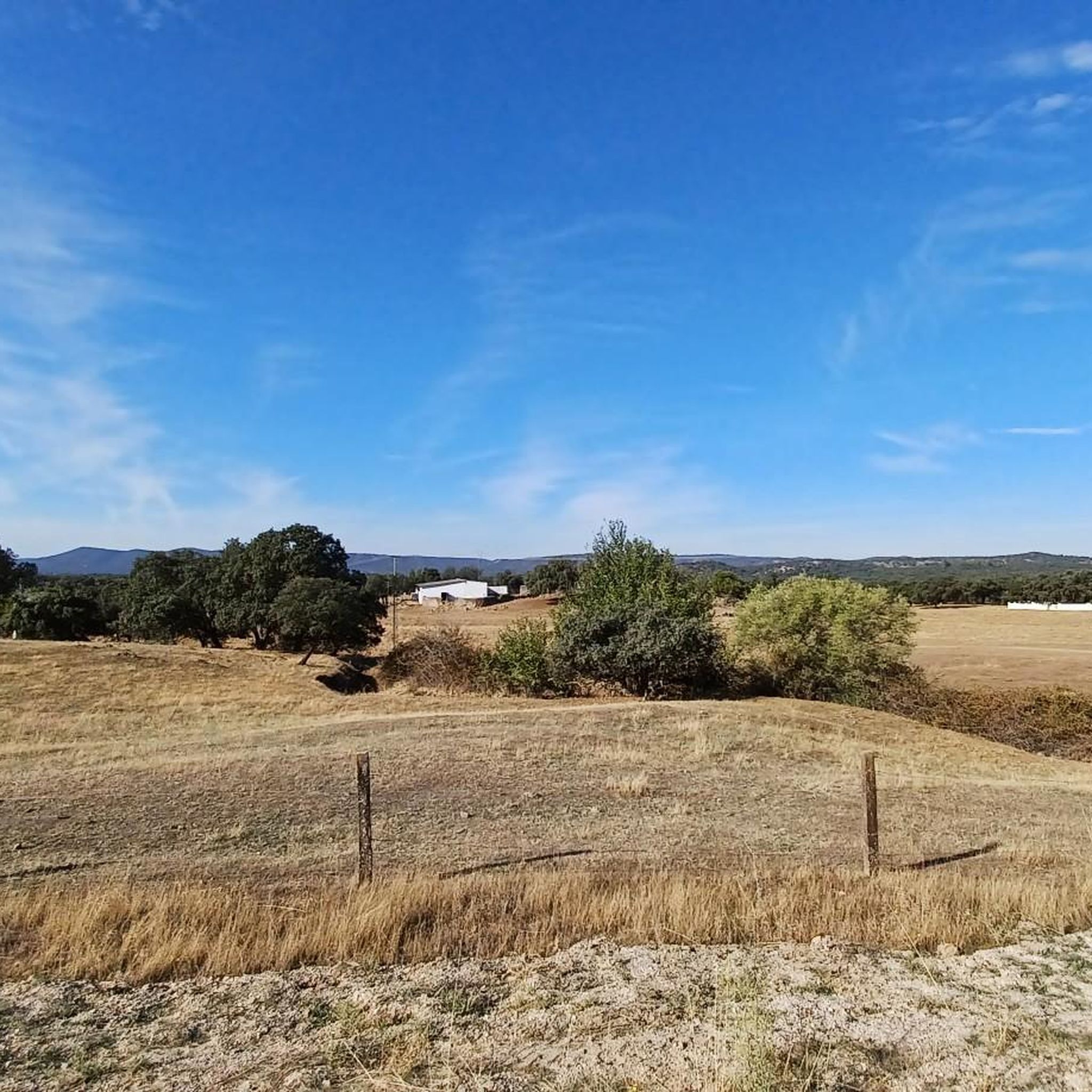
Hiking around El Pedroso
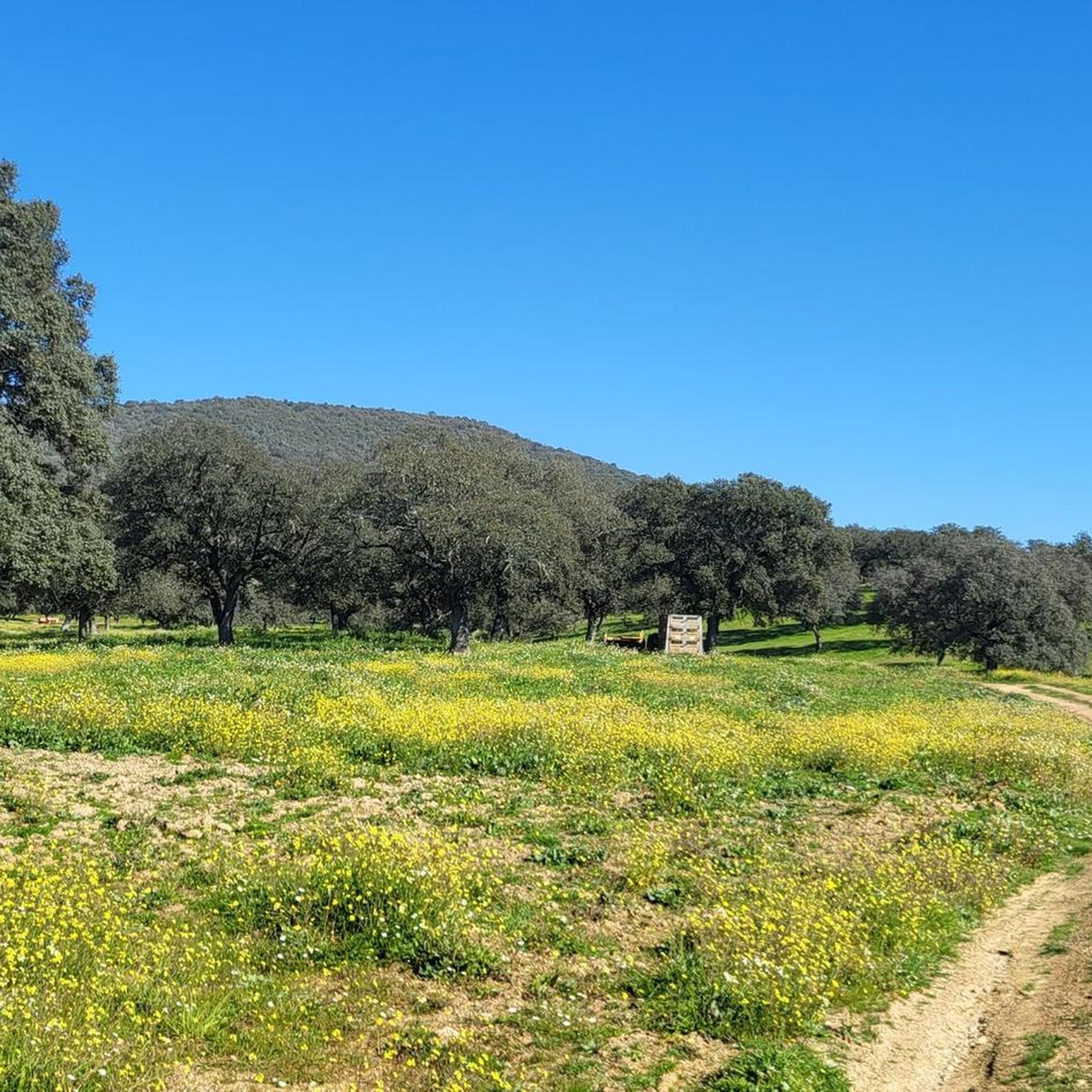
Hiking around Constantina
Other adventures around La Sierra Norte


Tips from the Community

In the legal part this is one of the most beautiful panoramic views, with benches.
14
0

The landscape of the Huéznar River in Cazalla de la Sierra is one of the most beautiful and representative of the Sierra Norte Natural Park in Seville. This stretch of the river offers a privileged natural setting, ideal for hiking, wildlife watching, and nature photography.
4
0
The best views of Cazalla de la Sierra can be enjoyed from several vantage points that combine nature, history, and spectacular panoramas.
4
0
This viewpoint is part of a network of trails and viewpoints that cross areas of great ecological and cultural value.
4
0
The views between Molino del Corcho and Cazalla de la Sierra are a true natural spectacle within the Sierra Norte de Sevilla Natural Park. This route follows the course of the Huéznar River, passing through a lush riparian forest of alders, ash trees, willows, and poplars, creating a cool, shady environment ideal for hiking.
6
0
El Chorro Waterfall near Almadén de la Plata is a natural gem located in the Sierra Norte of Seville. This waterfall is located in a narrow gorge through which the Calzadilla stream cascades. The route to the waterfall is known as the El Chorro Georoute and is quite popular among hikers.
1
0
The Mirador Cerro del Calvario is a beautiful observation point located in the Sierra Norte de Sevilla Natural Park, near Almadén de la Plata. This viewpoint offers spectacular views of the region and is a popular hiking spot. The route to the viewpoint is moderate and accessible for most fitness levels. Also near the viewpoint is El Chorro Waterfall, another natural attraction worth visiting.
6
0

The arrival from Almadén de la Plata is straightforward and follows a straightforward track until you reach the Chorro trail. Once you reach the bed of the Las Calzadillas stream, the truly interesting part begins. From the clearly marked trail, you access the stream bed to see the rock embedded in the gorge formed by the stream. Then, there are steep climbs with spectacular views until you reach the return path. Very interesting and highly recommended.
1
0
Frequently Asked Questions
How many hiking trails are available in La Sierra Norte?
La Sierra Norte offers a wide variety of hiking experiences, with over 100 routes documented on komoot. These range from easy strolls to more challenging multi-day treks, ensuring there's something for every fitness level.
Are there easy hiking options suitable for beginners or families?
Yes, La Sierra Norte has over 30 easy trails perfect for beginners or families. These routes often explore the serene pine and holm oak forests or follow gentle river paths. For a pleasant and accessible walk, consider the El Ronquillo Greenway, which offers a moderate 7.1-mile (11.5 km) path through scenic landscapes.
Where can I find trails with waterfalls or rivers?
The region is rich in water features. Many trails follow pristine rivers or lead to beautiful waterfalls. The Cerro del Calvario and El Chorro Waterfall Loop is an excellent choice, featuring the impressive El Chorro Waterfall. Another great option is the Guillena Water Route Trail, which leads through lush riverine landscapes.
Are there any circular hiking routes in La Sierra Norte?
Yes, many trails in La Sierra Norte are designed as circular routes, allowing you to start and end at the same point. The Las Tejoneras Loop from Almadén de la Plata is a popular moderate circular trail, offering a diverse experience through the region's natural beauty.
What unique natural features can I expect to see on a hike?
La Sierra Norte is home to Mexico's largest cloud forest, extensive pine and holm oak forests, and unique geological formations. You can explore ancient forests with diverse flora and fauna, or witness impressive karst formations like those found on the Cerro del Hierro Trail, which leads to the fascinating Cerro del Hierro Viewpoint.
Are there any cultural or historical landmarks to visit while hiking?
Absolutely. The region is dotted with historical sites and offers rich cultural experiences. You can hike to places like the Chestnut Groves and Castle of Constantina Trail, which includes a visit to the Castle of Constantina. The Pueblos Mancomunados also offer authentic cultural experiences, including local guides and traditional gastronomy.
What are the more challenging hiking routes in La Sierra Norte?
For experienced hikers seeking a challenge, La Sierra Norte offers several difficult routes, with 13 such trails available. These often involve significant elevation gains and longer distances. An example is the longer version of the Guillena Water Route Trail, which spans over 13 miles (21 km).
What do other hikers say about the trails in La Sierra Norte?
The trails in La Sierra Norte are highly regarded by the komoot community, holding an average rating of 4.1 stars from over 340 reviews. Hikers frequently praise the diverse natural landscapes, the tranquility of the forests, and the well-maintained paths that offer stunning panoramic views.
Are there any trails that offer panoramic views?
Many trails in La Sierra Norte lead to breathtaking viewpoints, rewarding hikers with expansive vistas of the mountainous terrain and rolling green valleys. The Las Laderas Trail, for instance, offers varied terrain and opportunities for scenic overlooks.
Can I find trails that are part of a larger network or long-distance path?
Yes, some routes in La Sierra Norte are sections of longer trails. The Sierra Morena Trail (GR 48) is an example of a moderate route that is part of a more extensive network, allowing for longer-distance exploration.
Are there any ecotourism parks or community-managed areas for hiking?
Yes, La Sierra Norte is known for its active ecotourism initiatives, particularly within the Pueblos Mancomunados. Communities like Cuajimoloyas and Benito Juárez offer organized routes, local guides, and hospitality, providing a unique and sustainable way to experience the region's natural beauty and support local economies.
What kind of wildlife or flora might I encounter?
The diverse ecosystems of La Sierra Norte, including cloud forests and ancient pine/holm oak forests, are rich in biodiversity. Hikers can often spot brightly colored wildflowers, enormous agaves, and hanging Spanish moss. The serene environments are also home to various bird species, with the sounds of woodpeckers being a common accompaniment to your hike.
Most popular routes around La Sierra Norte
Most popular attractions around La Sierra Norte

Get inspired with the komoot mobile app


Didn’t find what you were looking for?
Check out more Hikes throughout La Sierra Norte below and find the perfect route in your destination.
Explore more
Browse the best Hikes in other regions.
