The best MTB trails around Lake Ontario
4.7
(32)
745
riders
45
rides
Mountain biking around Lake Ontario offers diverse terrain shaped by glacial activity, featuring a mix of urban trails, forested singletrack, and lakeside paths. The region includes significant features like the Niagara Escarpment and various conservation areas, providing varied riding experiences. Trails often traverse hardwood forests, sandy sections, and areas with views of the lake. This landscape provides options for different skill levels, from beginner-friendly loops to more technical climbs and descents.
Best mountain bike trails around Lake Ontario
- The most…
Last updated: August 22, 2026
5.0
(1)
32
riders
21.6km
01:30
160m
160m
Hard mountain bike ride. Great for any fitness level. Advanced riding skills necessary. Some portions of the route may require you to push your bike.
12
riders
80.6km
04:32
460m
460m
Hard mountain bike ride. Good fitness required. Advanced riding skills necessary. Some portions of the route may require you to push your bike.

Sign up for free
17
riders
40.4km
02:46
270m
270m
Hard mountain bike ride. Good fitness required. Advanced riding skills necessary. Some portions of the route may require you to push your bike.
3.0
(1)
16
riders
14.3km
00:56
100m
100m
Hard mountain bike ride. Great for any fitness level. Advanced riding skills necessary. Some portions of the route may require you to push your bike.
4.5
(2)
15
riders
21.1km
01:10
30m
30m
Easy mountain bike ride. Great for any fitness level. Suitable for all skill levels.
Get access to more routes and recommendations from other explorers.
Sign up for free
Already have an account?
Our route recommendations are based on thousands of hikes, rides, and runs completed by other people on komoot.
Start today with a free account
Your next adventure awaits.
Login or Signup
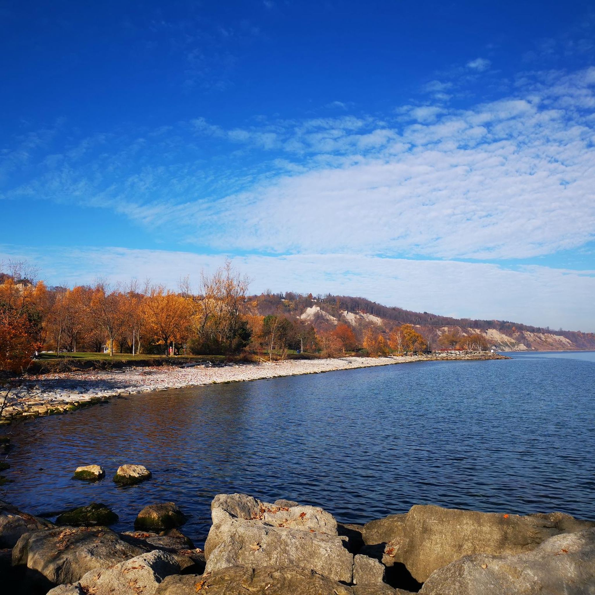
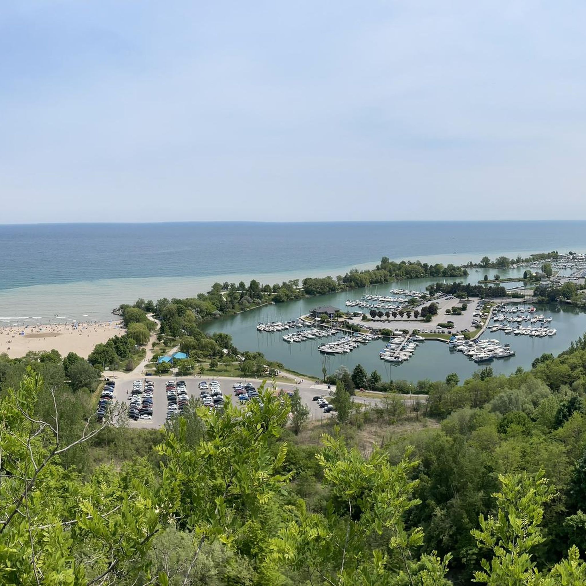
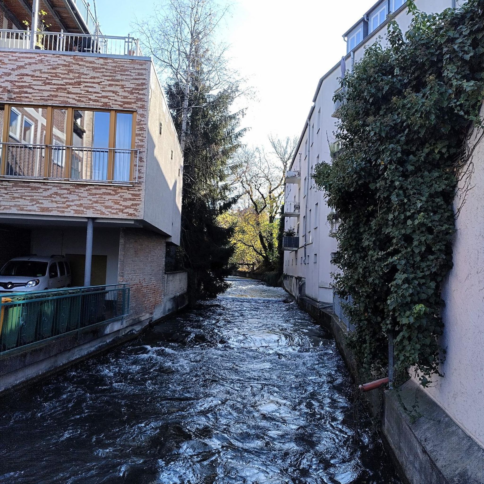

Tips from the Community

The pedestrian bridge crossing the East Branch of the Don River in Finch Hydro Corridor Park is a fantastic structural highlight. Located just east of Bayview Avenue, this sturdy steel-framed bridge allows you to cross the wide ravine safely. It connects the long, paved corridor trail seamlessly, saving you from navigating busy city street traffic below.
0
0

This multi-use trail can be used to make a nice loop around Sunnybrook Park or taken as an out and back to Wilket Creek. Alternatively, you can connect to other city trails and take your adventure further afield.
0
0
Here on the northern shore of Lake Ontario, you'll find a plaque dedicated to the incredible swimmer Marilyn Bell. on September 9th of 1954 she became the first person to swim across Lake Ontario, a distance of 51.5 kilometers. The amazing feat took her nearly 21 hours and etched her name into history.
1
0

The Bayview Cycle Path is a great new addition to Toronto's public trails. The path stretches through forests, wetlands, and neighborhoods along the Don River. In summer, it can get buggy, and in spring, wildflowers line the trail. Be careful in winter, as the path can get icy and slippery.
0
0

Running along the valley floor between Pottery Road and Corktown, the Lower Don River Trail is one of Toronto’s signature north–south cycling and walking routes. The paved path follows the Don River through restored wetlands, under rail bridges, and beside long stretches of forested slope, offering a surprisingly natural feel right beside the city’s core. Multiple access points connect it to Riverdale Park, the Don Valley Brick Works, the Martin Goodman Trail, and the wider ravine network.
0
0
Running through the centre of Toronto, Don River Valley Park is one of the city’s most significant green corridors. The Don Valley Rail Trail follows the western side of the valley, threading through forests, wetlands, and restored natural areas that offer a real break from the urban grid above. It’s also a key north–south link in Toronto’s trail network, used daily by commuters, cyclists, and runners moving between neighbourhoods. With its mix of nature, heritage, and connectivity, this park plays a major role in how the city experiences outdoor space.
0
0

Sunnybrook Park is one of Toronto’s largest urban green spaces, with over 60 hectares of forest, meadows, and multi-use trails in the heart of the city. Once the site of the Kilgour family’s Sunnybrook Farm, the land was donated to the town in 1928 and now features sports fields, picnic areas, off-leash dog areas, and Sunnybrook Stables. It connects to the Don Valley trail network and nearby Edwards Gardens, and is a favourite spot for walkers, cyclists, and families to enjoy Toronto’s natural corridors.
0
0
Frequently Asked Questions
How many mountain bike trails are available around Lake Ontario?
Komoot features over 10 mountain bike trails around Lake Ontario, offering a variety of experiences for different skill levels. These routes are highly rated by the komoot community, with an average score of 4.3 stars.
What are the difficulty levels of mountain bike trails around Lake Ontario?
The trails around Lake Ontario cater to various skill levels. You'll find a good selection of easy routes, with 8 trails classified as easy. There is also one moderate trail and one difficult trail for those seeking more challenge.
Are there any long-distance mountain bike trails near Lake Ontario?
Yes, for those looking for a longer ride, the Easy Trailhead – Three Ramps Trail loop from Exhibition offers a challenging 39.1 km path through varied urban and natural landscapes, including sections along the waterfront.
What natural features can I see while mountain biking around Lake Ontario?
The region boasts impressive natural features. You can explore the Scarborough Bluffs, formed from ancient glacial Lake Iroquois, or the Sand Dunes at Sandbanks Provincial Park. The Wetlands of Tommy Thompson Park also offer unique ecological sights.
Are there any historical or cultural landmarks near the trails?
Yes, you can encounter several landmarks. The Inukshuk on the Toronto Waterfront and the Passage Sculpture at Lake Ontario are notable man-made monuments. The broader region also features sites like Fort Ontario State Historic Site and the Erie Canal Museum.
What do other mountain bikers enjoy most about mountain biking in Lake Ontario?
The area is highly rated by the komoot community, with an average score of 4.3 stars. Reviewers often praise the diverse terrain, which includes urban trails, forested singletrack, and lakeside paths, as well as the options available for different ability levels.
Are there any family-friendly mountain bike trails around Lake Ontario?
Many of the trails around Lake Ontario are suitable for families, particularly the easy-rated routes. The region's urban park systems and gently rolling plains offer accessible paths for a pleasant family outing.
Can I find mountain bike trails with scenic viewpoints around Lake Ontario?
Absolutely. The glacial landscapes and lakeside paths often provide scenic views. For instance, the View from Waterfront Trail offers picturesque vistas, and the Scarborough Bluffs provide impressive cliffside scenery.
Are there mountain bike trails that form a loop around Lake Ontario?
Yes, many of the trails are designed as loops, making them convenient for starting and ending at the same point. An example is the Three Ramps Trail loop from Danforth, which is a 19.6 km route.
What kind of terrain can I expect on mountain bike trails near Lake Ontario?
The terrain is diverse, shaped by glacial activity. You can expect a mix of urban green spaces, forested singletrack, sandy sections, and paths along the lake. Some areas, like those near the Niagara Escarpment, may also feature rocky sections.
Are there any trails that feature waterfalls around Lake Ontario?
Yes, the Waterfall on Forest Trail – Three Ramps Trail loop from Main Street is a notable route that leads through forested parkland and features a waterfall, offering a refreshing natural highlight during your ride.
Are there mountain bike trails accessible by public transport or with parking facilities?
Many trails, especially those within urban centers like Toronto, are often accessible via public transport or have nearby parking. Routes like Sheldon's Lookout loop from Lower Don Lands are typically well-situated for convenience.
Most popular routes around Lake Ontario
Most popular attractions around Lake Ontario

Get inspired with the komoot mobile app


Explore more
Browse the best MTB trails in other regions.
