The best road cycling routes around Stora Björsjön
4.4
(5)
411
riders
26
rides
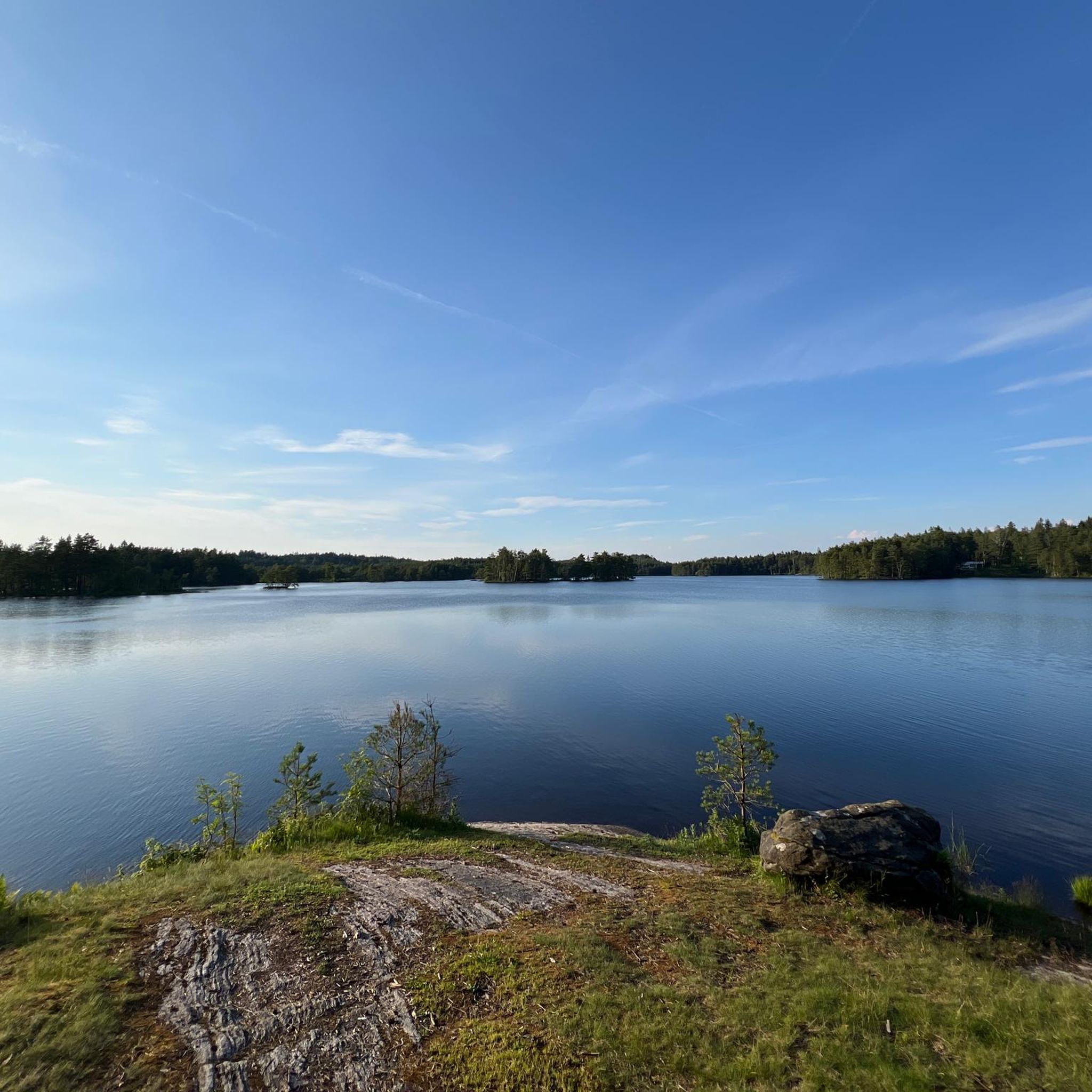
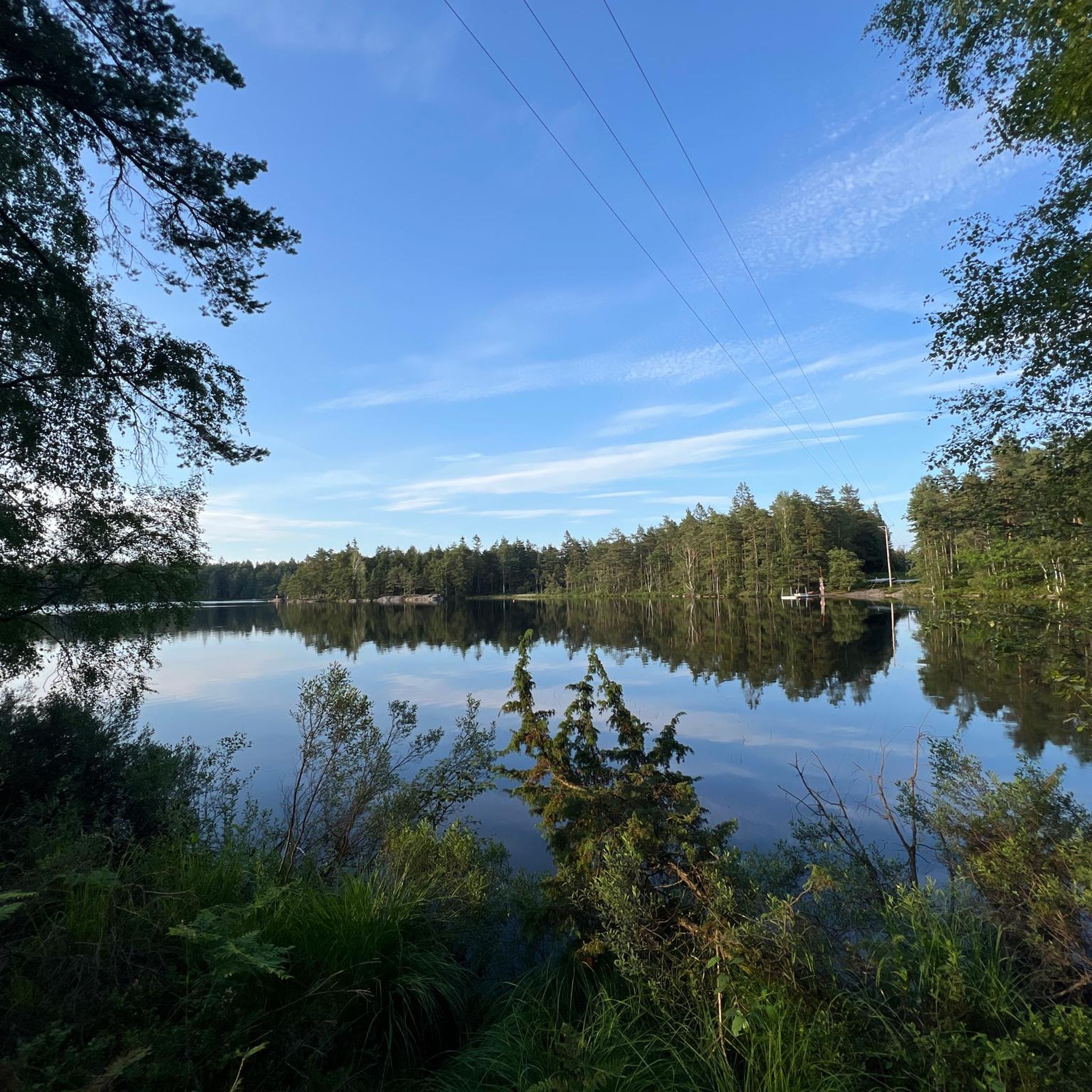
Road cycling routes around Stora Björsjön traverse the Vättlefjäll Nature Reserve, characterized by forested hills, clear lakes, and rugged rocky terrain. The landscape features mixed coniferous and deciduous forests, wetlands, and ancient glacial rock formations. Cyclists can expect varied terrain, including segments with elevation changes, offering views from certain points. Stora Björsjön itself is one of the larger lakes contributing to the scenic environment.
Best road cycling routes around Stora Björsjön
- The most popular road cycling route is Roadbike loop…
Last updated: October 27, 2026
4
riders
36.7km
01:40
350m
350m
Moderate road ride. Good fitness required. Mostly well-paved surfaces and easy to ride.
16
riders
98.5km
04:09
660m
660m
Moderate road ride. Good fitness required. Mostly well-paved surfaces and easy to ride.

13
riders
49.4km
02:06
360m
360m
Moderate road ride. Good fitness required. Mostly well-paved surfaces and easy to ride.
11
riders
119km
04:58
720m
720m
Moderate road ride. Good fitness required. Mostly well-paved surfaces and easy to ride.
11
riders
37.0km
01:37
280m
280m
Easy road ride. Mostly well-paved surfaces and easy to ride.
Get access to more routes and recommendations from other explorers.
Already have an account?
Our route recommendations are based on thousands of hikes, rides, and runs completed by other people on komoot.
Start today with a free account
Your next adventure awaits.
Tips from the Community


From this point you get a great view of the beach.
1
0
On this road you get a great view of Landvettersjön Lake, which is 21 meters deep, has an area of 2.18 square kilometers and is 54.3 meters above sea level.
1
0
From this point you get a quick glimpse over Lake Stora Delsjön, a lake in Gothenburg municipality in Västergötland and part of the Göta river's main catchment area. The lake is 22.5 meters deep, has an area of 1.2 square kilometers and is 69.5 meters above sea level.
0
0

Although the fortress is closed in winter, it is still worth visiting.
1
0

In the Middle Ages, Bohus Fortress was considered one of the largest, most massive and impregnable fortresses in Northern Europe. The fortress was the southernmost border fortress in Norway, built in 1308 by the Norwegian King Håkon V. Magnusson. The fortress is located on a 40 metre high cliff on the island of Bagaholmen. At that time, Bagaholmen was surrounded by the River Göta and lay at the intersection of the three neighbouring kingdoms (Norway to the west, Sweden to the east and Denmark to the south). From the fortress there was good control over shipping on the river.
0
0
Walk around the fortress and listen to the walls telling their stories of kings, saints, power struggles, traitors and prisoners.
0
0

Be sure to use the free audio guide. Very exciting and informative.
1
0
Frequently Asked Questions
How many road cycling routes are available around Stora Björsjön?
There are over 25 road cycling routes around Stora Björsjön, offering a variety of experiences within the Vättlefjäll Nature Reserve. These routes cater to different skill levels, from moderate rides to more challenging options with significant elevation changes.
What kind of terrain can I expect on road cycling routes in Stora Björsjön?
Road cycling routes around Stora Björsjön traverse a diverse landscape of forested hills, clear lakes, and rugged rocky terrain. You'll encounter mixed coniferous and deciduous forests, wetlands, and ancient glacial rock formations. The terrain can be varied, with both moderate stretches and segments requiring good fitness due to elevation changes.
Are there any challenging road cycling routes for experienced riders?
Yes, for experienced riders seeking a challenge, the area offers routes with notable climbs and longer distances. An example is the Bohus Fortress – Kopparklinten Viewing Platform loop from Bohus, which is nearly 119 km long with over 800 meters of elevation gain, typically taking around 5 hours 20 minutes to complete.
What are some notable landmarks or viewpoints along the road cycling routes?
The routes offer scenic views of the Vättlefjäll Nature Reserve's natural beauty, including Stora Björsjön itself and other clear lakes. From certain elevated points, you can enjoy panoramic views of the forested hills and ancient glacial rock formations. While specific viewpoints are not always marked on every route, the entire area provides a picturesque backdrop for your ride.
Is it possible to find family-friendly road cycling routes in the Stora Björsjön area?
While the terrain can be varied with some elevation changes, many routes are suitable for families with older children or those comfortable with moderate distances. The area features mostly paved surfaces, making it accessible. It's recommended to check the difficulty and elevation profiles of individual routes on komoot to find the best fit for your family's ability.
What is the best time of year for road cycling around Stora Björsjön?
The best time for road cycling around Stora Björsjön is typically during the warmer months, from spring through early autumn. During this period, the weather is generally mild, and the natural scenery of forests and lakes is at its most vibrant. Winter cycling might be possible but could involve colder temperatures and potentially icy conditions on roads.
Are there options for parking or public transport for cyclists visiting Stora Björsjön?
The region around Stora Björsjön, particularly within the Göteborg Municipality, generally offers parking facilities near popular outdoor activity areas. For public transport, it's advisable to check local transit options for routes that accommodate bicycles, especially if you plan to start your ride from a specific point within the Vättlefjäll Nature Reserve.
What do other road cyclists say about the routes in Stora Björsjön?
The road cycling routes in Stora Björsjön are highly rated by the komoot community, with an average score of 4.0 stars from 3 reviews. Over 400 road cyclists have used komoot to explore the varied terrain, often praising the scenic beauty of the forested hills and clear lakes.
Are there any places to eat or stay near the road cycling routes?
Yes, the area around Stora Björsjön and the Vättlefjäll Nature Reserve offers some amenities. For accommodation and family-oriented activities, Björsjöås Farm, dating back to the 14th century, is located nearby. While specific cafes directly on routes might be limited, you can find options in surrounding towns or plan for picnic breaks at designated areas along the lakesides.
Can I find circular road cycling routes around Stora Björsjön?
Many of the road cycling routes in the Stora Björsjön area are designed as loops, allowing you to start and end at the same point. For instance, the popular Roadbike loop from Relsbo is a moderate 36.6 km circular trail that winds through the reserve's forests and along its lakes.
What is the average length and duration of road cycling routes in this region?
The road cycling routes around Stora Björsjön vary significantly in length and duration. Moderate routes like the Bohus Fortress – Jörlanda Bakery loop from Bohus are about 49.5 km and take around 1 hour 41 minutes, while more challenging routes can extend to nearly 119 km, requiring over 5 hours to complete.
Most popular routes around Stora Björsjön

Get inspired with the komoot mobile app


Explore more
Browse the best Road cycling routes in other regions.
