The best MTB trails in Marion County
4.9
(7)
312
riders
22
rides
Mountain biking in Marion County, Tennessee, offers a diverse landscape characterized by rugged trails and natural beauty. The region features protected forests, significant elevation changes, and scenic waterways, providing varied terrain for mountain bikers. Trails often wind through dense woodlands and along ridges, with routes around areas like Raccoon Mountain and Prentice Cooper State Forest. These natural features create a challenging and rewarding environment for off-road cycling.
Best mountain bike trails in Marion County
- The most popular mountain bike trail is Tesla's Revenge loop, a 18.3 miles (29.5 km) trail that takes 2 hours 50 minutes to complete. This moderate route features significant elevation gain through varied terrain.
- Another top favourite among local mountain bikers is High Voltage and Live Wire Loop, a moderate 11.2 miles (18.0 km) path. This trail offers a mix of ascents and descents, providing an engaging ride through the natural landscape.
- Local mountain bikers also love the Laurel Point Loop, a 4.7 miles (7.6 km) trail leading through protected forest, often completed in about 33 minutes. This easy route is suitable for a quicker ride.
- Mountain biking in Marion County is defined by rugged trails, protected forest areas, and scenic mountain views. The network offers options for different ability levels, from easy loops to more challenging climbs.
- The routes in Marion County are highly rated by the komoot community with an average score of 5.0 stars from 8 reviews. More than 348 mountain bikers have used komoot to explore Marion County's varied terrain.
Last updated: July 7, 2026
5.0
(1)
60
riders
29.5km
02:50
600m
600m
The Tesla's Revenge loop offers a challenging mountain biking experience through Raccoon Mountain, featuring varied singletrack and incredible scenery. You'll navigate technical sections with roots and rocks, including a difficult, sustained climb in the High Voltage area, but the reward is panoramic views of the Tennessee River gorge and a thrilling five-mile technical descent. Keep an eye out for the unique stone pathway along the dam in the Megawatt section and another stunning river overlook around the 13-mile mark.
This moderate mountain biking trail covers 18.3 miles (29.5 km) with 1970 feet (600 metres) of elevation gain, typically taking around 2 hours and 50 minutes to complete. It's ideal for riders who enjoy technical terrain and significant climbs. While specific parking details aren't provided, it's always a good idea to arrive early, especially on weekends, and check local trail conditions before you go.
What makes the Tesla's Revenge loop stand out is its combination of a demanding initial climb and an "awesome five-mile downhill thriller" that concludes the ride. The trail's reputation comes from its technical and rocky descent, the scenic views of the Tennessee River, and unique features like the dam crossing. It's a true test of skill and endurance for advanced mountain biking enthusiasts in the Chattanooga area.
4.7
(3)
44
riders
18.0km
01:43
430m
430m
The High Voltage and Live Wire Loop at Raccoon Mountain delivers a truly exhilarating mountain biking adventure, especially if you love fast descents. You'll navigate through dense forests, tackling steep climbs on the High Voltage section before being rewarded with the legendary Live Wire downhill, a 4.7-mile stretch featuring rock gardens, bridges, and natural obstacles. This 11.2-mile (18.0 km) route, with its 1405 feet (428 metres) of elevation gain, is a moderate challenge that takes about 1 hour and 42 minutes, perfect for riders seeking to push their limits and enjoy some of the best flow trails around.
To make the most of your ride, consider tackling the loop counter-clockwise to maximize the downhill thrill. While specific parking information isn't always prominent, the trail is located within the Raccoon Mountain Pumped Storage Plant area, which typically offers visitor access. Always ensure your bike is in top condition and carry enough water, especially during warmer months. For the best scenic rewards, plan your visit during winter when the trees allow for expansive views of the Tennessee River Gorge.
This trail system is particularly notable for its ability to help riders develop and hone their mountain biking skills, thanks to its diverse terrain and technical features. Beyond the main loop, you'll find freeride zones like "Chunky" with boulders that invite creative lines, making it a playground for advanced techniques. The combination of demanding climbs and fluid, fast descents sets this route apart from other local offerings, providing a unique and rewarding challenge for any mountain biker.

Sign up for free
5.0
(1)
16
riders
7.62km
00:34
100m
100m
The Laurel Point Loop offers a dynamic mountain biking experience through light woods, opening up to stunning views of the Tennessee River Valley. This easy 4.7-mile (7.6 km) route, with its 320 feet (98 metres) of elevation gain, can be completed in about 33 minutes, making it a quick but rewarding ride. You'll navigate singletrack sections, encountering rocky terrain and roots that add a technical edge, perfect for honing your skills. The trail provides picturesque glimpses of the lake and the Tennessee River Gorge, especially beautiful in the softer light of morning or late afternoon.
When planning your visit, keep in mind that the trail can get muddy following wet weather, so it's wise to check conditions beforehand. For the most scenic experience, aim to ride in the morning or late afternoon to catch the best light over the Tennessee River Gorge. Dogs are welcome on the trail, so feel free to bring your furry friend along for the adventure.
Part of the larger Raccoon Mountain trail system, the Laurel Point Loop is recognized as an excellent spot for riders to improve their technical abilities due to its varied features. While officially rated easy, its singletrack nature and rooted sections make it more suitable for intermediate riders or beginners looking to push their limits. It's a popular choice for its combination of engaging terrain and diverse riding experiences available in the area.
7.50km
00:28
80m
80m
The Raccoon Mountain Reservoir road loop offers a wonderfully accessible mountain biking experience, circling the large reservoir on a paved surface. As you ride, you'll enjoy expansive views of the water and the distant mountains, with the chance to spot local wildlife like deer or even bald eagles. The route winds through pleasant hardwood forests and open grasslands, providing a smooth and non-technical journey perfect for a leisurely outing.
This easy 4.7-mile (7.5 km) loop, with its gentle 272 feet (83 metres) of elevation gain, is ideal for beginner mountain biking and takes roughly 27 minutes. The paved road is open to cars, so stay alert. Parking is readily available at the Raccoon Mountain Reservoir Trail System, making it a convenient option for a quick ride or a family adventure.
Part of the Tennessee Valley Authority's Raccoon Mountain Pumped Storage Facility, this man-made reservoir provides a unique backdrop for your ride. While the road loop is easy, it connects to a much larger network of advanced singletrack trails, making the area a popular destination for all levels of mountain biking terrain. Don't miss the visitor center for insights into this significant hydroelectric project.
35.1km
02:56
530m
530m
This moderate 21.8-mile mountain bike loop in Prentice Cooper State Forest offers stunning views of the Tennessee River Gorge from Snooper's
30
riders
17.3km
01:39
330m
330m
Hard mountain bike ride. Good fitness required. Advanced riding skills necessary. Some portions of the route may require you to push your bike.
5.0
(1)
24
riders
12.5km
00:57
170m
170m
The Mountainbike loop from Laurel Point Picnic Area offers a spirited ride through the forested slopes of Raccoon Mountain, providing frequent, rewarding glimpses of Chattanooga and the Tennessee River Gorge, particularly in the cooler months. This moderate 7.8-mile (12.5 km) loop features 574 feet (175 metres) of elevation gain, with rolling singletrack that includes technical rocky and rooted sections, making it a solid 57-minute workout for intermediate riders.
You'll find the trailhead at the scenic Laurel Point Picnic Area, which itself boasts impressive vistas of the Tennessee River Valley. The trail is popular and well-maintained, so arriving earlier in the day is a good strategy, especially on weekends. If you're hoping for the clearest views of the gorge, aim for a winter ride when the tree cover is less dense.
This loop is a key connector within the larger Raccoon Mountain trail system, known for its extensive network of singletrack. It serves as an excellent training ground for mountain bikers looking to improve their technical skills on blue difficulty singletrack, offering a mix of challenge and enjoyment that keeps you engaged throughout the ride.
5.0
(1)
39
riders
13.0km
01:04
180m
190m
This Mountainbike loop from East Overlook offers a delightful and manageable ride, perfect for those seeking engaging singletrack and rewarding vistas. You'll navigate a lollipop loop design, pedaling through fragrant juniper, pinion, and cholla forests, with the highlight being several great views into the Royal Gorge. The terrain is generally smooth with an average grade of 1%, making it a fun and accessible experience for many riders.
While specific trailhead and parking information for this particular 'East Overlook' isn't detailed, it's always best to consult local resources before your visit. The trail's eastern end connects to a dirt road that can lead you towards Fremont Peak if you're looking to extend your adventure. Plan to carry sufficient water, especially on sunny days, and consider an early start to enjoy cooler temperatures and fewer people on the path.
This route is a fantastic option for a quick yet satisfying mountain bike outing, covering 8.1 miles (13.0 km) with 605 feet (184 metres) of elevation gain in about 1 hour and 3 minutes. Its moderate difficulty makes it suitable for intermediate riders or those looking to progress their skills on varied singletrack. The scenic overlooks into the Royal Gorge provide a memorable backdrop, distinguishing it as a high-reward, low-commitment ride.
6
riders
30.2km
02:28
330m
330m
Moderate mountain bike ride. Good fitness required. Suitable for all skill levels.
7
riders
14.8km
01:28
340m
340m
Hard mountain bike ride. Good fitness required. Advanced riding skills necessary. Some portions of the route may require you to push your bike.
Get access to more routes and recommendations from other explorers.
Sign up for free
Already have an account?
Our route recommendations are based on thousands of hikes, rides, and runs completed by other people on komoot.
Start today with a free account
Your next adventure awaits.
Login or Signup
Popular around Marion County

MTB Trails in Prentice Cooper State Park

MTB Trails in Prentice Cooper State Forest

MTB Trails around Whiteside
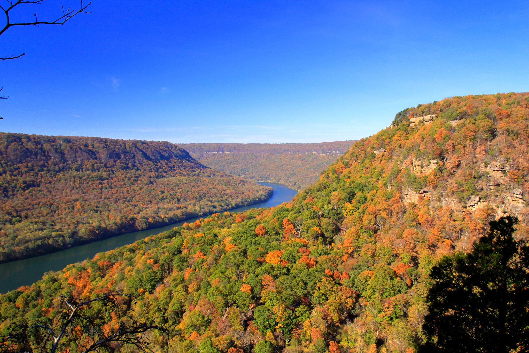
Cumberland Trail — A Walk Through Tennessee’s Hidden Wilderness
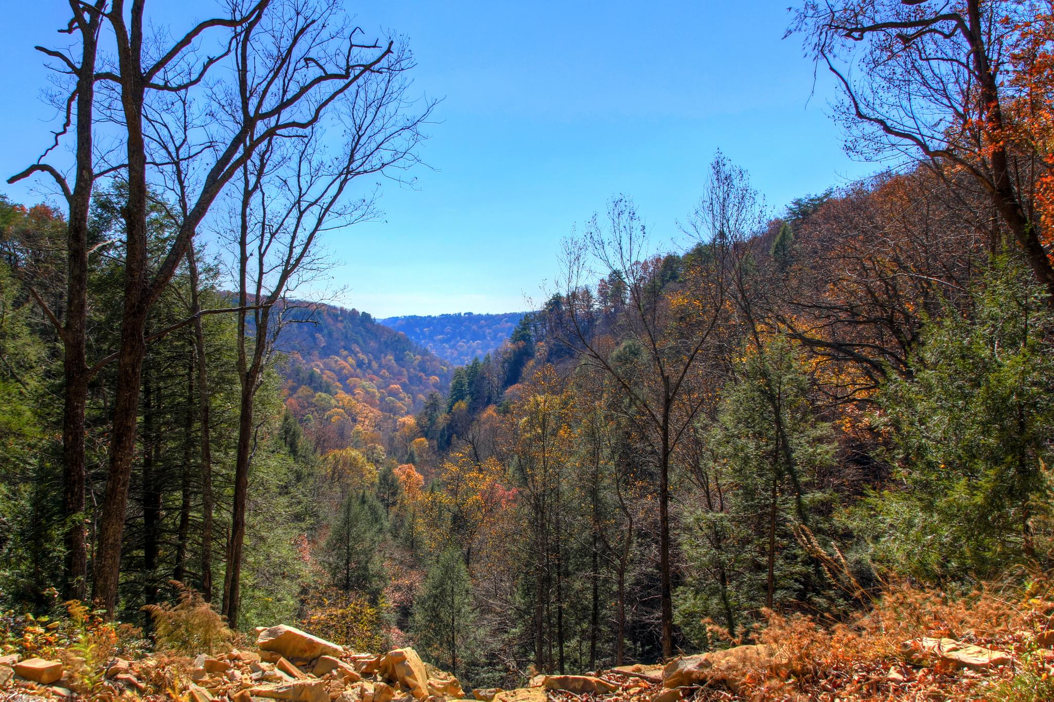
Hiking Fiery Gizzard Trail — Gorge-ous views and water falls
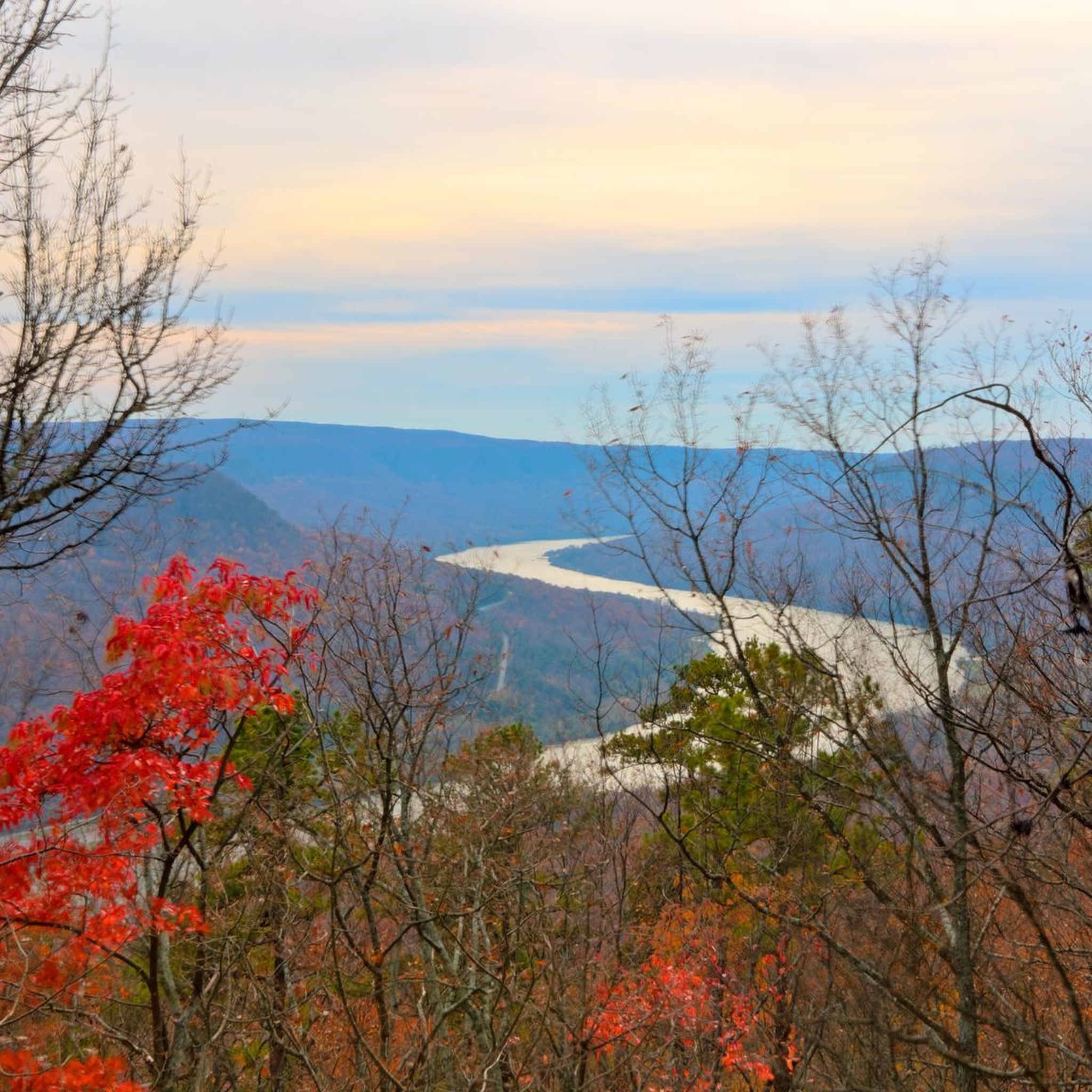
Hiking in Marion County
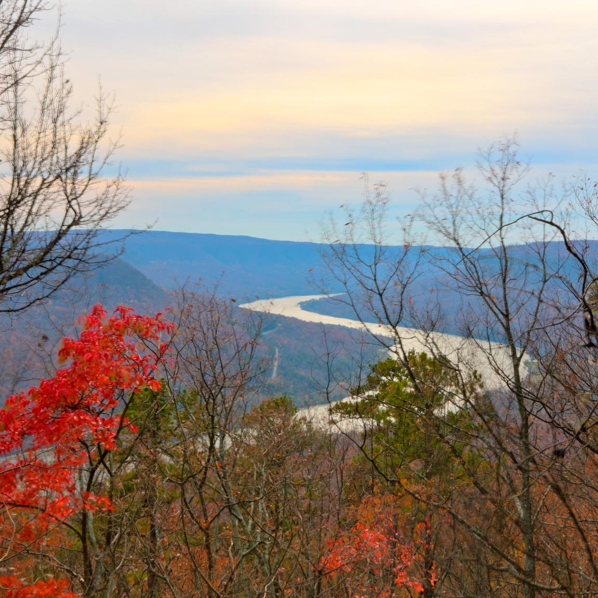
Running Trails in Marion County
Road Cycling Routes in Marion County
Cycling in Marion County


Tips from the Community

The road around Raccoon Mountain Reservoir is a popular spot because of the great views of the reservoir and the mountains in the distance. The road is open to traffic, so make sure you enjoy the views safely and are aware of cars and other road users.
0
0

The Raccoon Mountain Reservoir trail network includes over 20 miles of singletrack trails interconnecting all around the reservoir. Some trails are more difficult than others, but basically all the trails are open to both foot-traffic and mountain bikes so be aware of other trail users. There are a variety of trailheads and loops/routes you can do, but the most common loop is the loop that circles the entire reservoir.
0
0
Snooper's Rock is a cool overlook on the Cumberland Trail. It has expansive views of the Tennessee River, Chattanooga, and the distant Lookout Mountain. The overlook is actually a few hundred feet past the end of this pull-off. You'll have to walk your bike, but this overlook is worth the walk (it's pretty much the pinnacle of the ride).
0
0
Prentice Cooper State Forest plays host to miles of singletrack and double-track trails, but not of these trails are open to bikes. That being said, the entirety of the property is filled with smooth (and some not-so-smooth) dirt and gravel forest roads. A lot of people bike these roads on a gravel bike, but if you are looking for a smoother ride (and aren't opposed to riding something a little heavier), the roads within Prentice Cooper State Forest are perfect for a hard tail mountain bike.
0
0
Snooper's Rock is a cool overlook on the Cumberland Trail. It has expansive views of the Tennessee River, Chattanooga, and the distant Lookout Mountain.
1
0
The Perimeter Trail loop is one of the most popular rides near Sewanee. It travels along the Cumberland Plateau and offers overlooks, waterfall vistas, bridge crossings, and other natural features. This is a tough trail, but there are a lot of really rideable sections, too. There are over 30 miles of trails bordering the property of The University of the South — Sewanee. The trails are fairly rooty and rocky and are mainly classified as blue-black trails. There are lots of trail intersections, but they are marked well with plenty of signage. You can park in a number of places to access the trails, and you can create tons of different sized loops depending on what trails you utilize.
0
0
Grindstone Ridge is a short section of the greater Tesla's Revenge route, which is a trail loop at Raccoon Mountain that features some of the more difficult and technical single track trails offered in the park. There are some steep uphill sections and some rock features that require some expert riding skills, but you can avoid the really tricky stuff for the most part. The downhills are usually in great condition and can get pretty steep in spots, too.
0
0
Laurel Point Trail is a short singletrack trail in the Raccoon Mountain trail system. It helps connect the trails going around the reservoir to the Laurel Point recreation area. This picnic area offers some cool views of the Tennessee River Valley and the lake.
0
0
Frequently Asked Questions
How many mountain bike trails are available in Marion County, Tennessee?
Marion County, Tennessee, offers a selection of 10 mountain bike routes, providing diverse options for riders. These trails are highly regarded by the komoot community, with an average rating of 5.0 stars from 8 reviews.
What kind of terrain can I expect on mountain bike trails in Marion County?
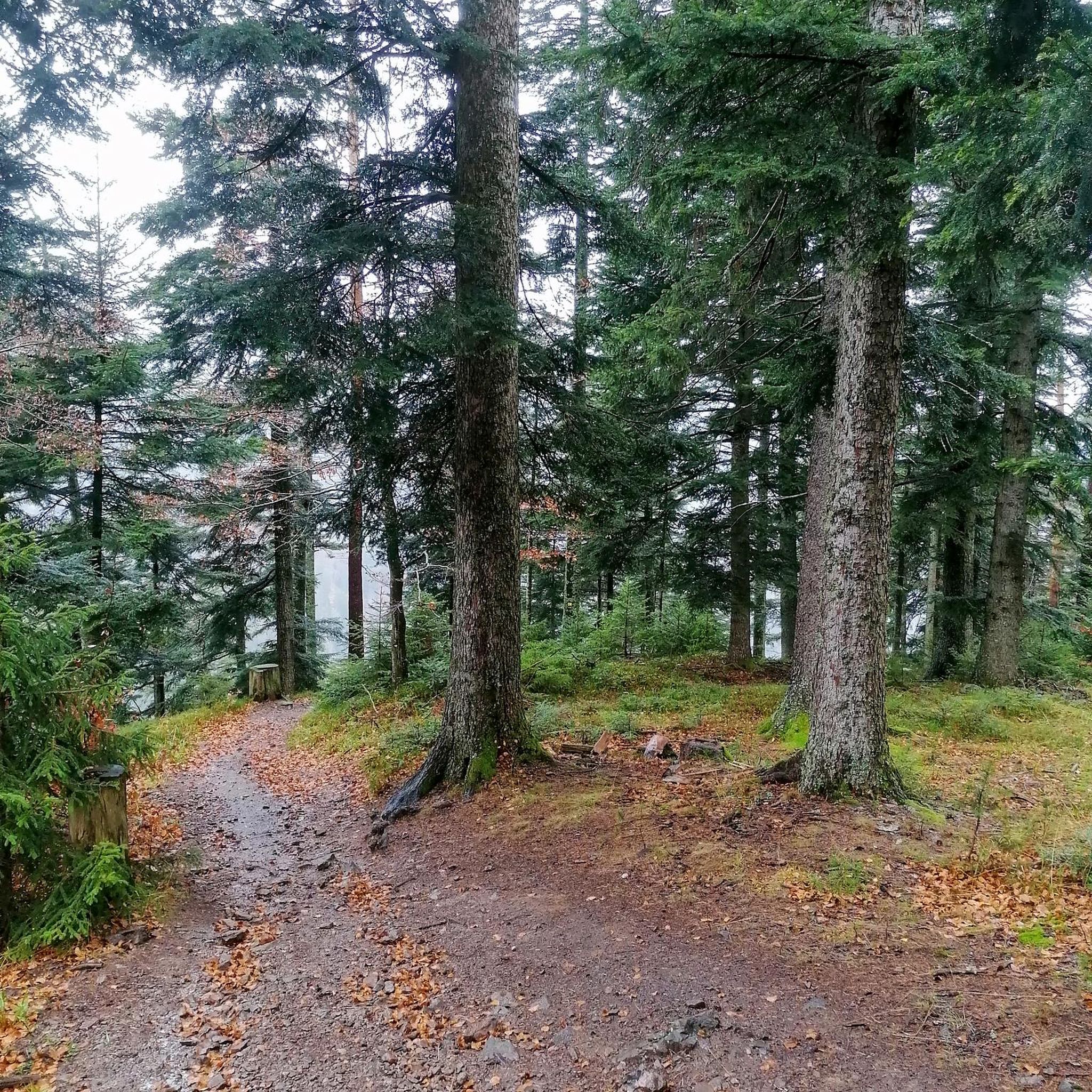
You can expect rugged trails, protected forest areas, and significant elevation changes. The region features varied terrain, often winding through dense woodlands and along ridges, particularly around areas like Raccoon Mountain and Prentice Cooper State Forest. This creates a challenging and rewarding environment for off-road cycling.
Are there mountain bike trails suitable for beginners in Marion County?
Yes, Marion County offers 2 easy mountain bike routes. A good option for a quicker, less strenuous ride is the Laurel Point Loop, which is 4.7 miles long and leads through protected forest. Another easy choice is the Raccoon Mountain Reservoir road loop.
What are some challenging mountain bike trails for experienced riders in Marion County?
For experienced riders seeking a challenge, Marion County has 3 difficult routes. Consider the Grindstone Ridge loop from East Overlook, which covers 22.7 miles with substantial elevation gain. Another demanding option is the Grindstone Ridge loop from Switch Yard, a 17.3-mile route with significant climbs.
Are there any loop trails for mountain biking in Marion County?
Many of the mountain bike routes in Marion County are loops, offering a continuous ride back to your starting point. Popular loop trails include Tesla's Revenge loop, High Voltage and Live Wire Loop, and the Snooper's Rock & Pot Point Road via Game Reserve Road gravel loop.
Can I find trails with scenic viewpoints in Marion County?
Yes, Marion County offers several trails that lead to stunning viewpoints. You can enjoy panoramic vistas from highlights like Snooper’s Rock, Little Cedar Mountain Overlook, and Raven Point Viewpoint. These spots provide excellent opportunities to take in the natural beauty of the region.
Are there any waterfalls or natural attractions accessible from mountain bike trails?
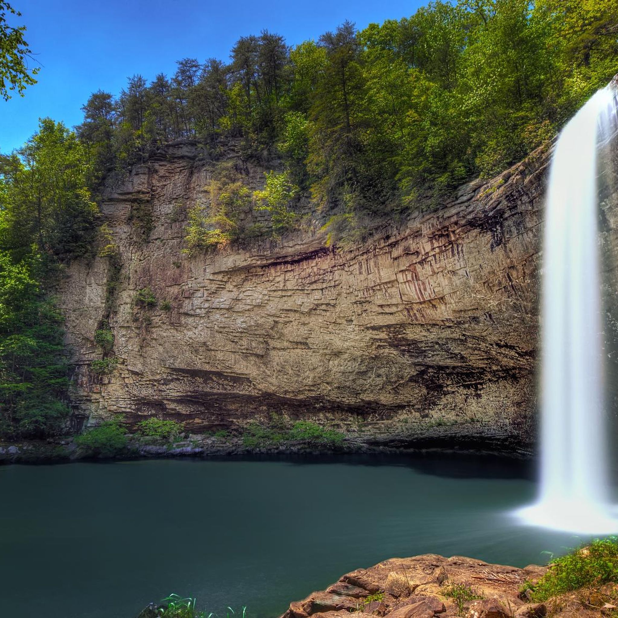
Absolutely! Marion County is rich in natural beauty. You can find impressive waterfalls such as Foster Falls, Denny Cove Waterfall, and Blowing Wind Falls. The Raccoon Mountain Reservoir Trail System also offers access to beautiful lake areas.
What do other mountain bikers say about the trails in Marion County?
The mountain bike trails in Marion County are highly rated by the komoot community, achieving an average score of 5.0 stars from 8 reviews. Riders often praise the diverse terrain, the challenging climbs, and the scenic beauty of the protected forests and viewpoints. Over 348 mountain bikers have used komoot to explore the varied landscape.
How long are the mountain bike trails typically in Marion County?
The mountain bike trails in Marion County vary in length. You can find shorter routes like the Laurel Point Loop at 4.7 miles, which can be completed in about 33 minutes. Longer routes, such as Tesla's Revenge loop, extend to 18.3 miles and can take nearly 3 hours to complete, offering a more extensive ride.
Where can I find trails with significant elevation changes for mountain biking?
For trails with significant elevation changes, focus on the more difficult and moderate routes in Marion County. The Tesla's Revenge loop, for example, features over 600 meters of elevation gain. Other routes like the High Voltage and Live Wire Loop also offer a good mix of ascents and descents through the natural landscape.
Are there any trails that explore the Raccoon Mountain area?
Yes, the Raccoon Mountain area is a prominent feature for mountain biking in Marion County. You can explore routes like the Raccoon Mountain Reservoir road loop, which is an easy 4.7-mile ride. Additionally, the Laurel Point path loop from Raccoon Mountain Pumped Station Dam offers another option to experience this area.
Most popular routes in Marion County
Most popular attractions in Marion County

Get inspired with the komoot mobile app


Didn’t find what you were looking for?
Check out more MTB trails throughout Marion County below and find the perfect route in your destination.
Explore more
Browse the best MTB trails in other regions.
