The best running trails in Caldwell County
4.0
(1)
335
runners
44
runs
Jogging in Caldwell County offers a diverse range of natural landscapes within the Blue Ridge Mountains foothills of western North Carolina. The region features varied terrain, from gentle greenways to challenging mountain trails, with elevations ranging from 900 to nearly 6,000 feet above sea level. Numerous rivers and creeks, including the Catawba River and Wilson Creek, often accompany trails, enhancing the scenic value of running routes. This varied geography provides options for all fitness levels, from paved paths to rugged…
Last updated: July 8, 2026
4
runners
6.75km
00:43
50m
50m
Set out for a moderate jogging experience on the Valdese Greenway to McGalliard Falls, a route that spans 4.2 miles (6.8 km) with a gentle 177 feet (54 metres) of…
1
runners
7.50km
00:47
60m
60m
The Outer Loop and Hoyle Creek Trail invites you to a moderate jogging experience, covering 4.7 miles (7.5 km) with an elevation gain of 209 feet (64 metres). You can…

Sign up for free
16
runners
7.18km
00:46
110m
120m
Moderate run. Good fitness required. Mostly paved surfaces. Suitable for all skill levels.
20
runners
Hard run. Good fitness required. Sure-footedness, sturdy shoes and alpine experience required.
24
runners
9.86km
01:03
120m
120m
Moderate run. Good fitness required. Mostly paved surfaces. Suitable for all skill levels.
8
runners
5.39km
00:34
50m
50m
Moderate run. Good fitness required. Mostly paved surfaces. Suitable for all skill levels.
6
runners
6.85km
00:44
110m
110m
Moderate run. Good fitness required. Mostly paved surfaces. Suitable for all skill levels.
6
runners
32.1km
03:32
630m
630m
Hard run. Very good fitness required. Mostly paved surfaces. Suitable for all skill levels.
3
runners
5.41km
00:34
70m
70m
Moderate run. Good fitness required. Mostly paved surfaces. Suitable for all skill levels.
3
runners
10.0km
01:03
100m
100m
Moderate run. Good fitness required. Mostly paved surfaces. Suitable for all skill levels.
Get access to more routes and recommendations from other explorers.
Sign up for free
Already have an account?
Our route recommendations are based on thousands of hikes, rides, and runs completed by other people on komoot.
Start today with a free account
Your next adventure awaits.
Login or Signup


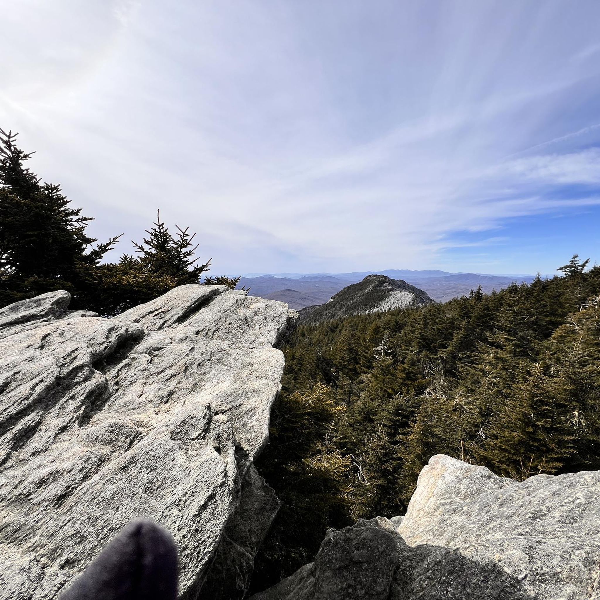
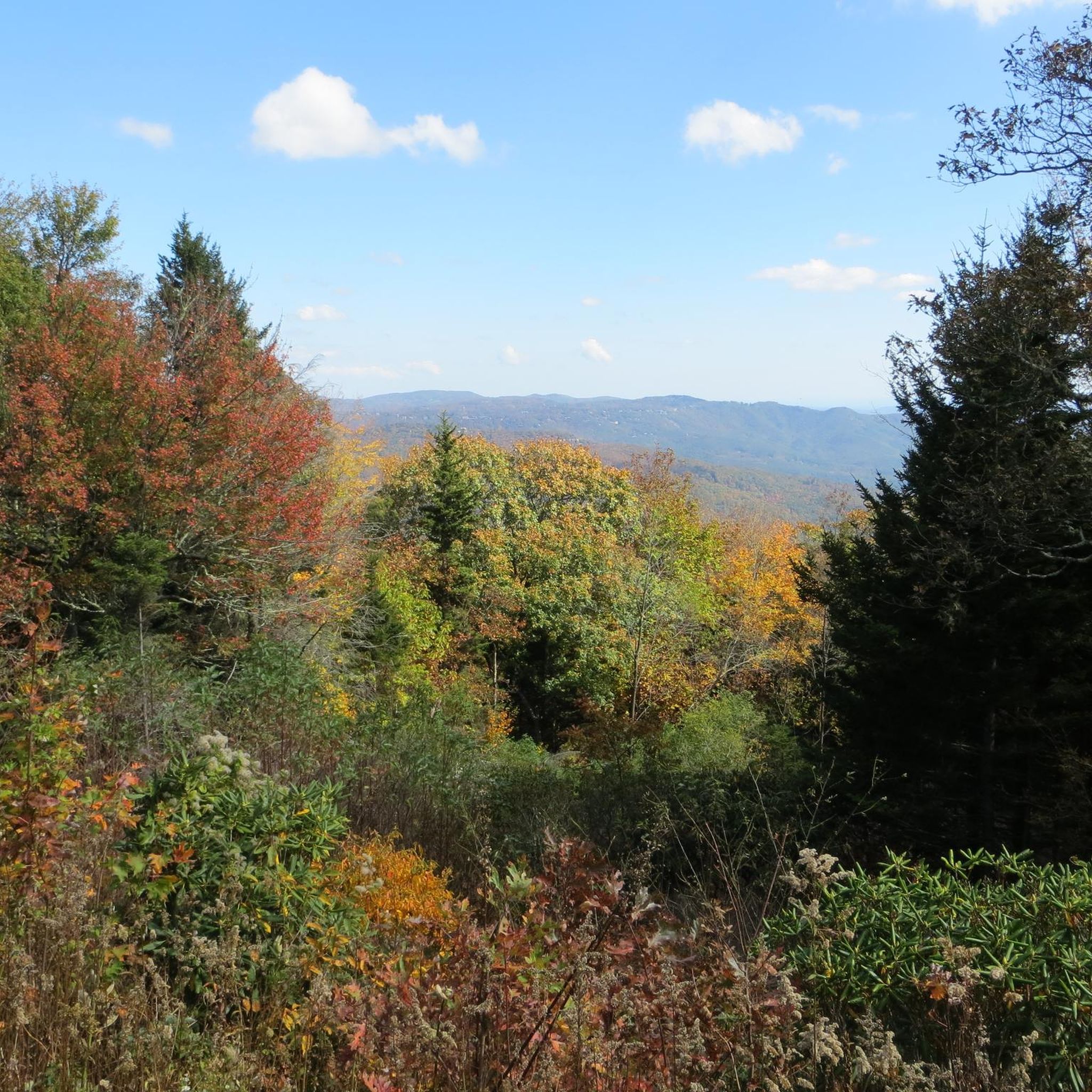
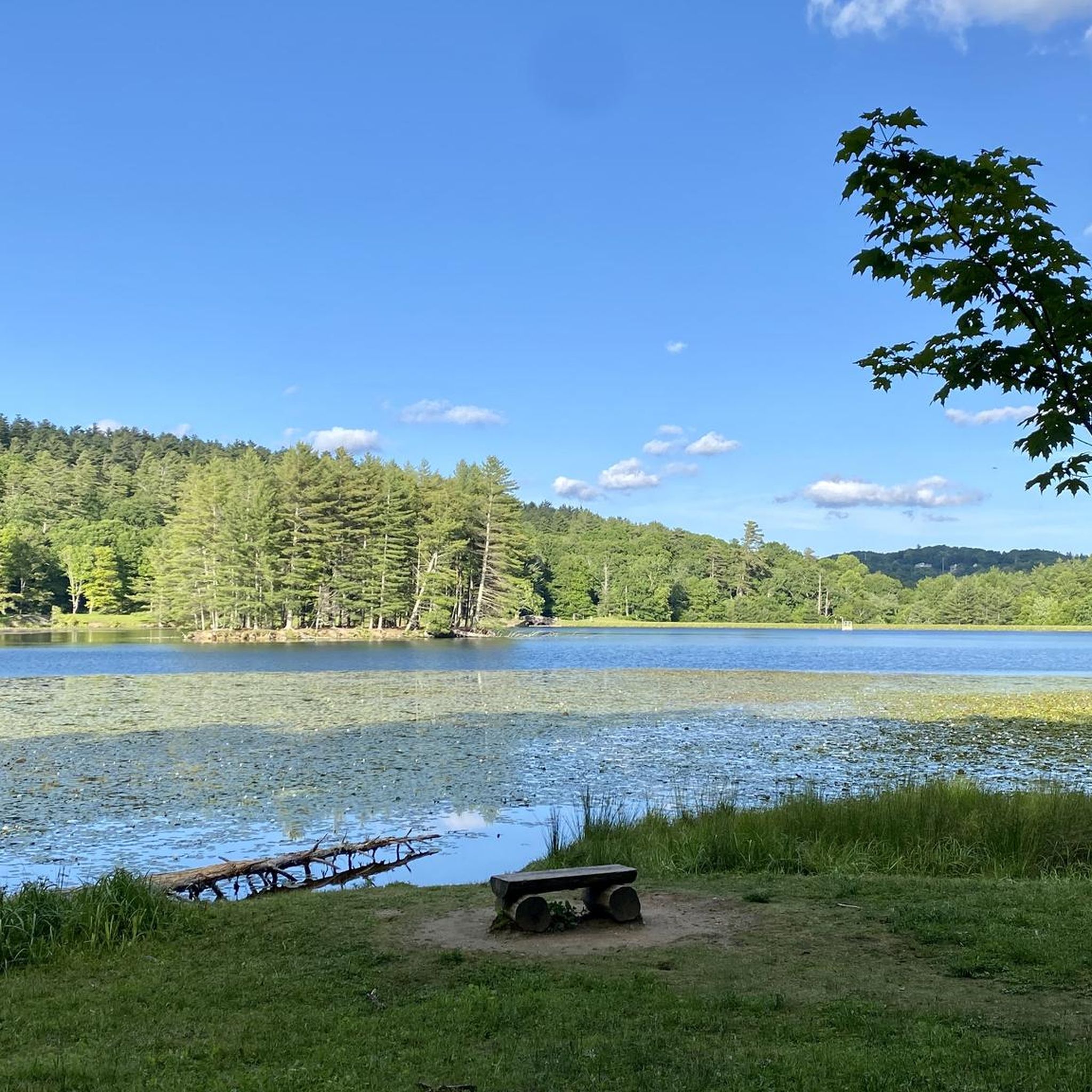

Tips from the Community

An easy walk around the lake. I saw bathing deer and snakes.
0
0

Valdese Lakeside Park is a 300 acre park located at the shoreline of Lake Rhohiss. The park features multiple trails that meander through forest while passing various creeks and beautiful views of the nearby water.
0
0
Located along the shoreline of Catawba River, Meditation Point offers a beautiful view of the water. The wooden platform is based in the forest and provides spectacular sunsets!
0
0
The Valdese Greenway offers a scenic pathway along the Catawba River and McGalliard Creek. It provides a great environment for hiking, running, and biking and is lined with lush vegetation. The trail features benches, bridges, and various viewpoints.
0
0
The McGalliard Falls is a picturesque waterfall situated in the park of the same name. The falls cascade gracefully over rocks, creating a serene and natural setting. To reach the falls, the Valdese Greenway is the most popular route, but they can be reached by car as well.
1
0

The 360º view of the Blue Ridge Mountains from the tower is a stunning sight at the completion of the climb. The original wooden tower was built in 1900, but torn down and rebuilt in 1954.
0
0
Available activities include hiking, paddling, fishing, picnicking, and camping.
1
0
The recently-restored Heart Pond features stone walls that whimsically create the shape of a heart. The pond is a thriving habitat for fish and waterfowl.
0
0
Frequently Asked Questions
How many running routes are available in Caldwell County?
Caldwell County features over 30 dedicated running routes, catering to a wide range of abilities. You'll find everything from easy, paved paths to more challenging mountain trails.
What kind of terrain can I expect on jogging trails in Caldwell County?
The terrain in Caldwell County is quite diverse, ranging from gentle greenways and paved paths, such as the Lenoir Greenway, to rugged forest singletrack and challenging mountain trails within areas like Pisgah National Forest. The elevation changes significantly across the county, offering varied experiences for all fitness levels.
Are there any easy or beginner-friendly jogging routes in the area?
Yes, Caldwell County has several easy options perfect for beginners. The Valdese Greenway to McGalliard Falls is a moderate 4.2-mile route with mostly paved surfaces, and the T.H. Broyhill Walking Park in Lenoir offers a tranquil, paved .43-mile loop. The Lenoir Greenway also provides over nine miles of paved, flat paths.
Which running routes offer scenic views or natural landmarks?
Many routes boast beautiful scenery. The Valdese Greenway to McGalliard Falls features a picturesque waterfall. The Outer Loop and Hoyle Creek Trail offers creek views and forest scenery. For expansive views, trails within the Blue Ridge Mountains foothills and Pisgah National Forest provide stunning natural beauty. Lake Rhodhiss also offers tranquil, tree-lined shores for peaceful runs.
Are there any dog-friendly running trails in Caldwell County?
Many outdoor trails in Caldwell County are dog-friendly, provided your pet is kept on a leash. Greenways like the Lenoir Greenway and trails in community parks are generally welcoming. Always check local signage for specific rules or restrictions regarding pets on individual trails.
Can I find circular jogging routes in Caldwell County?
Absolutely. Several routes are designed as loops, offering a convenient way to start and finish in the same location. Examples include the Bass Lake loop from Blowing Rock, the Julian Price Memorial Park – Boone Fork Trail Loop, and the Heart Pond – Mayview Lake loop from Blowing Rock.
What is the best time of year for jogging in Caldwell County?
Spring and fall generally offer the most pleasant conditions for jogging in Caldwell County, with mild temperatures and beautiful foliage. Summer can be warm and humid, especially at lower elevations, while winter can bring colder temperatures and occasional snow, particularly in the higher mountain areas. Always check local weather forecasts before heading out.
Are there jogging routes accessible by public transport or with parking facilities?
Many popular jogging routes, especially those within towns like Lenoir and Valdese, offer convenient parking facilities. The Lenoir Greenway and Valdese Greenway, for instance, have multiple access points with parking. While public transport options directly to trailheads might be limited, local parks and greenways within town limits are often more accessible.
What do other runners enjoy most about jogging in Caldwell County?
The area is highly rated by the komoot community, with an average score of 4.0 stars. Reviewers often praise the diverse terrain, from peaceful greenways to challenging mountain trails, and the scenic beauty, including waterfalls, creek views, and the natural landscapes of the Blue Ridge Mountains foothills.
Are there any longer distance running trails for experienced runners?
Yes, for those seeking a longer challenge, the Bass Lake – Heart Pond loop from Blue Ridge Parkway covers approximately 9 miles (14.4 km) and the Julian Price Memorial Park – Boone Fork Trail Loop is a difficult 7.3-mile (11.7 km) route, both offering substantial distances and elevation changes.
Can I find jogging routes near water features like rivers or lakes?
Caldwell County is rich with water features. The Catawba River, Johns River, and Wilson Creek often run alongside trails, enhancing their scenic value. Lake Rhodhiss offers tranquil settings along its shores, and routes like the Bass Lake loop from Blowing Rock provide beautiful lake views.
Most popular routes in Caldwell County

Get inspired with the komoot mobile app


Didn’t find what you were looking for?
Check out more Running Trails & Routes throughout Caldwell County below and find the perfect route in your destination.
Explore more
Browse the best Running Trails & Routes in other regions.
