The best walks and hikes in Iron County
4.8
(5)
120
hikers
16
hikes
Hiking in Iron County, Missouri, offers diverse trails primarily within the Mark Twain National Forest. The region is characterized by forested hills, river valleys, and unique geological formations such as granite shut-ins and large igneous rock outcrops. These landscapes provide a variety of hiking experiences, from gentle lakeside strolls to more challenging ascents.
Best hiking trails in Iron County
- The most popular hiking route is Mina Sauk Falls Trail, an easy 3.0 miles (4.9 km) trail that takes about…
Last updated: August 17, 2026
5
hikers
21.0km
05:56
350m
630m
The Ozark Trail: Taum Sauk Section is a demanding hike that plunges you into Missouri's ancient wilderness, traversing 1.5 billion-year-old mountains and rugged igneous glades. You'll navigate an extremely rocky…
1
hikers
9.12km
02:41
250m
250m
The Russell Mountain to Taum Sauk Trail offers a rugged and scenic hiking experience through Missouri's St. Francois Mountains. You'll traverse diverse terrain, from dense forests to rocky bluffs and…

Sign up for free
18.4km
05:29
580m
580m
Hike the difficult 11.4-mile Mudlick Trail in Sam A. Baker State Park, featuring rugged terrain, historic shelters, and scenic views.
5.0
(1)
47
hikers
4.86km
01:23
110m
110m
The Mina Sauk Falls Trail offers a rugged journey through the heart of the Missouri Ozarks, leading to the state's tallest waterfall. You'll navigate rocky paths and steep descents, winding…
4.0
(1)
11
hikers
19.2km
05:31
480m
480m
Hike the challenging 11.9-mile Bell Mountain Loop Trail in Missouri's Bell Mountain Wilderness for rugged terrain and panoramic views.
3
hikers
17.6km
04:52
310m
310m
Hike the Goggins Mountain Equestrian Trail, a 10.9-mile moderate route in Johnson's Shut-Ins State Park with Ozark forest views.
3
hikers
18.8km
04:56
150m
150m
Hike the moderate 11.7-mile Council Bluff Lake Trail loop in Mark Twain National Forest, featuring lake views and pine groves.
5.0
(1)
4
hikers
2.39km
00:38
20m
20m
Hike the easy 1.5-mile Braille Trail in Elephant Rocks State Park, a multi-sensory loop featuring unique red granite formations.
6.58km
01:47
90m
90m
Hike the easy 4.1-mile Lindsey Mountain Trail in Mark Twain National Forest, gaining 309 feet for scenic views.
6
hikers
9.59km
02:36
130m
130m
Moderate hike. Good fitness required. Easily-accessible paths. Suitable for all skill levels.
Get access to more routes and recommendations from other explorers.
Sign up for free
Already have an account?
Our route recommendations are based on thousands of hikes, rides, and runs completed by other people on komoot.
Start today with a free account
Your next adventure awaits.
Login or Signup

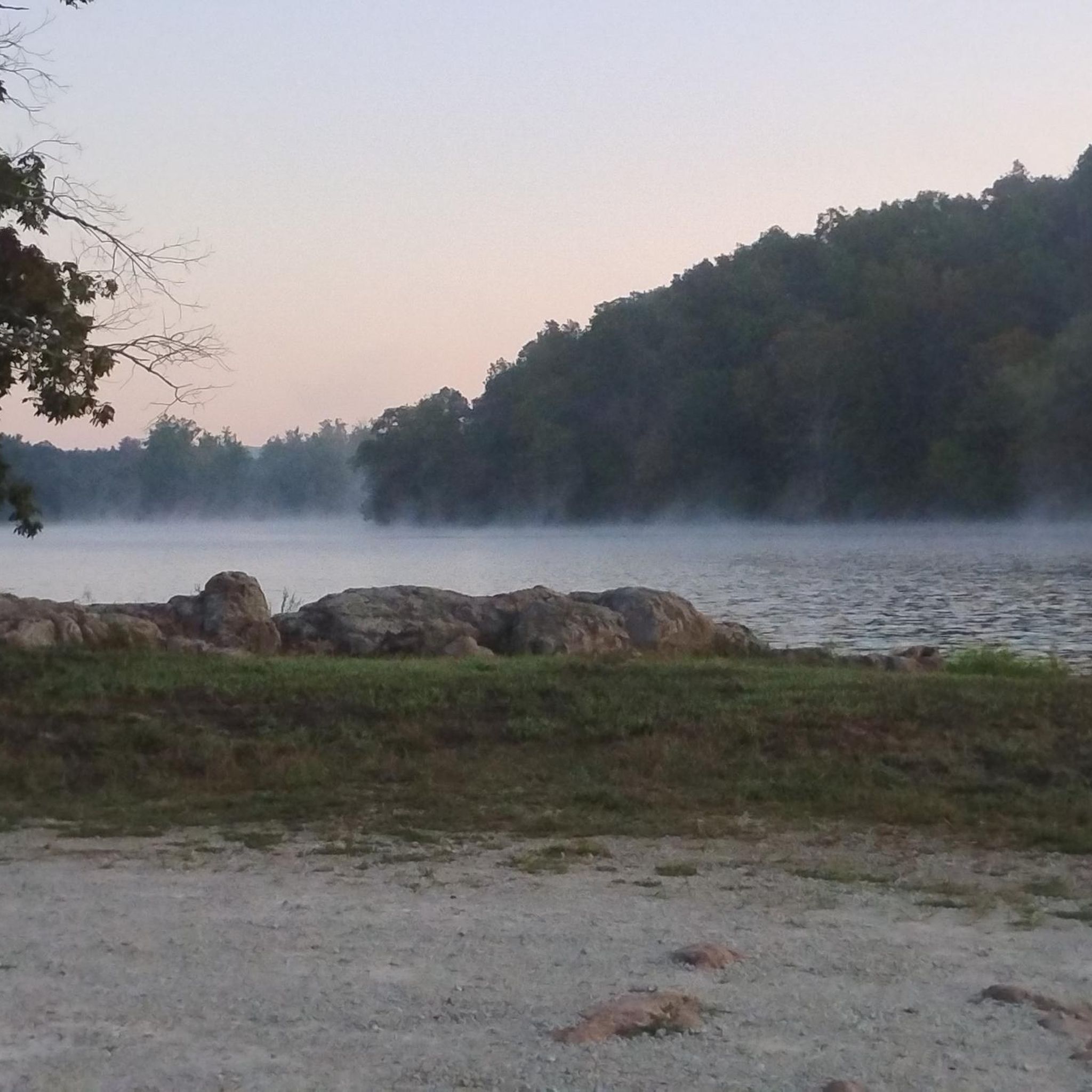

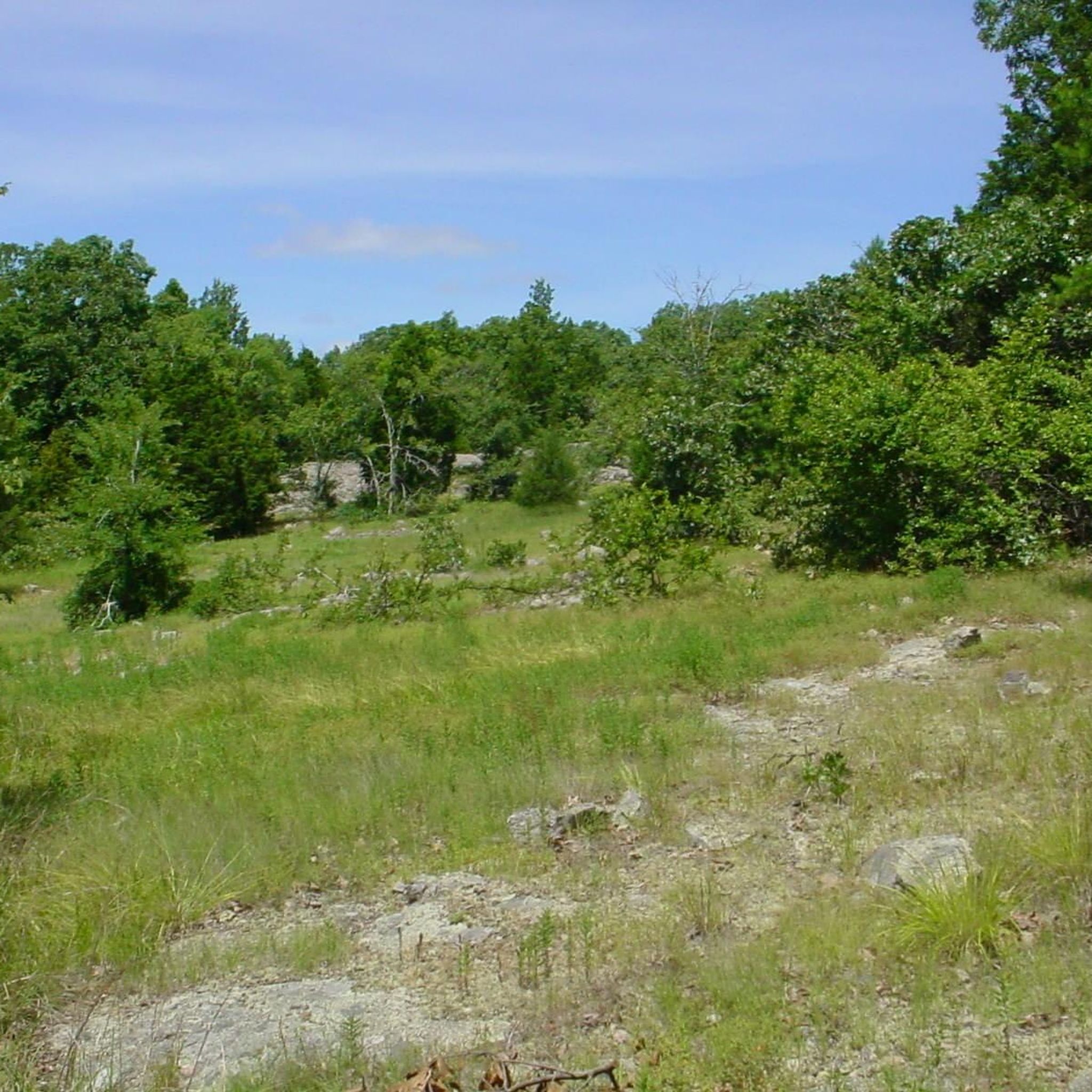
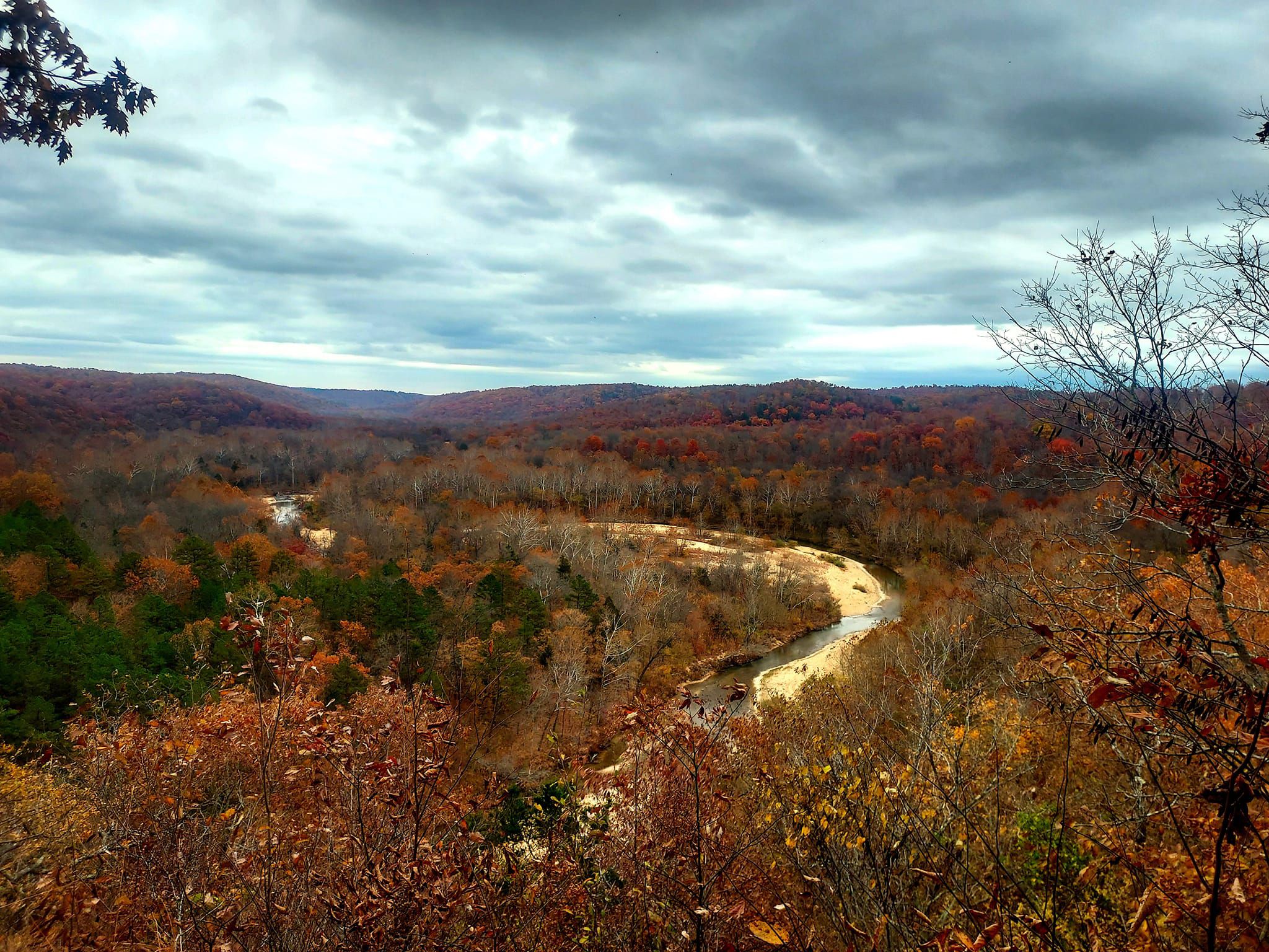
Other adventures in Iron County

Tips from the Community


A rugged trail that travels through Johnson's Shut-Ins State Park. Bluffs with steep drops, steep climbs, and stream crossings make up much of the terrain with great views of the forest from some of the high points along the trail.
0
0
The engine house was originally built to repair trains in the 1890s. It was also used to quarry operations in what is now the state park.
0
0
Located in Taum Sauk Mountain State Park, these falls at 132 feet are the tallest waterfall in Missouri. The view over the top of the waterfall offers an impressive view of the St Francois Mountains.
0
0
Lindsey Mountain is the 2nd highest point in the Bell Mountain Wlderness and offers great views from it's summit.
0
0
This is a 9,143 acre wilderness with Bell Mountain at the highpoint of 1,702 feet. The wilderness has about 12 miles of hiking trails with outstanding views from Bell and Lindsey mountains.
0
0
The elephant rocks are giant boulders that stand end-to-end and look like a train of circus elephants. The rocks were formed from 1.5-billion-year-old granite,
0
0
At 440 acres this is the largest lake in the Mark Twain National Forest. The lake is formed by the Council Bluff Dam across the BIg River in 1981.
0
0
Frequently Asked Questions
How many hiking trails are available in Iron County, Missouri?
Iron County, Missouri, offers a diverse selection of over a dozen hiking trails. These routes cater to various skill levels, with 6 easy, 7 moderate, and 1 difficult trail, primarily located within the Mark Twain National Forest.
What kind of terrain will I encounter on hikes in Iron County?
Hiking in Iron County, Missouri, features diverse terrain characterized by dense woodlands, river valleys, and unique geological formations. You'll find forested hills, granite shut-ins, and large igneous rock outcrops, providing a variety of landscapes from gentle riverside paths to more challenging ascents.
Are there any family-friendly hiking trails in Iron County?
Yes, Iron County offers several family-friendly hiking options. For an easy and unique experience, consider the Elephant Rocks State Park loop, which is just under 2.4 km. Another accessible option is the Mina Sauk Falls Trail loop, an easy 4.9 km path leading to Missouri's highest waterfall.
Can I bring my dog on the hiking trails in Iron County?
While many trails in the Mark Twain National Forest are generally dog-friendly, it's always best to check specific regulations for each trail or park unit before you go. Always keep your dog on a leash and practice Leave No Trace principles.
Are there any loop trails for hikers who prefer circular routes?
Yes, Iron County has several excellent loop trails. Popular options include the challenging Bell Mountain Loop Trail, offering panoramic views, and the Shut-Ins Trail loop, which takes you through unique granite rock formations. For a moderate option, try the Goggins Mountain Trail loop.
What natural features or landmarks can I see along the hiking trails?
Iron County's trails offer access to several notable natural features and landmarks. You can visit Mina Sauk Falls, Missouri's highest waterfall, or explore the unique granite formations at Elephant Rocks. The region is also home to the expansive Mark Twain National Forest, providing dense woodlands and river systems.
What do other hikers enjoy most about hiking in Iron County?
The hiking experience in Iron County is highly rated by the komoot community, with an average score of 4.9 stars. Reviewers often praise the diverse landscapes, from dense woodlands to unique rock formations like the shut-ins, and the opportunity to explore Missouri's highest waterfall.
Are there any trails that feature waterfalls?
Yes, the Mina Sauk Falls Trail loop is specifically known for leading to Mina Sauk Falls, which is Missouri's highest waterfall. It's an easy 4.9 km trail, making it accessible for many hikers.
What is the best time of year to go hiking in Iron County?
While hiking is possible year-round, spring and fall generally offer the most pleasant conditions in Iron County, Missouri. Spring brings lush greenery and flowing waterfalls, while fall showcases vibrant foliage. Summers can be warm and humid, and winters can bring cold temperatures and occasional snow, requiring appropriate gear.
Are there any longer, more challenging hikes for experienced trekkers?
For experienced hikers seeking a challenge, the Bell Mountain Loop Trail is a difficult 19.2 km route with significant elevation gain, offering panoramic views from Bell Mountain. Another moderate to difficult option is the Goggins Mountain Trail loop, spanning over 17 km.
Where can I find unique geological formations like 'shut-ins'?
Iron County is famous for its unique geological 'shut-ins.' The Shut-Ins Trail loop is a 6.5 km path that specifically highlights these granite rock formations and river cascades, offering a distinctive hiking experience.
Are there any trails around lakes or bodies of water?
Yes, you can enjoy hiking around water in Iron County. The Council Bluff Lake loop offers a moderate 18.8 km trail that circles the lake within the Mark Twain National Forest, providing scenic views and a refreshing experience.
Most popular routes in Iron County
Most popular attractions in Iron County

Get inspired with the komoot mobile app


Didn’t find what you were looking for?
Check out more Hikes throughout Iron County below and find the perfect route in your destination.
Explore more
Browse the best Hikes in other regions.
