The best road cycling routes in Hampden County
4.2
(49)
1,912
riders
159
rides
Road cycling routes in Hampden County, Massachusetts, traverse a varied landscape featuring river valleys, extensive forests, and dedicated cycling infrastructure. The region is characterized by the Connecticut and Westfield Rivers, offering scenic routes alongside waterways. Large tracts of protected open space, including Robinson State Park and Forest Park, provide numerous routes through woodlands. While not mountainous, areas like the Mount Tom Range introduce elevation changes for more challenging rides.
Best road cycling routes in Hampden County
- The most popular road cycling route is Northampton nature loop – road cycling in MA, a 28.5 miles (45.8 km) trail that takes 2 hours 30 minutes to complete. This moderate route offers a scenic journey through natural surroundings.
- Another top favourite among local road cyclists is Springfield to Robinson State Park – road cycling in MA, a moderate 15.9 miles (25.7 km) path. This route connects urban areas with the natural beauty of Robinson State Park.
- Local road cyclists also love the Columbia Greenway Rail Trail – Pinchot Sycamore loop from Westfield, a 42.4 miles (68.2 km) trail leading through a converted rail corridor, often completed in about 3 hours 15 minutes.
- Road cycling in Hampden County is defined by river valleys, diverse forests, and dedicated rail trails. The network offers options for various ability levels, from easy, paved paths to routes with significant elevation gain.
- The routes in Hampden County are highly rated by the komoot community with an average score of 4.0 stars from over 15 reviews. More than 700 road cyclists have used komoot to explore Hampden County's varied terrain.
Last updated: October 1, 2026
2
riders
45.8km
02:31
350m
350m
Moderate road ride. Good fitness required. Some segments of this route may be unpaved and difficult to ride.
25.7km
03:11
170m
170m
Moderate road ride. Good fitness required. Some segments of this route may be unpaved and difficult to ride.

5.0
(3)
60
riders
Easy road ride. Great for any fitness level. Mostly well-paved surfaces and easy to ride.
16
riders
92.8km
04:57
1,280m
1,280m
Hard road ride. Very good fitness required. Mostly well-paved surfaces and easy to ride.
26
riders
31.7km
01:35
180m
180m
Easy road ride. Great for any fitness level. Mostly well-paved surfaces and easy to ride.
5.0
(1)
14
riders
63.7km
02:55
490m
490m
Moderate road ride. Good fitness required. Mostly well-paved surfaces and easy to ride.
8
riders
45.7km
02:04
370m
370m
Moderate road ride. Good fitness required. Mostly well-paved surfaces and easy to ride.
10
riders
45.6km
02:04
390m
390m
Moderate road ride. Good fitness required. Mostly well-paved surfaces and easy to ride.
8
riders
49.4km
02:02
320m
320m
Moderate road ride. Good fitness required. Mostly well-paved surfaces and easy to ride.
7
riders
36.6km
01:37
310m
310m
Moderate road ride. Good fitness required. Mostly well-paved surfaces and easy to ride.
Get access to more routes and recommendations from other explorers.
Already have an account?
Our route recommendations are based on thousands of hikes, rides, and runs completed by other people on komoot.
Start today with a free account
Your next adventure awaits.
Popular around Hampden County
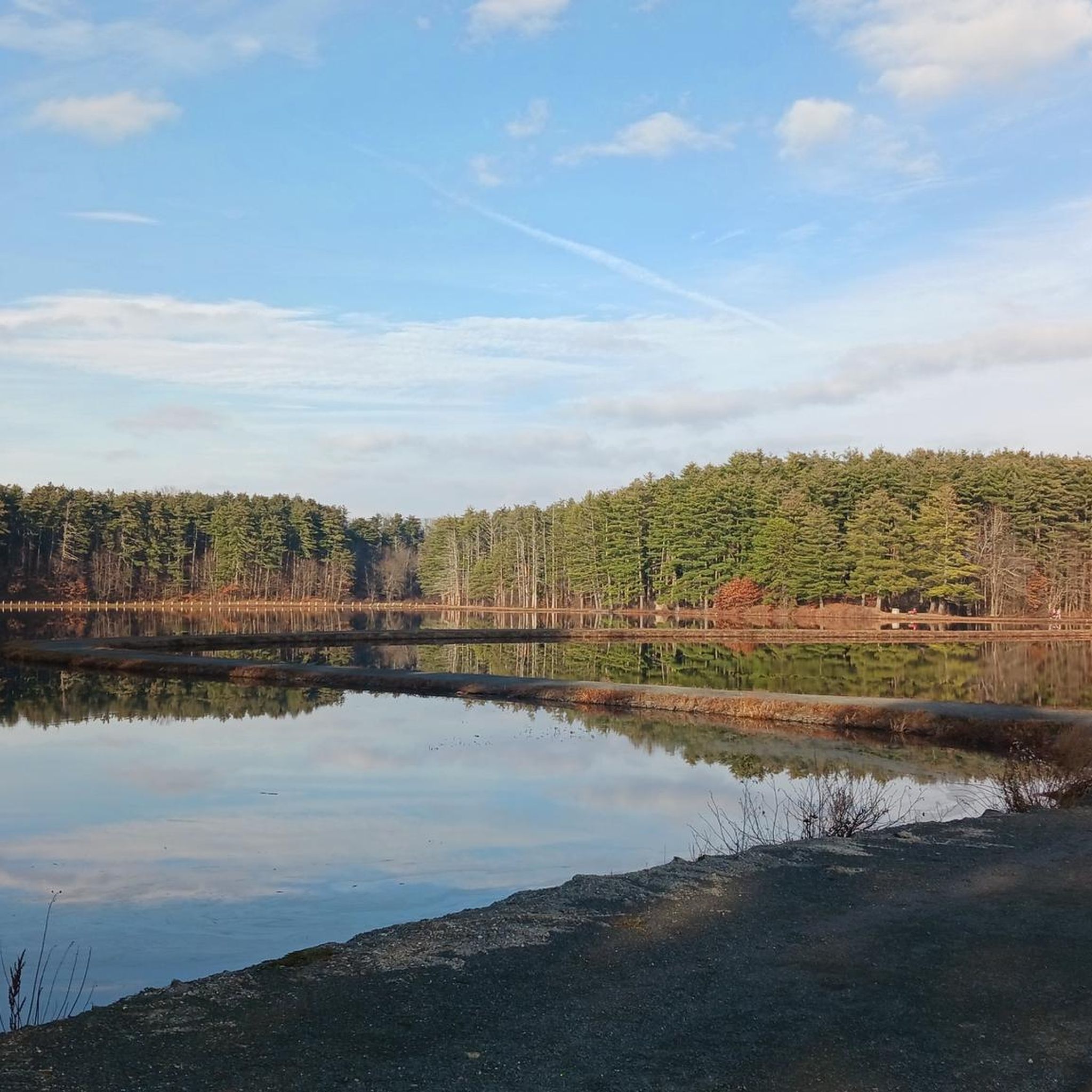
Road Cycling Routes around West Springfield
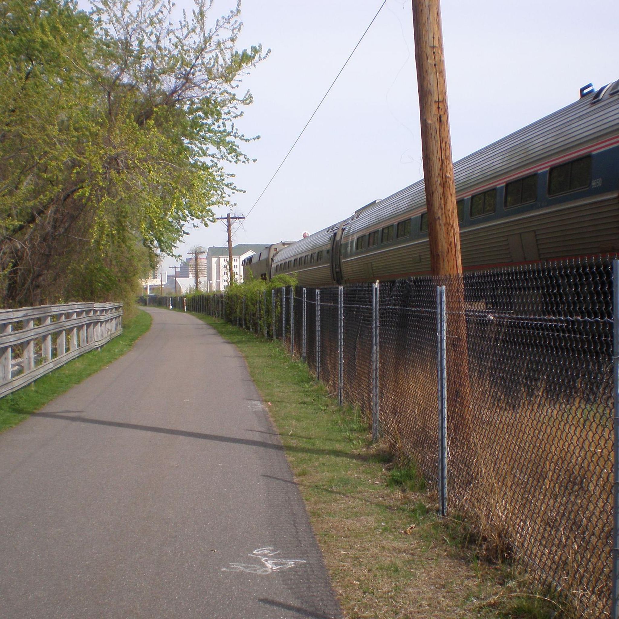
Road Cycling Routes around Chicopee
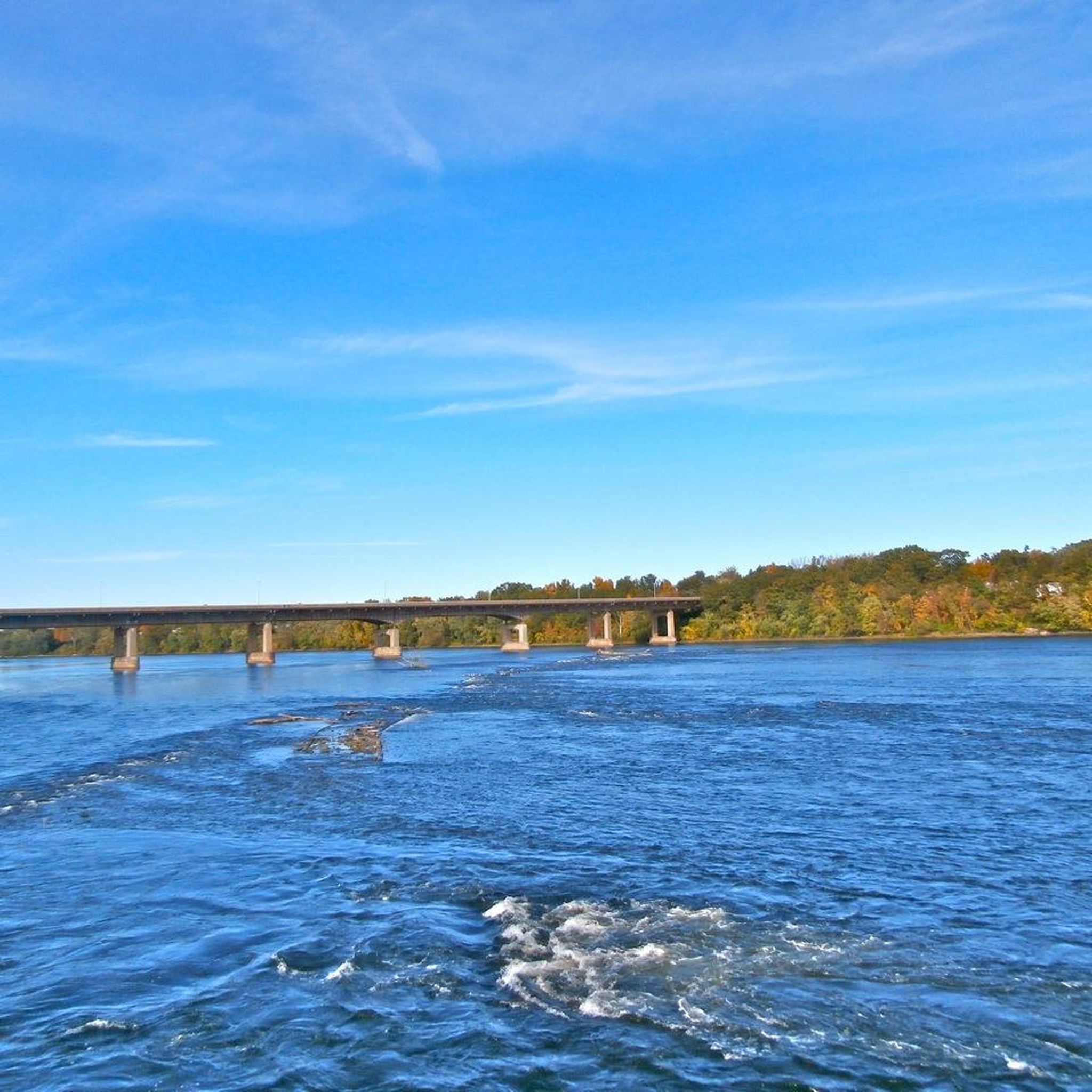
Road Cycling Routes around Holyoke
Road Cycling Routes in Hampton Ponds State Park
Road Cycling Routes in Silvio O. Conte National Wildlife Refuge

Road Cycling Routes around Springfield
Road Cycling Routes around Agawam
Road Cycling Routes in Robinson State Park
Road Cycling Routes around Westfield
Road Cycling Routes around Longmeadow
Tips from the Community

The Farmington Canal Heritage Trail offers a scenic and easy ride through Cheshire and Hamden. These routes begin at the Lock 12 parking lot in Cheshire, following the original canal and rail line. The paved, mostly level trail is easy for biking and walking, with partial shade except during midday. Stretching 56 miles, the trail, along with the Farmington River Trail, forms one of New England’s most picturesque and historic greenways. Running through 11 Connecticut towns, the trail has been designated a Community Millennium Trail for its importance here to local communities.
0
0

This park has a lot going on. Fun to ride through the light display in December, and a variety of events throughout the year, including cyclocross, archery competitions, Highland games; and through it all, walkers and picnickers
0
0

This small natural area is primarily a residential neighborhood, characterized by lush greenery and a pleasing elevation change. It presents an enjoyable and challenging ride to reach this location.
0
0

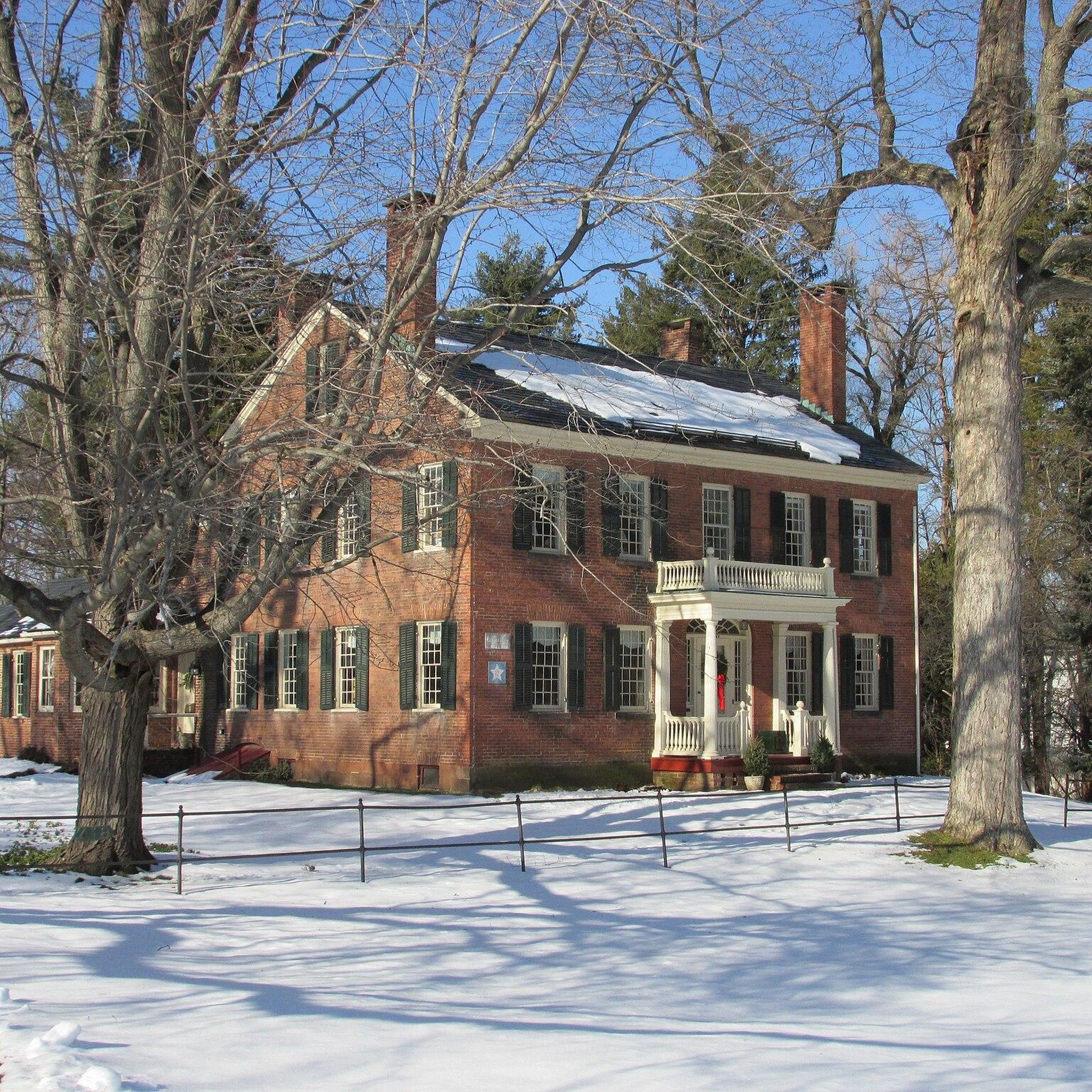
The Longmeadow Street–North Historic District in Longmeadow, Massachusetts, listed on the National Register of Historic Places since 1994, showcases over two centuries of architectural evolution and reflects late 19th-century efforts to preserve its rural, classic-New England atmosphere. Originally part of Springfield, Longmeadow emerged as a separate entity in 1783, primarily focused on agriculture and brownstone quarrying. The shift eastward due to quarrying led to the street's transformation into a residential suburb, facilitated by a streetcar line extension from Springfield in 1896. Today, the district has exemplary residential architecture spanning from the 18th to the 20th century, alongside minimal non-residential structures and a park designed by the renowned Olmsted Brothers firm.
0
0

If you think you are in need of some godly assistance to improve your cycling times, why not visit this quirky shrine in Hampden? It is next to St. Mary's Catholic Church. This quaint, wooden shrine is dedicated to 'Our Lady of Fatima.' It was built in 1954 and is open 24 hours a day.
1
0
Hurds Lake is a small but very beautiful 20-acre freshwater reservoir in Tolland, near the hamlets of North Somers and Baptist Village. It is dammed at the Camp Road end of the lake, where it also happens to be the best viewpoint to look out over the water. If you are passing on your bike, this makes for just the best break spot.
1
0
The Connecticut River Watershed is a sprawling land area of 7.2 million acres that is spread over five states. It is a watershed area that is important in the lives of millions of Americans who live within its varied boundaries. All told, the watershed enables the provision of drinking water for around 4.8 million people. The land that surrounds Whitney Reservoir is but one of the many individual dispersed watershed areas. Here, along the Old Springfield Road, you will be able to cycle through a pristine forest environment on quiet country roads, with nothing but you and the trees for company.
1
0
Riders cross over the Westfield River on the Valley View Avenue Bridge. This is a metal bridge with metal sheets as the floor instead of asphalt. The bridge is 420 feet long, was built in 1987, and is in the style of a Bailey pony truss bridge.
0
0
Frequently Asked Questions
How many road cycling routes are available in Hampden County?
Hampden County offers a wide selection of road cycling routes, with over 140 tours available for exploration. These routes cater to various skill levels, from easy, paved paths to more challenging rides with significant elevation gain.
What kind of terrain can I expect on road cycling routes in Hampden County?
Road cycling in Hampden County features a diverse landscape. You'll find picturesque routes along river valleys like the Connecticut and Westfield Rivers, extensive forests in areas such as Robinson State Park and Forest Park, and dedicated rail trails. While not mountainous, areas around the Mount Tom Range offer elevation changes for those seeking more challenging climbs.
Are there easy road cycling routes suitable for beginners or families?
Yes, Hampden County has several easy road cycling routes. The region's dedicated paved bike paths and rail trails are ideal for beginners and families. For instance, the Roadbike loop from Congamond is an easy 21.6-mile route, and the Columbia Greenway Rail Trail loop from Westfield offers another accessible 19.6-mile option.
Where can I find routes with significant elevation gain for a more challenging ride?
For road cyclists seeking more challenging rides with elevation gain, Hampden County offers routes that venture into hillier terrain. The Castle Hill – Knowles Hill loop from Westfield State University is a difficult 59.1-mile route with over 4,300 feet of ascent, providing a substantial challenge.
What are some scenic highlights or landmarks I can see along the road cycling routes?
Many road cycling routes in Hampden County offer scenic views and pass by notable landmarks. You can cycle alongside the Connecticut River, through diverse forests, and past various lakes and reservoirs. Highlights include Ashley Reservoir, Bray Lake, and the expansive Forest Park. Some routes also offer views of Mount Nonotuck.
Are there any long-distance road cycling routes in Hampden County?
Yes, Hampden County features several longer road cycling routes for endurance riders. The Mount Tom State Reservation – Norwottuck Rail Trail Bridge loop from Holyoke is a moderate 67.4-mile route, and the Court Square Park – Columbia Greenway Rail Trail loop from Springfield Union Station covers 56.8 miles, offering extended rides through varied landscapes.
What do other road cyclists enjoy most about road cycling in Hampden County?
The road cycling routes in Hampden County are highly rated by the komoot community, with an average score of 4.0 stars from over 15 reviews. Cyclists often praise the region's diverse scenery, from river views to tranquil woodlands, and the well-maintained dedicated cycling infrastructure like the rail trails.
Are there any circular road cycling routes available?
Yes, many road cycling routes in Hampden County are designed as loops, allowing you to start and end at the same point. Examples include the popular Northampton nature loop – road cycling in MA, a 28.5-mile moderate ride, and the Columbia Greenway Rail Trail – Pinchot Sycamore loop from Westfield, which is 42.4 miles long.
Can I find cafes or pubs along the road cycling routes in Hampden County?
Many road cycling routes in Hampden County pass through or near towns and urban areas, providing opportunities to stop at cafes, pubs, or restaurants. Routes that utilize the Columbia Greenway Rail Trail or the Connecticut River Walk and Bikeway often have amenities accessible nearby in towns like Westfield and Springfield.
What is the best season for road biking in Hampden County?
The best seasons for road biking in Hampden County are typically spring, summer, and fall. These months offer pleasant temperatures and vibrant scenery, especially in autumn when the foliage is at its peak. While winter riding is possible, conditions can be challenging due to snow and ice, particularly on less-maintained roads.
Are there specific parks or areas known for good road cycling infrastructure?
Hampden County boasts excellent cycling infrastructure. The **Connecticut River Walk and Bikeway** offers easy, paved paths with river views. The **Columbia Greenway Rail Trail** is another prime example of a dedicated, mostly paved route. Additionally, parks like **Robinson State Park** and **Forest Park** provide numerous routes within their boundaries, suitable for road cycling.
Is public transport available to access road cycling routes in Hampden County?
Public transport options are available in Hampden County, particularly in larger cities like Springfield and Westfield. Some bus services may accommodate bicycles, allowing access to trailheads or starting points for routes like the Columbia Greenway Rail Trail or those near the Connecticut River Walk and Bikeway. It's advisable to check specific transit provider policies regarding bikes.
Most popular routes in Hampden County
Most popular attractions in Hampden County

Get inspired with the komoot mobile app


Didn’t find what you were looking for?
Check out more Road cycling routes throughout Hampden County below and find the perfect route in your destination.
Explore more
Browse the best Road cycling routes in other regions.
