The best road cycling routes in Berkshire County
4.7
(29)
1,975
riders
251
rides
Road cycling routes in Berkshire County traverse a landscape characterized by majestic mountains, rolling hills, and the Housatonic River Valley. The region's undulating terrain provides a mix of challenging climbs and descents, alongside more gentle paths. Natural features like Mount Greylock, the highest point in Massachusetts, and numerous lakes and rivers define the area's diverse geography. This environment offers varied experiences for road cyclists.
Best road cycling routes in Berkshire County
- The most popular road cycling route is Ashuwillticook Rail Trail, an easy 27.4 miles (44.0 km) trail that takes 1 hour 47 minutes to complete. This paved rail trail offers scenic views of the Hoosic River Valley.
- Another top favourite among local road cyclists is Ashuwillticool Trail – Ashuwillticook Rail Trail Head loop from North Adams, a moderate 33.4 miles (53.8 km) path. This route provides a longer loop experience around the northern part of the county.
- Local road cyclists also love the Mount Greylock – Cheshire Reservoir loop from Lanesborough, a 41.2 miles (66.3 km) trail leading through mountainous terrain, often completed in about 3 hours 26 minutes.
- Road cycling in Berkshire County is defined by majestic mountains, rolling hills, and the Housatonic River Valley. The network offers options for various ability levels, from easy rail trails to difficult mountain ascents.
- The routes in Berkshire County are highly rated by the komoot community with an average score of 4.7 stars from over 30 reviews. More than 1900 road cyclists have used komoot to explore Berkshire County's varied terrain.
Last updated: July 22, 2026
5.0
(8)
121
riders
44.0km
01:47
200m
200m
The Ashuwillticook Rail Trail offers a delightful journey through the Hoosac River Valley, providing smooth, paved surfaces perfect for road cycling. You'll glide past the serene Cheshire Reservoir and the winding Hoosic River, with constant views of the majestic Hoosac Mountains and Mount Greylock. Keep an eye out for local wildlife like ducks, geese, and even eagles as you enjoy the gentle scenery.
This easy 27.4-mile (44.0 km) route, with only 651 feet (198 metres) of elevation gain, is suitable for all skill levels and takes about 1 hour and 47 minutes to complete. Multiple access points with parking and restrooms are available along the trail, making it easy to start your ride. It's a fantastic option for a leisurely outing, especially during the vibrant fall foliage season.
Converted from an old railroad line, the Ashuwillticook Rail Trail is a well-maintained, multi-use path that connects towns like Pittsfield, Lanesborough, and Adams. Its name, derived from an American Indian term meaning "pleasant river in between the hills," perfectly captures the charm of its surroundings. The trail even intersects with the Appalachian Trail in Cheshire, offering a unique point of interest.
5.0
(7)
125
riders
Moderate road ride. Good fitness required. Mostly well-paved surfaces and easy to ride.

Sign up for free
5.0
(6)
121
riders
If you're looking for a long, easy road cycling route with stunning views, the Cheshire Reservoir – Ashuwillticook Rail Trail Head loop delivers. This 28.8-mile (46.3 km) ride, with a minimal 522 feet (159 metres) of elevation gain, takes you through the scenic Hoosac River Valley, offering extensive views of the Cheshire Reservoir and Berkshire Pond, often with Mount Greylock in the distance. Expect smooth, paved surfaces and a chance to spot local wildlife in the wetlands and forested areas.
Starting from the Western District HQ in Pittsfield, this loop connects to the Ashuwillticook Rail Trail, which is known for its accessibility and well-maintained path. You'll find amenities like parking and seasonal restrooms at various trailheads along the rail trail. This route is best enjoyed during the warmer months, particularly in autumn when the foliage provides a spectacular backdrop.
The Ashuwillticook Rail Trail is a prime example of a successful rail-to-trail conversion, providing a level grade that makes it accessible for all ages and abilities. Its path alongside the Cheshire Reservoir and Hoosic River makes it a favored spot for birdwatching, with opportunities to see ducks, geese, and even ospreys. This route offers a unique blend of natural beauty and historical significance, making it a standout road cycling option in the Berkshires.
49
riders
66.3km
03:26
1,060m
1,060m
Hard road ride. Very good fitness required. Mostly well-paved surfaces and easy to ride.
41
riders
61.3km
03:07
1,030m
1,030m
The Ashuwillticook Rail Trail Head – Cheshire Reservoir loop from Adams offers a varied and rewarding road cycling experience. You'll start on the pristine, paved Ashuwillticook Rail Trail, enjoying flat, scenic stretches through the Hoosic River valley with views of Mount Greylock and the tranquil Cheshire Reservoir. However, don't let the rail trail fool you; this is a difficult 38.1-mile (61.2 km) loop with a substantial 3370 feet (1027 metres) of elevation gain, making it a true test for road cyclists. Expect to spend around 3 hours and 6 minutes navigating its diverse terrain, from smooth asphalt to challenging climbs around the reservoir.
To tackle this loop, plan your visit during fair weather, as the significant elevation gain can be more demanding in adverse conditions. The trailhead in Adams provides convenient parking, making it easy to start your adventure. While the rail trail sections are generally easy, the overall difficulty of the Ashuwillticook Rail Trail Head – Cheshire Reservoir loop cycling means you should be well-prepared with appropriate gear and hydration for the longer, more strenuous sections.
This route stands out for its blend of natural beauty and historical context. The Ashuwillticook Rail Trail follows a former railroad bed, offering glimpses of old mill buildings and varied landscapes including wetlands and forests. The Cheshire Reservoir section is particularly noted for its tranquil beauty and opportunities to spot wildlife like osprey and herons. The town of Adams even embraces the trail with unique local charm, featuring banners depicting a black bear riding a bicycle, a nod to both the trail and local wildlife.
3.0
(1)
41
riders
57.1km
02:29
510m
510m
Moderate road ride. Good fitness required. Mostly well-paved surfaces and easy to ride.
33
riders
63.4km
03:23
1,080m
1,080m
Hard road ride. Very good fitness required. Mostly well-paved surfaces and easy to ride.
29
riders
59.8km
03:19
1,060m
1,060m
This challenging road cycling loop takes you from the cultural hub of the Clark Art Institute in Williamstown directly into the heart of the Berkshire Mountains, culminating in the formidable ascent of Mount Greylock. You'll experience a dramatic shift from scenic, rolling roads to the steep, winding climb through deep woods, with the reward of panoramic vistas from Massachusetts' highest peak. The route offers a unique blend of athletic endeavor and picturesque New England scenery, making it a memorable ride for those seeking a true test.
Planning your visit means preparing for a serious climb; Mount Greylock is renowned as the state's toughest. While the paved roads are generally well-maintained, the descent, especially on Notch Road, demands caution due to its steep grades and hairpin turns. There are no specific permits required for cycling, but always check local conditions and weather, particularly during shoulder seasons, as mountain weather can be unpredictable. Starting your ride early in the day is advisable to make the most of daylight and avoid potential afternoon traffic.
What makes this route truly stand out is its combination of a world-class art institution and an iconic natural landmark. The Clark Art Institute's beautiful campus provides a serene starting point, contrasting with the rugged, forested slopes of Mount Greylock. This loop isn't just about the physical challenge; it's an opportunity to connect with both the cultural and natural heritage of the Berkshires, offering stunning viewpoints towards the New York border and the Green Mountains of Vermont from the summit.
33
riders
39.1km
02:19
910m
910m
The Mount Greylock loop from The Clark Art Institute offers a demanding road cycling adventure, leading you through the scenic Mount Greylock State Reservation. You'll navigate winding roads and deep woods before the landscape opens up to reveal expansive panoramic views from the summit, a truly rewarding experience for any cyclist. This difficult route covers 24.3 miles (39.1 km) with a substantial 2993 feet (912 metres) of elevation gain.
Plan your ride between late May and mid-October, as the summit roads are typically closed outside these months. Starting from The Clark Art Institute provides convenient parking, but remember that conditions at the summit can be much colder and windier than at the base. It's wise to pack a windbreaker for the descent, which features steep sections and hairpin turns requiring your full attention.
This route takes you to the highest point in Massachusetts, making it an iconic climb for road cyclists. The historic Bascom Lodge at the summit offers a place to rest and enjoy the views, adding to the experience. The area's cultural connection, with The Clark Art Institute as your starting point, blends art and nature seamlessly.
33
riders
21.3km
01:23
640m
640m
The Mount Greylock loop from Mount Williams offers a challenging road cycling experience to the highest point in Massachusetts. You'll climb through dense forests, with the scenery gradually opening up to reveal expansive views of the surrounding Berkshire landscape. The route is a true test of your legs, culminating in the panoramic vistas from the summit, where the impressive Veterans War Memorial Tower stands.
Planning your ride requires attention to seasonal closures, as the roads to Mount Greylock are inaccessible during winter and typically reopen in late spring. Be prepared for significant elevation gain, with 2106 feet (642 metres) over 13.2 miles (21.3 km), and pack a windbreaker for the descent, as temperatures at the summit can be much cooler. The estimated duration for this moderate route is 1 hour and 23 minutes.
This iconic climb is renowned as the hardest bike ascent in Massachusetts, making it a must-do for advanced cyclists seeking a serious workout. The summit is not only home to the Memorial Tower but also crossed by the famous Appalachian Trail, adding to its allure as a significant landmark in the region. It's a rewarding journey for those who appreciate both a physical challenge and breathtaking natural beauty.
Get access to more routes and recommendations from other explorers.
Sign up for free
Already have an account?
Our route recommendations are based on thousands of hikes, rides, and runs completed by other people on komoot.
Start today with a free account
Your next adventure awaits.
Login or Signup
Popular around Berkshire County
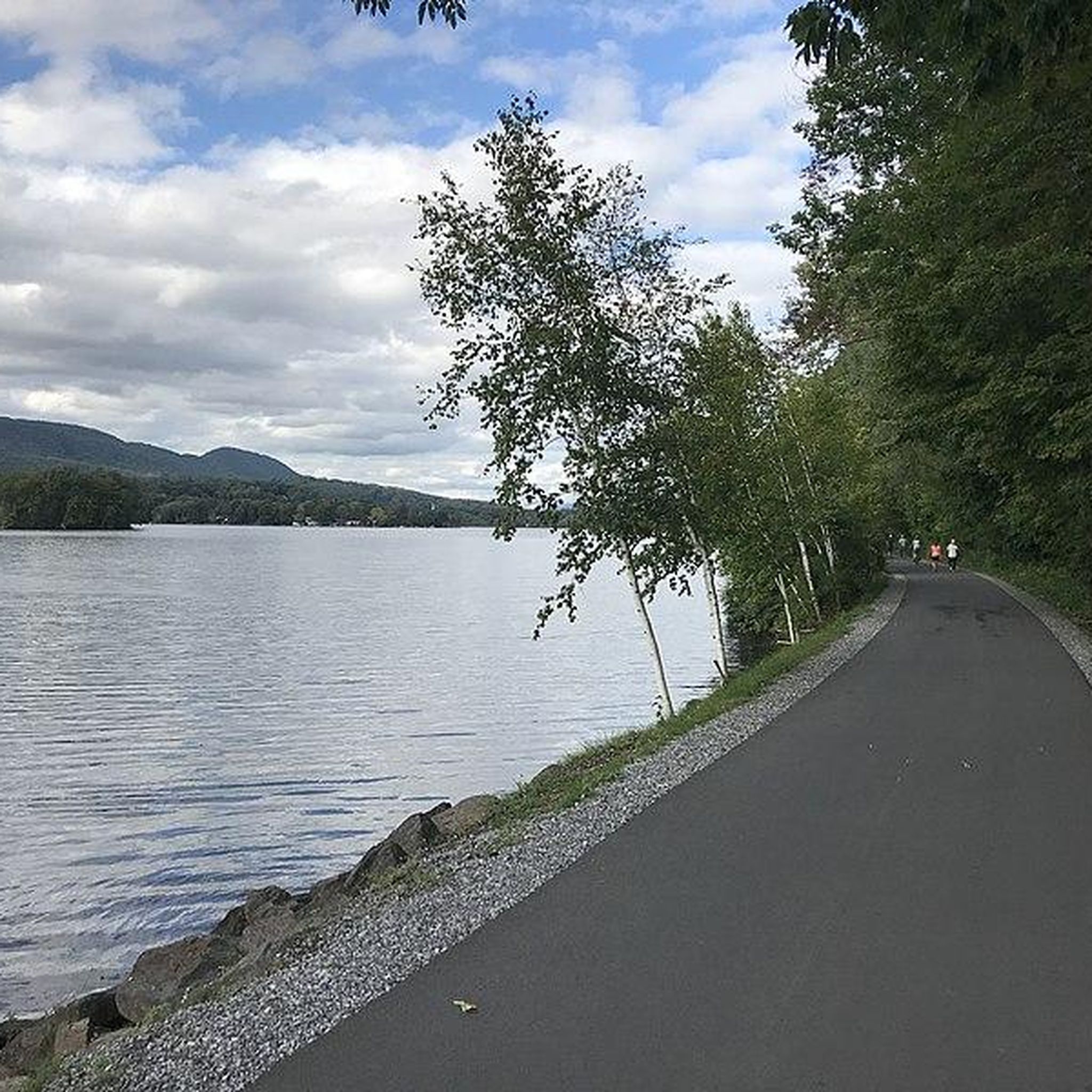
Road Cycling Routes around Pittsfield
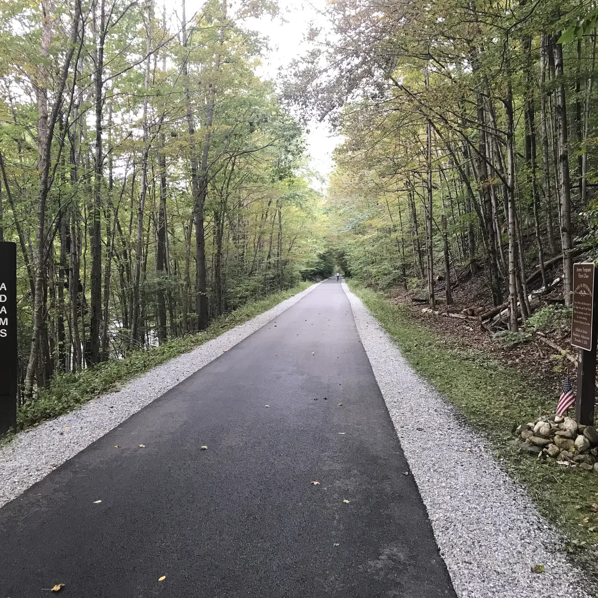
Road Cycling Routes around North Adams

Road Cycling Routes in Mill Brook Reservoir
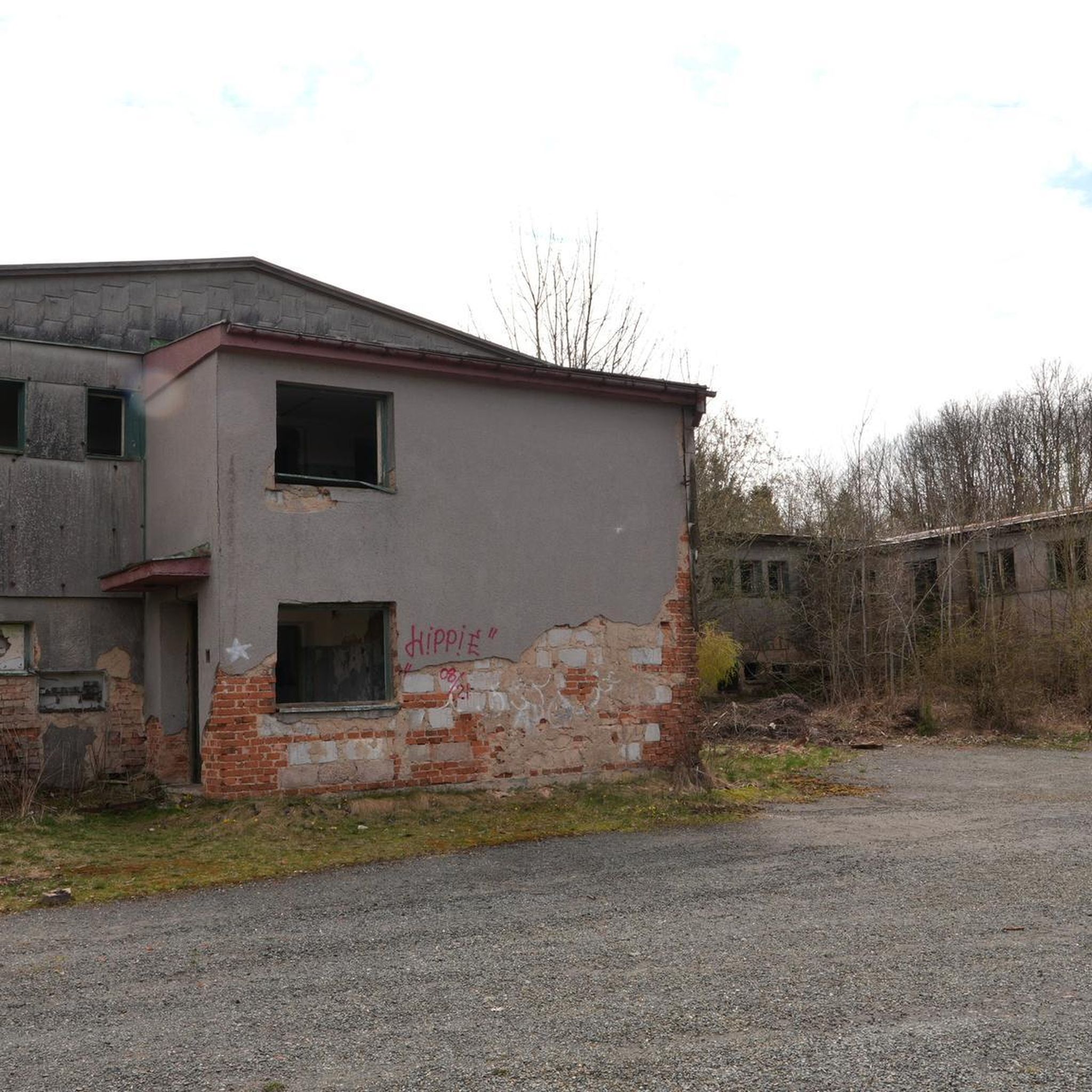
Road Cycling Routes in Hopkins Memorial Forest

Road Cycling Routes in Taconic Trail State Forest
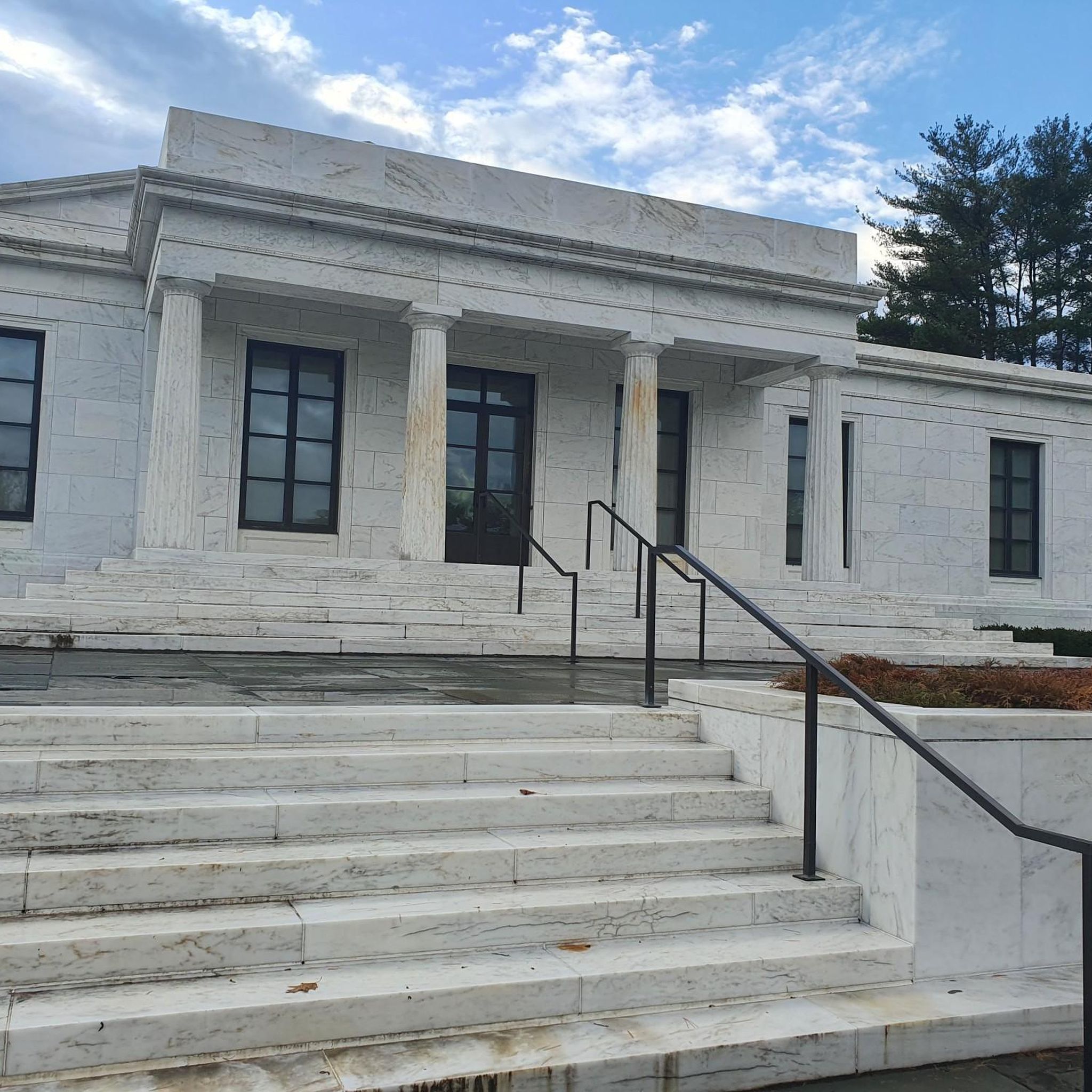
Road Cycling Routes around Williamstown
Road Cycling Routes in Savoy Mountain State Forest
Road Cycling Routes in Clarksburg State Forest

Road Cycling Routes in East Mountain State Forest
Road Cycling Routes in Wahconah Falls State Park

Tips from the Community

This is the most beautiful rail trail in Massachusetts hands down.
0
0

Converted from an old railroad track, the Ashuwillticook Rail Trail is now a 10 foot wide, 14.2 mile, paved multi use trail meandering along the Cheshire Reservoir while offering sublime views of Mt. Greylock.
0
0
Located just north of Adams, the Ashuwillticook Rail Trail Head sets a lovely tone for the rest of your ride along the trail, perfectly smooth and easy to use for families.
0
0


Here's the Trail Head of the Ashuwillticook Rail Trail. The trail is perfectly smooth and easy to use for families.
0
0

Cheshire Reservoir captivates riders with its tranquil beauty. The scenic reservoir, nestled in the Berkshires, offers stunning views along the route. Cyclists can enjoy a peaceful ride surrounded by nature, appreciating the serenity of Cheshire Reservoir as a highlight of their cycling experience.
0
0

The Clark Art Institute is an art museum in Williamstown, Massachusetts, that houses an exceptional collection of European and American art. Notable for its emphasis on 19th-century French Impressionist and Academic paintings, the institute boasts works by renowned artists like Pierre-Auguste Renoir, John Singer Sargent, Edgar Degas, and Winslow Homer, among others. The beautiful campus, set in the picturesque Berkshires, includes the original Clark Center, Manton Research Center, and the Stone Hill Center designed by Tadao Ando. Apart from exhibitions, The Clark offers academic programs, research opportunities, and hosts diverse events.
1
0
Frequently Asked Questions
What kind of terrain can I expect on road cycling routes in Berkshire County?
Berkshire County offers a diverse landscape for road cycling. You'll find majestic mountains and rolling hills providing exhilarating challenges with steep climbs and descents, as well as more gentle, paved rail trails. The region's undulating terrain ensures varied experiences for all cyclists.
Are there road cycling routes suitable for beginners or families in Berkshire County?
Yes, Berkshire County has routes suitable for all fitness levels. For an easy, family-friendly option, the Ashuwillticook Rail Trail is a paved, 27.4-mile path offering gentle terrain and scenic views of the Hoosic River Valley. There are 24 easy routes available in the region.
What are some challenging road cycling routes in Berkshire County?
For experienced cyclists seeking a challenge, routes like the Mount Greylock – Cheshire Reservoir loop from Lanesborough offer significant elevation gains, with over 1000 meters of climbing over 41.2 miles. Other difficult routes ascend Mount Greylock, the highest point in Massachusetts, providing demanding climbs and rewarding views. There are 44 difficult routes in the area.
What natural features and scenic viewpoints can I see along road cycling routes?
Road cycling in Berkshire County offers stunning natural beauty. You can enjoy views of the Hoosic River Valley, the Housatonic River Valley, and various lakes like Lake Buel. Routes often provide panoramic vistas from higher elevations, particularly around Mount Greylock, where the Veterans' War Memorial Tower offers expansive views. Other notable features include Bash Bish Falls and Natural Bridge State Park.
Are there any circular road cycling routes in Berkshire County?
Yes, many road cycling routes in Berkshire County are designed as loops, allowing you to start and end in the same location. Examples include the Ashuwillticool Trail – Ashuwillticook Rail Trail Head loop from North Adams and the Cheshire Reservoir – Ashuwillticook Rail Trail Head loop from Western District HQ. These loops provide a comprehensive experience of the local scenery without retracing your path.
What do other road cyclists say about the routes in Berkshire County?
The road cycling routes in Berkshire County are highly rated by the komoot community, with an average score of 4.7 stars from over 30 reviews. Cyclists often praise the region's varied terrain, the scenic beauty of the landscapes, and the well-maintained paths, especially the rail trails.
What notable landmarks or attractions can I visit while road cycling?
Beyond the natural beauty, you can encounter several landmarks. The Veterans' War Memorial Tower at the summit of Mount Greylock is a prominent landmark. The Ashuwillticook Rail Trail itself is a significant feature. You might also pass through charming towns like Great Barrington, Stockbridge, and Lenox, which offer historic homes and local shops.
What is the best time of year for road cycling in Berkshire County?
The Berkshires are beautiful year-round, but road cycling is particularly popular from spring through fall. The fall foliage is renowned for its vibrant colors, making it a spectacular time to ride. Spring and summer offer pleasant temperatures and lush green landscapes. Always check local weather conditions before heading out.
Are there places to eat or drink near the road cycling routes?
Yes, many road cycling routes in Berkshire County pass through or near charming towns like Great Barrington, Stockbridge, Lenox, and Williamstown. These towns often feature local shops, cafes, and restaurants where you can stop for refreshments or a meal during your ride.
Is parking available for road cyclists in Berkshire County?
While specific parking details vary by route, many popular cycling areas, especially rail trailheads like the Ashuwillticook Rail Trail Head, typically offer designated parking facilities. When planning your route, it's advisable to check the starting point for available parking options.
How many road cycling routes are there in Berkshire County?
There are over 230 road cycling routes available in Berkshire County, catering to a wide range of skill levels and preferences. This includes 24 easy routes, 164 moderate routes, and 44 difficult routes.
Are there any long-distance road cycling options in the region?
Yes, Berkshire County offers several longer road cycling routes for those looking for extended rides. Many routes exceed 30 miles, such as the Gould Meadows – Housatonic River Reservoir loop from Tanglewood, which covers approximately 41 miles (66 km), providing ample opportunity for long-distance cycling.
Most popular routes in Berkshire County
Most popular attractions in Berkshire County

Get inspired with the komoot mobile app


Didn’t find what you were looking for?
Check out more Road cycling routes throughout Berkshire County below and find the perfect route in your destination.
Explore more
Browse the best Road cycling routes in other regions.
