The best cycling routes in Contra Costa County
4.7
(270)
4,012
riders
248
rides
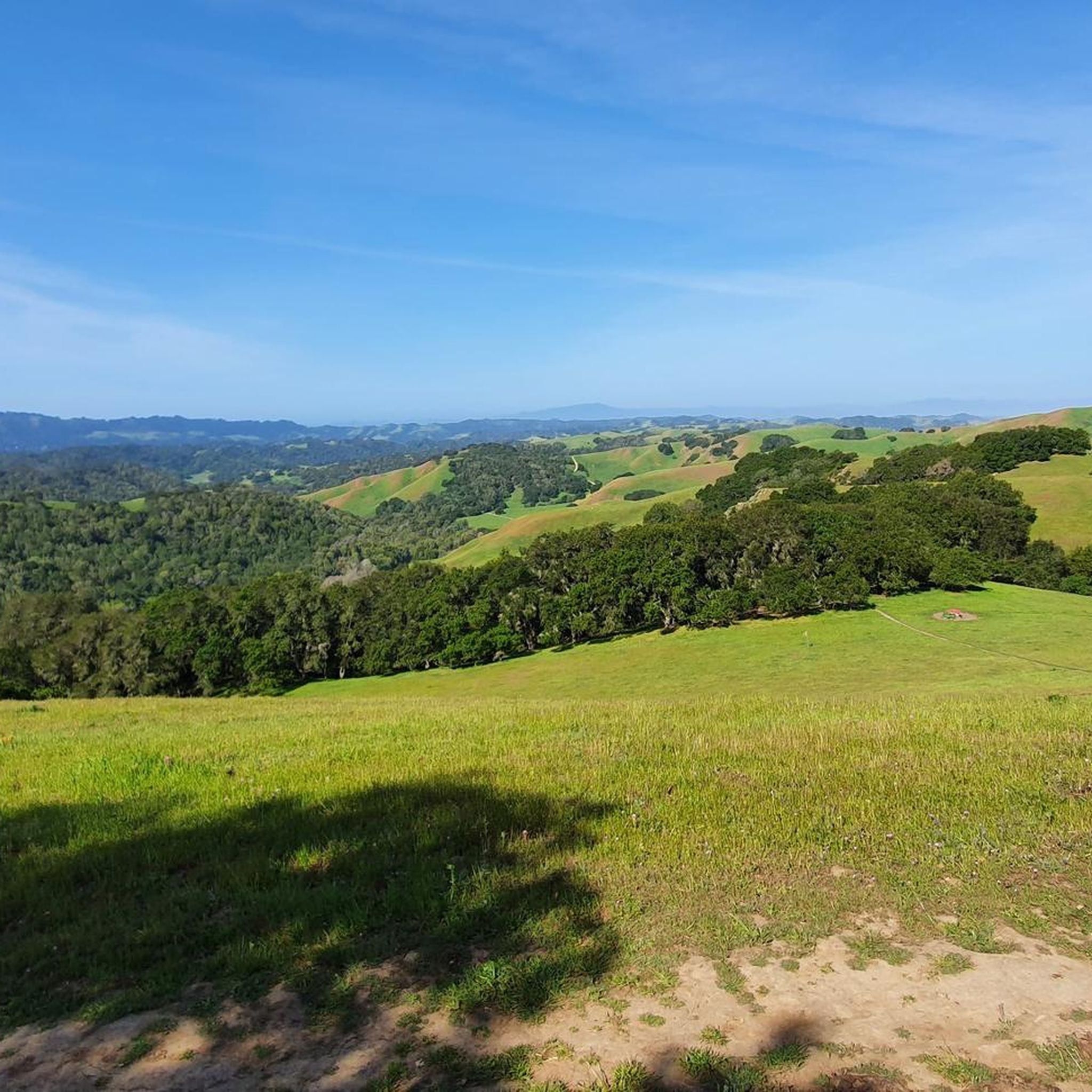
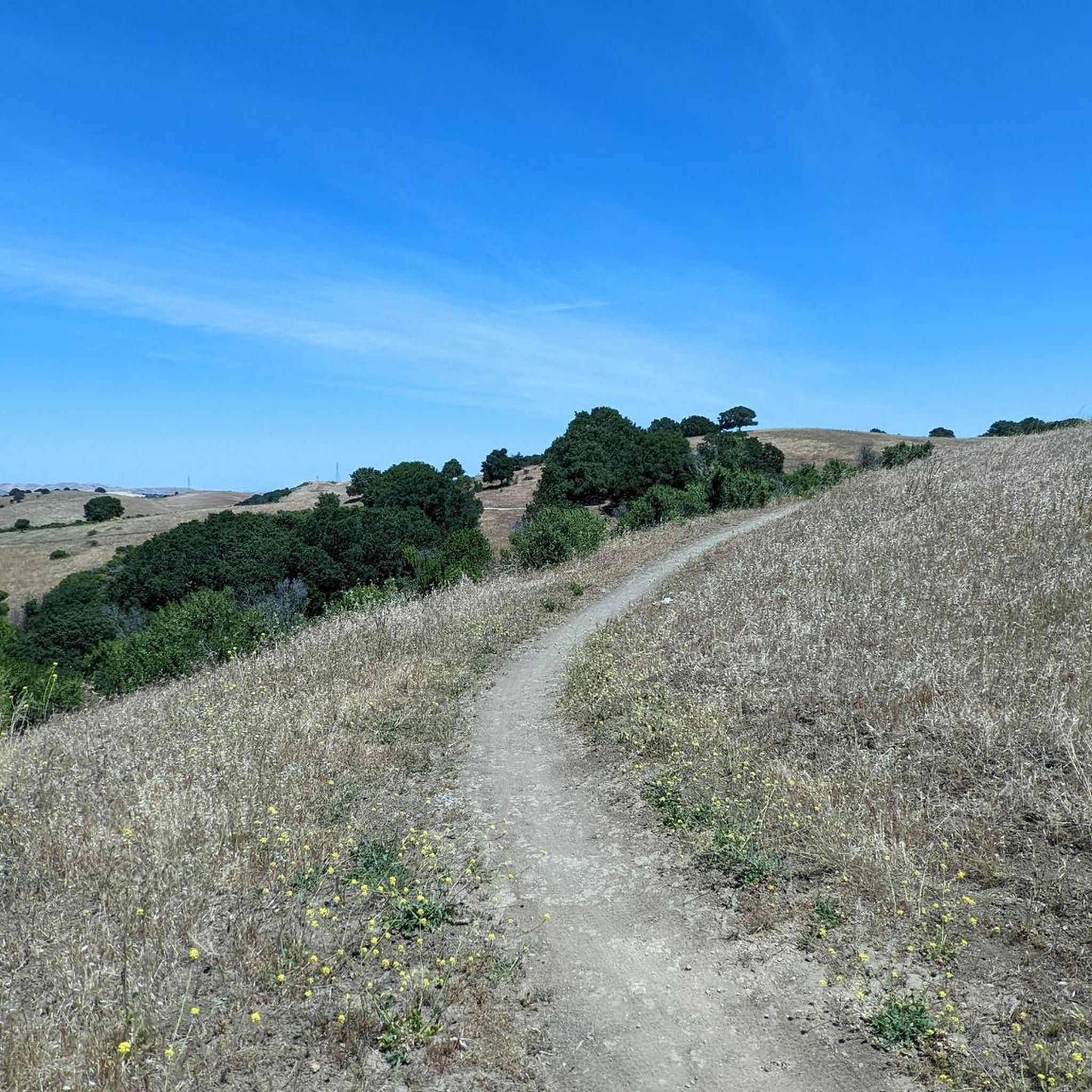
Touring cycling in Contra Costa County offers diverse landscapes, extensive trail networks, and numerous natural attractions. The region features a blend of urban centers and natural beauty, characterized by lush greenery and golden, rolling hills. Prominent features include the challenging ascents of Mount Diablo and the tranquil waterways of the San Joaquin River Delta. The county also provides an extensive network of multi-use trails and regional parks with dedicated cycling paths.
Best touring cycling routes in Contra Costa County
- The most popular touring cycling route is Three Bears Loop, a 23.5 miles (37.9 km) trail that takes 2 hours 37 minutes to complete. This route features varied terrain with significant elevation changes.
- Another top favourite among local touring cyclists is Mount Diablo via North Gate and Summit Roads, a difficult 10.4 miles (16.8 km) path. This route offers a challenging climb to the summit of Mount Diablo.
- Local touring cyclists also love the Mount Diablo and Iron Horse Trail Loop, a 33.1 miles (53.2 km) trail leading through both mountainous terrain and a paved rail-trail, often completed in about 3 hours 33 minutes.
- Touring cycling in Contra Costa County is defined by rolling hills, the iconic Mount Diablo, and extensive multi-use trails. The network offers options for easy, moderate, and difficult routes, catering to various ability levels.
- The routes in Contra Costa County are highly rated by the komoot community with an average score of 4.7 stars from over 270 reviews. More than 4000 touring cyclists have used komoot to explore Contra Costa County's varied terrain.
Last updated: August 18, 2026
5.0
(5)
92
riders
37.9km
02:38
680m
600m
Embark on the Three Bears Loop, a difficult touring cycling route spanning 23.5 miles (37.9 km) with a significant elevation gain of 2219 feet (676 metres). You can expect to complete this challenging ride in about 2 hours and 37 minutes. As you pedal, you will pass through idyllic backcountry scenery, enjoying views of the San Pablo Reservoir and rolling hills, with a notable vista of the Briones Reservoir along Bear Creek Road. The route features a mix of tree-lined sections and open, unshaded roads, providing a varied experience.
When planning your ride, be aware that while the road surface is mostly paved, you might encounter gravel and debris, especially on descents. Given the lack of shade on some of the climbs, remember to carry plenty of water and snacks to stay hydrated. For the best experience of the route's famous climbs, it is recommended that you ride the loop in a clockwise direction. This will help you tackle the 'bears' as intended.
This well-known East Bay ride is particularly famous for its challenging climbs, affectionately known as the 'three bears': Mama Bear, Papa Bear, and Baby Bear. These distinct and demanding ascents are all found on Bear Creek Road, making the route a true test of endurance for touring cyclists. The unique sequence of these climbs sets the Three Bears Loop apart as a notable and rewarding cycling adventure in the region.
6
riders
16.8km
02:06
1,000m
50m
Embark on a challenging touring bicycle ride up Mount Diablo via North Gate and Summit Roads. This difficult route spans 10.4 miles (16.8 km) and demands a significant effort, with an elevation gain of 3268 feet (996 metres). As you climb, the paved road winds past ranch buildings and pastures, gradually revealing increasingly spectacular scenic vistas. You can expect to complete this ascent in about 2 hours and 6 minutes, pushing yourself on one of the Bay Area's toughest climbs.
When planning your visit, remember that this route is located within Mount Diablo State Park. Cyclists are exempt from paying park entrance fees, which is a nice bonus. Be prepared for varying temperatures and potential strong winds as you approach the summit. It is crucial to bring plenty of water, as much of the route is exposed to the sun, especially during warmer months. Traffic on North Gate Road is generally light, but always stay alert.
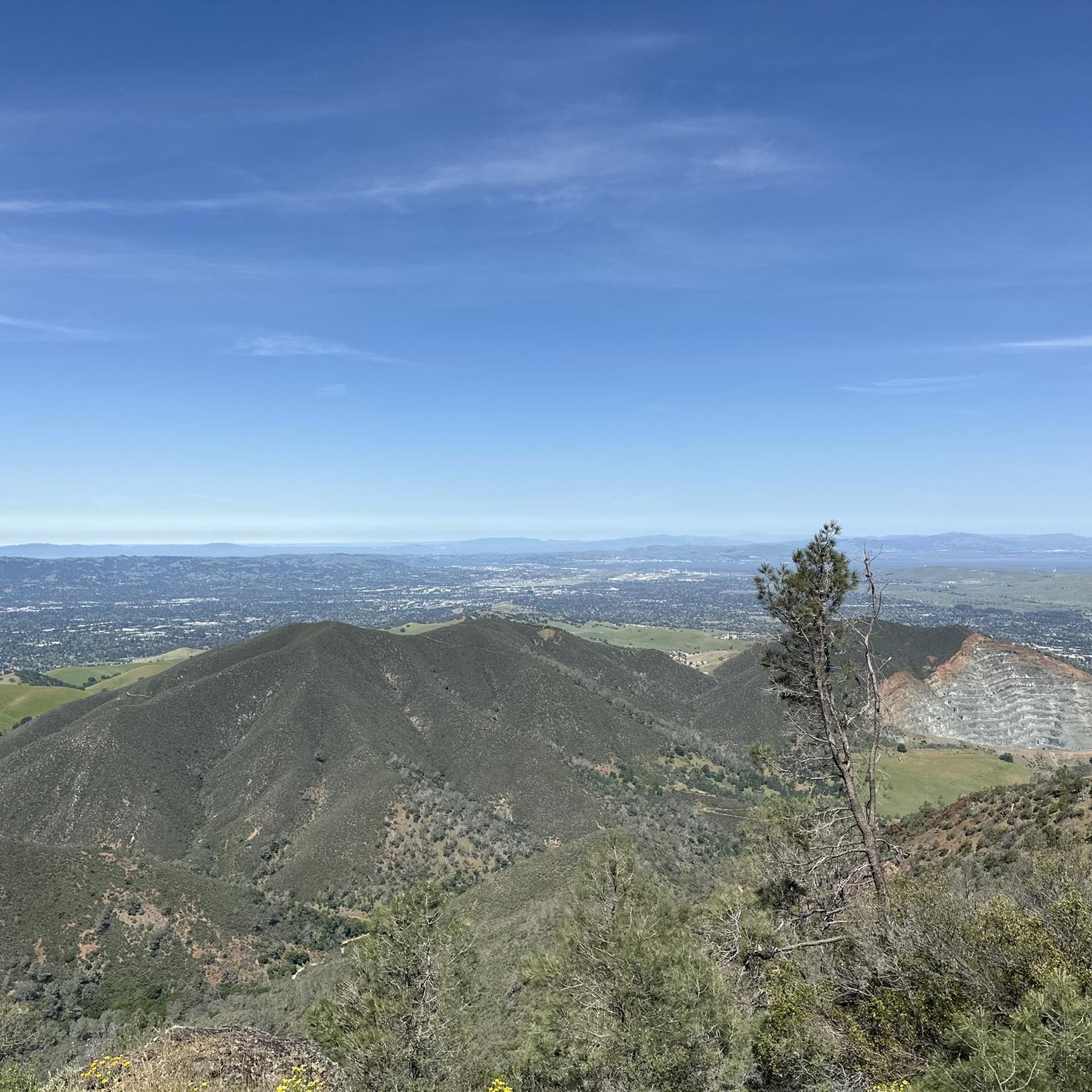
The reward for your strenuous effort is a breathtaking 360-degree panorama from the Mount Diablo Summit. On a clear day, the views extend up to 200 miles in all directions, offering glimpses of the entire Bay Area, the vast Central Valley, and even the snowcapped Sierra Nevada mountains. This unique vantage point makes the climb a truly memorable experience, showcasing the diverse landscapes of California from a single peak.

Sign up for free
5.0
(5)
99
riders
53.2km
03:34
760m
760m
Embark on a challenging touring bicycle adventure with the Mount Diablo and Iron Horse Trail Loop, a route that spans 33.1 miles (53.2 km) and features a significant 2481 feet (756 metres) of elevation gain. This difficult ride, typically completed in about 3 hours and 33 minutes, offers a dramatic contrast in scenery. You will start on the mostly flat, paved Iron Horse Trail, winding through urban and suburban areas shaded by trees, before transitioning to the strenuous mountain climbs of Mount Diablo. As you ascend, you'll be rewarded with increasingly expansive panoramic views, reaching up to 200 miles on a clear day from spots like Curry Point and the summit, encompassing the Sierra Nevada mountains and the entire Bay Area.
When planning your visit, be aware that this route combines the gentle, service-rich sections of the Iron Horse Trail with the more isolated, demanding ascents of Mount Diablo. While towns along the Iron Horse Trail offer convenient amenities, services become very limited once you begin climbing Mount Diablo. Therefore, it is crucial to prepare adequately for hydration, nutrition, and potential weather changes, especially when tackling the mountain portion of your ride. Consider starting early to make the most of daylight and cooler temperatures on the climbs.
This unique loop is notable for its blend of two distinct cycling environments, offering an
4.3
(7)
74
riders
56.7km
03:38
620m
620m
Embark on the Carquinez Strait loop, a challenging touring bicycle route that spans 35.2 miles (56.7 km) and includes a significant 2019 feet (615 metres) of elevation gain. This ride, estimated to take around 3 hours and 37 minutes, offers a dynamic experience as you cycle through rolling hills, past oak woodlands, and across open grasslands. You will enjoy expansive views of the strait, with Mt. Diablo often visible in the distance, and the impressive Carquinez Bridge providing a memorable landmark. Keep an eye out for sailboats on the water and active trains along the shore as you navigate this difficult route. The diverse terrain and constant changes in scenery make this a rewarding journey for experienced riders.
Planning your ride on the Carquinez Strait loop requires some preparation, as sections of the route feature narrow or absent shoulders on roadways and can involve busy streets. This makes the trail best suited for experienced cyclists who are comfortable with these conditions. You can begin your adventure from various parking areas located along the route, offering flexibility for your starting point. As you cycle, you will find opportunities to pause for refreshments in the charming downtown areas of the historic communities you pass through.
The Carquinez Strait loop is notable for its unique geographical position where the San Francisco Bay converges with the Sacramento-San Joaquin River Delta. This confluence creates a rich natural environment that blends waterfront industrial activity with serene natural beauty. The route also takes you through several historic communities, allowing you to experience a mix of natural landscapes and urban exploration. This combination of challenging cycling, diverse scenery, and cultural insights makes the Carquinez Strait loop a distinctive option for your next touring bicycle adventure.
4.2
(10)
70
riders
44.3km
03:08
520m
520m
Embark on the San Francisco Bay & Carquinez Strait Trails loop, a difficult touring bicycle route that challenges you with 27.5 miles (44.3 km) and a significant 1698 feet (517 metres) of elevation gain. This ride, estimated to take around 3 hours and 7 minutes, offers dynamic views where the San Francisco Bay meets the Sacramento-San Joaquin River Delta. You'll cycle past marine scenery with cargo ships and tankers, enjoying sweeping vistas from higher points, including distant views of Mt. Diablo, as you navigate varied terrain.
When planning your visit, be aware that some sections, particularly between Crockett and Port Costa on Carquinez Scenic Drive, can be narrow with limited bike lanes and moderate traffic, especially on weekends. If you plan to tackle segments with natural surfaces, a bicycle with wider tires is recommended to handle gravel or dirt. This route is part of the larger San Francisco Bay Trail, but some gaps in continuous bike lanes exist in areas like Benicia, so prepare for varied road conditions.
This loop takes you through charming historic communities such as Port Costa, often described as a "tiny town that history forgot," offering a glimpse into the region's past. You will also cross the impressive Carquinez Bridge, a notable landmark. Keep an eye out for abundant wildlife along the way and the active railroad line that runs parallel to the water's edge, adding to the unique character of this challenging ride.
4.7
(11)
45
riders
28.0km
01:45
270m
270m
Embark on the Lamorinda Trail Loop for a moderate touring bicycle ride spanning 17.4 miles (28.0 km). You'll experience a diverse landscape, primarily on paved surfaces and dedicated bikeways, with an elevation gain of 889 feet (271 metres). The route follows a historic railroad line, offering glimpses into the region's past as you pedal. Expect to complete this journey in about 1 hour and 44 minutes, enjoying the scenic Horseshoe Bend on the Lafayette-Moraga Bike Trail as a notable highlight. This loop provides a pleasant and accessible cycling experience through the East Bay area.
Planning your ride on the Lamorinda Trail Loop is straightforward, as it conveniently connects the communities of Lafayette, Moraga, and Orinda. You'll find ample parking options available within these towns, making it easy to choose your starting point. The trail's predominantly paved surface means it's suitable for various bicycle types and skill levels. Consider an early morning start to enjoy cooler temperatures and fewer people on the path. This accessibility ensures a smooth beginning and end to your touring bicycle adventure.
This route stands out for its unique historical context, tracing the path of a former railroad line. As you cycle, you'll encounter a blend of natural beauty and urban convenience, making it a distinctive option in the East Bay. The trail's design caters to a wide range of cyclists, from casual riders to those looking for a steady workout. Its connection between three vibrant communities also offers opportunities to explore local amenities before or after your ride.
4.6
(13)
43
riders
31.1km
01:56
300m
290m
Embark on the Lamorinda Trail Loop, a moderate touring bicycle route that guides you through the scenic East Bay cities of Lafayette, Moraga, and Orinda. This 19.3-mile (31.1 km) journey, with a total elevation gain of 969 feet (295 metres), offers a pleasant ride that you can complete in about 1 hour and 56 minutes. You'll experience a predominantly paved path, largely separated from road traffic, providing a smooth and enjoyable cycling experience. As you pedal, look for the unique Horseshoe Bend on the Lafayette-Moraga Bike Trail, a distinctive feature along Las Trampas Creek, and take in the views of green hills and diverse natural beauty.
Accessing the Lamorinda Trail Loop is straightforward, as it connects the cities of Lafayette, Orinda, and Moraga, allowing you to start your ride from any of these locations. Maps for the loop are readily available from each city, often displayed at local BART stations and community centers. These resources can help you plan your starting point and navigate the route with ease. Consider starting early to enjoy cooler temperatures and fewer crowds, especially on weekends.
The central section of the route, between Lafayette and Moraga, is particularly noteworthy as it follows a historic railroad route through the picturesque Moraga Valley. This segment offers a glimpse into the region's past while providing a tranquil cycling environment. The trail's continuous nature and connection between three distinct communities make it a unique option for exploring the East Bay by bike. It stands out for its well-maintained surface and varied urban and natural landscapes.
4.7
(7)
44
riders
20.9km
01:27
400m
390m
Embark on the East Ridge and West Ridge Loop, a moderate touring cycling route spanning 13.0 miles (20.9 km) with an elevation gain of 1300 feet (396 metres). This loop takes about 1 hour and 27 minutes to complete, offering a dynamic ride through Reinhardt Redwood Regional Park. You will experience varied scenery, from the cool shade of redwood forests to open ridge-top vistas, including views over the Upper San Leandro Reservoir. Expect wide fire roads and doubletrack sections, often lined with eucalyptus trees, providing a blend of natural beauty and physical challenge.
When planning your visit, be aware that while much of the route features smooth fire roads, conditions can vary. Some parts may have exposed roots, rocks, or rutted sections, especially after rain, which can lead to muddy and slick spots. If you are on a heavier touring bike, you might find the steeper climbs demanding and some descents technically challenging. Always check recent trail reports for current conditions before you head out to ensure a safe and enjoyable ride.
This route is a great way to explore the diverse ecosystem of Reinhardt Redwood Regional Park, where you can keep an eye out for local wildlife and wildflowers. The combination of shaded forest paths and expansive ridge views makes it a notable option for touring cyclists seeking a good workout amidst natural surroundings. It provides a comprehensive experience of the park's varied landscapes, making it a popular choice for those looking to connect with nature close to the city.
5.0
(2)
36
riders
64.0km
04:16
920m
920m
The Briones Reservoir area offers a demanding touring cycling experience, winding through the diverse landscapes of Briones Regional Park. While the immediate reservoir loop is reserved for hikers, this route provides a challenging 39.8-mile (64.0 km) ride with 3017 feet (920 metres) of elevation gain, taking approximately 4 hours and 15 minutes. You'll encounter rolling hills, fire roads, and steep climbs, all while enjoying panoramic views of the reservoir, the East Bay hills, and on clear days, even Mount Diablo. The scenery shifts from open, grassy hillsides, vibrant with wildflowers in spring, to shaded oak and bay laurel woodlands, making it a rewarding, albeit difficult, journey for experienced cyclists.
Planning your visit requires careful attention to local regulations; an EBMUD permit is mandatory for accessing trails directly around the reservoir, even for hikers. For this cycling route, be prepared for varied terrain, as some sections within the park can be unpaved and challenging. Spring is an excellent time to witness the wildflowers, but be mindful that some areas can become very muddy after rain, particularly between the dam and the Hampton Trail. Always check conditions before you go.
This route is a fantastic option for cyclists seeking advanced cycling trails near Briones Reservoir, offering a significant test of endurance and fitness. The area is known for its challenging climbs, including segments of Bear Creek Road, which are popular with local road cyclists. Despite the restrictions on the direct reservoir loop, the broader park provides a rich ecosystem of grasslands and woodlands, offering a remote and quiet feel in many sections. It's a great way to experience the East Bay's natural beauty on two wheels, provided you're up for the challenge.
5.0
(2)
31
riders
46.3km
03:03
650m
650m
The Historic Crockett loop offers a challenging touring bicycle ride through diverse terrain, rewarding you with expansive views of San Pablo Bay, the Delta, Mount Tamalpais, and Mount Diablo. This difficult route covers 28.8 miles (46.3 km) and includes a significant 2145 feet (654 metres) of elevation gain, typically taking about 3 hours and 3 minutes to complete. You will find excellent viewpoints along ridgetop trails like the Soaring Eagle Trail, which are particularly beautiful in spring when wildflowers bloom.
When planning your visit, be aware that while this is a touring cycling route, some sections, especially within Crockett Hills Regional Park, feature terrain more suited for mountain biking. These areas include flow trails with rollers and berms, which might not be ideal if you are on a traditional touring setup. Always check local conditions before you head out, especially after rain, as parts of the trail can become bumpy and less enjoyable for touring bikes.
This loop takes you through the scenic Carquinez Strait Regional Shoreline, offering a unique blend of natural beauty and historical context. As you cycle, you will pass by notable landmarks such as the George Miller Regional Bike Trail and John Muir Memorial Park. The route provides a great opportunity to explore the region's landscape and history from your bike, making it a memorable outing for experienced cyclists.
Get access to more routes and recommendations from other explorers.
Sign up for free
Already have an account?
Our route recommendations are based on thousands of hikes, rides, and runs completed by other people on komoot.
Start today with a free account
Your next adventure awaits.
Login or Signup



Tips from the Community

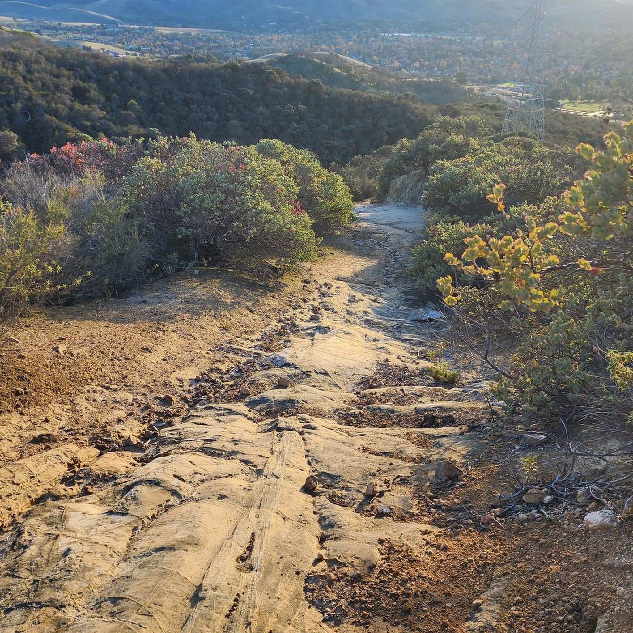
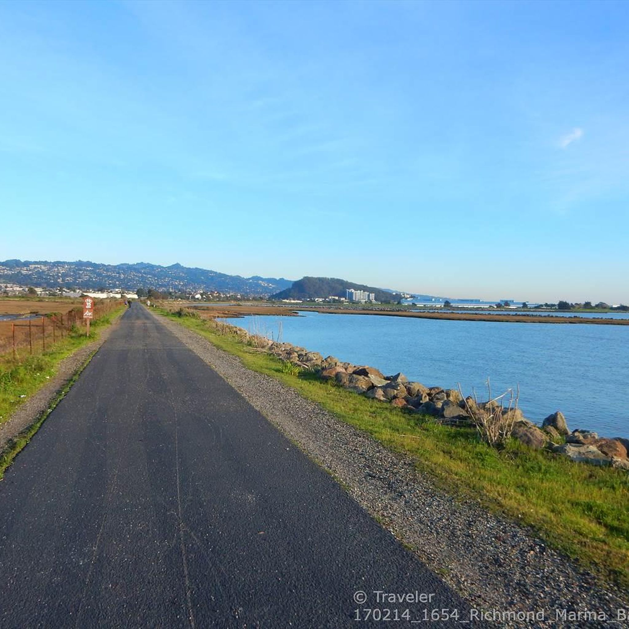
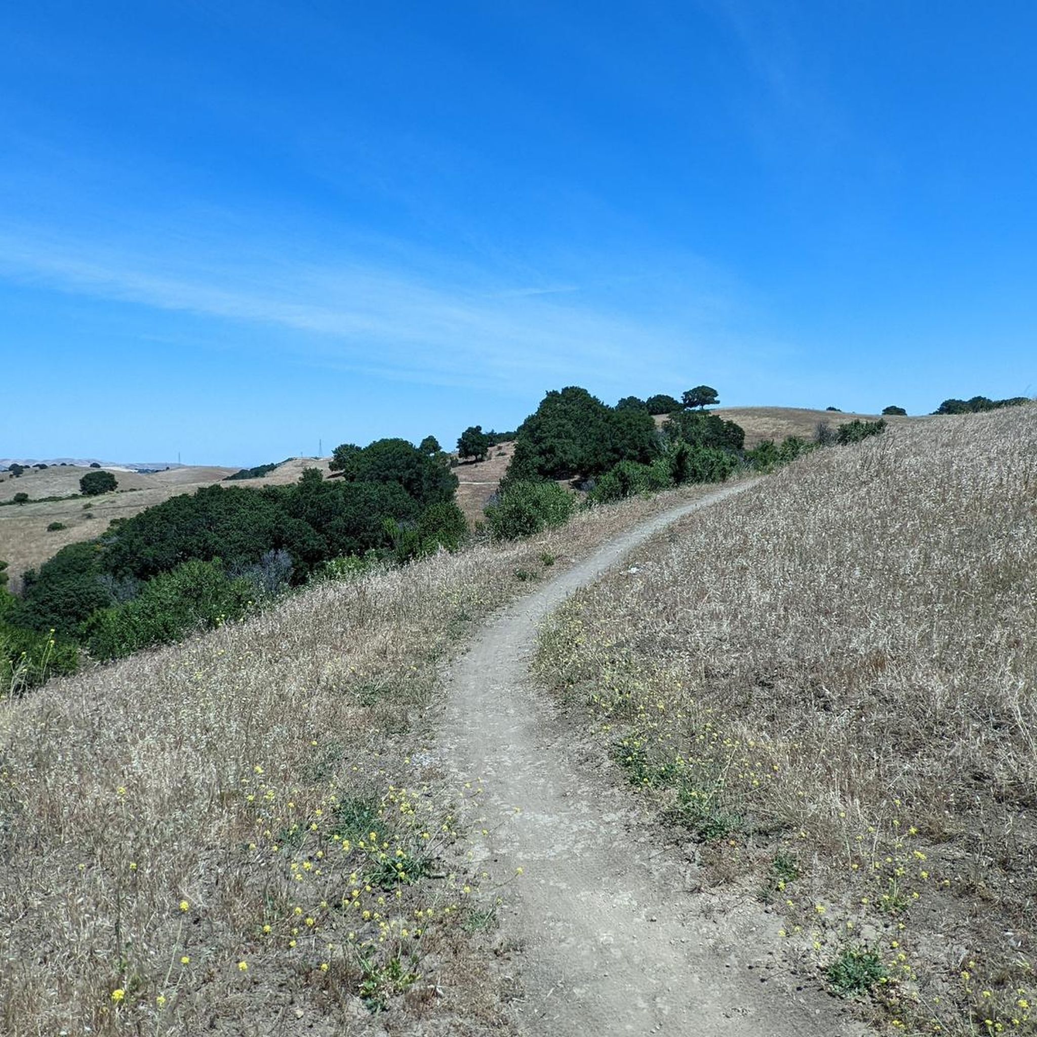
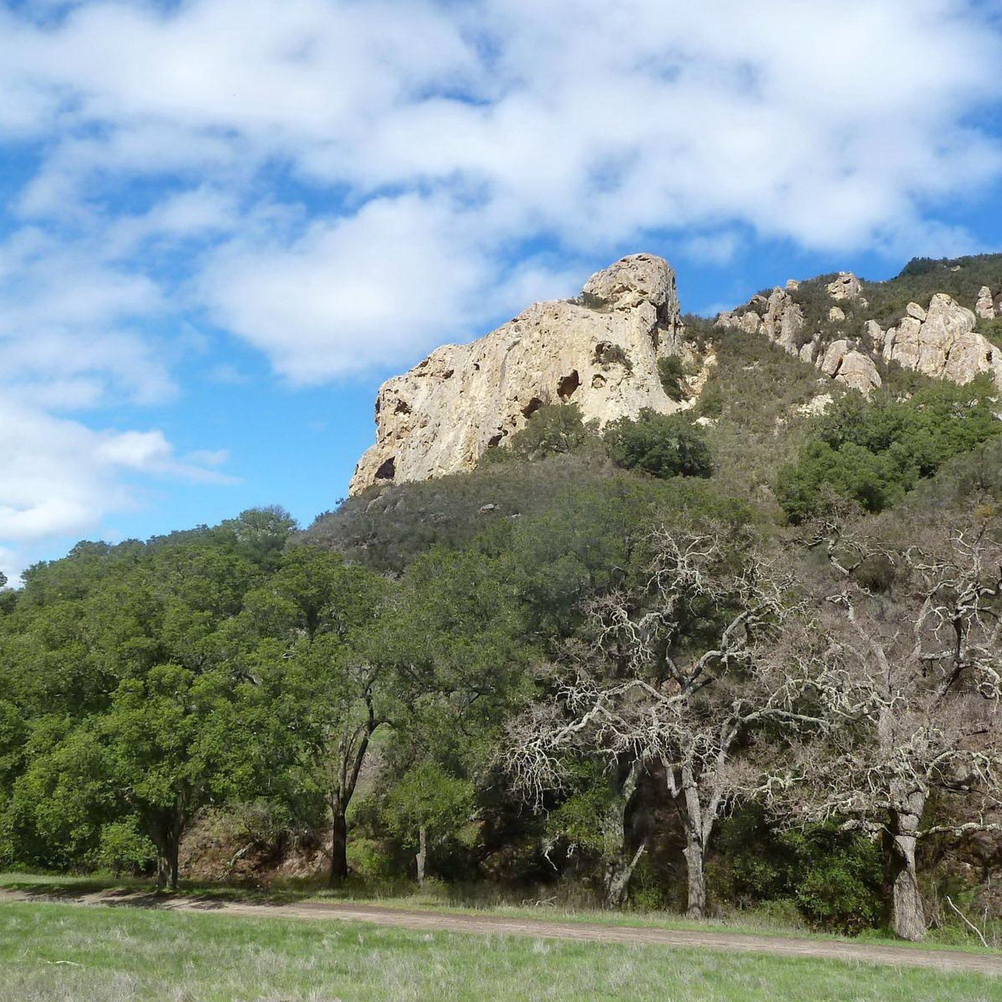
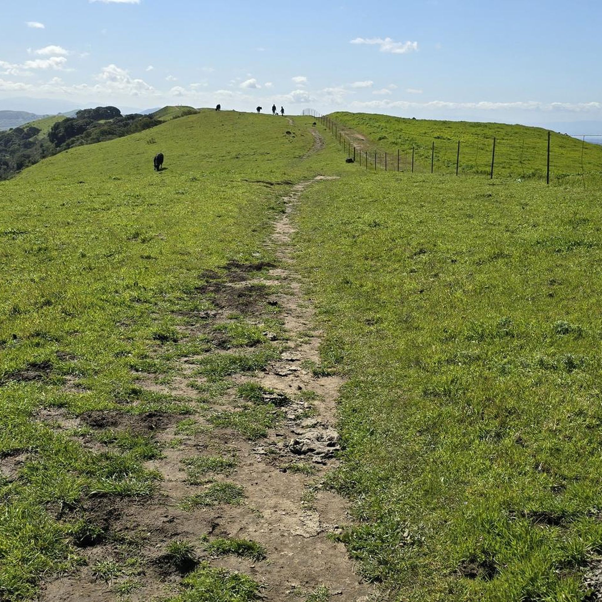
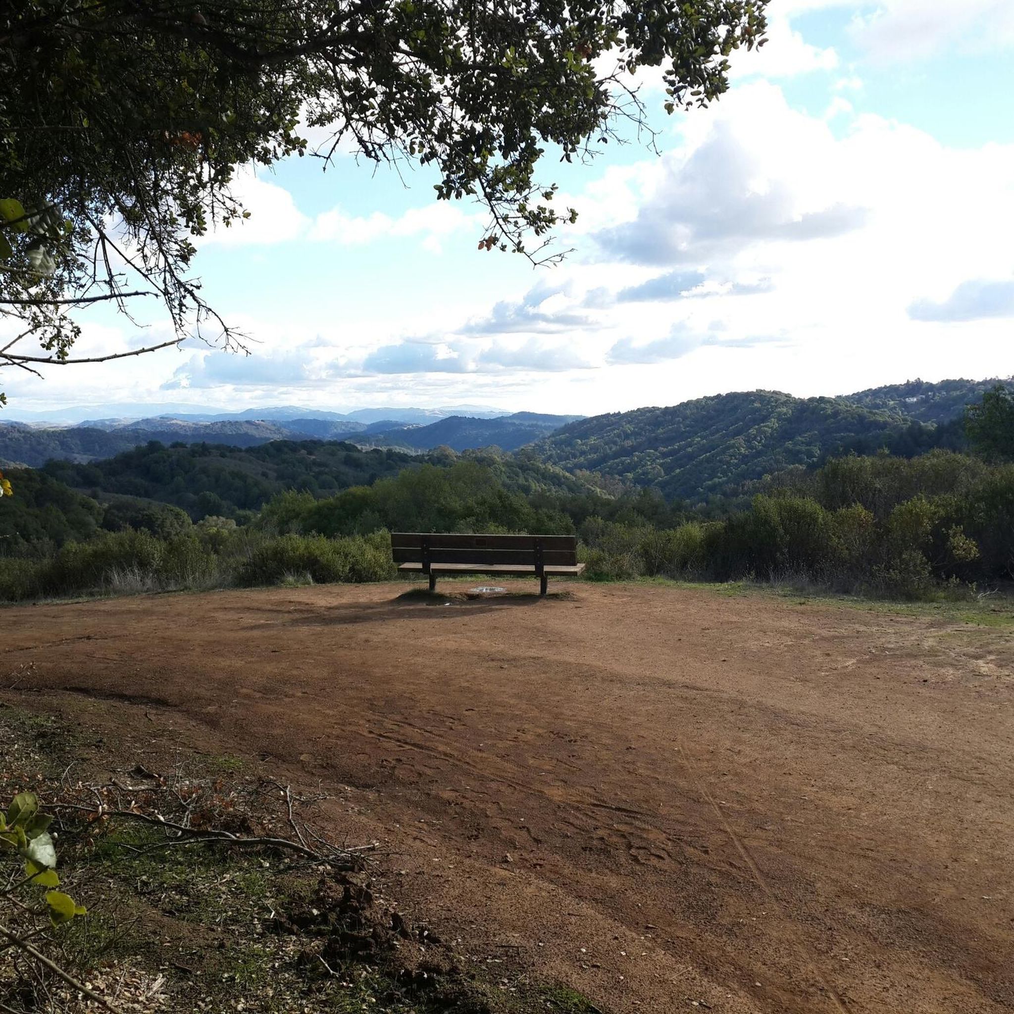
In this area of the Sobrante Ridge Regional Preserve, visitors can find the Sobrante Ridge Trailhead. The preserve is 277 acres in size and is a parkland that preserves the habitat of the extremely rare Alameda manzanita. It is an important home to indigenous plants and animals in this area.
0
0

Mount Diablo, is the Bay Area second-highest peak at 1173m (3849ft). The challenging climb features constantly fluctuating gradients averaging 8%, with tough sections up to 18% and a brutal 23% finish in the last 200m. The equally demanding descent requires good bike handling due to tight corners, potholes, and strong winds. The road to the top is open daily from 8 AM till sunset.
0
0
The Museum of the San Ramon Valley was established in 1985 and sits in a restored 1891 Southern Pacific Railroad Depot with the Victorian-era “Combination Station No. 22” listed on the National Register of Historic Places. The Official Visitor Information Center offers maps, guides, and knowledgeable staff, along with free parking and restrooms located in the caboose.
1
0
The Benicia-Martinez Bridge Trail offers a unique ride across the Carquinez Strait with dedicated bike and pedestrian lanes. It’s a smooth, paved path with great views of the water and passing ships. A solid link between Benicia and Martinez, especially if you’re piecing together a longer Bay Area loop.
1
1

The Iron Horse Trail is a 32-mile multi-path that connects the towns of Concord and Pleasanton. It follows the route of the abandoned Southern Pacific Railroad. With its access to schools, business centers, and parks, the path is popular with commuters and recreationalists.
1
0
The Lafayette-Moraga Regional Trail is a 7.65-mile paved path for hiking, biking, and horseback riding, open from 5 a.m. to 10 p.m. daily. Paralleling St. Mary's Road, the trail connects Lafayette and Moraga, passing through the scenic Moraga Valley. It is a historical route for mule and steam trains transporting redwood lumber. The trail starts at Olympic Boulevard in Lafayette and ends at the Valle Vista staging area near the San Leandro Reservoir. Along the way, it links to schools, parks, and commercial areas and is maintained by the East Bay Regional Park District.
0
0

The Lamorinda Trail Loop has an interesting beginning. Initially the three communities of Lafayette, Orinda and Moraga convened a committee to look at connecting themselves via trails. However, upon looking closely at existing trails they discovered a trail route already existed through the three cities and they simply need to raise funds for signage along the route. After placing the signs designating the route the trail was officially opened on August 10th, 2006.
0
0

This stretch of the trail crosses the Carquinez Bridge, where a dedicated bike path runs alongside the road. From here, you can enjoy stunning views of the bay, with San Pablo Bay on one side and the Carquinez Strait on the other.
1
0
Frequently Asked Questions
How many touring cycling routes are available in Contra Costa County?
Contra Costa County offers a wide variety of touring cycling routes, with over 250 options available. These routes cater to all skill levels, including 80 easy, 101 moderate, and 74 difficult trails.
What kind of terrain can I expect on touring cycling routes in Contra Costa County?
The county features diverse terrain, from the challenging ascents of Mount Diablo to the tranquil waterways of the San Joaquin River Delta. You'll find a dynamic blend of urban centers and serene natural beauty, characterized by lush greenery and golden, rolling hills, offering both gentle slopes and more demanding climbs.
Are there any challenging routes for experienced touring cyclists?
Yes, Contra Costa County is home to several challenging routes. For a significant climb, consider the Mount Diablo via North Gate and Summit Roads, which offers a difficult ascent to the summit. Another demanding option is the Briones Reservoir loop, known for its substantial elevation changes over a longer distance.
Are there any easy or family-friendly touring cycling routes?
Absolutely. For easier, flatter rides suitable for families, the region boasts extensive multi-use trails. The Contra Costa Canal Trail and the Iron Horse Regional Trail are excellent choices, offering paved, car-free paths that connect various cities and parks. These trails are ideal for a relaxed cycling experience.
What scenic loop routes are available for touring cyclists?
Contra Costa County offers several scenic loop routes. The Carquinez Strait loop provides beautiful marine views and bridge crossings. For a route combining mountainous terrain with a paved rail-trail, the Mount Diablo and Iron Horse Trail Loop is a popular choice. Another option is the Lamorinda Trail Loop, offering a moderate ride through varied landscapes.
What natural landmarks or attractions can I see along the touring cycling routes?
You can encounter several notable natural features. The majestic Mount Diablo Summit offers panoramic views. The Point Isabel Regional Shoreline Park provides scenic bay views and opportunities for wildlife observation. Other points of interest include Eagle Peak and the Devil's Pulpit.
Are there any routes that offer water views?
Yes, several routes provide beautiful water views. The eastern parts of the county border the San Joaquin River Delta, offering tranquil waterways. The Carquinez Strait also features routes with marine vistas. Additionally, areas like Point Pinole Regional Shoreline and Lafayette Reservoir offer scenic cycling paths alongside water bodies.
What do other touring cyclists enjoy most about cycling in Contra Costa County?
The touring cycling routes in Contra Costa County are highly rated by the komoot community, with an average score of 4.7 stars from over 270 reviews. Cyclists frequently praise the diverse landscapes, from challenging mountain climbs to flat, scenic trails, and the extensive network of well-maintained paths that cater to various preferences.
Can I find routes that combine urban and natural scenery?
Yes, Contra Costa County is known for its blend of urban centers and natural beauty. Many routes, especially those utilizing the extensive multi-use trail network like the Iron Horse Trail, pass through both developed areas and serene natural landscapes, offering a varied cycling experience.
Are there any routes that are particularly good for spotting wildlife or enjoying nature?
For nature and wildlife observation, Point Pinole Regional Shoreline is an excellent choice, featuring sandy shores, meadows, and marshes, and is home to over 100 species of birds. Briones Regional Park also offers trails with opportunities to see diverse wildlife amidst its rolling hills.
What is a good route for a longer, more challenging day out?
For a longer and challenging ride, consider the Three Bears Loop. This 23.5-mile route features varied terrain with significant elevation changes, providing a rewarding experience for those looking for a substantial touring cycling adventure.
Are there any routes that explore historical areas?
Yes, the Historic Crockett loop offers a touring cycling experience that takes you through an area rich in history, allowing you to explore the charm of this historic town and its surroundings.
Most popular routes in Contra Costa County
Most popular attractions in Contra Costa County

Get inspired with the komoot mobile app


Didn’t find what you were looking for?
Check out more Cycling routes throughout Contra Costa County below and find the perfect route in your destination.
Explore more
Browse the best Cycling routes in other regions.
