The best walks and hikes in Fayette County
4.9
(77)
1,258
hikers
48
hikes
Hiking in Fayette County, located in Pennsylvania's Laurel Highlands, offers diverse landscapes characterized by rugged terrain, river valleys, and dense forests. The region is shaped by the Youghiogheny River Gorge, providing numerous opportunities for outdoor exploration. Hikers can discover a variety of natural features, including waterfalls and extensive trail networks within areas like Ohiopyle State Park. This topography ensures a range of hiking experiences across different difficulty levels.
Best hiking trails in Fayette County
- The most popular hiking route is Long Point Trail — New River Gorge National Park & Preserve, a 3.1 miles (5.0 km) trail that takes 1 hour 25 minutes to complete. This easy path leads to a prominent viewpoint overlooking the New River Gorge.
- Another top favourite among local hikers is Endless Wall loop — New River Gorge National Park & Preserve, a moderate 5.1 miles (8.1 km) path. This route traverses forested areas and offers views of the iconic Endless Wall cliffs.
- Local hikers also love the Fayetteville and Kaymoor Trail loop — New River Gorge National Park & Preserve, a 8.0 miles (12.8 km) trail leading through varied terrain including historical mining sites, often completed in about 4 hours 3 minutes.
- Hiking in Fayette County is defined by river gorges, dense forests, and waterfalls. The network offers options for different ability levels, from easy riverside walks to more challenging treks into forested hills.
- The routes in Fayette County are highly rated by the komoot community with an average score of 4.9 stars from over 50 reviews. More than 1000 hikers have used komoot to explore Fayette County's varied terrain.
Last updated: July 8, 2026
5.0
(1)
16
hikers
766m
00:15
30m
30m
Begin your easy hike on the Canyon Rim Boardwalk, a short 0.5-mile (0.8 km) route that takes you along the edge of the New River Gorge. You will experience a gentle elevation gain of 101 feet (31 metres) over approximately 14 minutes, making it a quick and accessible outdoor experience. The wooden boardwalk guides you through the forest, offering glimpses of the vast gorge. As you proceed, you will encounter an upper observation area providing initial views of the iconic New River Gorge Bridge. Descending the 178 wooden steps to the lower overlook reveals a more expansive panorama, where you can often see Wolf Creek cascading into the canyon below. This short, easy trail is perfect for a quick immersion into the area's natural beauty.
Accessing the Canyon Rim Boardwalk is straightforward, as the trailhead begins directly from the Canyon Rim Visitor Center. You will find ample parking available at the visitor center, making your arrival hassle-free. Since this is one of the most visited overlooks in the New River Gorge National Park and Preserve, consider arriving earlier in the day to avoid peak crowds, especially during popular seasons. The trail is open year-round, offering different scenic experiences depending on the season, from lush summer greenery to vibrant autumn foliage. No permits or fees are required to enjoy this accessible route.
This boardwalk offers a unique perspective into the geological grandeur of the New River Gorge, one of the oldest rivers on the continent. The deep canyon carved by the New River showcases millions of years of natural history, providing a dramatic backdrop to your walk. The area is also rich in biodiversity, with diverse plant life clinging to the canyon walls and thriving in the surrounding Appalachian forests. The trail's design allows you to safely experience the scale of the gorge and its impressive bridge, connecting you directly with the natural and engineering marvels of the region.
5.0
(1)
12
hikers
7.27km
02:09
210m
210m
Embark on the Skyline, Rocky and Narrow Gauge Loop, a moderate hiking route that spans 4.5 miles (7.3 km) through diverse landscapes. You will gain 682 feet (208 metres) in elevation, with the entire journey taking approximately 2 hours and 9 minutes to complete. As you hike, you'll experience lush forests and rugged terrain, offering a varied and engaging workout. The Skyline Trail provides magnificent vistas of valleys, including the scenic Manns Creek Valley, while the Narrow Gauge Trail follows Glade Creek, where you can enjoy the constant sound of rushing water and spot secluded waterfalls.
Before you set out, be aware that while no specific permits are typically required for this loop, some sections demand careful attention. The Skyline Trail, for instance, can be quite steep and narrow in parts, especially with leaf litter, so watch your footing. Additionally, the Rocky Trail features a steep descent that can be challenging for your knees. You might consider hiking the loop in a direction that allows you to descend this section more comfortably, making your experience more enjoyable.
This trail offers more than just natural beauty; it also provides a glimpse into local history. As you traverse the route, you will pass by the historic Glade Creek Grist Mill. This fully operational replica is a popular spot for photos and adds a unique cultural element to your outdoor adventure. The combination of varied terrain, scenic overlooks, and historical landmarks makes this loop a notable option within Babcock State Park.

Sign up for free
5
hikers
5.58km
01:34
90m
160m
Embark on an easy hike along the Long Point via Fayetteville Trail, a route that guides you through lush green hills and dense forests. You will cover 3.5 miles (5.6 km) with a gentle elevation gain of 298 feet (91 metres), typically taking about 1 hour and 34 minutes to complete. As you hike, the path winds through fields and woods, offering glimpses of rhododendrons and ferns, particularly vibrant from late spring to early summer. The highlight of your journey is reaching Long Point, where you are rewarded with a panoramic vista of the New River Gorge Bridge and the New River below.
This trail is quite popular, especially if you plan to visit on a weekend, so expect to share the path with other hikers. While the route is family-friendly with well-maintained sections, exercise caution at the Long Point overlook due to significant drops on three sides. Note that the final 0.2 miles to the point are reserved for hiking only, though mountain bikes are permitted on most of the trail leading up to this section.
The Long Point via Fayetteville Trail offers a classic New River Gorge experience, showcasing the natural beauty of the area. It provides an accessible way to witness the impressive engineering of the New River Gorge Bridge from a unique vantage point. This route is a prime example of the diverse hiking opportunities available within the national park, blending forest exploration with iconic scenic views.
2
hikers
6.24km
01:36
30m
20m
Discover the Southside Trail, an easy 3.9-mile (6.2 km) hiking route that follows a historic railroad line. You'll experience a gentle journey with minimal effort, gaining only 84 feet (26 metres) in elevation over approximately 1 hour and 35 minutes. The path offers continuous, excellent views of the New River, winding through a rich forested environment where you can observe large hardwoods and towering white oaks.
Before you head out, it's wise to check the National Park Service website for any current alerts or seasonal information that might affect your visit. Parking is generally available at various designated trailheads along the route, making access straightforward. This trail is well-suited for most hikers looking for a relaxed outdoor experience.
This route is nestled within the New River Gorge National Park and Preserve, providing a unique opportunity to explore the area's natural beauty. The trail's design along a former railway line means you'll find a wide, level path, perfect for a leisurely stroll. Keep an eye out for numerous side trails that lead directly to the river's edge, offering closer access to the water.
5.0
(1)
1
hikers
1.17km
00:23
40m
60m
If you're seeking a quick and easy hike, the Bridge Trail offers a unique perspective of the New River Gorge. This route guides you along the gorge's edge and directly underneath the impressive New River Gorge Bridge, providing an up-close look at its construction. It's an easy 0.7-mile (1.2 km) journey with a gentle 143 feet (44 metres) of elevation gain, typically completed in about 22 minutes.
Planning your visit is straightforward, as parking is generally available at the Bridge Trail trailhead. Before you head out, it's always a good idea to check the New River Gorge National Park & Preserve website for any current alerts or conditions. This ensures you have the most up-to-date information for your trip.
Beyond its scenic views, the Bridge Trail also serves as a connector to the Fayetteville Trail, offering options for extending your adventure. This short hike is a perfect way to immerse yourself in the natural beauty and engineering marvels of the New River Gorge National Park & Preserve, even if you only have a short time.
1
hikers
2.61km
00:42
10m
60m
The Lake View Trail offers an easy hike, perfect for a quick outdoor escape. You'll enjoy pleasant views of the surrounding nature, with scenic glimpses of Boley Lake providing a tranquil backdrop for your walk. The route is 1.6 miles (2.6 km) long, with a gentle elevation gain of just 46 feet (14 metres), making it accessible for most. You can expect to complete this easy trail in about 42 minutes, taking in the sights. A highlight is the historic Glade Creek Grist Mill, adding a unique charm to your experience.
Planning your visit to the Lake View Trail is straightforward, as it is generally well-maintained and accessible. You'll find parking typically available at Babcock State Park, making it easy to start your hike right away. Before heading out, it's always a good idea to check local park advisories for any seasonal changes or specific conditions that might affect your trip. This ensures you have the most up-to-date information for a smooth and enjoyable outing.
This trail stands out for its blend of natural beauty and historical significance within Babcock State Park. While you enjoy the tranquil views of Boley Lake, you also get to experience the unique presence of the historic Glade Creek Grist Mill. It's an ideal choice if you are looking for a gentle stroll that combines rewarding natural scenery with a touch of local history, offering more than just a simple walk in the woods.
1
hikers
1.83km
00:30
20m
20m
Embark on an easy hike along the Clovis Trail, a short and accessible route perfect for a quick outdoor escape. This trail spans 1.1 miles (1.8 km) and involves a gentle elevation gain of 80 feet (24 metres), taking approximately 29 minutes to complete. As you walk, you will likely find yourself winding through peaceful forested areas, experiencing the characteristic beauty of the Appalachian landscape. Look for the Arrowhead Trailhead, which serves as a notable marker along your journey, and immerse yourself in the natural surroundings of West Virginia's wilderness.
Planning your visit to the Clovis Trail is straightforward, as New River Gorge National Park and Preserve is generally open throughout the year. However, conditions can change with the seasons, so it is always a good idea to check the park's official website before you head out. This will help you stay informed about any current alerts, potential road closures, or specific requirements you might need to know. You can usually find parking available at the designated trailheads, making access to the route convenient for hikers.
The Clovis Trail offers a taste of the rugged beauty that defines New River Gorge National Park and Preserve. While specific detailed scenic information for this particular path is not readily available, you can anticipate the typical natural splendor of the region. This area is known for its rich Appalachian ecosystem, providing a serene backdrop for your outdoor activity. It is an excellent way to experience the park's environment without committing to a longer or more challenging excursion.
20.4km
05:36
320m
360m
Embark on the New River Gorge OHV Route for a challenging hike through forested landscapes, offering unique perspectives of the New River. This difficult 12.7-mile (20.4 km) journey involves a significant elevation gain of 1054 feet (321 metres), typically requiring about 5 hours and 36 minutes to complete. As you navigate the route, you'll discover picturesque overlooks that provide expansive views down into the gorge, showcasing the dramatic cliffs and natural beauty of the area.
When planning your visit, be aware that this route is primarily designed for off-highway vehicles, meaning you will share the path with motorized traffic. The terrain can be quite rugged, with sections that may be rutted or muddy, particularly after rainfall, so come prepared for varied conditions. For the most enjoyable experience, consider hiking this route between September and October, when the weather is often more favorable.
While primarily an OHV route, the trail offers a distinct way to immerse yourself in the New River Gorge National Park and Preserve. Keep an eye out for local wildflowers and various wildlife as you traverse the path, enjoying the fresh mountain air. The route provides a different vantage point of the gorge compared to other trails, making it a notable option for those seeking a unique adventure within the park's diverse offerings.
2.02km
00:44
130m
100m
Embark on the easy Cliffside Trail, a 1.3-mile (2.0 km) hike that offers dramatic panoramic views from a high vantage point. You will gain 437 feet (133 metres) in elevation, making it a quick ascent that takes about 43 minutes to complete. As you hike, you can expect to see unique geological formations and diverse ecosystems. The route provides a rewarding experience for anyone seeking scenic viewpoints and a chance to immerse themselves in nature.
Accessing the trail is straightforward, with parking typically available within Hawks Nest State Park. Before you head out, always check the park's official website for the most current operating hours. It is also wise to look for any specific advisories that might affect your visit, such as temporary closures or weather-related warnings. Planning ahead ensures a smooth and enjoyable hiking experience.
Located within Hawks Nest State Park, this trail is part of a larger area known for its natural beauty. The park itself is a significant landmark, offering more than just hiking opportunities. The Cliffside Trail stands out for its accessible yet impactful journey through the park's varied terrain, highlighting its unique geological features and providing expansive views of the surrounding landscape.
3.61km
01:02
70m
120m
Embark on an easy hike along the Manns Creek Gorge Trail, a 2.2-mile (3.6 km) route that guides you through diverse scenery within Babcock State Park. You will descend past interesting sandstone outcroppings, leading to Manns Creek Falls, a beautiful triple cascade. The trail offers a gentle elevation gain of 214 feet (65 metres) and takes about 1 hour and 1 minute to complete. As you go, look for thickets of mountain laurel and rhododendron, which are particularly vibrant when they bloom. The path eventually opens up to a rocky overlook, providing a wide 180-degree view of the secluded Mann Gorge.
You can easily access the Manns Creek Gorge Trail from two main points. One option is to start from campsite 26, located within the Babcock State Park Campground. Alternatively, you can begin your adventure from a trailhead situated near Camp Washington Carver. This route welcomes leashed dogs, so you are welcome to bring your canine companion along for the journey.
This trail is a fantastic choice for a quick outdoor escape, offering a blend of natural beauty and accessibility. As you explore the varied forest, keep an eye out for local wildflowers and wildlife that call this area home. The triple cascade of Manns Creek Falls is a highlight, and you might even discover a small swimming hole there on warmer days. The panoramic view from the rocky overlook provides a unique perspective of the isolated Mann Gorge.
Get access to more routes and recommendations from other explorers.
Sign up for free
Already have an account?
Our route recommendations are based on thousands of hikes, rides, and runs completed by other people on komoot.
Start today with a free account
Your next adventure awaits.
Login or Signup



Other adventures in Fayette County

Tips from the Community

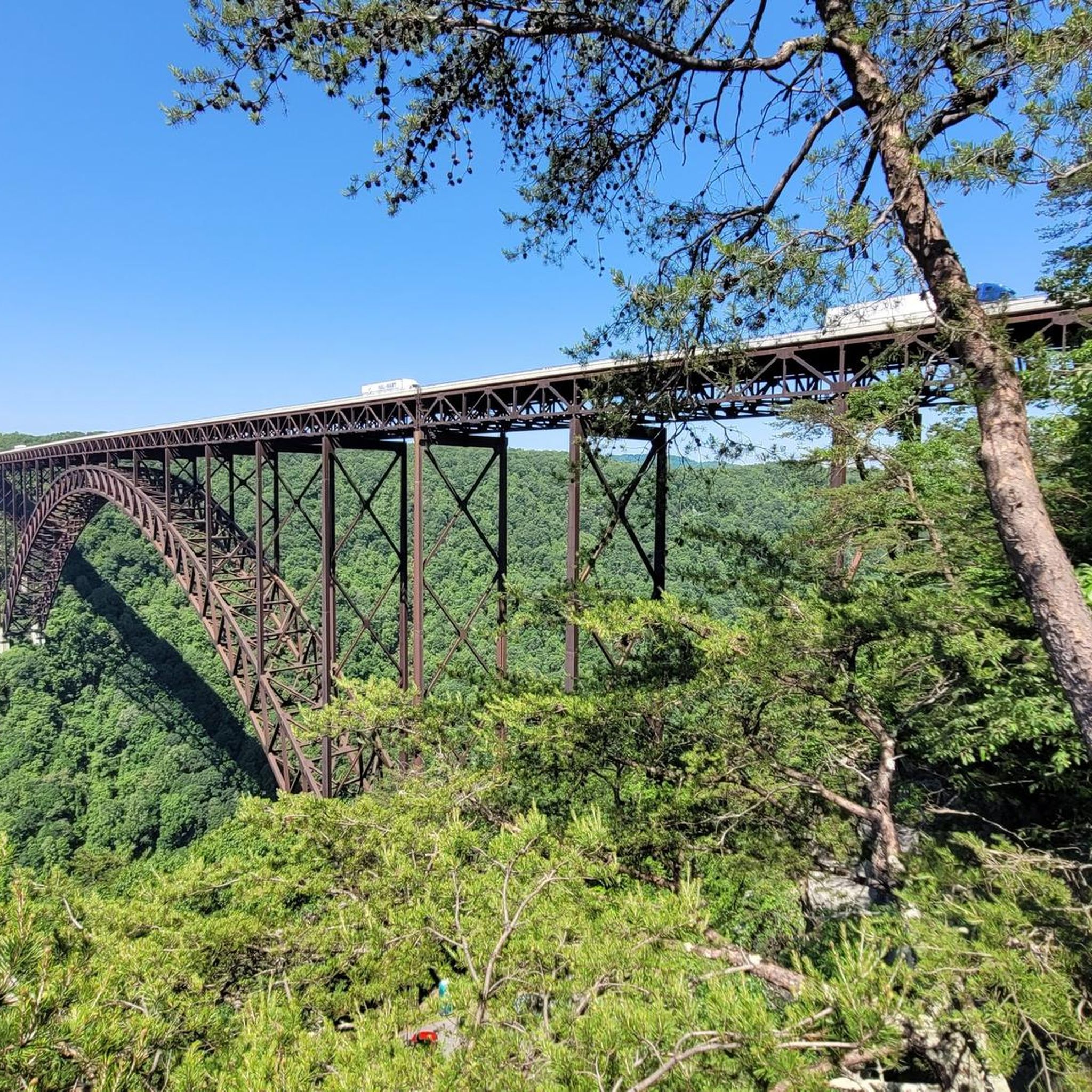
Enjoy panoramic views of the gorge and the New River Gorge Bridge from the Long Point viewpoint. This is a great trail for mountain biking, although riders should be cautious of hikers sharing the trail. Bikes are not permitted the last 0.2 miles before the top, but there is a bike rack available at this point.
0
0

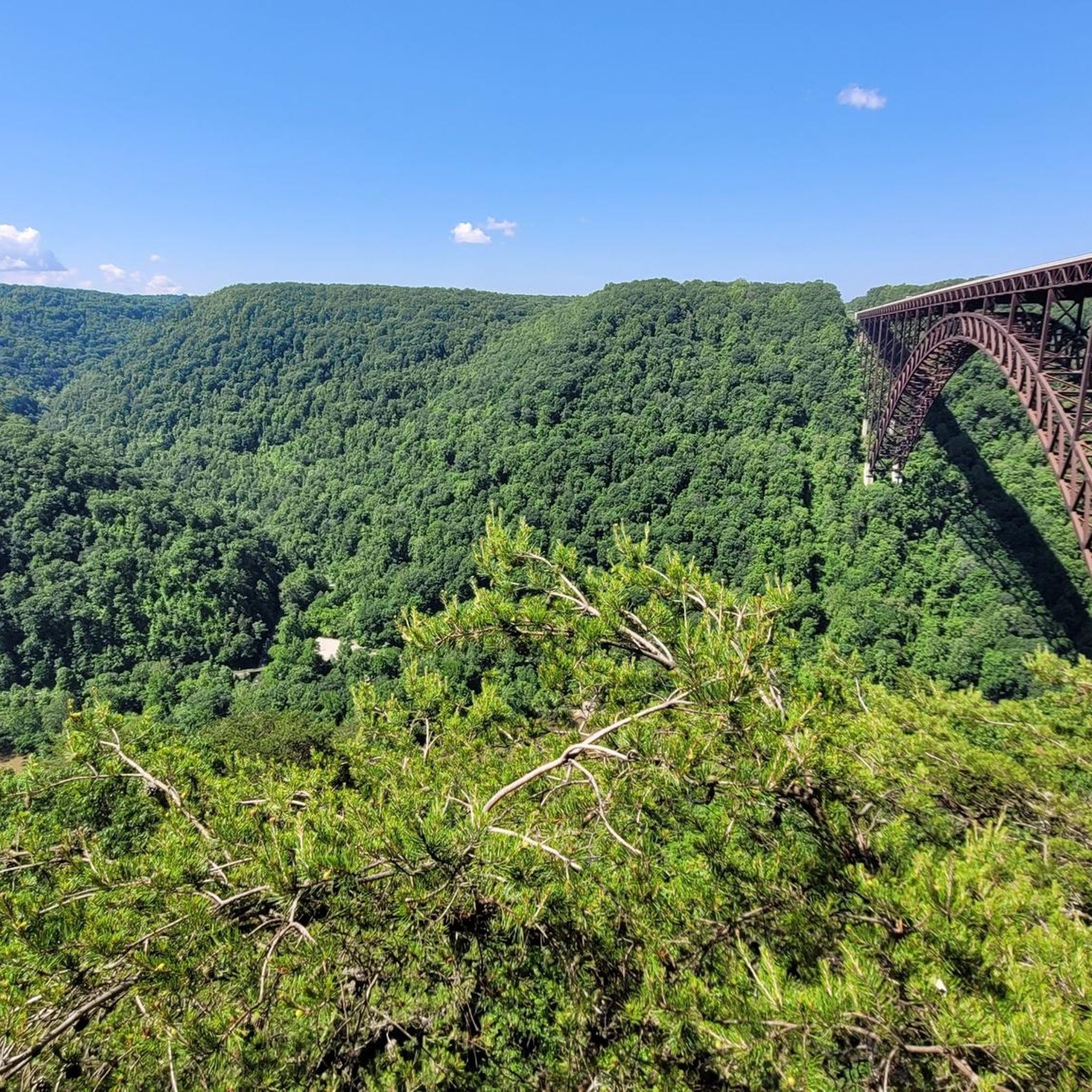
This spur of the Canyon Rim Boardwalk provides closeup views of the New River Gorge Bridge, and it is fully accessible.
0
0
Narrow Gauge Trail crosses picturesque Manns Creek here, as it flows on its way to the New River at the historical town site of Sewell.
0
0
Especially when the colors are changing in the fall, Boley Lake is a beautiful hiking backdrop—not to mention a great place to rest and snack. Non-motorized boating and fishing are also allowed. Be sure to check the West Virginia Department of Natural Resources website for pertinent info.
0
0
The Glad Park Grist Mill is a functional mill that turns corn into cornmeal. Though its operations are for the historical education of visitors, the mill is actually a relatively new mill made from parts of other retired mills from around the New River Gorge area.
0
0
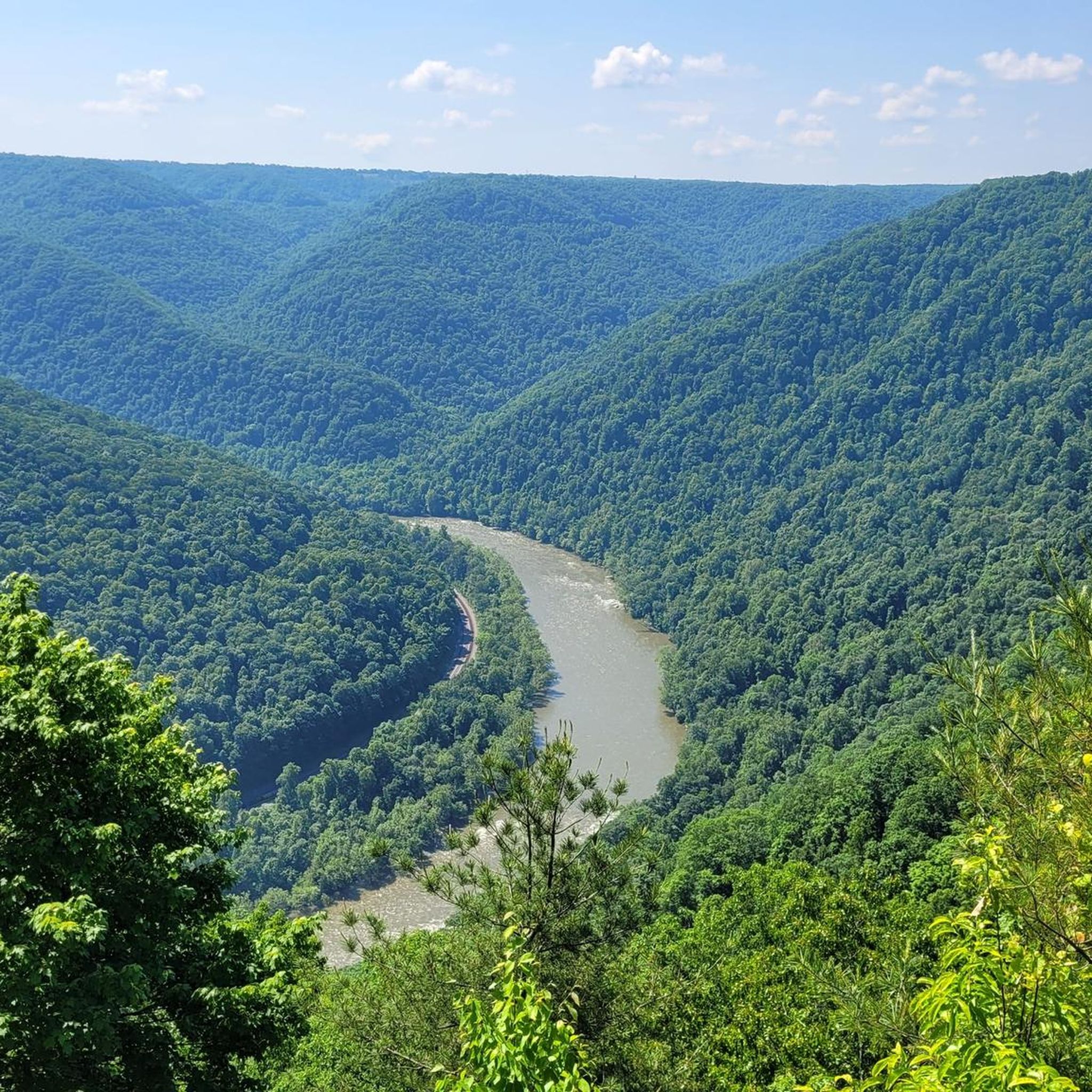
Hikers looking to cool off or take a break may enjoy this easy approach to the riverside.
0
0
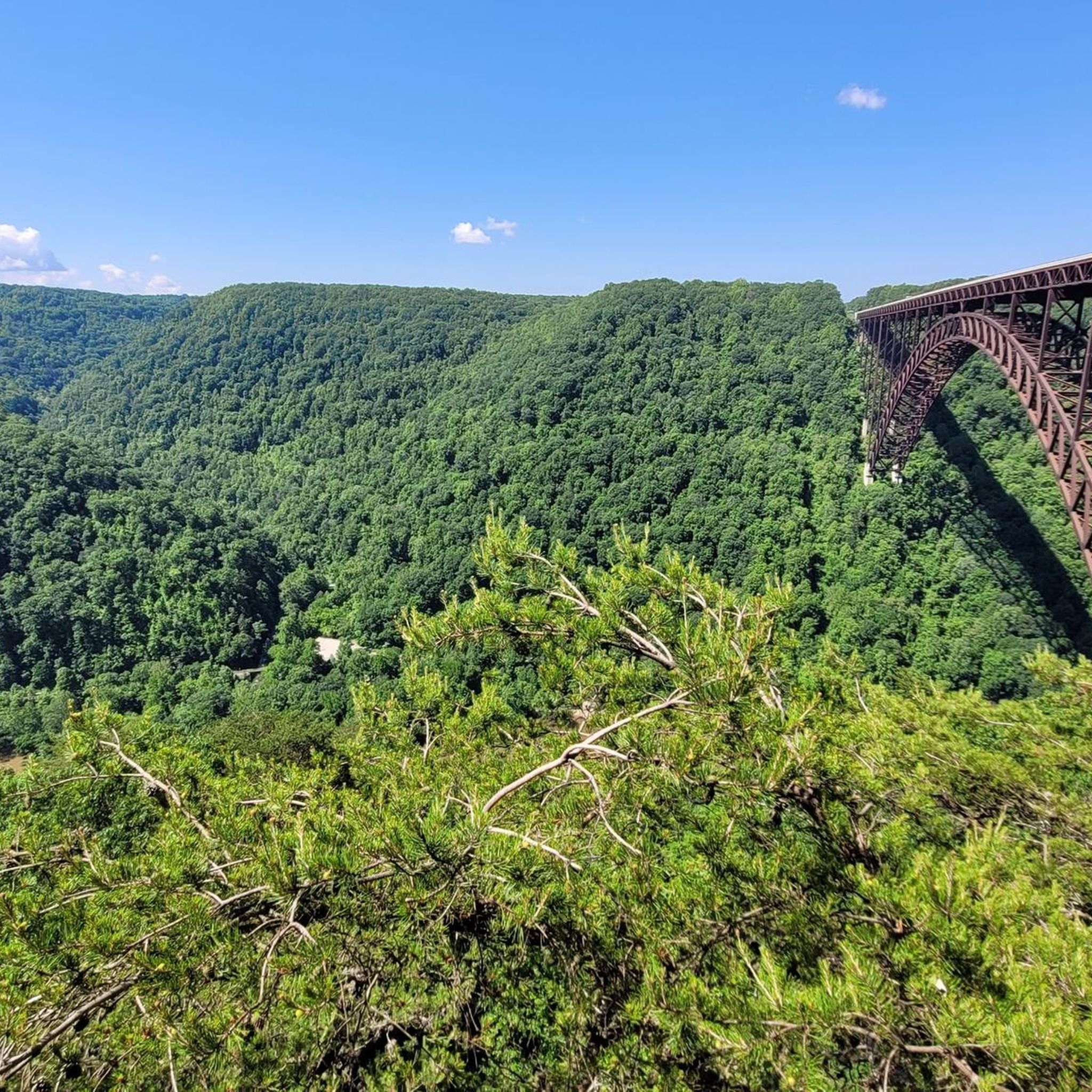
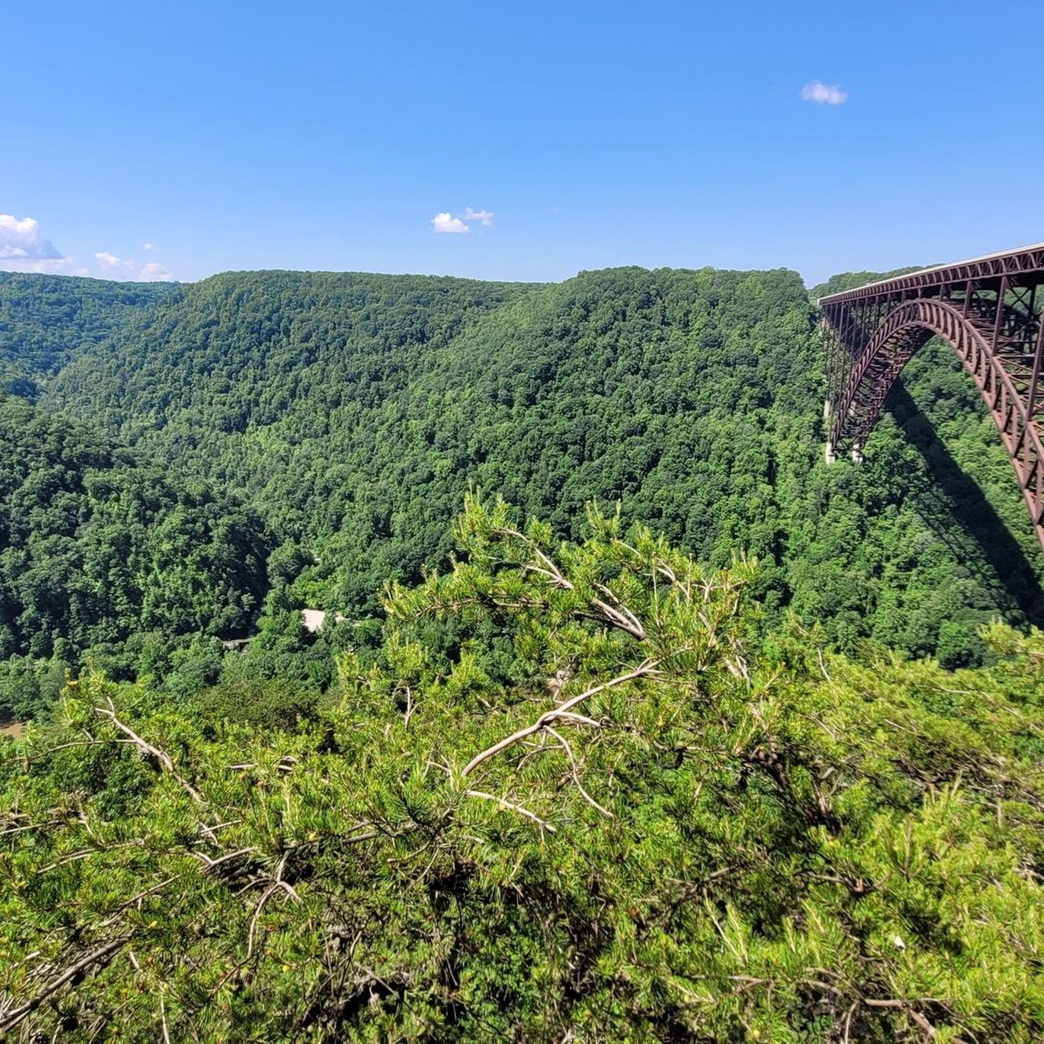
It's hard to beat the northwest-facing perspective at Long Point, where the New River—and its famous namesake bridge—stretch majestically before hikers. And it's not a long trek, so it's relatively accessible too. Remember to communicate with other hikers and use trail etiquette, as there is a falling risk in the last few yards before the point and at the point itself.
0
0

From the New River Gorge Canyon Rim Visitors Center, it is a short walk along the Lower Canyon Rim Board Walk to the viewpoint of the New River Gorge Bridge.
3
0
Frequently Asked Questions
How many hiking trails are available in Fayette County?
Fayette County offers a wide variety of hiking experiences, with over 30 routes documented on komoot. These trails range from easy riverside walks to more challenging treks into the forested hills, catering to different skill levels.
What kind of terrain can I expect when hiking in Fayette County?
Fayette County's terrain is characterized by rugged landscapes, deep river valleys, and dense forests, largely shaped by the Youghiogheny River Gorge. You'll find a mix of rolling prairies, shaded woodlands, and bluffs, offering diverse scenery. Areas like Ohiopyle State Park feature dramatic gorges and waterfalls, while Quebec Run Wild Area provides a more remote experience with gentle valleys and rocky slopes.
Are there any easy or family-friendly hiking trails in Fayette County?
Yes, Fayette County has several easy and family-friendly options. Ohiopyle State Park offers accessible trails like those in the Ferncliff Peninsula Natural Area, which provide easy access to natural beauty. The Great Allegheny Passage (GAP Trail) also has flat, well-maintained sections suitable for all ages. For a short, scenic walk, consider the Canyon Rim Boardwalk.
Where can I find hikes with waterfalls in Fayette County?
Fayette County is known for its beautiful waterfalls, especially within Ohiopyle State Park. You can explore prominent features like Ohiopyle Falls, Sugar Run Falls, and Cucumber Falls. Many trails in the park, such as the Jonathan Run Falls via Jonathan Run Trail, lead directly to these natural attractions.
What are some notable landmarks or natural features to see along the trails?
Hiking in Fayette County offers access to several significant landmarks and natural features. The iconic New River Gorge Bridge is a spectacular sight. You can also explore historical sites like the Kaymoor Mine Site and Ruins, or enjoy panoramic views from the Lovers Leap Viewpoint. The Endless Wall Trail itself is a major natural attraction.
Are there any challenging day hikes in Fayette County?
For those seeking a more challenging experience, Fayette County offers several longer and more strenuous routes. The Full Kaymoor Trail is a difficult option, covering over 31 km. Portions of the Laurel Highlands Hiking Trail, such as the Ohiopyle to Bidwell section, also provide longer and more demanding treks.
What do other hikers enjoy most about hiking in Fayette County?
The hiking routes in Fayette County are highly rated by the komoot community, with an average score of 4.9 stars from over 50 reviews. Hikers frequently praise the diverse landscapes, the dramatic river gorges, and the beauty of the dense forests and waterfalls. The variety of trails, from easy riverside walks to challenging climbs, is also a highlight for many.
Are there any scenic loop trails in Fayette County?
Yes, Fayette County features several scenic loop trails. The Endless Wall loop is a popular moderate option that traverses forested areas and offers iconic cliff views. Another good choice is the Fayetteville and Kaymoor Trail loop, which combines varied terrain with historical mining sites.
What is the best time of year to hike in Fayette County?
Fayette County's trails are suitable for all seasons, each offering a unique experience. Spring brings wildflowers, summer provides lush greenery, and autumn transforms the landscape with vibrant colors. Winter offers a tranquil hiking experience. The diverse topography ensures beautiful scenery regardless of the time of year.
Are there any remote hiking areas in Fayette County?
For a more remote hiking experience, consider the Quebec Run Wild Area within the Forbes State Forest. This secluded area offers approximately 25 miles of interconnected trails through rugged, forested landscapes, featuring gentle valleys, rocky slopes, and small creeks. Trails often follow old logging roads, providing a sense of solitude.
What wildlife might I encounter while hiking?
While hiking in Fayette County, you might encounter various wildlife. Common sightings include deer, wild turkeys, and a diverse array of songbirds. The dense forests and varied habitats provide a home for many species, adding to the natural experience of the trails.
Most popular attractions in Fayette County

Get inspired with the komoot mobile app


Didn’t find what you were looking for?
Check out more Hikes throughout Fayette County below and find the perfect route in your destination.
Explore more
Browse the best Hikes in other regions.
