The best walks and hikes in El Dorado County
4.7
(522)
7,725
hikers
312
hikes
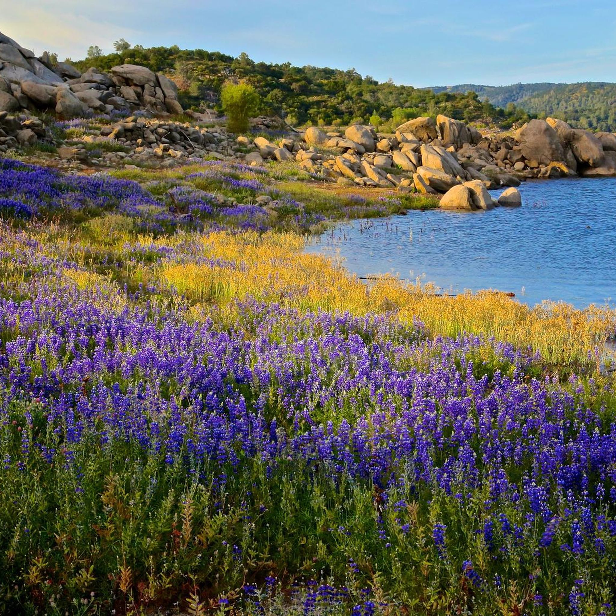
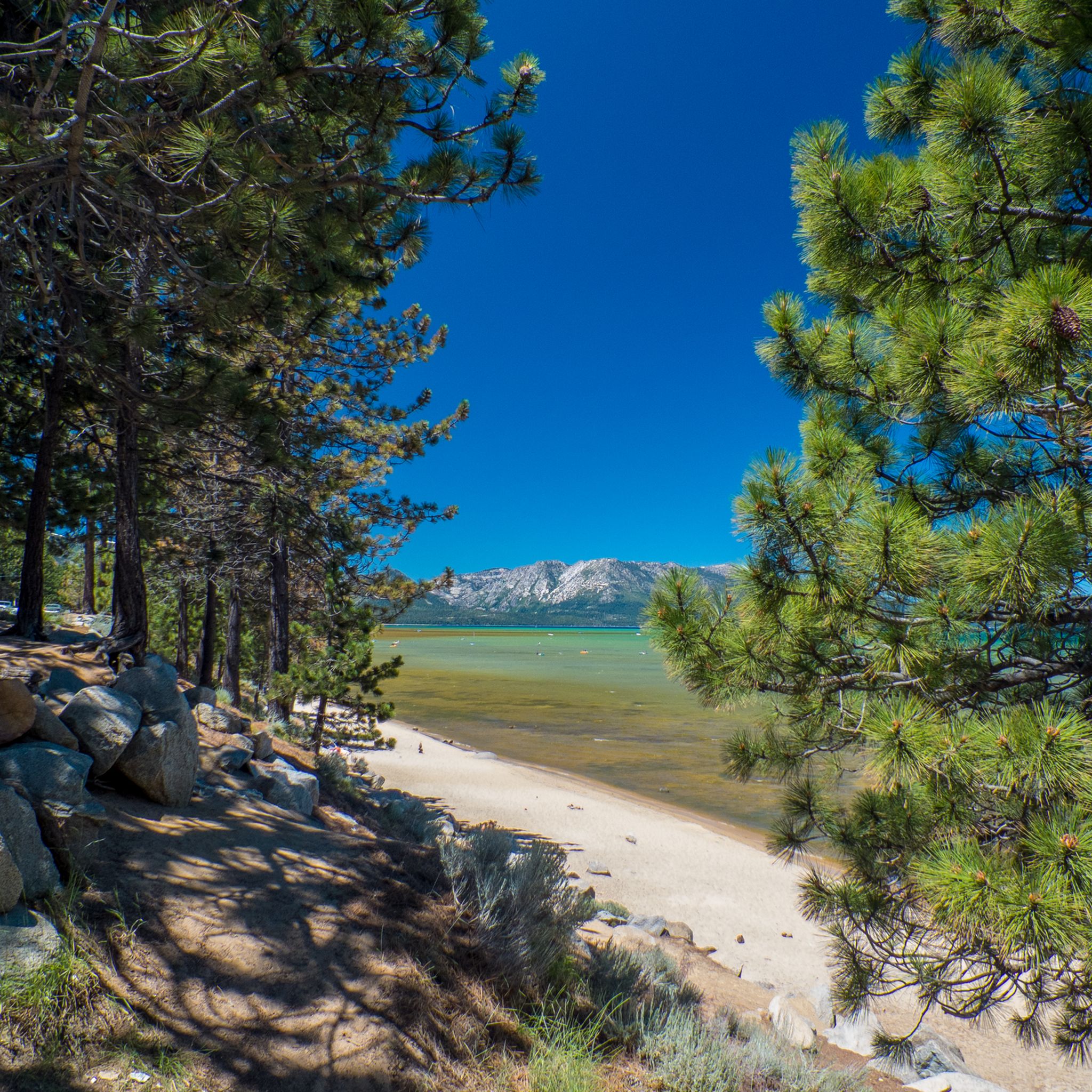
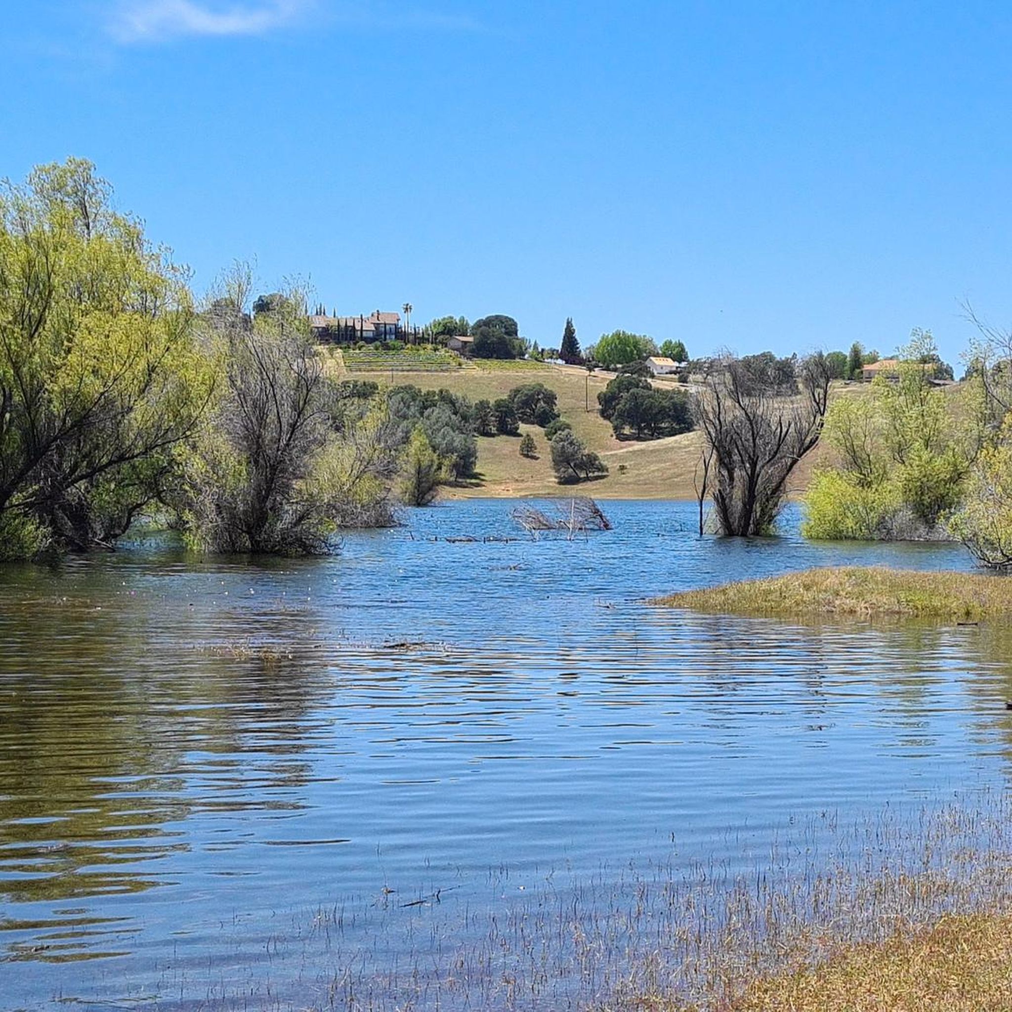
Hiking in El Dorado County covers a diverse landscape, ranging from oak woodlands in the foothills to alpine peaks in the Sierra Nevada. The region is characterized by national forests, glacially carved granite basins, and numerous lakes, including a portion of Lake Tahoe. Trails navigate through dense conifer forests, follow river canyons, and ascend to viewpoints over the surrounding mountains. This varied terrain offers a wide array of environments for exploration.
Best hiking trails in El Dorado County
- The most popular hiking route is Eagle Falls and Eagle Lake from Vikingsholm Trailhead — Emerald Bay State Park, a 2.6 miles (4.1 km) trail that takes around 1 hour 15 minutes to complete. The route features a moderate climb to views of Eagle Falls and Eagle Lake.
- Another top favourite among local hikers is Mount Tallac Trail — Desolation Wilderness, a difficult 9.0 miles (14.5 km) path. This challenging hike involves significant elevation gain, ascending to the summit of Mount Tallac for panoramic views of Lake Tahoe and Desolation Wilderness.
- Local hikers also love the Rubicon Trail Loop — Emerald Bay State Park, an 8.9 miles (14.3 km) trail leading through Emerald Bay State Park, often completed in about 4 hours 5 minutes.
- Hiking in El Dorado County is defined by its alpine lakes, granite peaks, and forested canyons. The trail network provides a range of options suitable for different fitness and experience levels.
- The routes in El Dorado County are highly rated by the komoot community with an average score of 4.8 stars from over 400 reviews. More than 5,000 hikers have used komoot to explore El Dorado County's varied terrain.
Last updated: August 31, 2026
4.9
(25)
182
hikers
10.9km
04:09
570m
570m
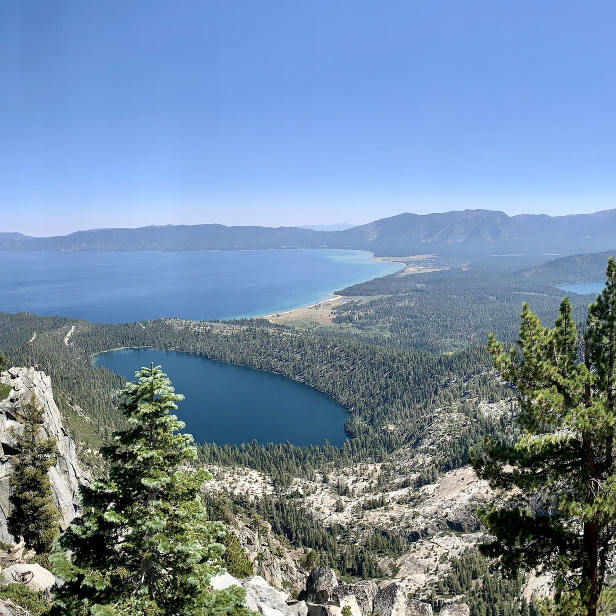
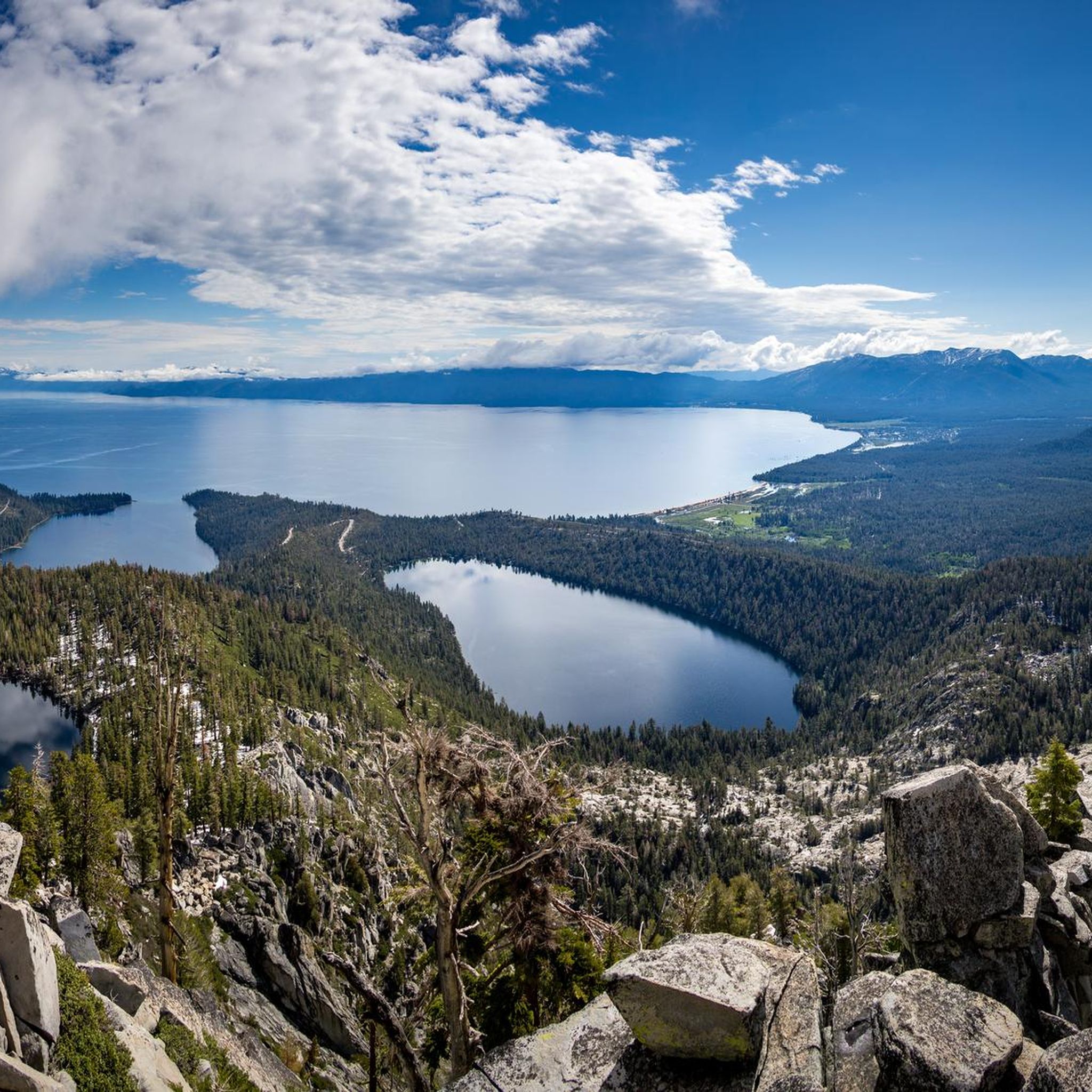
The Bayview and Eagle Lake Trail Loop takes you on a spectacular journey through the Desolation Wilderness, transitioning from shaded pine forests to open granite slabs and rugged alpine scenery. You'll encounter pristine alpine lakes like Granite Lake and Eagle Lake, and be rewarded with sweeping panoramic views of Lake Tahoe and the iconic Emerald Bay, including glimpses of Fannette Island. The route's diverse terrain and stunning natural features make it a memorable experience for those seeking a challenging day in the Sierra Nevada.
Planning your trip requires a bit of foresight, as permits are necessary for day hikes into the Desolation Wilderness and are typically available at the trailhead. The trail starts with a substantial uphill climb from the Bayview Trailhead, so an early start is advisable to make the most of your day. Be aware that winter conditions can bring frozen waterfalls and icy patches, potentially requiring specialized gear like crampons.
This 6.8-mile (10.9 km) loop, with its 1860 feet (567 metres) of elevation gain and estimated duration of 4 hours and 9 minutes, is officially rated moderate but often feels more demanding due to its continuous ascent and rocky sections. It serves as an excellent gateway into the raw beauty of the Desolation Wilderness, offering some of the most expansive views of Lake Tahoe and the surrounding Sierra Nevada mountains, making it a standout choice for experienced hikers.
4.6
(12)
114
hikers
12.1km
03:31
330m
330m
Embark on a scenic adventure around Emerald Bay with the Vikingsholm, Lower Eagle Falls, and Rubicon Trail Loop, a moderate 7.5-mile (12.1 km) hike that takes roughly 3 hours and 31 minutes. This route immerses you in continuous, sweeping vistas of Emerald Bay's striking turquoise waters, framed by towering granite cliffs and dense forests. You'll descend to the unique Vikingsholm mansion, explore the serene Lower Eagle Falls, and traverse sections of the Rubicon Trail, offering an intimate lakeside experience with views of Fannette Island.
While the initial descent to Vikingsholm is relatively easy, be ready for a strenuous uphill climb on the return, gaining approximately 400-500 feet in about a mile. The path to Lower Eagle Falls involves stairs, and parts of the Rubicon Trail can be steep and slick, especially after rain or in winter. Parking is available, but given the trail's popularity, arriving early is recommended to ensure a spot, particularly during peak season.
This loop is a must-do for anyone wanting to experience the iconic Lake Tahoe views and historical charm. It uniquely combines natural beauty, like the powerful cascades of Lower Eagle Falls fed by snowmelt in spring, with the architectural marvel of Vikingsholm Castle. The diverse scenery and blend of natural and historical landmarks make it one of the most rewarding and popular routes in the region.

Sign up for free
4.5
(4)
109
hikers
8.32km
02:15
120m
120m
Embark on the Emerald Point Trail for a moderate hike that takes you along Lake Tahoe's stunning shoreline. This 5.2-mile (8.3 km) route involves a gentle ascent of 385 feet (117 metres), typically completed in about 2 hours and 15 minutes. As you walk, you'll pass through fragrant forests of red firs and mixed pines, with constant views of the vibrant turquoise waters of Emerald Bay. The path eventually leads to Emerald Point, where a quiet, secluded beach awaits, offering a perfect spot to relax by the water. You can also catch glimpses of Fannette Island, the lake's only island, from various points along the way.
The trail is open throughout the year, but be aware that winter conditions might require you to bring microspikes or snowshoes for safe travel. Since this is a very popular destination, especially during peak season, consider starting your hike early in the morning for a more peaceful experience. Parking can be difficult to find, and you should expect to pay a fee to enter Emerald Bay State Park.
This route offers a unique perspective of Lake Tahoe's only island, Fannette Island, which sits prominently within Emerald Bay. The trail provides a chance to observe boaters, kayakers, and paddleboarders enjoying the alpine waters during warmer months. Reaching Emerald Point gives you access to a tranquil, secluded beach, making it a rewarding destination for a quiet break away from the main crowds.
5.0
(6)
96
hikers
17.0km
05:11
490m
460m
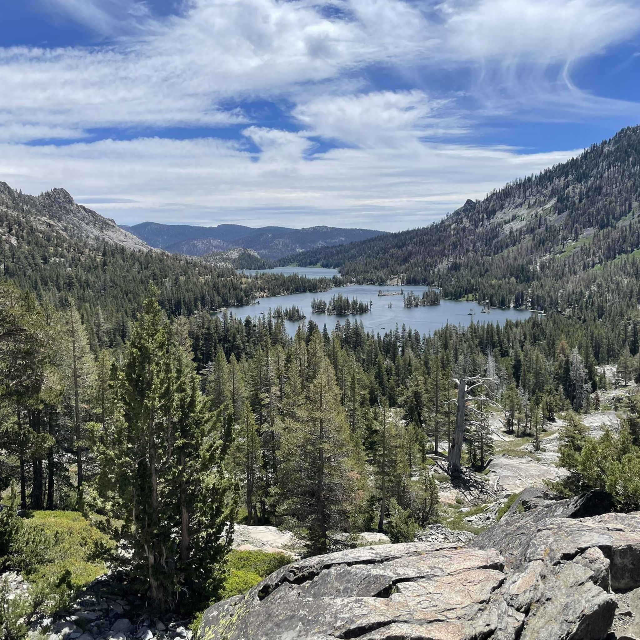
Embark on a challenging hike along the Pacific Crest Trail from Echo Lake to Lake of the Woods, a difficult route covering 10.6 miles (17.0 km). You will gain 1597 feet (487 metres) in elevation over approximately 5 hours and 10 minutes of hiking. As you traverse this section of the Desolation Wilderness, you will encounter dramatic rock outcroppings and ancient Sierra Juniper trees rooted in granite. The path winds past picturesque Lower and Upper Echo Lakes, offering expansive views towards Tamarack Lake and the majestic Crystal Range, including Pyramid Peak, before you climb towards the beautiful glacial Lake of the Woods.
Planning your visit requires careful attention to permits, as entry into the Desolation Wilderness is regulated. If you intend to stay overnight, remember that bear canisters are mandatory for your safety and to protect the wildlife. While the initial stretch along Echo Lakes presents a relatively flat start, be prepared for a consistent and demanding climb as you venture deeper into the wilderness. Always check current conditions and regulations before heading out.
This segment of the Pacific Crest Trail is renowned for its unique blend of rugged terrain and serene alpine beauty. You will experience a varied landscape, moving between rocky sections, open granite expanses, and welcome patches of tree cover. The route offers a profound sense of immersion in a pristine natural environment, making it a notable and rewarding experience for those seeking a strenuous yet scenic adventure in the Sierra Nevada.
5.0
(3)
60
hikers
12.8km
04:01
460m
190m
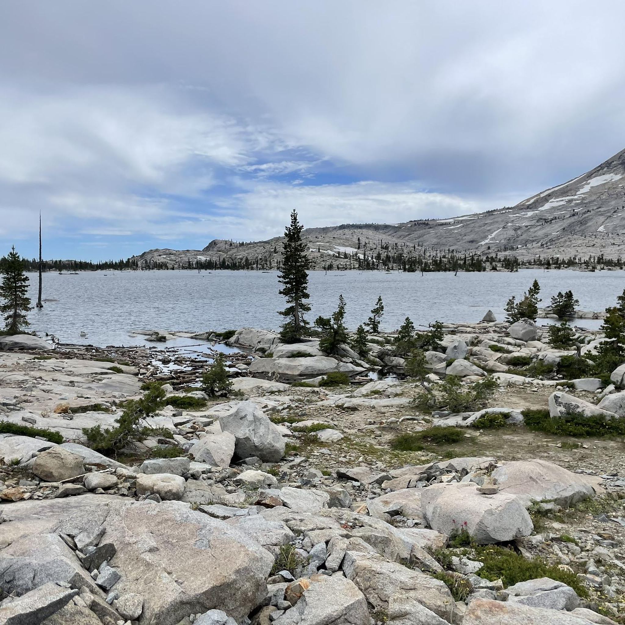
Embark on the Lake Aloha Trail, a moderate hike that takes you through the stunning Desolation Wilderness. This 8.0-mile (12.8 km) route features diverse terrain, transitioning from lush forests to expansive granite landscapes. You will gain 1507 feet (459 metres) in elevation, leading you past crystal-clear alpine lakes and dramatic granite peaks. The highlight is Lake Aloha itself, a vast, island-dotted expanse known for its iridescent blue waters set against sheer granite walls. Expect to complete this journey in about 4 hours and 1 minute, enjoying the unique alpine beauty.
Before you set out, remember that permits are required for hiking the Lake Aloha Trail, whether for a day trip or an overnight stay. These permits can be competitive, especially if you plan to visit during peak season. The Echo Lakes route is a popular starting point, offering convenient access and parking for the trailhead. Be aware that certain sections, particularly around Tamarack Lake, may be covered in deep snow during early winter or after heavy snowfalls, which can make navigation challenging. Plan your visit accordingly to ensure a smooth experience.
This trail offers a rewarding experience for hikers seeking the raw beauty of the Sierra Nevada. The dramatic granite peaks and crystal-clear alpine lakes define the scenery, making it a standout route in the region. The contrast between the iridescent blue waters of Lake Aloha and its surrounding sheer granite walls creates a truly memorable landscape. It is considered one of the most rewarding Lake Aloha hiking trails for those who appreciate rugged alpine environments.
5.0
(2)
59
hikers
1.29km
00:22
30m
40m
If you're seeking a quick but rewarding escape into nature, the Eagle Trail Loop delivers. This easy route winds through scenic spots, offering glimpses of the stunning Emerald Bay and the vast expanse of Lake Tahoe. You'll encounter the beautiful Upper Eagle Falls, providing a refreshing natural highlight along the way. It's a perfect short stroll to soak in some of California's iconic beauty.
This 0.8-mile (1.3 km) hike, with a gentle 106 feet (32 metres) of elevation gain, is easily accessible and typically takes just 22 minutes. You'll find convenient parking nearby, making it an excellent choice for a spontaneous and relaxed outing. It's a great option for families or anyone looking for an easy, high-payoff experience.
This particular Eagle Trail Loop is a gem for its accessibility and the concentrated beauty it offers. Unlike some of the more strenuous trails sharing the name, this one focuses on delivering iconic views of Emerald Bay and Lake Tahoe with minimal effort, making it a standout for those short on time but eager for a memorable experience in El Dorado County.
5.0
(1)
35
hikers
7.70km
02:30
330m
300m
Embark on the Training Hill, Olmstead, and Wendell Robie Loop for a moderate hiking experience that packs a punch. This route spans 4.8 miles (7.7 km) and challenges you with a significant 1072 feet (327 metres) of elevation gain, typically taking about 2 hours and 29 minutes to complete. You will climb the famous Training Hill, known for its steep sections, which rewards your effort with expansive views of the Foresthill Bridge and the river canyon below. Beyond the climb, the trail leads you through peaceful oak forests and open meadows, where you might spot blue lupine blooming in the spring. You will also traverse parts of the historic Wendell T. Robie Trail, offering a diverse and engaging journey.
When planning your visit, be aware that sections of the trail, especially on Training Hill, can be rocky and washed out. These areas may become wet and slippery, particularly during colder months, so consider bringing hiking poles for better balance and to ease stress on your knees. The route is multi-use, meaning you will likely share the path with equestrians and mountain bikers, so stay alert and be courteous to other users. Always check local conditions before heading out to ensure a safe and enjoyable hike.
This loop is nestled within California's Auburn State Recreation Area, a region rich in natural beauty and history. The Wendell T. Robie Trail segment is part of the much larger and renowned Western States Trail, which has a storied past. The varied terrain, from challenging ascents to serene forest paths, makes this a notable option for those looking to experience the diverse landscapes of the area. It offers a great way to connect with the local environment and its historical significance.
4.9
(28)
412
hikers
4.13km
01:17
150m
150m
The Eagle Falls Trail offers a quintessential Lake Tahoe hiking experience, leading you through lush forests and over distinctive stone stairs carved into the mountainside. You'll pass the cascading Eagle Falls, especially vibrant with snowmelt in late spring, before reaching stunning viewpoints overlooking Emerald Bay. The path continues to the tranquil Eagle Lake, nestled among steep granite cliffs, providing a serene backdrop for a rewarding outing.
This easy 2.6-mile (4.1 km) hike, with an elevation gain of 502 feet (153 metres) and an estimated duration of 1 hour and 16 minutes, is incredibly popular. To avoid crowds and secure a spot in the paid parking lot, plan to arrive early in the morning or consider visiting during the quieter shoulder seasons. If you extend your hike into the Desolation Wilderness beyond the falls, remember to obtain a free day-use permit.
Beyond its natural beauty, the Eagle Falls Trail serves as a gateway to the vast Desolation Wilderness, offering a taste of its rugged landscapes. The trail's unique stone stairs and panoramic views of Emerald Bay and Lake Tahoe make it a highly photographed and iconic destination, perfect for families and beginners looking for a high-reward, low-effort adventure.
4.5
(2)
25
hikers
28.9km
08:35
900m
850m
Embark on a challenging 18.0-mile (28.9 km) hike along the Tahoe Rim Trail, climbing 2948 feet (899 metres) from Big Meadow to Echo Lake. This difficult route typically takes around 8 hours and 35 minutes to complete. As you traverse the path, you will encounter diverse landscapes, from vibrant wildflower meadows to dense conifer forests and aspen groves. Keep an eye out for serene alpine lakes like Round Lake and Showers Lake, offering peaceful spots amidst high ridges and glaciated granite formations as you approach the Desolation Wilderness. The trail offers a rewarding experience for those seeking a demanding adventure. You will discover incredible viewpoints of the region's natural features. This segment is a true test of endurance.
Before you head out, be aware that this route includes technically challenging sections, particularly a granite ridge and staircase south of Echo Summit. If you plan to hike or camp within the Desolation Wilderness portion, permit requirements are in place for both day-use and overnight stays. Parking is available at the Big Meadow trailhead. Always check for current conditions and any seasonal closures before you go to ensure a smooth trip.
This segment of the Tahoe Rim Trail winds through the vast Eldorado National Forest, showcasing the unique geology and ecosystems of the Sierra Nevada. The journey culminates near Echo Lake, providing a sense of accomplishment after navigating its varied terrain. It is a notable section for its dramatic glaciated granite formations and the transition into the pristine Desolation Wilderness area. This trail offers a deep immersion into the natural beauty of the Lake Tahoe region.
5.0
(1)
15
hikers
31.0km
09:42
1,000m
770m
This section of the Pacific Crest Trail from Bayview to Barker Pass offers a classic Sierra Nevada hiking experience, winding through diverse terrain from vibrant wildflower meadows to mixed forests. You'll encounter substantial elevation changes, passing serene lakes like Granite Lake and the Velma Lakes, all while enjoying expansive mountain views and stunning vistas of Lake Tahoe.
Access to Barker Pass Road can be affected by weather, with closures due to snow and fallen trees even extending into late May, so check conditions before you go. If you plan to enter the Desolation Wilderness, self-issued day permits are available at trailheads, but overnight permits require advanced reservations. This difficult 19.3-mile (31.0 km) route involves 3294 feet (1004 metres) of climbing and takes around 9 hours and 42 minutes.
This segment is often shared with the Tahoe Rim Trail, making it a popular route for both long-distance and day hikers seeking a challenging adventure. Despite its difficulty, the southern half of the trail provides abundant year-round water sources, a welcome feature for such a demanding hike.
Get access to more routes and recommendations from other explorers.
Sign up for free
Already have an account?
Our route recommendations are based on thousands of hikes, rides, and runs completed by other people on komoot.
Start today with a free account
Your next adventure awaits.
Login or Signup
Popular around El Dorado County


Other adventures in El Dorado County


Tips from the Community

Upper Velma Lake is a beautiful alpine lake surrounded by pine forests and large, flat, open boulders. There is a lot of dispersed camping along its edges, and on clear nights, the stars shine brightly and are reflected in the calm waters.
1
0
Phipps Creek is a reliable creek, with a few nearby dispersed campsites. The best camp spot is just a few yards past the stream.
0
0
Sitting at 7,377 feet above sea level, Echo Summit is a California State Historic Landmark, marking the high-altitude training site of the 1968 Olympics. There is a large parking area available, along with a trailhead for both the Tahoe Rim Trail and the Pacific Crest Trail.
0
0

Recommend full suspension for Xmas Valley. Four alternate routes. Very engaging, fun, physical, at times technical ride. A stop at Scott's Lake is beautiful, Dardanelles Lake stunning.
0
0

The Tahoe Rim Trail that is also the iconic Pacific Crest Trail in this section, the view of Lower Echo Lake is just breathtaking and a provides picture postcard scenery. Take your time, stop here and there and embrace this alpine paradise.
3
0

During our hike in mid October, we couldn’t see the waterfall as it was almost dried up. Considering the height of the bridge it must look stunning after the raining season.
0
0
Vikingsholm beach has a dock that is an L shape, and visitors can walk out on it and get a great view of Fannette Island and the white sandy shores of Emerald Bay. Enjoy the crystal clear blue water of Lake Tahoe, with an average clarity of 70.1 feet.
0
0

A stunning alpine lake surrounded by granite peaks, offering breathtaking scenery and a serene atmosphere. Enjoy the clarity of the lake, ideal for fishing, or simply admiring its beauty.
1
0
Frequently Asked Questions
Are there many dog-friendly hiking trails in El Dorado County?
Yes, many trails in El Dorado County are dog-friendly, especially within the Eldorado National Forest. The Monte Vista Trailhead is a popular starting point for hikes where dogs are welcome. Always remember to keep your dog on a leash where required and check specific park regulations before you go, as areas like Emerald Bay State Park have restrictions.
What are some good, easy hikes for families?
For a family-friendly outing, the Cascade Falls Trail is an excellent choice. It's a short and relatively flat walk that leads to a beautiful waterfall viewpoint, making it manageable for hikers of all ages. The trail offers great scenery without a strenuous climb.
Can you recommend a hike with waterfalls?
El Dorado County is home to several stunning waterfalls. For an impressive display, especially in the spring and early summer, consider a hike to Bassi Falls. The trail to the falls is a well-regarded local favorite. Another great option is the Lower Eagle Falls and Overlook Trail, which provides fantastic views of the falls cascading into Emerald Bay.
What is the best time of year to hike in El Dorado County?
The best time to hike depends on the elevation. The lower foothills are pleasant from fall through spring, but can be very hot in summer. For high-elevation trails in the Sierra Nevada and Desolation Wilderness, the prime season is from July to September when the snow has melted and the weather is generally stable. Spring is ideal for seeing wildflowers and flowing waterfalls at mid-elevations.
Are there any challenging hikes for experienced adventurers?
Absolutely. For a strenuous but rewarding challenge, the Fontanillis Lake loop via Eagle Falls Trail is a great option. This difficult hike takes you deep into the Desolation Wilderness, featuring significant elevation gain and breathtaking alpine scenery with multiple lakes.
Where can I find a good circular hike?
For a scenic loop with incredible lake views, the Echo Lakes, Lake of the Woods and Lake Aloha loop is a fantastic, albeit challenging, option. This route showcases the classic granite landscapes and pristine alpine lakes of the Desolation Wilderness.
What are some popular places to start a hike in the region?
Many great hikes begin within the vast Eldorado National Forest, a sprawling and highly-rated area with hundreds of miles of trails. For trails near Auburn, Hidden Falls Regional Park is a scenic favorite for its well-maintained paths and waterfalls. Near El Dorado Hills, the Monte Vista Trailhead provides access to beautiful foothill trails with nice views.
Can you suggest a moderate hike with views of the American River?
The Clementine Trail to North Fork Dam in the Auburn State Recreation Area is a great choice. This trail follows the river, offering lovely water views and leading to the impressive North Fork Dam. It's a moderately challenging route perfect for a half-day adventure.
Are there any hikes with great views of Lake Tahoe?
Yes, many trails offer spectacular views of Lake Tahoe. For a relatively easy option that still delivers stunning scenery, consider the Emerald Point via Rubicon Trail. This hike follows the shoreline of the iconic Emerald Bay, providing continuous, beautiful vistas of the bay and the larger lake.
What do other hikers say about the trails in El Dorado County?
The trails in this region are highly regarded by the komoot community, with an average rating of 4.8 out of 5 stars. Hikers frequently praise the stunning alpine scenery, the variety of trails from easy to difficult, and the beauty of the numerous lakes and granite peaks, particularly within the Desolation Wilderness and Emerald Bay State Park.
Do I need a permit for hiking in this area?
Permits are required for both day hiking and overnight backpacking in the Desolation Wilderness. For other areas like the Eldorado National Forest, permits are generally not needed for day hikes but are required for overnight stays in wilderness areas. Always check with the specific land management agency (e.g., US Forest Service, California State Parks) for the latest regulations before your hike.
Most popular routes in El Dorado County
Most popular attractions in El Dorado County

Get inspired with the komoot mobile app


Didn’t find what you were looking for?
Check out more Hikes throughout El Dorado County below and find the perfect route in your destination.
Explore more
Browse the best Hikes in other regions.
