4.8
(89)
1,106
hikers
127
hikes
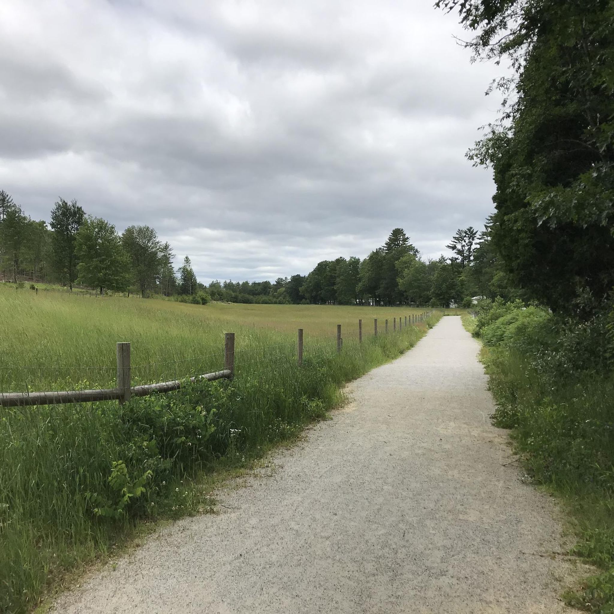
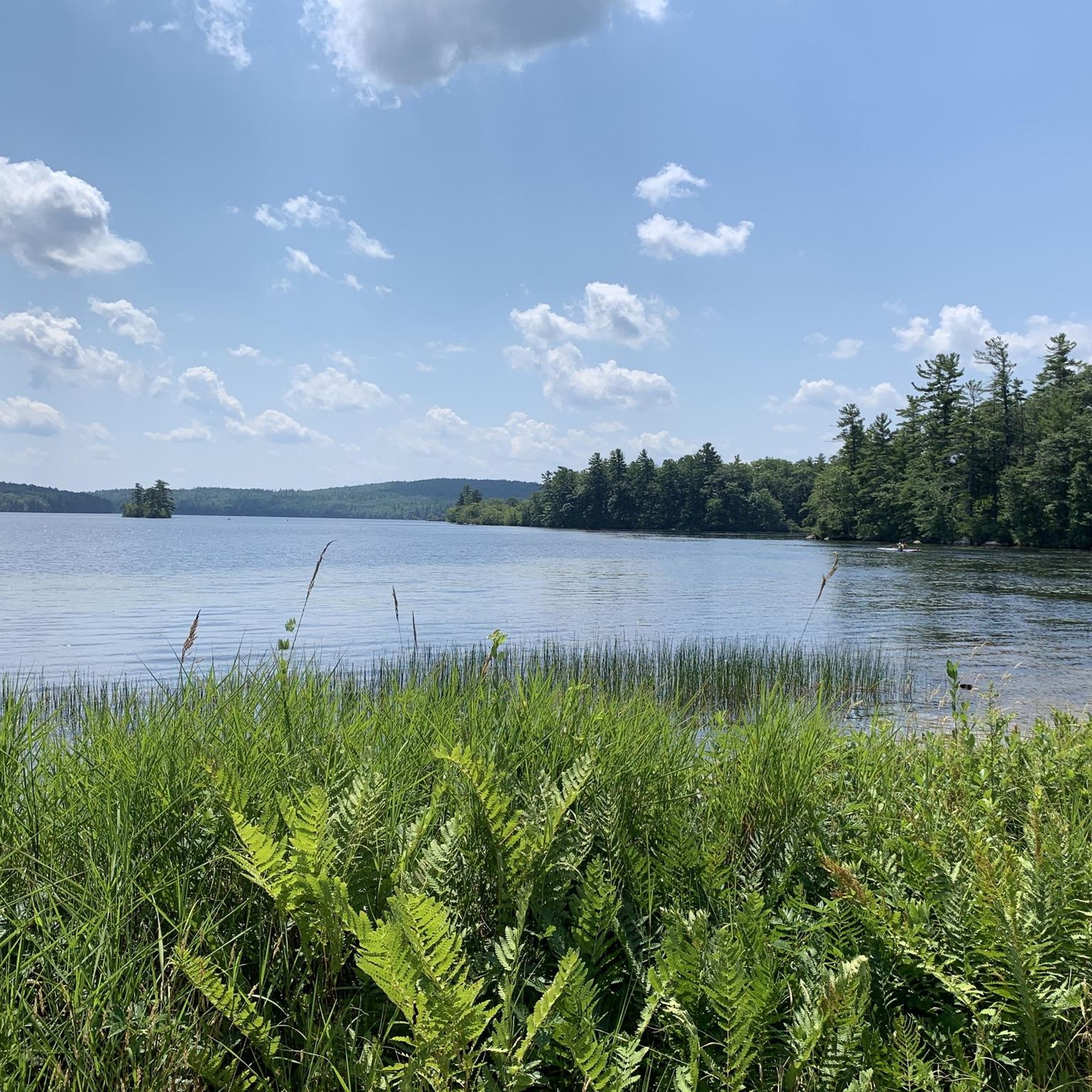
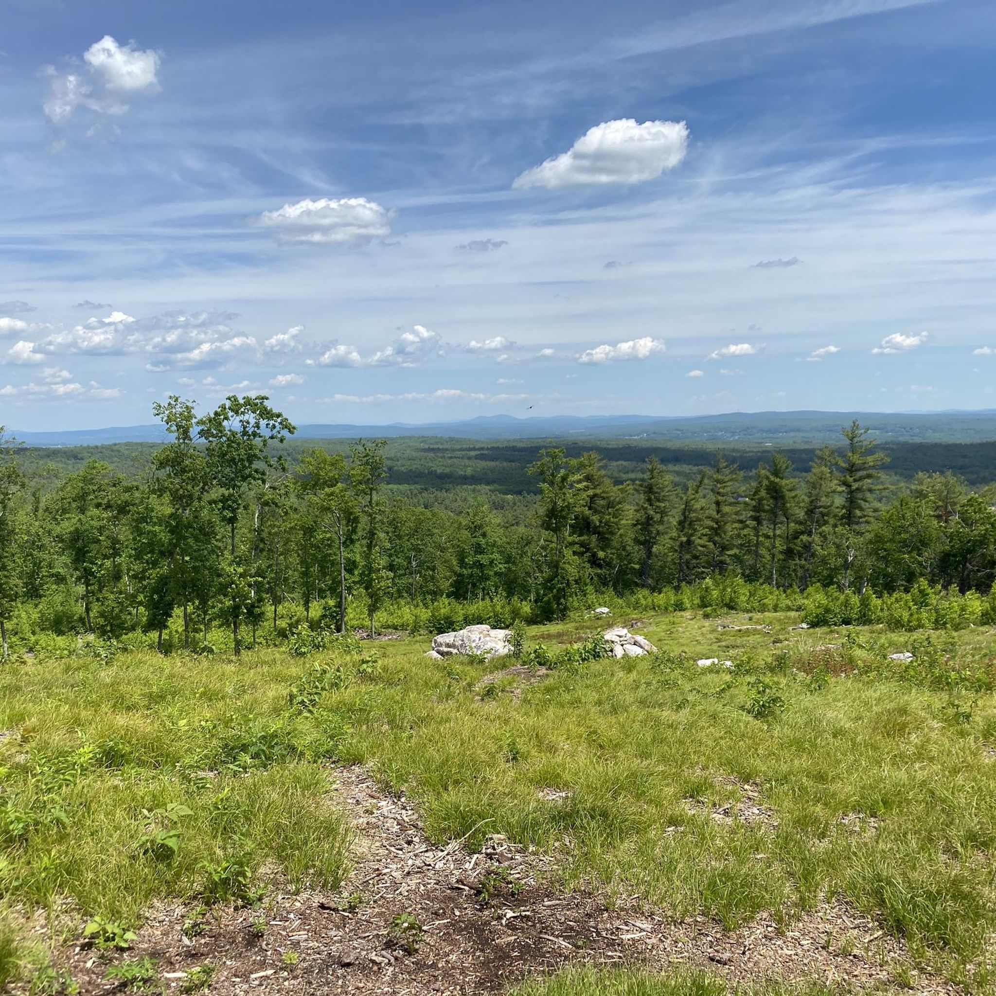
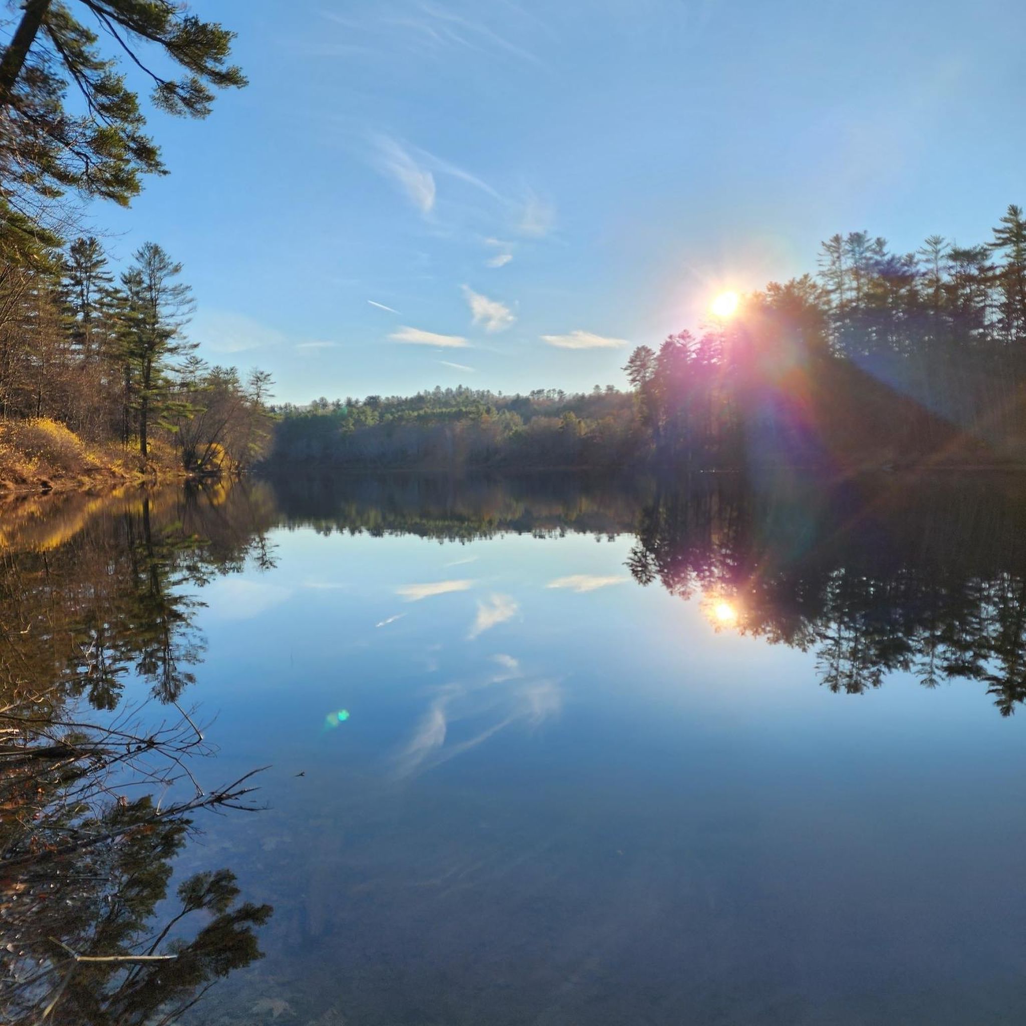
Hiking in Merrimack County, New Hampshire, explores a landscape characterized by rolling hills, dense forests, and prominent peaks such as Mount Kearsarge and Mount Sunapee. The region's terrain is defined by numerous state parks and conservation areas, featuring trails that wind past lakes, rivers, and marshes. The Merrimack River is a central natural feature, with a floodplain landscape supporting diverse wildlife. This varied environment offers a network of routes with different elevations and lengths.
Last updated: July 7, 2026
4
hikers
6.44km
01:44
80m
80m
The Bear Brook, Carr Ridge, and Hayes Farm Loop offers a delightful and easy hiking experience through the varied landscapes of Bear Brook State Park. This 4.0-mile (6.4 km) route, with a modest 252 feet (77 metres) of elevation gain, takes about 1 hour and 43 minutes to complete. You'll traverse peaceful woodlands, hear the gentle sounds of a flowing brook, and discover the significant marsh area along the Hayes Farm Trail, eventually reaching the picturesque Hayes Marsh where you can observe unique wetland flora and fauna.
This accessible loop is ideal for all skill levels, providing a less strenuous option within New Hampshire's largest developed state park. While Bear Brook State Park boasts over 40 miles of trails, this particular combination is designed for moderate physical activity without significant challenges. It's a great choice for a relaxing outing, allowing you to reconnect with nature without needing extensive preparation.
Bear Brook State Park is characterized by its diverse ecosystems, including heavily forested areas, marshes, bogs, and several ponds. The Hayes Marsh, with its small island, is a notable highlight, offering chances to spot wildlife such as painted turtles, frogs, and great blue herons. This loop provides a wonderful opportunity to explore these natural settings and enjoy the tranquil atmosphere of the park.
5.0
(1)
4
hikers
8.15km
02:15
140m
140m
Embark on a moderate hike up Catamount Hill via the Bear Brook Upper Trail, a 5.1 miles (8.2 km) route that takes about 2 hours and 15 minutes to complete. You will gain 447 feet (136 metres) in elevation as you traverse varied woodland scenery. The journey culminates at the semi-open ledges of Catamount Hill, offering expansive views of the surrounding landscape.
When planning your visit, be aware that some parts of the trail system might not be clearly marked, and cell service can be unreliable. It is a good idea to bring a physical map or download an offline GPS map before you go. Parking is usually available, but always check for local signs and regulations. Also, be mindful that sections of the trail can become slippery after rain due to wet leaves.
This trail provides a classic New England woodland experience within Bear Brook State Park. While the main draw is the summit vista, exploring longer loops in the park might reveal seasonal waterfalls along the Cascade Trail after significant rainfall. The route offers a rewarding outdoor escape, showcasing the natural beauty of the area.

Sign up for free
4
hikers
9.29km
02:30
120m
120m
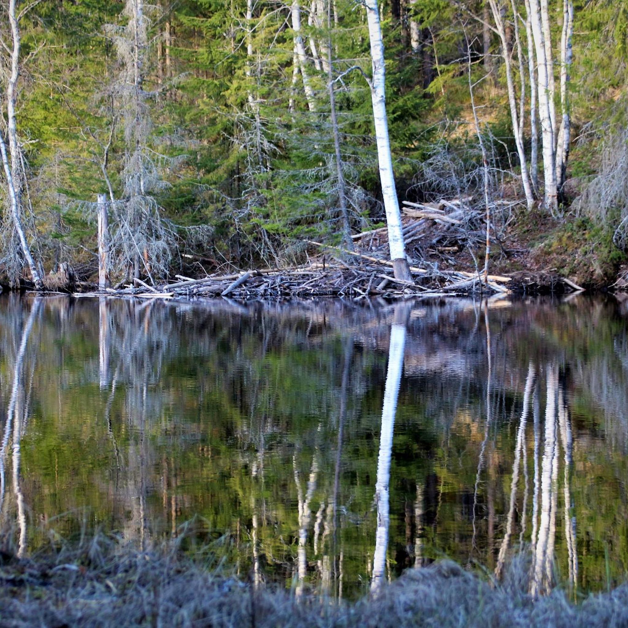
Embark on the Mill Pond and Gum Tree Trail Loop for a moderate hiking experience through varied terrain. You will encounter old logging roads and interesting rock formations as the path winds through a diverse forest. Keep an eye out for the unique beaver pond, featuring dams at both its northern and southern ends, and admire the large trees that lend the Gum Tree Trail its name. This route covers 5.8 miles (9.3 km) with an elevation gain of 406 feet (124 metres), typically taking about 2 hours and 30 minutes to complete.
The Mill Pond and Gum Tree Trail Loop is situated within the Kuncanowet Town Forest in Dunbarton, New Hampshire. Access to the trailhead is generally straightforward, making it easy to begin your hike. While there are no specific warnings regarding permits, fees, or seasonal closures mentioned for this area, it is always a good practice to check local conditions before you head out. Consider starting your hike earlier in the day to fully enjoy the forest environment and complete the moderate route comfortably.
This area is known for its rich wildlife, offering opportunities to spot animals such as moose, bear, beaver, or deer during your journey. The interconnected network of trails within the Kuncanowet Town Forest allows for a customizable experience, letting you explore different sections beyond this specific loop. This flexibility makes the route a great option for those who enjoy adapting their hike to their preferences.
4
hikers
8.78km
02:22
110m
110m
Embark on a moderate hike through the Conservation Commission Lands and Bow School Wildlife Loop, a 5.5 miles (8.8 km) journey that takes you through the scenic Knox and School Forests. You will experience a gentle ascent, gaining 357 feet (109 metres) over approximately 2 hours and 21 minutes. As you walk, you will find yourself surrounded by diverse natural features, including quiet watersheds and seasonal vernal pools. The trail offers a peaceful atmosphere, perfect for enjoying the outdoors.
This well-maintained route is easily accessible, making it simple to start your adventure. Parking is available at the trailhead, ensuring a convenient beginning to your hike. If you plan to bring your dog, remember to keep them on a leash to protect the local wildlife and ensure a pleasant experience for everyone on the path. The trail system is clearly marked, helping you navigate with ease.
The Conservation Commission Lands are dedicated to preserving important wildlife habitats within the Knox and School Forests. As you explore, you will encounter various ecosystems, including wetlands and areas around vernal pools, which are crucial for local species. This makes the loop an excellent choice if you are interested in wildlife viewing and appreciating protected natural areas.
3
hikers
5.56km
01:25
20m
20m
Step into a peaceful woodland escape on the Mast Yard, Red Pine, and Old Rail Trail Loop, an easy 3.5-mile (5.6 km) hike that winds through impressive stands of old-growth red and white pine trees. With only 50 feet (15 metres) of elevation gain, this route offers a quiet, shaded atmosphere and scenic views of Dolf Brook and the Contoocook River, making it a perfect choice for a relaxed outing that takes around 1 hour and 24 minutes.
The trail features gentle, flat paths, especially along the historic "Old Rail Trail" sections, making it highly accessible for families and those seeking a low-impact walk. It's an ideal spot for a spontaneous adventure, and its multi-use nature means you might also encounter mountain bikers or cross-country skiers, depending on the season. Parking is generally available at the trailhead, ensuring a convenient start to your journey.
Historically, the "Mast Yard" area was renowned for supplying massive trees, two to three feet in diameter, which were used as ship masts in the early 1800s. This loop uniquely blends these historical pathways with the natural beauty of mature pine forests. The trail also connects via a pedestrian/snowmobile bridge over the Contoocook River to other trails in Concord, offering opportunities to explore further.
3
hikers
1.16km
00:17
0m
0m
Experience a unique natural environment on the Philbrick-Cricenti Bog Trail, an easy hike covering just 0.7 miles (1.2 km). You will find yourself walking on boardwalks and bog bridging that float above a mat of tundra-like vegetation, sometimes feeling it 'quaking' gently under your feet. This short route involves a minimal elevation gain of only 3 feet (1 metre), making it very accessible for a quick outing. Allow about 17 minutes to complete the loop, giving you time to observe the unusual flora. Look for pitcher plants and sundews thriving in this special ecosystem.
Before you head out, remember that dogs are not allowed on the Philbrick-Cricenti Bog Trail. This rule helps protect the delicate plant life and ensures the safety of all visitors. The trail is generally accessible for most, but be aware that some sections of the floating boardwalks might require a good sense of balance. Plan your visit during daylight hours to fully appreciate the bog's unique features.
This trail offers a rare opportunity to explore a true bog ecosystem, which is a type of wetland characterized by its acidic, nutrient-poor soil and unique plant communities. You can even find a 'Peek Hole Loop' where a pole shows you the water depth beneath the floating bog. It is a fascinating glimpse into a world often hidden from view, showcasing the resilience of nature in challenging conditions.
2
hikers
8.67km
02:53
420m
420m
Embark on a moderate hike up Ragged Mountain from Andover, a route that spans 5.4 miles (8.7 km) and involves a significant elevation gain of 1379 feet (420 metres). You can expect to complete this journey in approximately 2 hours and 53 minutes. The trail guides you through varied terrain, transitioning from wider paths to steeper, more rugged ascents within the forest, offering rewarding views overlooking Andover and Bradley Lake, with Mount Kearsarge visible in the distance.
To begin your adventure, you can access the trail from several points, including the Proctor Academy parking area in Andover. Another popular starting point is via the Sunapee-Ragged-Kearsarge Greenway (SRKG) from New Canada Road. Be aware that some access routes, such as the one originating from Proctor Academy, are generally considered more challenging, so plan your approach accordingly.
This hike is notable for its impressive geological features, including The Bulkhead, a striking 300-foot (91-meter) granite cliff that stands as a prominent landmark. You also have the option to detour to Balanced Rock for additional scenic viewpoints. The trail provides a rewarding experience through diverse landscapes in central New Hampshire, making it a distinctive regional outing.
3
hikers
2.86km
00:43
0m
10m
The Hooksett Riverwalk Trail offers a delightful blend of natural beauty and local history, making it a standout easy hike in the region. You'll wander along packed dirt paths, crushed stone, and paved sections, enjoying views of the Merrimack River and old railroad abutments. The path meanders through open fields and peaceful wooded areas, with benches placed along the way for resting and taking in the surroundings. Keep an eye out for wildflowers and wildlife as you explore this gentle route.
Planning your visit is straightforward, with kiosks providing maps at the trailheads. The trail is generally accessible, though some sections might be softer after rain or covered in snow during winter, so check conditions before you go. It's a quick outing, taking about 43 minutes to complete its 1.8 miles (2.9 km) with a minimal 15 feet (5 metres) of elevation gain, making it perfect for a casual stroll.
What truly sets this trail apart is its historical significance, utilizing part of an old rail bed and featuring informational signs about the area's past. A notable highlight is the Brick Kiln Historic Loop Trail, which branches off the main path with boardwalks traversing wetlands, offering insights into the Head & Son Brick Yard. This area is also designated a Monarch Waystation, supporting monarch butterfly conservation efforts.
3
hikers
2.61km
00:40
0m
10m
The Les Clark Nature Trail in Concord, New Hampshire, offers a delightful and easy escape into nature, winding through diverse landscapes that feel far removed from the city. You'll experience everything from a unique pine plantation to rare silver maple floodplain forests, all while following about half a mile of frontage along the Merrimack River. Keep an eye out for wildlife like beavers and various bird species, especially around Eastman Cove, an oxbow marsh that adds to the trail's scenic charm.
This 1.6-mile (2.6 km) hiking route is rated easy, with a minimal 12 feet (4 metres) of elevation gain, and can be completed in about 39 minutes, making it ideal for a quick, refreshing walk. A significant portion of the trail from the parking area is accessible with a smooth, compacted crushed stone surface, perfect for strollers or mobility aids. Parking is readily available at the trailhead, and the trail is dog-friendly, though leashes are required.
What truly sets this trail apart is its commitment to accessibility and education, featuring 18 interpretive points that highlight natural features along the way. It's a fantastic option for families, beginners, or anyone seeking a gentle outdoor experience with high natural payoff. The trail's varied ecosystems, from wooded swamps to river views, make it a rich habitat for wildlife spotting throughout the seasons.
2
hikers
3.57km
00:55
10m
20m
The Batchelder Mill Red and Green Trail Loop offers a delightful, easy hike through a classic pine barren habitat, where sandy soil gives way to a mix of pine and oak forests. You'll enjoy a peaceful journey along former logging roads, with a notable observation platform providing views over the Mill Brook wetlands, making it a perfect spot for a quick nature fix.
This accessible route is ideal for a relaxed outing, covering 2.2 miles (3.6 km) with a minimal 48 feet (15 metres) of elevation gain, typically taking around 54 minutes to complete. Located in East Concord, the trailhead is easy to access, and the trail is suitable for all skill levels, including families and those new to hiking. Dogs are welcome, but please keep them on a leash.
Beyond the natural beauty, the trail system is rich in history, featuring remnants of a historic dam and an old brick mill foundation dating back to the 18th century. The interconnected, color-blazed paths allow for flexible route planning, and the presence of Mill Brook itself adds to the scenic charm, offering a glimpse into Concord's past.
Get access to more routes and recommendations from other explorers.
Sign up for free
Already have an account?
Our route recommendations are based on thousands of hikes, rides, and runs completed by other people on komoot.
Start today with a free account
Your next adventure awaits.
Login or Signup
Popular around Merrimack County
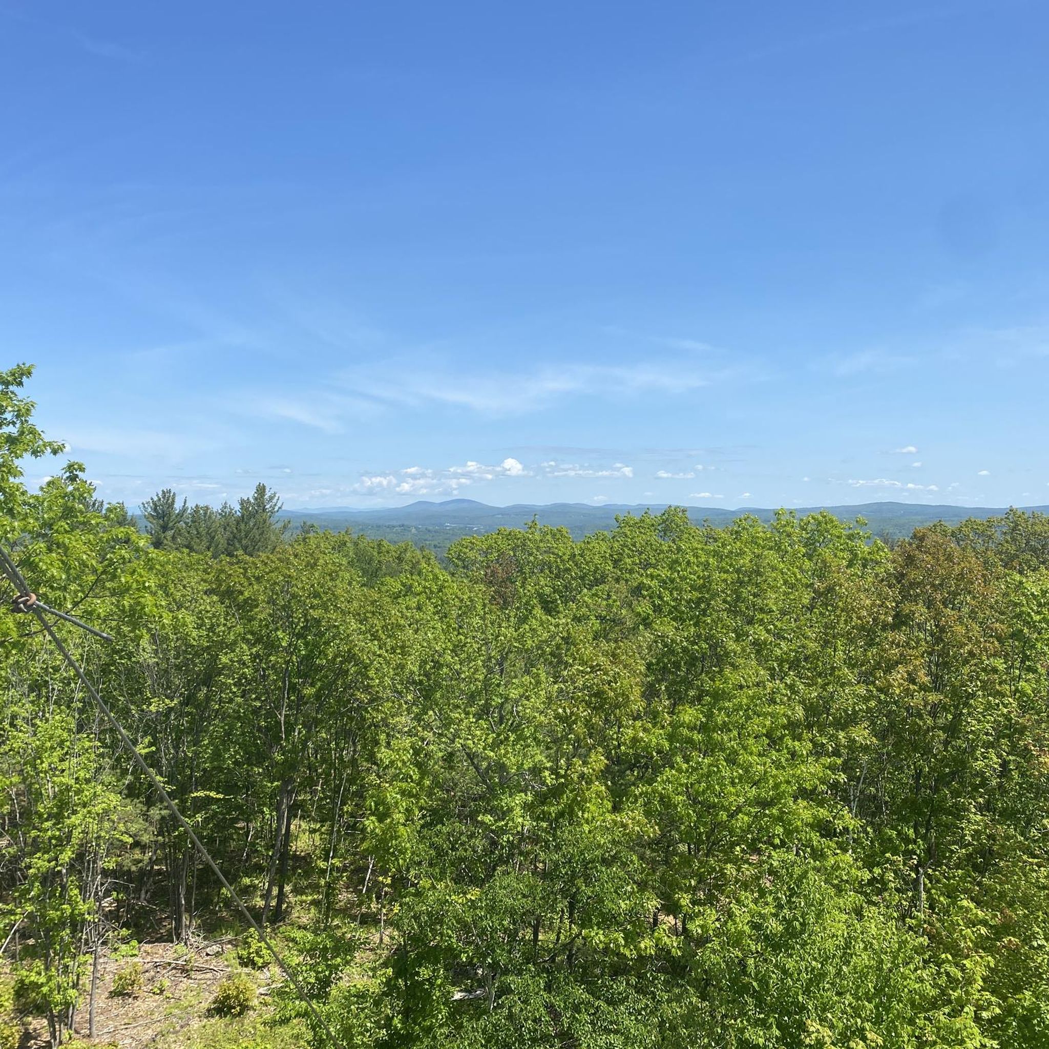
Knox Forest and School Forest offer several loops of multi-use trails. Mountain biking is allowed, but you're asked to follow the International Mountain Bicycling Association's rules of the trail, including letting other trail users know you're coming and yielding when you actually encounter them.
0
0
Great walk through the forest! At Cascade Trail, the path is narrow and more dynamic. If it's wet, you'll need some sturdy shoes and you should be sure-footed – the trail might be very slippery due to the wet leaves. You might get lucky and see some deer.
1
0
Yes, the region has many options suitable for families. For a gentle walk through the woods, consider the Knowlton Forest and Oak Hill trail. It's a relatively flat 3.4-mile (5.4 km) path. Another great choice is the Pulpit Rock Conservation Area, which is highly regarded by local families for its manageable trails and rewarding views.
For a more strenuous hike, the Sunapee Mountain & Summit via Andrew Brook Trail offers a significant climb. This 5.7-mile (9.2 km) route ascends through the forest to the summit of Sunapee Mountain, rewarding you with expansive views.
Many trails in Merrimack County are dog-friendly, but it's important to check the specific regulations for each park or conservation area before you go. Places like the Gateway Trail are known to be great for walks with pets. Always keep your dog on a leash and be prepared to clean up after them to help preserve the natural environment.
Yes, you can find trails with waterfalls. The Wildcat Conservation Area is a popular local spot known for its beautiful waterfall. The trails there are relatively short, making it a great option for a quick and scenic walk.
For panoramic vistas, the summit of Mount Kearsarge is hard to beat. On a clear day, you can see for miles. Another excellent option for great views is the White Cliff Overlook via Newbury Trail in Sunapee State Park, which provides a stunning lookout point.
Absolutely. Loop trails are great for experiencing varied scenery without backtracking. The Mount Kearsarge loop is a fantastic moderate option. For an easier circular route, the Catamount Hill and One Mile Loop offers a pleasant 3.6-mile (5.8 km) walk.
The hiking season typically runs from late spring to fall. Summer offers lush green forests, while autumn provides spectacular fall foliage, making September and October particularly popular. Winter hiking is also possible with the right gear, like snowshoes or microspikes, as many trails are accessible year-round.
Most trailheads in Merrimack County are best accessed by car. Parking is available at most state parks and conservation areas, but lots can fill up quickly, especially on weekends. For popular spots like Mount Kearsarge or the Wildcat Conservation Area, it's wise to arrive early to secure a spot.
It depends on where you go. Many town forests and conservation areas offer free access. However, state parks like Bear Brook State Park, Winslow State Park, and Rollins State Park typically charge an entrance fee, which helps with trail maintenance and park facilities.
The diverse habitats of Merrimack County support a variety of wildlife. It's common to see white-tailed deer, squirrels, and chipmunks. In wetland areas like the Merrimack River Outdoor Education & Conservation Area, you might spot beavers, turtles, and various bird species, including ospreys and bald eagles. Always observe wildlife from a safe distance.
The area is highly rated by the komoot community, with an average score of 4.9 stars. Reviewers often praise the region's well-maintained trails, the variety of hikes available for all skill levels, and the beautiful panoramic views from peaks like Mount Kearsarge and Mount Sunapee.
Yes, if you're looking for solitude, exploring some of the town forests can be a great option. The Neville Peak Loop – Epsom Town Forest is a lovely trail that is often less busy than the major mountain summits. Additionally, the extensive network of trails at Horse Hill Nature Preserve provides plenty of space to find a quiet path.


Check out more Hikes throughout Merrimack County below and find the perfect route in your destination.
Browse the best Hikes in other regions.