The best walks and hikes in Brown County
4.8
(62)
914
hikers
56
hikes
Hiking in Brown County, Indiana, offers diverse terrain characterized by rolling hills, dense deciduous forests, and numerous lakes. The region's elevation changes provide varied hiking experiences, from gentle lakeside paths to more challenging ascents. Natural features include the expansive Brown County State Park, which is known for its scenic overlooks and wooded valleys. Hikers can explore a network of trails that showcase the area's unique landscape.
Best hiking trails in Brown County
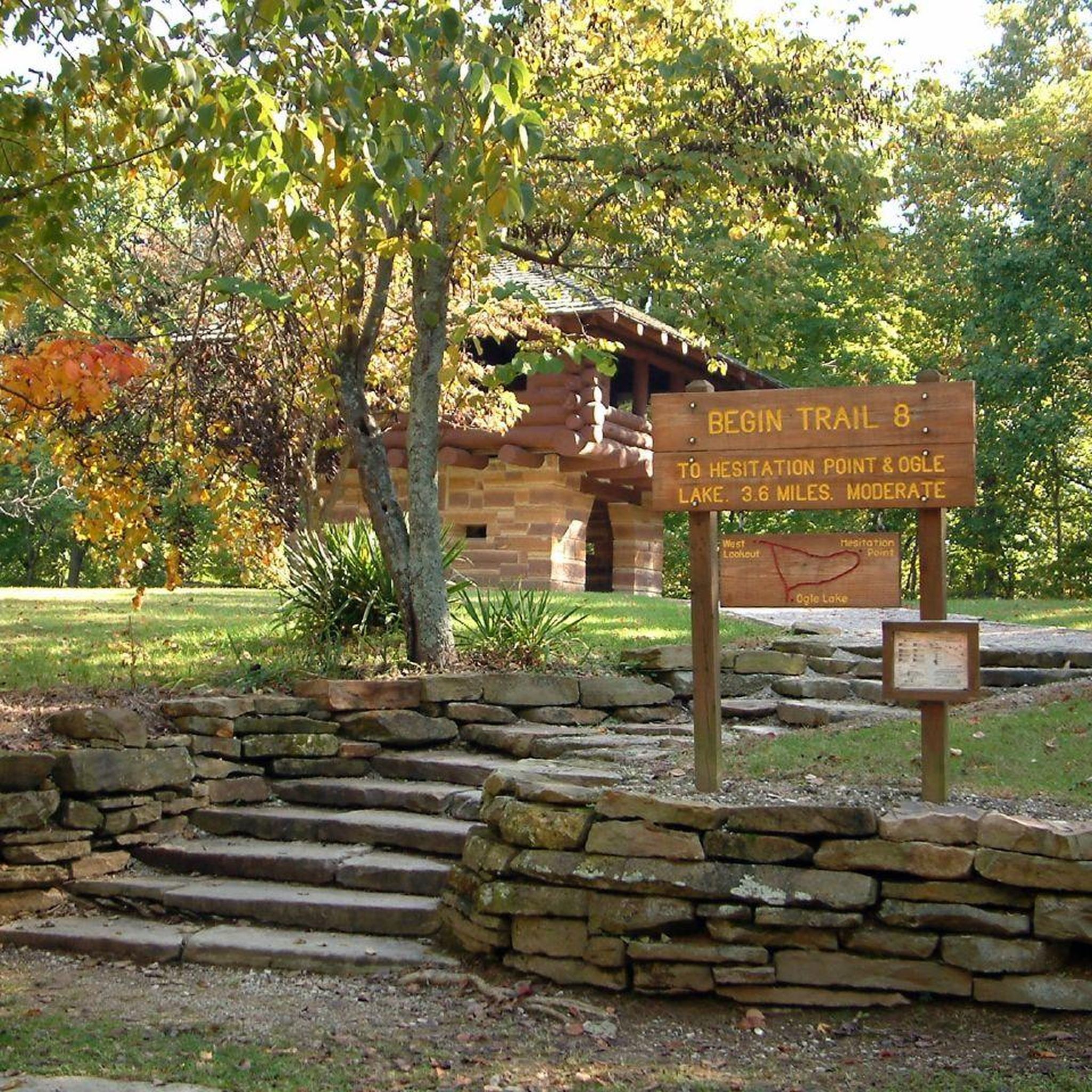
- The most popular hiking route is West Overlook loop via Trail 8 — Brown County State Park, a 4.2 miles (6.8 km) trail that takes 1 hour 52 minutes to complete. This easy loop trail offers scenic views within Brown County State Park.
- Another top favourite among local hikers is Ogle Lake loop — Brown County State Park, an easy 2.8 miles (4.4 km) path. This trail circles Ogle Lake, providing tranquil waterside scenery.
- Local hikers also love the Ogle Lake via Trails 9 and 11 — Brown County State Park, a 9.2 miles (14.8 km) trail leading through wooded hills and valleys, often completed in about 4 hours 13 minutes.
- Hiking in Brown County is defined by rolling hills, dense forests, and serene lakes. The network offers options for different ability levels, from easy family-friendly hikes to more challenging routes with significant elevation changes.
- The routes in Brown County are highly rated by the komoot community with an average score of 4.8 stars from over 30 reviews. More than 400 hikers have used komoot to explore Brown County's varied terrain.
Last updated: October 10, 2026
4.3
(6)
36
hikers
4.80km
01:21
100m
100m
The Strahl Lake Trail offers a peaceful journey through the forested landscape of Brown County State Park, winding past mossy ground and distinctive sycamore trees. The highlight is undoubtedly Strahl Lake itself, with its clear, cool waters reflecting the surrounding foliage, creating a serene atmosphere. Depending on recent rainfall, you might even discover a small waterfall along the way, adding to the trail's charm.
This easy 3.0-mile (4.8 km) hiking route, with a gentle 329 feet (100 metres) of elevation gain, typically takes about 1 hour and 21 minutes to complete. While the lake loop is quite flat and family-friendly, be aware that connecting to the Nature Center involves a significant descent and ascent via wooden stairs, increasing the overall Strahl Lake Trail hiking difficulty. The best time of year to hike Strahl Lake Trail is often in the fall for stunning colors.
Strahl Lake is a notable feature in the park because it's closed to boats, ensuring a tranquil environment perfect for swimming, fishing (with a permit), or simply relaxing by the water's edge. The lake is regularly stocked with various fish species, making it a popular spot for anglers. This blend of tranquil lakeside paths and forested sections makes it a favorite among visitors seeking a refreshing natural escape.
4.7
(3)
31
hikers
14.2km
04:08
340m
430m
Embark on the Ogle Lake and Taylor Ridge Trail Loop for a moderate hiking adventure that blends serene lakeside paths with more challenging ridge-top sections. This 8.8-mile (14.2 km) route will take you about 4 hours and 7 minutes to complete, with an elevation gain of 1128 feet (344 metres). You'll enjoy tranquil vistas of the 17-acre Ogle Lake, its surface often reflecting the sky and surrounding forest. The trail then leads you through lush hardwood forests, where oak, hickory, and maple trees create a vibrant canopy, especially beautiful in the fall. Keep an eye out for wildlife like white-tailed deer and various birds as you explore.
When planning your hike, note that there is no direct parking at the Taylor Ridge Trailhead. You can easily access this combined loop by connecting from the Ogle Lake area, often via Trail 11 (Vollmer Trail). The Ogle Lake area provides well-maintained paths and clean restroom facilities near the trailhead, making it a convenient starting point. Be aware that some sections of the trail can become muddy, particularly after rain, so it is wise to plan your visit accordingly and wear appropriate footwear.
This loop offers a diverse experience within Brown County State Park, showcasing Indiana's original Hoosier landscape. The Taylor Ridge section, which includes the Ten O'Clock Line Nature Preserve, provides a unique glimpse into the region's natural heritage. This trail is an excellent choice if you are looking for a varied hike that combines peaceful waterside views with the rugged beauty of a forest ridge.

5.0
(1)
10
hikers
7.54km
02:05
130m
130m
Embark on the Scarce O' Fat Trail, a moderate hike spanning 4.7 miles (7.5 km) through the Southern Indiana hardwood forests of Yellowwood State Forest. You will gain 437 feet (133 metres) in elevation over an estimated 2 hours and 5 minutes, traversing narrow ridgetops and deep, secluded hollows. The route often follows intermittent streams, offering a dynamic landscape. A highlight is the climb up High King Hill, where you can enjoy fantastic panoramic views of Yellowwood Lake and its serene surroundings. Expect vibrant colors in autumn and a display of wildflowers during spring and summer.
Prepare for rugged and uneven terrain on this route; you will encounter roots, rocks, and potentially muddy conditions, particularly within the hollows. Navigation apps are highly recommended for this trail, as some junctions along the way may not be clearly marked. While the route offers a remote feel, it is easily accessible within Yellowwood State Forest. Plan your visit accordingly to ensure a smooth and enjoyable experience.
This challenging loop offers a rewarding experience for hikers seeking a true Indiana wilderness adventure. The trail leads you through high-quality hardwood forests, providing a sense of seclusion and natural beauty. It stands out as a notable option for those looking to immerse themselves in the region's diverse ecosystems and enjoy a substantial outdoor excursion.
13
hikers
4.65km
01:20
110m
110m
The Taylor Ridge Trail in Brown County State Park offers a delightful journey through pristine hardwood forests, perfect for a tranquil escape. This 2.9-mile (4.7 km) lollipop trail, rated easy, guides you along a ridgeline before descending into a drainage area and then climbing back up, showcasing beautiful wildflowers in spring and vibrant fall foliage. With 361 feet (110 metres) of elevation gain, it's a rewarding hike that typically takes around 1 hour and 19 minutes, ideal for nature lovers seeking a peaceful experience.
Accessing the Taylor Ridge Trail requires a short detour, as there's no direct public parking at its trailhead. Hikers usually begin by taking Trail 11 (Vollmer Trail) from Ogle Lake to reach it. Dogs are welcome to join you on this adventure, provided they remain on a leash. For the most scenic experience, plan your visit during the spring to catch the wildflowers or in the autumn for the spectacular display of fall colors.
This trail is a highlight within the Ten O'Clock Line Nature Preserve, an area renowned for its rich biodiversity and significant hardwood forests that have been largely preserved since early settlement. You might spot wildlife such as red bats, bobcats, or eastern box turtles. It's a fantastic option for those looking for a family-friendly hike that offers a genuine connection with Indiana's natural heritage.
10
hikers
2.53km
00:42
50m
50m
The Saddle Barn Loop Trail offers a delightful escape into Brown County State Park's natural and historical landscape. This easy 1.6-mile (2.5 km) loop takes about 42 minutes to complete, guiding you through rolling hills and wooded sections where you'll spot hardwoods, wildflowers, and an abundance of ferns. You'll also encounter unique landmarks like the historic Saddle Barn and a stone tunnel built for horses, providing a blend of natural beauty and historical intrigue.
Accessing the trail is simple, with the trailhead situated conveniently behind the Abe Martin Lodge. Parking is typically available in the lodge area, making it an easy starting point for your adventure. There are no permits or fees required for this trail, and it's generally accessible throughout the year, offering a pleasant outing whenever you choose to visit.
What makes this trail particularly special is its rich history, with structures like the Saddle Barn and the stone tunnel dating back to the Civilian Conservation Corps era. Beyond the historical elements, the route is a haven for wildlife, with opportunities to spot various insects like water striders in the streams and diverse flora. It's a fantastic option for those seeking a short, engaging hike with a manageable 156 feet (48 metres) of elevation gain, perfect for families or a quick nature fix.
4
hikers
16.0km
04:25
270m
270m
Embark on the Hesitation, Aynes, Bobcat Loop for a moderate hiking adventure that covers 10.0 miles (16.0 km) with an elevation gain of 872 feet (266 metres). You can expect to complete this route in about 4 hours and 24 minutes, winding through dense forestland. The highlight of your journey will be the panoramic views from Hesitation Point Overlook, offering expansive vistas of Brown County's rolling hills and a true sense of immersion in nature.
This trail is located within Brown County State Park, so be prepared for park entrance fees if applicable. Parking is generally available at designated trailheads within the park, making access straightforward. Given the varied and sometimes technical terrain, ensure you are ready for a physically demanding experience. It's always a good idea to check park conditions before you head out, especially regarding trail status.
The Hesitation, Aynes, Bobcat Loop combines several paths, offering a diverse and challenging experience as you explore the park. During the fall, the forest transforms with vibrant colors, making it a particularly spectacular time to visit. You might also spot various wildflowers along the way, adding to the natural beauty and charm of the route.
4.0
(2)
2
hikers
7.03km
01:54
90m
100m
The Bartley Ridge, Lucas Hollow, and Tecumseh Trail Loop offers a genuine immersion into Indiana's hilly, wooded terrain. You'll experience a mix of elevated ridge walks and secluded hollows, with quiet stands of tall white pines along sections like Lucas Hollow, where you'll also find a steep descent. This diverse route combines different trail types, providing a varied hiking experience through lush, green forests where bird songs are a constant companion. Keep an eye out for deer, especially near ponds.
Planning your visit to this easy 4.4-mile (7.0 km) loop, which typically takes 1 hour and 54 minutes with 289 feet (88 metres) of elevation gain, is straightforward. The trail is well-marked with white blazes, but be mindful that active logging in the area can occasionally lead to re-routes. Spring offers beautiful wildflowers, and autumn transforms the landscape with vibrant foliage, making these the best times to visit.
This loop provides an excellent opportunity to sample the character of the much longer, 41-mile Tecumseh Trail without committing to a multi-day backpacking trip. It's a rewarding hike that showcases the natural beauty of the Yellowwood and Morgan-Monroe State Forests, offering a blend of forest double track and singletrack paths. The overall experience is suitable for most skill levels, despite some moderate sections.
1
hikers
3.47km
00:55
40m
30m
The Mountain Tea State Forest Cabin and Pond trail offers a truly tranquil hiking experience, guiding you through rolling hills dotted with mixed hardwoods and fresh pine stands. You'll navigate old logging roads, which can sometimes be overgrown, adding to the sense of a hidden gem. The route culminates at a charming rustic off-grid cabin and a small, mossy pond complete with a covered deck, providing a peaceful spot to pause and soak in the natural beauty.
Planning your visit to this easy 2.2-mile (3.5 km) hike, which takes about 55 minutes to complete with only 122 feet (37 metres) of elevation gain, requires a bit of preparation. The forest is known for its undeveloped character and lack of extensive signage, so bring a map or use a GPS to ensure you stay on track. Parking is available at the trailhead, and visiting during the spring or fall offers the most pleasant conditions for exploring.
This trail is particularly notable as it's part of Mountain Tea State Forest, one of Indiana's most recent public land additions, officially designated in 2020. It stands out for its remote and undeveloped feel, offering a sense of solitude away from more crowded routes. The forest is also involved in the "ForestIN" program, aiming to plant one million trees, adding to its ecological significance and making it a unique place to connect with nature.
5.21km
01:27
100m
100m
The Aynes Loop offers a serene journey through Brown County State Park's dense forest, where towering trees provide ample shade and a peaceful atmosphere. You'll follow a valley for part of the route, then gently climb out, encountering packed dirt and gravel paths. A unique highlight is the ruins of a cabin, complete with an intact chimney, offering a quiet moment of historical reflection amidst the lush greenery.
This easy 3.2-mile (5.2 km) hike, with 330 feet (101 metres) of elevation gain, typically takes about 1 hour and 27 minutes to complete. The trailhead is easily accessible within Brown County State Park, and parking is available. Since it's a multi-use trail, be mindful of mountain bikers; an early morning start can offer more solitude. Fall is particularly stunning for the vibrant autumn colors.
Hand-built by volunteers in 2004, the Aynes Loop is a classic piece of Midwest single track, connecting with other routes like Green Valley Trail and Hesitation Point Trail for extended adventures. Despite its popularity with mountain bikers, hikers can find quiet moments, especially if they visit during off-peak times. It's a great way to experience the park's natural beauty and a bit of its past.
2.66km
00:45
80m
20m
The Yellowwood Trail offers a serene and accessible escape into the heart of Yellowwood State Forest, perfect for a quick nature fix. This easy 1.7-mile (2.7 km) hiking route, with a gentle 248 feet (76 metres) of elevation gain, can be completed in about 44 minutes, guiding you through peaceful hardwood forests and diverse habitats. You'll find yourself immersed in deep woods, enjoying a tranquil experience away from more crowded areas.
Planning your Yellowwood Trail hiking adventure is simple, as parking is generally available at the trailhead within Yellowwood State Forest. This area is known for its quiet atmosphere, making it a great alternative if you're looking to avoid the busier trails often found in the region. No special permits are typically required, but it's always wise to check local park advisories before heading out, especially during changing seasons.
Yellowwood State Forest, encompassing over 24,000 acres, provides a rich tapestry of environments, from ridgetops to lakeshores. The Yellowwood Trail offers a glimpse into this natural beauty, providing a less rugged experience compared to some of the forest's more challenging paths. It's a fantastic option for those seeking beginner hiking trails in Yellowwood State Forest, offering a taste of Indiana's natural landscapes without demanding significant effort.
Get access to more routes and recommendations from other explorers.
Already have an account?
Our route recommendations are based on thousands of hikes, rides, and runs completed by other people on komoot.
Start today with a free account
Your next adventure awaits.
Popular around Brown County
Hiking in Brown County State Park
Hiking around Nashville
Hiking in Yellowwood State Forest

Hiking in Mountain Tea State Forest
The Tecumseh Trail — in the footsteps of Chief Tecumseh
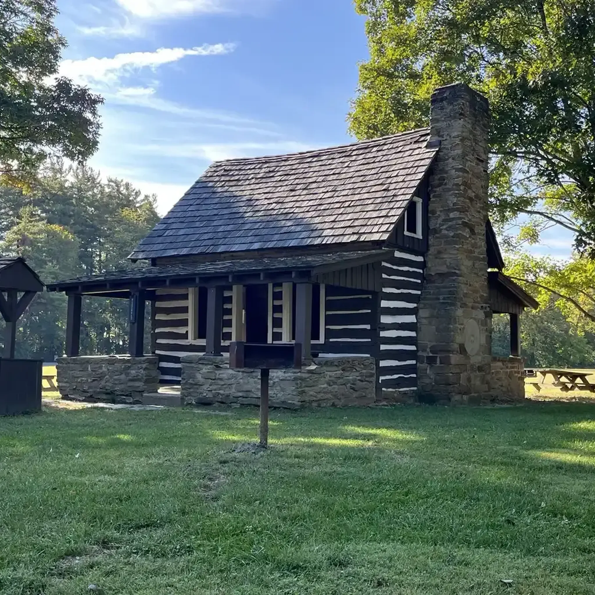
MTB Trails in Brown County

Running Trails in Brown County
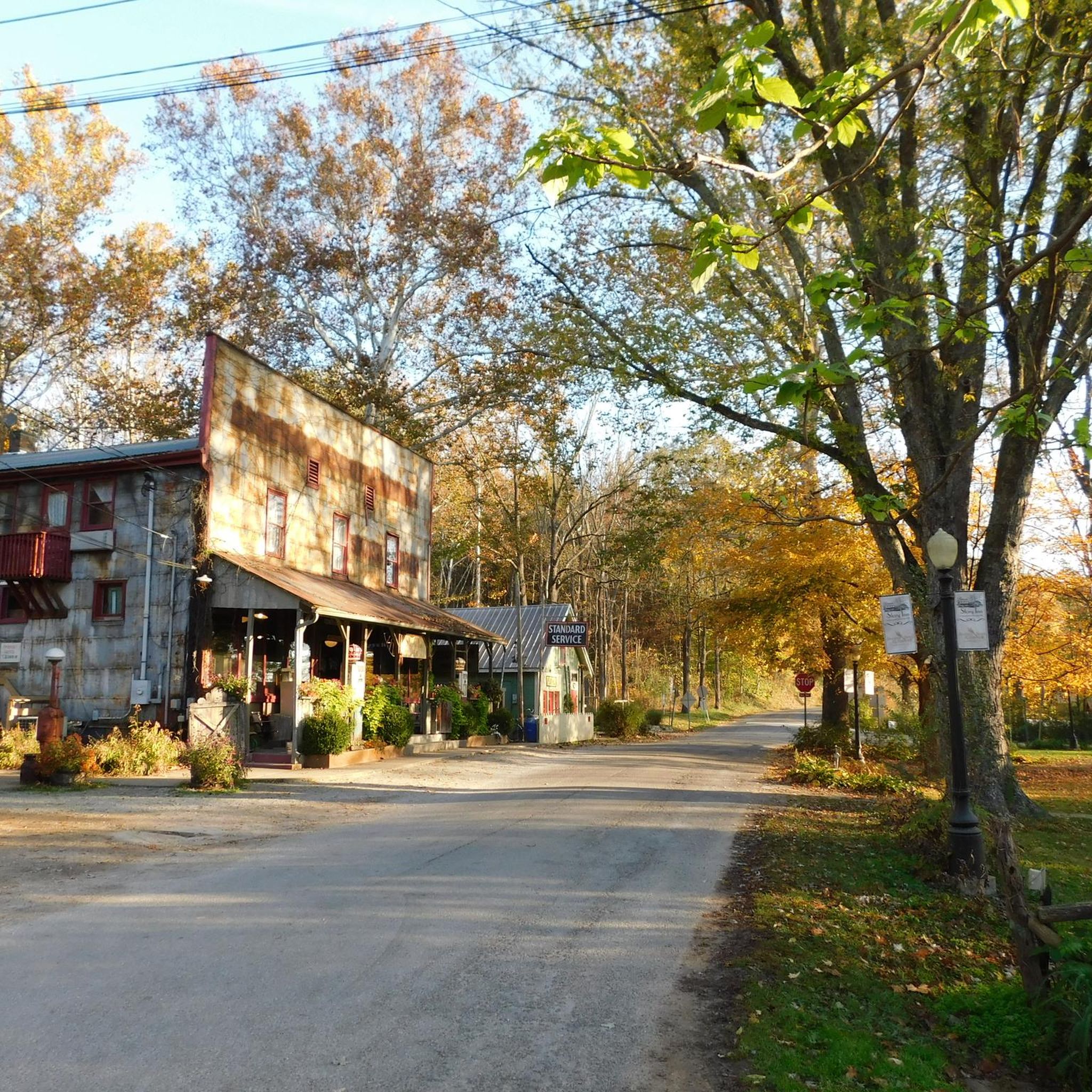
Road Cycling Routes in Brown County
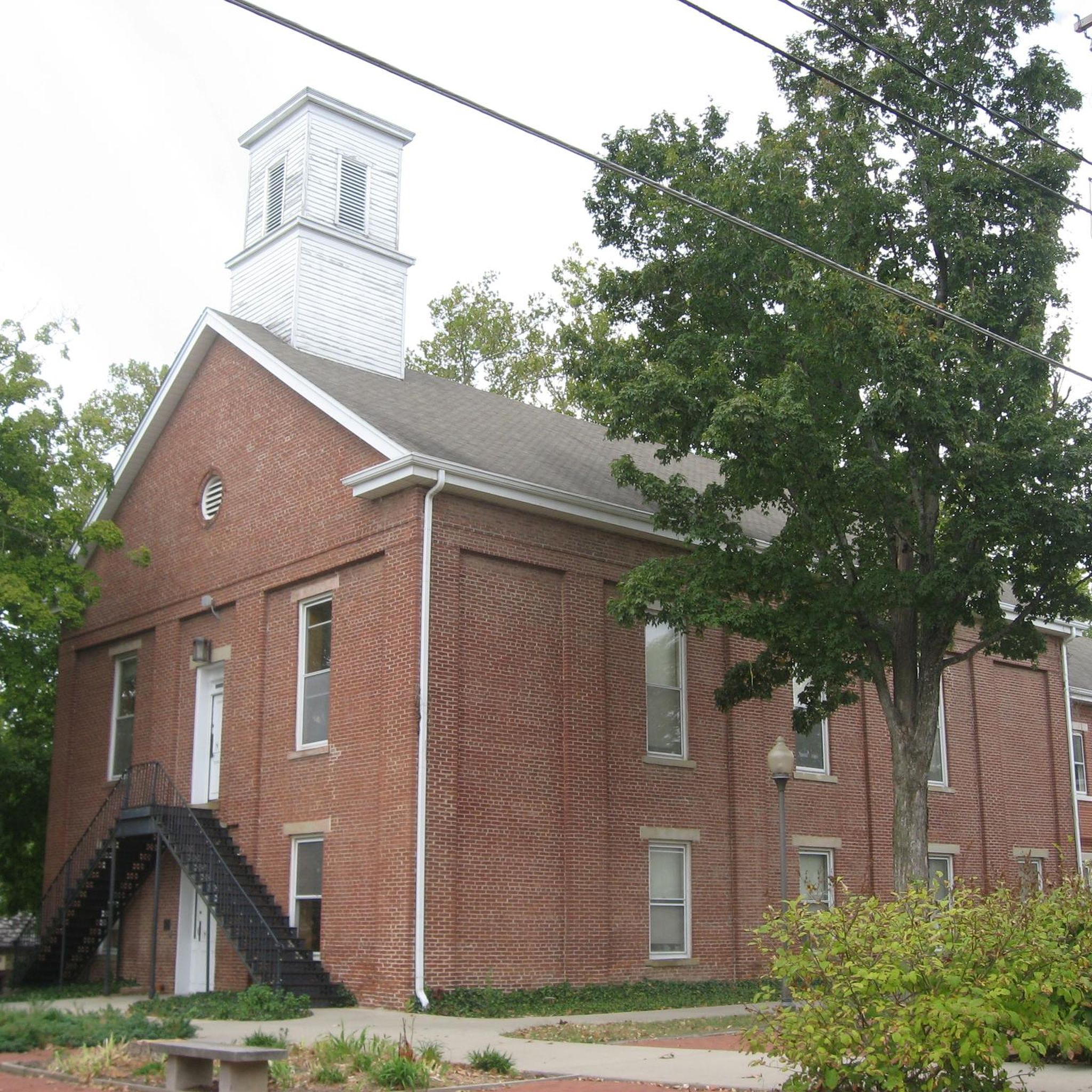
Cycling in Brown County

Gravel biking in Brown County
Other adventures in Brown County

Tips from the Community

Nice place for camping, cycling and hanging out with family and friends
1
0

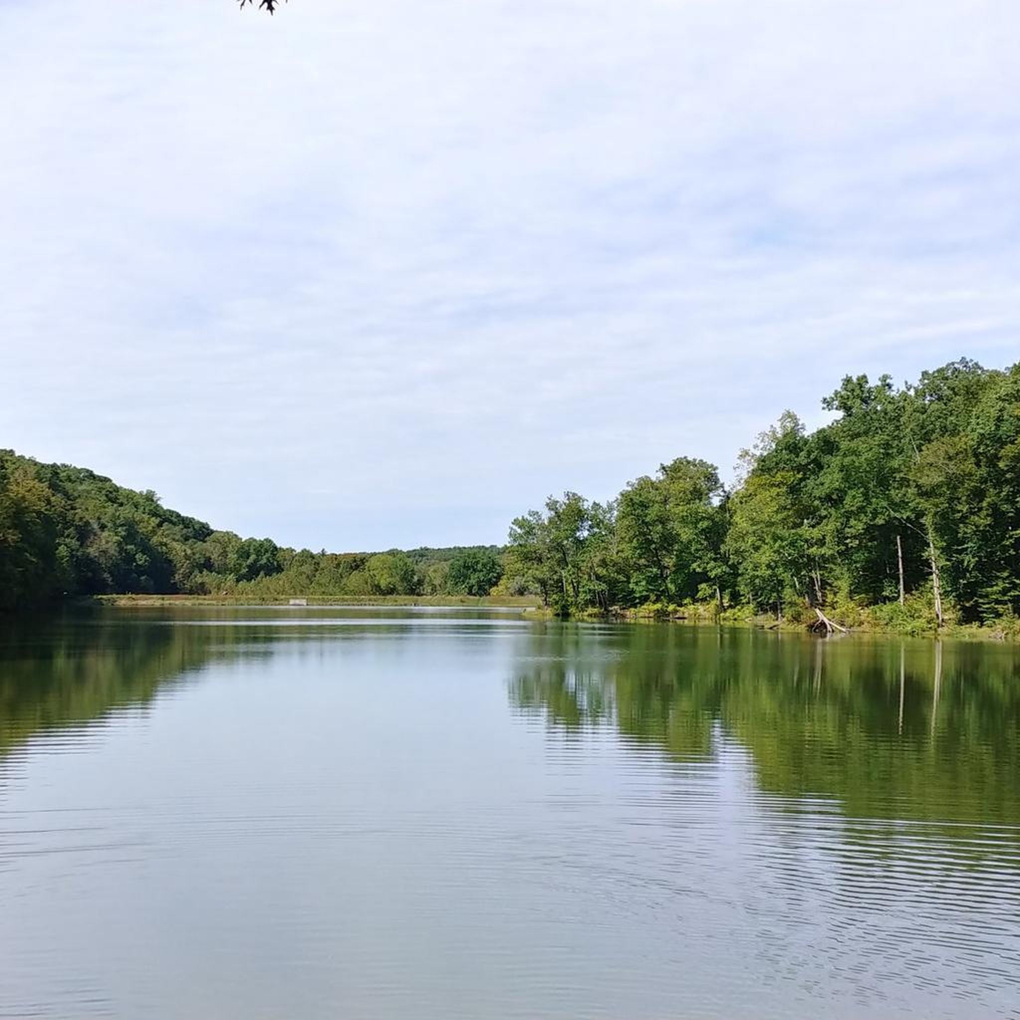
This 17-acre lake is crystal clear and is known as a good fishing spot. This is also a great area for viewing the changing colors in autumn.
0
0

A tower built with a stone base, and log cabin-style construction above that provides views in all directions over the park.
0
0
Hesitation Point is the name of both a peak and an official overlook pullout right off of West Gate Entrance Road. This point has an elevation of 1,003 feet and you can get additional views of the area from the trail that leaves from this parking area.
0
0

Yellowwood State Forest sees far fewer visitors than its neighbor Brown County State Park, so you're likely to experience a fair bit of solitude while hiking on one of the many trails located within the 23,300-acre property. The highlight of the forest is Yellowwood Lake, but many of the forested hills offer views and woodland scenes of their own.
0
0
Point in the forest where Shelley, Aynes, and Green Valley trails intersect. A good spot to take a break, and to meet up with other trail users who will eventually flow through this area.
0
0
Interpretive trail within a 41 acre tract that presents the diversity of the forest in this part of Indiana. The trail is great for taking the family on a short educational hike.
0
0
A tower built with a stone base, and log cabin style construction above that that provides views in all directions over the park.
0
0
Frequently Asked Questions
How many hiking trails are available in Brown County?
Brown County offers a diverse network of over 35 hiking trails. These range from easy strolls around lakes to more challenging routes through wooded hills, ensuring options for various skill levels.
What kind of terrain can I expect on Brown County trails?
The terrain in Brown County is characterized by rolling hills, dense deciduous forests, and serene lakes. You'll encounter varied elevation changes, from gentle paths to moderate ascents, providing a dynamic hiking experience.
Are there trails suitable for families or beginners?
Yes, Brown County has many family-friendly options. There are 18 easy trails, perfect for beginners or those looking for a relaxed walk. For example, the Ogle Lake loop — Brown County State Park is an easy 2.8-mile path that circles the lake, offering tranquil waterside scenery.
What do other hikers enjoy most about the trails in Brown County?
The trails in Brown County are highly rated by the komoot community, with an average score of 4.8 stars from over 30 reviews. Hikers frequently praise the scenic views, the peaceful forest atmosphere, and the well-maintained paths, especially within Brown County State Park.
Are there any scenic viewpoints along the hiking trails?
Absolutely. Brown County is known for its scenic overlooks. Notable viewpoints include Hesitation Point, Weed Patch Hill, and West Overlook, Brown County State Park, which offer expansive views of the rolling hills and forests.
Can I find trails that go past lakes in Brown County?
Yes, several trails feature beautiful lakes. You can explore routes around Strahl Lake, Ogle Lake, and Yellowwood Lake. The Yellowwood Lake loop — Yellowwood State Forest is a popular easy route that circles the lake.
Are there circular hiking routes available?
Many of Brown County's trails are designed as loops, allowing you to start and end at the same point. Examples include the West Overlook loop via Trail 8 and the Strahl Lake loop via Trail 6, both within Brown County State Park.
Is Brown County suitable for dog-friendly hikes?
Yes, Brown County State Park, the primary hiking area, generally allows dogs on trails, provided they are kept on a leash. Always check specific park regulations before your visit to ensure a pleasant experience for you and your pet.
What is the best time of year to hike in Brown County?
While beautiful year-round, autumn is particularly popular due to the stunning fall foliage. Spring offers wildflowers and milder temperatures, while summer can be warm and humid. Winter provides a quiet, serene experience, often with snow-covered landscapes.
Where can I find parking for Brown County trails?
Ample parking is available at various trailheads within Brown County State Park. Specific parking areas are usually marked on park maps, often near popular starting points like the Nature Center or major overlooks.
Are there any cafes or places to eat near the trails?
The nearby town of Nashville, Indiana, offers a variety of cafes, restaurants, and shops where you can refuel after your hike. It's just a short drive from Brown County State Park and provides numerous dining options.
Are there any longer, more challenging hikes in the area?
For those seeking a longer challenge, the Ogle Lake via Trails 9 and 11 — Brown County State Park is a moderate 9.2-mile trail that leads through wooded hills and valleys, typically taking over 4 hours to complete.
Most popular routes in Brown County
Most popular attractions in Brown County

Get inspired with the komoot mobile app


Didn’t find what you were looking for?
Check out more Hikes throughout Brown County below and find the perfect route in your destination.
Explore more
Browse the best Hikes in other regions.
